2023 Map of Marquette OE E
USGS Topo · Published 2023About this map
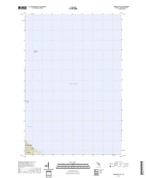
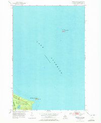
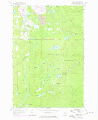
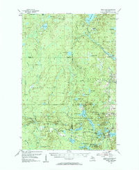
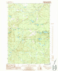
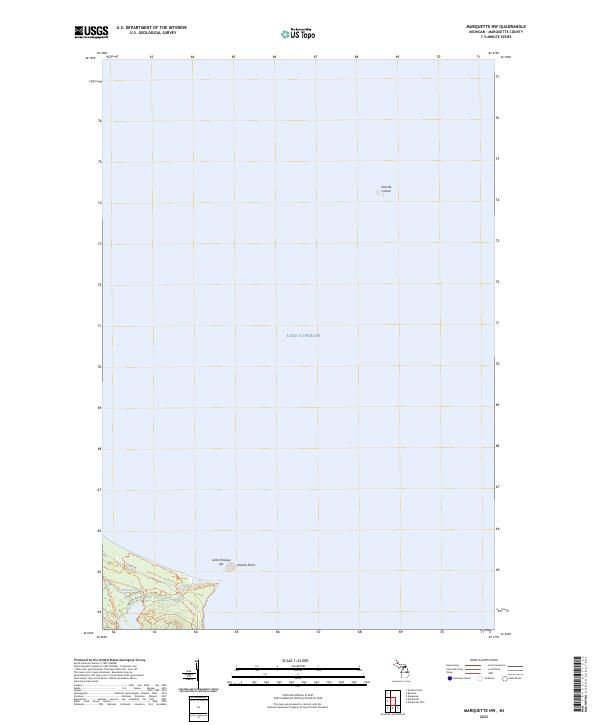
Lake Superior dominates this 2023 survey of the waters off the Upper Peninsula coastline, where the rugged maritime geography of Marquette Bay meets the open lake. The map documents the northern reaches of Marquette and the adjacent community of Harvey, situated along the southern curve of the bay. Navigation points like Lighthouse Point and the prominent Presque Isle Point Rocks highlight the natural hazards and landmarks that have guided shipping in this region for generations. Because the vast majority of this sheet covers the deep water of the Great Lakes, it provides a clear view of the bathymetric context and shoreline orientation of Michigan's historic iron-ore port city during the early 21st century.
Find a feature on this map
10 named features on this map. Tap any name to fly to it.
Don’t see what you’re looking for? This feature index may not catch every label — zoom into the map to look around manually.
Map Details
Editions of this 2023 Marquette OE E Map
This is the sole edition of this map. No revisions or reprints were ever made.
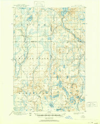
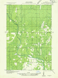
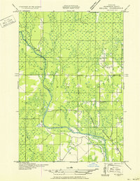
Historical Maps of Marquette Through Time
88 maps found
1899 Witbeck
Marquette County, MI

1932 Harvey NE
Marquette County, MI

1932 Harvey NW
Marquette County, MI

1932 Harvey SE
Marquette County, MI

1932 Harvey SW
Marquette County, MI

1932 Helena NE
Marquette County, MI

1932 Helena NW
Marquette County, MI
1932 Helena SE
Marquette County, MI

1932 Helena SW
Marquette County, MI

1932 Rock NW
Marquette County, MI

1932 Skandia SW
Marquette County, MI

1950 Skandia NW
Marquette County, MI

1951 Helena NE
Marquette County, MI

1951 Helena NW
Marquette County, MI
1951 Helena SE
Marquette County, MI

1951 Helena SW
Marquette County, MI
1952 Sands
Marquette County, MI
1953 Marquette NW
Marquette County, MI
1954 Huron Mountain
Marquette County, MI
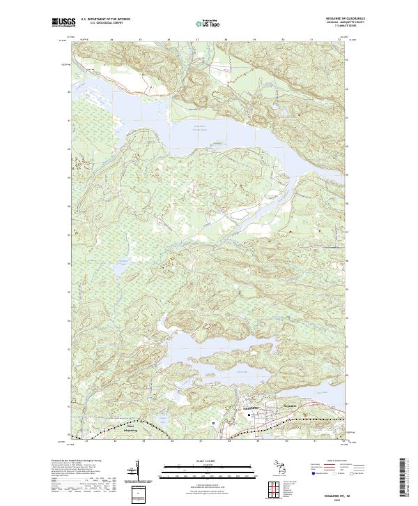
1954 Negaunee SW
Marquette County, MI
1955 Champion
Marquette County, MI
1955 Diorite
Marquette County, MI
1955 Greenwood
Marquette County, MI
1955 Republic SW
Marquette County, MI
1955 Witch Lake
Marquette County, MI
1955 Witch Lake
Marquette County, MI
1955 Witch Lake NE
Marquette County, MI
1958 Skandia
Marquette County, MI

1963 Watson
Marquette County, MI

1984 Howe Lake
Marquette County, MI

1984 Ives Hill
Marquette County, MI

1985 Buckroe
Marquette County, MI

1985 Bulldog Lake
Marquette County, MI

1985 Carlshend
Marquette County, MI

1985 Granite Point
Marquette County, MI

1985 Huron Mountain
Marquette County, MI

1985 Little Lake
Marquette County, MI

1985 McFarland
Marquette County, MI

1985 Mountain Lake
Marquette County, MI

1985 Negaunee NW
Marquette County, MI

1985 Silver Lake Basin
Marquette County, MI

1985 Skandia
Marquette County, MI

1986 Cataract Basin
Marquette County, MI
1986 Chabeneau Lake
Marquette County, MI
1986 Green Hills
Marquette County, MI

1986 Helena
Marquette County, MI

1986 Northland
Marquette County, MI

1986 Northland NE
Marquette County, MI
1989 Anderson Lake
Marquette County, MI
1989 Arnold
Marquette County, MI

1989 Helena
Marquette County, MI
1989 Swimming Hole Creek
Marquette County, MI

1996 Negaunee NW
Marquette County, MI

1996 Silver Lake Basin
Marquette County, MI

1999 Bulldog Lake
Marquette County, MI

2023 Anderson Lake
Marquette County, MI

2023 Arnold
Marquette County, MI

2023 Buckroe
Marquette County, MI
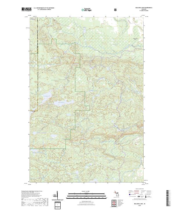
2023 Bulldog Lake
Marquette County, MI
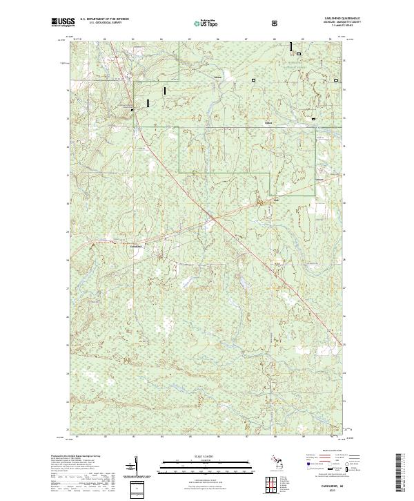
2023 Carlshend
Marquette County, MI
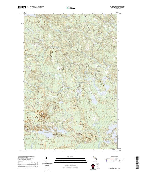
2023 Cataract Basin
Marquette County, MI
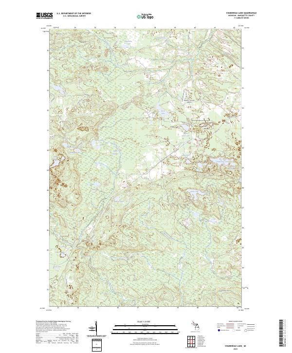
2023 Chabeneau Lake
Marquette County, MI
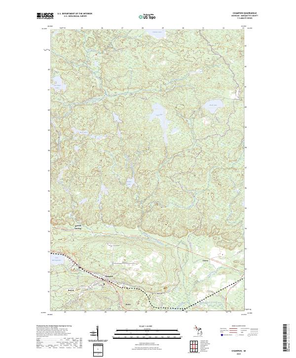
2023 Champion
Marquette County, MI
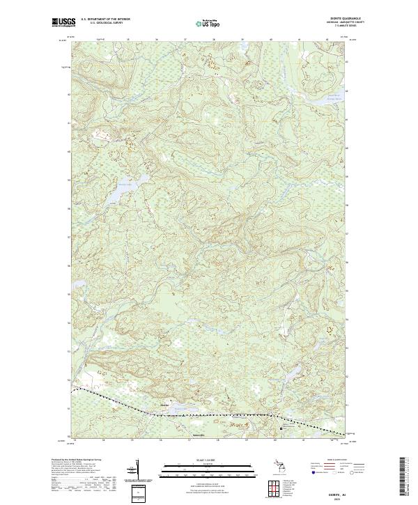
2023 Diorite
Marquette County, MI
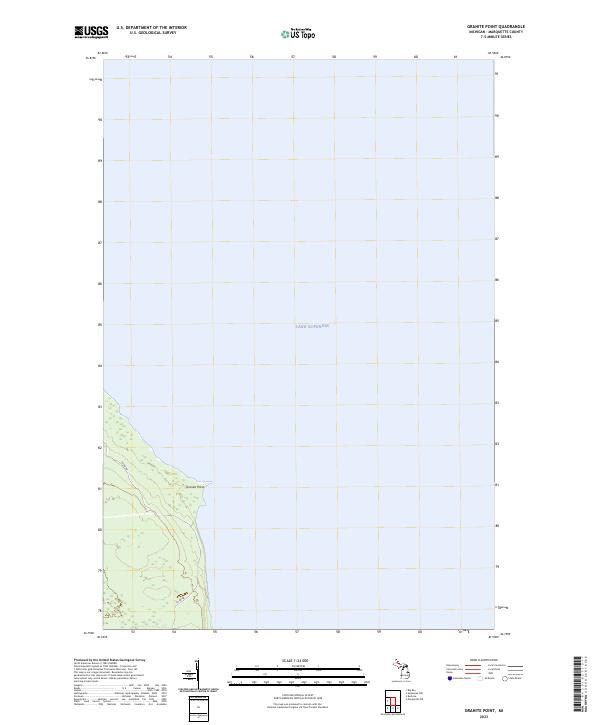
2023 Granite Point
Marquette County, MI
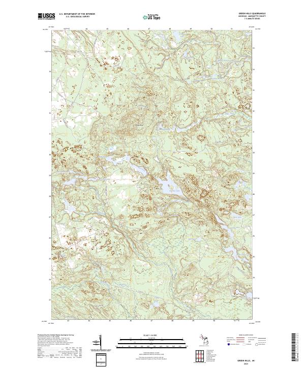
2023 Green Hills
Marquette County, MI
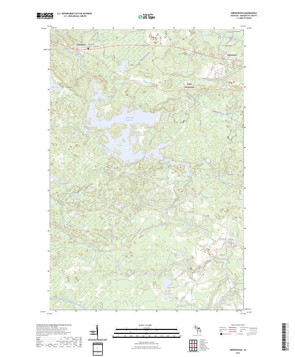
2023 Greenwood
Marquette County, MI
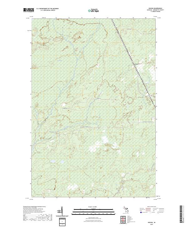
2023 Helena
Marquette County, MI
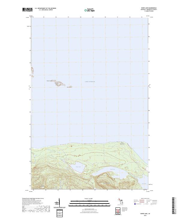
2023 Howe Lake
Marquette County, MI
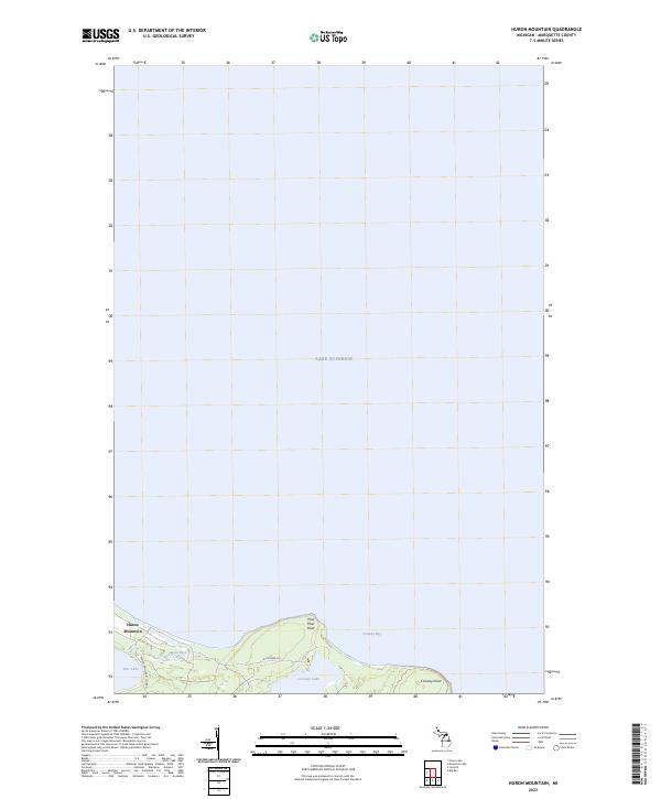
2023 Huron Mountain
Marquette County, MI
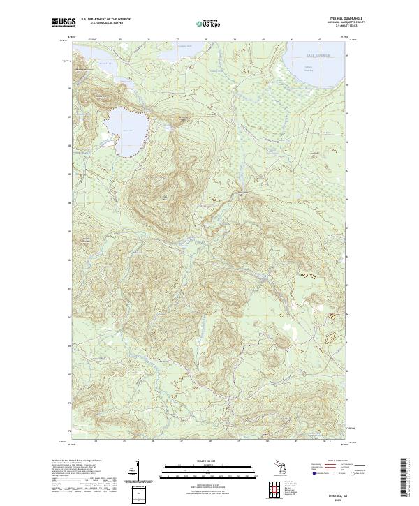
2023 Ives Hill
Marquette County, MI
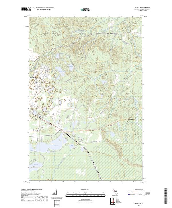
2023 Little Lake
Marquette County, MI
2023 Marquette NW
Marquette County, MI
2023 Marquette OE E
Marquette County, MI

2023 McFarland
Marquette County, MI

2023 Mountain Lake
Marquette County, MI
2023 Negaunee NW
Marquette County, MI
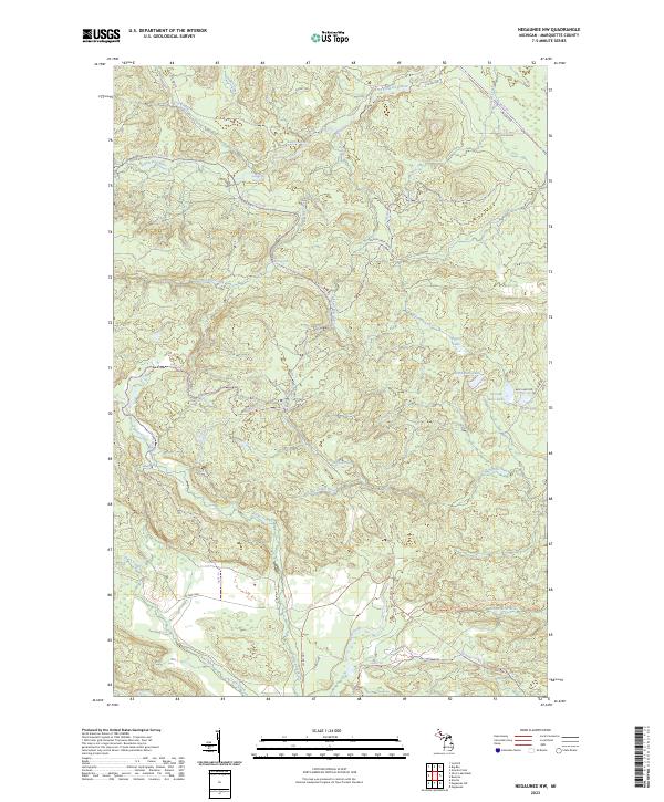
2023 Negaunee SW
Marquette County, MI

2023 Northland
Marquette County, MI

2023 Northland NE
Marquette County, MI
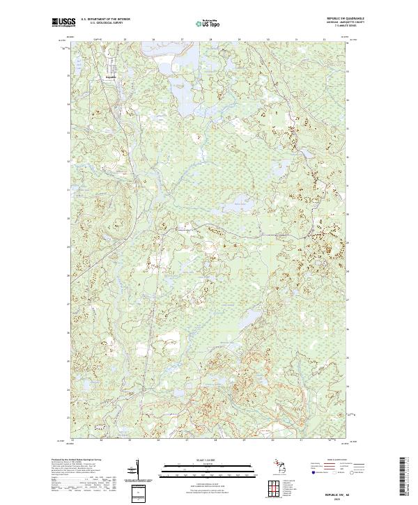
2023 Republic SW
Marquette County, MI
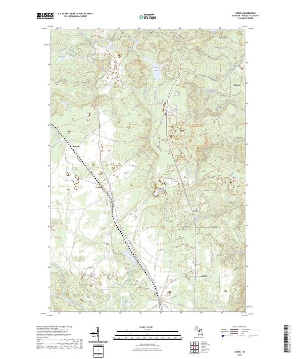
2023 Sands
Marquette County, MI
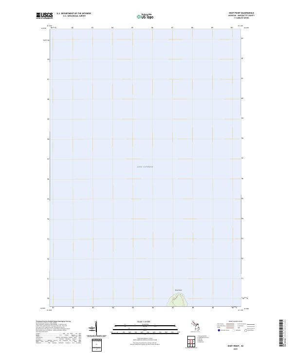
2023 Shot Point
Marquette County, MI
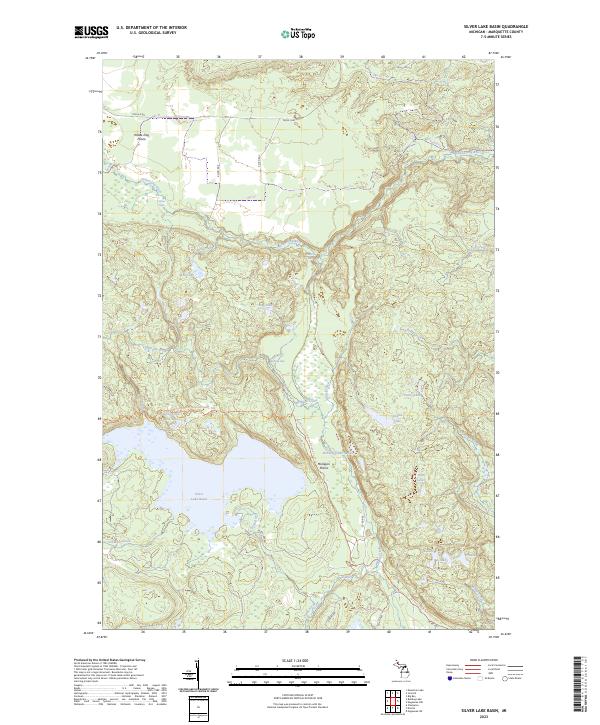
2023 Silver Lake Basin
Marquette County, MI
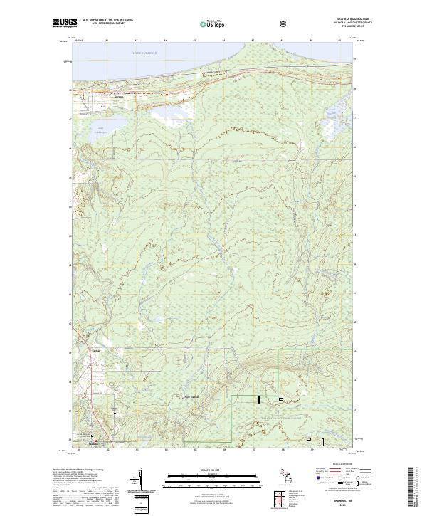
2023 Skandia
Marquette County, MI
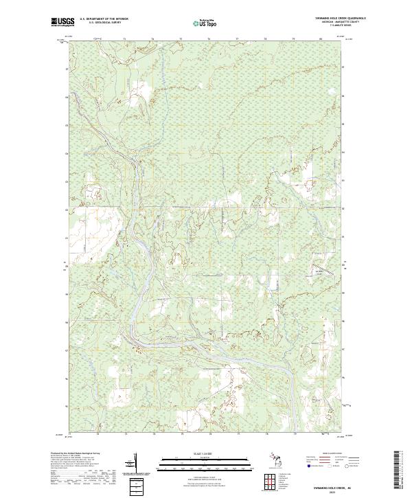
2023 Swimming Hole Creek
Marquette County, MI
2023 Witch Lake
Marquette County, MI
2023 Witch Lake NE
Marquette County, MI