
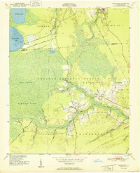
1951 Map of Masontown
USGS Topo · Published 1951About this map
Croatan National Forest dominates this mid-century landscape in eastern North Carolina, where the wetlands of the Lakes Pocosin meet the upper reaches of the Newport River. The map captures a unique coastal environment defined by a series of drainage canals, including the North Canal, Middle Canal, and South Canal, which intersect the woods near Ellis Lake. Small pockets of settlement are clustered along the eastern edge, notably at Holly Springs and Masontown, while the Atlantic and East Carolina railroad line cuts through the northern section near a private airstrip. Local transportation is marked by distinctive historic routes like the Nine Foot Road, and family-named landmarks such as Smiths Swamp and Mairey Branch indicate the deep-rooted local geography. A small, unnamed cemetery is situated near Milldam Branch, offering a specific point of interest for genealogical researchers.
Find a feature on this map
47 named features on this map. Tap any name to fly to it.
Don’t see what you’re looking for? This feature index may not catch every label — zoom into the map to look around manually.
Map Details
Editions of this 1951 Masontown Map
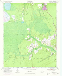
Other maps of this area

1942 · Maysville
USGS Topo · 1:62,500

1942 · Swansboro
USGS Topo · 1:62,500

1948 · Maysville
USGS Topo · 1:62,500

1948 · Swansboro
USGS Topo · 1:62,500

1949 · Havelock
USGS Topo · 1:24,000

1949 · Newport
USGS Topo · 1:24,000

1949 · Salter Path
USGS Topo · 1:24,000

1949 · Mansfield
USGS Topo · 1:24,000

1949 · Cherry Point
USGS Topo · 1:24,000

1949 · Masontown
USGS Topo · 1:24,000