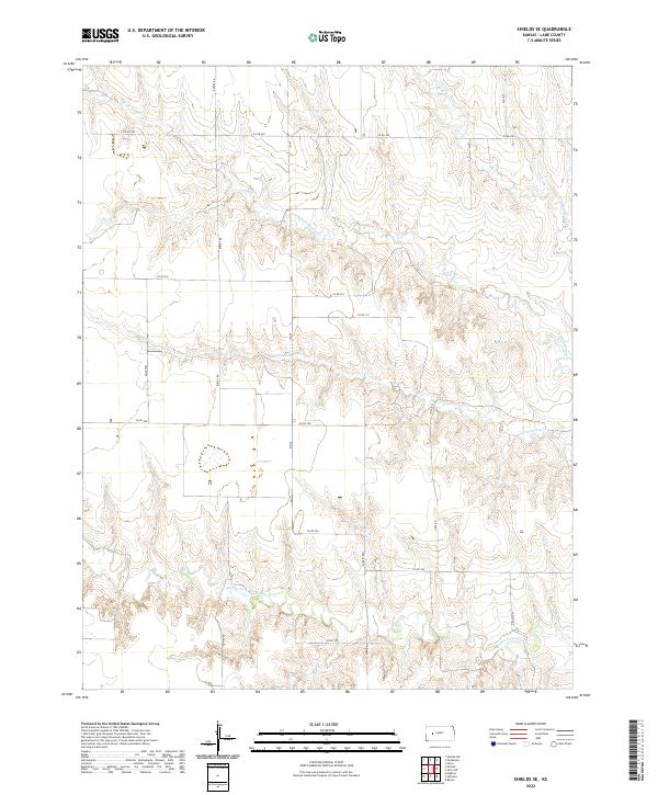
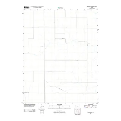
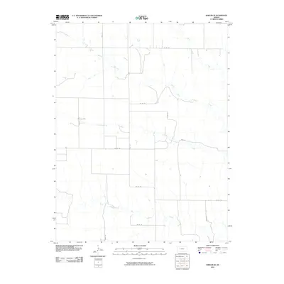
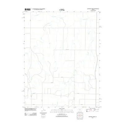
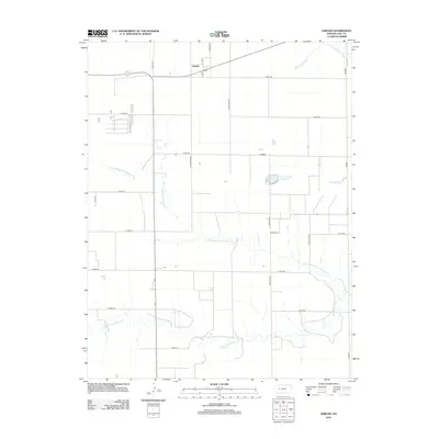
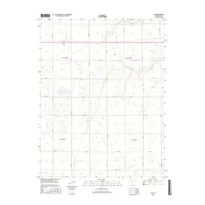
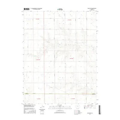
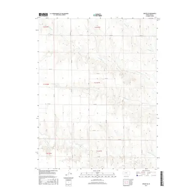
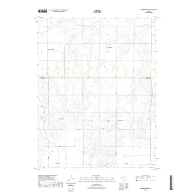
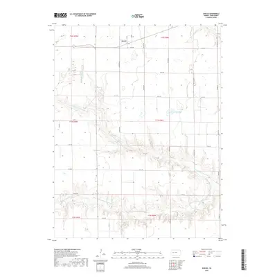
2022 Map of Shields SE
USGS Topo · Published 2022About this map
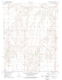
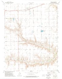
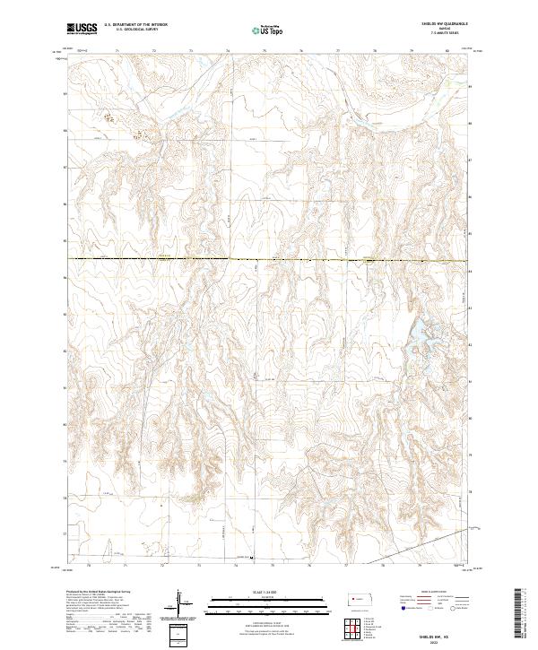
N Fork Walnut Cr and Middle Fork Walnut Cr define the drainage patterns of this high plains section of Lane County. The landscape is marked by the branching tributaries of Cottonwood Cr and Wild Horse Cr, which carve through the terrain between the established grid of local county roads. This 2022 survey captures the modern rural infrastructure, where named routes like Rowdy Rd, Turkey Rd, and Vista Rd intersect with the section lines. The map reveals the persistence of agricultural boundary markers across several townships, including t17s r27w and t18s r28w, showing how the land remains partitioned for ranching and farming long after the initial settlement of western Kansas. Scattered wetlands, originally recorded in the mid-1980s, persist near the headwaters of the various creek forks.
Find a feature on this map
25 named features on this map. Tap any name to fly to it.
Don’t see what you’re looking for? This feature index may not catch every label — zoom into the map to look around manually.
Map Details
Editions of this 2022 Shields SE Map
This is the sole edition of this map. No revisions or reprints were ever made.
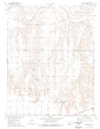
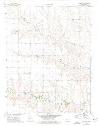
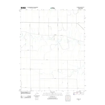
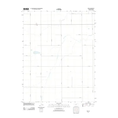
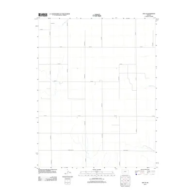
Historical Maps of Lane County Through Time
60 maps found
1974 Alamota
Lane County, KS
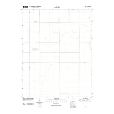
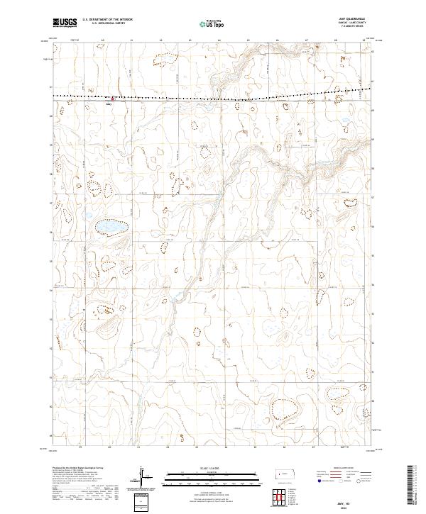
1974 Amy
Lane County, KS
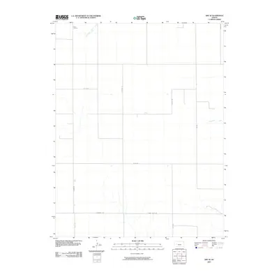
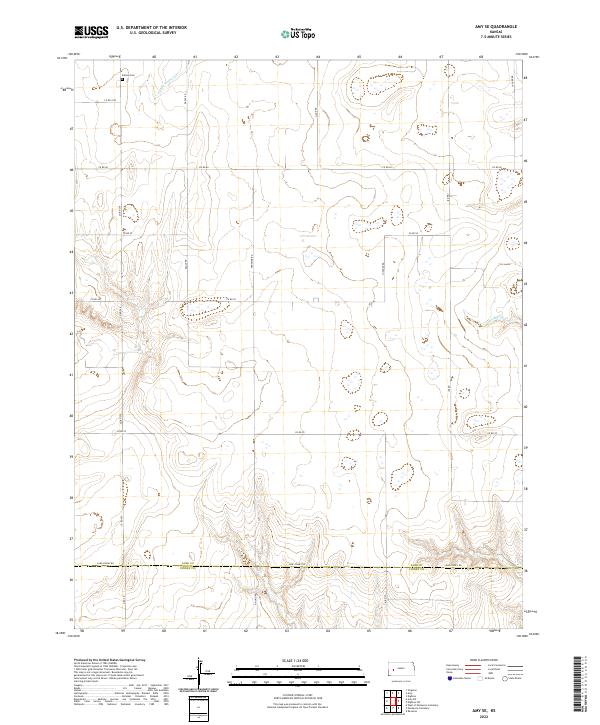
1974 Amy SE
Lane County, KS
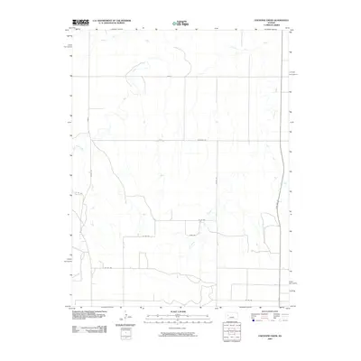
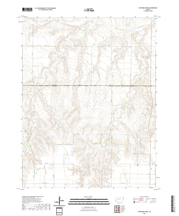
1974 Cheyenne Creek
Lane County, KS
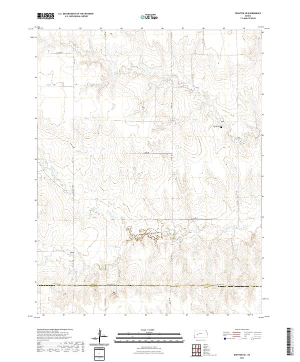
1974 Dighton SE
Lane County, KS
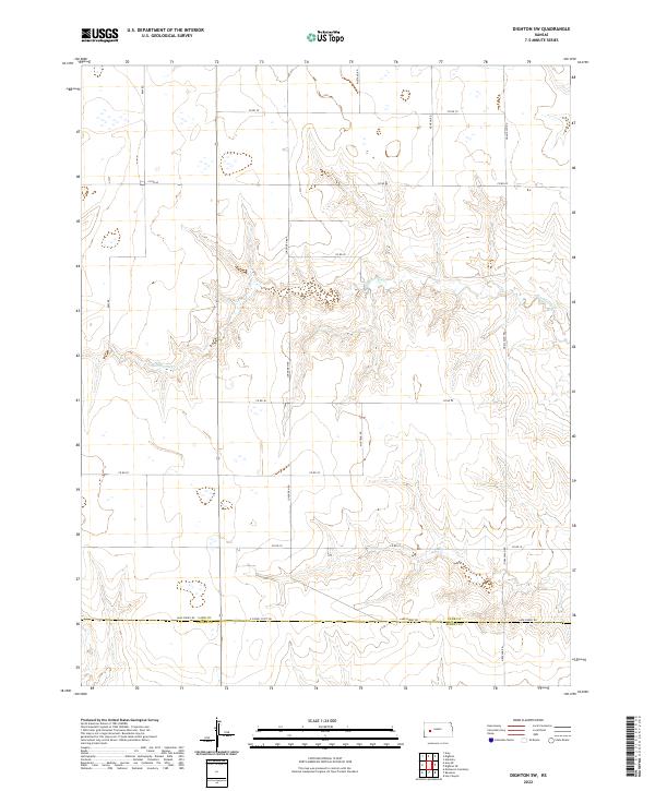
1974 Dighton SW
Lane County, KS
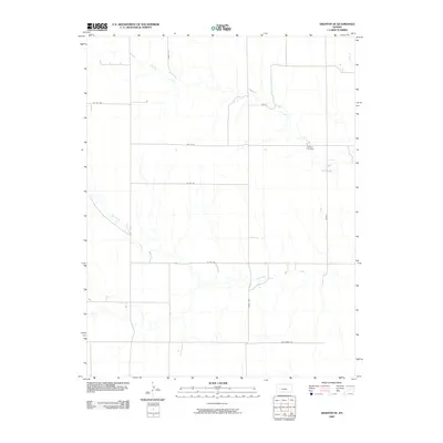
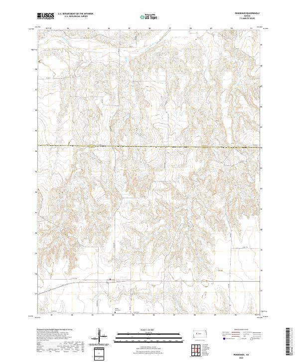
1974 Pendennis
Lane County, KS
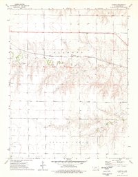
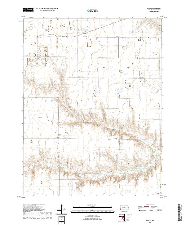
1974 Shields
Lane County, KS
1974 Shields NW
Lane County, KS
1974 Shields SE
Lane County, KS
2009 Alamota
Lane County, KS
2009 Amy
Lane County, KS
2009 Amy SE
Lane County, KS
2009 Cheyenne Creek
Lane County, KS
2009 Dighton SE
Lane County, KS
2009 Dighton SW
Lane County, KS
2009 Pendennis
Lane County, KS
2009 Shields
Lane County, KS
2009 Shields NW
Lane County, KS
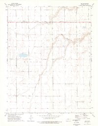
2010 Shields SE
Lane County, KS
2012 Alamota
Lane County, KS
2012 Amy
Lane County, KS
2012 Amy SE
Lane County, KS
2012 Cheyenne Creek
Lane County, KS
2012 Dighton SE
Lane County, KS
2012 Dighton SW
Lane County, KS
2012 Pendennis
Lane County, KS
2012 Shields
Lane County, KS
2012 Shields NW
Lane County, KS
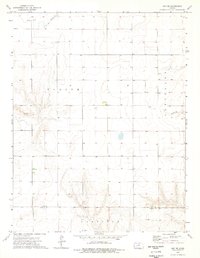
2012 Shields SE
Lane County, KS
2015 Alamota
Lane County, KS
2015 Amy
Lane County, KS
2015 Amy SE
Lane County, KS
2015 Cheyenne Creek
Lane County, KS
2015 Dighton SE
Lane County, KS
2015 Dighton SW
Lane County, KS
2015 Pendennis
Lane County, KS
2015 Shields
Lane County, KS
2015 Shields NW
Lane County, KS
2015 Shields SE
Lane County, KS
2018 Alamota
Lane County, KS
2018 Amy
Lane County, KS
2018 Amy SE
Lane County, KS
2018 Cheyenne Creek
Lane County, KS
2018 Dighton SE
Lane County, KS
2018 Dighton SW
Lane County, KS
2018 Pendennis
Lane County, KS
2018 Shields
Lane County, KS
2018 Shields NW
Lane County, KS
2018 Shields SE
Lane County, KS
2022 Alamota
Lane County, KS
2022 Amy
Lane County, KS
2022 Amy SE
Lane County, KS
2022 Cheyenne Creek
Lane County, KS
2022 Dighton SE
Lane County, KS
2022 Dighton SW
Lane County, KS
2022 Pendennis
Lane County, KS
2022 Shields
Lane County, KS
2022 Shields NW
Lane County, KS
2022 Shields SE
Lane County, KS