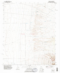
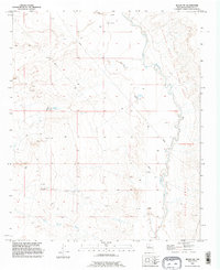
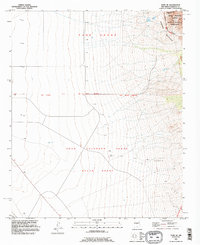
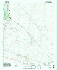
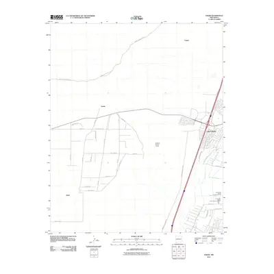
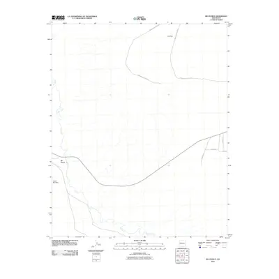
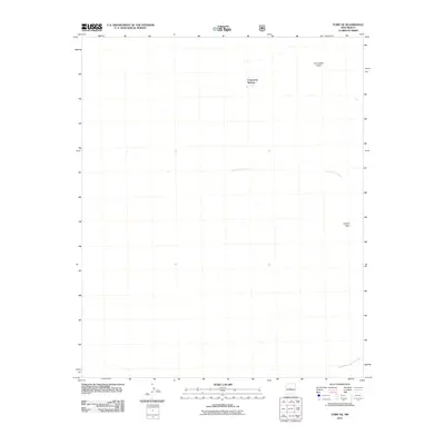
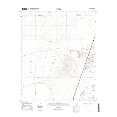
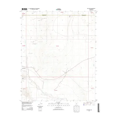
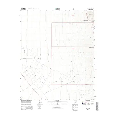
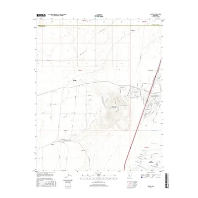
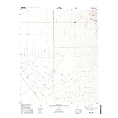
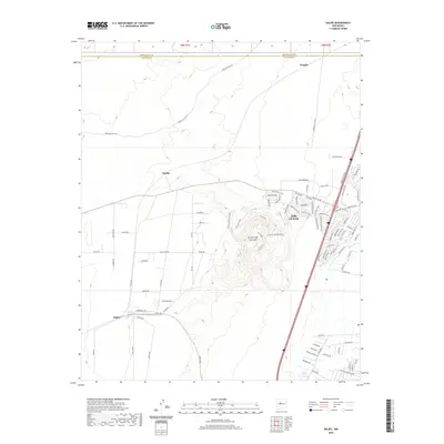
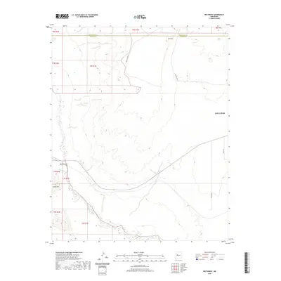
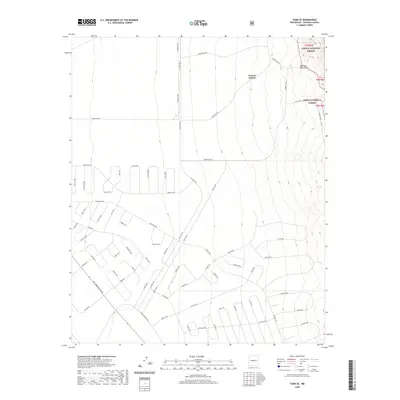
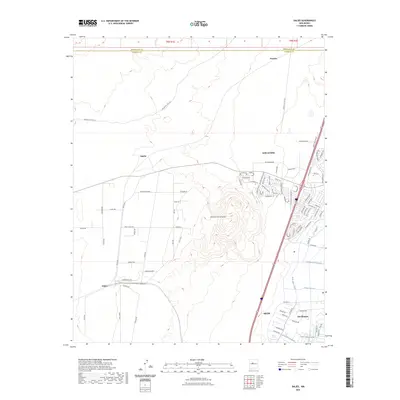
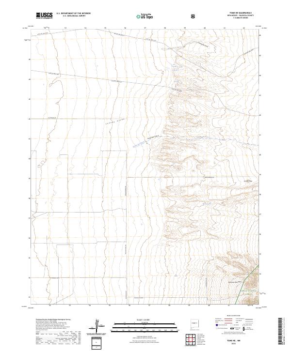
1991 Map of Tome NE
USGS Topo · Published 1996About this map
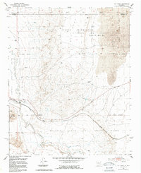
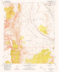
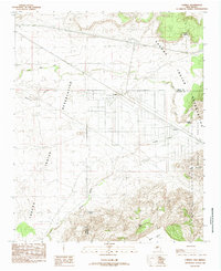
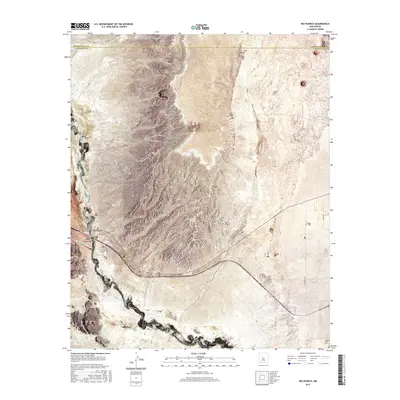
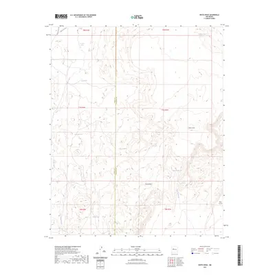
Tome Grant lands dominate this high-desert landscape in Valencia County, showing the complex intersection of historical land claims and modern federal management. The survey captures the western foothills of the Manzano Mountains as they descend toward the Rio Grande valley, featuring a series of named springs or "ojos" that were critical for ranching and survival in this arid environment. Sources of water such as Ojo Alamo, Ojo Huelos, and the isolated Ojo Jedeonilla dot the terrain, marking historical stopovers or livestock watering points.
Find a feature on this map
12 named features on this map. Tap any name to fly to it.
Don’t see what you’re looking for? This feature index may not catch every label — zoom into the map to look around manually.
Map Details
Editions of this 1991 Tome NE Map
This is the sole edition of this map. No revisions or reprints were ever made.
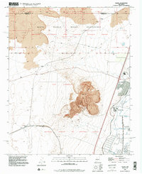
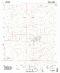
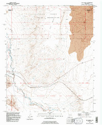
Historical Maps of Valencia County Through Time
82 maps found
1952 Belen NW
Valencia County, NM
1952 Dalies
Valencia County, NM
1952 Los Lunas SE
Valencia County, NM
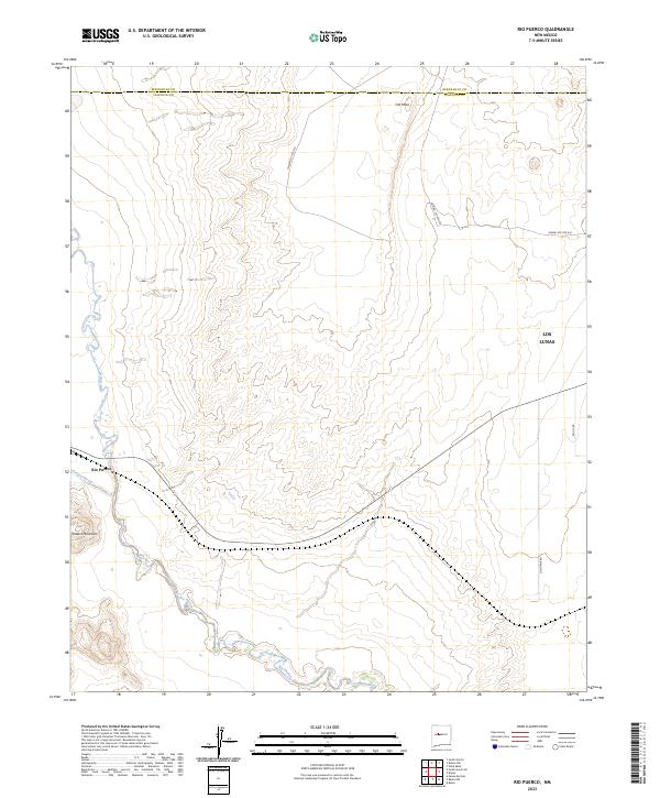
1952 Rio Puerco
Valencia County, NM
1952 Tome NE
Valencia County, NM
1952 Tome SE
Valencia County, NM
1952 Turn
Valencia County, NM
1954 South Garcia SE
Valencia County, NM
1954 South Garcia
Valencia County, NM
1956 Mesa Aparejo
Valencia County, NM
1956 South Garcia
Valencia County, NM
1985 Correo
Valencia County, NM
1985 Mesa Gallina
Valencia County, NM
1985 Mesas Mojinas
Valencia County, NM
1985 White Ridge
Valencia County, NM
1991 Belen NW
Valencia County, NM
1991 Dalies
Valencia County, NM
1991 Los Lunas SE
Valencia County, NM
1991 Rio Puerco
Valencia County, NM
1991 Tome NE
Valencia County, NM
1991 Tome SE
Valencia County, NM
1991 Turn
Valencia County, NM
2010 Belen NW
Valencia County, NM
2010 Correo
Valencia County, NM
2010 Dalies
Valencia County, NM
2010 Los Lunas SE
Valencia County, NM
2010 Mesa Gallina
Valencia County, NM
2010 Mesas Mojinas
Valencia County, NM
2010 Rio Puerco
Valencia County, NM
2010 South Garcia SE
Valencia County, NM
2010 South Garcia
Valencia County, NM
2010 White Ridge
Valencia County, NM
2011 Tome NE
Valencia County, NM
2011 Tome SE
Valencia County, NM
2013 Belen NW
Valencia County, NM
2013 Correo
Valencia County, NM
2013 Dalies
Valencia County, NM
2013 Los Lunas SE
Valencia County, NM
2013 Mesa Gallina
Valencia County, NM
2013 Mesas Mojinas
Valencia County, NM
2013 Rio Puerco
Valencia County, NM
2013 South Garcia SE
Valencia County, NM
2013 South Garcia
Valencia County, NM
2013 Tome NE
Valencia County, NM
2013 Tome SE
Valencia County, NM
2013 White Ridge
Valencia County, NM
2017 Belen NW
Valencia County, NM
2017 Correo
Valencia County, NM
2017 Dalies
Valencia County, NM
2017 Los Lunas SE
Valencia County, NM
2017 Mesa Gallina
Valencia County, NM
2017 Mesas Mojinas
Valencia County, NM
2017 Rio Puerco
Valencia County, NM
2017 South Garcia SE
Valencia County, NM
2017 South Garcia
Valencia County, NM
2017 Tome NE
Valencia County, NM
2017 Tome SE
Valencia County, NM
2017 White Ridge
Valencia County, NM
2020 Belen NW
Valencia County, NM
2020 Correo
Valencia County, NM
2020 Dalies
Valencia County, NM
2020 Los Lunas SE
Valencia County, NM
2020 Mesa Gallina
Valencia County, NM
2020 Mesas Mojinas
Valencia County, NM
2020 Rio Puerco
Valencia County, NM
2020 South Garcia SE
Valencia County, NM
2020 South Garcia
Valencia County, NM
2020 Tome NE
Valencia County, NM
2020 Tome SE
Valencia County, NM
2020 White Ridge
Valencia County, NM
2023 Belen NW
Valencia County, NM
2023 Correo
Valencia County, NM
2023 Dalies
Valencia County, NM
2023 Los Lunas SE
Valencia County, NM
2023 Mesa Gallina
Valencia County, NM
2023 Mesas Mojinas
Valencia County, NM
2023 Rio Puerco
Valencia County, NM
2023 South Garcia SE
Valencia County, NM
2023 South Garcia
Valencia County, NM
2023 Tome NE
Valencia County, NM

2023 Tome SE
Valencia County, NM
2023 White Ridge
Valencia County, NM