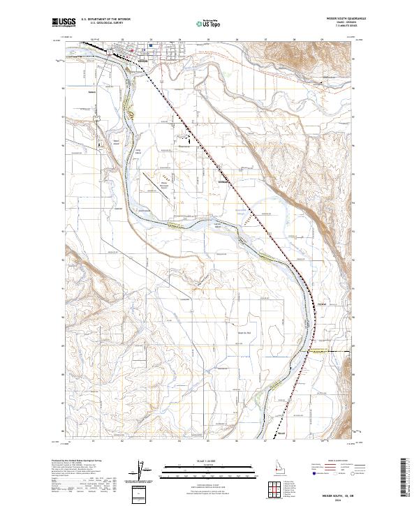
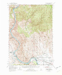
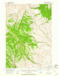
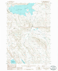
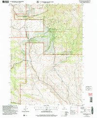
2024 Map of Weiser South
USGS Topo · Published 2024About this map
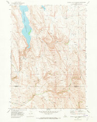
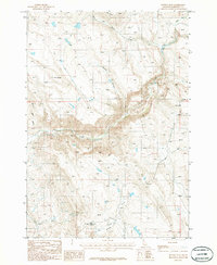
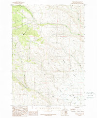
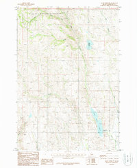
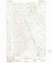
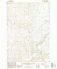
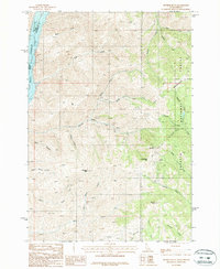
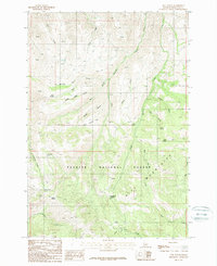
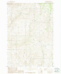
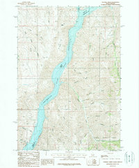
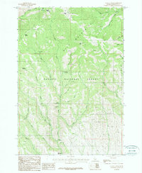
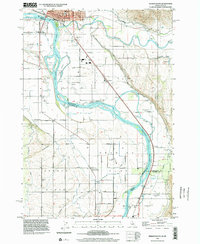
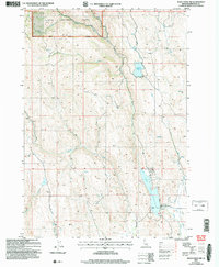
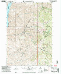
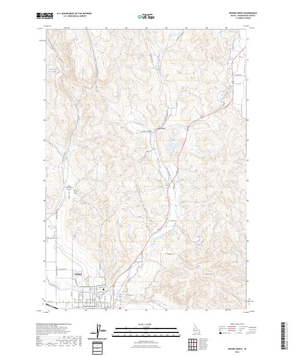
Weiser anchors the northern edge of this map, where the Weiser River meets the Snake River at the state border between Idaho and Oregon. The landscape is defined by an extensive system of water management and fertile bottomlands, evidenced by the Annex Canal, Lower Payette Ditch, and Buttermilk Slough. This network supports the agricultural character of several small communities and historical stops, including Annex, Feltham, Crystal, and Wood.
Find a feature on this map
88 named features on this map. Tap any name to fly to it.
Don’t see what you’re looking for? This feature index may not catch every label — zoom into the map to look around manually.
Map Details
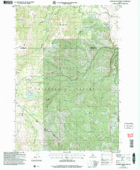
Editions of this 2024 Weiser South Map
This is the sole edition of this map. No revisions or reprints were ever made.
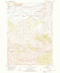
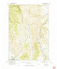
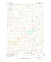
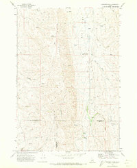
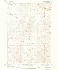
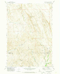
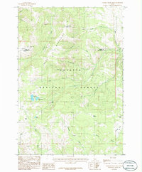
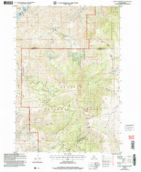
Historical Maps of Annex Through Time
71 maps found
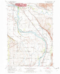
1951 Weiser South
Washington County, ID
1952 Olds Ferry NW
Washington County, ID

1952 Olds Ferry SE
Washington County, ID
1952 Olds Ferry
Washington County, ID
1952 Olds Ferry
Washington County, ID
1952 Weiser Cove
Washington County, ID
1953 Mann Creek
Washington County, ID
1957 Crane Creek Reservoir
Washington County, ID
1957 Sturgill Peak
Washington County, ID
1970 Coonrod Gulch
Washington County, ID
1970 Granger Butte
Washington County, ID
1970 Holland Gulch
Washington County, ID
1970 Paddock Valley Reservoir
Washington County, ID
1970 Riley Butte
Washington County, ID
1974 Mann Creek SW
Washington County, ID
1974 Olds Ferry SE
Washington County, ID
1986 Crane Creek Reservoir
Washington County, ID
1986 Crooked River Point
Washington County, ID
1986 East of Cambridge
Washington County, ID
1986 Hog Creek Butte
Washington County, ID
1986 Nutmeg Flat
Washington County, ID
1986 Rush Peak
Washington County, ID
1987 Advent Gulch
Washington County, ID
1987 Cuddy Mountain
Washington County, ID
1987 Hopper Creek
Washington County, ID
1987 Mann Creek NW
Washington County, ID
1987 Mann Creek SE
Washington County, ID
1987 Midvale Hill
Washington County, ID
1987 Monroe Butte
Washington County, ID
1987 Neil Gulch
Washington County, ID
1987 Olds Ferry NE
Washington County, ID
1987 Sturgill Creek
Washington County, ID
1987 Sturgill Peak
Washington County, ID
1987 Weiser North
Washington County, ID
1998 Weiser Cove
Washington County, ID
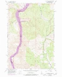
1998 Weiser South
Washington County, ID
2004 Advent Gulch
Washington County, ID
2004 Crooked River Point
Washington County, ID
2004 Cuddy Mountain
Washington County, ID
2004 Hopper Creek
Washington County, ID
2004 Mann Creek NW
Washington County, ID
2004 Monroe Butte
Washington County, ID
2004 Rush Peak
Washington County, ID
2004 Sturgill Peak
Washington County, ID
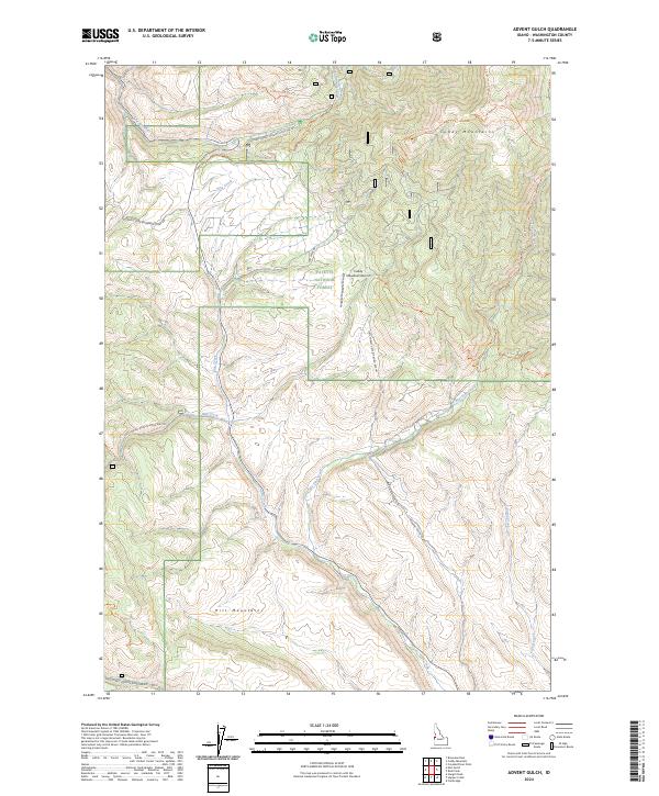
2024 Advent Gulch
Washington County, ID

2024 Coonrod Gulch
Washington County, ID
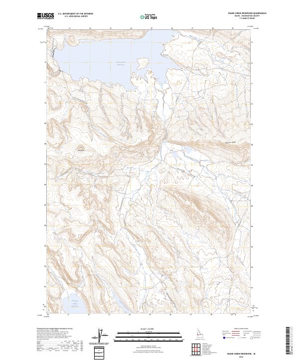
2024 Crane Creek Reservoir
Washington County, ID
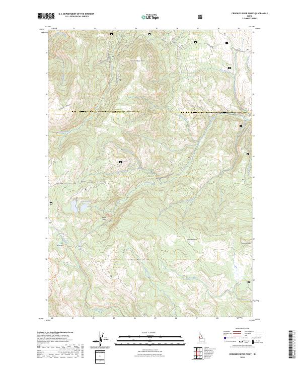
2024 Crooked River Point
Washington County, ID
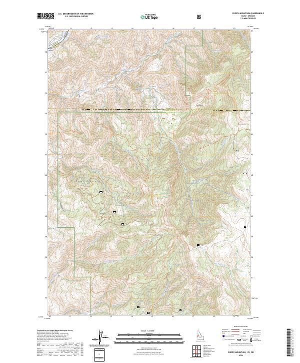
2024 Cuddy Mountain
Washington County, ID
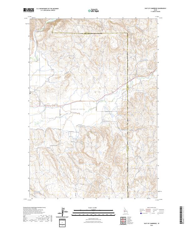
2024 East of Cambridge
Washington County, ID
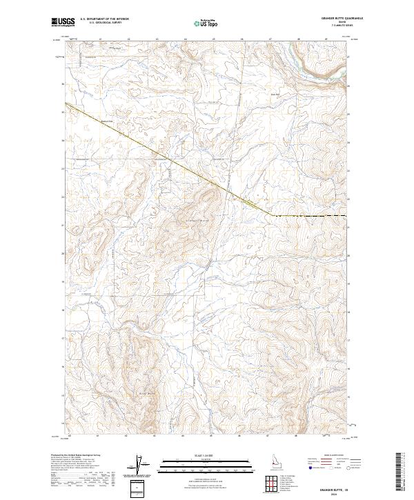
2024 Granger Butte
Washington County, ID
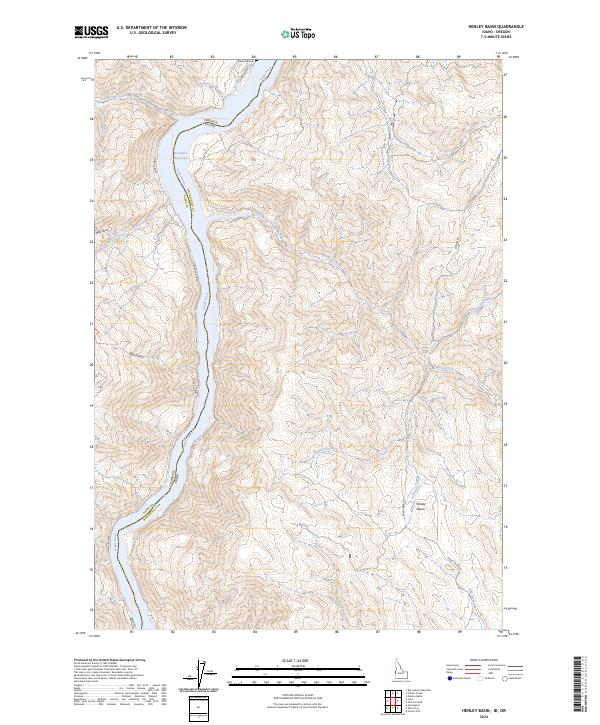
2024 Henley Basin
Washington County, ID
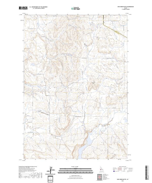
2024 Hog Creek Butte
Washington County, ID
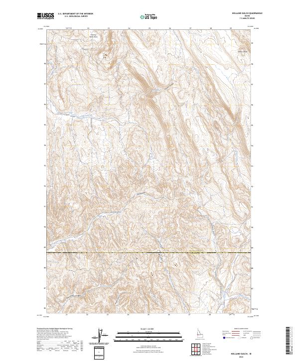
2024 Holland Gulch
Washington County, ID
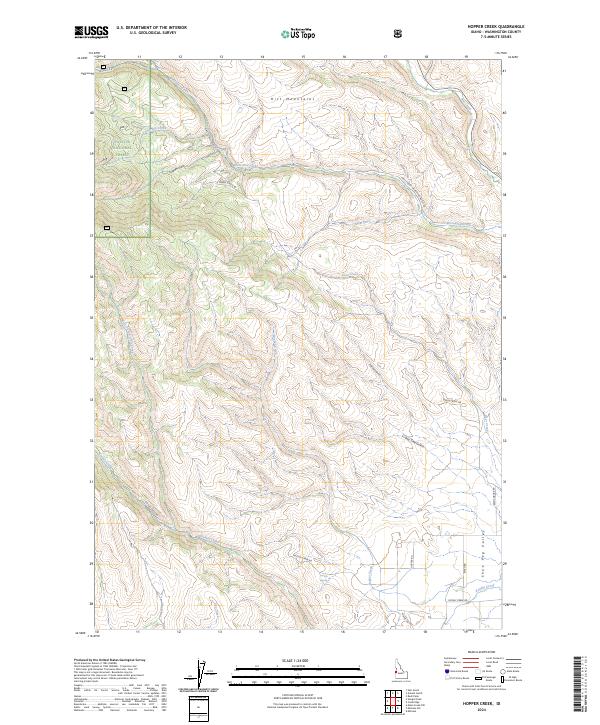
2024 Hopper Creek
Washington County, ID
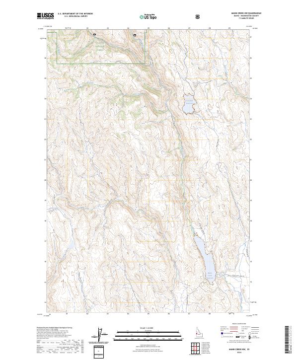
2024 Mann Creek NW
Washington County, ID
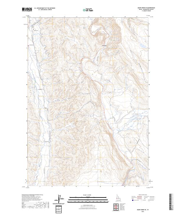
2024 Mann Creek SE
Washington County, ID
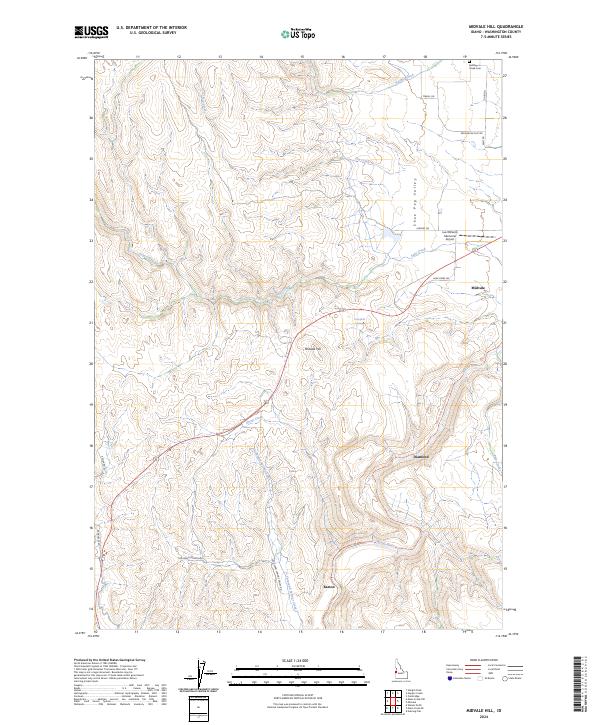
2024 Midvale Hill
Washington County, ID
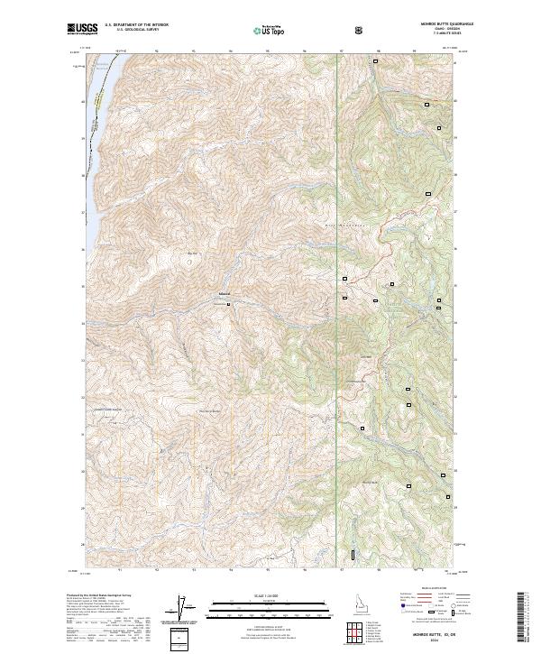
2024 Monroe Butte
Washington County, ID
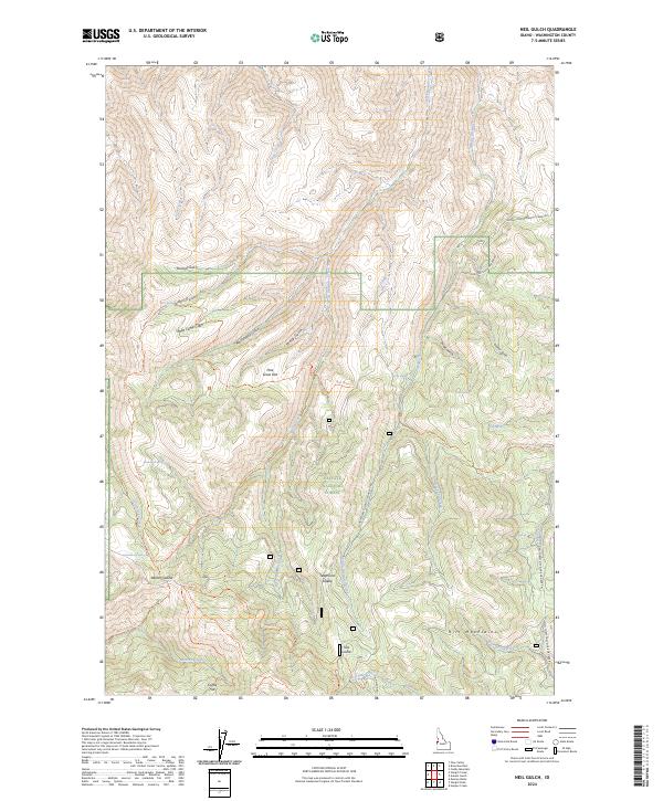
2024 Neil Gulch
Washington County, ID
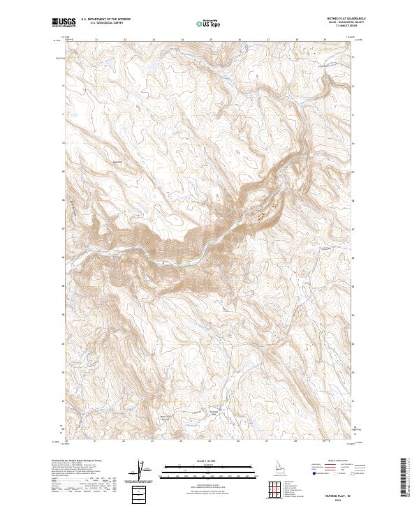
2024 Nutmeg Flat
Washington County, ID
2024 Olds Ferry NE
Washington County, ID
2024 Olds Ferry
Washington County, ID
2024 Paddock Valley Reservoir
Washington County, ID
2024 Riley Butte
Washington County, ID
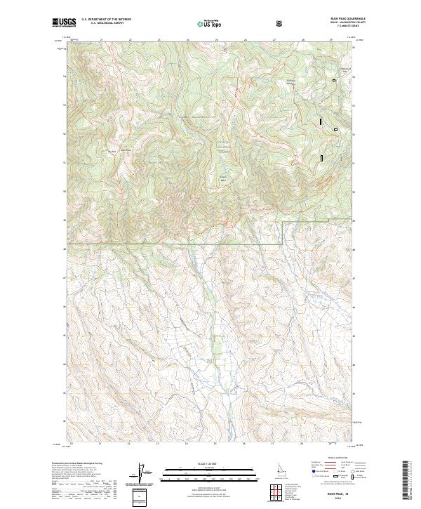
2024 Rush Peak
Washington County, ID
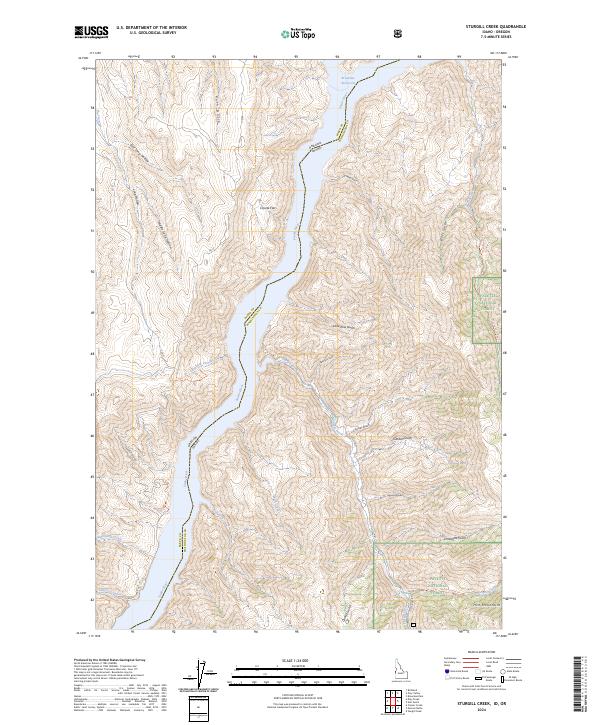
2024 Sturgill Creek
Washington County, ID
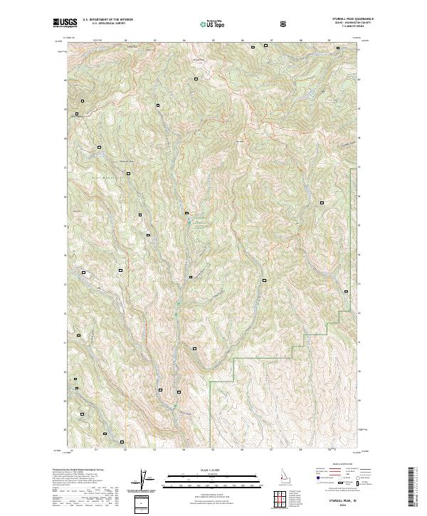
2024 Sturgill Peak
Washington County, ID
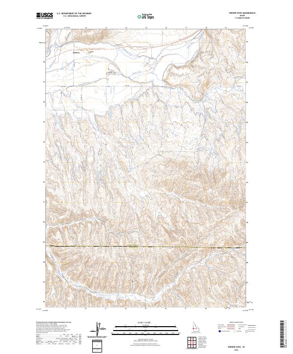
2024 Weiser Cove
Washington County, ID
2024 Weiser North
Washington County, ID
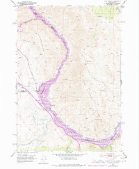
2024 Weiser South
Washington County, ID