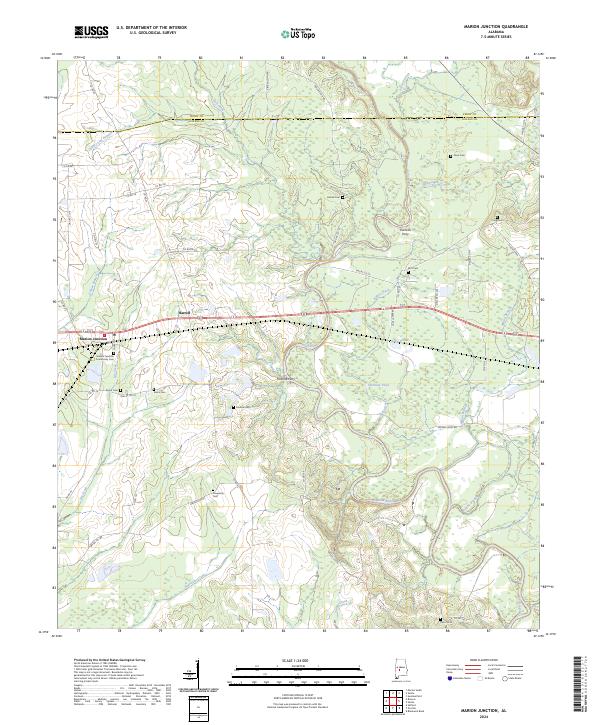
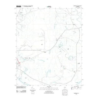
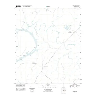
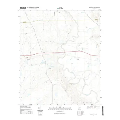
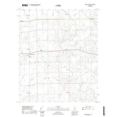
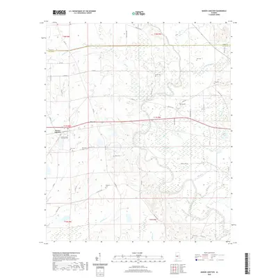
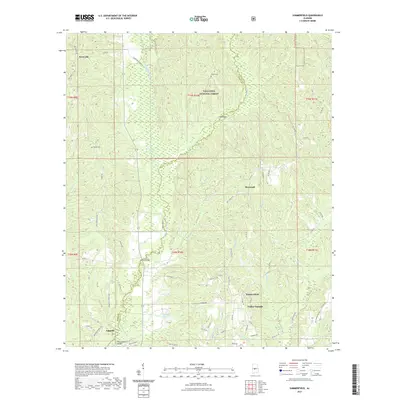
2024 Map of Marion Junction
USGS Topo · Published 2024About this map
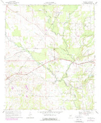
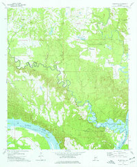
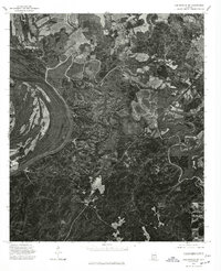
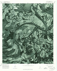
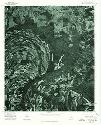
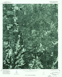
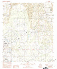
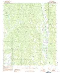
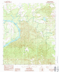
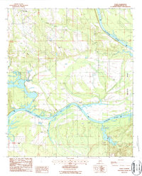
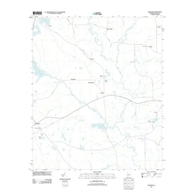
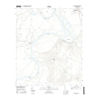
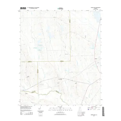
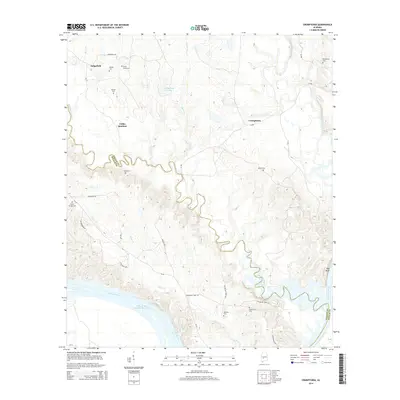
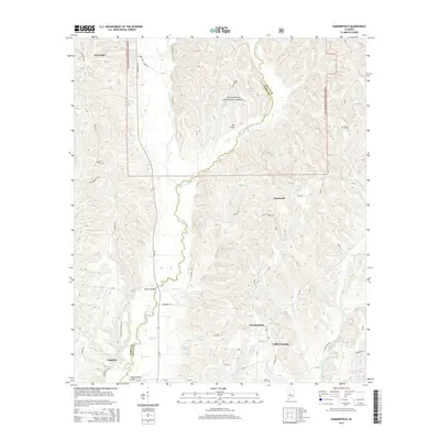
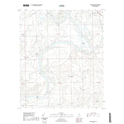
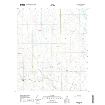
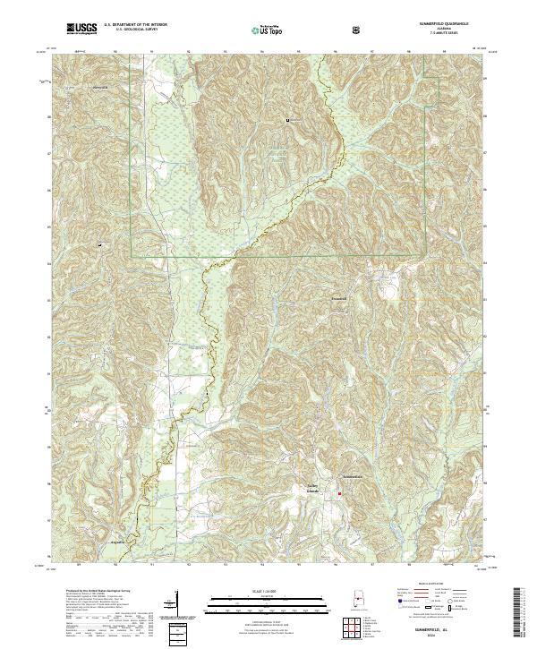
The Cahaba River winds through this rural Alabama landscape, defining the character of the borderlands between Dallas and Perry counties. The small hub at Marion Junction serves as the primary settlement, historically significant as a railroad meeting point, where the Marion Junction Community Cem preserves the local lineage. Moving east along the highway, the community of Harrell sits near the river's bend, while the surrounding wetlands and bottomlands are drained by Oakmulgee Creek and Baker Creek.
Find a feature on this map
58 named features on this map. Tap any name to fly to it.
Don’t see what you’re looking for? This feature index may not catch every label — zoom into the map to look around manually.
Map Details
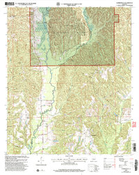
Editions of this 2024 Marion Junction Map
This is the sole edition of this map. No revisions or reprints were ever made.
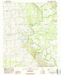
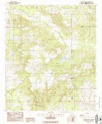
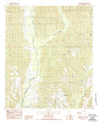
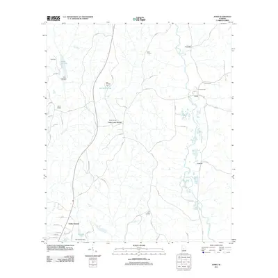
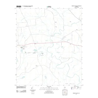
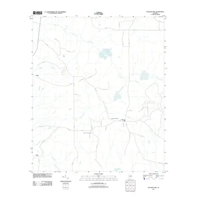
Historical Maps of Pernell Through Time
95 maps found
1957 Carlowville
Dallas County, AL
1968 Browns
Dallas County, AL
1968 Central Mills
Dallas County, AL
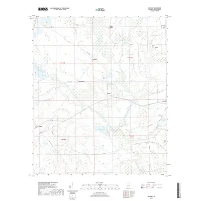
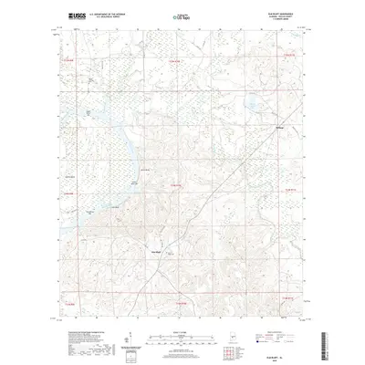
1968 Safford
Dallas County, AL
1974 Crumptonia
Dallas County, AL
1975 Benton NW
Dallas County, AL
1975 Benton SW
Dallas County, AL
1975 Carlowville NE
Dallas County, AL
1975 Carlowville NW
Dallas County, AL
1975 Plantersville SW
Dallas County, AL
1975 Selma NW
Dallas County, AL
1975 Selma SE
Dallas County, AL
1975 Selma SW
Dallas County, AL
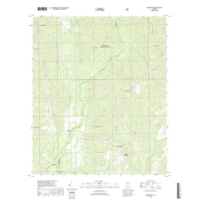
1975 Summerfield SE
Dallas County, AL
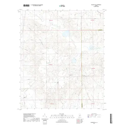
1982 Burnsville
Dallas County, AL
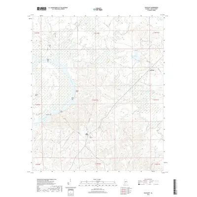
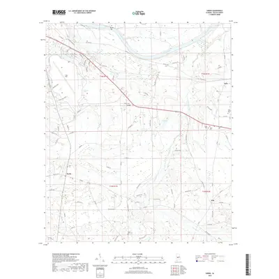
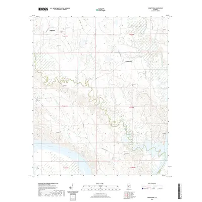
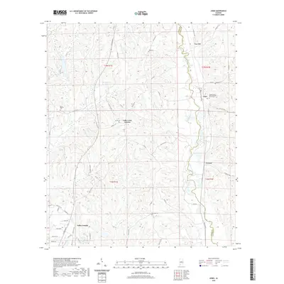
1982 Jones
Dallas County, AL
1982 Sardis
Dallas County, AL
1987 Blackwell Bend
Dallas County, AL
1987 Carlowville
Dallas County, AL
1987 Elm Bluff
Dallas County, AL
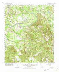
1987 Marion Junction
Dallas County, AL
1987 Pleasant Hill
Dallas County, AL
1987 Summerfield
Dallas County, AL
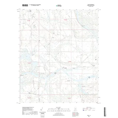
1987 Tasso
Dallas County, AL
2002 Summerfield
Dallas County, AL
2011 Blackwell Bend
Dallas County, AL
2011 Browns
Dallas County, AL
2011 Burnsville
Dallas County, AL
2011 Carlowville
Dallas County, AL
2011 Central Mills
Dallas County, AL
2011 Crumptonia
Dallas County, AL
2011 Elm Bluff
Dallas County, AL
2011 Jones
Dallas County, AL
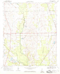
2011 Marion Junction
Dallas County, AL
2011 Pleasant Hill
Dallas County, AL
2011 Safford
Dallas County, AL
2011 Sardis
Dallas County, AL
2011 Summerfield
Dallas County, AL
2011 Tasso
Dallas County, AL
2014 Blackwell Bend
Dallas County, AL
2014 Browns
Dallas County, AL
2014 Burnsville
Dallas County, AL
2014 Carlowville
Dallas County, AL
2014 Central Mills
Dallas County, AL
2014 Crumptonia
Dallas County, AL
2014 Elm Bluff
Dallas County, AL
2014 Jones
Dallas County, AL
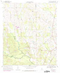
2014 Marion Junction
Dallas County, AL
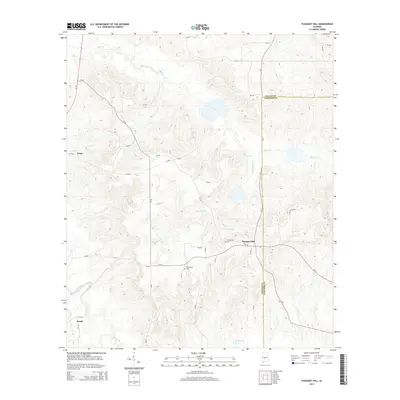
2014 Pleasant Hill
Dallas County, AL
2014 Safford
Dallas County, AL
2014 Sardis
Dallas County, AL
2014 Summerfield
Dallas County, AL
2014 Tasso
Dallas County, AL
2018 Blackwell Bend
Dallas County, AL
2018 Browns
Dallas County, AL
2018 Burnsville
Dallas County, AL
2018 Carlowville
Dallas County, AL
2018 Central Mills
Dallas County, AL
2018 Crumptonia
Dallas County, AL
2018 Elm Bluff
Dallas County, AL
2018 Jones
Dallas County, AL
2018 Marion Junction
Dallas County, AL
2018 Pleasant Hill
Dallas County, AL
2018 Safford
Dallas County, AL
2018 Sardis
Dallas County, AL
2018 Summerfield
Dallas County, AL
2018 Tasso
Dallas County, AL
2020 Blackwell Bend
Dallas County, AL
2020 Browns
Dallas County, AL
2020 Burnsville
Dallas County, AL
2020 Carlowville
Dallas County, AL
2020 Central Mills
Dallas County, AL
2020 Crumptonia
Dallas County, AL
2020 Elm Bluff
Dallas County, AL
2020 Jones
Dallas County, AL
2020 Marion Junction
Dallas County, AL
2020 Pleasant Hill
Dallas County, AL
2020 Safford
Dallas County, AL
2020 Sardis
Dallas County, AL

2020 Tasso
Dallas County, AL
2021 Summerfield
Dallas County, AL
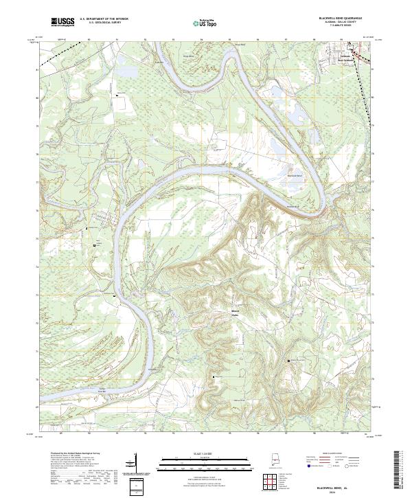
2024 Blackwell Bend
Dallas County, AL
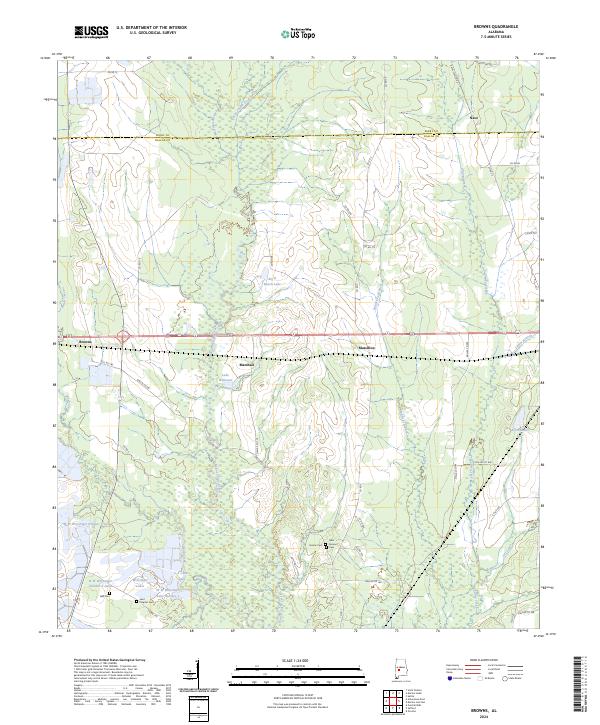
2024 Browns
Dallas County, AL
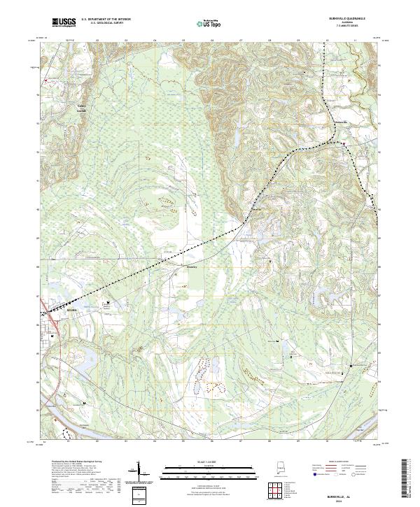
2024 Burnsville
Dallas County, AL
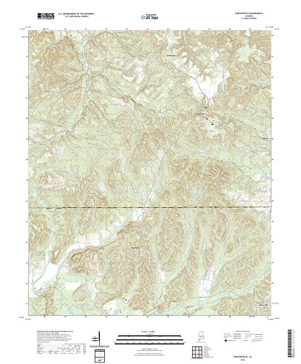
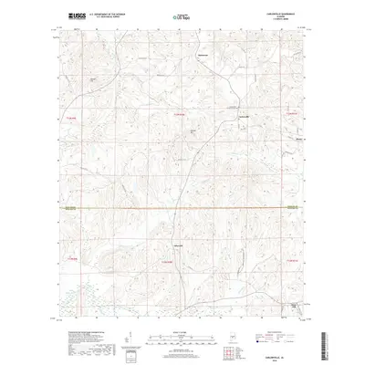
2024 Carlowville
Dallas County, AL
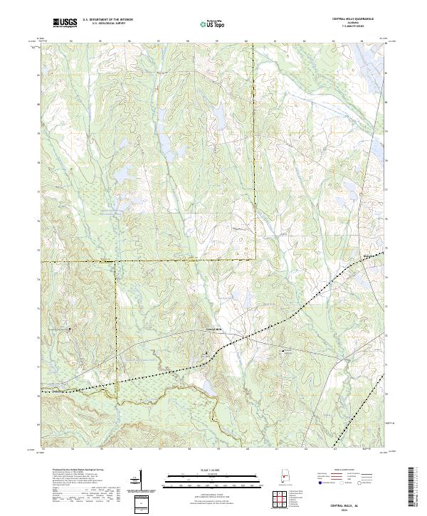
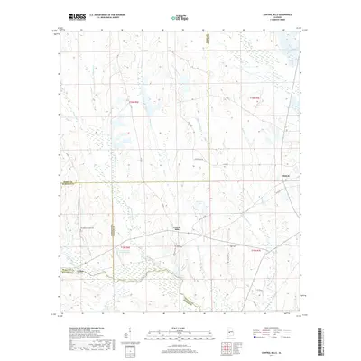
2024 Central Mills
Dallas County, AL
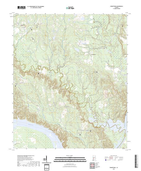
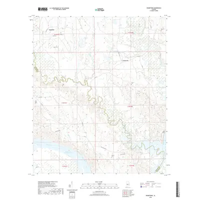
2024 Crumptonia
Dallas County, AL
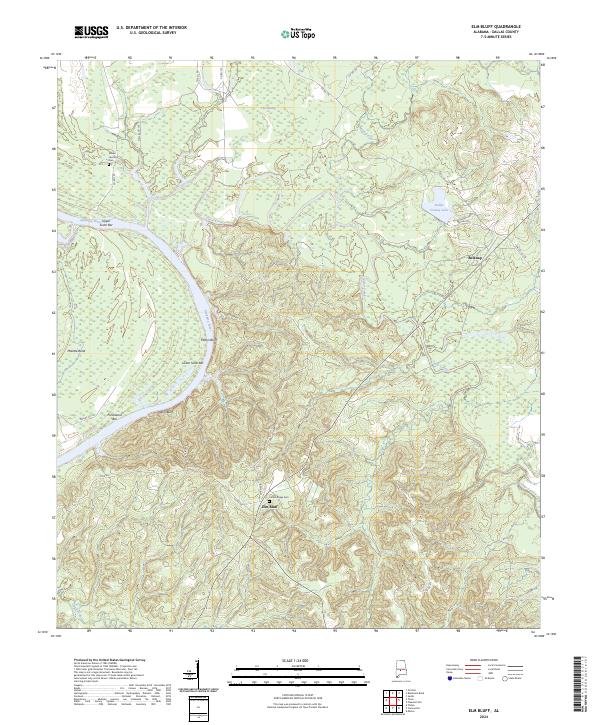
2024 Elm Bluff
Dallas County, AL
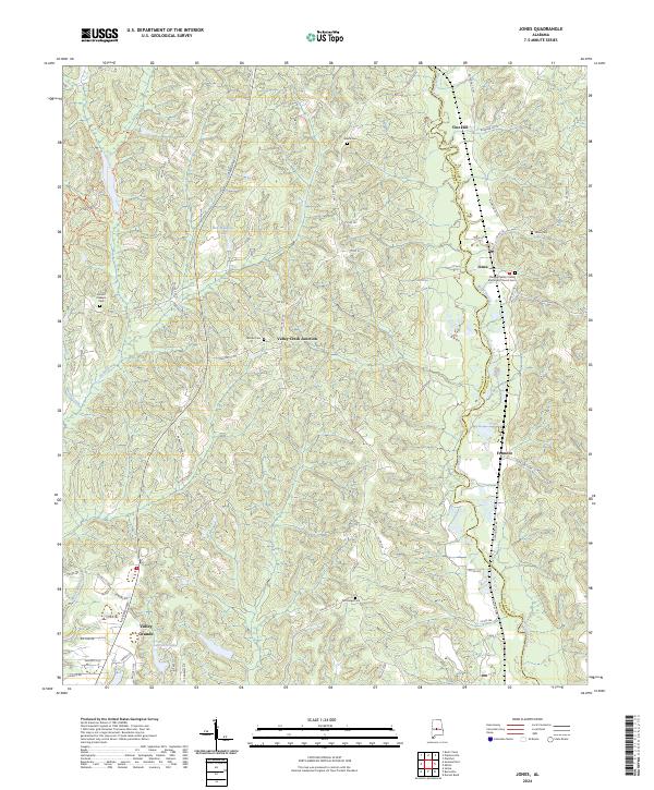
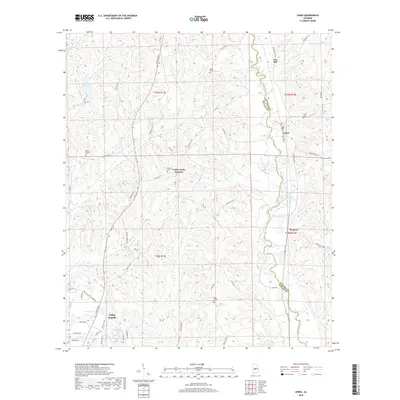
2024 Jones
Dallas County, AL
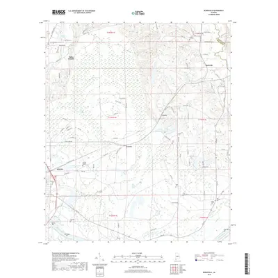
2024 Marion Junction
Dallas County, AL
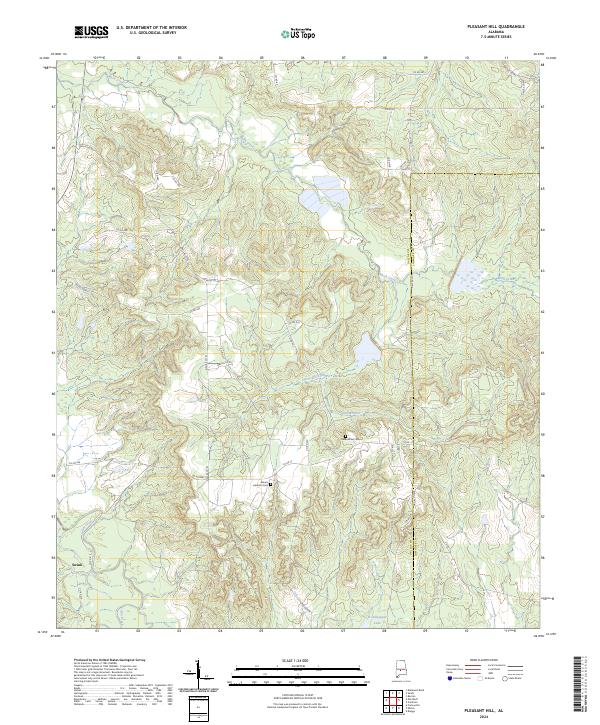
2024 Pleasant Hill
Dallas County, AL
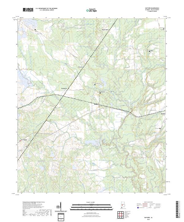
2024 Safford
Dallas County, AL
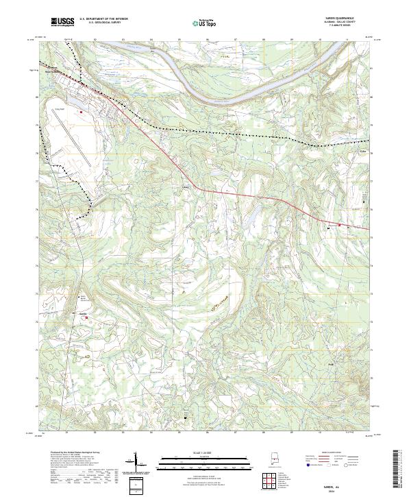
2024 Sardis
Dallas County, AL
2024 Summerfield
Dallas County, AL
2024 Tasso
Dallas County, AL