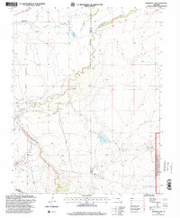
1996 Map of Snowden Lake
USGS Topo · Published 2000About this map
The Apishapa River carves a winding path through this corner of Southern Colorado, where the high plains transition into the managed lands of the Comanche National Grassland. Based on topography compiled in 1969 with revisions in the late 1990s, the landscape is defined by its water management and agricultural infrastructure. Numerous arroyos, including Saunders Arroyo and Twomile Arroyo, drain toward the river, while an Old Channel and an extensive Levee system highlight efforts to control the seasonal flow of water in this arid environment.
Find a feature on this map
18 named features on this map. Tap any name to fly to it.
Don’t see what you’re looking for? This feature index may not catch every label — zoom into the map to look around manually.
Map Details
Editions of this 1996 Snowden Lake Map
This is the sole edition of this map. No revisions or reprints were ever made.
Other maps of this area

1891 · Timpas
USGS Topo · 1:125,000

1891 · Apishapa
USGS Topo · 1:125,000

1893 · Apishapa
USGS Topo · 1:125,000

1894 · Timpas
USGS Topo · 1:125,000

1897 · Apishapa
USGS Topo · 1:125,000

1954 · Trinidad
USGS Topo · 1:250,000

1955 · La Junta
USGS Topo · 1:250,000

1955 · Trinidad
USGS Topo · 1:250,000

1958 · La Junta
USGS Topo · 1:250,000

1958 · Trinidad
USGS Topo · 1:250,000