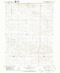
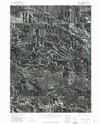
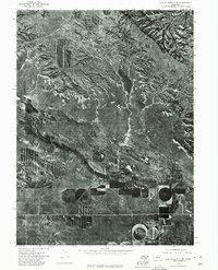
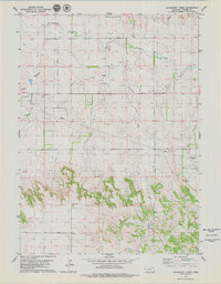
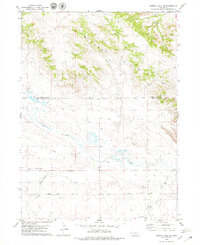
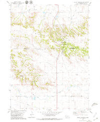
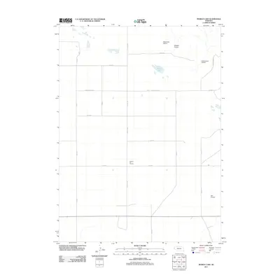
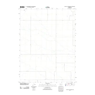
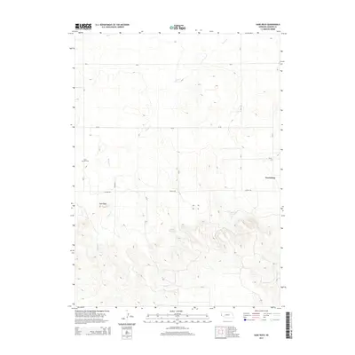
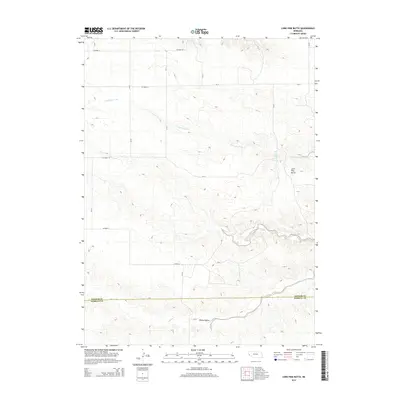
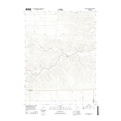
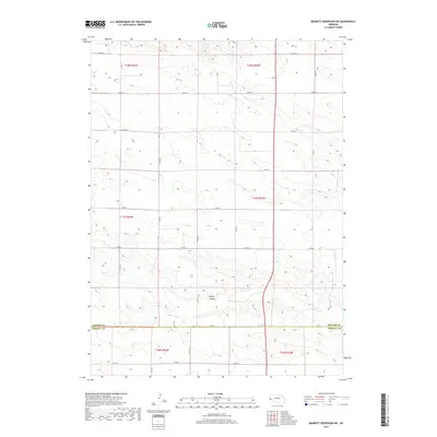
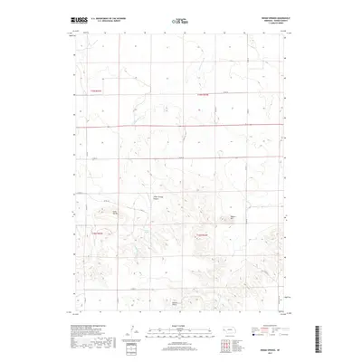
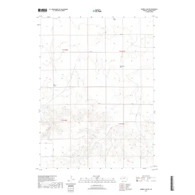
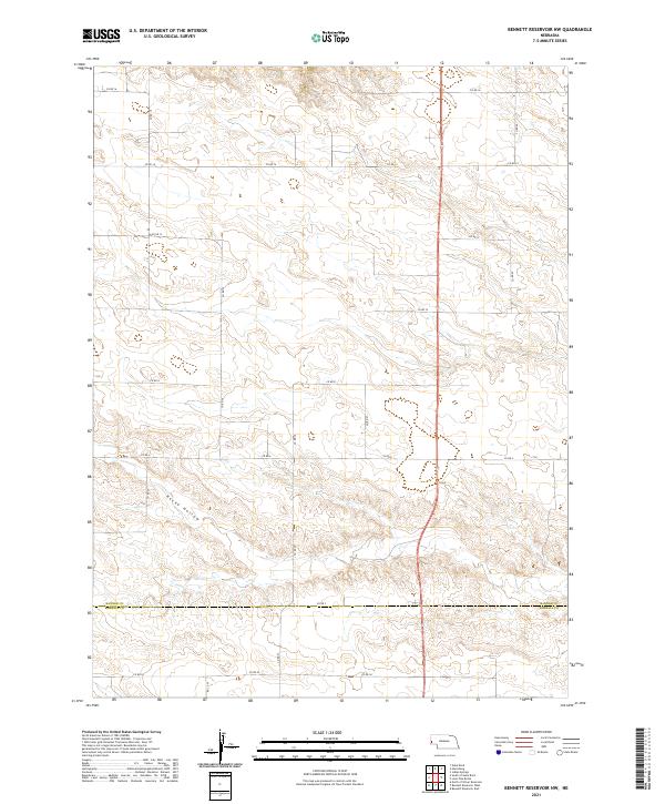
1979 Map of Bennett Reservoir NW
USGS Topo · Published 1979About this map
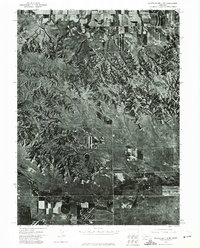
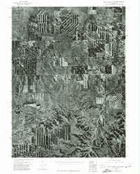
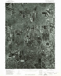
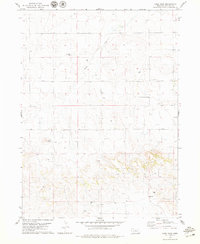
Oil Field operations and cattle country dominate the high plains landscape of the Nebraska panhandle during the late 1970s. This survey of the Banner and Kimball County border reveals a region defined by agricultural field lines and the infrastructure of the energy industry, with numerous Oil Wells and a Gravel Pit interspersed among the section lines. The topography is marked by the winding course of Rocky Hollow, which cuts through the high tableland.
Find a feature on this map
10 named features on this map. Tap any name to fly to it.
Don’t see what you’re looking for? This feature index may not catch every label — zoom into the map to look around manually.
Map Details
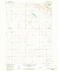
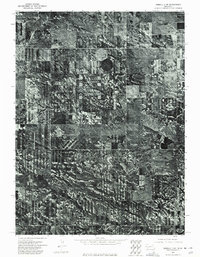
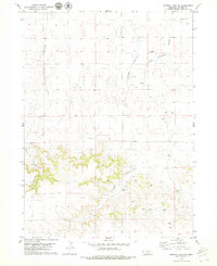
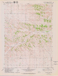
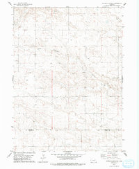
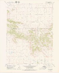
Editions of this 1979 Bennett Reservoir NW Map
This is the sole edition of this map. No revisions or reprints were ever made.
Historical Maps of Kimball County Through Time
78 maps found
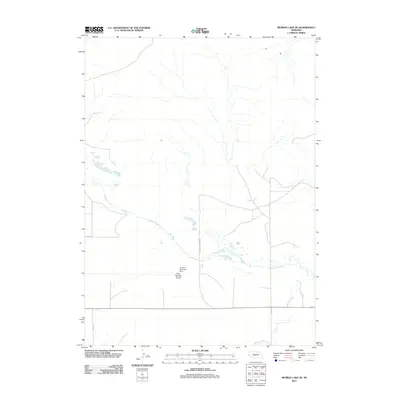
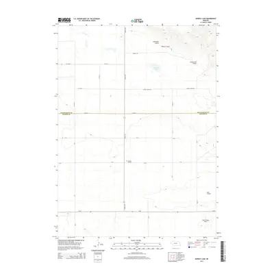
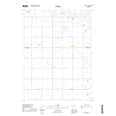
1960 Murray Lake
Banner County, NE
1973 Camp Clarke 3 SW
Banner County, NE
1973 Kimball 1 NE
Banner County, NE
1973 Kimball 1 NW
Banner County, NE
1973 Kimball 2 NE
Banner County, NE
1973 Kimball 2 NW
Banner County, NE
1973 Potter 2 NW
Banner County, NE
1973 Scotts Bluff 3 NE
Banner County, NE
1973 Scotts Bluff 3 SE
Banner County, NE
1973 Scotts Bluff 3 SW
Banner County, NE
1973 Scotts Bluff 4 NE
Banner County, NE
1973 Scotts Bluff 4 NW
Banner County, NE
1973 Scotts Bluff 4 SE
Banner County, NE
1973 Scotts Bluff 4 SW
Banner County, NE
1979 Bennett Reservoir NW
Banner County, NE
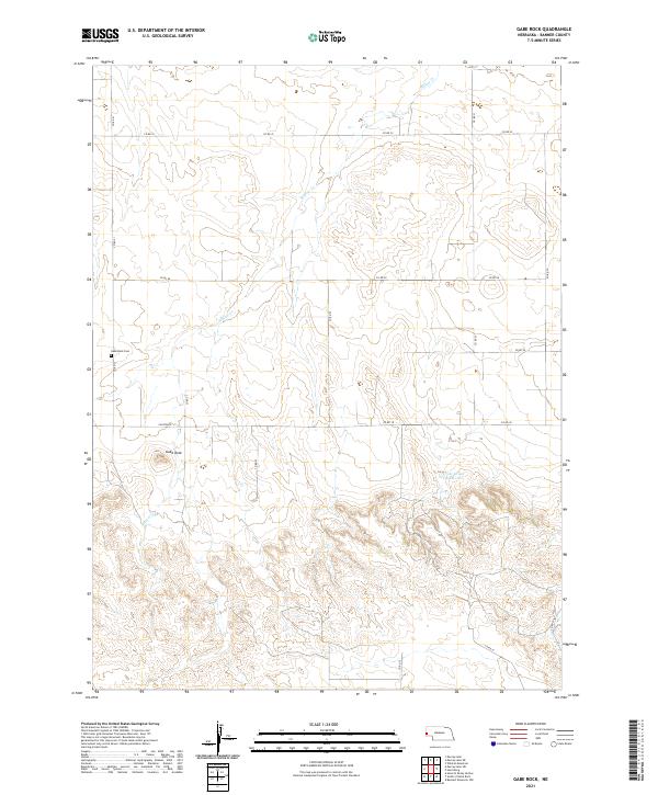
1979 Gabe Rock
Banner County, NE
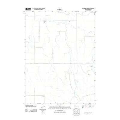
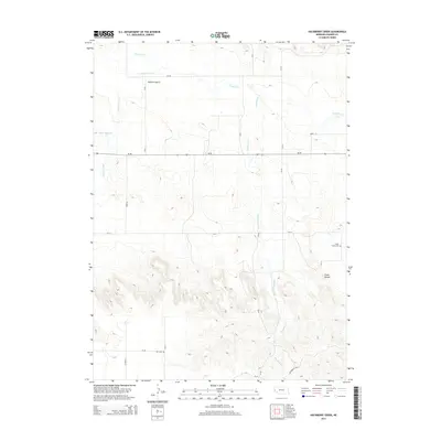
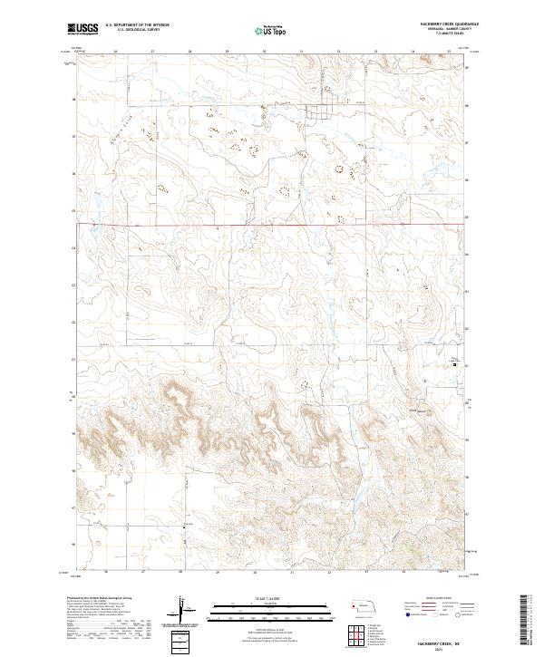
1979 Hackberry Creek
Banner County, NE
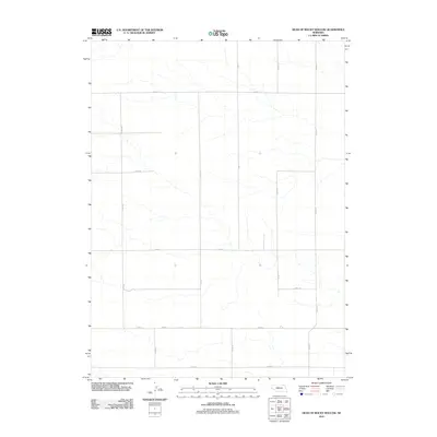
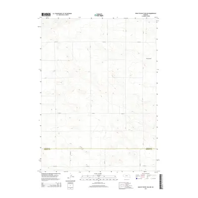
1979 Head Of Rocky Hollow
Banner County, NE
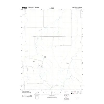
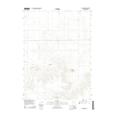
1979 Indian Springs
Banner County, NE
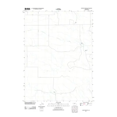
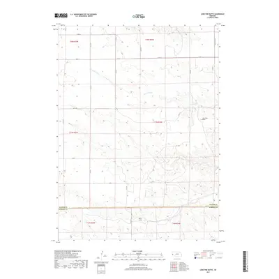
1979 Lone Pine Butte
Banner County, NE
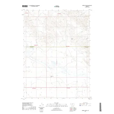
1979 Murray Lake NE
Banner County, NE
1979 Murray Lake SW
Banner County, NE
1979 Singleton Ranch
Banner County, NE
1979 South Of Gabe Rock
Banner County, NE
1979 Wildcat Mountain
Banner County, NE
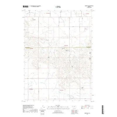
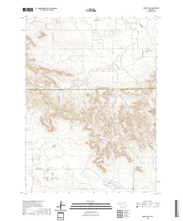
1979 Wright Gap
Banner County, NE
2011 Bennett Reservoir NW
Banner County, NE
2011 Gabe Rock
Banner County, NE
2011 Hackberry Creek
Banner County, NE
2011 Head of Rocky Hollow
Banner County, NE
2011 Indian Springs
Banner County, NE
2011 Lone Pine Butte
Banner County, NE
2011 Murray Lake
Banner County, NE
2011 Murray Lake NE
Banner County, NE
2011 Murray Lake SW
Banner County, NE
2011 Singleton Ranch
Banner County, NE
2011 South of Gabe Rock
Banner County, NE
2011 Wildcat Mountain
Banner County, NE
2011 Wright Gap
Banner County, NE
2014 Bennett Reservoir NW
Banner County, NE
2014 Gabe Rock
Banner County, NE
2014 Hackberry Creek
Banner County, NE
2014 Head of Rocky Hollow
Banner County, NE
2014 Indian Springs
Banner County, NE
2014 Lone Pine Butte
Banner County, NE
2014 Murray Lake
Banner County, NE
2014 Murray Lake NE
Banner County, NE
2014 Murray Lake SW
Banner County, NE
2014 Singleton Ranch
Banner County, NE
2014 South of Gabe Rock
Banner County, NE
2014 Wildcat Mountain
Banner County, NE
2014 Wright Gap
Banner County, NE
2017 Bennett Reservoir NW
Banner County, NE
2017 Gabe Rock
Banner County, NE
2017 Hackberry Creek
Banner County, NE
2017 Head of Rocky Hollow
Banner County, NE
2017 Indian Springs
Banner County, NE
2017 Lone Pine Butte
Banner County, NE
2017 Murray Lake
Banner County, NE
2017 Murray Lake NE
Banner County, NE
2017 Murray Lake SW
Banner County, NE
2017 Singleton Ranch
Banner County, NE
2017 South of Gabe Rock
Banner County, NE
2017 Wildcat Mountain
Banner County, NE
2017 Wright Gap
Banner County, NE
2021 Bennett Reservoir NW
Banner County, NE
2021 Gabe Rock
Banner County, NE
2021 Hackberry Creek
Banner County, NE
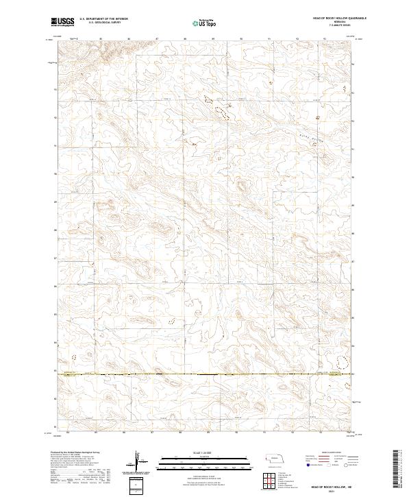
2021 Head of Rocky Hollow
Banner County, NE
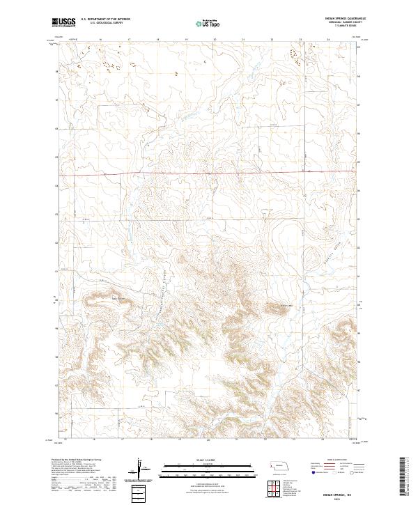
2021 Indian Springs
Banner County, NE

2021 Lone Pine Butte
Banner County, NE
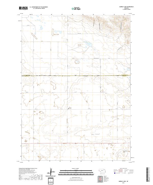
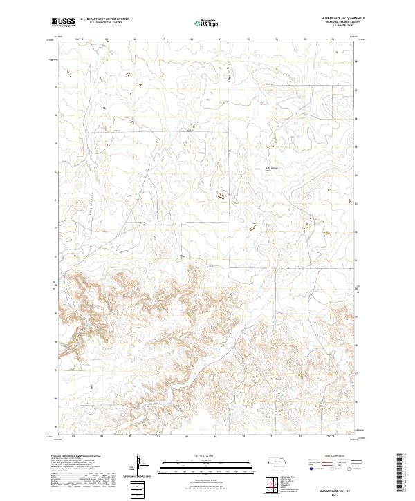
2021 Murray Lake
Banner County, NE
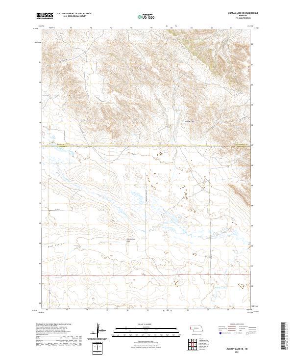
2021 Murray Lake NE
Banner County, NE
2021 Murray Lake SW
Banner County, NE
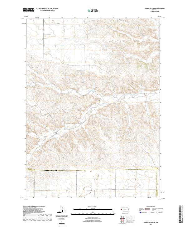
2021 Singleton Ranch
Banner County, NE
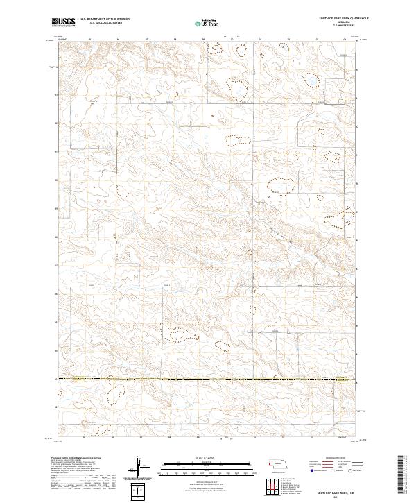
2021 South of Gabe Rock
Banner County, NE
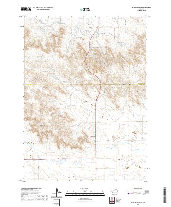
2021 Wildcat Mountain
Banner County, NE
2021 Wright Gap
Banner County, NE