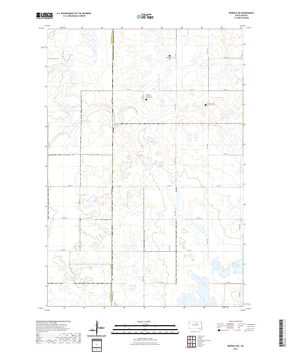
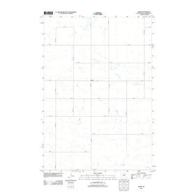
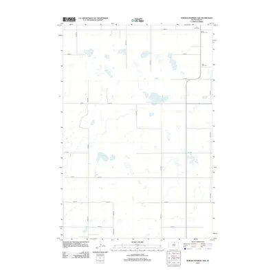
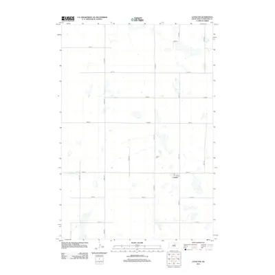
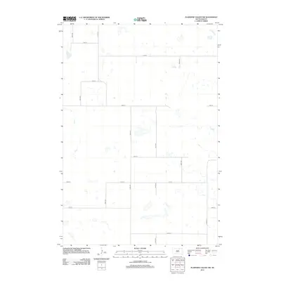
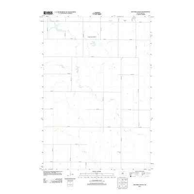
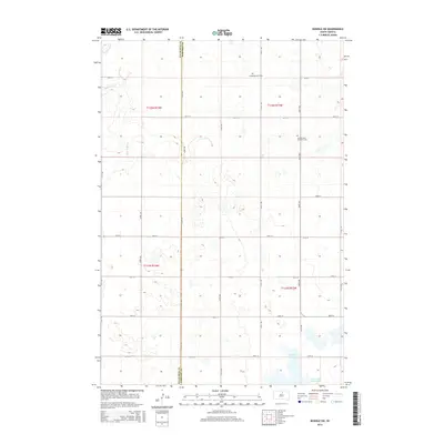
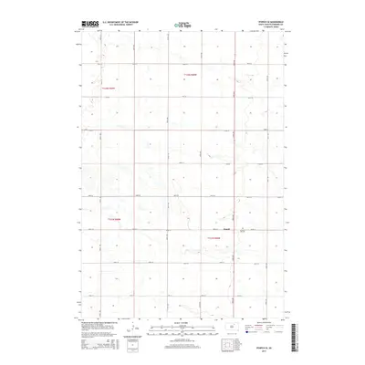
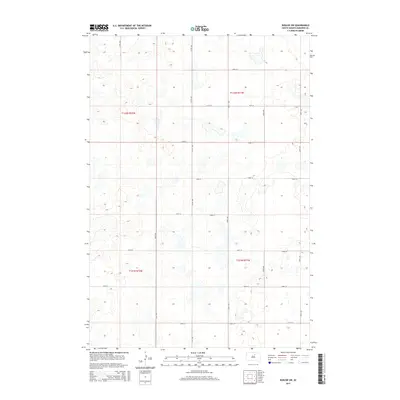
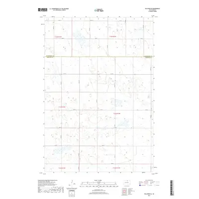
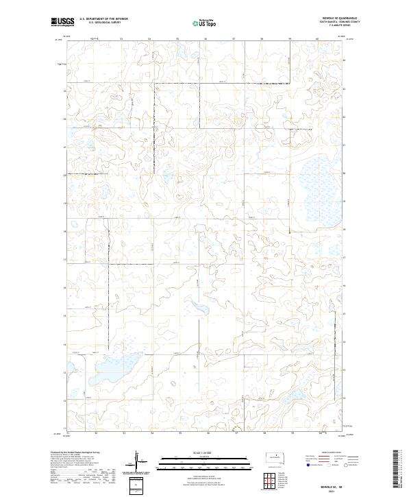
2021 Map of Bowdle SW
USGS Topo · Published 2021About this map
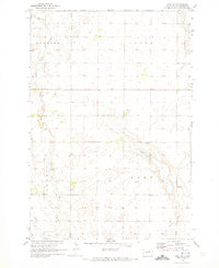
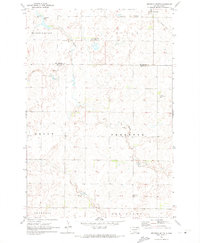
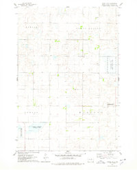
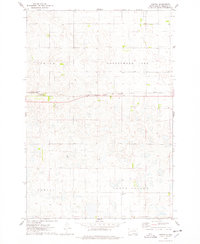
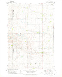
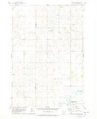
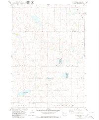
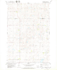
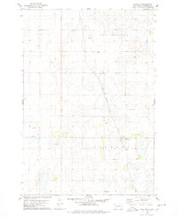
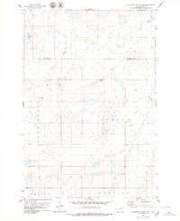
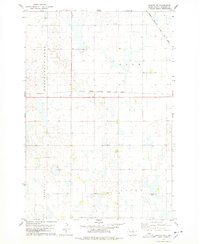
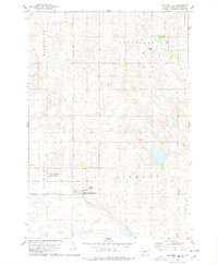
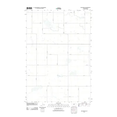
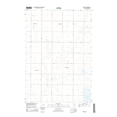
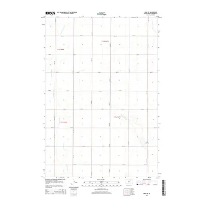
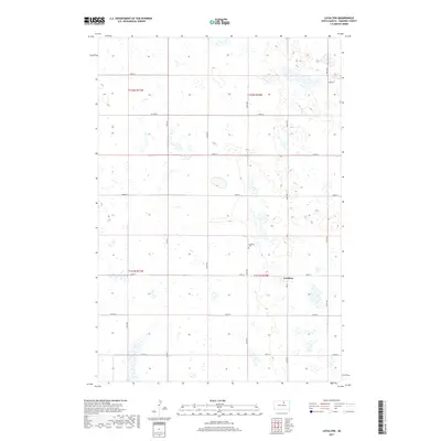
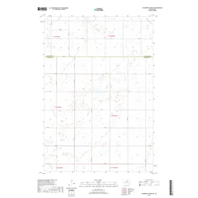
Swan Lake Cr meanders across this rural expanse of the South Dakota prairie, marking a landscape defined by its wetland basins and section-line roads. Located along the border of Walworth and Edmunds Counties, the area is characterized by scattered alkaline depressions including the prominent Alkali Lake. While no major town centers appear on this specific quadrangle, the cultural footprint is preserved through several denominational burial grounds. Genealogists can identify the United Methodist Church Cem, the Congregational Cem, and the Seventh - Day Adventist Cem, which serve as physical anchors for the farming families who settled these townships. The map documents a meticulously surveyed grid of local routes such as Co Rd 1A and 147th St, reflecting the persistent agricultural geometry of the Great Plains.
Find a feature on this map
31 named features on this map. Tap any name to fly to it.
Don’t see what you’re looking for? This feature index may not catch every label — zoom into the map to look around manually.
Map Details
Editions of this 2021 Bowdle SW Map
This is the sole edition of this map. No revisions or reprints were ever made.
Historical Maps of Edmunds County Through Time
90 maps found
1970 Leola SW
Edmunds County, SD
1970 Mina NW
Edmunds County, SD
1970 Mina SE
Edmunds County, SD
1970 Mina SW
Edmunds County, SD
1970 Wetonka South
Edmunds County, SD
1974 Bowdle SE
Edmunds County, SD
1974 Gretna
Edmunds County, SD
1974 Ipswich SE
Edmunds County, SD
1974 Roscoe SW
Edmunds County, SD
1978 Beebe
Edmunds County, SD
1978 Bowdle-Hosmer Lake
Edmunds County, SD
1978 Bowdle SW
Edmunds County, SD
1978 Hillsview SE
Edmunds County, SD
1978 Hosmer SE
Edmunds County, SD
1978 Loyalton
Edmunds County, SD
1978 Plainview Colony SW
Edmunds County, SD
1978 Roscoe NW
Edmunds County, SD
1978 Stafford Dam
Edmunds County, SD
2012 Beebe
Edmunds County, SD
2012 Bowdle-Hosmer Lake
Edmunds County, SD
2012 Bowdle SE
Edmunds County, SD
2012 Bowdle SW
Edmunds County, SD
2012 Gretna
Edmunds County, SD
2012 Hillsview SE
Edmunds County, SD
2012 Hosmer SE
Edmunds County, SD
2012 Ipswich SE
Edmunds County, SD
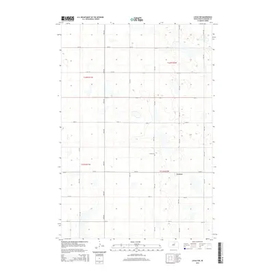
2012 Leola SW
Edmunds County, SD
2012 Loyalton
Edmunds County, SD
2012 Mina NW
Edmunds County, SD
2012 Mina SE
Edmunds County, SD
2012 Mina SW
Edmunds County, SD
2012 Plainview Colony SW
Edmunds County, SD
2012 Roscoe NW
Edmunds County, SD
2012 Roscoe SW
Edmunds County, SD
2012 Stafford Dam
Edmunds County, SD
2012 Wetonka South
Edmunds County, SD
2015 Beebe
Edmunds County, SD
2015 Bowdle-Hosmer Lake
Edmunds County, SD
2015 Bowdle SE
Edmunds County, SD
2015 Bowdle SW
Edmunds County, SD
2015 Gretna
Edmunds County, SD
2015 Hillsview SE
Edmunds County, SD
2015 Hosmer SE
Edmunds County, SD
2015 Ipswich SE
Edmunds County, SD
2015 Leola SW
Edmunds County, SD
2015 Loyalton
Edmunds County, SD
2015 Mina NW
Edmunds County, SD
2015 Mina SE
Edmunds County, SD
2015 Mina SW
Edmunds County, SD
2015 Plainview Colony SW
Edmunds County, SD
2015 Roscoe NW
Edmunds County, SD
2015 Roscoe SW
Edmunds County, SD
2015 Stafford Dam
Edmunds County, SD
2015 Wetonka South
Edmunds County, SD
2017 Beebe
Edmunds County, SD
2017 Bowdle-Hosmer Lake
Edmunds County, SD
2017 Bowdle SE
Edmunds County, SD
2017 Bowdle SW
Edmunds County, SD
2017 Gretna
Edmunds County, SD
2017 Hillsview SE
Edmunds County, SD
2017 Hosmer SE
Edmunds County, SD
2017 Ipswich SE
Edmunds County, SD
2017 Leola SW
Edmunds County, SD
2017 Loyalton
Edmunds County, SD
2017 Mina NW
Edmunds County, SD
2017 Mina SE
Edmunds County, SD
2017 Mina SW
Edmunds County, SD
2017 Plainview Colony SW
Edmunds County, SD
2017 Roscoe NW
Edmunds County, SD
2017 Roscoe SW
Edmunds County, SD
2017 Stafford Dam
Edmunds County, SD
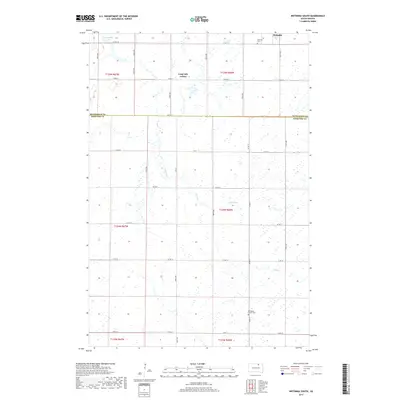
2017 Wetonka South
Edmunds County, SD
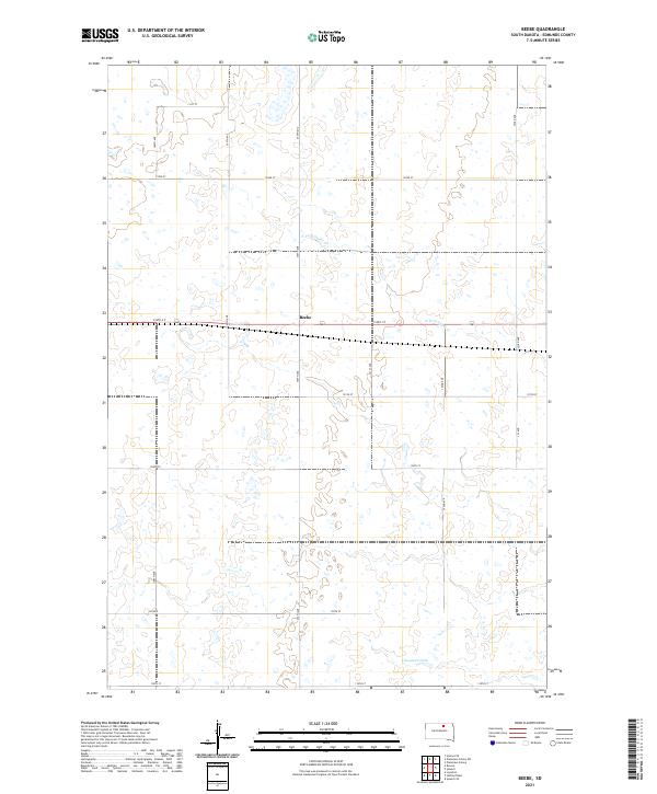
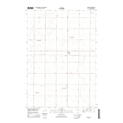
2021 Beebe
Edmunds County, SD
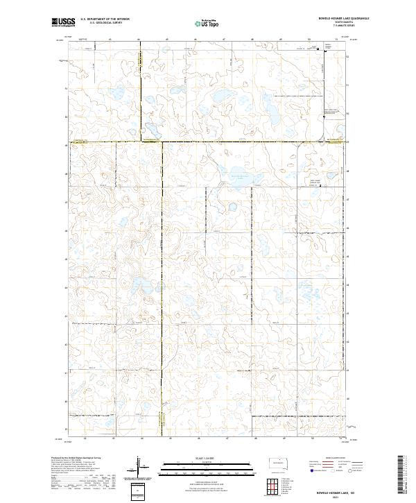
2021 Bowdle-Hosmer Lake
Edmunds County, SD
2021 Bowdle SE
Edmunds County, SD
2021 Bowdle SW
Edmunds County, SD
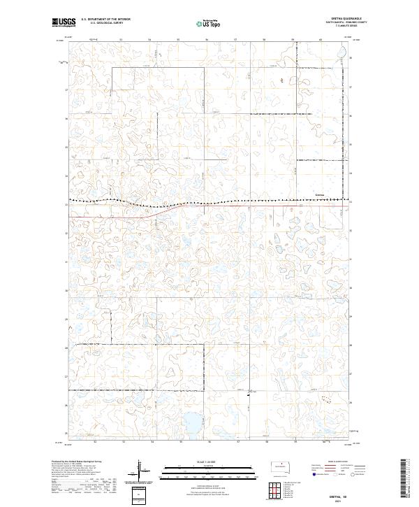
2021 Gretna
Edmunds County, SD
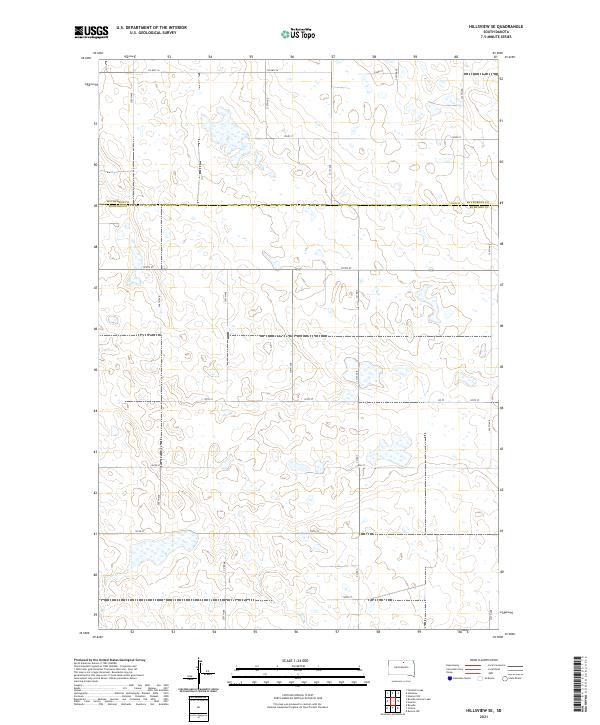
2021 Hillsview SE
Edmunds County, SD
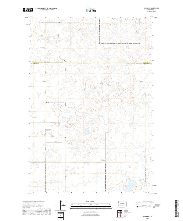
2021 Hosmer SE
Edmunds County, SD
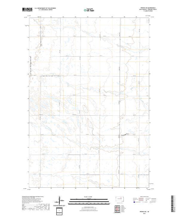
2021 Ipswich SE
Edmunds County, SD
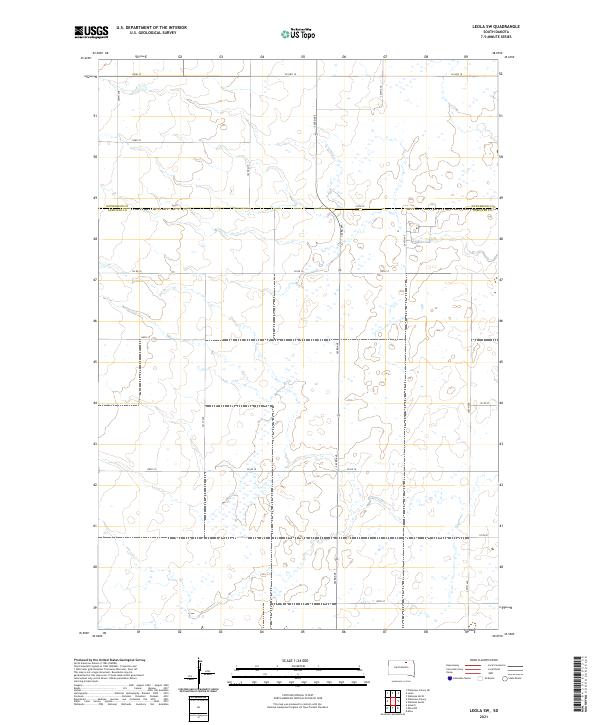
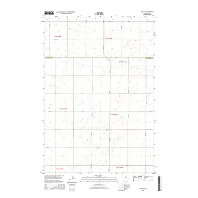
2021 Leola SW
Edmunds County, SD
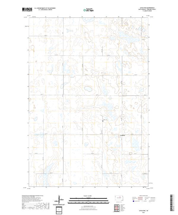
2021 Loyalton
Edmunds County, SD
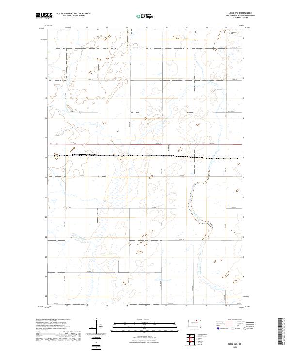
2021 Mina NW
Edmunds County, SD
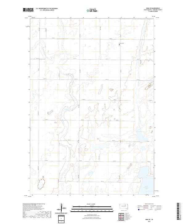
2021 Mina SE
Edmunds County, SD
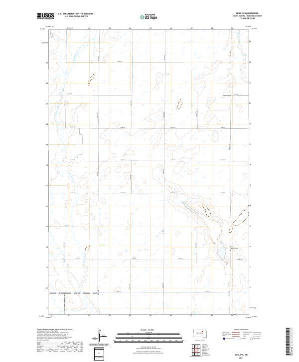
2021 Mina SW
Edmunds County, SD
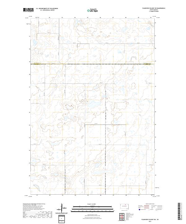
2021 Plainview Colony SW
Edmunds County, SD
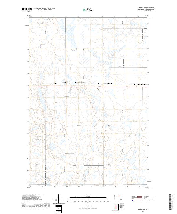
2021 Roscoe NW
Edmunds County, SD
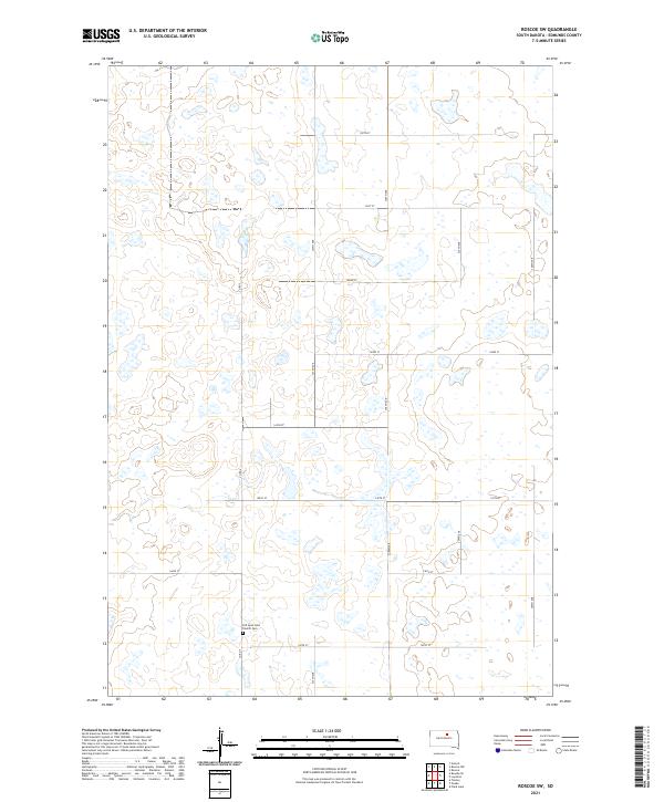
2021 Roscoe SW
Edmunds County, SD
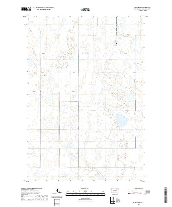
2021 Stafford Dam
Edmunds County, SD
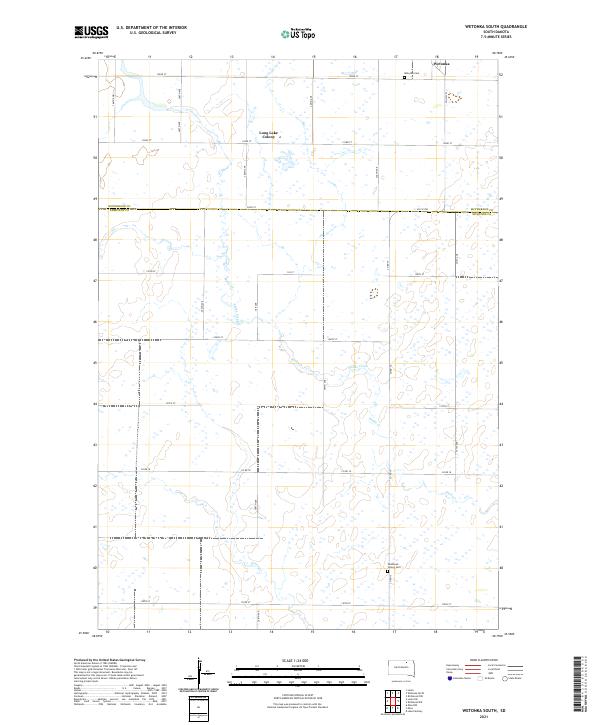
2021 Wetonka South
Edmunds County, SD