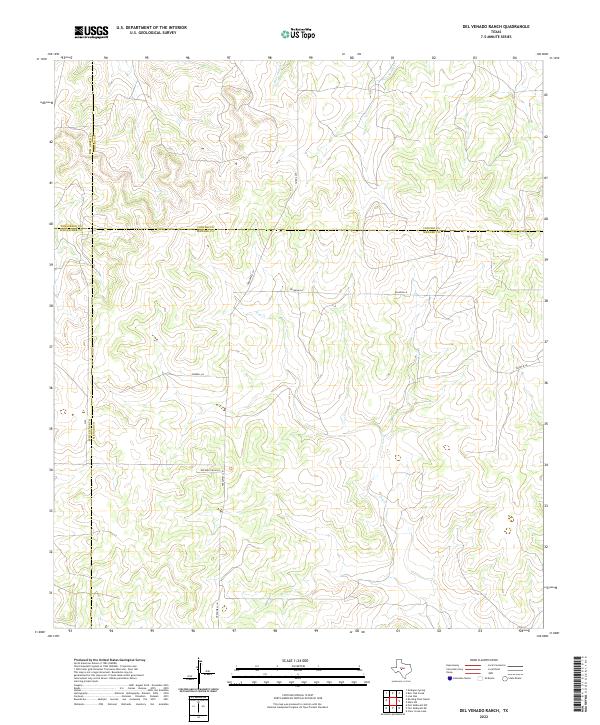
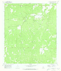
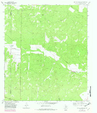
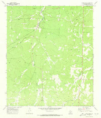
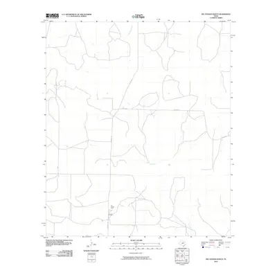
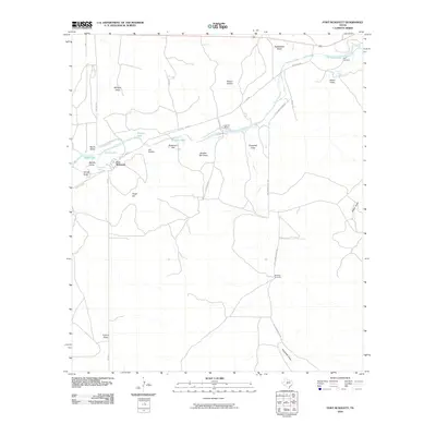
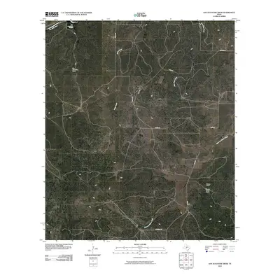
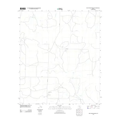
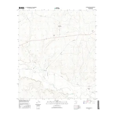
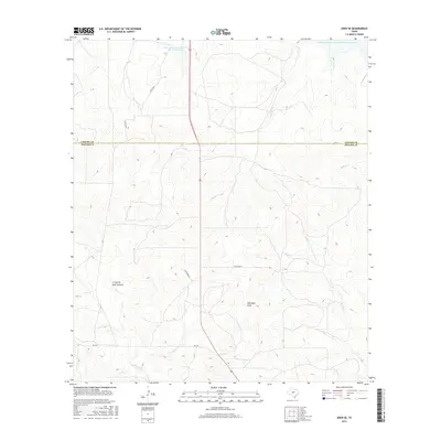
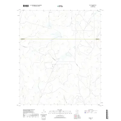
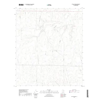
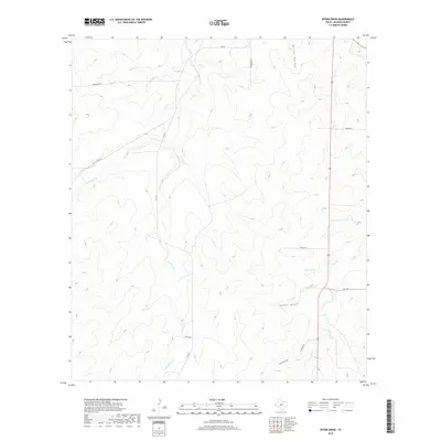
2022 Map of Del Venado Ranch
USGS Topo · Published 2022About this map
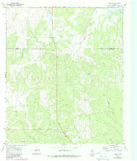
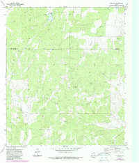
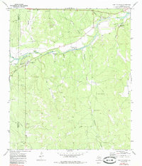
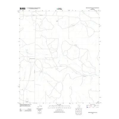
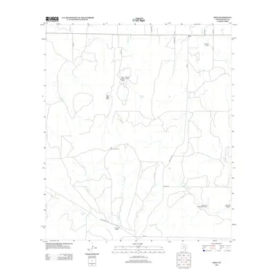
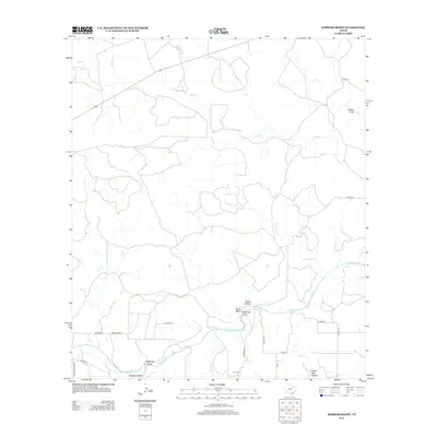
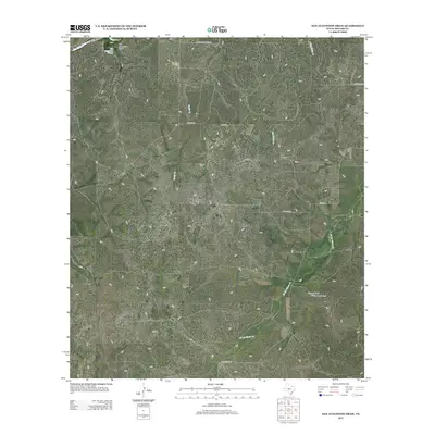
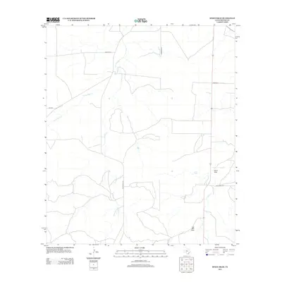
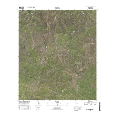
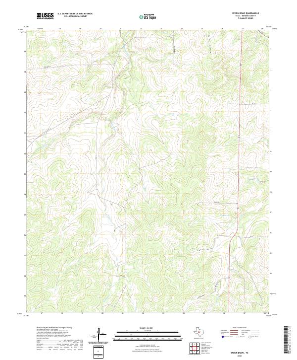
A high-plateau landscape where Tom Green, Concho, Schleicher, and Menard counties converge defines this portion of the Texas Edwards Plateau. The terrain is etched by the seasonal drainage patterns of Brady Cr in the northeast and the winding path of Dry Cr through the center, reflecting a landscape where water is the primary architect of the land. Roadways like Treadwell Ln and Wilhelm Ln provide access to the vast ranch lands, while named routes like Rocking Chair Ln and Sorrell Ln point to the area's long-standing cattle ranching heritage. These private holdings are bordered by simple county designations and natural landmarks such as Burr Oak Cr, showing a rural Texas interior that remains largely defined by large-scale agricultural operations and geographic boundaries rather than urban development.
Find a feature on this map
12 named features on this map. Tap any name to fly to it.
Don’t see what you’re looking for? This feature index may not catch every label — zoom into the map to look around manually.
Map Details
Editions of this 2022 Del Venado Ranch Map
This is the sole edition of this map. No revisions or reprints were ever made.
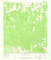
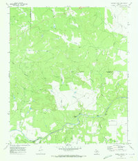
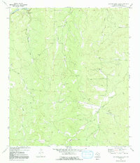
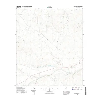
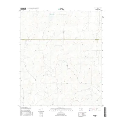
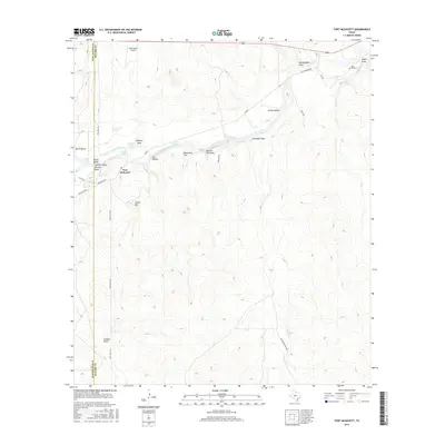
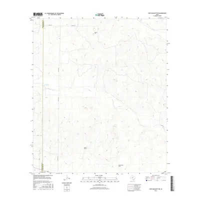
Historical Maps of Tom Green County Through Time
78 maps found
1970 Callan
Menard County, TX
1970 Chapman Draw
Menard County, TX
1970 Clear Creek Lake
Menard County, TX

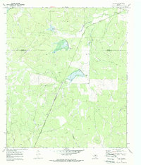
1970 Del Venado Ranch
Menard County, TX
1970 East Elm Creek
Menard County, TX
1970 Eden SE
Menard County, TX
1970 Eden SW
Menard County, TX
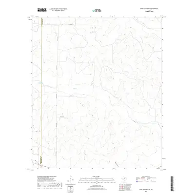
1970 Fort McKavett
Menard County, TX
1970 Fort McKavett NE
Menard County, TX
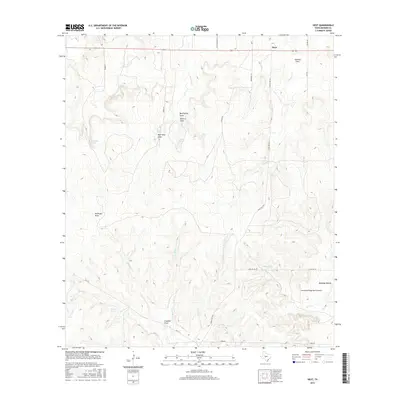
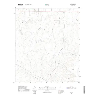
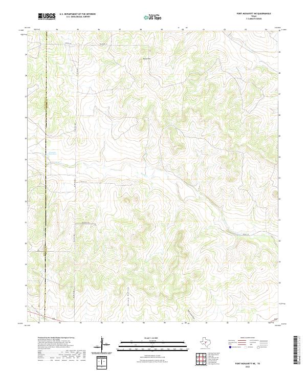
1970 Hext
Menard County, TX
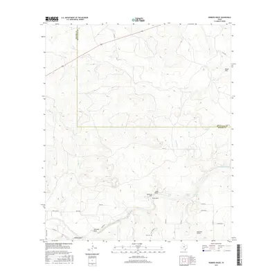
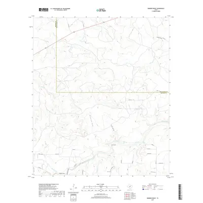
1970 Robbers Roost
Menard County, TX
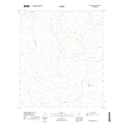
1970 San Augustine Draw
Menard County, TX
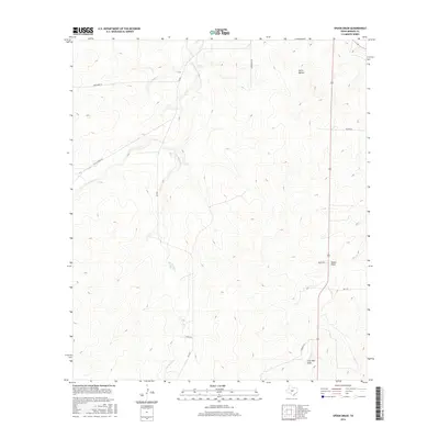
1970 Spoon Draw
Menard County, TX
2010 Callan
Menard County, TX
2010 Chapman Draw
Menard County, TX
2010 Clear Creek Lake
Menard County, TX
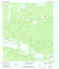
2010 Del Venado Ranch
Menard County, TX
2010 East Elm Creek
Menard County, TX
2010 Eden SE
Menard County, TX
2010 Eden SW
Menard County, TX
2010 Fort McKavett
Menard County, TX
2010 Fort McKavett NE
Menard County, TX
2010 Hext
Menard County, TX
2010 Robbers Roost
Menard County, TX
2010 San Augustine Draw
Menard County, TX
2010 Spoon Draw
Menard County, TX
2012 Chapman Draw
Menard County, TX
2012 Clear Creek Lake
Menard County, TX
2012 Del Venado Ranch
Menard County, TX
2012 East Elm Creek
Menard County, TX
2012 Eden SW
Menard County, TX
2012 Fort McKavett
Menard County, TX
2012 Fort McKavett NE
Menard County, TX
2012 Hext
Menard County, TX
2012 Robbers Roost
Menard County, TX
2012 San Augustine Draw
Menard County, TX
2012 Spoon Draw
Menard County, TX
2013 Callan
Menard County, TX
2013 Eden SE
Menard County, TX
2016 Callan
Menard County, TX
2016 Chapman Draw
Menard County, TX
2016 Clear Creek Lake
Menard County, TX
2016 Del Venado Ranch
Menard County, TX
2016 East Elm Creek
Menard County, TX
2016 Eden SE
Menard County, TX
2016 Eden SW
Menard County, TX
2016 Fort McKavett
Menard County, TX
2016 Fort McKavett NE
Menard County, TX
2016 Hext
Menard County, TX
2016 Robbers Roost
Menard County, TX
2016 San Augustine Draw
Menard County, TX
2016 Spoon Draw
Menard County, TX
2019 Callan
Menard County, TX
2019 Chapman Draw
Menard County, TX
2019 Clear Creek Lake
Menard County, TX
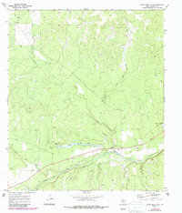
2019 Del Venado Ranch
Menard County, TX
2019 East Elm Creek
Menard County, TX
2019 Eden SE
Menard County, TX
2019 Eden SW
Menard County, TX
2019 Fort McKavett
Menard County, TX
2019 Fort McKavett NE
Menard County, TX
2019 Hext
Menard County, TX
2019 Robbers Roost
Menard County, TX
2019 San Augustine Draw
Menard County, TX
2019 Spoon Draw
Menard County, TX
2022 Callan
Menard County, TX
2022 Chapman Draw
Menard County, TX
2022 Clear Creek Lake
Menard County, TX
2022 Del Venado Ranch
Menard County, TX
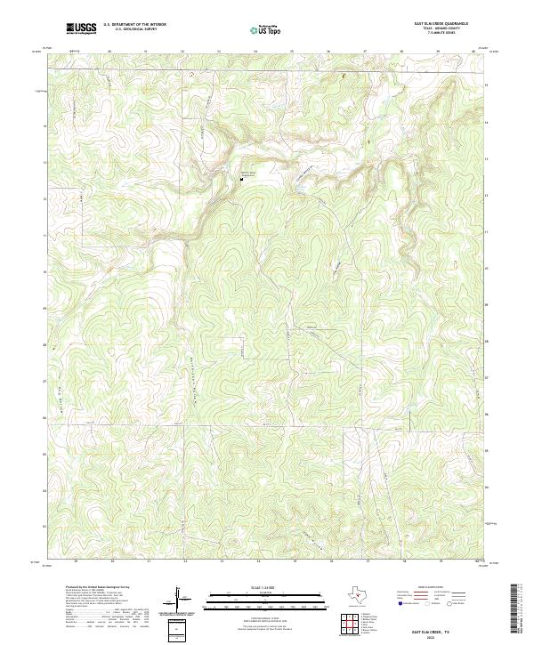
2022 East Elm Creek
Menard County, TX
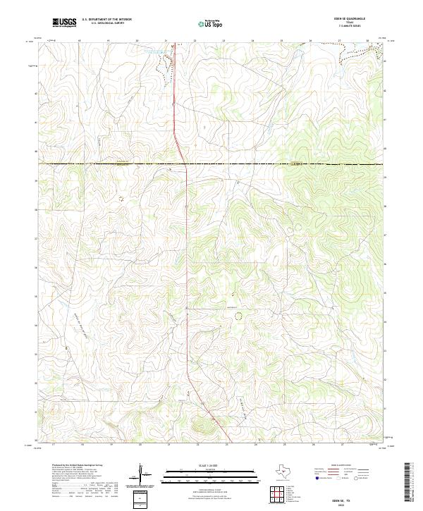
2022 Eden SE
Menard County, TX
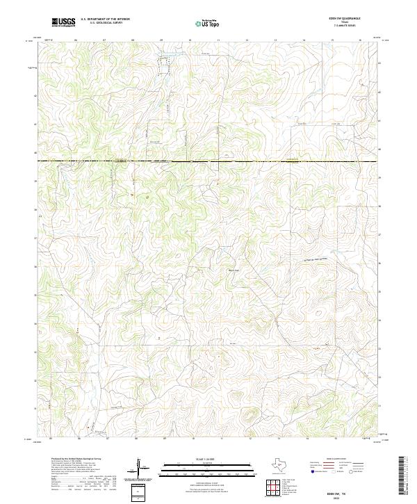
2022 Eden SW
Menard County, TX
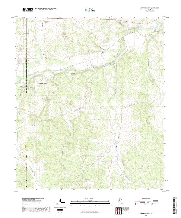
2022 Fort McKavett
Menard County, TX
2022 Fort McKavett NE
Menard County, TX
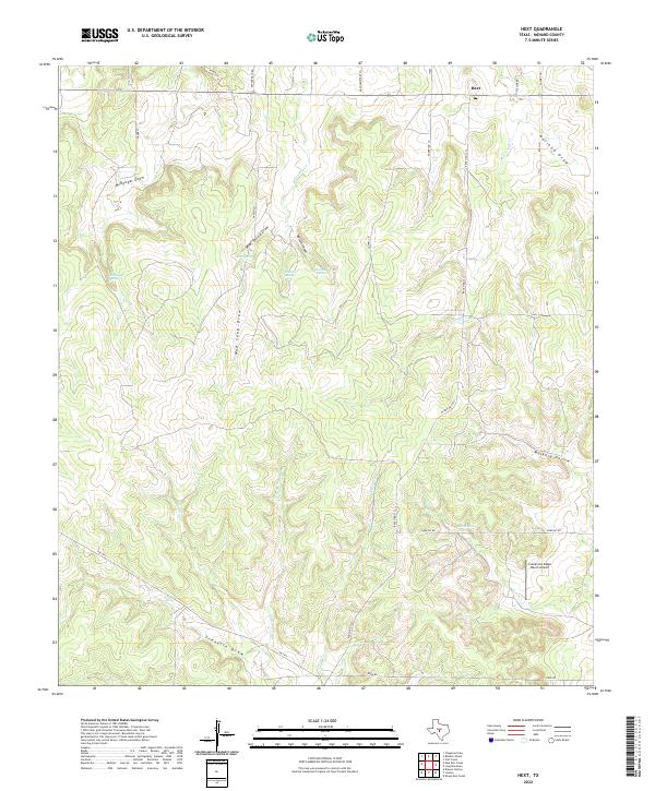
2022 Hext
Menard County, TX
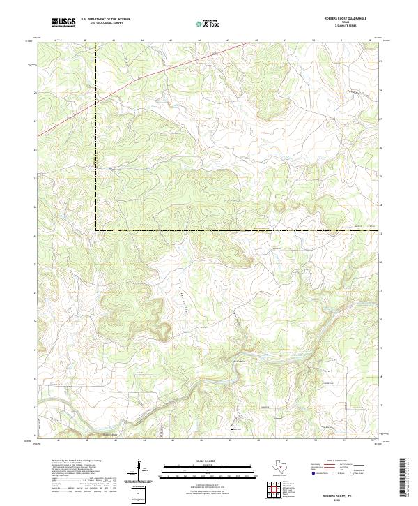
2022 Robbers Roost
Menard County, TX
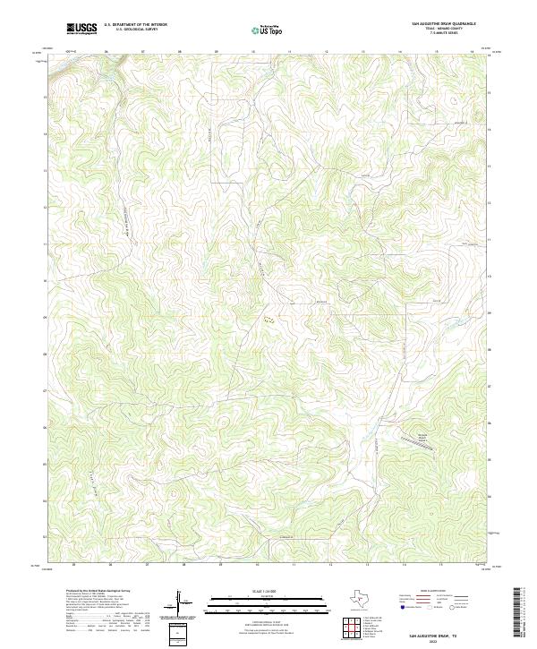
2022 San Augustine Draw
Menard County, TX
2022 Spoon Draw
Menard County, TX