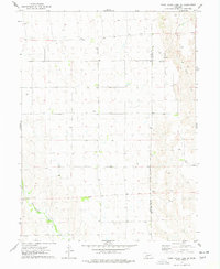
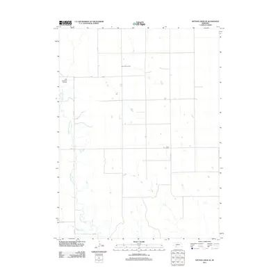
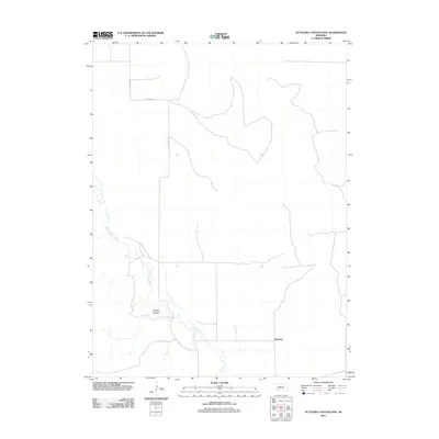
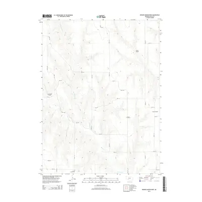
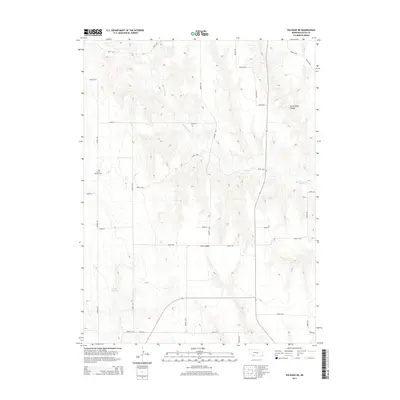
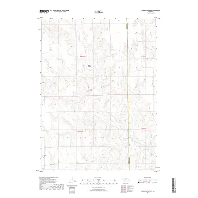
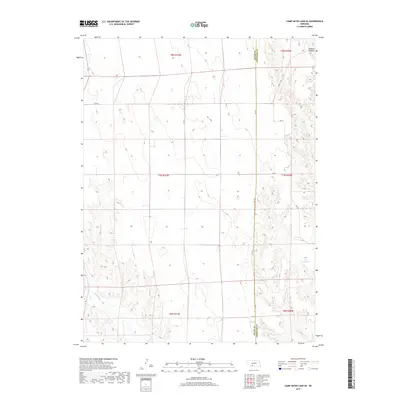
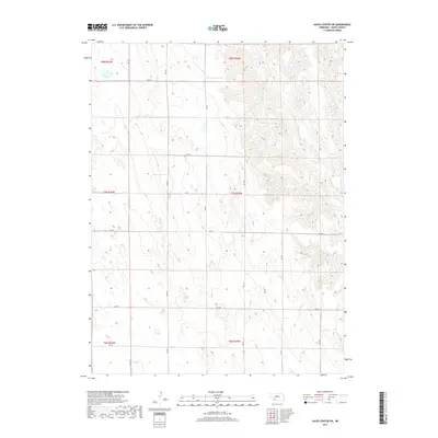
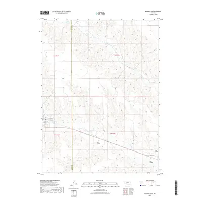
2021 Map of Hayes Center SW
USGS Topo · Published 2021About this map
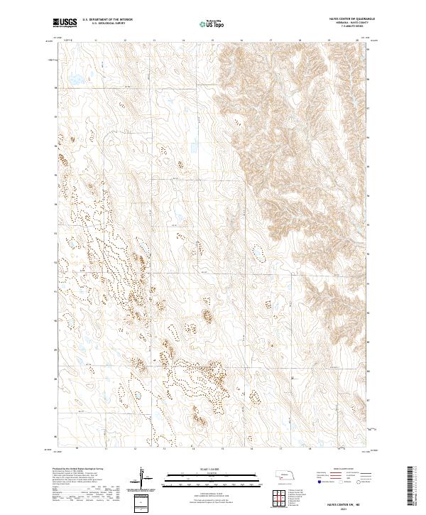
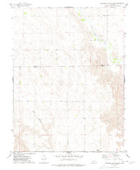
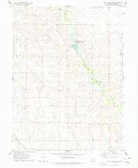
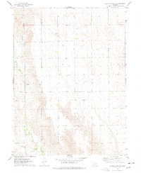
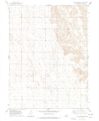
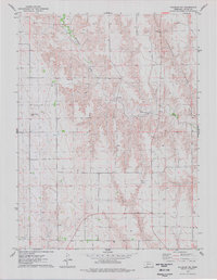
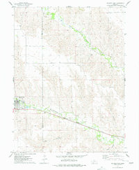
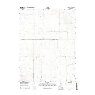
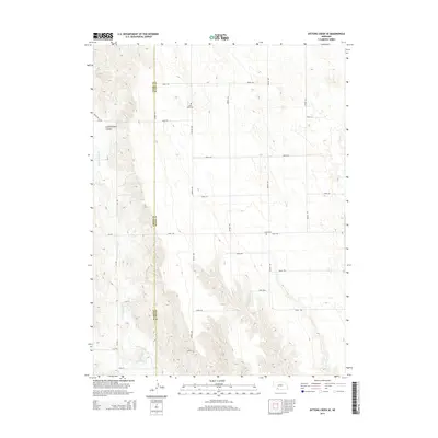
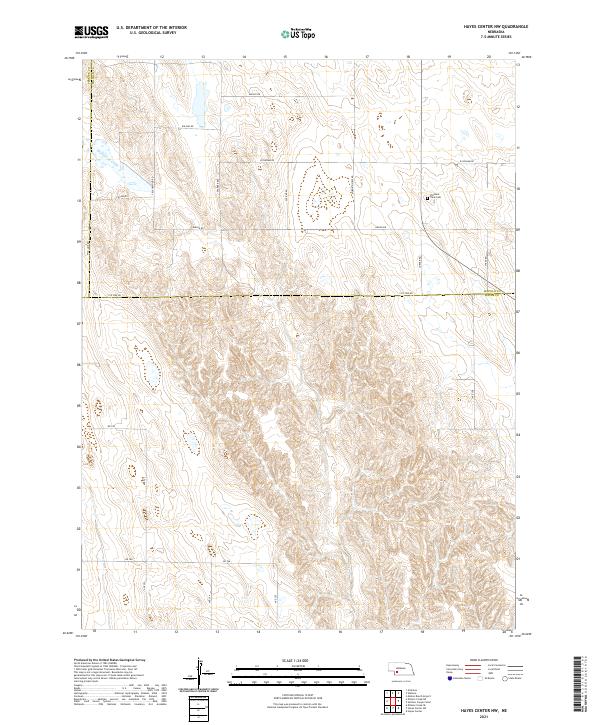
The High Plains of Hayes County are defined by a rhythmic system of deep-cut drainages and high ridges, organized by a strict grid of section lines. This survey captures a rural landscape where the Jeffersonian grid is etched into the earth through local connectors like Ave 354 and Rd 751. The terrain transitions from relatively flat tablelands in the west to more complex, eroded breaks in the east, particularly around the headwaters of unnamed seasonal drainages. Modern travel corridors often follow older routes, as seen with Old Hwy 17 cutting across the southeastern corner. This area represents the enduring agricultural and ranching patterns of southwest Nebraska, where every square mile is accounted for by the Public Land Survey System, as indicated by the township boundaries like t7n r34w.
Find a feature on this map
19 named features on this map. Tap any name to fly to it.
Don’t see what you’re looking for? This feature index may not catch every label — zoom into the map to look around manually.
Map Details
Editions of this 2021 Hayes Center SW Map
This is the sole edition of this map. No revisions or reprints were ever made.
Historical Maps of Hayes County Through Time
65 maps found
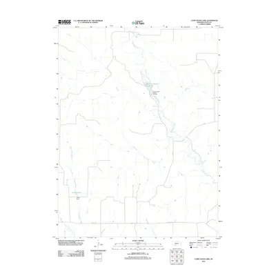
1956 Camp Hayes Lake NE
Hayes County, NE
1970 Burger Canyon East
Hayes County, NE
1973 Burger Canyon West
Hayes County, NE
1973 Camp Hayes Lake SE
Hayes County, NE
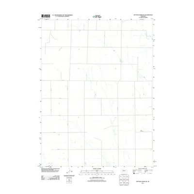
1973 Dittons Creek NE
Hayes County, NE
1973 Hayes Center NW
Hayes County, NE
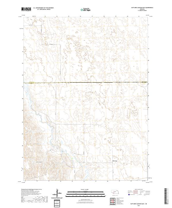
1973 Suttlers Canyon East
Hayes County, NE
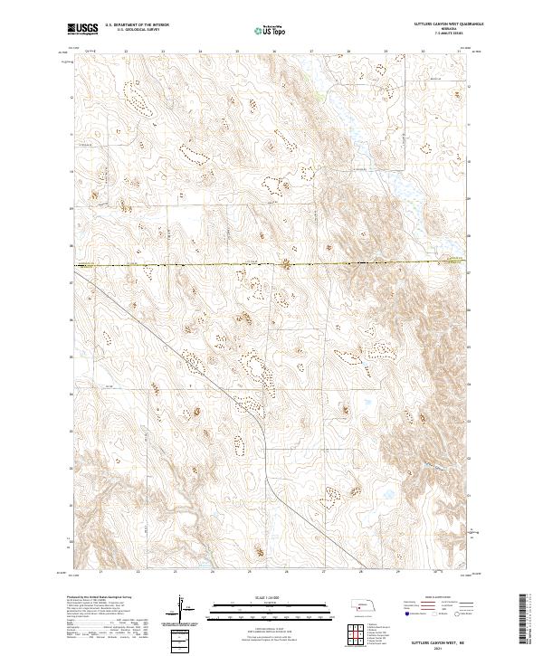
1973 Suttlers Canyon West
Hayes County, NE
1974 Camp Hayes Lake
Hayes County, NE
1974 Dittons Creek SE
Hayes County, NE
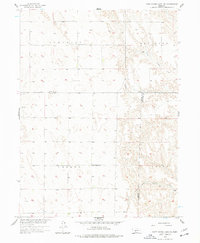
1974 Hayes Center SW
Hayes County, NE
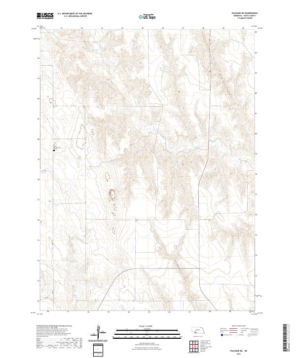
1974 Palisade NE
Hayes County, NE
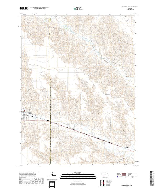
1974 Wauneta East
Hayes County, NE
2011 Burger Canyon East
Hayes County, NE
2011 Burger Canyon West
Hayes County, NE
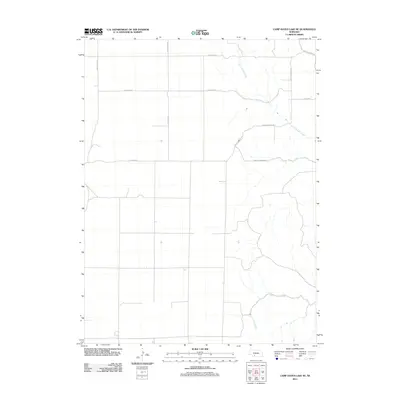
2011 Camp Hayes Lake
Hayes County, NE
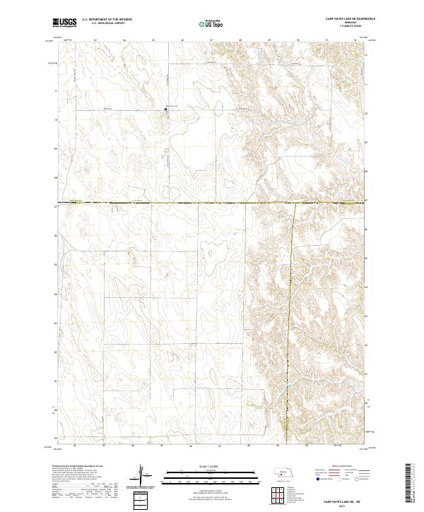
2011 Camp Hayes Lake NE
Hayes County, NE
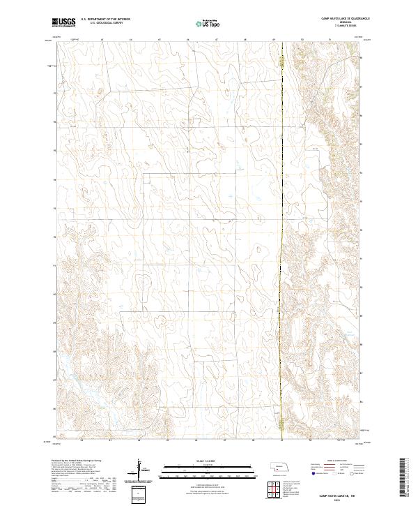
2011 Camp Hayes Lake SE
Hayes County, NE
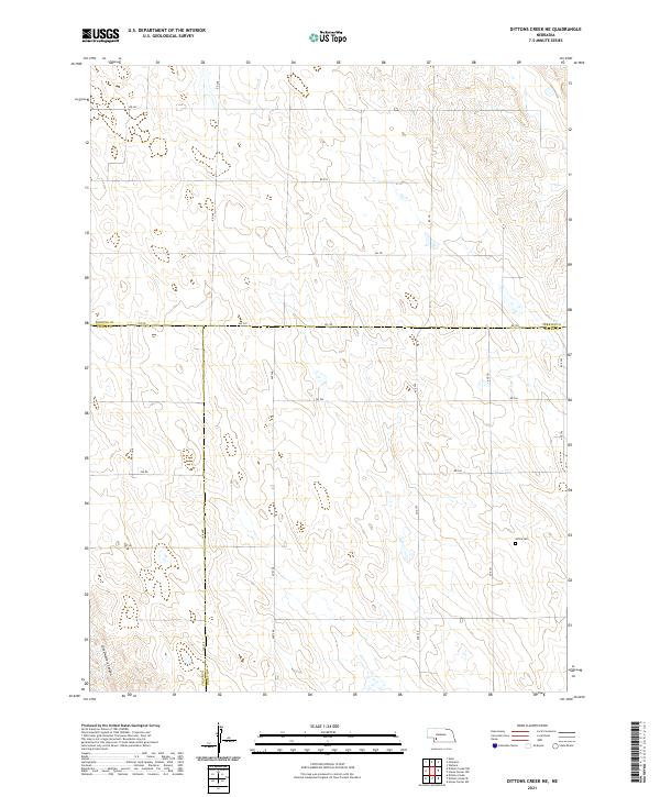
2011 Dittons Creek NE
Hayes County, NE
2011 Dittons Creek SE
Hayes County, NE
2011 Hayes Center NW
Hayes County, NE
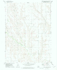
2011 Hayes Center SW
Hayes County, NE
2011 Palisade NE
Hayes County, NE
2011 Suttlers Canyon East
Hayes County, NE
2011 Suttlers Canyon West
Hayes County, NE
2011 Wauneta East
Hayes County, NE
2014 Burger Canyon East
Hayes County, NE
2014 Burger Canyon West
Hayes County, NE
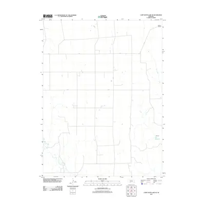
2014 Camp Hayes Lake
Hayes County, NE
2014 Camp Hayes Lake NE
Hayes County, NE
2014 Camp Hayes Lake SE
Hayes County, NE
2014 Dittons Creek NE
Hayes County, NE
2014 Dittons Creek SE
Hayes County, NE
2014 Hayes Center NW
Hayes County, NE
2014 Hayes Center SW
Hayes County, NE
2014 Palisade NE
Hayes County, NE
2014 Suttlers Canyon East
Hayes County, NE
2014 Suttlers Canyon West
Hayes County, NE
2014 Wauneta East
Hayes County, NE
2017 Burger Canyon East
Hayes County, NE
2017 Burger Canyon West
Hayes County, NE
2017 Camp Hayes Lake
Hayes County, NE
2017 Camp Hayes Lake NE
Hayes County, NE
2017 Camp Hayes Lake SE
Hayes County, NE
2017 Dittons Creek NE
Hayes County, NE
2017 Dittons Creek SE
Hayes County, NE
2017 Hayes Center NW
Hayes County, NE
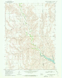
2017 Hayes Center SW
Hayes County, NE
2017 Palisade NE
Hayes County, NE
2017 Suttlers Canyon East
Hayes County, NE
2017 Suttlers Canyon West
Hayes County, NE
2017 Wauneta East
Hayes County, NE
2021 Burger Canyon East
Hayes County, NE
2021 Burger Canyon West
Hayes County, NE
2021 Camp Hayes Lake
Hayes County, NE
2021 Camp Hayes Lake NE
Hayes County, NE
2021 Camp Hayes Lake SE
Hayes County, NE
2021 Dittons Creek NE
Hayes County, NE

2021 Dittons Creek SE
Hayes County, NE
2021 Hayes Center NW
Hayes County, NE
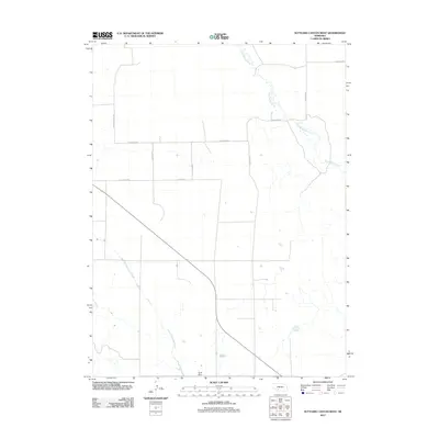
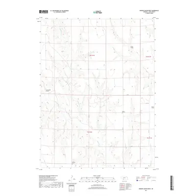
2021 Hayes Center SW
Hayes County, NE
2021 Palisade NE
Hayes County, NE
2021 Suttlers Canyon East
Hayes County, NE
2021 Suttlers Canyon West
Hayes County, NE
2021 Wauneta East
Hayes County, NE