
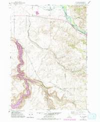
2024 Map of Idaho Falls South
USGS Topo · Published 2024About this map
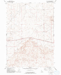
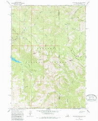
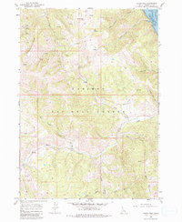
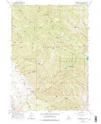
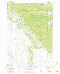
The Snake River anchors this detailed study of the upper Snake River Plain, where the industrial and civic heart of Idaho Falls meets an intricate agricultural network. The landscape is defined by its sophisticated hydraulic engineering, featuring a dense grid of waterways including the Great Western Canal, Idaho Canal, and Butte Arm Canal. These systems historically transformed the semi-arid region into a productive farming belt, supporting rural communities such as Taylorville, Mitchell, and Gerrard.
Find a feature on this map
115 named features on this map. Tap any name to fly to it.
Don’t see what you’re looking for? This feature index may not catch every label — zoom into the map to look around manually.
Map Details
Editions of this 2024 Idaho Falls South Map
This is the sole edition of this map. No revisions or reprints were ever made.
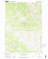
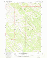
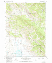
Historical Maps of Cotton Through Time
78 maps found
1924 Hell Creek
Bonneville County, ID

1926 Hell Creek
Bonneville County, ID

1943 Garns Mtn
Bonneville County, ID

1946 Garns Mtn
Bonneville County, ID

1948 Idaho Falls North
Bonneville County, ID

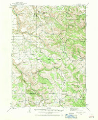
1948 Idaho Falls South
Bonneville County, ID

1948 Woodville
Bonneville County, ID

1949 Idaho Falls North
Bonneville County, ID
1949 Shattuck Butte
Bonneville County, ID

1950 Idaho Falls South
Bonneville County, ID
1950 Rigby SE
Bonneville County, ID

1950 Shattuck Butte
Bonneville County, ID

1950 Woodville
Bonneville County, ID

1951 Heise SE
Bonneville County, ID
1951 Poplar
Bonneville County, ID

1951 Rigby SE
Bonneville County, ID

1959 Woodville
Bonneville County, ID

1964 Butterfly Butte
Bonneville County, ID
1964 Kettle Butte
Bonneville County, ID

1964 Morgans Pasture NE
Bonneville County, ID

1966 Bear Island
Bonneville County, ID
1966 Big Elk Mtn
Bonneville County, ID

1966 Caribou mtn
Bonneville County, ID
1966 Commissary Ridge
Bonneville County, ID

1966 Conant Valley
Bonneville County, ID
1966 Herman
Bonneville County, ID

1966 Mount Baird
Bonneville County, ID

1966 Palisades Dam
Bonneville County, ID
1966 Palisades Peak
Bonneville County, ID
1966 Poker Peak
Bonneville County, ID

1966 Red Ridge
Bonneville County, ID
1966 Thompson Peak
Bonneville County, ID

1966 Tincup Mtn
Bonneville County, ID
1966 Wheaton Mountain
Bonneville County, ID

1976 Idaho Falls South
Bonneville County, ID

1977 Stouts Mtn
Bonneville County, ID

1981 Castle Rock
Bonneville County, ID

1981 Homer Valley
Bonneville County, ID

1981 Jumpoff Hill
Bonneville County, ID

1981 Little Valley Hills
Bonneville County, ID

1981 Lone Pine Ridge
Bonneville County, ID

1981 Ozone
Bonneville County, ID

1981 Point Lookout
Bonneville County, ID

1986 Palisades
Bonneville County, ID

1996 Palisades Peak
Bonneville County, ID
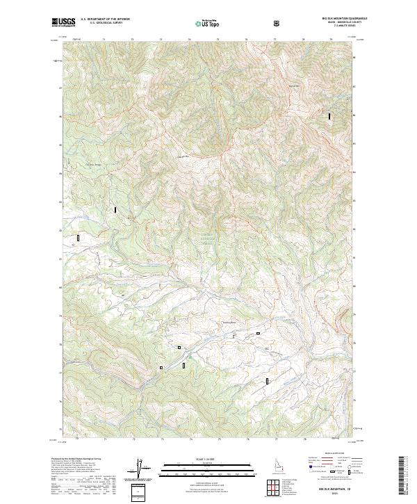
2023 Big Elk Mountain
Bonneville County, ID
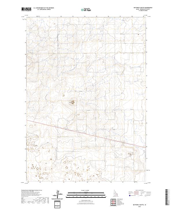
2023 Butterfly Butte
Bonneville County, ID
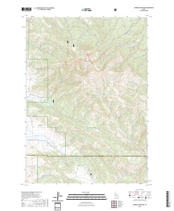
2023 Caribou Mountain
Bonneville County, ID
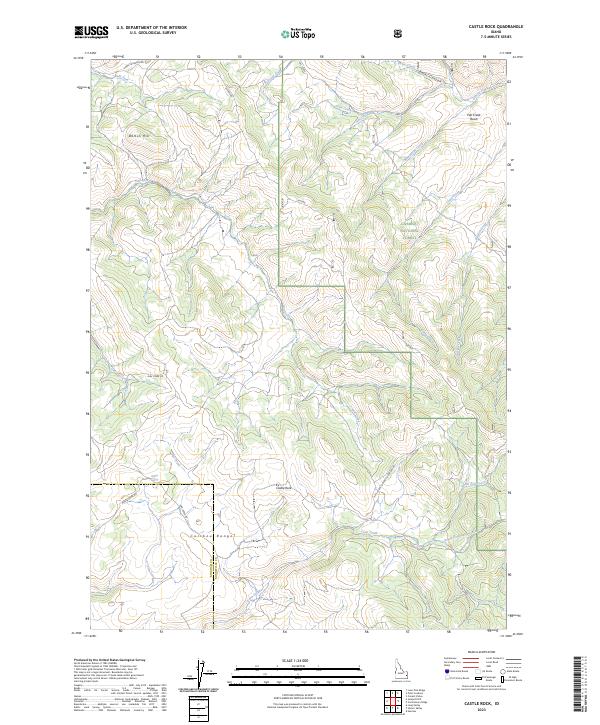
2023 Castle Rock
Bonneville County, ID

2023 Idaho Falls North
Bonneville County, ID
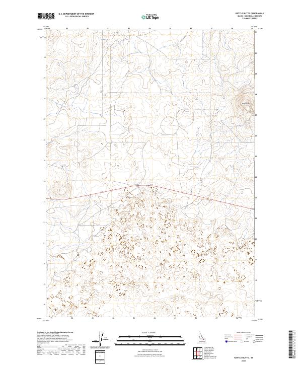
2023 Kettle Butte
Bonneville County, ID
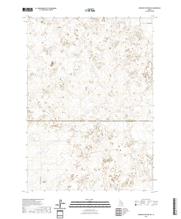
2023 Morgans Pasture NE
Bonneville County, ID
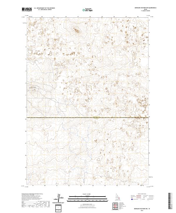
2023 Morgans Pasture NW
Bonneville County, ID
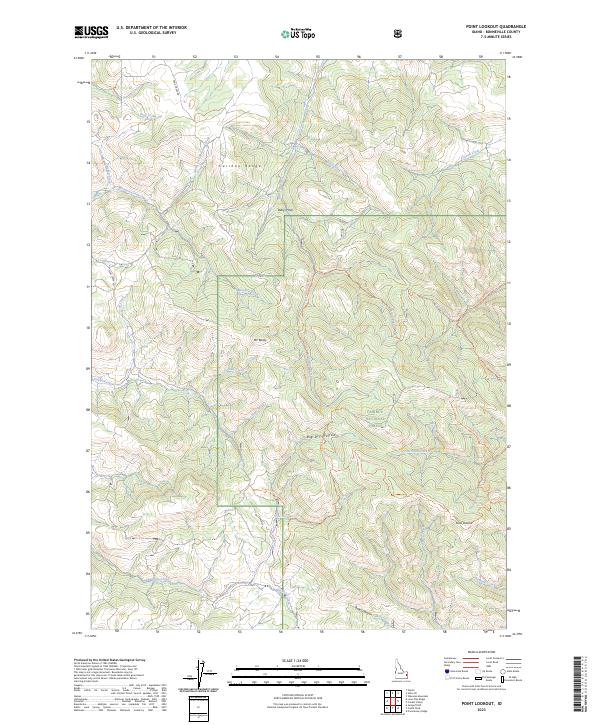
2023 Point Lookout
Bonneville County, ID
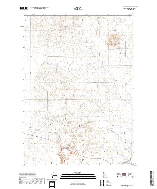
2023 Shattuck Butte
Bonneville County, ID
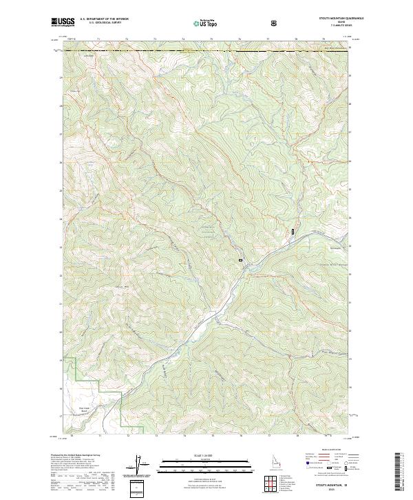
2023 Stouts Mountain
Bonneville County, ID
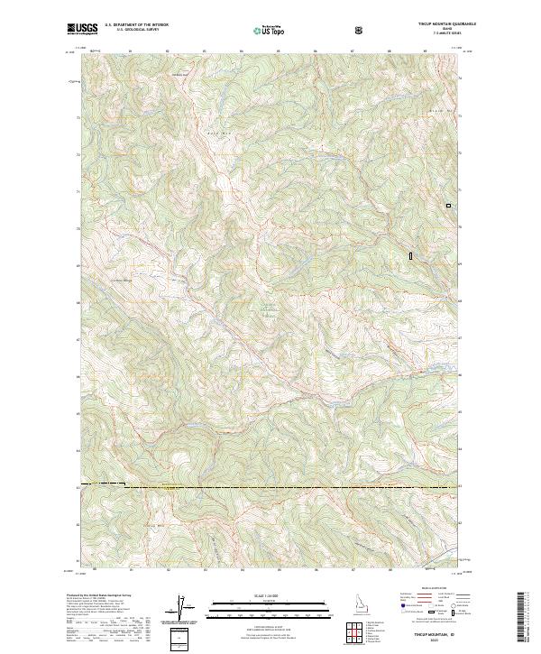
2023 Tincup Mountain
Bonneville County, ID
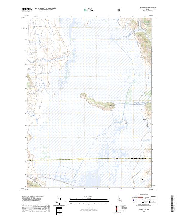
2024 Bear Island
Bonneville County, ID
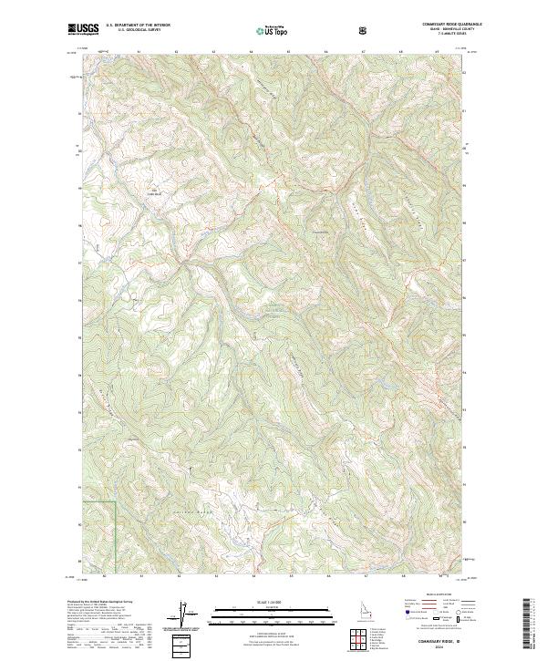
2024 Commissary Ridge
Bonneville County, ID
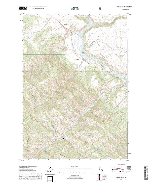
2024 Conant Valley
Bonneville County, ID
2024 Heise SE
Bonneville County, ID
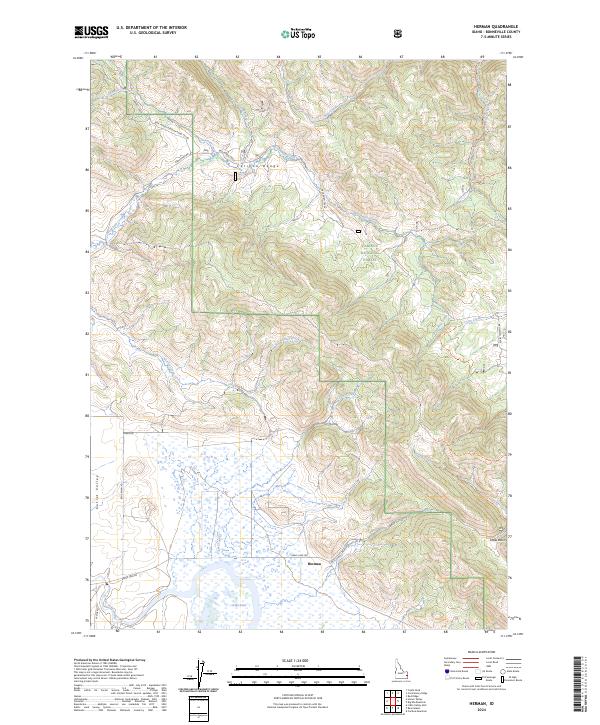
2024 Herman
Bonneville County, ID
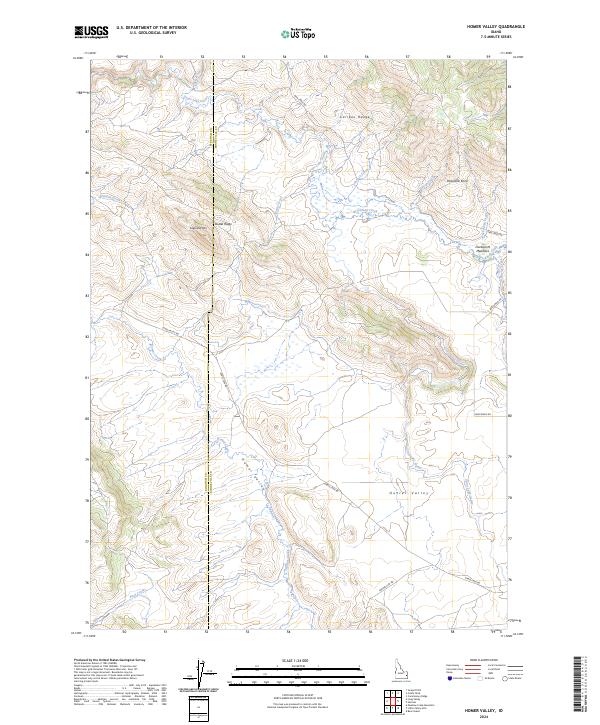
2024 Homer Valley
Bonneville County, ID
2024 Idaho Falls South
Bonneville County, ID
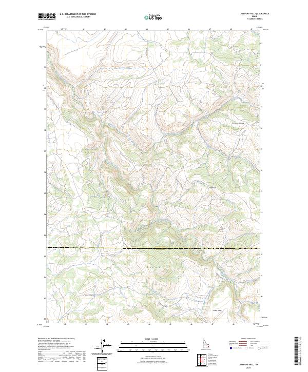
2024 Jumpoff Hill
Bonneville County, ID
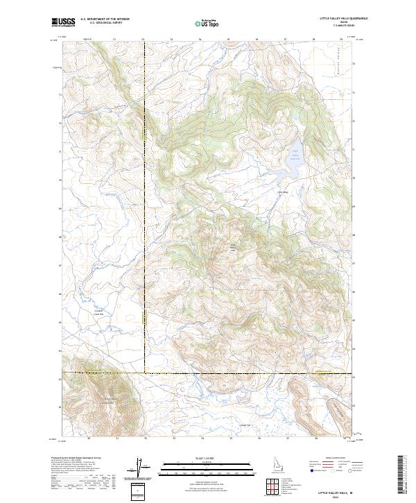
2024 Little Valley Hills
Bonneville County, ID

2024 Lone Pine Ridge
Bonneville County, ID
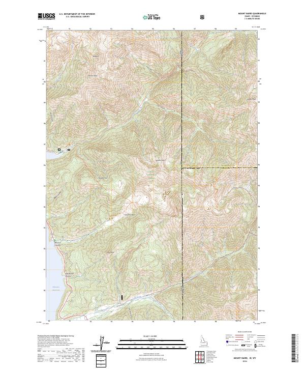
2024 Mount Baird
Bonneville County, ID
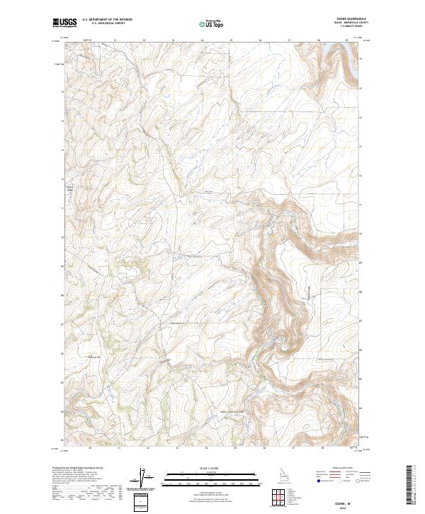
2024 Ozone
Bonneville County, ID
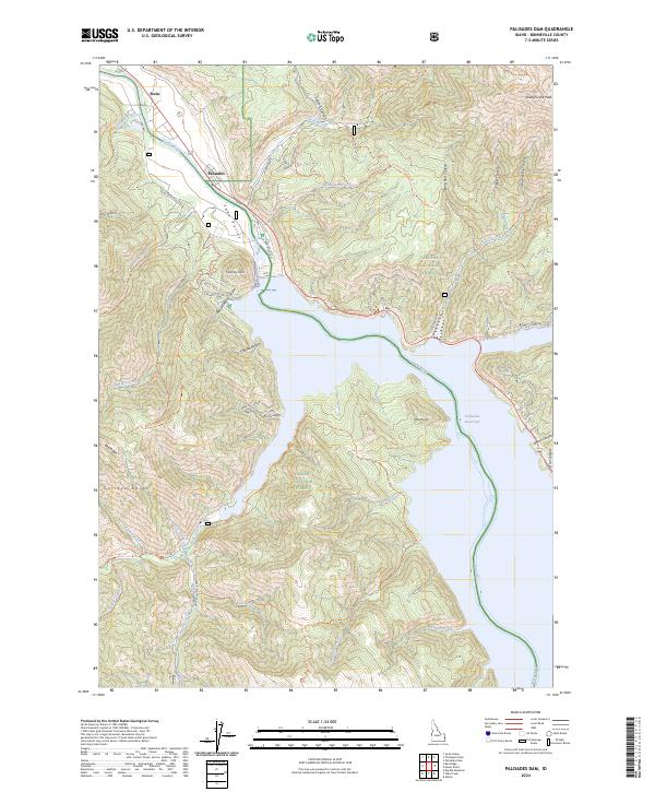
2024 Palisades Dam
Bonneville County, ID
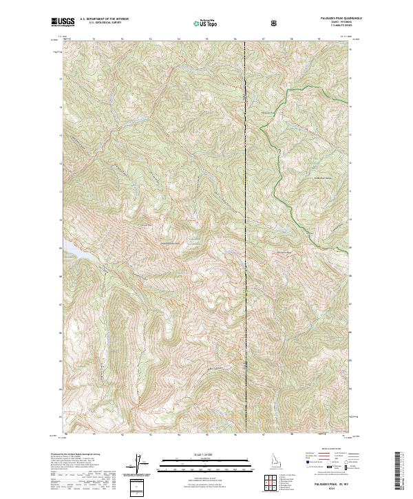
2024 Palisades Peak
Bonneville County, ID
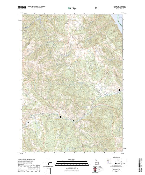
2024 Poker Peak
Bonneville County, ID
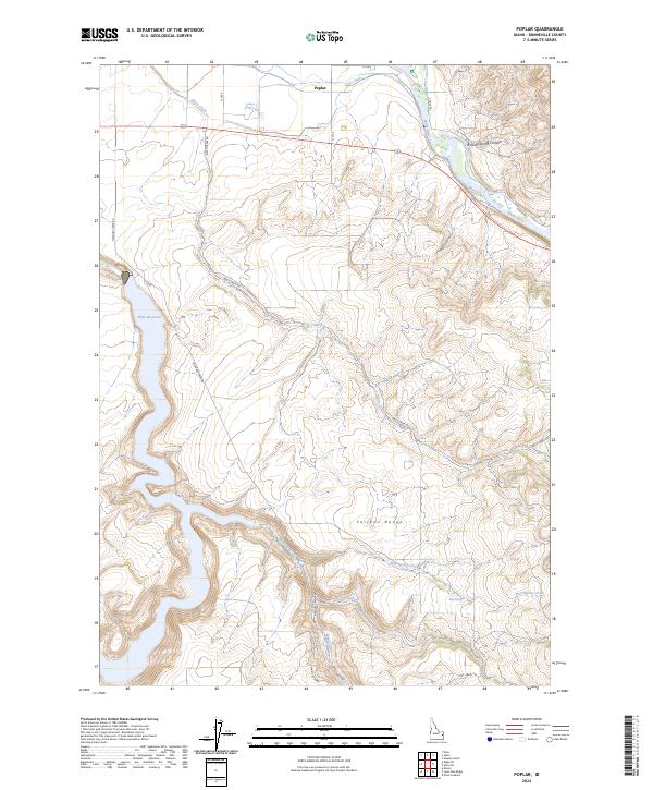
2024 Poplar
Bonneville County, ID
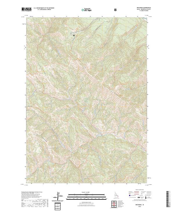
2024 Red Ridge
Bonneville County, ID
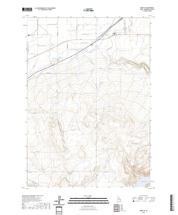
2024 Rigby SE
Bonneville County, ID

2024 Thompson Peak
Bonneville County, ID
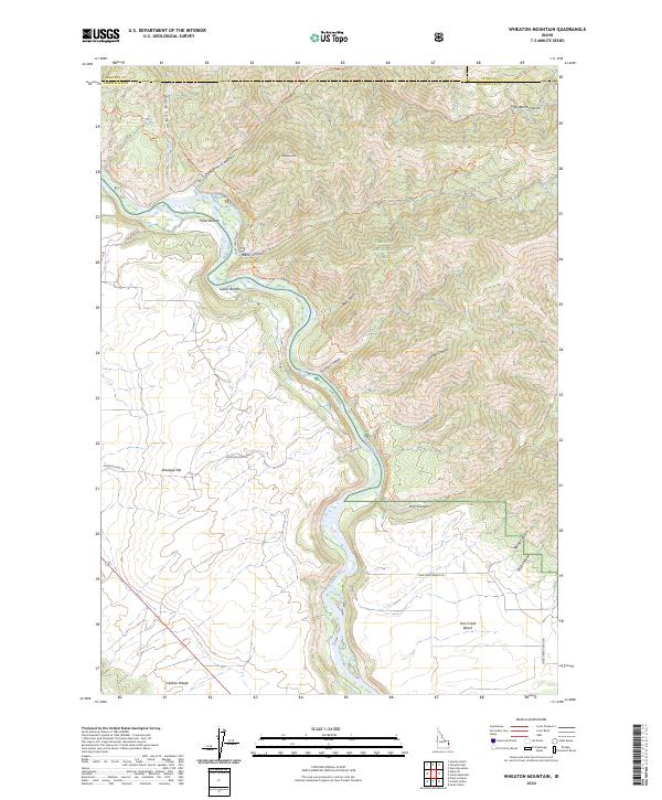
2024 Wheaton Mountain
Bonneville County, ID
2024 Woodville
Bonneville County, ID