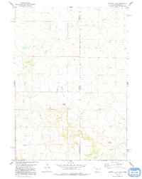
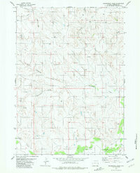
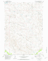
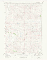
2021 Map of Keeline
USGS Topo · Published 2021About this map
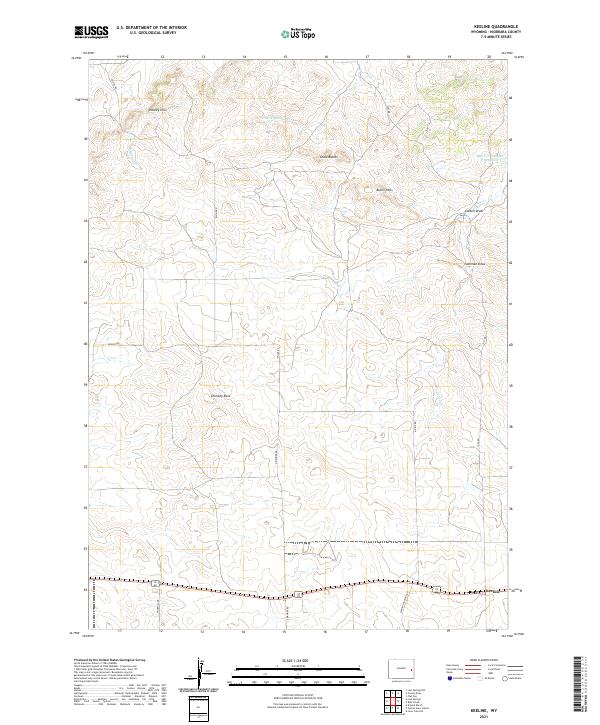
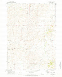
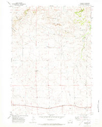
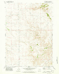
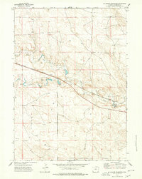
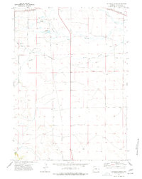
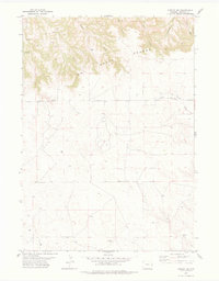
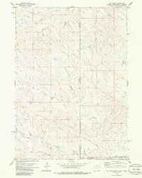
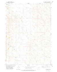
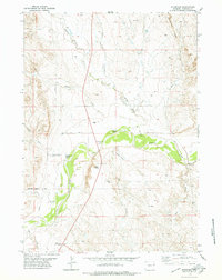
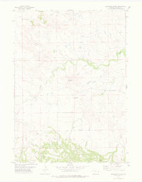
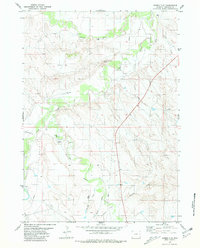
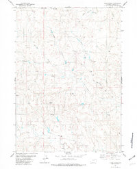
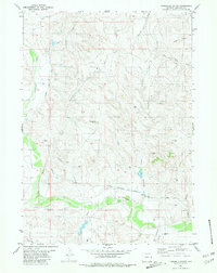
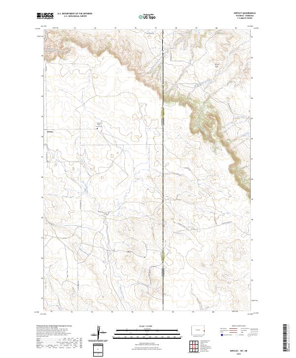
Keeline serves as the primary anchor in this high-plains landscape, situated along the southern edge of a terrain defined by subtle ridges and expansive draws. The geography is marked by distinctive formations like Chimney Rock and the Chalk Buttes, providing essential landmarks in an area dominated by dry drainage systems. Water features are sparse but significant, including Little Lightning Cr and the Lance Cr Number 2 Reservoir, which likely support the ranching operations suggested by the network of local roads like N Mahnke Rd and Windmill Rd.
Find a feature on this map
24 named features on this map. Tap any name to fly to it.
Don’t see what you’re looking for? This feature index may not catch every label — zoom into the map to look around manually.
Map Details
Editions of this 2021 Keeline Map
This is the sole edition of this map. No revisions or reprints were ever made.
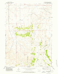
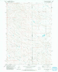
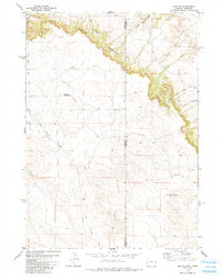
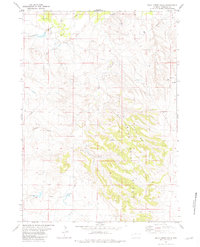
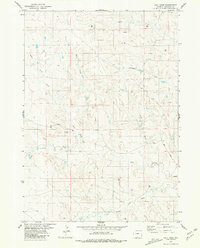
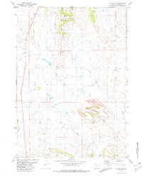
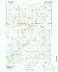
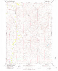
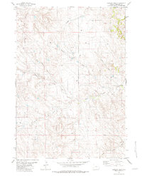
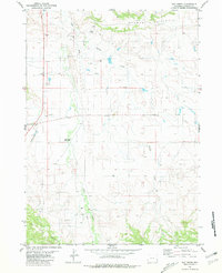
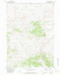
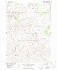
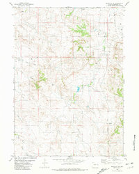
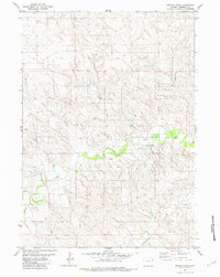
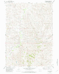
Historical Maps of Keeline Through Time
90 maps found
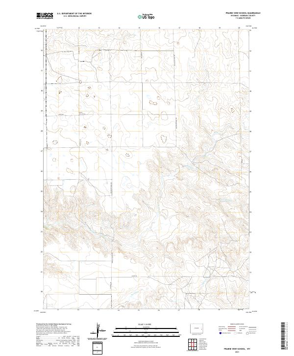
1950 Prairie View School
Niobrara County, WY
1951 Dewey
Niobrara County, WY
1951 Twentyone Divide
Niobrara County, WY
1970 Cooley Draw
Niobrara County, WY
1970 Keeline
Niobrara County, WY
1974 Lone Tree Hill
Niobrara County, WY
1974 Mc Master Reservoir
Niobrara County, WY
1974 Reynolds Spring
Niobrara County, WY
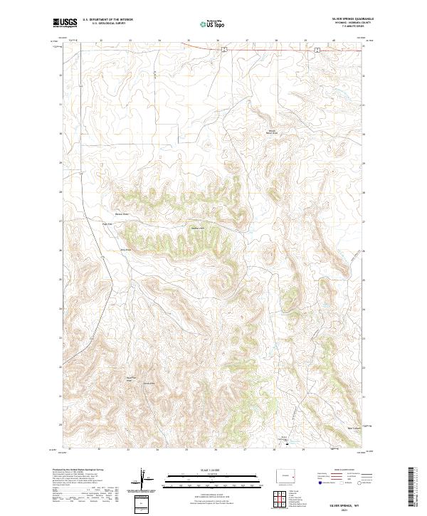
1974 Silver Springs
Niobrara County, WY
1978 Coffee Flats
Niobrara County, WY
1978 Kirtley
Niobrara County, WY
1978 Kirtley SW
Niobrara County, WY
1978 Mule Creek
Niobrara County, WY
1978 Mule Creek SE
Niobrara County, WY
1978 Node
Niobrara County, WY
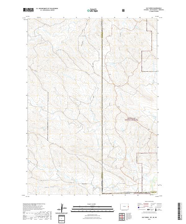
1978 Oat Creek
Niobrara County, WY
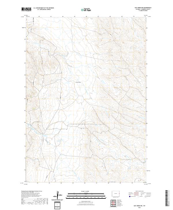
1978 Oat Creek NW
Niobrara County, WY
1978 Riverview
Niobrara County, WY
1978 Shepherds Point
Niobrara County, WY
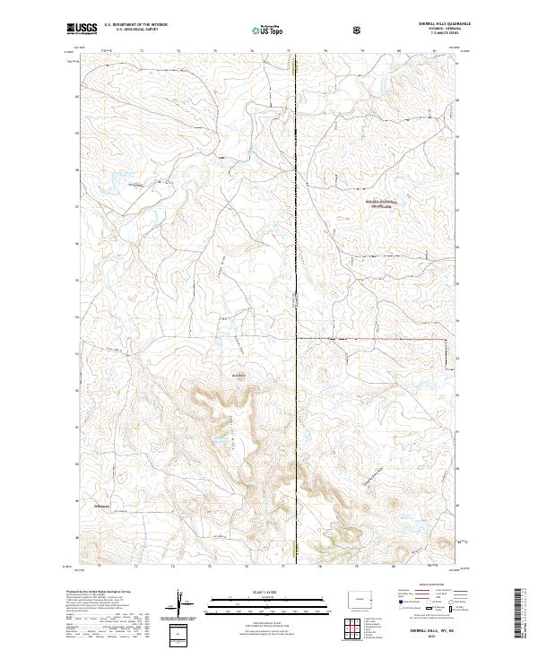
1978 Sherrill Hills
Niobrara County, WY
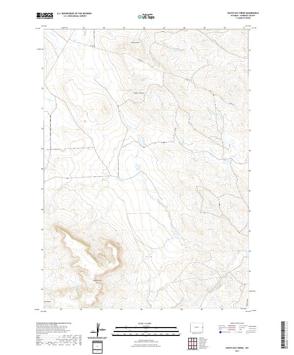
1978 South Oat Creek
Niobrara County, WY
1981 Bills Creek
Niobrara County, WY
1981 Boggy Reservoir
Niobrara County, WY
1981 Bowen Flat
Niobrara County, WY
1981 Buck Creek Hills
Niobrara County, WY
1981 Calf Draw
Niobrara County, WY
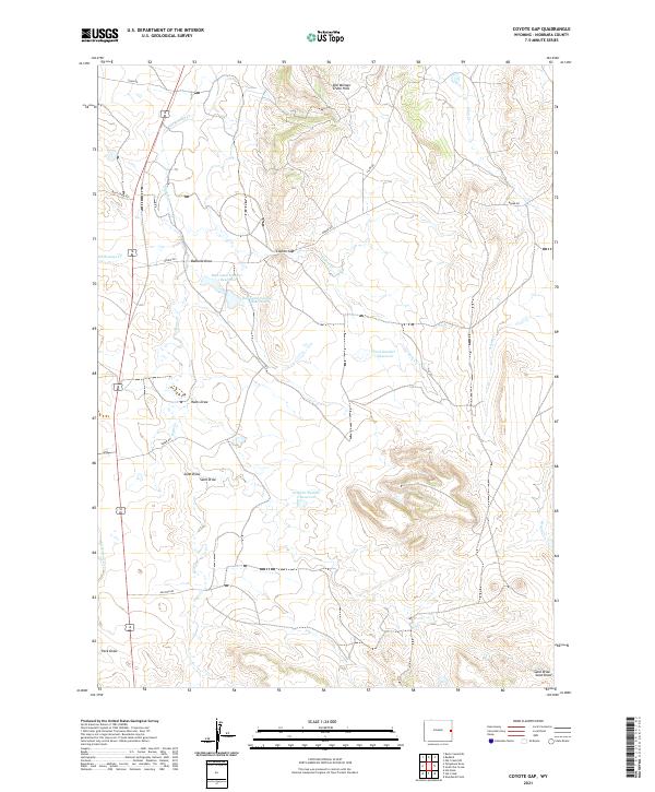
1981 Coyote Gap
Niobrara County, WY
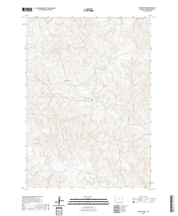
1981 Dixon Ranch
Niobrara County, WY
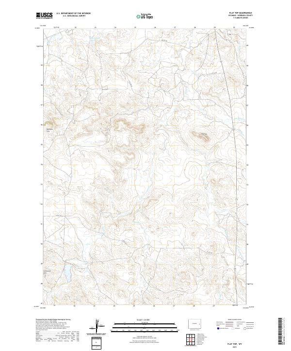
1981 Flat Top
Niobrara County, WY
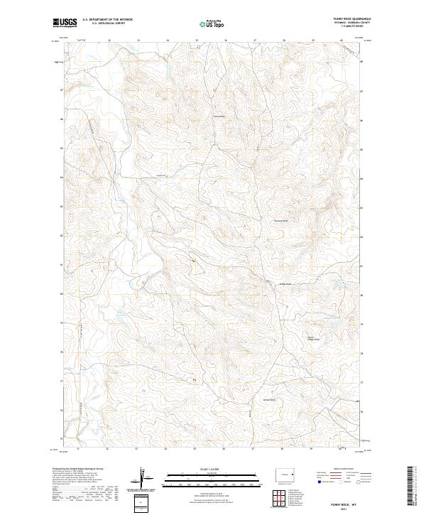
1981 Funny Rock
Niobrara County, WY
1981 Garland Draw
Niobrara County, WY
1981 Greasewood Creek
Niobrara County, WY
1981 Hat Creek
Niobrara County, WY
1981 Hat Rock
Niobrara County, WY
1981 Horseshoe Bend
Niobrara County, WY

1981 Lance Creek NW
Niobrara County, WY
1981 Little Alkali Creek
Niobrara County, WY
1981 Manville NE
Niobrara County, WY
1981 Mercer Draw
Niobrara County, WY
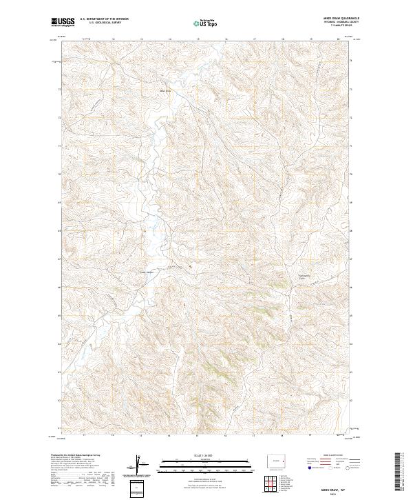
1981 Mikes Draw
Niobrara County, WY
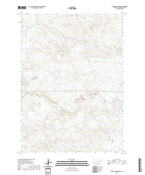
1981 Rabbit Mountains
Niobrara County, WY
1981 Redbird
Niobrara County, WY
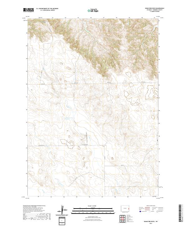
1981 Signature Rock
Niobrara County, WY
1981 Telephone Draw
Niobrara County, WY
1981 Threemile Butte
Niobrara County, WY
1981 Wagonhound Creek NE
Niobrara County, WY
2021 Bills Creek
Niobrara County, WY
2021 Boggy Reservoir
Niobrara County, WY
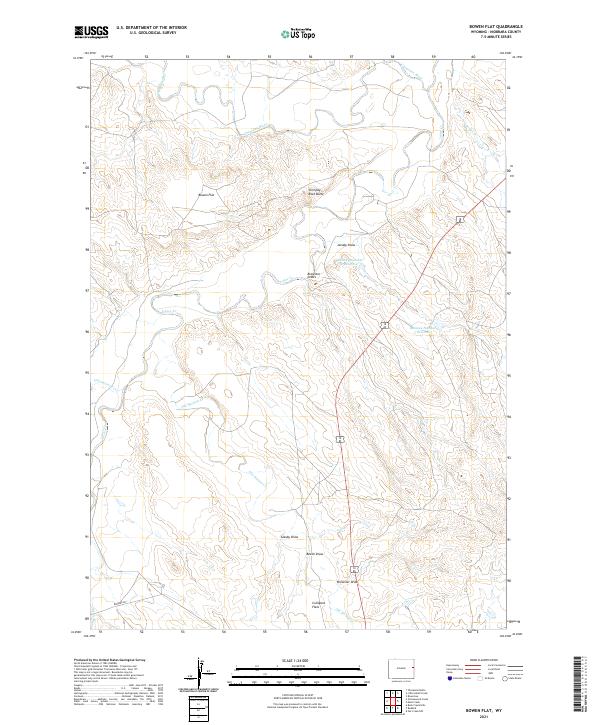
2021 Bowen Flat
Niobrara County, WY
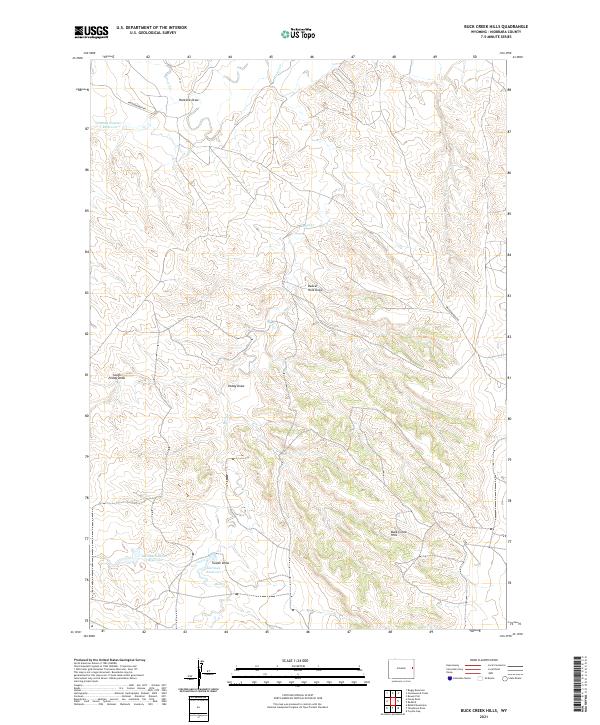
2021 Buck Creek Hills
Niobrara County, WY
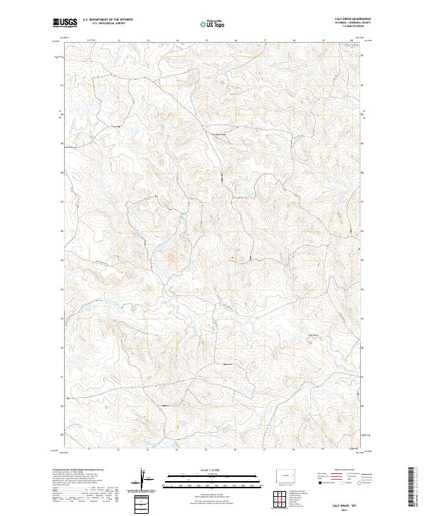
2021 Calf Draw
Niobrara County, WY
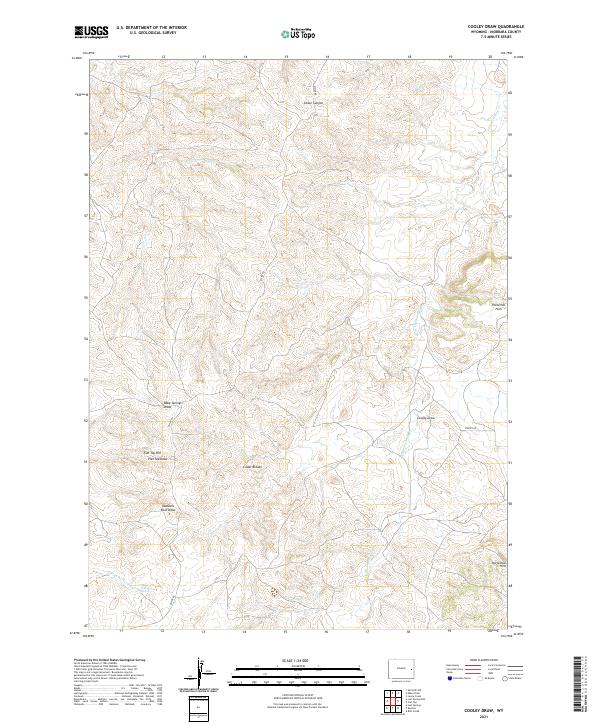
2021 Cooley Draw
Niobrara County, WY
2021 Coyote Gap
Niobrara County, WY
2021 Dixon Ranch
Niobrara County, WY
2021 Flat Top
Niobrara County, WY
2021 Funny Rock
Niobrara County, WY
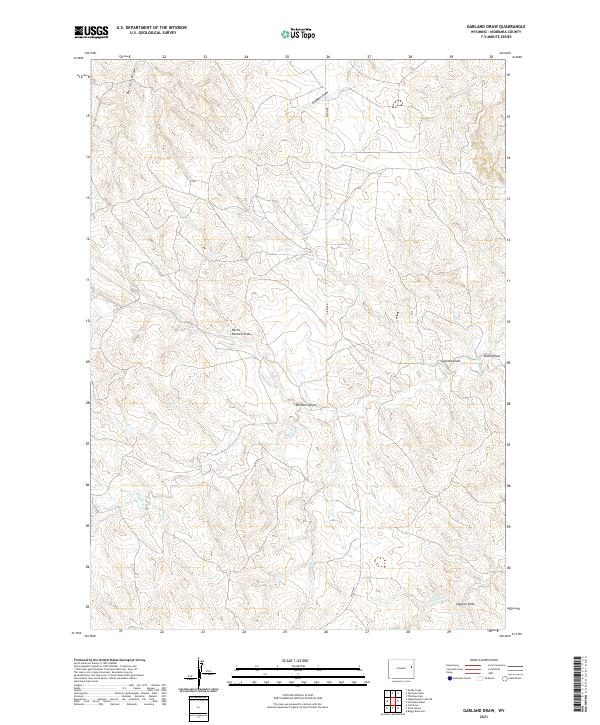
2021 Garland Draw
Niobrara County, WY
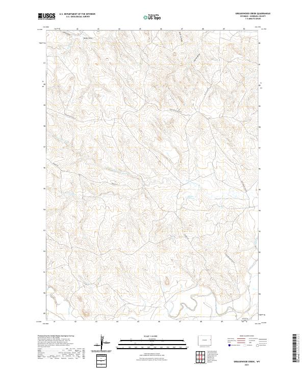
2021 Greasewood Creek
Niobrara County, WY
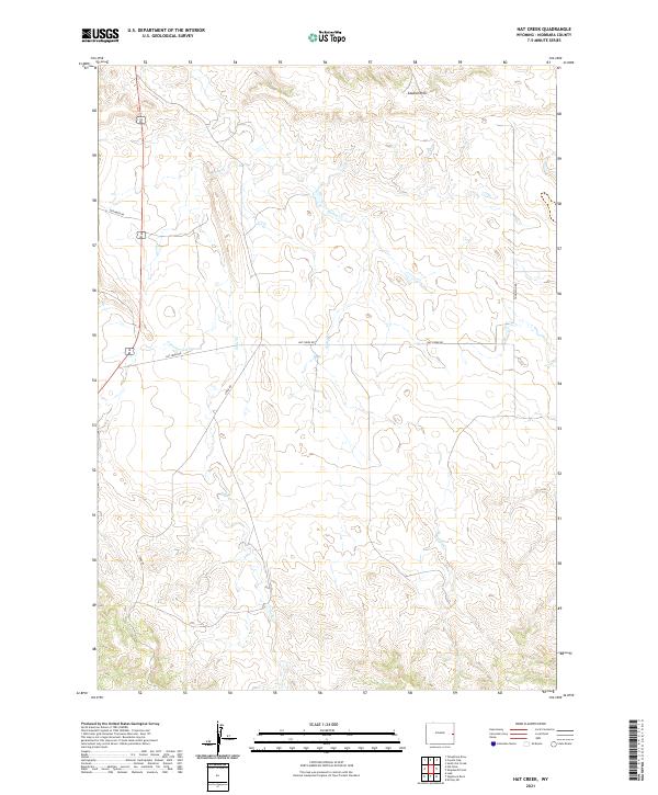
2021 Hat Creek
Niobrara County, WY
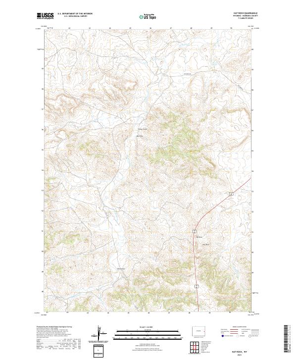
2021 Hat Rock
Niobrara County, WY
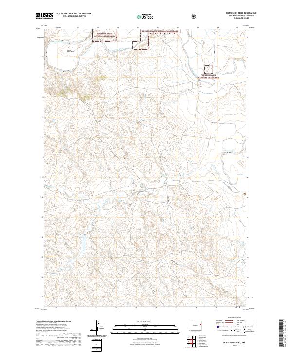
2021 Horseshoe Bend
Niobrara County, WY
2021 Keeline
Niobrara County, WY
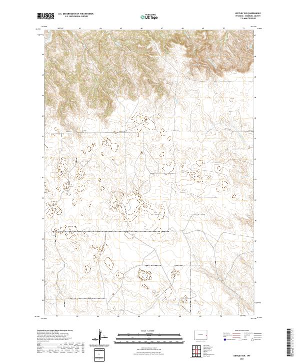
2021 Kirtley SW
Niobrara County, WY
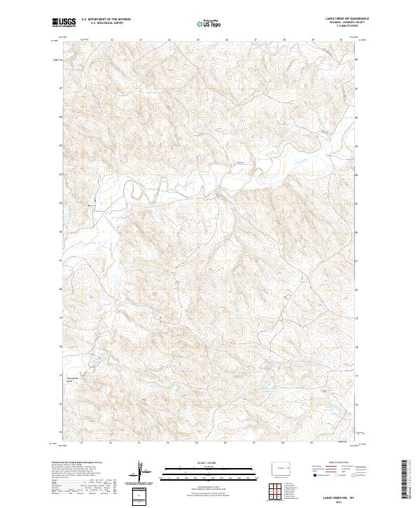
2021 Lance Creek NW
Niobrara County, WY
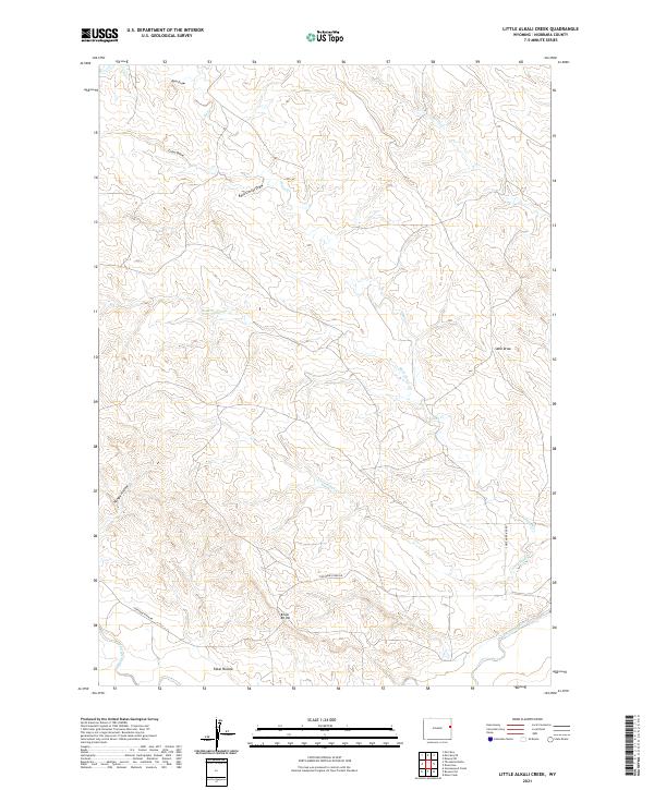
2021 Little Alkali Creek
Niobrara County, WY
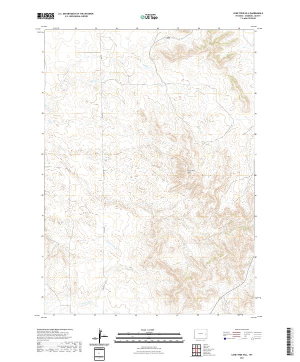
2021 Lone Tree Hill
Niobrara County, WY
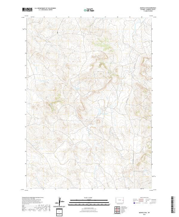
2021 Manville NE
Niobrara County, WY
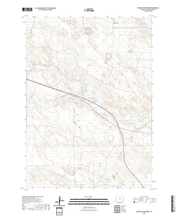
2021 McMaster Reservoir
Niobrara County, WY
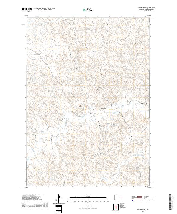
2021 Mercer Draw
Niobrara County, WY
2021 Mikes Draw
Niobrara County, WY
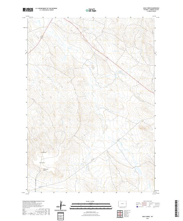
2021 Mule Creek
Niobrara County, WY
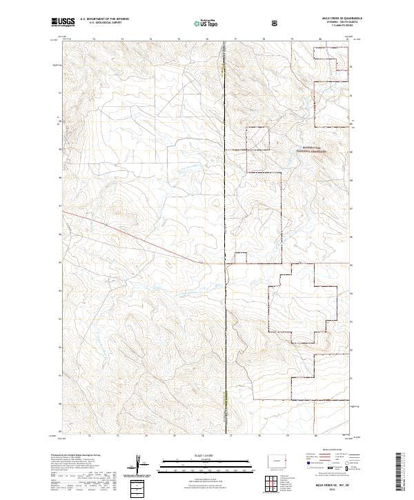
2021 Mule Creek SE
Niobrara County, WY
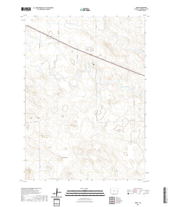
2021 Node
Niobrara County, WY
2021 Oat Creek
Niobrara County, WY
2021 Oat Creek NW
Niobrara County, WY
2021 Prairie View School
Niobrara County, WY
2021 Rabbit Mountains
Niobrara County, WY
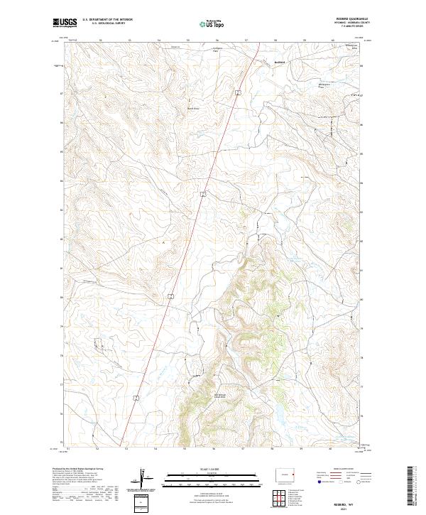
2021 Redbird
Niobrara County, WY
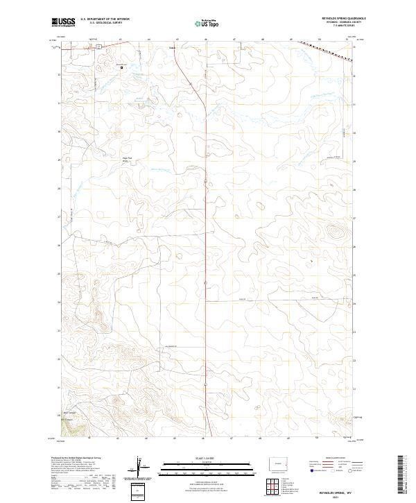
2021 Reynolds Spring
Niobrara County, WY
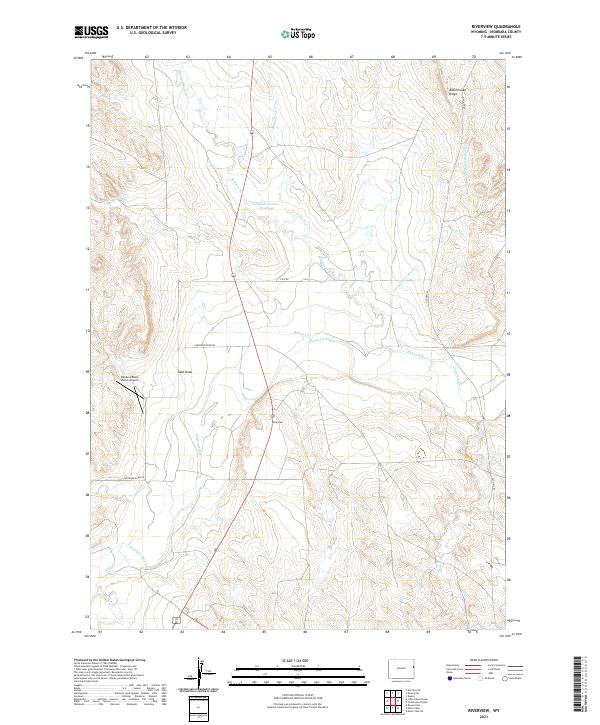
2021 Riverview
Niobrara County, WY
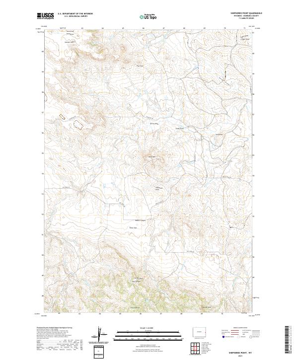
2021 Shepherds Point
Niobrara County, WY
2021 Sherrill Hills
Niobrara County, WY
2021 Signature Rock
Niobrara County, WY
2021 Silver Springs
Niobrara County, WY
2021 South Oat Creek
Niobrara County, WY
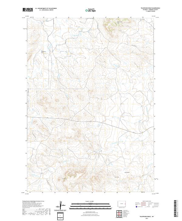
2021 Telephone Draw
Niobrara County, WY
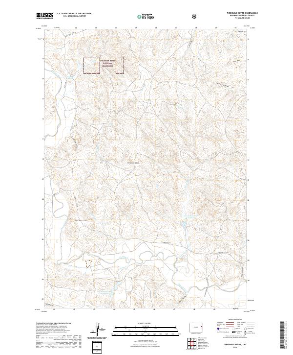
2021 Threemile Butte
Niobrara County, WY
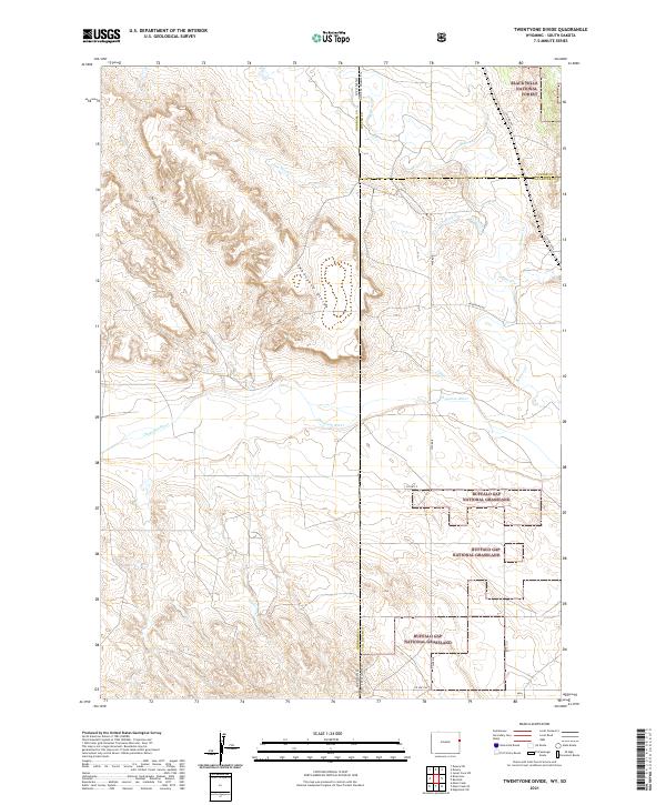
2021 Twentyone Divide
Niobrara County, WY
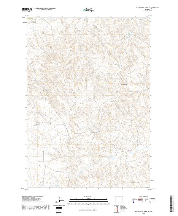
2021 Wagonhound Creek NE
Niobrara County, WY
2023 Kirtley
Niobrara County, WY