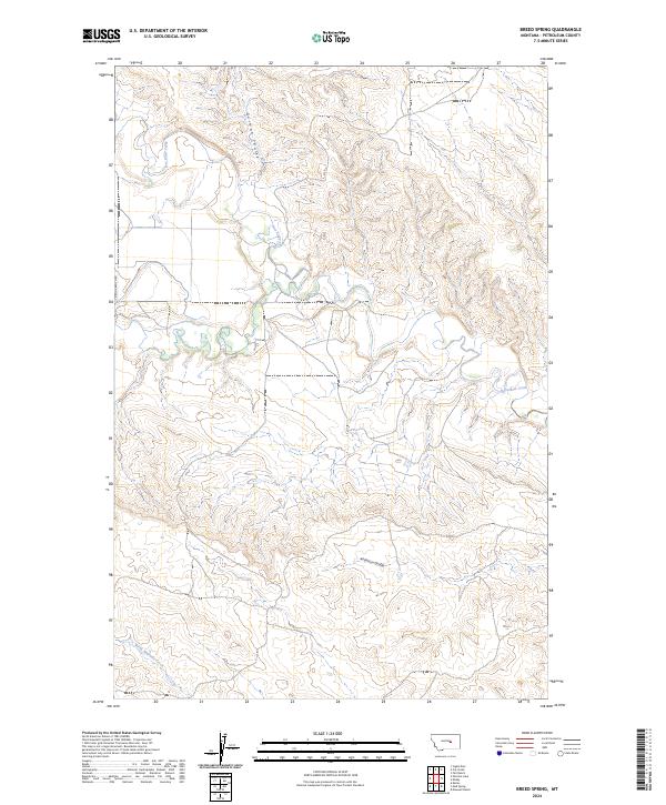
2024 Map of Kelley
USGS Topo · Published 2024About this map
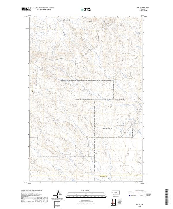
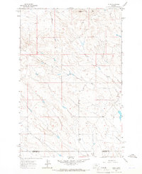
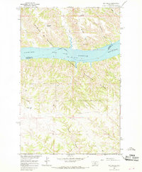
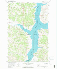
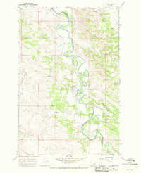
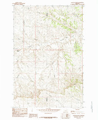
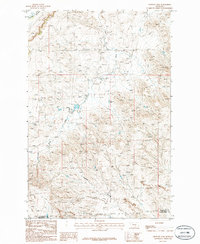
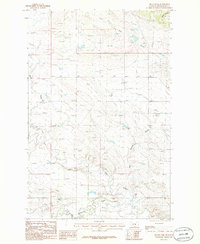
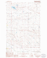
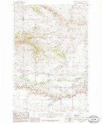
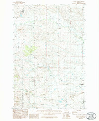
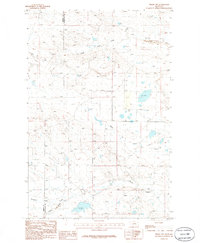
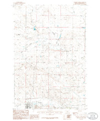
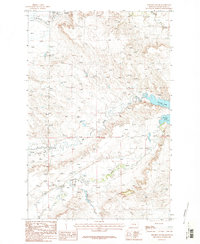
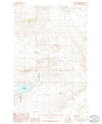
Kelley sits at the heart of this rangeland landscape, where the administrative boundaries of Petroleum Co and Musselshell Co intersect in Central Montana. The terrain is defined by a network of drainage channels that carve through the high plains, including the meandering path of Mud Springs Creek and the deep draws of Johnson Coulee and Salt Sage Coulee. The northern horizon is anchored by the prominent rise of Rattlesnake Butte, a distinct landmark in an area characterized by wide-open cattle country and intermittent waterways.
Find a feature on this map
15 named features on this map. Tap any name to fly to it.
Don’t see what you’re looking for? This feature index may not catch every label — zoom into the map to look around manually.
Map Details
Editions of this 2024 Kelley Map
This is the sole edition of this map. No revisions or reprints were ever made.
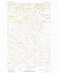
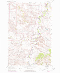
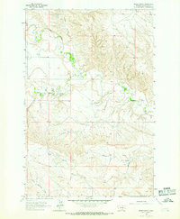
Historical Maps of Kelley Through Time
68 maps found
1962 Maxwell Ranch
Petroleum County, MT
1962 Mosby
Petroleum County, MT
1963 Breed Spring
Petroleum County, MT
1963 Kelley
Petroleum County, MT
1963 Mud Spring
Petroleum County, MT
1963 Petrolia Lake
Petroleum County, MT
1965 Chain Buttes
Petroleum County, MT
1965 Dry Coulee
Petroleum County, MT
1965 Germaine Coulee West
Petroleum County, MT
1965 Weingart Place NW
Petroleum County, MT
1965 Weingart Place
Petroleum County, MT
1967 Fail Ranch
Petroleum County, MT
1971 Hanson Flat
Petroleum County, MT
1985 Brown Spring
Petroleum County, MT
1985 Davis Spring
Petroleum County, MT
1985 Dovetail Butte
Petroleum County, MT
1985 Kirkendal Flat
Petroleum County, MT
1986 Cat Creek NW
Petroleum County, MT
1986 Cat Creek
Petroleum County, MT
1986 Crowley Dam
Petroleum County, MT
1986 Dry Blood Creek East
Petroleum County, MT
1986 Dry Blood Creek West
Petroleum County, MT
1986 Flatwillow
Petroleum County, MT
1986 Ingals Dam
Petroleum County, MT
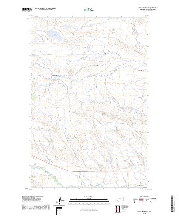
1986 Little Bear Lake
Petroleum County, MT
1986 Pike Creek Hills East
Petroleum County, MT
1986 Snoose Creek
Petroleum County, MT
1986 Teigen NW
Petroleum County, MT
1986 Teigen
Petroleum County, MT
1986 Tin Can Hill
Petroleum County, MT
1986 Wild Horse Lake
Petroleum County, MT
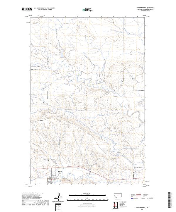
1986 Winnett North
Petroleum County, MT
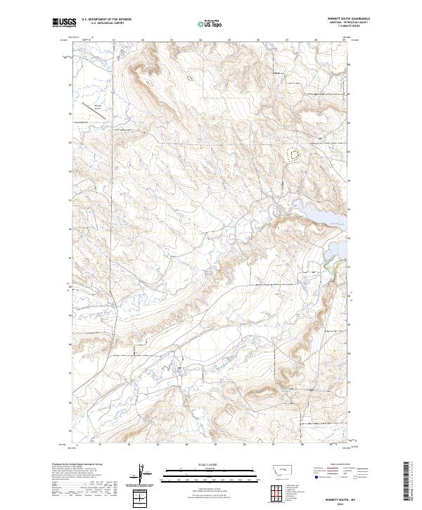
1986 Winnett South
Petroleum County, MT
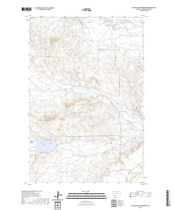
1986 Yellow Water Reservoir
Petroleum County, MT
2024 Breed Spring
Petroleum County, MT
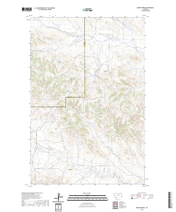
2024 Brown Spring
Petroleum County, MT
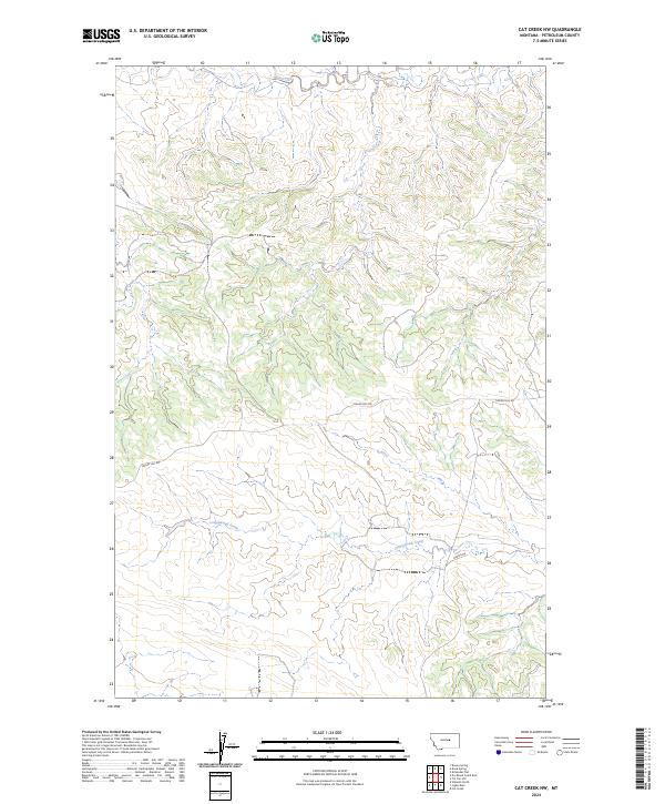
2024 Cat Creek NW
Petroleum County, MT
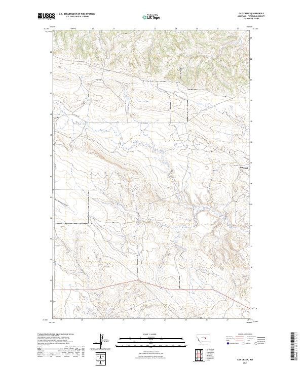
2024 Cat Creek
Petroleum County, MT
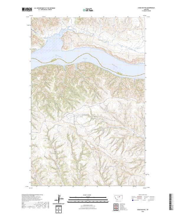
2024 Chain Buttes
Petroleum County, MT
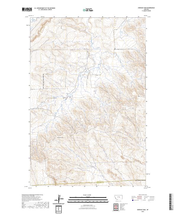
2024 Crowley Dam
Petroleum County, MT
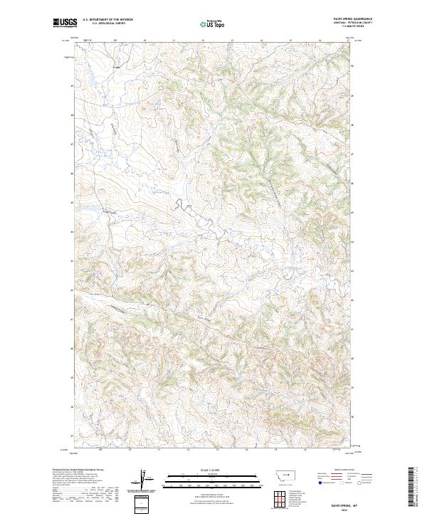
2024 Davis Spring
Petroleum County, MT
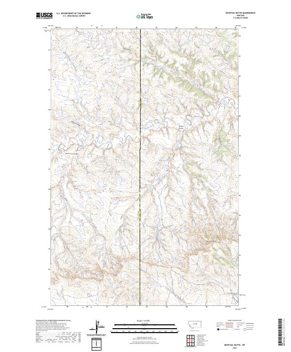
2024 Dovetail Butte
Petroleum County, MT
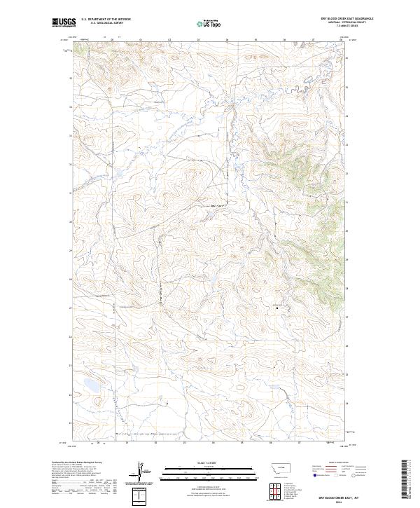
2024 Dry Blood Creek East
Petroleum County, MT
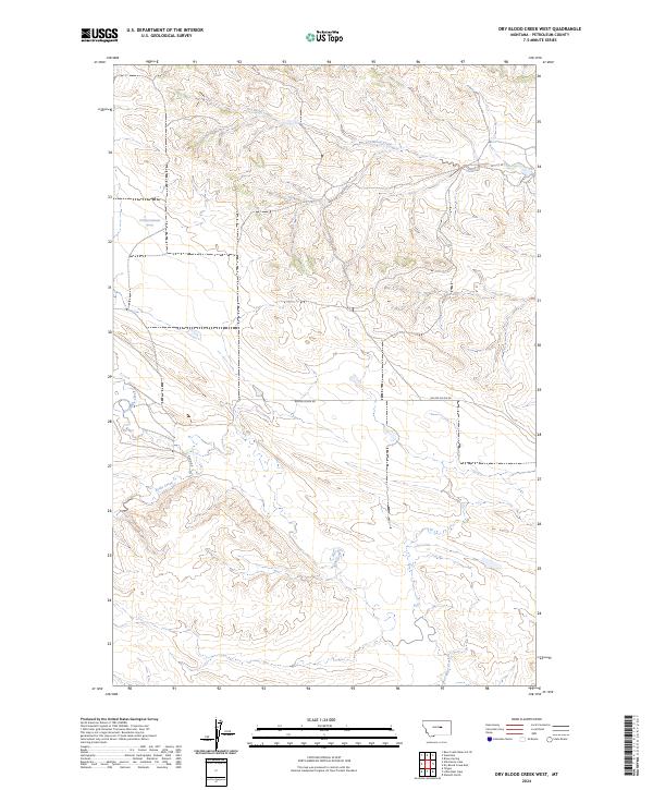
2024 Dry Blood Creek West
Petroleum County, MT
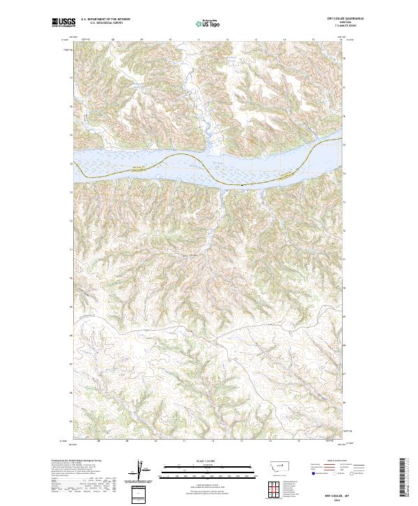
2024 Dry Coulee
Petroleum County, MT
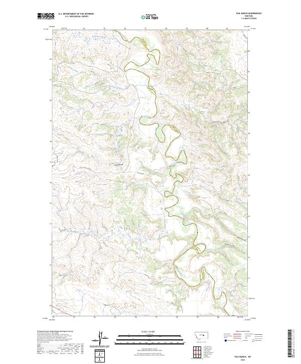
2024 Fail Ranch
Petroleum County, MT
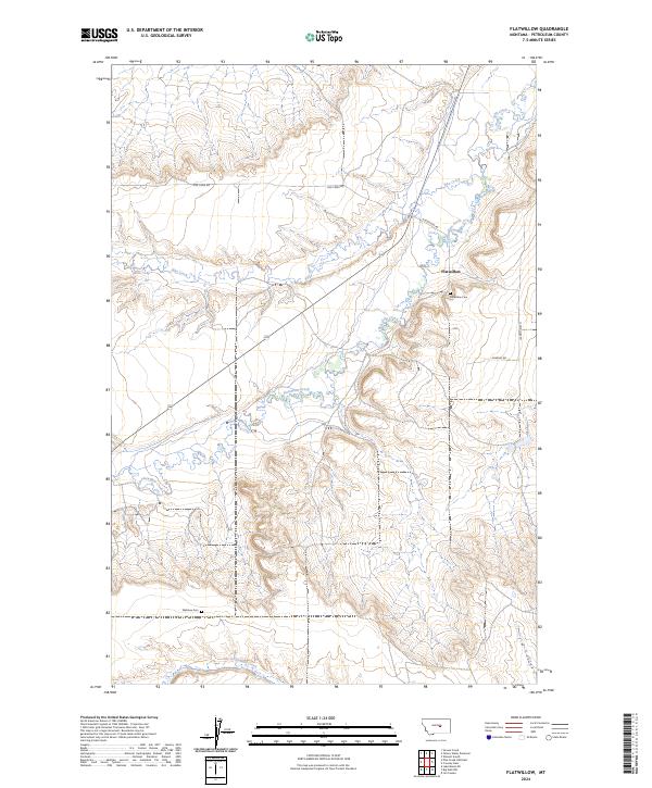
2024 Flatwillow
Petroleum County, MT
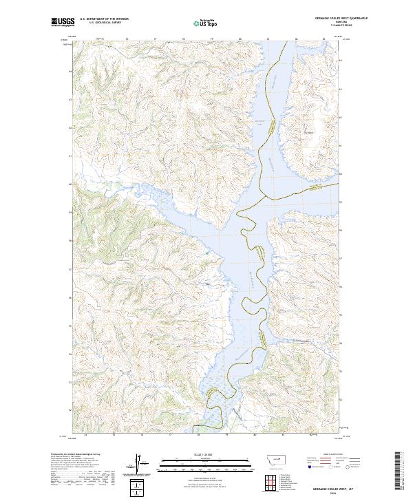
2024 Germaine Coulee West
Petroleum County, MT
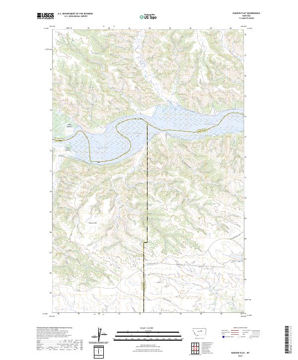
2024 Hanson Flat
Petroleum County, MT
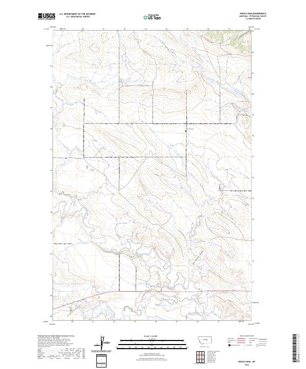
2024 Ingals Dam
Petroleum County, MT
2024 Kelley
Petroleum County, MT
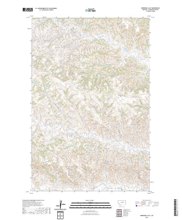
2024 Kirkendal Flat
Petroleum County, MT
2024 Little Bear Lake
Petroleum County, MT
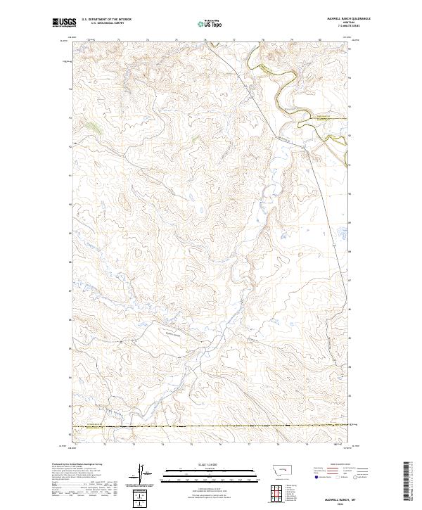
2024 Maxwell Ranch
Petroleum County, MT
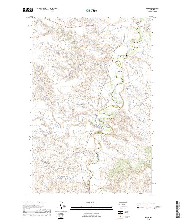
2024 Mosby
Petroleum County, MT
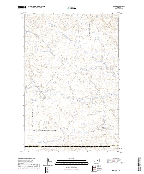
2024 Mud Spring
Petroleum County, MT
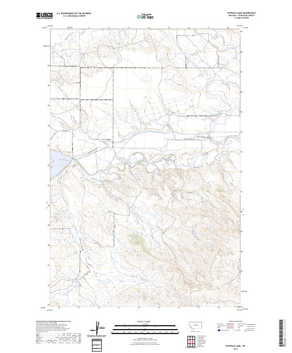
2024 Petrolia Lake
Petroleum County, MT
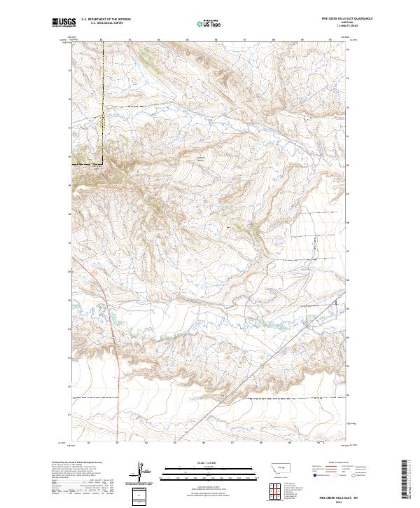
2024 Pike Creek Hills East
Petroleum County, MT
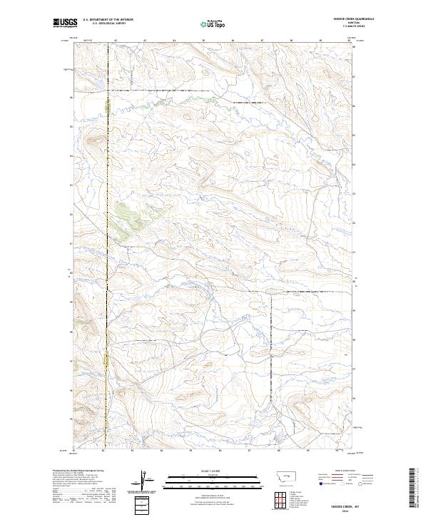
2024 Snoose Creek
Petroleum County, MT
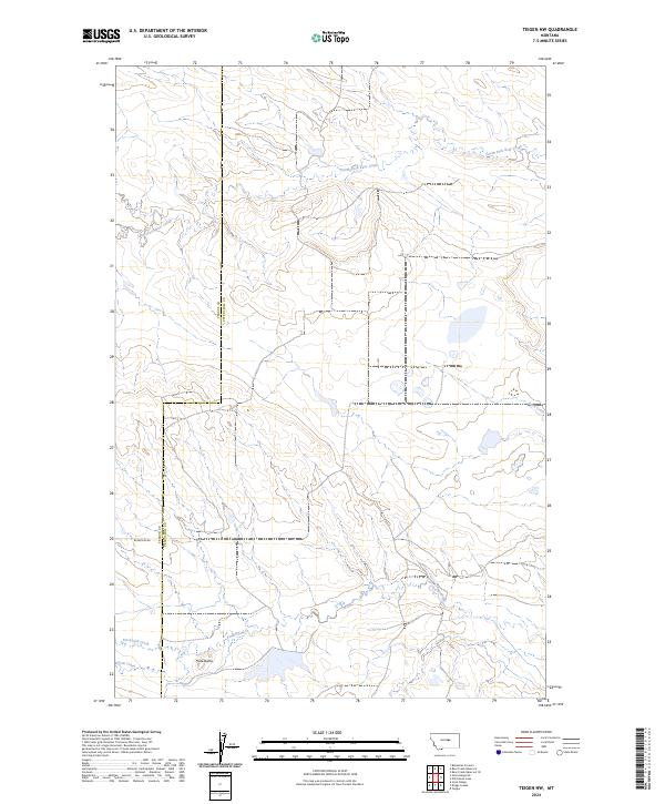
2024 Teigen NW
Petroleum County, MT
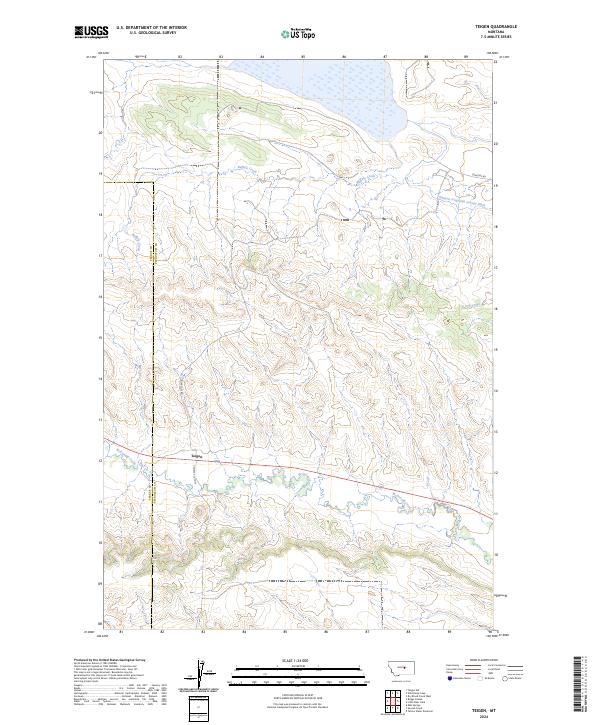
2024 Teigen
Petroleum County, MT
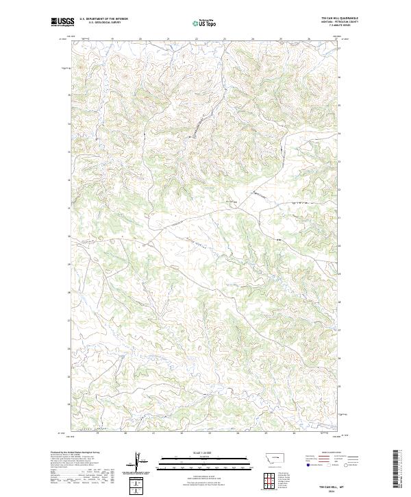
2024 Tin Can Hill
Petroleum County, MT
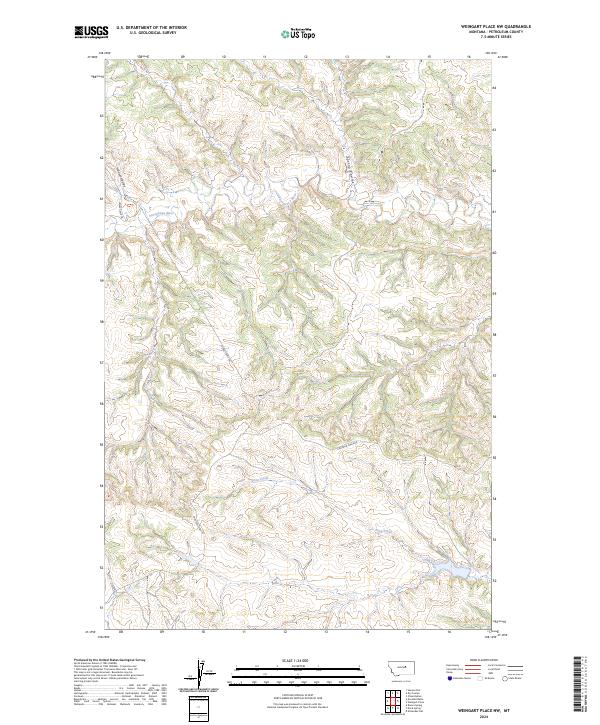
2024 Weingart Place NW
Petroleum County, MT
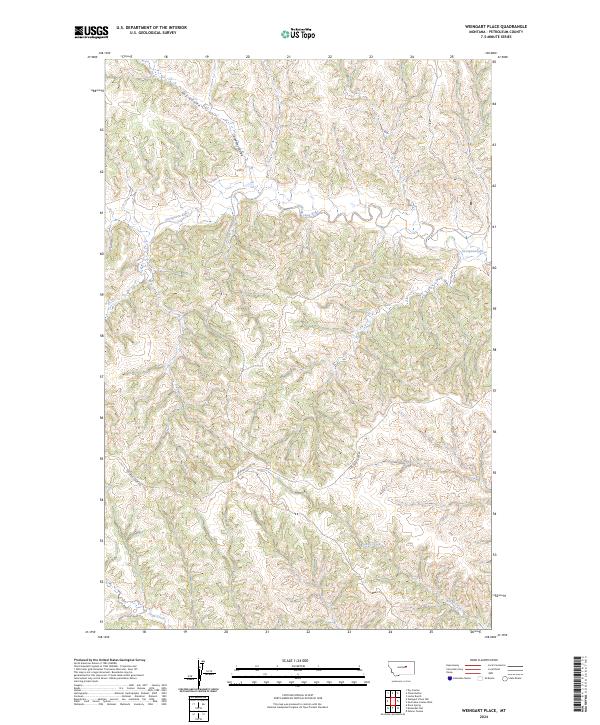
2024 Weingart Place
Petroleum County, MT

2024 Wild Horse Lake
Petroleum County, MT
2024 Winnett North
Petroleum County, MT
2024 Winnett South
Petroleum County, MT
2024 Yellow Water Reservoir
Petroleum County, MT