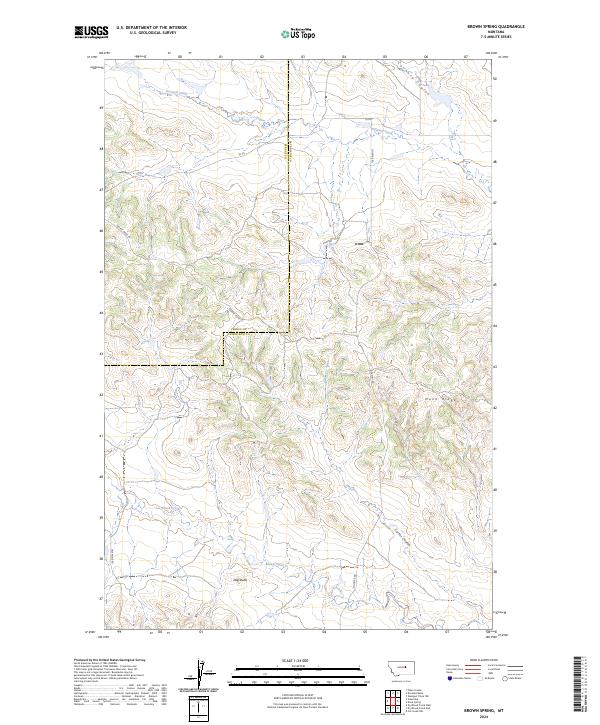
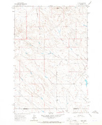
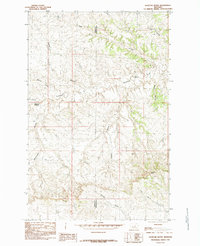
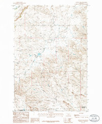
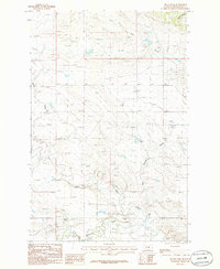
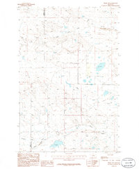
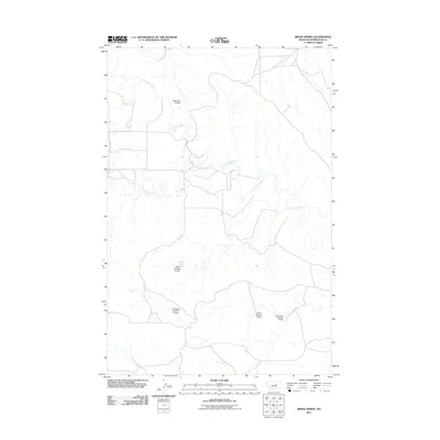
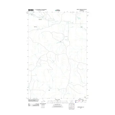
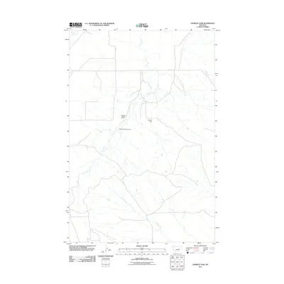
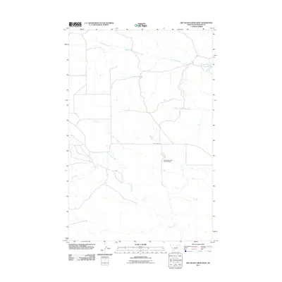
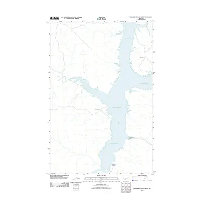
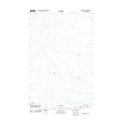
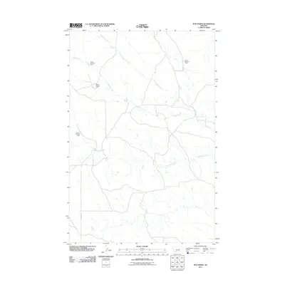
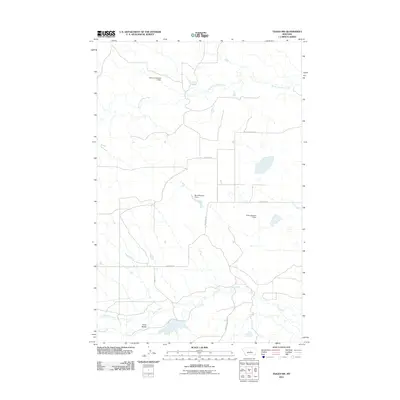
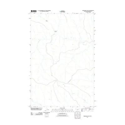
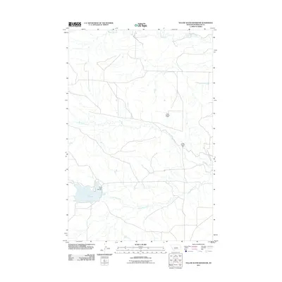
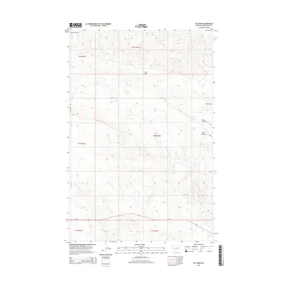
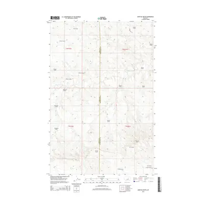
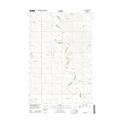
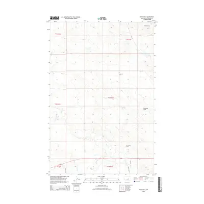
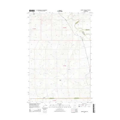
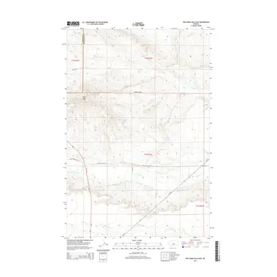
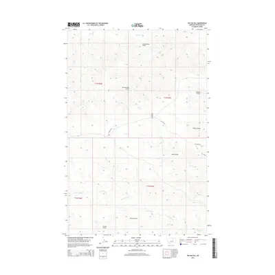
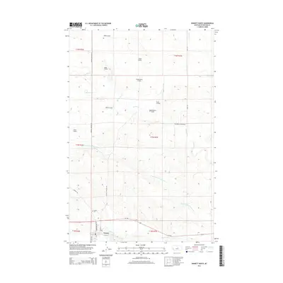
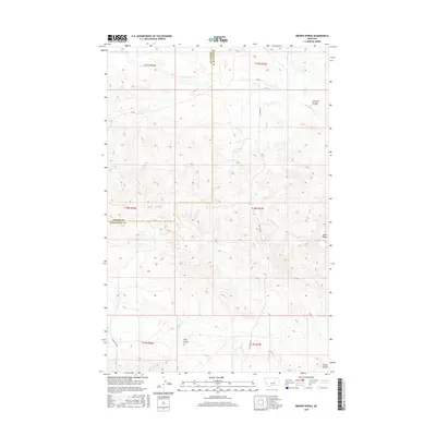
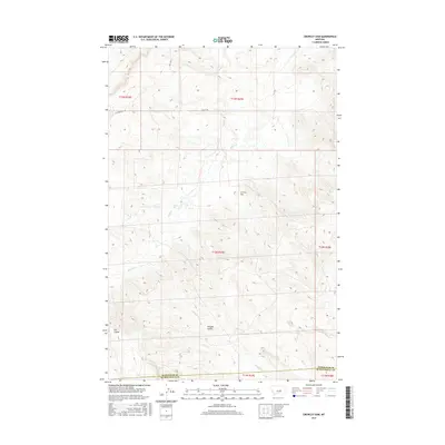
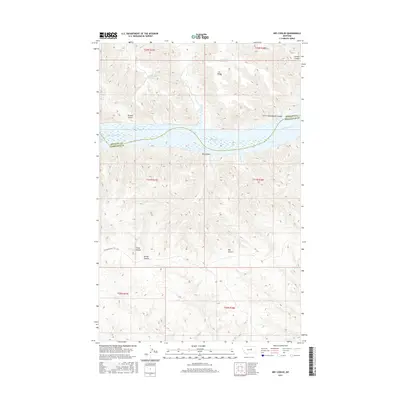
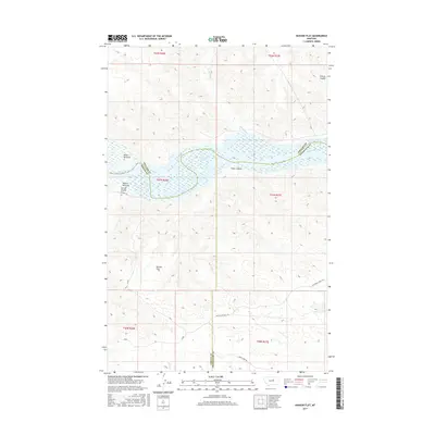
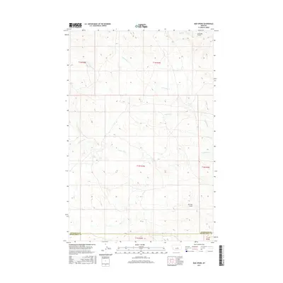
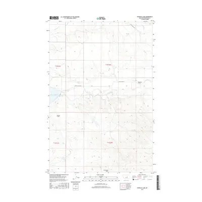
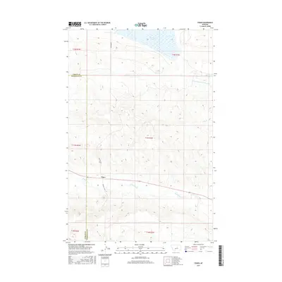
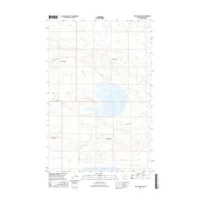
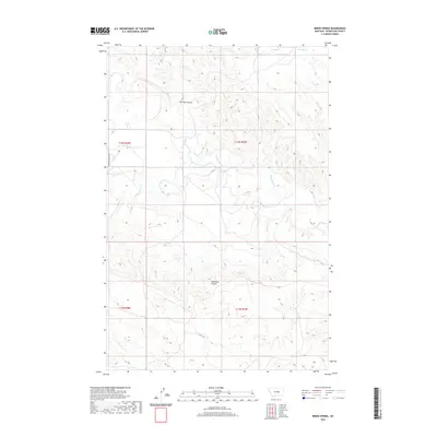
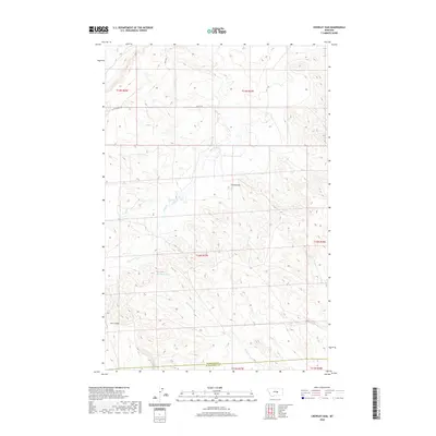
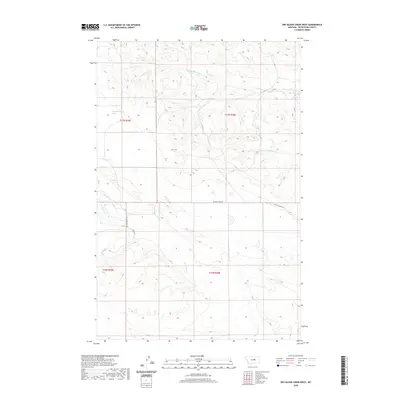
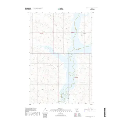
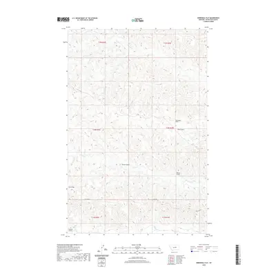
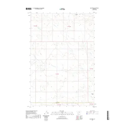
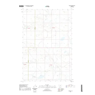
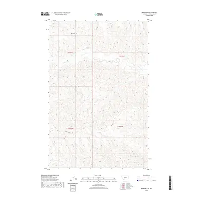
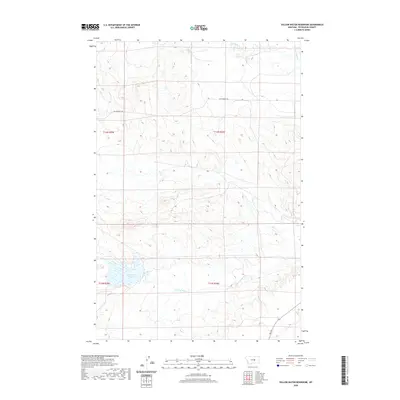
2024 Map of Brown Spring
USGS Topo · Published 2024About this map
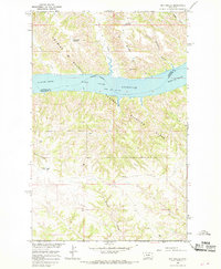
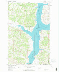
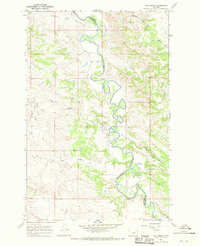
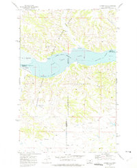
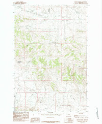
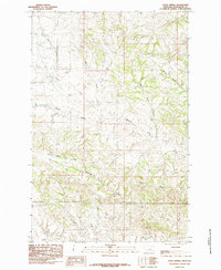
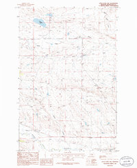
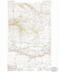
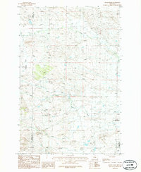
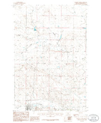
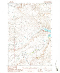
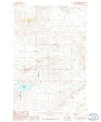
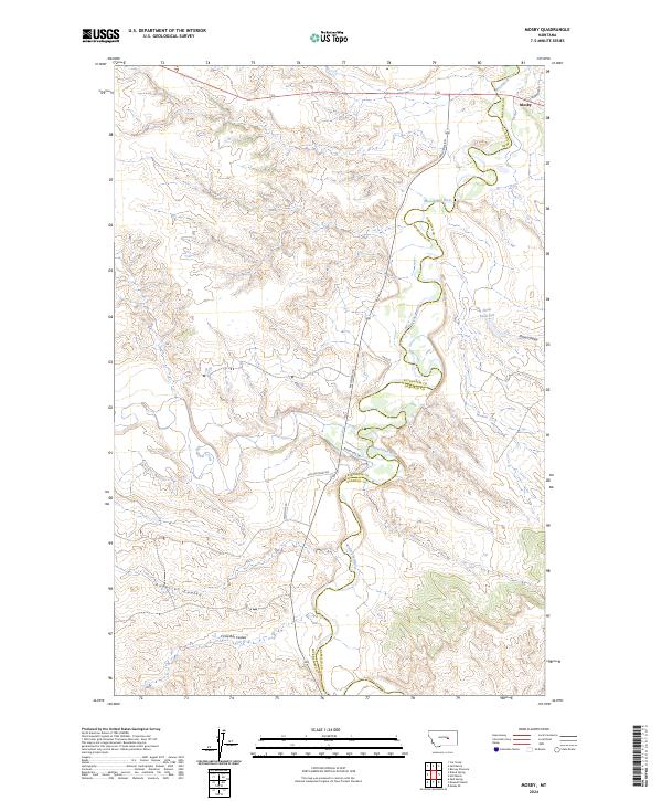
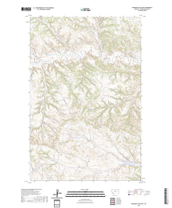
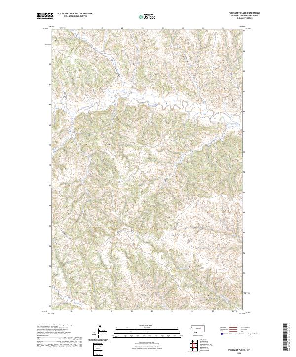
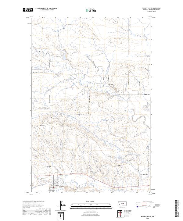
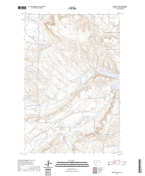
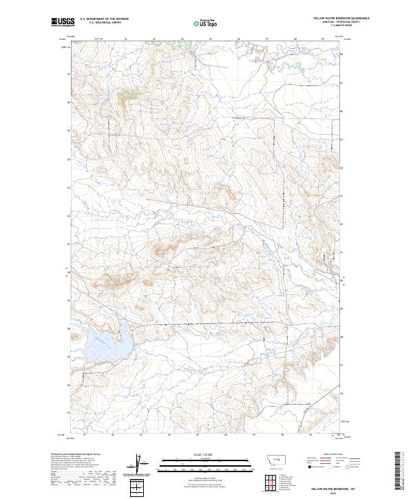
The Fergus and Petroleum County line divides this stretch of Central Montana, defining a landscape of high ridges and deep drainage coulees. The terrain is marked by prominent landmarks such as Dog Butte in the southwest and the winding Dunn Ridge to the east. These geological features dictated the path of early travel, with routes like Dovetail Rd and Valentine Rd following the natural contours of the land.
Find a feature on this map
18 named features on this map. Tap any name to fly to it.
Don’t see what you’re looking for? This feature index may not catch every label — zoom into the map to look around manually.
Map Details
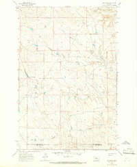
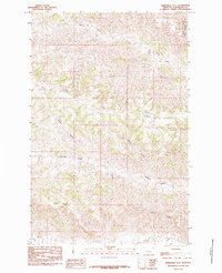
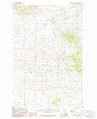
Editions of this 2024 Brown Spring Map
This is the sole edition of this map. No revisions or reprints were ever made.
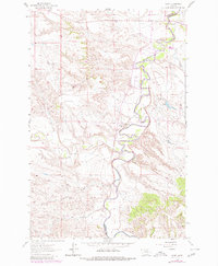
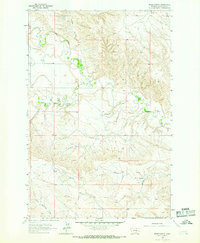
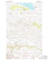
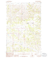
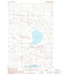
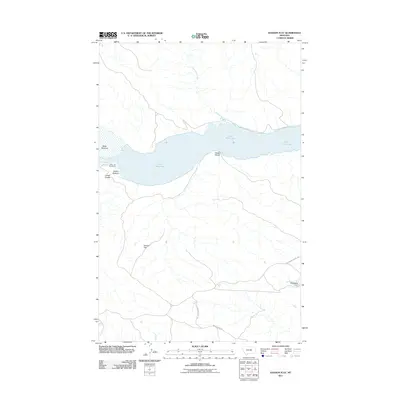
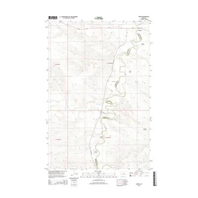
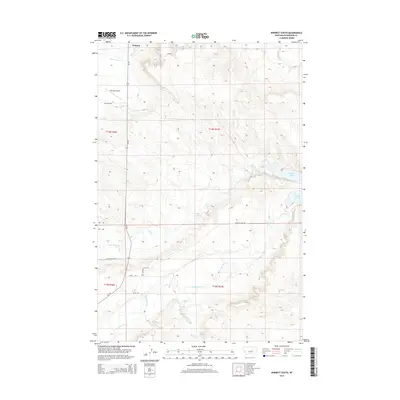
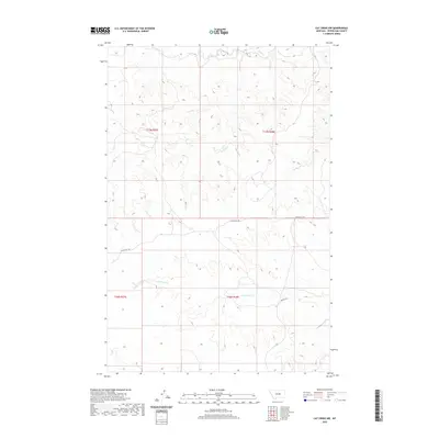
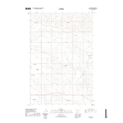
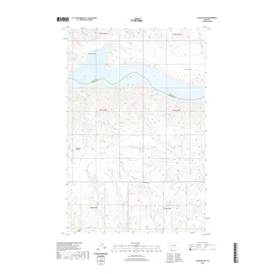
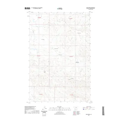
Historical Maps of Fergus County Through Time
204 maps found
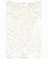
1962 Maxwell Ranch
Petroleum County, MT
1962 Mosby
Petroleum County, MT
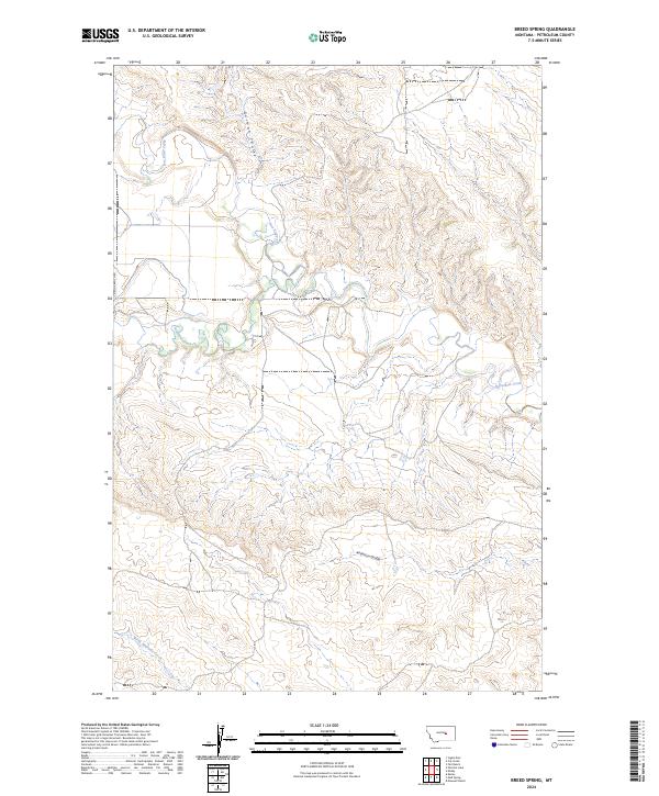
1963 Breed Spring
Petroleum County, MT
1963 Kelley
Petroleum County, MT
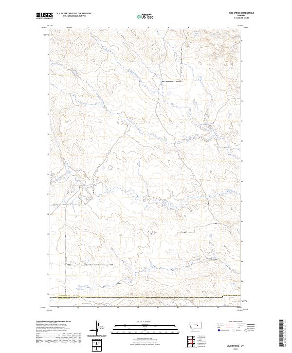
1963 Mud Spring
Petroleum County, MT
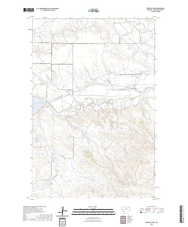
1963 Petrolia Lake
Petroleum County, MT
1965 Chain Buttes
Petroleum County, MT
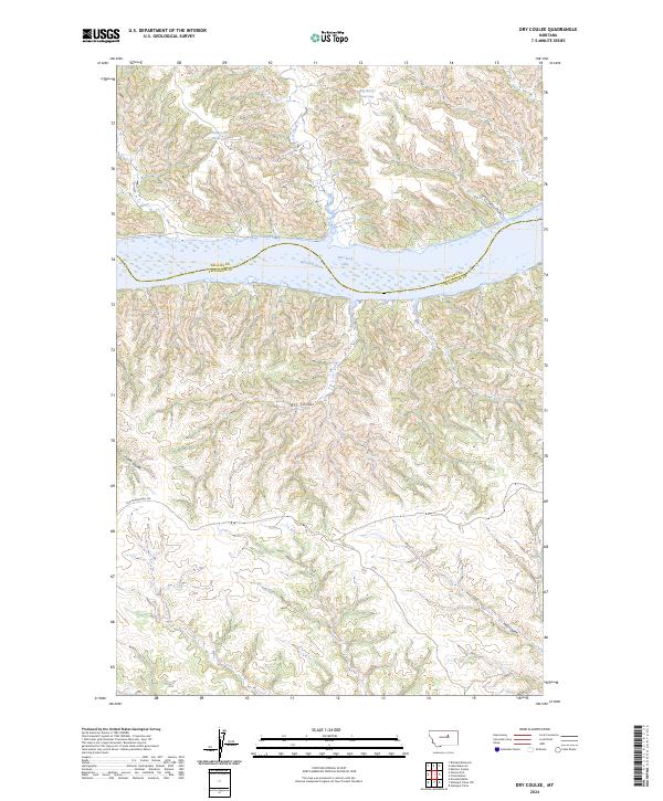
1965 Dry Coulee
Petroleum County, MT
1965 Germaine Coulee West
Petroleum County, MT
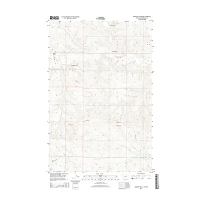
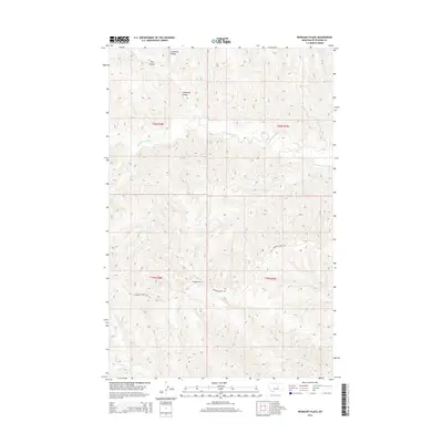
1965 Weingart Place NW
Petroleum County, MT
1965 Weingart Place
Petroleum County, MT
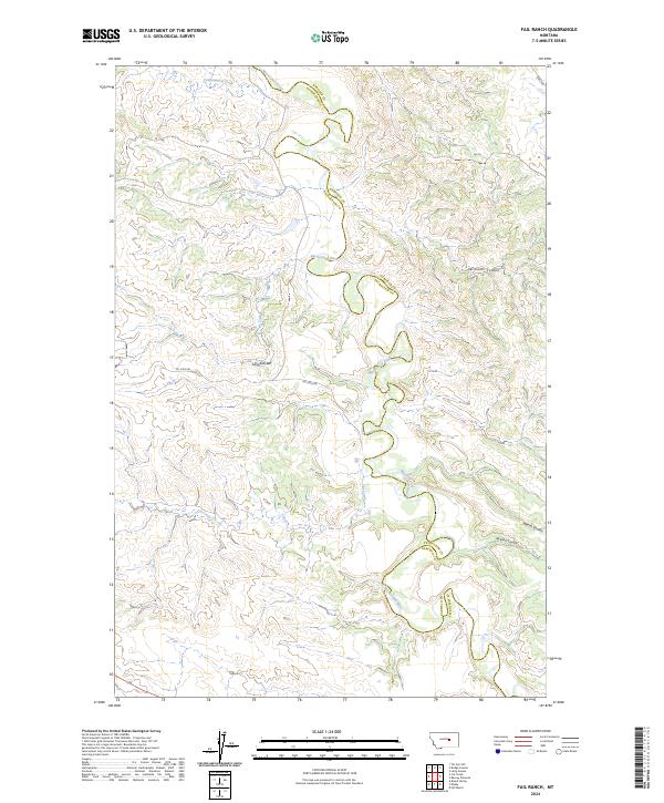
1967 Fail Ranch
Petroleum County, MT
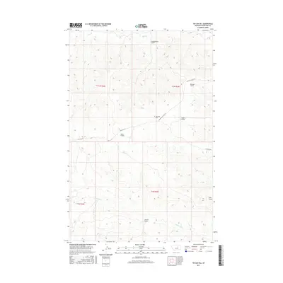
1971 Hanson Flat
Petroleum County, MT
1985 Brown Spring
Petroleum County, MT
1985 Davis Spring
Petroleum County, MT
1985 Dovetail Butte
Petroleum County, MT
1985 Kirkendal Flat
Petroleum County, MT
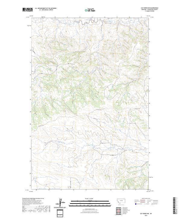
1986 Cat Creek NW
Petroleum County, MT
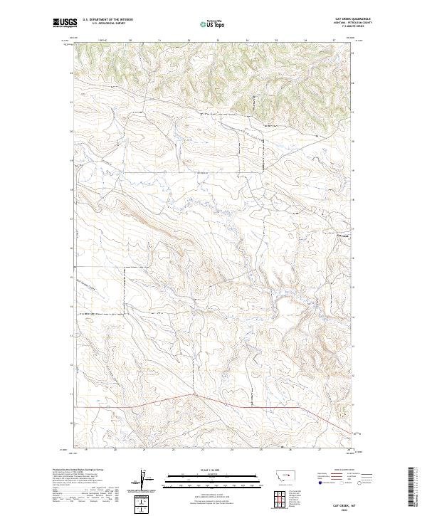
1986 Cat Creek
Petroleum County, MT
1986 Crowley Dam
Petroleum County, MT
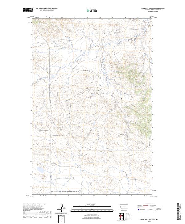
1986 Dry Blood Creek East
Petroleum County, MT
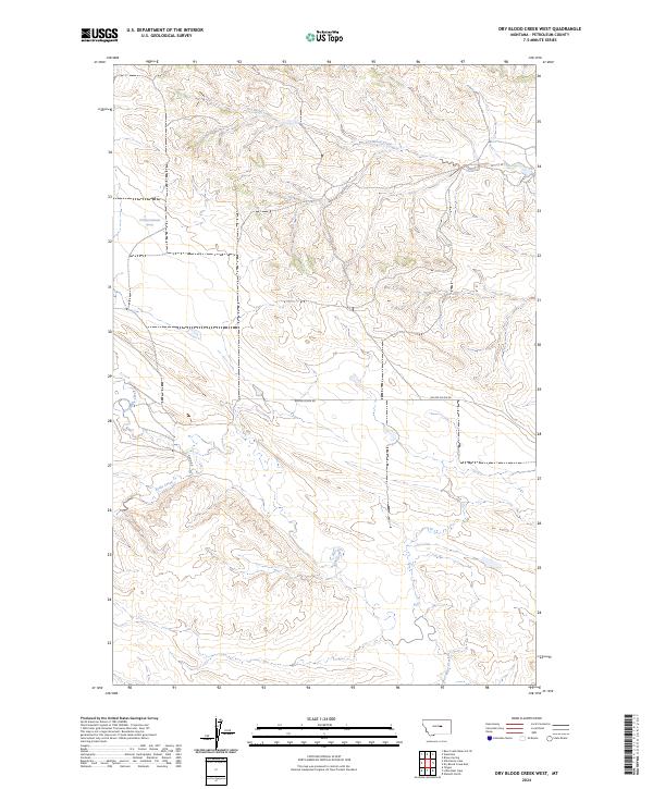
1986 Dry Blood Creek West
Petroleum County, MT
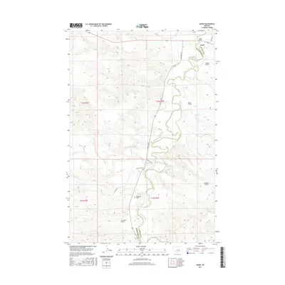
1986 Flatwillow
Petroleum County, MT
1986 Ingals Dam
Petroleum County, MT
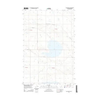
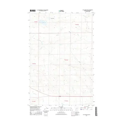
1986 Little Bear Lake
Petroleum County, MT
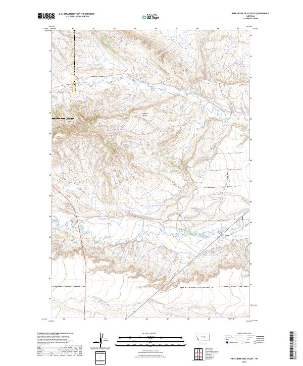
1986 Pike Creek Hills East
Petroleum County, MT
1986 Snoose Creek
Petroleum County, MT
1986 Teigen NW
Petroleum County, MT
1986 Teigen
Petroleum County, MT
1986 Tin Can Hill
Petroleum County, MT
1986 Wild Horse Lake
Petroleum County, MT
1986 Winnett North
Petroleum County, MT
1986 Winnett South
Petroleum County, MT
1986 Yellow Water Reservoir
Petroleum County, MT
2011 Breed Spring
Petroleum County, MT
2011 Brown Spring
Petroleum County, MT
2011 Cat Creek NW
Petroleum County, MT
2011 Cat Creek
Petroleum County, MT
2011 Chain Buttes
Petroleum County, MT
2011 Crowley Dam
Petroleum County, MT
2011 Davis Spring
Petroleum County, MT
2011 Dovetail Butte
Petroleum County, MT
2011 Dry Blood Creek East
Petroleum County, MT
2011 Dry Blood Creek West
Petroleum County, MT
2011 Dry Coulee
Petroleum County, MT
2011 Fail Ranch
Petroleum County, MT
2011 Flatwillow
Petroleum County, MT
2011 Germaine Coulee West
Petroleum County, MT
2011 Hanson Flat
Petroleum County, MT
2011 Ingals Dam
Petroleum County, MT
2011 Kelley
Petroleum County, MT
2011 Kirkendal Flat
Petroleum County, MT
2011 Little Bear Lake
Petroleum County, MT
2011 Maxwell Ranch
Petroleum County, MT
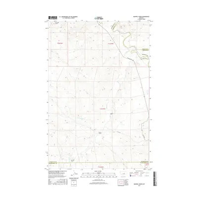
2011 Mosby
Petroleum County, MT
2011 Mud Spring
Petroleum County, MT
2011 Petrolia Lake
Petroleum County, MT
2011 Pike Creek Hills East
Petroleum County, MT
2011 Snoose Creek
Petroleum County, MT
2011 Teigen NW
Petroleum County, MT
2011 Teigen
Petroleum County, MT
2011 Tin Can Hill
Petroleum County, MT
2011 Weingart Place NW
Petroleum County, MT
2011 Weingart Place
Petroleum County, MT
2011 Wild Horse Lake
Petroleum County, MT
2011 Winnett North
Petroleum County, MT
2011 Winnett South
Petroleum County, MT
2011 Yellow Water Reservoir
Petroleum County, MT
2014 Breed Spring
Petroleum County, MT
2014 Brown Spring
Petroleum County, MT
2014 Cat Creek NW
Petroleum County, MT
2014 Cat Creek
Petroleum County, MT
2014 Chain Buttes
Petroleum County, MT
2014 Crowley Dam
Petroleum County, MT
2014 Davis Spring
Petroleum County, MT
2014 Dovetail Butte
Petroleum County, MT
2014 Dry Blood Creek East
Petroleum County, MT
2014 Dry Blood Creek West
Petroleum County, MT
2014 Dry Coulee
Petroleum County, MT
2014 Fail Ranch
Petroleum County, MT
2014 Flatwillow
Petroleum County, MT
2014 Germaine Coulee West
Petroleum County, MT
2014 Hanson Flat
Petroleum County, MT
2014 Ingals Dam
Petroleum County, MT
2014 Kelley
Petroleum County, MT
2014 Kirkendal Flat
Petroleum County, MT
2014 Little Bear Lake
Petroleum County, MT
2014 Maxwell Ranch
Petroleum County, MT
2014 Mosby
Petroleum County, MT
2014 Mud Spring
Petroleum County, MT
2014 Petrolia Lake
Petroleum County, MT
2014 Pike Creek Hills East
Petroleum County, MT
2014 Snoose Creek
Petroleum County, MT
2014 Teigen NW
Petroleum County, MT
2014 Teigen
Petroleum County, MT
2014 Tin Can Hill
Petroleum County, MT
2014 Weingart Place NW
Petroleum County, MT
2014 Weingart Place
Petroleum County, MT
2014 Wild Horse Lake
Petroleum County, MT
2014 Winnett North
Petroleum County, MT
2014 Winnett South
Petroleum County, MT
2014 Yellow Water Reservoir
Petroleum County, MT
2017 Breed Spring
Petroleum County, MT
2017 Brown Spring
Petroleum County, MT
2017 Cat Creek NW
Petroleum County, MT
2017 Cat Creek
Petroleum County, MT
2017 Chain Buttes
Petroleum County, MT
2017 Crowley Dam
Petroleum County, MT

2017 Davis Spring
Petroleum County, MT
2017 Dovetail Butte
Petroleum County, MT
2017 Dry Blood Creek East
Petroleum County, MT
2017 Dry Blood Creek West
Petroleum County, MT
2017 Dry Coulee
Petroleum County, MT
2017 Fail Ranch
Petroleum County, MT
2017 Flatwillow
Petroleum County, MT
2017 Germaine Coulee West
Petroleum County, MT
2017 Hanson Flat
Petroleum County, MT
2017 Ingals Dam
Petroleum County, MT
2017 Kelley
Petroleum County, MT
2017 Kirkendal Flat
Petroleum County, MT
2017 Little Bear Lake
Petroleum County, MT
2017 Maxwell Ranch
Petroleum County, MT
2017 Mosby
Petroleum County, MT
2017 Mud Spring
Petroleum County, MT
2017 Petrolia Lake
Petroleum County, MT
2017 Pike Creek Hills East
Petroleum County, MT
2017 Snoose Creek
Petroleum County, MT
2017 Teigen NW
Petroleum County, MT
2017 Teigen
Petroleum County, MT
2017 Tin Can Hill
Petroleum County, MT
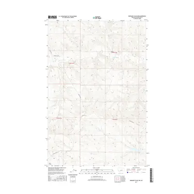
2017 Weingart Place NW
Petroleum County, MT
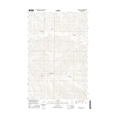
2017 Weingart Place
Petroleum County, MT
2017 Wild Horse Lake
Petroleum County, MT
2017 Winnett North
Petroleum County, MT
2017 Winnett South
Petroleum County, MT
2017 Yellow Water Reservoir
Petroleum County, MT
2020 Breed Spring
Petroleum County, MT

2020 Brown Spring
Petroleum County, MT
2020 Cat Creek NW
Petroleum County, MT
2020 Cat Creek
Petroleum County, MT
2020 Chain Buttes
Petroleum County, MT
2020 Crowley Dam
Petroleum County, MT
2020 Davis Spring
Petroleum County, MT
2020 Dovetail Butte
Petroleum County, MT
2020 Dry Blood Creek East
Petroleum County, MT
2020 Dry Blood Creek West
Petroleum County, MT
2020 Dry Coulee
Petroleum County, MT
2020 Fail Ranch
Petroleum County, MT
2020 Flatwillow
Petroleum County, MT
2020 Germaine Coulee West
Petroleum County, MT
2020 Hanson Flat
Petroleum County, MT
2020 Ingals Dam
Petroleum County, MT
2020 Kelley
Petroleum County, MT
2020 Kirkendal Flat
Petroleum County, MT
2020 Little Bear Lake
Petroleum County, MT
2020 Maxwell Ranch
Petroleum County, MT
2020 Mosby
Petroleum County, MT
2020 Mud Spring
Petroleum County, MT
2020 Petrolia Lake
Petroleum County, MT
2020 Pike Creek Hills East
Petroleum County, MT
2020 Snoose Creek
Petroleum County, MT
2020 Teigen NW
Petroleum County, MT
2020 Teigen
Petroleum County, MT
2020 Tin Can Hill
Petroleum County, MT
2020 Weingart Place NW
Petroleum County, MT
2020 Weingart Place
Petroleum County, MT
2020 Wild Horse Lake
Petroleum County, MT
2020 Winnett North
Petroleum County, MT
2020 Winnett South
Petroleum County, MT
2020 Yellow Water Reservoir
Petroleum County, MT
2024 Breed Spring
Petroleum County, MT
2024 Brown Spring
Petroleum County, MT
2024 Cat Creek NW
Petroleum County, MT
2024 Cat Creek
Petroleum County, MT
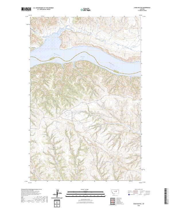
2024 Chain Buttes
Petroleum County, MT
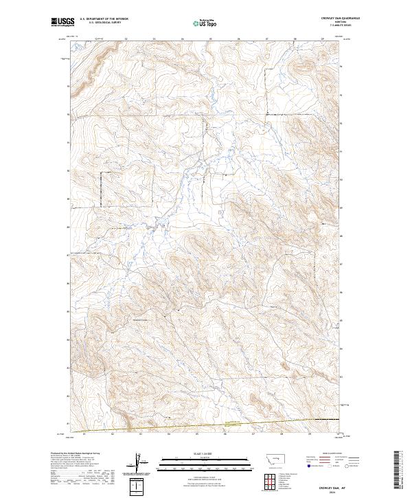
2024 Crowley Dam
Petroleum County, MT
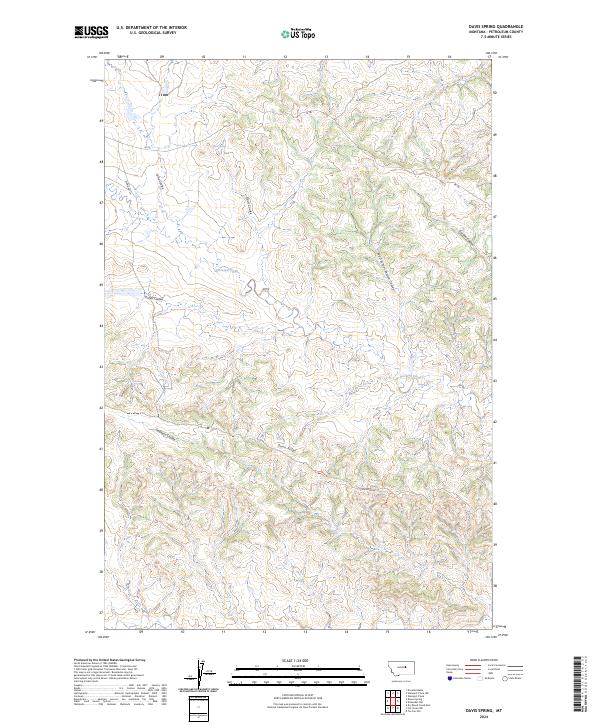
2024 Davis Spring
Petroleum County, MT
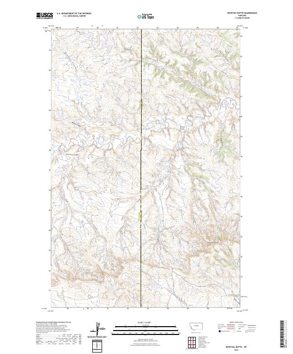
2024 Dovetail Butte
Petroleum County, MT
2024 Dry Blood Creek East
Petroleum County, MT
2024 Dry Blood Creek West
Petroleum County, MT
2024 Dry Coulee
Petroleum County, MT
2024 Fail Ranch
Petroleum County, MT
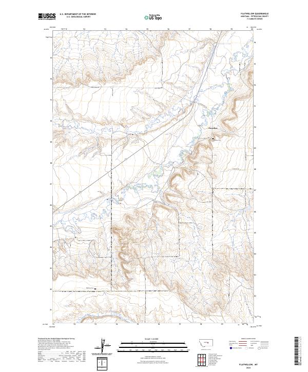
2024 Flatwillow
Petroleum County, MT
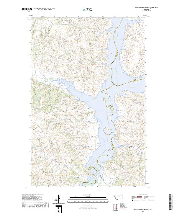
2024 Germaine Coulee West
Petroleum County, MT
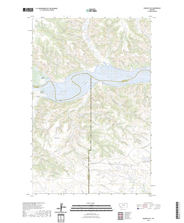
2024 Hanson Flat
Petroleum County, MT
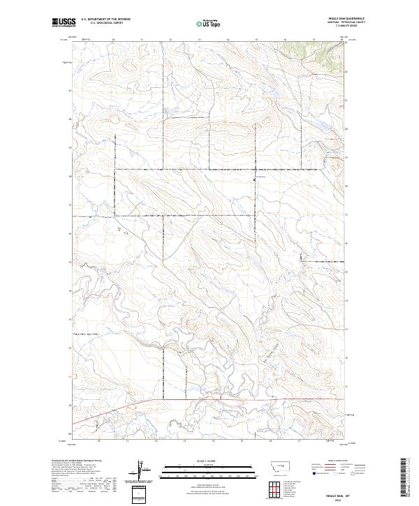
2024 Ingals Dam
Petroleum County, MT
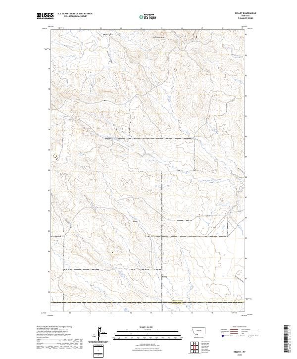
2024 Kelley
Petroleum County, MT
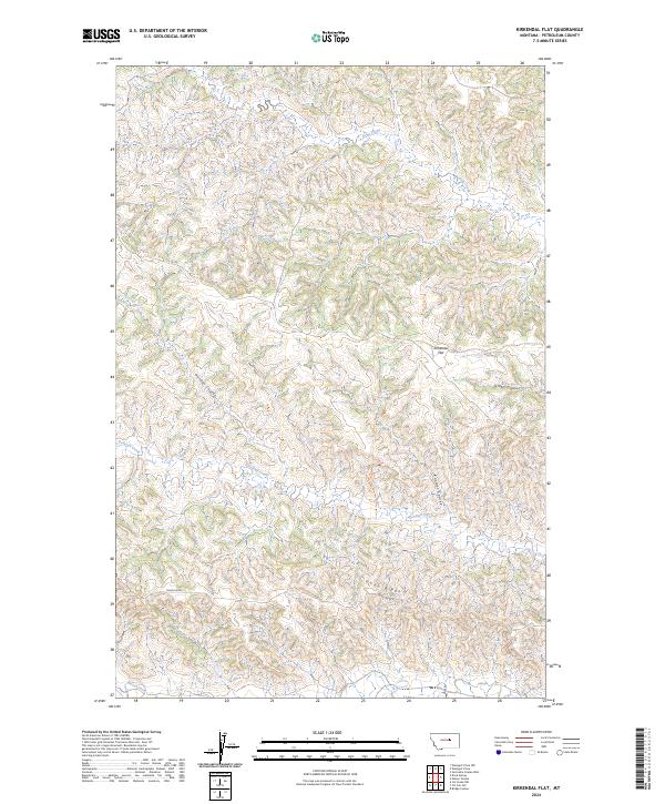
2024 Kirkendal Flat
Petroleum County, MT
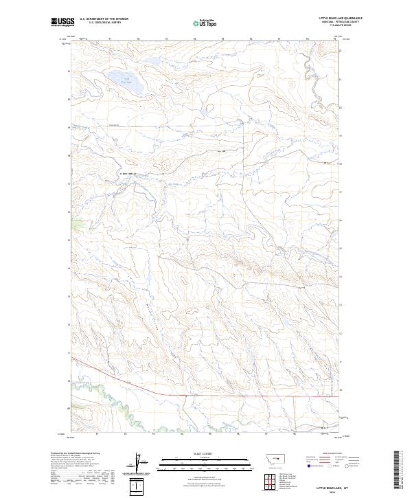
2024 Little Bear Lake
Petroleum County, MT
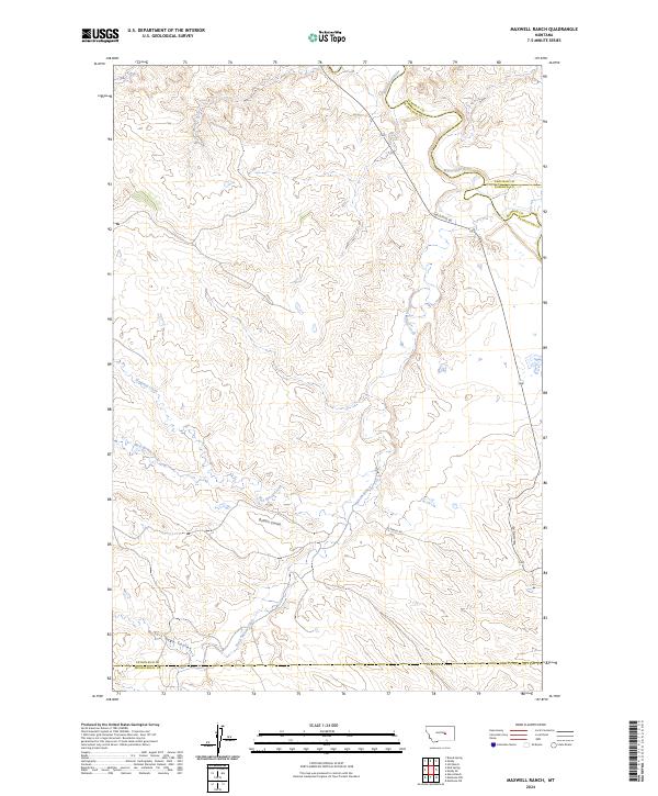
2024 Maxwell Ranch
Petroleum County, MT
2024 Mosby
Petroleum County, MT
2024 Mud Spring
Petroleum County, MT
2024 Petrolia Lake
Petroleum County, MT
2024 Pike Creek Hills East
Petroleum County, MT
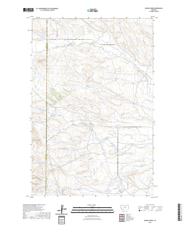
2024 Snoose Creek
Petroleum County, MT
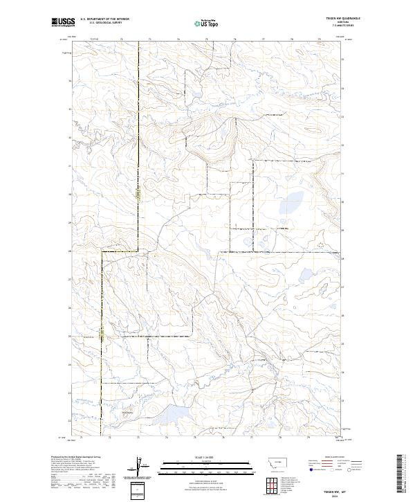
2024 Teigen NW
Petroleum County, MT
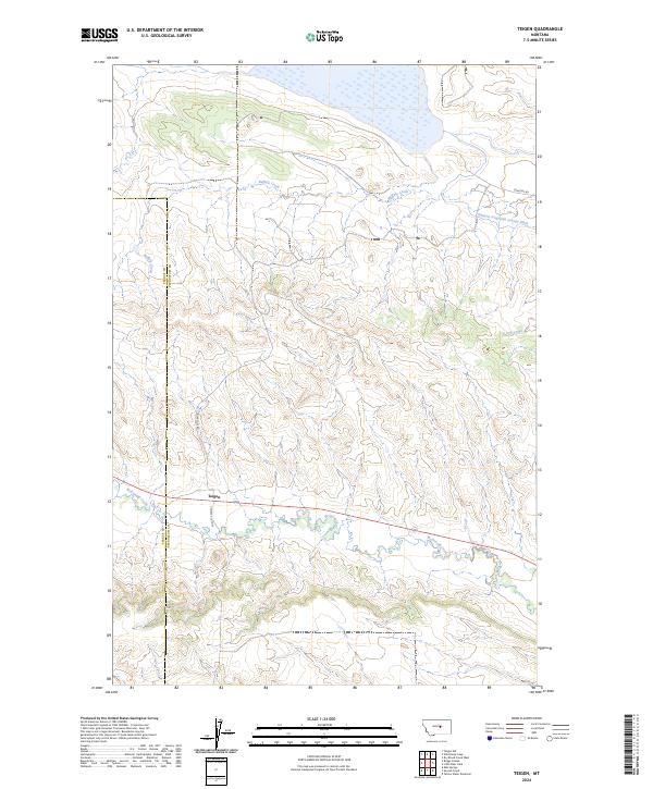
2024 Teigen
Petroleum County, MT
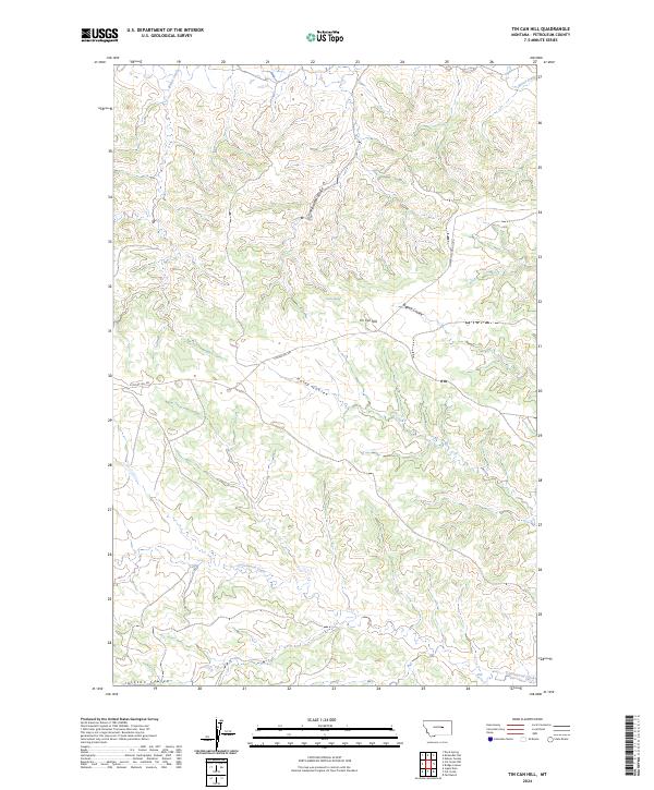
2024 Tin Can Hill
Petroleum County, MT
2024 Weingart Place NW
Petroleum County, MT
2024 Weingart Place
Petroleum County, MT

2024 Wild Horse Lake
Petroleum County, MT
2024 Winnett North
Petroleum County, MT
2024 Winnett South
Petroleum County, MT
2024 Yellow Water Reservoir
Petroleum County, MT