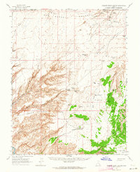
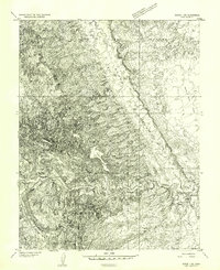
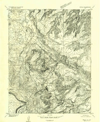
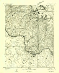
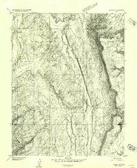
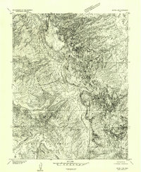
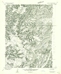
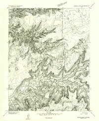
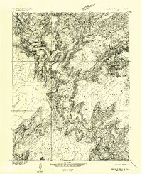
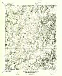
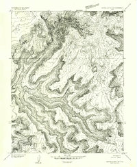
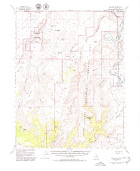
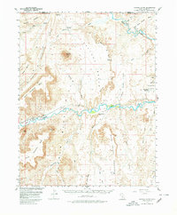
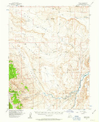
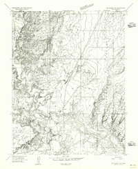
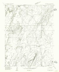
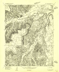
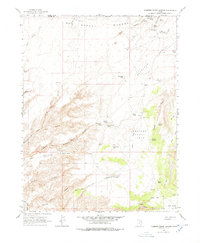
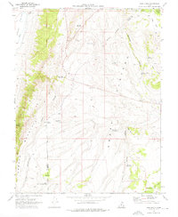
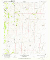
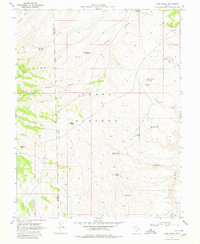
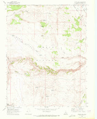
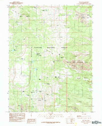
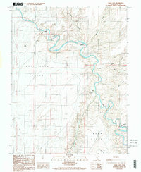
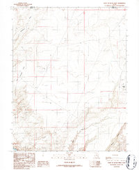
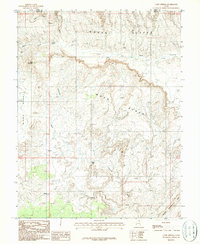
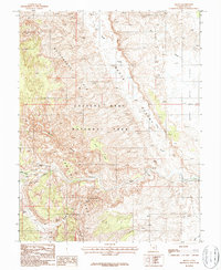
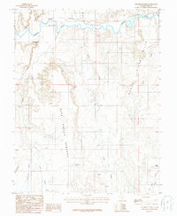
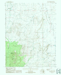
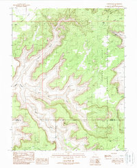
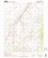
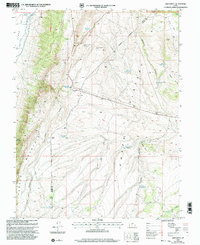
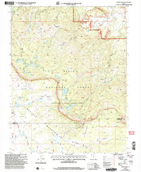
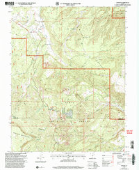
1963 Map of Robbers Roost Canyon
USGS Topo · Published 1964This historical map portrays the area of Robbers Roost Canyon in 1963, primarily covering Wayne County as well as portions of Emery County. Featuring a scale of 1:62500, this map provides a highly detailed snapshot of the terrain, roads, buildings, counties, and historical landmarks in the Robbers Roost Canyon region at the time. Published in 1964, it is one of 3 known editions of this map due to revisions or reprints.
Find a feature on this map
50 named features on this map. Tap any name to fly to it.
Don’t see what you’re looking for? This feature index may not catch every label — zoom into the map to look around manually.
Map Details
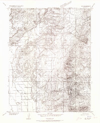
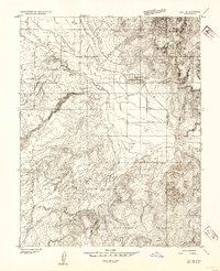
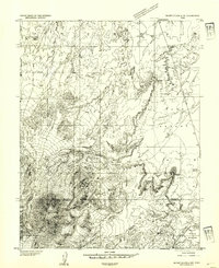
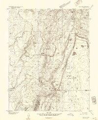
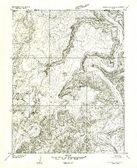
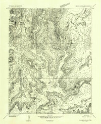
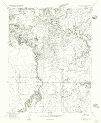
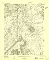
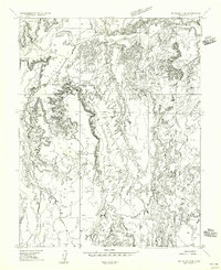
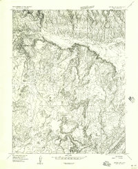
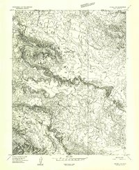
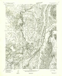
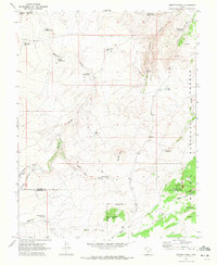
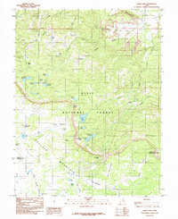
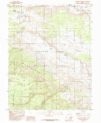
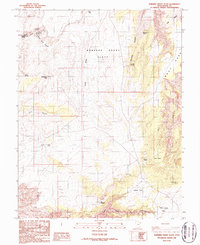
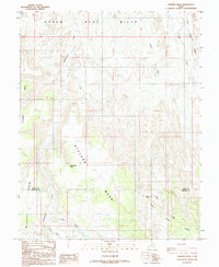
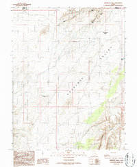
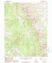
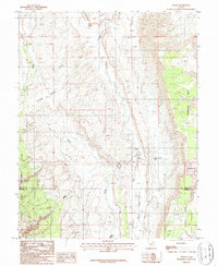
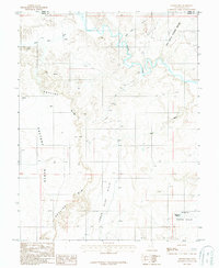
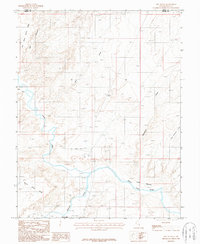
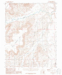
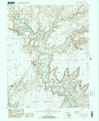
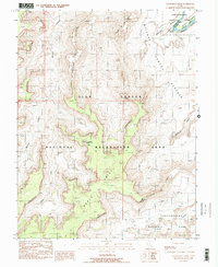
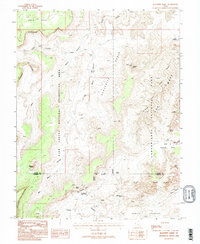
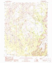
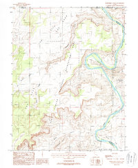
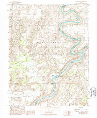
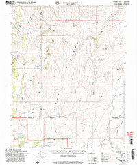
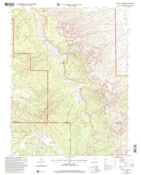
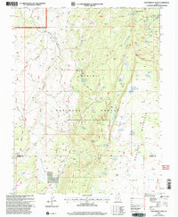
Editions of this 1963 Robbers Roost Canyon Map
3 editions found

Historical Maps of Wayne County Through Time
86 maps found
1952 Loa 1 NE
Wayne County, UT
1952 Loa 1 SE
Wayne County, UT
1952 Mt. Ellen 4 NW
Wayne County, UT
1952 Notom 1 SW
Wayne County, UT
1952 Notom 2 NE
Wayne County, UT

1952 Notom 2 NW
Wayne County, UT
1952 Notom 2 SE
Wayne County, UT
1952 Notom 2 SW
Wayne County, UT
1952 Notom 3 NE
Wayne County, UT
1952 Notom 3 NW
Wayne County, UT
1952 Notom 4 NE
Wayne County, UT
1952 Notom 4 NW
Wayne County, UT
1953 Carlisle 3 NW
Wayne County, UT
1953 Loa 4 NE
Wayne County, UT
1953 Orange Cliffs 1 NE
Wayne County, UT
1953 Orange Cliffs 1 SE
Wayne County, UT
1953 Orange Cliffs 3 NE
Wayne County, UT
1953 Orange Cliffs 3 NW
Wayne County, UT
1953 Orange Cliffs 4 NE
Wayne County, UT
1953 Orange Cliffs 4 NW
Wayne County, UT
1953 The Spur
Wayne County, UT
1954 Factory Butte
Wayne County, UT
1954 Fruita
Wayne County, UT
1954 Mt. Ellen 1 NW
Wayne County, UT
1954 Mt. Ellen 1 SW
Wayne County, UT
1954 Mt. Ellen 2 NE
Wayne County, UT
1954 Mt. Ellen 2 NW
Wayne County, UT
1954 Mt. Ellen 2 SE
Wayne County, UT
1954 Mt. Ellen 2 SW
Wayne County, UT
1954 Notom 1 NE
Wayne County, UT
1954 Notom 1 NW
Wayne County, UT
1954 Notom 1 SE
Wayne County, UT
1963 Robbers Roost Canyon
Wayne County, UT
1969 Abes Knoll
Wayne County, UT
1969 Flossie Knoll
Wayne County, UT
1969 Jakes Knoll
Wayne County, UT
1969 Moroni Peak
Wayne County, UT
1969 Smooth Knoll
Wayne County, UT
1985 Blind Lake
Wayne County, UT
1985 Cathedral Mountain
Wayne County, UT
1985 Flat Top
Wayne County, UT
1985 Government Point
Wayne County, UT
1985 Grover
Wayne County, UT
1985 Twin Rocks
Wayne County, UT
1986 Angel Cove
Wayne County, UT
1986 Angel Point
Wayne County, UT
1986 Dry Lakes Peak
Wayne County, UT
1986 Point of Rocks East
Wayne County, UT
1986 Point of Rocks West
Wayne County, UT
1986 Robbers Roost Flats
Wayne County, UT
1986 Stevens Mesa
Wayne County, UT
1986 Whitbeck Knoll
Wayne County, UT
1987 Caine Springs
Wayne County, UT
1987 Caineville
Wayne County, UT
1987 Factory Butte
Wayne County, UT
1987 Fruita NW
Wayne County, UT
1987 Fruita
Wayne County, UT
1987 Golden Throne
Wayne County, UT
1987 Notom
Wayne County, UT
1987 Skyline Rim
Wayne County, UT
1987 Steamboat Point
Wayne County, UT
1987 The Notch
Wayne County, UT
1987 Town Point
Wayne County, UT
1988 Baking Skillet Knoll
Wayne County, UT
1988 Bull Mountain
Wayne County, UT
1988 Burr Point
Wayne County, UT
1988 Cleopatras Chair
Wayne County, UT
1988 Elaterite Basin
Wayne County, UT
1988 Gordon Flats
Wayne County, UT
1988 Head Spur
Wayne County, UT
1988 Horsethief Canyon
Wayne County, UT
1988 Spanish Bottom
Wayne County, UT
1988 Sugarloaf Butte
Wayne County, UT
1988 The Pinnacle
Wayne County, UT
1996 Elaterite Basin
Wayne County, UT
1996 Spanish Bottom
Wayne County, UT
2001 Abes Knoll
Wayne County, UT
2001 Cathedral Mountain
Wayne County, UT
2001 Flat Top
Wayne County, UT
2001 Twin Rocks
Wayne County, UT
2002 Blind Lake
Wayne County, UT
2002 Flossie Knoll
Wayne County, UT
2002 Golden Throne
Wayne County, UT
2002 Government Point
Wayne County, UT
2002 Grover
Wayne County, UT
2002 Smooth Knoll
Wayne County, UT