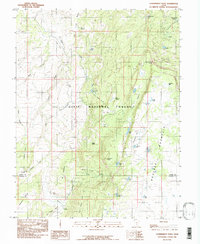
1985 Map of Blind Lake
USGS Topo · Published 1985About this map
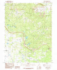
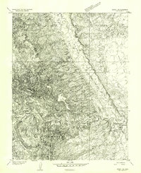
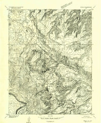
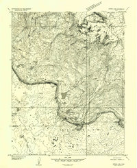
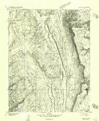
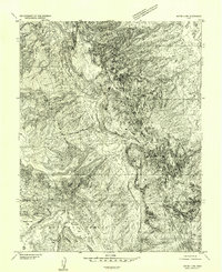
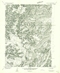
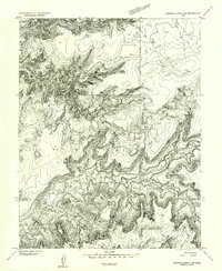
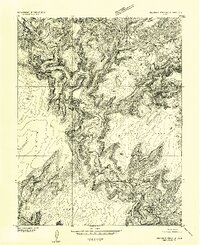
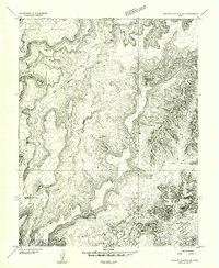
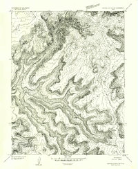
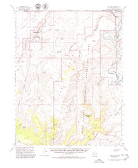
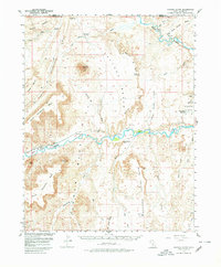
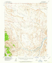
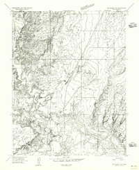
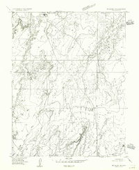
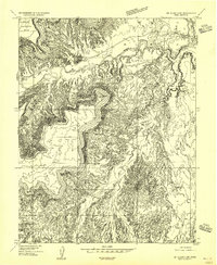
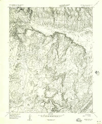
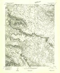
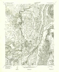
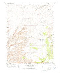
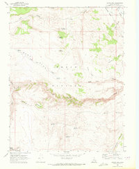
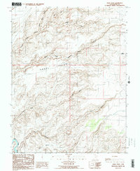
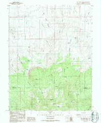
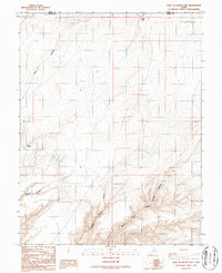
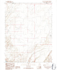
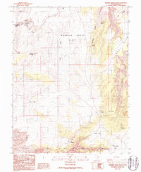
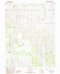
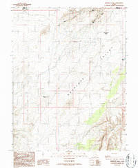
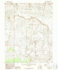
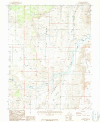
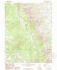
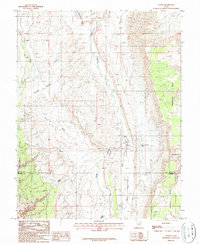
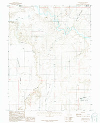
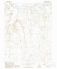
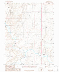
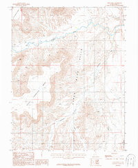
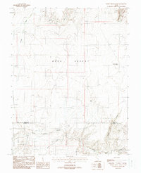
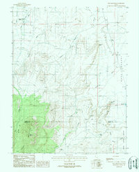
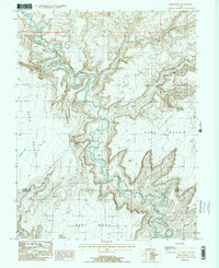
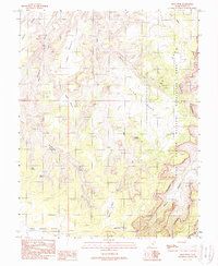
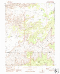
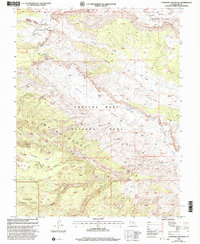
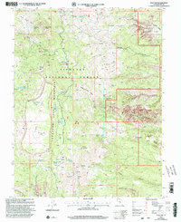
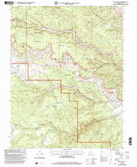
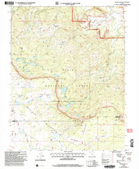
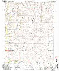
Boulder Mountain dominates the high plateau of the Dixie National Forest, defining a landscape of alpine basins and dramatic escarpments. This 1985 survey illustrates a wilderness defined by its water management and grazing history, centered on the significant waters of Blind Lake and the Beaver Dam Reservoir. The distribution of named meadows and flats, such as Birch Creek Meadows, Donkey Meadows, and Little Beef Meadows, indicates a legacy of seasonal livestock grazing across this high-elevation terrain. Numerous small lakes and reservoirs, including Dead Horse Lake, Honeymoon Lake, and Jim Larsen Reservoir, are scattered throughout the timbered slopes. The map also captures several distinct geological features like the Cocks Comb in the northeast and the broad expanse of Hickman Pasture, reflecting the complex topography where Wayne and Garfield counties meet.
Find a feature on this map
52 named features on this map. Tap any name to fly to it.
Don’t see what you’re looking for? This feature index may not catch every label — zoom into the map to look around manually.
Map Details
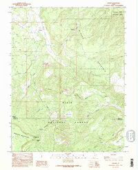
Editions of this 1985 Blind Lake Map
This is the sole edition of this map. No revisions or reprints were ever made.
Historical Maps of Wayne County Through Time
127 maps found
1952 Loa 1 NE
Wayne County, UT
1952 Loa 1 SE
Wayne County, UT
1952 Mt. Ellen 4 NW
Wayne County, UT
1952 Notom 1 SW
Wayne County, UT
1952 Notom 2 NE
Wayne County, UT

1952 Notom 2 NW
Wayne County, UT
1952 Notom 2 SE
Wayne County, UT
1952 Notom 2 SW
Wayne County, UT
1952 Notom 3 NE
Wayne County, UT
1952 Notom 3 NW
Wayne County, UT
1952 Notom 4 NE
Wayne County, UT
1952 Notom 4 NW
Wayne County, UT
1953 Carlisle 3 NW
Wayne County, UT
1953 Loa 4 NE
Wayne County, UT
1953 Orange Cliffs 1 NE
Wayne County, UT
1953 Orange Cliffs 1 SE
Wayne County, UT
1953 Orange Cliffs 3 NE
Wayne County, UT
1953 Orange Cliffs 3 NW
Wayne County, UT
1953 Orange Cliffs 4 NE
Wayne County, UT
1953 Orange Cliffs 4 NW
Wayne County, UT
1953 The Spur
Wayne County, UT
1954 Factory Butte
Wayne County, UT
1954 Fruita
Wayne County, UT
1954 Mt. Ellen 1 NW
Wayne County, UT
1954 Mt. Ellen 1 SW
Wayne County, UT
1954 Mt. Ellen 2 NE
Wayne County, UT
1954 Mt. Ellen 2 NW
Wayne County, UT
1954 Mt. Ellen 2 SE
Wayne County, UT
1954 Mt. Ellen 2 SW
Wayne County, UT
1954 Notom 1 NE
Wayne County, UT
1954 Notom 1 NW
Wayne County, UT
1954 Notom 1 SE
Wayne County, UT
1963 Robbers Roost Canyon
Wayne County, UT
1969 Abes Knoll
Wayne County, UT
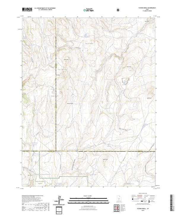
1969 Flossie Knoll
Wayne County, UT
1969 Jakes Knoll
Wayne County, UT
1969 Moroni Peak
Wayne County, UT
1969 Smooth Knoll
Wayne County, UT
1985 Blind Lake
Wayne County, UT
1985 Cathedral Mountain
Wayne County, UT
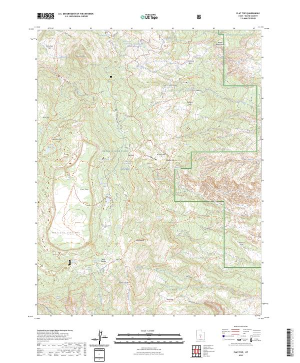
1985 Flat Top
Wayne County, UT
1985 Government Point
Wayne County, UT
1985 Grover
Wayne County, UT
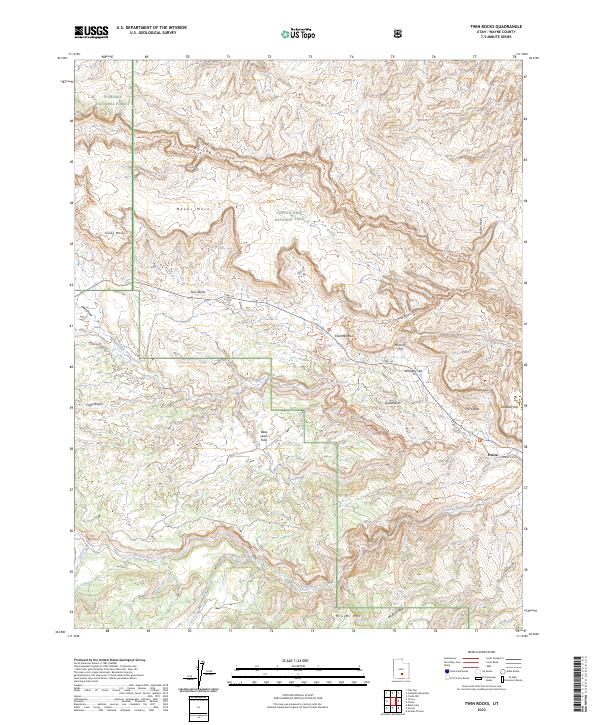
1985 Twin Rocks
Wayne County, UT
1986 Angel Cove
Wayne County, UT
1986 Angel Point
Wayne County, UT
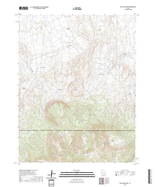
1986 Dry Lakes Peak
Wayne County, UT
1986 Point of Rocks East
Wayne County, UT
1986 Point of Rocks West
Wayne County, UT
1986 Robbers Roost Flats
Wayne County, UT
1986 Stevens Mesa
Wayne County, UT
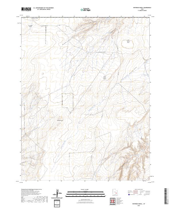
1986 Whitbeck Knoll
Wayne County, UT
1987 Caine Springs
Wayne County, UT
1987 Caineville
Wayne County, UT
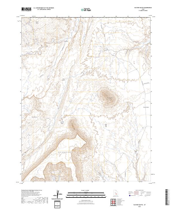
1987 Factory Butte
Wayne County, UT
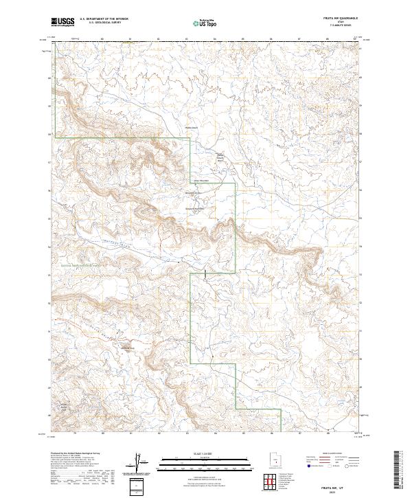
1987 Fruita NW
Wayne County, UT
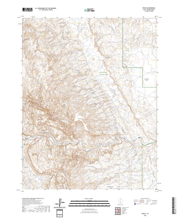
1987 Fruita
Wayne County, UT
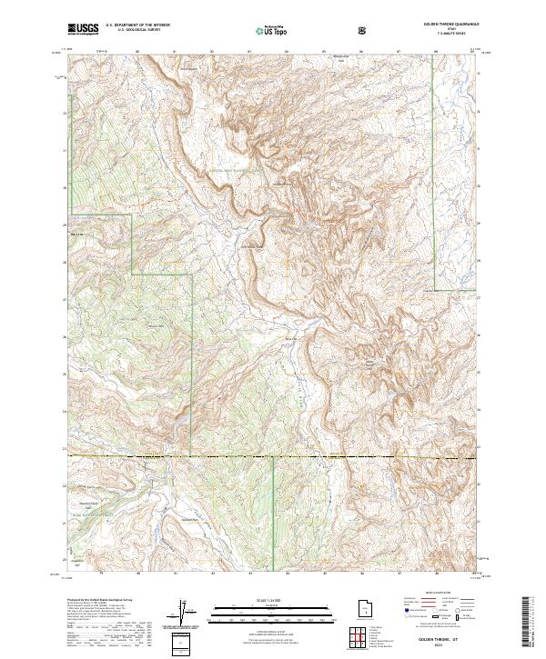
1987 Golden Throne
Wayne County, UT
1987 Notom
Wayne County, UT
1987 Skyline Rim
Wayne County, UT
1987 Steamboat Point
Wayne County, UT
1987 The Notch
Wayne County, UT
1987 Town Point
Wayne County, UT
1988 Baking Skillet Knoll
Wayne County, UT
1988 Bull Mountain
Wayne County, UT
1988 Burr Point
Wayne County, UT
1988 Cleopatras Chair
Wayne County, UT
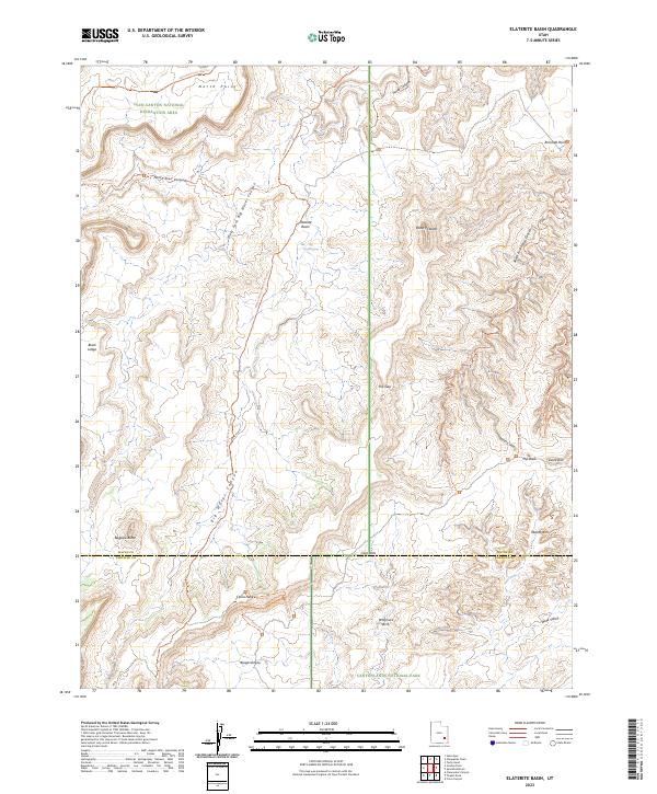
1988 Elaterite Basin
Wayne County, UT
1988 Gordon Flats
Wayne County, UT
1988 Head Spur
Wayne County, UT
1988 Horsethief Canyon
Wayne County, UT
1988 Spanish Bottom
Wayne County, UT
1988 Sugarloaf Butte
Wayne County, UT
1988 The Pinnacle
Wayne County, UT
1996 Elaterite Basin
Wayne County, UT
1996 Spanish Bottom
Wayne County, UT
2001 Abes Knoll
Wayne County, UT
2001 Cathedral Mountain
Wayne County, UT
2001 Flat Top
Wayne County, UT
2001 Twin Rocks
Wayne County, UT
2002 Blind Lake
Wayne County, UT
2002 Flossie Knoll
Wayne County, UT
2002 Golden Throne
Wayne County, UT
2002 Government Point
Wayne County, UT
2002 Grover
Wayne County, UT
2002 Smooth Knoll
Wayne County, UT
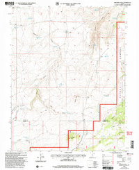
2023 Abes Knoll
Wayne County, UT
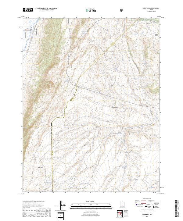
2023 Angel Cove
Wayne County, UT
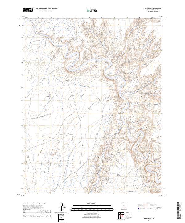
2023 Angel Point
Wayne County, UT
2023 Baking Skillet Knoll
Wayne County, UT
2023 Blind Lake
Wayne County, UT
2023 Bull Mountain
Wayne County, UT
2023 Burr Point
Wayne County, UT
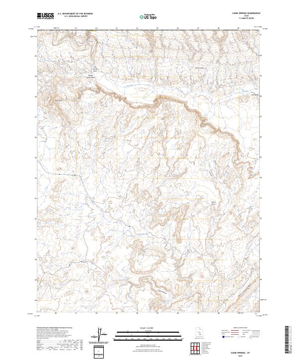
2023 Caine Springs
Wayne County, UT
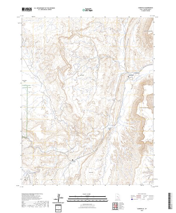
2023 Caineville
Wayne County, UT
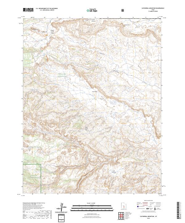
2023 Cathedral Mountain
Wayne County, UT
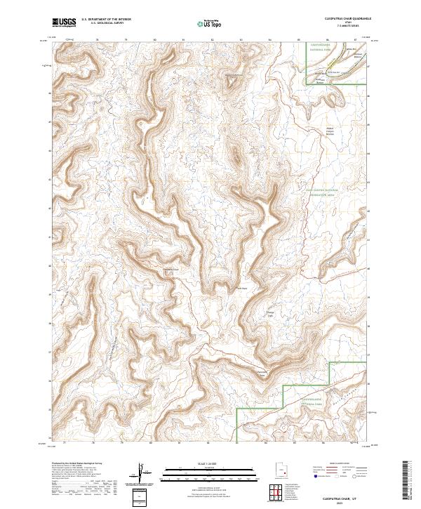
2023 Cleopatras Chair
Wayne County, UT
2023 Dry Lakes Peak
Wayne County, UT
2023 Elaterite Basin
Wayne County, UT
2023 Factory Butte
Wayne County, UT
2023 Flat Top
Wayne County, UT
2023 Flossie Knoll
Wayne County, UT
2023 Fruita NW
Wayne County, UT
2023 Fruita
Wayne County, UT
2023 Golden Throne
Wayne County, UT
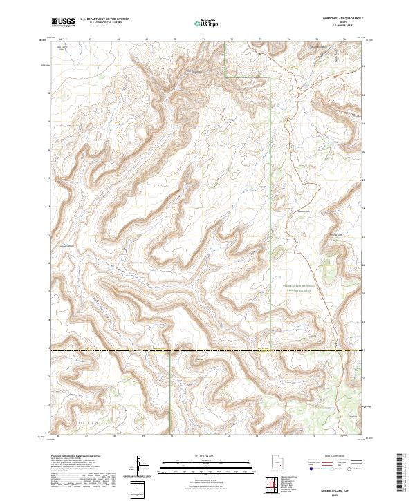
2023 Gordon Flats
Wayne County, UT
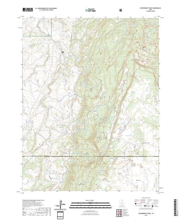
2023 Government Point
Wayne County, UT
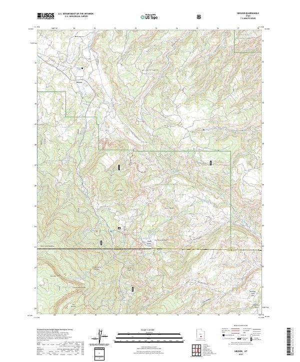
2023 Grover
Wayne County, UT
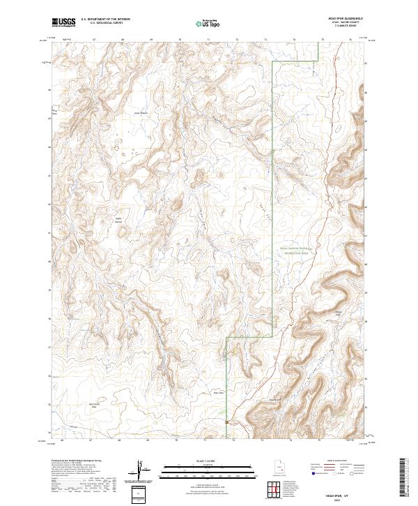
2023 Head Spur
Wayne County, UT
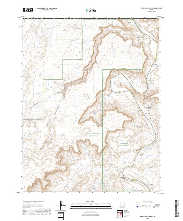
2023 Horsethief Canyon
Wayne County, UT
2023 Jakes Knoll
Wayne County, UT
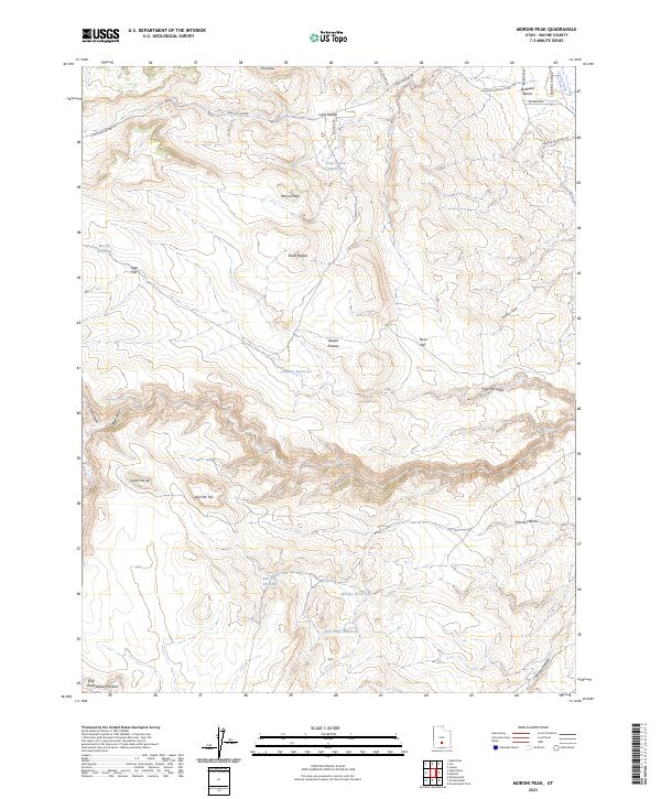
2023 Moroni Peak
Wayne County, UT
2023 Notom
Wayne County, UT
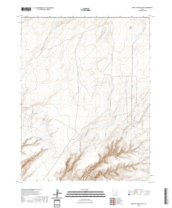
2023 Point of Rocks East
Wayne County, UT
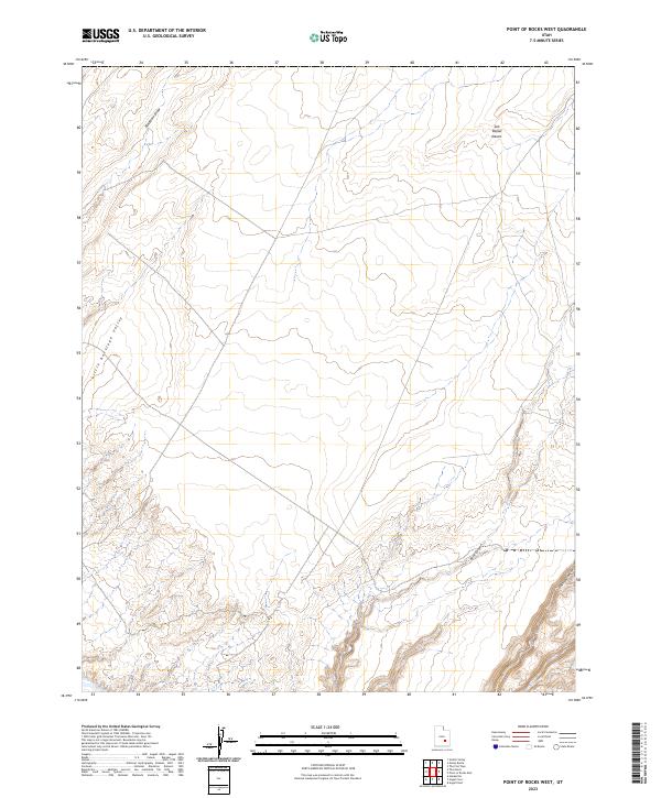
2023 Point of Rocks West
Wayne County, UT
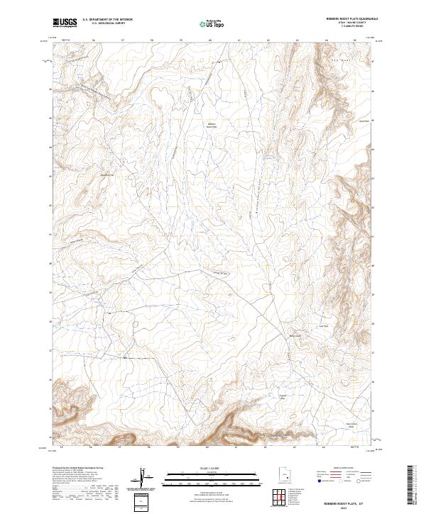
2023 Robbers Roost Flats
Wayne County, UT
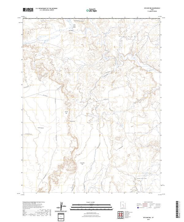
2023 Skyline Rim
Wayne County, UT
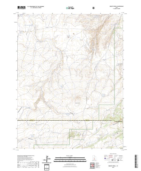
2023 Smooth Knoll
Wayne County, UT
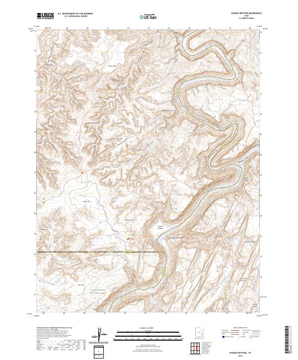
2023 Spanish Bottom
Wayne County, UT
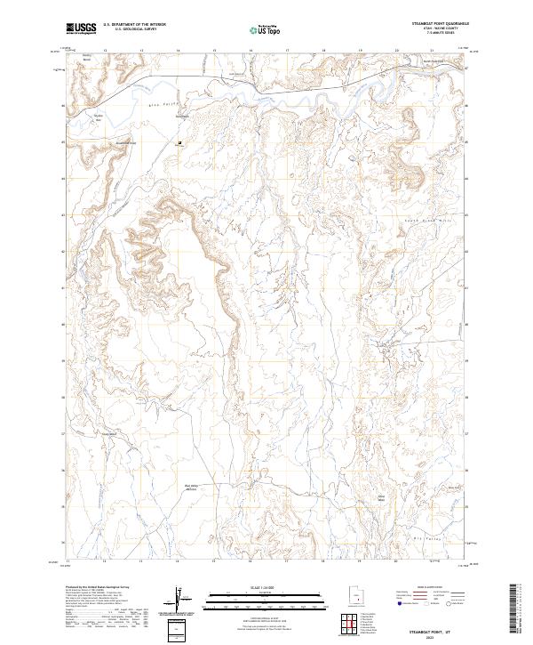
2023 Steamboat Point
Wayne County, UT
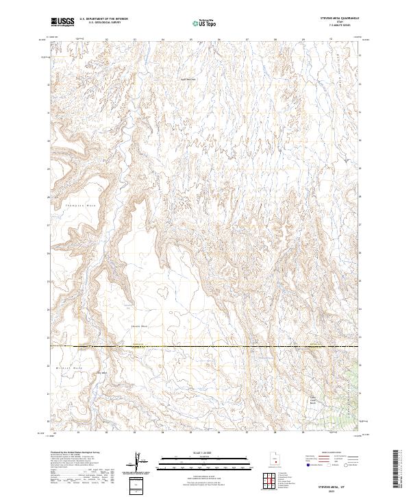
2023 Stevens Mesa
Wayne County, UT
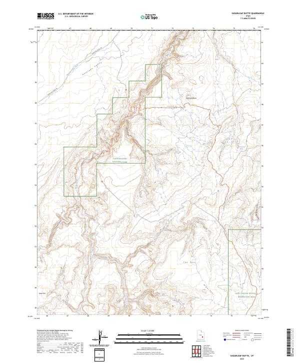
2023 Sugarloaf Butte
Wayne County, UT
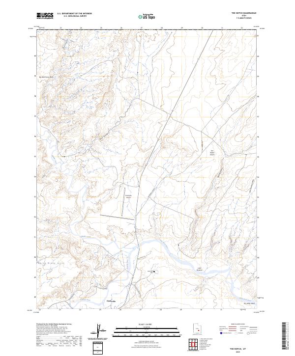
2023 The Notch
Wayne County, UT
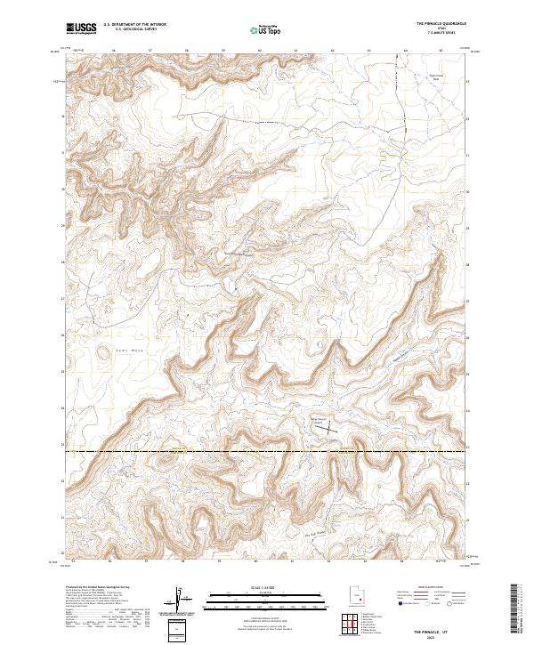
2023 The Pinnacle
Wayne County, UT
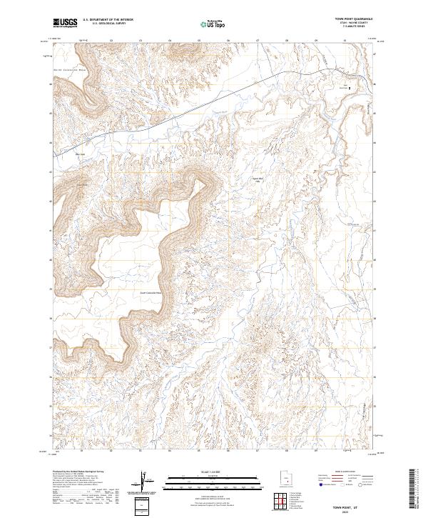
2023 Town Point
Wayne County, UT
2023 Twin Rocks
Wayne County, UT
2023 Whitbeck Knoll
Wayne County, UT