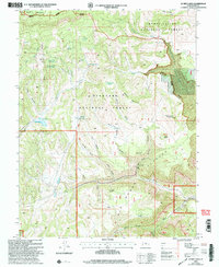
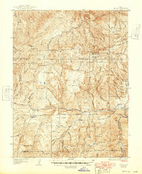
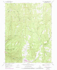
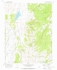
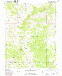
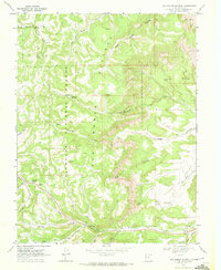
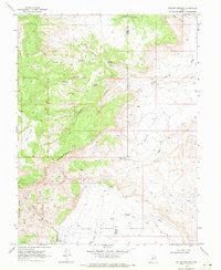
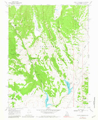
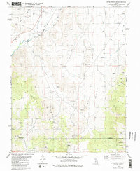
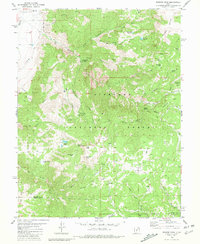
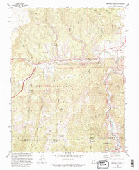
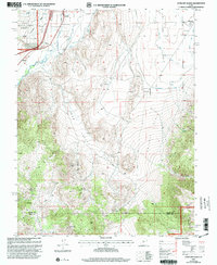
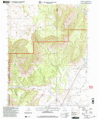
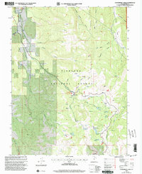
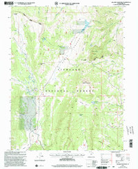
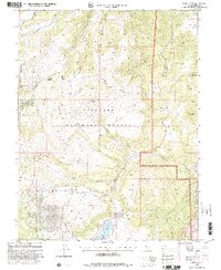
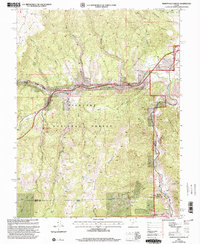
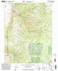
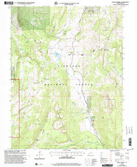
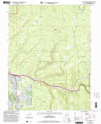
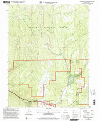
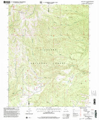
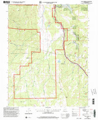
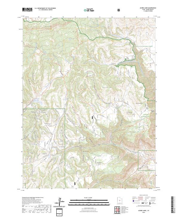
2001 Map of Acord Lakes
USGS Topo · Published 2004About this map
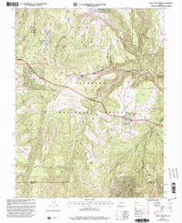
The Convulsion Coal Mine anchors the southern landscape of this central Utah survey, situated where the high terrain of the Old Woman Plateau drops into deep drainage systems. This industrial footprint contrasts with the surrounding managed forest lands, where the Lizonbee Administrative Site serves as a remote outpost for the Fishlake National Forest. The map documents a complex network of springs and water management features essential for high-elevation ranching and forestry, including Skutumpah Reservoir and the eponymous Acord Lakes.
Find a feature on this map
59 named features on this map. Tap any name to fly to it.
Don’t see what you’re looking for? This feature index may not catch every label — zoom into the map to look around manually.
Map Details
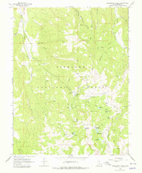
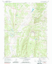
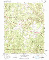
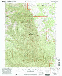
Editions of this 2001 Acord Lakes Map
This is the sole edition of this map. No revisions or reprints were ever made.
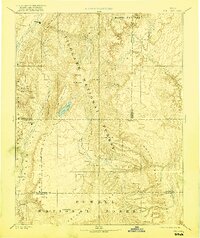
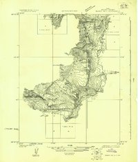
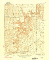
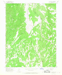
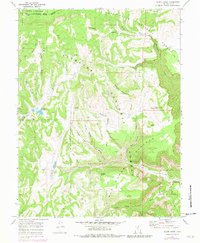
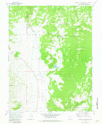
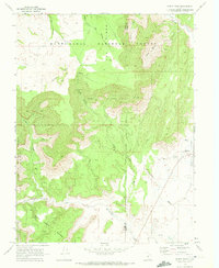
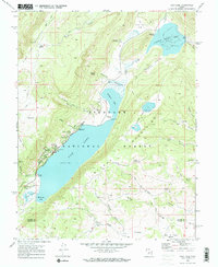
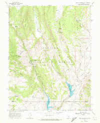
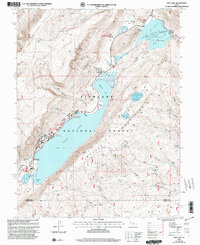
Historical Maps of Sevier County Through Time
83 maps found

1885 Fish Lake
Sevier County, UT
1896 Fish Lake
Sevier County, UT
1922 Emery No.3
Sevier County, UT
1925 Acord Lakes
Sevier County, UT

1932 Sevier
Sevier County, UT
1935 Sevier
Sevier County, UT
1966 Gooseberry Creek
Sevier County, UT
1966 Rex Reservoir
Sevier County, UT
1966 Steves Mtn
Sevier County, UT
1966 Water Hollow Ridge
Sevier County, UT
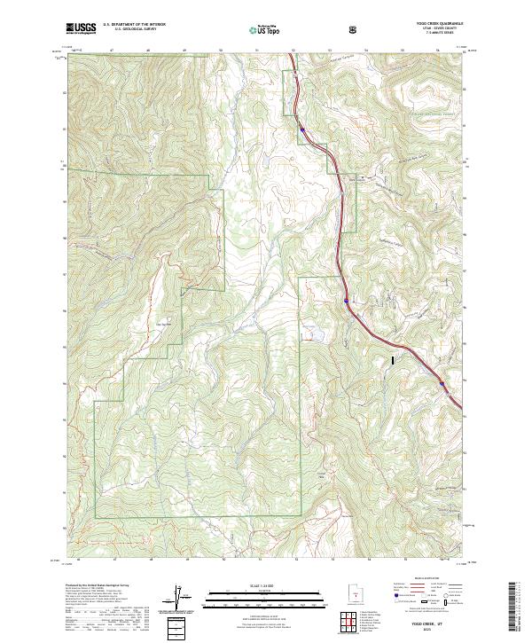
1966 Yogo Creek
Sevier County, UT
1968 Acord Lakes
Sevier County, UT
1968 Boobe Hole Reservoir
Sevier County, UT
1968 Burrville
Sevier County, UT
1968 Emery West
Sevier County, UT
1968 Fish Lake
Sevier County, UT
1968 Forsyth Reservoir
Sevier County, UT
1968 Geyser Peak
Sevier County, UT
1968 Hilgard Mtn
Sevier County, UT
1968 Johns Peak
Sevier County, UT
1968 Mt Terrill
Sevier County, UT
1968 Old Woman Plateau
Sevier County, UT
1968 Solomons Temple
Sevier County, UT
1968 Walker Flat
Sevier County, UT
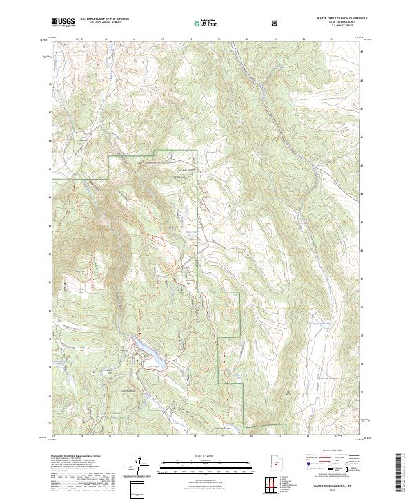
1968 Water Creek Canyon
Sevier County, UT
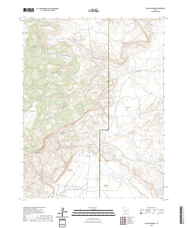
1968 Willow Springs
Sevier County, UT
1976 Forsyth Reservoir
Sevier County, UT
1980 Antelope Range
Sevier County, UT
1980 Monroe Peak
Sevier County, UT
1981 Marysvale Canyon
Sevier County, UT
1981 Trail Mountain
Sevier County, UT
1986 Beehive Peak
Sevier County, UT
1986 White Pine Peak
Sevier County, UT
2001 Acord Lakes
Sevier County, UT
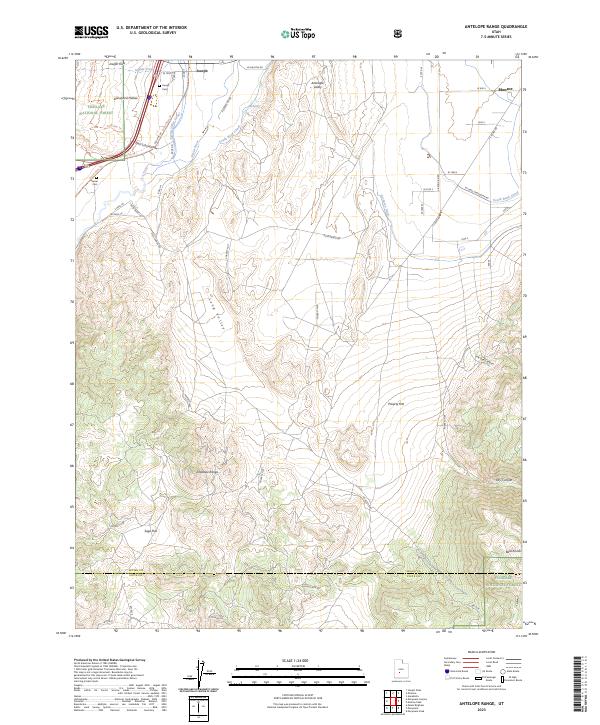
2001 Antelope Range
Sevier County, UT
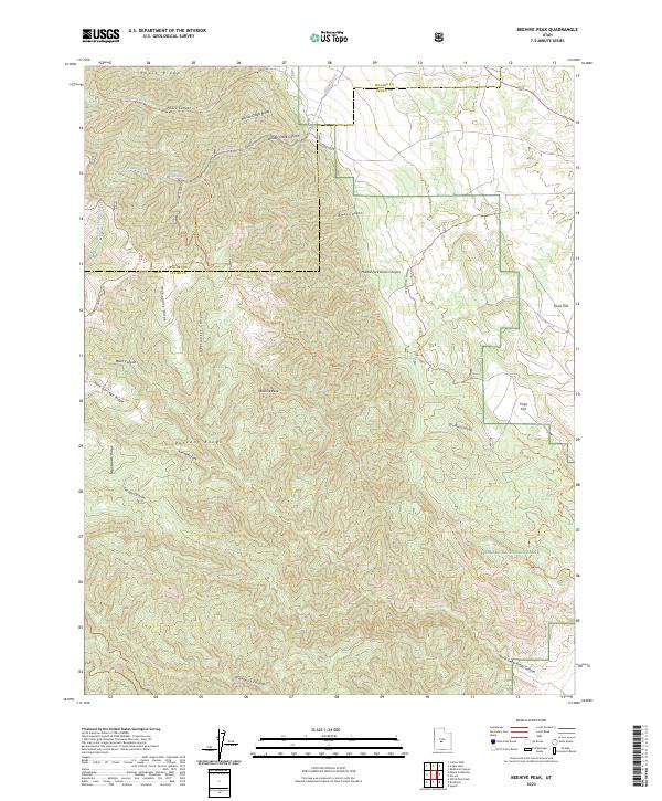
2001 Beehive Peak
Sevier County, UT
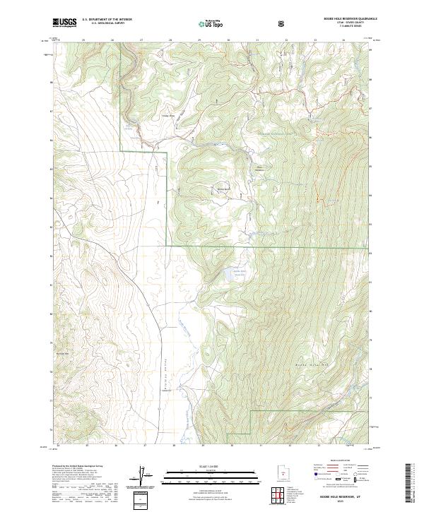
2001 Boobe Hole Reservoir
Sevier County, UT
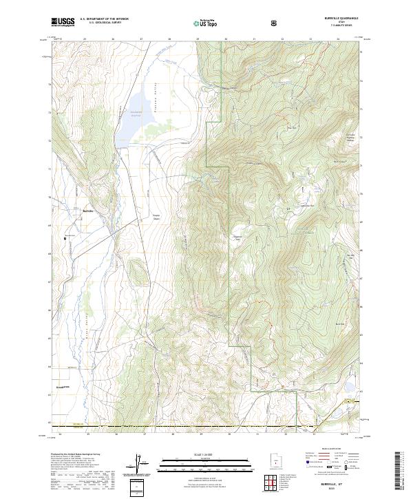
2001 Burrville
Sevier County, UT
2001 Emery West
Sevier County, UT
2001 Fish Lake
Sevier County, UT
2001 Forsyth Reservoir
Sevier County, UT
2001 Geyser Peak
Sevier County, UT
2001 Gooseberry Creek
Sevier County, UT
2001 Hilgard Mountain
Sevier County, UT
2001 Johns Peak
Sevier County, UT
2001 Marysvale Canyon
Sevier County, UT
2001 Monroe Peak
Sevier County, UT
2001 Mount Terrill
Sevier County, UT
2001 Old Woman Plateau
Sevier County, UT
2001 Rex Reservoir
Sevier County, UT
2001 Steves Mountain
Sevier County, UT
2001 Trail Mountain
Sevier County, UT
2001 Walker Flat
Sevier County, UT
2001 Water Creek Canyon
Sevier County, UT
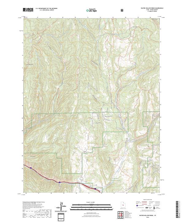
2001 Water Hollow Ridge
Sevier County, UT
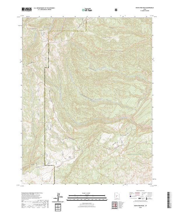
2001 White Pine Peak
Sevier County, UT
2001 Yogo Creek
Sevier County, UT
2023 Acord Lakes
Sevier County, UT
2023 Antelope Range
Sevier County, UT
2023 Beehive Peak
Sevier County, UT
2023 Boobe Hole Reservoir
Sevier County, UT
2023 Burrville
Sevier County, UT
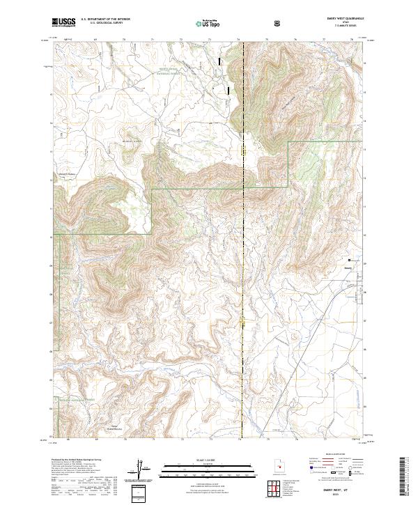
2023 Emery West
Sevier County, UT
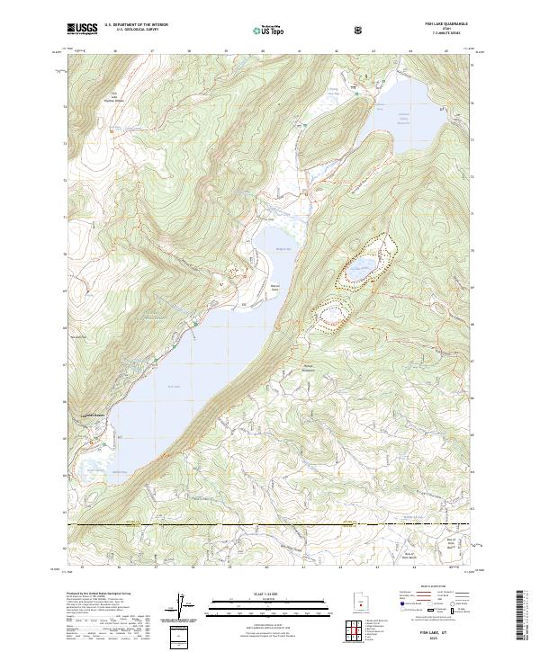
2023 Fish Lake
Sevier County, UT
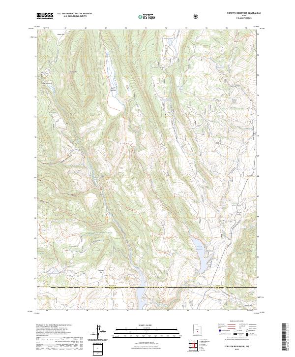
2023 Forsyth Reservoir
Sevier County, UT
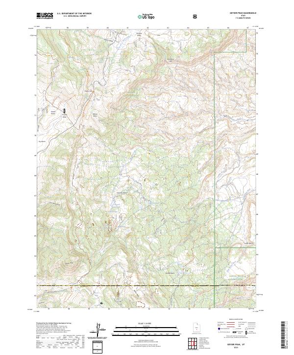
2023 Geyser Peak
Sevier County, UT
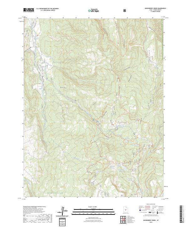
2023 Gooseberry Creek
Sevier County, UT
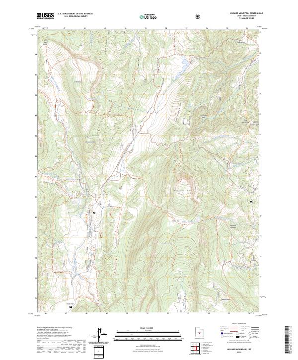
2023 Hilgard Mountain
Sevier County, UT
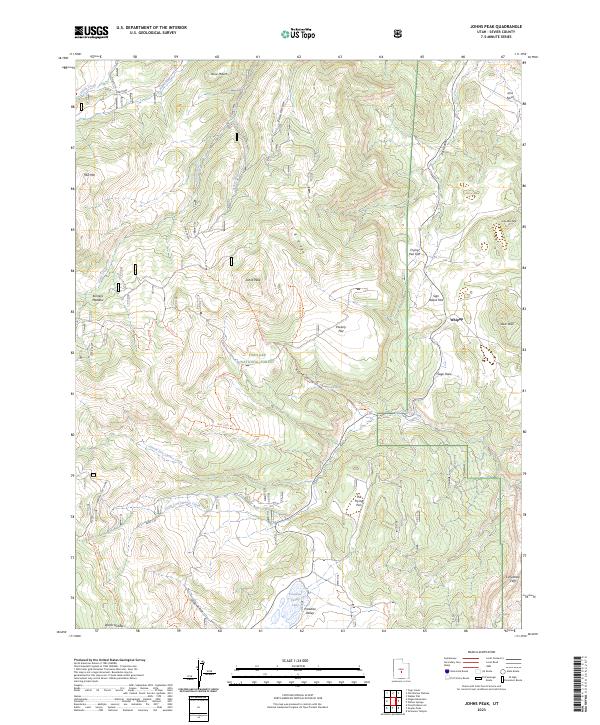
2023 Johns Peak
Sevier County, UT
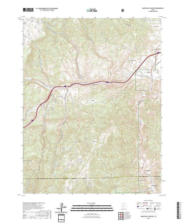
2023 Marysvale Canyon
Sevier County, UT
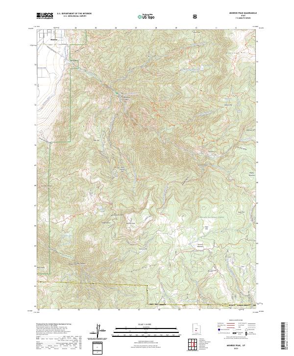
2023 Monroe Peak
Sevier County, UT
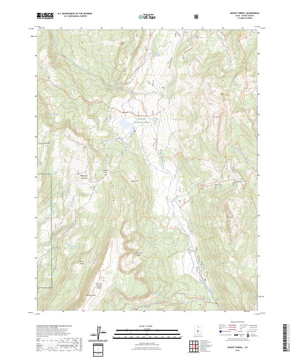
2023 Mount Terrill
Sevier County, UT
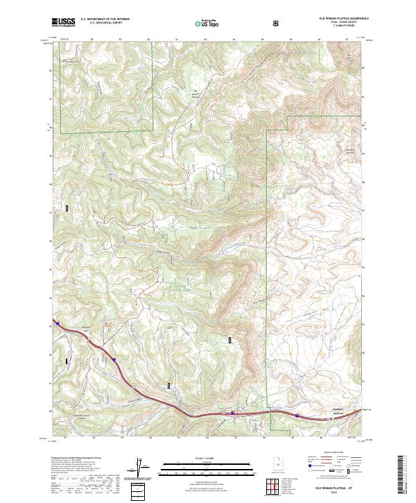
2023 Old Woman Plateau
Sevier County, UT
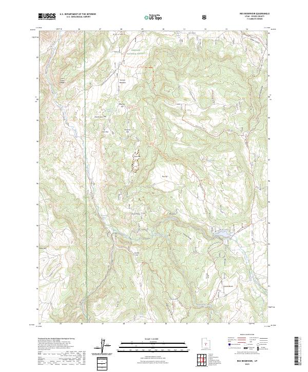
2023 Rex Reservoir
Sevier County, UT
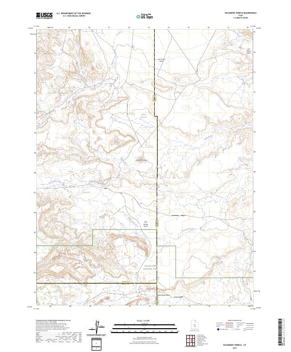
2023 Solomons Temple
Sevier County, UT
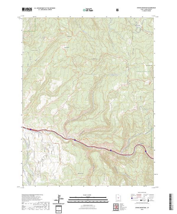
2023 Steves Mountain
Sevier County, UT
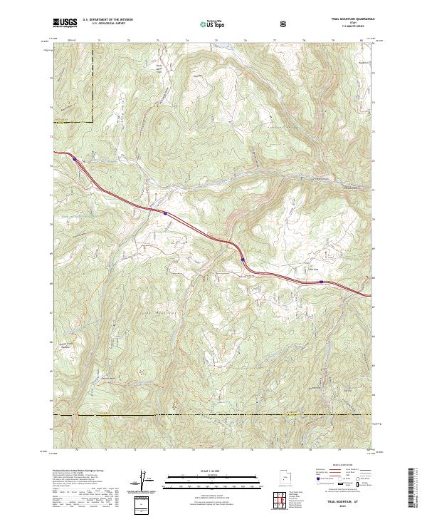
2023 Trail Mountain
Sevier County, UT
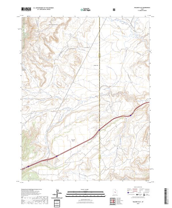
2023 Walker Flat
Sevier County, UT
2023 Water Creek Canyon
Sevier County, UT
2023 Water Hollow Ridge
Sevier County, UT
2023 White Pine Peak
Sevier County, UT
2023 Willow Springs
Sevier County, UT
2023 Yogo Creek
Sevier County, UT