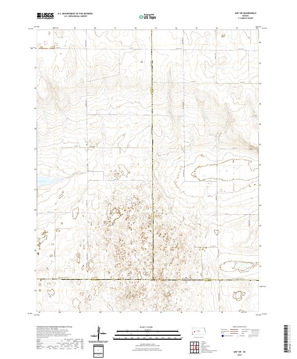
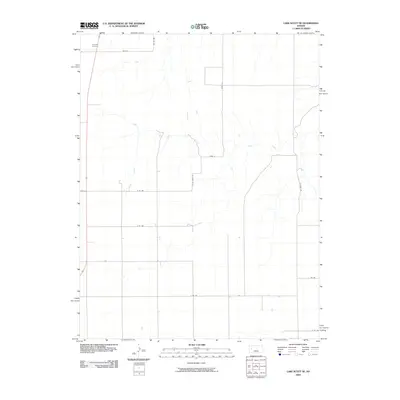
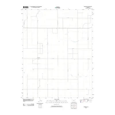
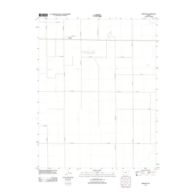
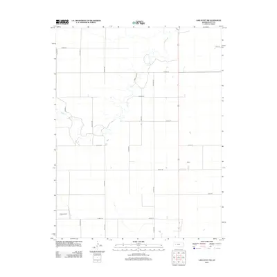
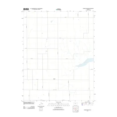
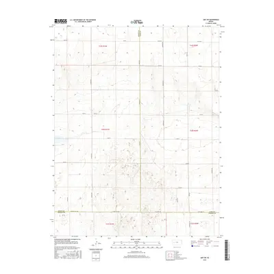
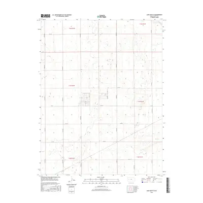
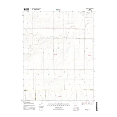
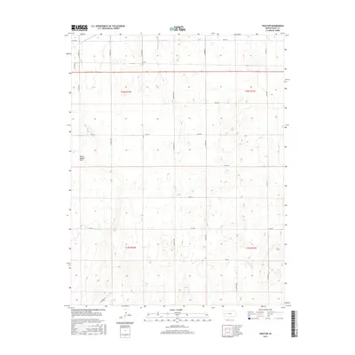
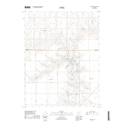
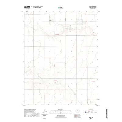
2022 Map of Amy SW
USGS Topo · Published 2022About this map
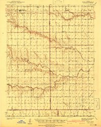
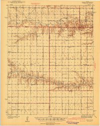
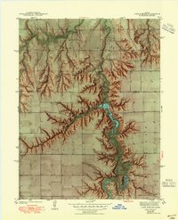
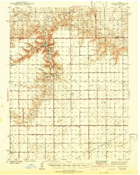
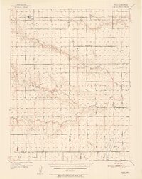
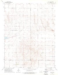
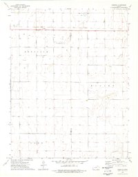
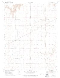
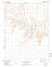
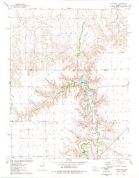
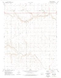
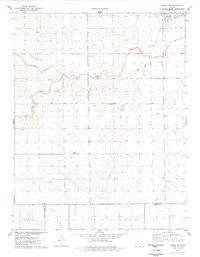
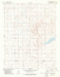
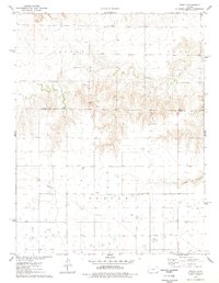
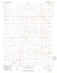
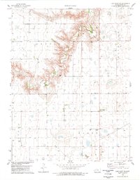
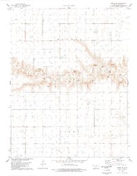
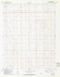
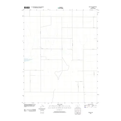
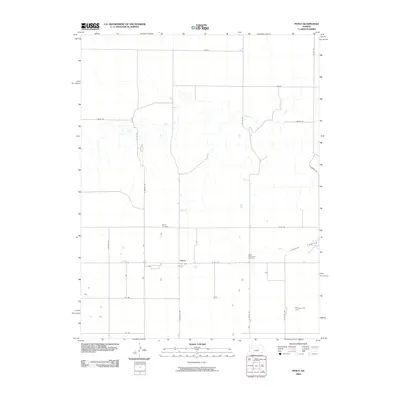
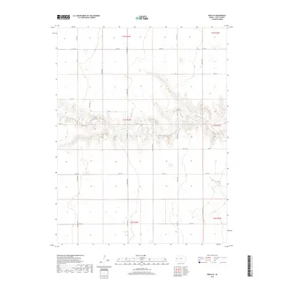
Dry Lake sits as a prominent geographic depression in this rural landscape at the convergence of several Western Kansas counties. The terrain is characterized by the structured intersection of Scott, Lane, and Finney counties, where the land is strictly divided by a grid of section lines and named country roads. Long straightaways such as S Venison Rd and Arapahoe Rd define the movement through this high plains region, reflecting the systematic land survey patterns that have governed the area since settlement. The presence of E Finney Scott Rd and Lane-Finney Rd along the southern boundaries highlights the importance of these thoroughfares in connecting the isolated agricultural tracts. While the topography is relatively consistent, the detailed mapping of ephemeral water features and local transit routes provides essential context for understanding the spatial organization of this farming and ranching territory.
Find a feature on this map
31 named features on this map. Tap any name to fly to it.
Don’t see what you’re looking for? This feature index may not catch every label — zoom into the map to look around manually.
Map Details
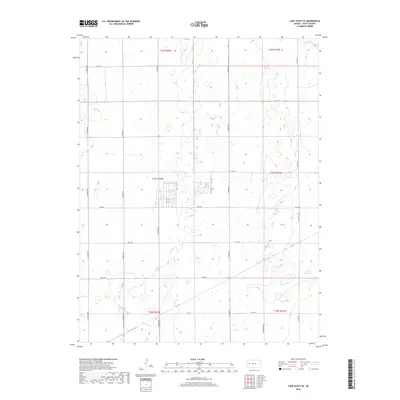
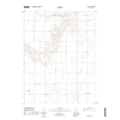
Editions of this 2022 Amy SW Map
This is the sole edition of this map. No revisions or reprints were ever made.
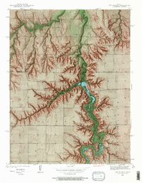
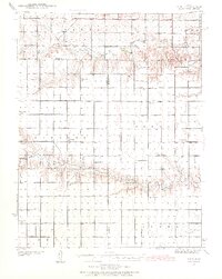
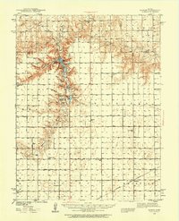
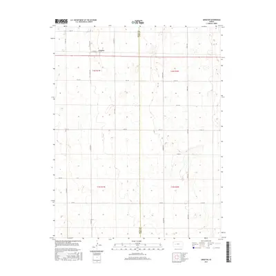
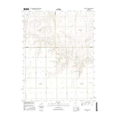
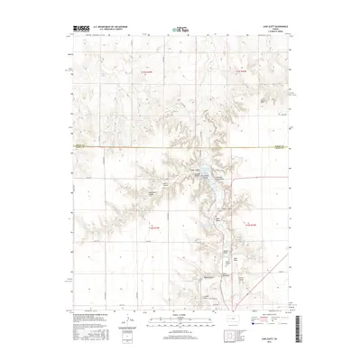
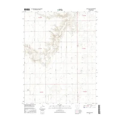
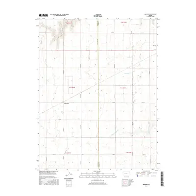
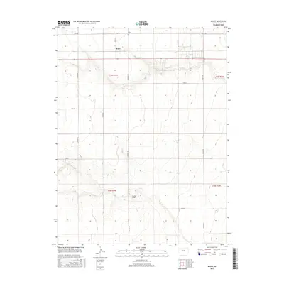
Historical Maps of Finney County Through Time
86 maps found
1939 Lake Mc Bride
Scott County, KS
1939 Pence
Scott County, KS
1939 Sandon
Scott County, KS
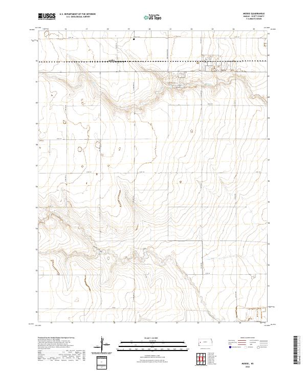
1941 Modoc
Scott County, KS
1941 Pence
Scott County, KS
1942 Lake Mc Bride
Scott County, KS
1942 Sandon
Scott County, KS
1951 Modoc
Scott County, KS
1974 Amy SW
Scott County, KS
1974 Grigston
Scott County, KS
1974 Manning
Scott County, KS
1976 Lake Scott NE
Scott County, KS
1976 Lake Scott
Scott County, KS
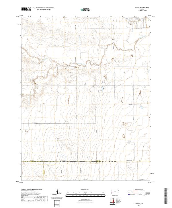
1976 Modoc
Scott County, KS
1976 Modoc SE
Scott County, KS
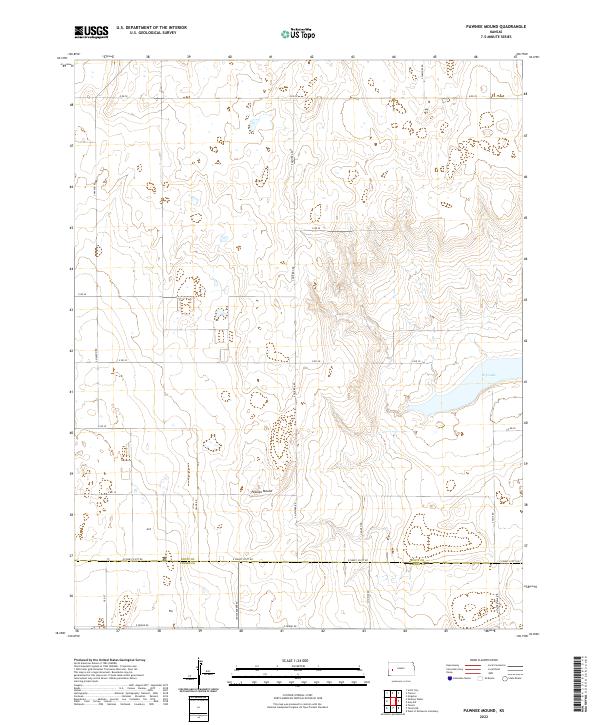
1976 Pawnee Mound
Scott County, KS
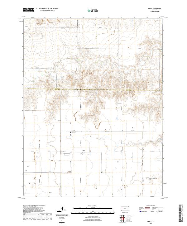
1976 Pence
Scott County, KS
1978 Lake Scott SE
Scott County, KS
1978 Lake Scott SW
Scott County, KS
1978 Pence SE
Scott County, KS
1978 Tractor
Scott County, KS
2009 Amy SW
Scott County, KS
2009 Grigston
Scott County, KS
2009 Lake Scott NE
Scott County, KS
2009 Lake Scott
Scott County, KS
2009 Lake Scott SE
Scott County, KS
2009 Lake Scott SW
Scott County, KS
2009 Manning
Scott County, KS
2009 Modoc
Scott County, KS
2009 Modoc SE
Scott County, KS
2009 Pawnee Mound
Scott County, KS
2009 Pence
Scott County, KS
2009 Pence SE
Scott County, KS
2009 Tractor
Scott County, KS
2012 Amy SW
Scott County, KS
2012 Grigston
Scott County, KS
2012 Lake Scott NE
Scott County, KS
2012 Lake Scott
Scott County, KS
2012 Lake Scott SE
Scott County, KS
2012 Lake Scott SW
Scott County, KS
2012 Manning
Scott County, KS
2012 Modoc
Scott County, KS
2012 Modoc SE
Scott County, KS
2012 Pawnee Mound
Scott County, KS
2012 Pence
Scott County, KS
2012 Pence SE
Scott County, KS
2012 Tractor
Scott County, KS
2015 Amy SW
Scott County, KS
2015 Grigston
Scott County, KS
2015 Lake Scott NE
Scott County, KS
2015 Lake Scott
Scott County, KS
2015 Lake Scott SE
Scott County, KS
2015 Lake Scott SW
Scott County, KS
2015 Manning
Scott County, KS
2015 Modoc
Scott County, KS
2015 Modoc SE
Scott County, KS
2015 Pawnee Mound
Scott County, KS
2015 Pence
Scott County, KS
2015 Pence SE
Scott County, KS
2015 Tractor
Scott County, KS
2018 Amy SW
Scott County, KS
2018 Grigston
Scott County, KS
2018 Lake Scott NE
Scott County, KS
2018 Lake Scott
Scott County, KS
2018 Lake Scott SE
Scott County, KS
2018 Lake Scott SW
Scott County, KS
2018 Manning
Scott County, KS
2018 Modoc
Scott County, KS
2018 Modoc SE
Scott County, KS
2018 Pawnee Mound
Scott County, KS
2018 Pence
Scott County, KS
2018 Pence SE
Scott County, KS
2018 Tractor
Scott County, KS
2022 Amy SW
Scott County, KS
2022 Grigston
Scott County, KS
2022 Lake Scott NE
Scott County, KS
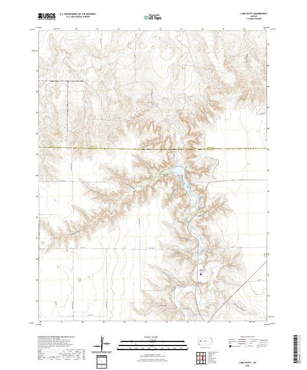
2022 Lake Scott
Scott County, KS
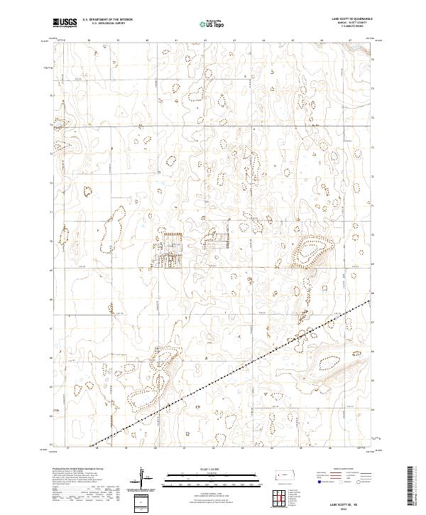
2022 Lake Scott SE
Scott County, KS
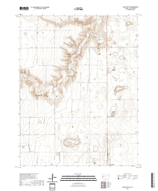
2022 Lake Scott SW
Scott County, KS
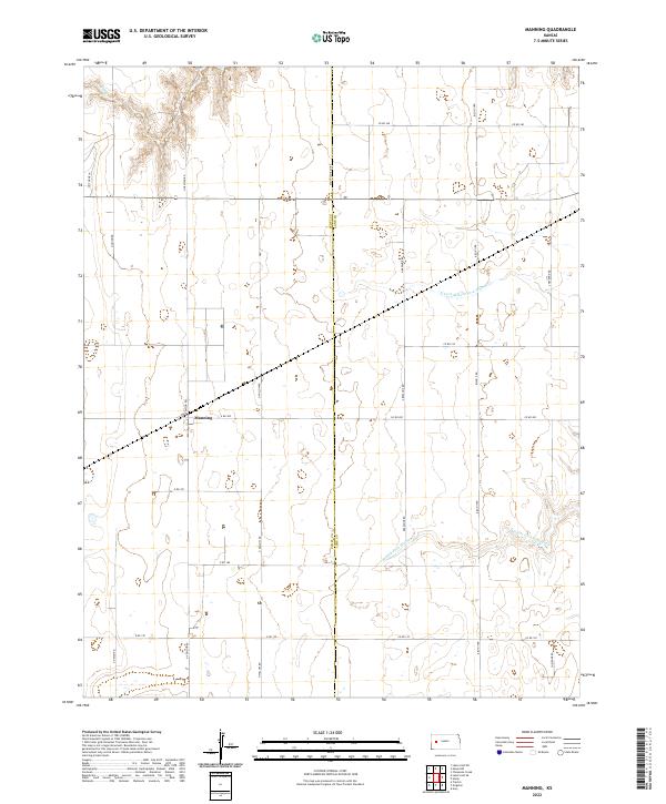
2022 Manning
Scott County, KS
2022 Modoc
Scott County, KS
2022 Modoc SE
Scott County, KS
2022 Pawnee Mound
Scott County, KS
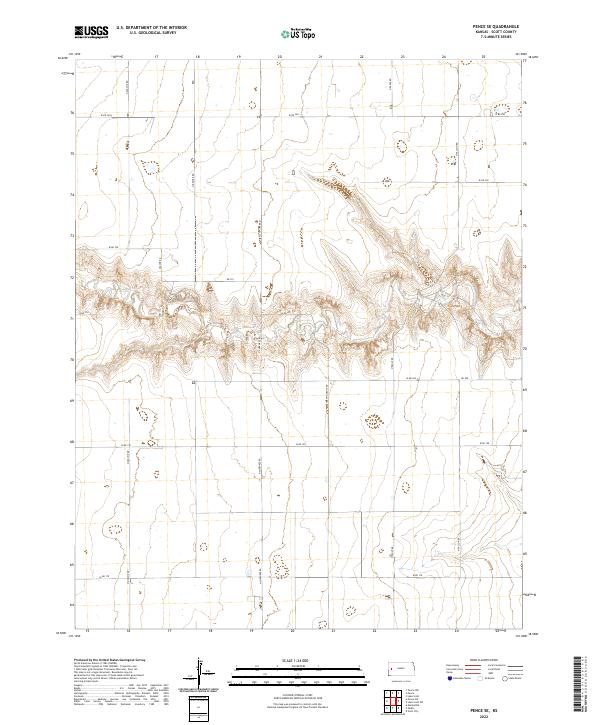
2022 Pence
Scott County, KS
2022 Pence SE
Scott County, KS
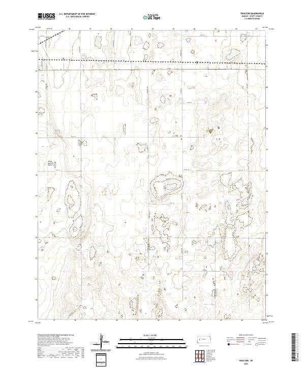
2022 Tractor
Scott County, KS