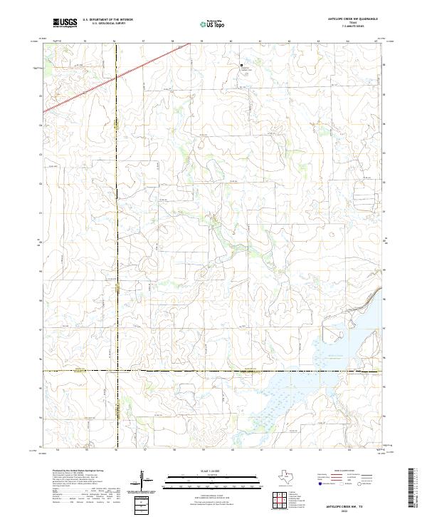
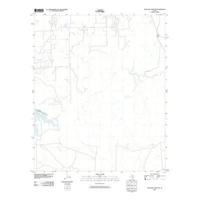
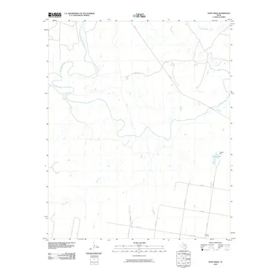
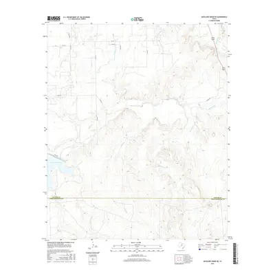
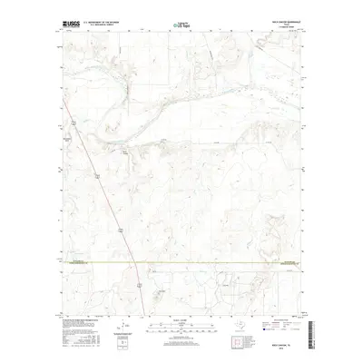
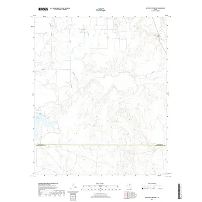
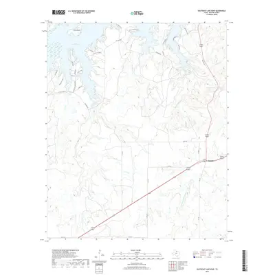
2022 Map of Antelope Creek NW
USGS Topo · Published 2022About this map
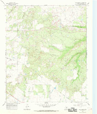
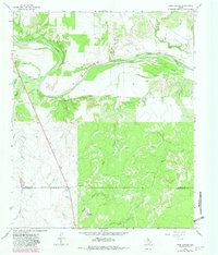
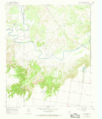
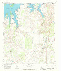
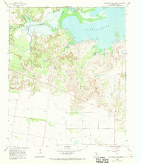
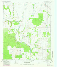
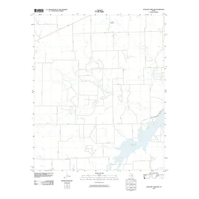
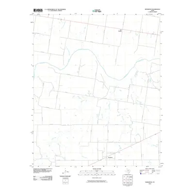
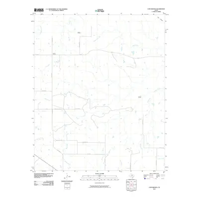
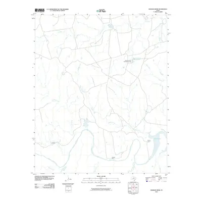
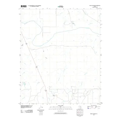
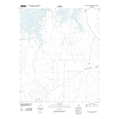
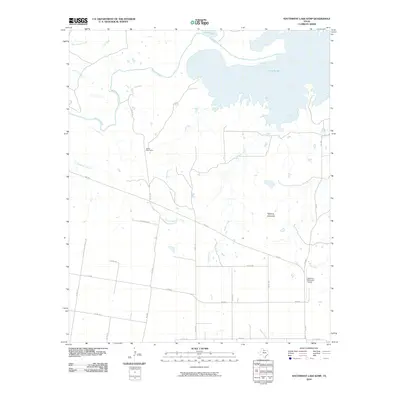
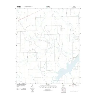
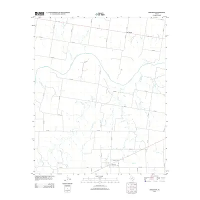
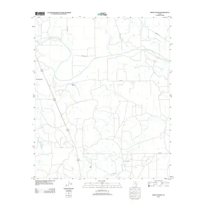
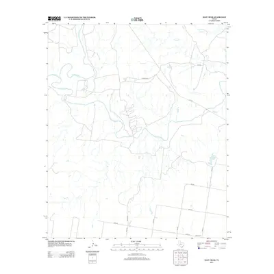
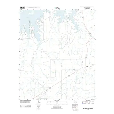
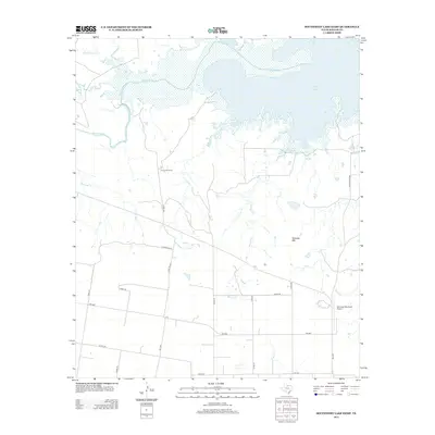
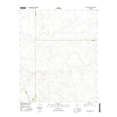
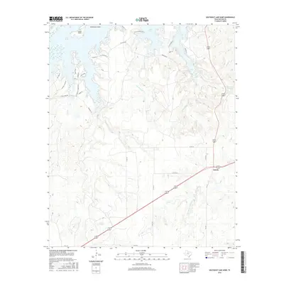
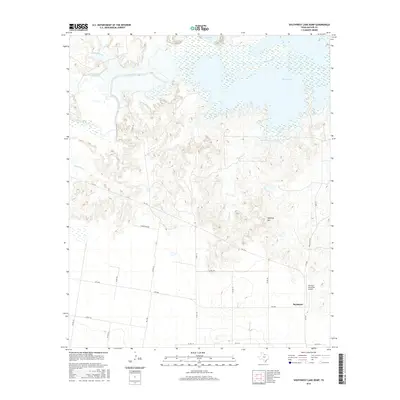
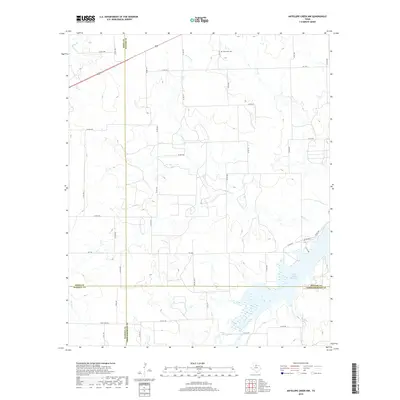
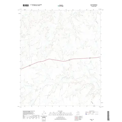
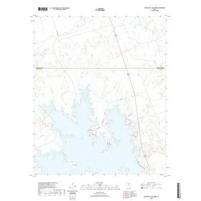
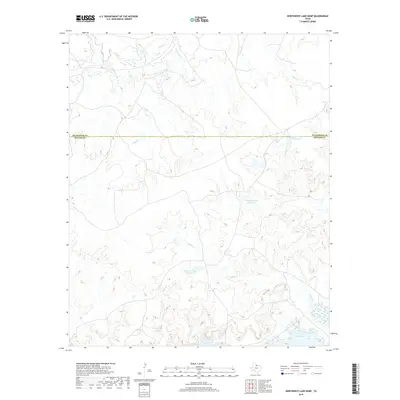
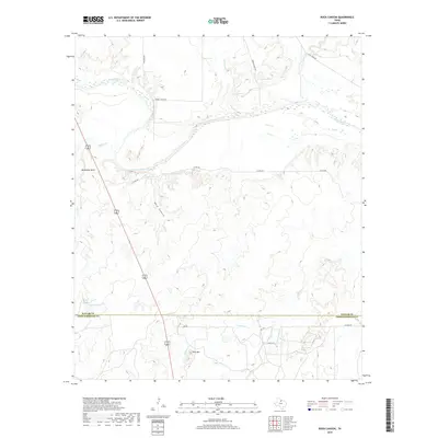
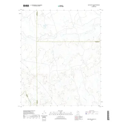
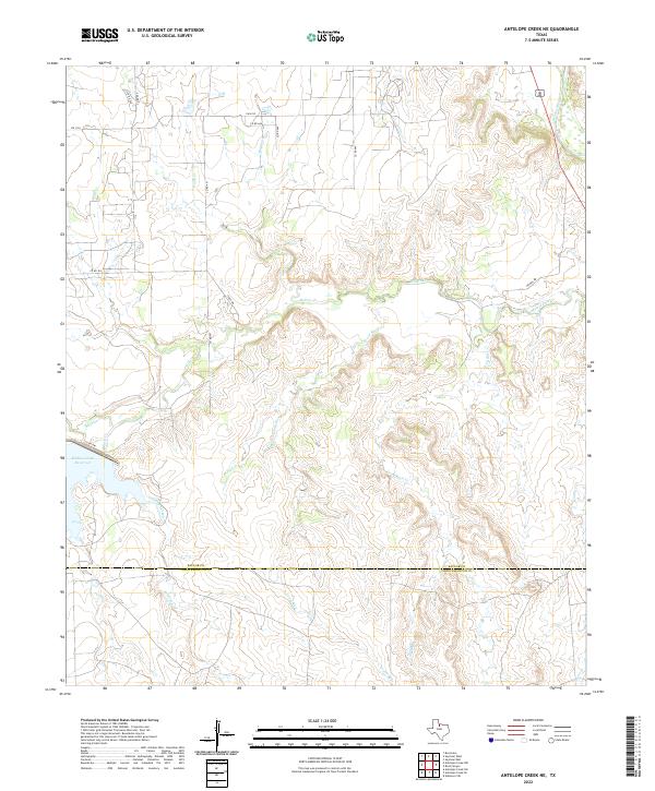
Bomarton Catholic Cem stands as a quiet cultural anchor in the northern reaches of this rural landscape, situated near the headwaters of Mexican Cr. This modern 2022 survey captures the sprawling hydrological network of north-central Texas, where seasonal drainages like Lake Cr and Rocky Cr carve through a grid of county roads. The southern portion of the quadrangle is dominated by the sprawling waters of the Millers Creek Reservoir, a significant impoundment on Millers Creek that serves the surrounding agricultural region. The map also records the precise convergence of four Texas counties: Baylor, Knox, Haskell, and Throckmorton. The intersection of FM 1608 and various local routes like Rock Rd illustrates the enduring rural infrastructure connecting remote ranching and farming operations across these county lines.
Find a feature on this map
45 named features on this map. Tap any name to fly to it.
Don’t see what you’re looking for? This feature index may not catch every label — zoom into the map to look around manually.
Map Details
Editions of this 2022 Antelope Creek NW Map
This is the sole edition of this map. No revisions or reprints were ever made.
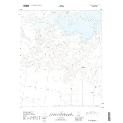
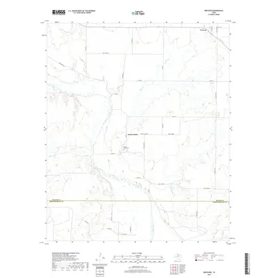
Historical Maps of Baylor County Through Time
96 maps found
1962 Antelope Creek NE
Baylor County, TX
1962 Antelope Creek NW
Baylor County, TX
1966 Bomarton
Baylor County, TX
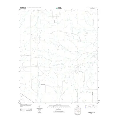
1966 Cope Branch
Baylor County, TX
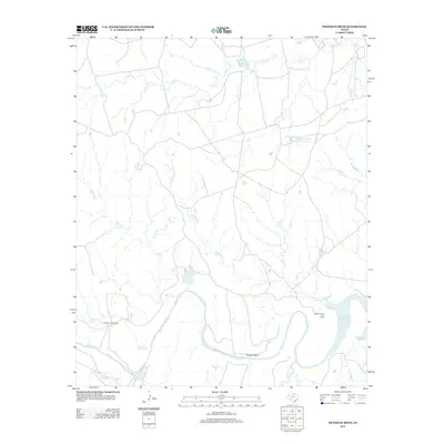
1966 Franklin Bend
Baylor County, TX

1966 Fulda
Baylor County, TX
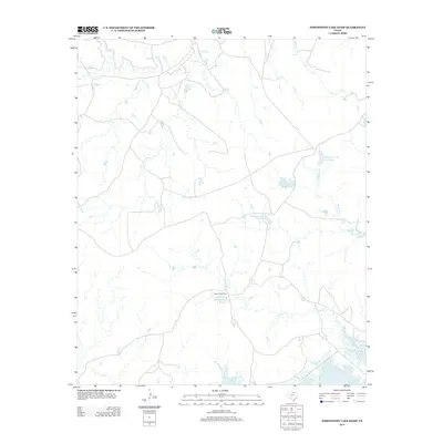
1966 Northeast Lake Kemp
Baylor County, TX
1966 Northwest Lake Kemp
Baylor County, TX
1966 Rock Canyon
Baylor County, TX
1966 Santa Rosa Lake SW
Baylor County, TX
1966 Seymour East
Baylor County, TX
1966 Seymour West
Baylor County, TX
1966 Soap Creek
Baylor County, TX
1966 Southeast Lake Kemp
Baylor County, TX
1966 Southwest Lake Kemp
Baylor County, TX
1966 Westover
Baylor County, TX
2010 Antelope Creek NE
Baylor County, TX
2010 Antelope Creek NW
Baylor County, TX
2010 Bomarton
Baylor County, TX
2010 Cope Branch
Baylor County, TX
2010 Franklin Bend
Baylor County, TX
2010 Fulda
Baylor County, TX
2010 Northeast Lake Kemp
Baylor County, TX
2010 Northwest Lake Kemp
Baylor County, TX
2010 Rock Canyon
Baylor County, TX
2010 Santa Rosa Lake SW
Baylor County, TX
2010 Seymour East
Baylor County, TX
2010 Seymour West
Baylor County, TX
2010 Soap Creek
Baylor County, TX
2010 Southeast Lake Kemp
Baylor County, TX
2010 Southwest Lake Kemp
Baylor County, TX
2010 Westover
Baylor County, TX
2012 Antelope Creek NW
Baylor County, TX
2012 Fulda
Baylor County, TX
2012 Northeast Lake Kemp
Baylor County, TX
2013 Antelope Creek NE
Baylor County, TX
2013 Bomarton
Baylor County, TX
2013 Cope Branch
Baylor County, TX
2013 Franklin Bend
Baylor County, TX
2013 Northwest Lake Kemp
Baylor County, TX
2013 Rock Canyon
Baylor County, TX
2013 Santa Rosa Lake SW
Baylor County, TX
2013 Seymour East
Baylor County, TX
2013 Seymour West
Baylor County, TX
2013 Soap Creek
Baylor County, TX
2013 Southeast Lake Kemp
Baylor County, TX
2013 Southwest Lake Kemp
Baylor County, TX
2013 Westover
Baylor County, TX
2016 Antelope Creek NE
Baylor County, TX
2016 Antelope Creek NW
Baylor County, TX
2016 Bomarton
Baylor County, TX
2016 Cope Branch
Baylor County, TX

2016 Franklin Bend
Baylor County, TX
2016 Fulda
Baylor County, TX
2016 Northeast Lake Kemp
Baylor County, TX
2016 Northwest Lake Kemp
Baylor County, TX
2016 Rock Canyon
Baylor County, TX
2016 Santa Rosa Lake SW
Baylor County, TX
2016 Seymour East
Baylor County, TX
2016 Seymour West
Baylor County, TX
2016 Soap Creek
Baylor County, TX
2016 Southeast Lake Kemp
Baylor County, TX
2016 Southwest Lake Kemp
Baylor County, TX
2016 Westover
Baylor County, TX
2019 Antelope Creek NE
Baylor County, TX
2019 Antelope Creek NW
Baylor County, TX
2019 Bomarton
Baylor County, TX
2019 Cope Branch
Baylor County, TX
2019 Franklin Bend
Baylor County, TX
2019 Fulda
Baylor County, TX
2019 Northeast Lake Kemp
Baylor County, TX
2019 Northwest Lake Kemp
Baylor County, TX
2019 Rock Canyon
Baylor County, TX
2019 Santa Rosa Lake SW
Baylor County, TX
2019 Seymour East
Baylor County, TX
2019 Seymour West
Baylor County, TX
2019 Soap Creek
Baylor County, TX
2019 Southeast Lake Kemp
Baylor County, TX
2019 Southwest Lake Kemp
Baylor County, TX
2019 Westover
Baylor County, TX
2022 Antelope Creek NE
Baylor County, TX
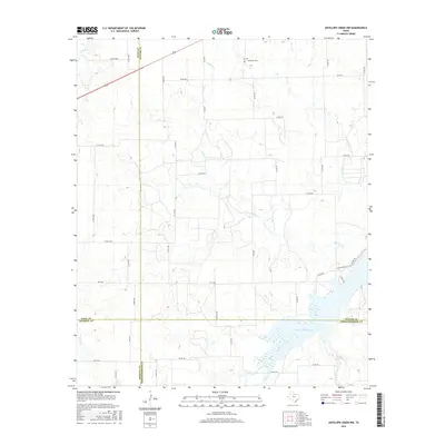
2022 Antelope Creek NW
Baylor County, TX
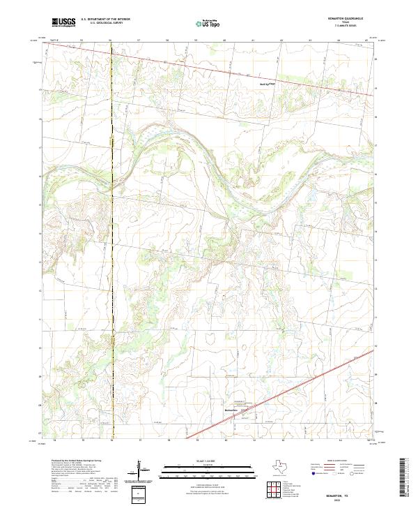
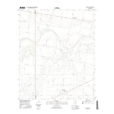
2022 Bomarton
Baylor County, TX
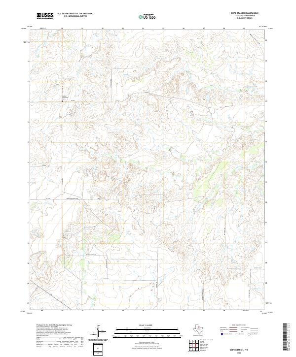
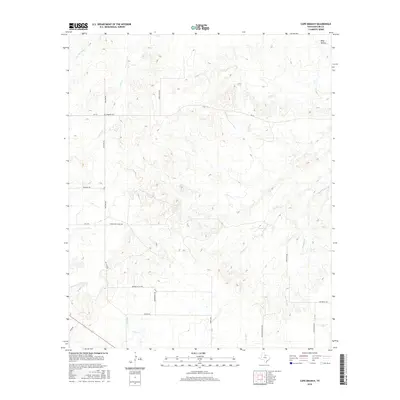
2022 Cope Branch
Baylor County, TX
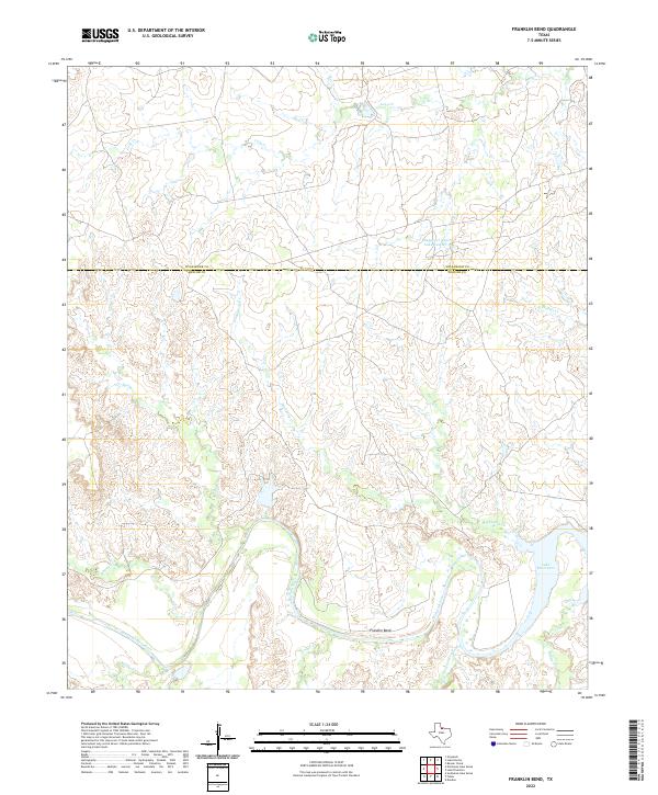
2022 Franklin Bend
Baylor County, TX
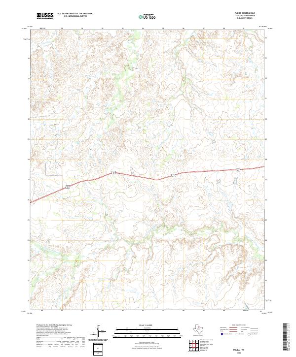
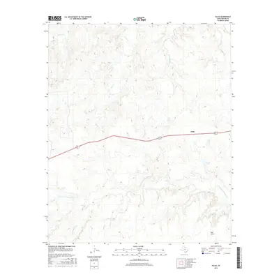
2022 Fulda
Baylor County, TX
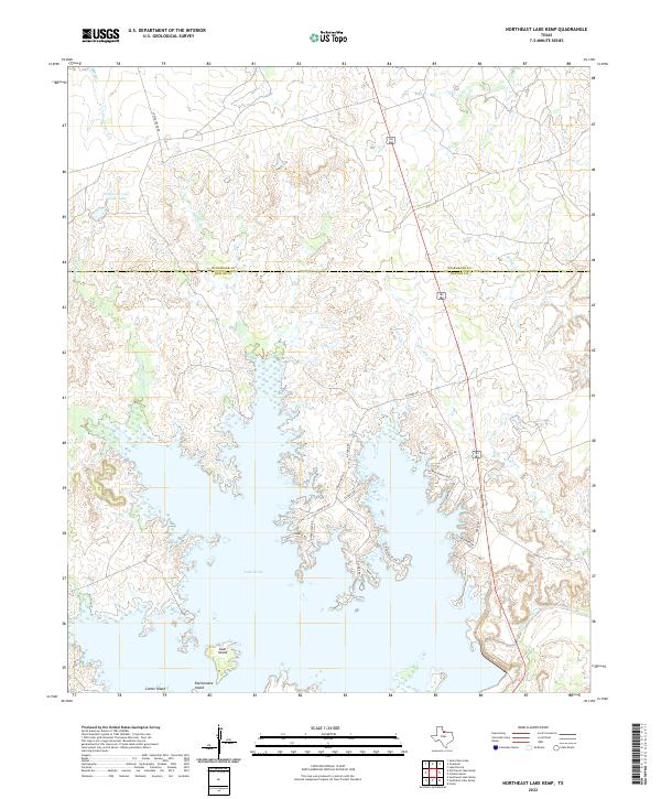
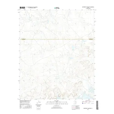
2022 Northeast Lake Kemp
Baylor County, TX
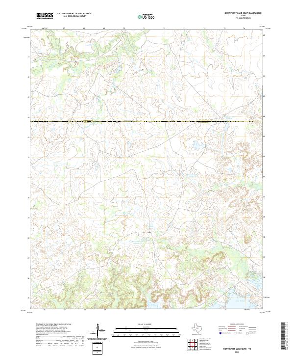
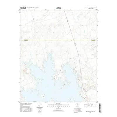
2022 Northwest Lake Kemp
Baylor County, TX
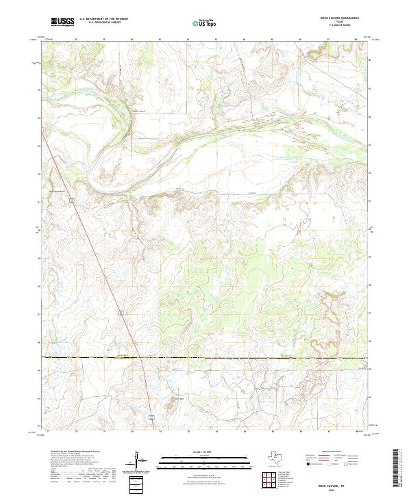
2022 Rock Canyon
Baylor County, TX
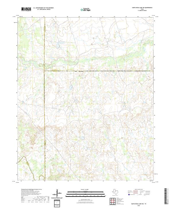
2022 Santa Rosa Lake SW
Baylor County, TX
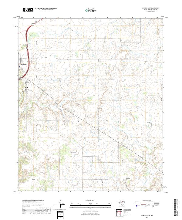
2022 Seymour East
Baylor County, TX
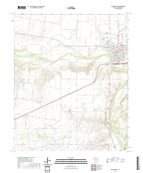
2022 Seymour West
Baylor County, TX
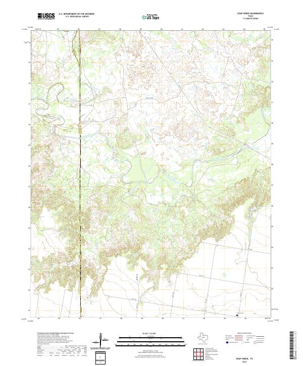
2022 Soap Creek
Baylor County, TX
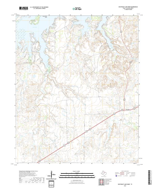
2022 Southeast Lake Kemp
Baylor County, TX
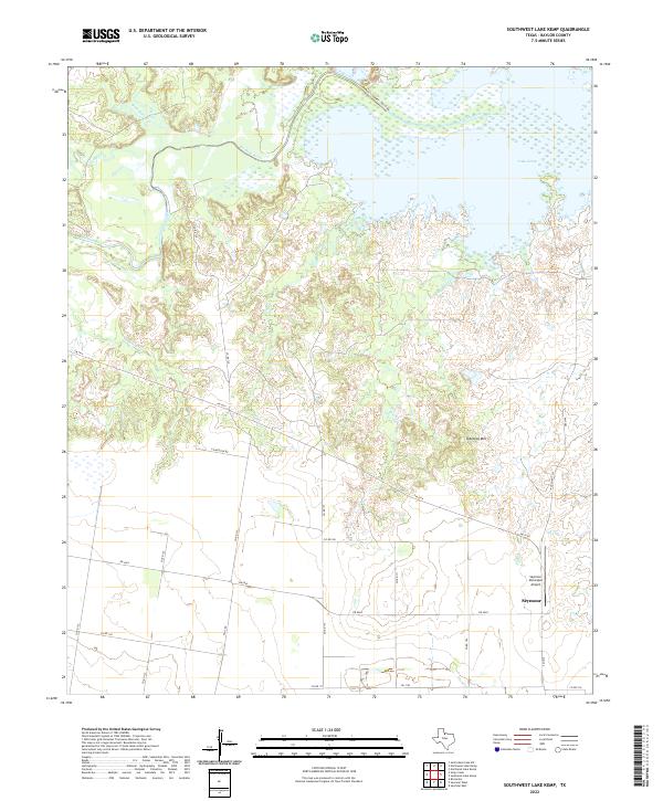
2022 Southwest Lake Kemp
Baylor County, TX
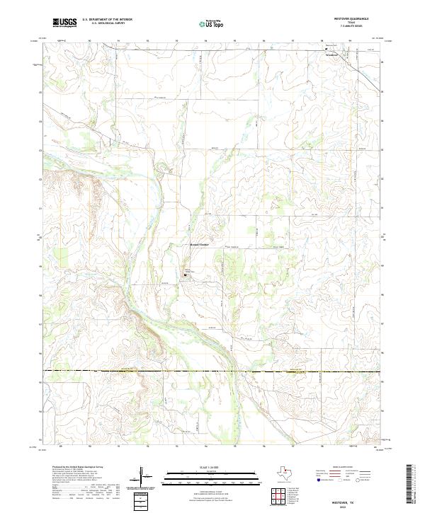
2022 Westover
Baylor County, TX