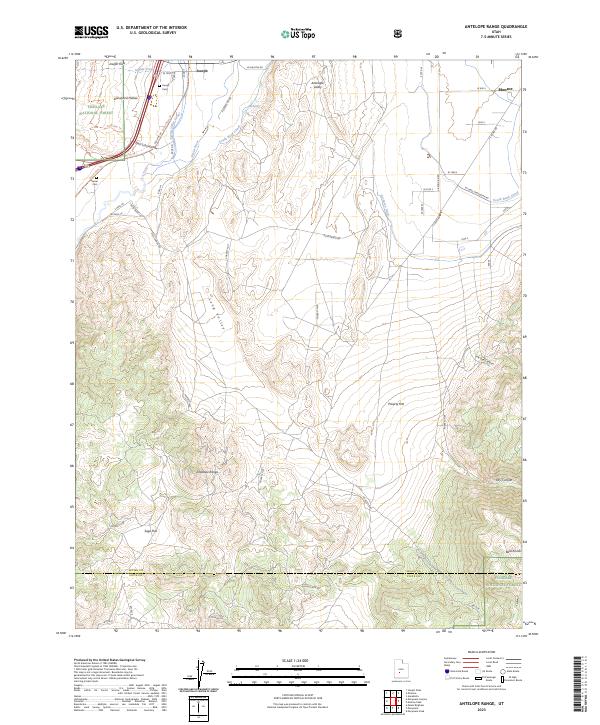
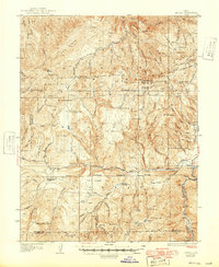
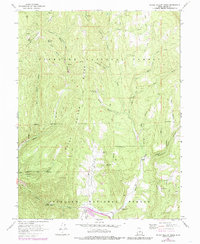
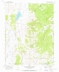
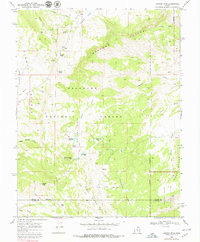
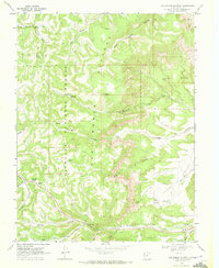
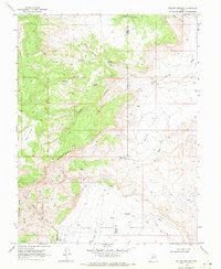
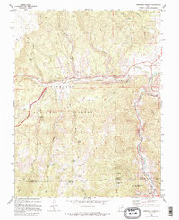
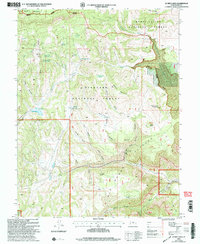
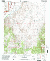
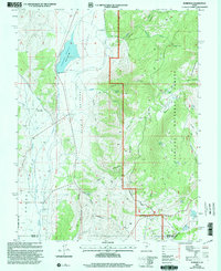
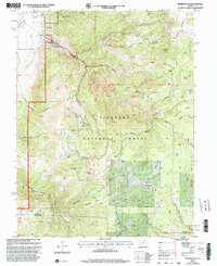
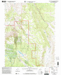
2023 Map of Antelope Range
USGS Topo · Published 2023About this map
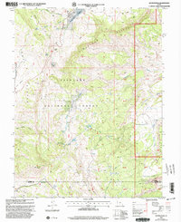
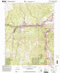
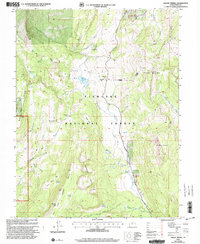
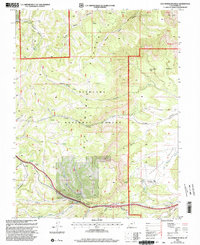
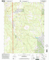
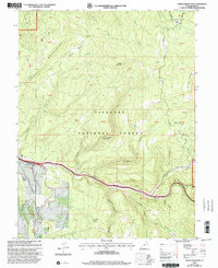
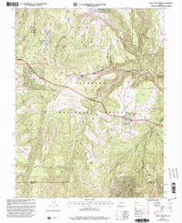
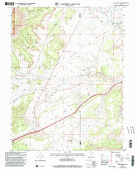
The Sevier River and its accompanying irrigation works, such as the Sevier-Valley Canal and South Bend Canal, define the agricultural life of this valley south of Elsinore. This modern record shows the enduring footprint of settlements like Joseph and the outskirts of Monroe, where local history is anchored by the Joseph Cem and Sevier Cem. The landscape transitions sharply from the irrigated Joseph Flats to the arid elevations of the Antelope Range and the Bald Knolls.
Find a feature on this map
46 named features on this map. Tap any name to fly to it.
Don’t see what you’re looking for? This feature index may not catch every label — zoom into the map to look around manually.
Map Details
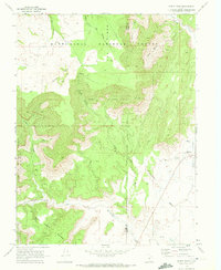
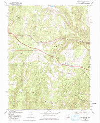
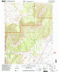
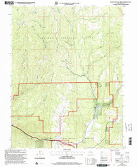
Editions of this 2023 Antelope Range Map
This is the sole edition of this map. No revisions or reprints were ever made.
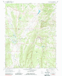
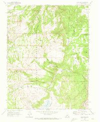
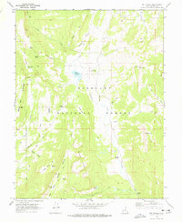
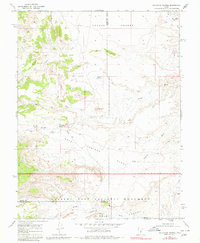
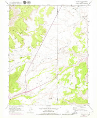
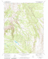
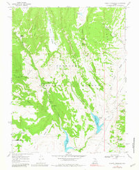
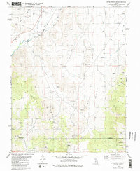
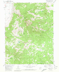
Historical Maps of Cove Through Time
83 maps found

1885 Fish Lake
Sevier County, UT
1896 Fish Lake
Sevier County, UT
1922 Emery No.3
Sevier County, UT
1925 Acord Lakes
Sevier County, UT

1932 Sevier
Sevier County, UT
1935 Sevier
Sevier County, UT
1966 Gooseberry Creek
Sevier County, UT
1966 Rex Reservoir
Sevier County, UT
1966 Steves Mtn
Sevier County, UT
1966 Water Hollow Ridge
Sevier County, UT
1966 Yogo Creek
Sevier County, UT
1968 Acord Lakes
Sevier County, UT
1968 Boobe Hole Reservoir
Sevier County, UT
1968 Burrville
Sevier County, UT
1968 Emery West
Sevier County, UT
1968 Fish Lake
Sevier County, UT
1968 Forsyth Reservoir
Sevier County, UT
1968 Geyser Peak
Sevier County, UT
1968 Hilgard Mtn
Sevier County, UT
1968 Johns Peak
Sevier County, UT
1968 Mt Terrill
Sevier County, UT
1968 Old Woman Plateau
Sevier County, UT
1968 Solomons Temple
Sevier County, UT
1968 Walker Flat
Sevier County, UT
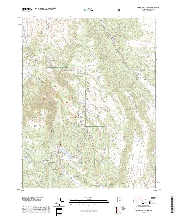
1968 Water Creek Canyon
Sevier County, UT
1968 Willow Springs
Sevier County, UT
1976 Forsyth Reservoir
Sevier County, UT
1980 Antelope Range
Sevier County, UT
1980 Monroe Peak
Sevier County, UT
1981 Marysvale Canyon
Sevier County, UT
1981 Trail Mountain
Sevier County, UT
1986 Beehive Peak
Sevier County, UT
1986 White Pine Peak
Sevier County, UT
2001 Acord Lakes
Sevier County, UT
2001 Antelope Range
Sevier County, UT
2001 Beehive Peak
Sevier County, UT
2001 Boobe Hole Reservoir
Sevier County, UT
2001 Burrville
Sevier County, UT
2001 Emery West
Sevier County, UT
2001 Fish Lake
Sevier County, UT
2001 Forsyth Reservoir
Sevier County, UT
2001 Geyser Peak
Sevier County, UT
2001 Gooseberry Creek
Sevier County, UT
2001 Hilgard Mountain
Sevier County, UT
2001 Johns Peak
Sevier County, UT
2001 Marysvale Canyon
Sevier County, UT
2001 Monroe Peak
Sevier County, UT
2001 Mount Terrill
Sevier County, UT
2001 Old Woman Plateau
Sevier County, UT
2001 Rex Reservoir
Sevier County, UT
2001 Steves Mountain
Sevier County, UT
2001 Trail Mountain
Sevier County, UT
2001 Walker Flat
Sevier County, UT
2001 Water Creek Canyon
Sevier County, UT
2001 Water Hollow Ridge
Sevier County, UT
2001 White Pine Peak
Sevier County, UT
2001 Yogo Creek
Sevier County, UT
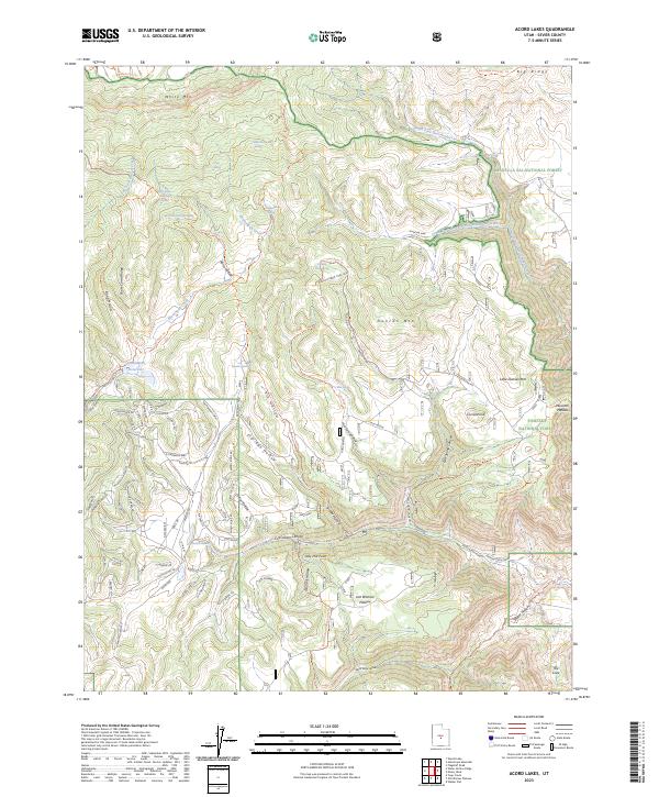
2023 Acord Lakes
Sevier County, UT
2023 Antelope Range
Sevier County, UT
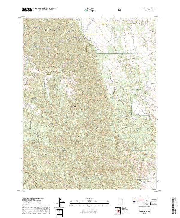
2023 Beehive Peak
Sevier County, UT
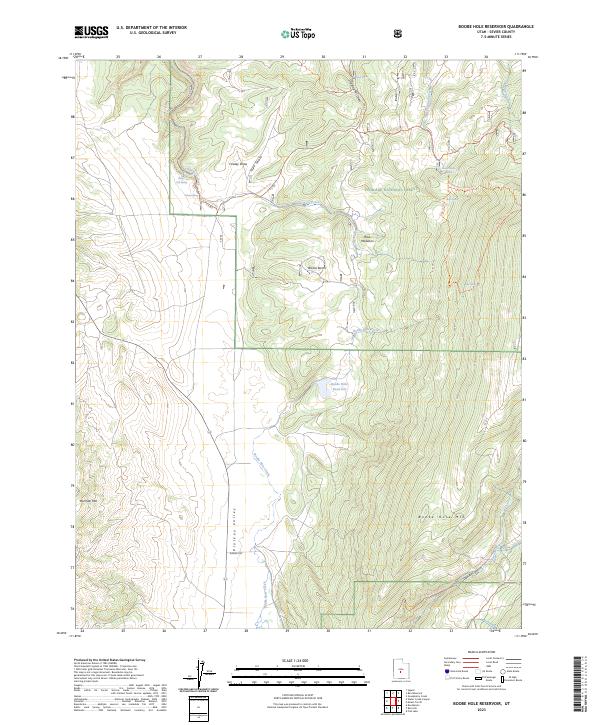
2023 Boobe Hole Reservoir
Sevier County, UT
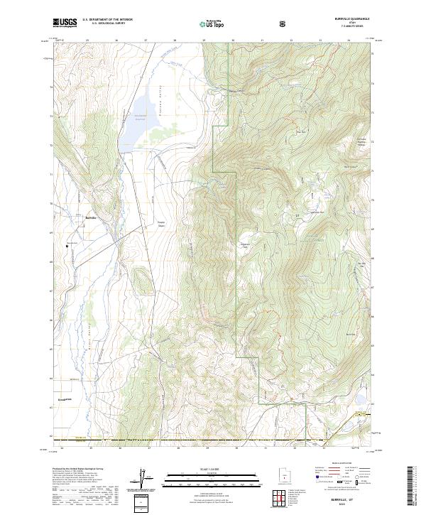
2023 Burrville
Sevier County, UT
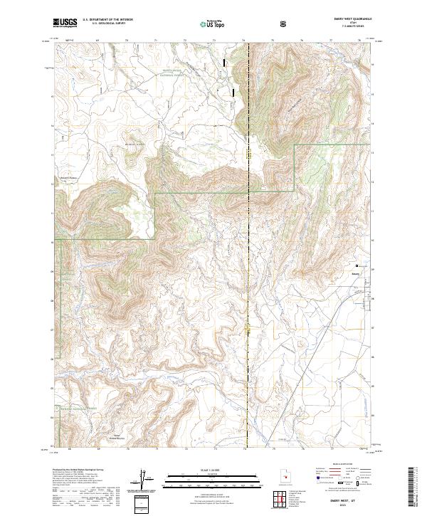
2023 Emery West
Sevier County, UT
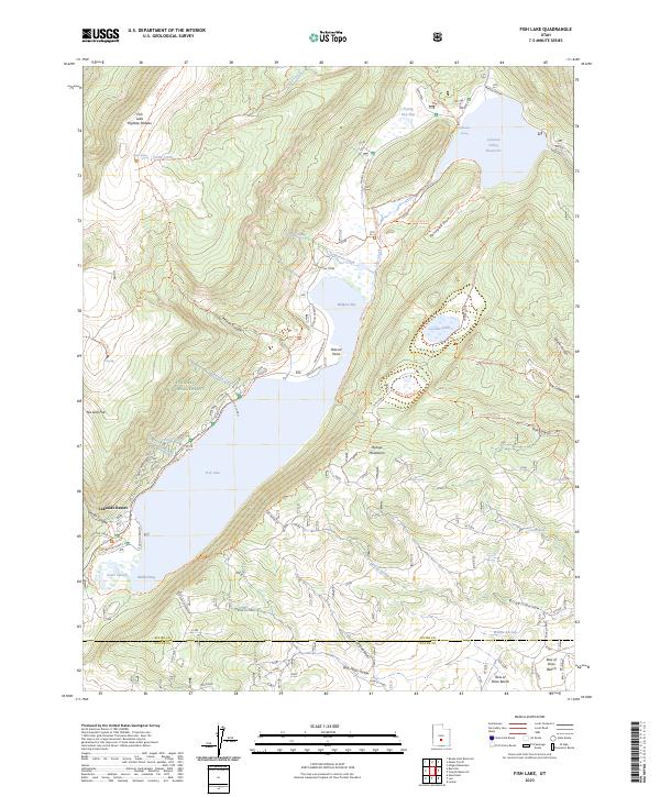
2023 Fish Lake
Sevier County, UT
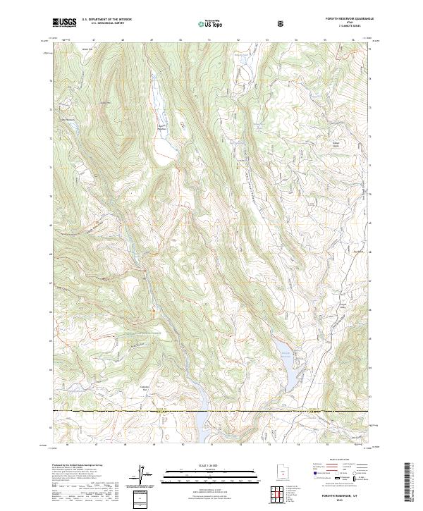
2023 Forsyth Reservoir
Sevier County, UT
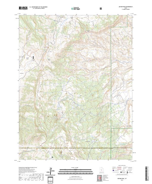
2023 Geyser Peak
Sevier County, UT
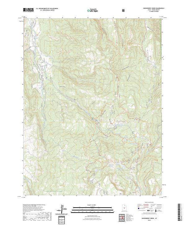
2023 Gooseberry Creek
Sevier County, UT
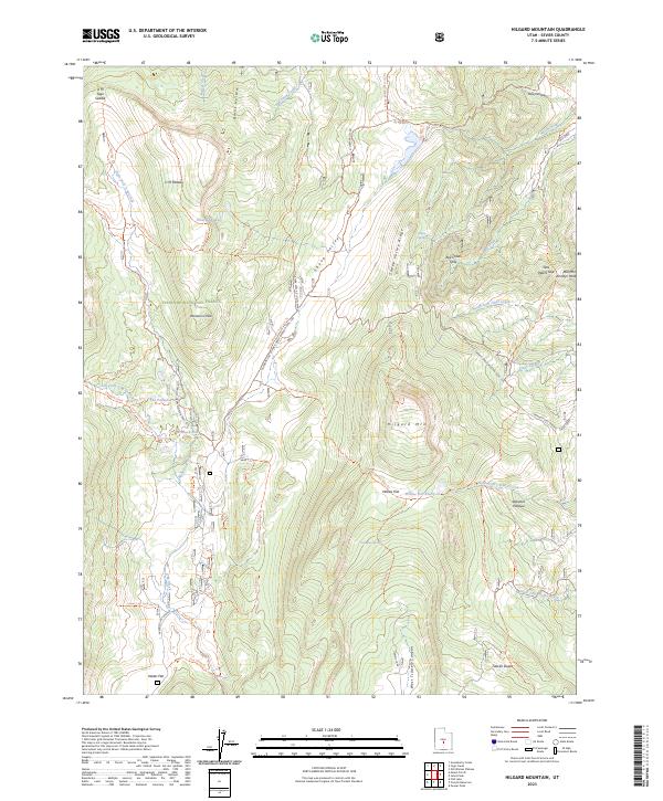
2023 Hilgard Mountain
Sevier County, UT
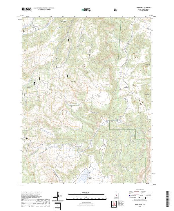
2023 Johns Peak
Sevier County, UT
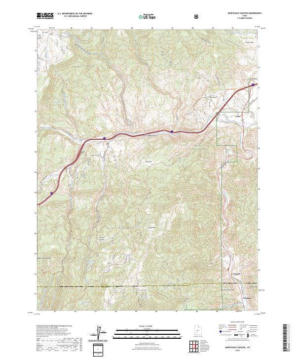
2023 Marysvale Canyon
Sevier County, UT
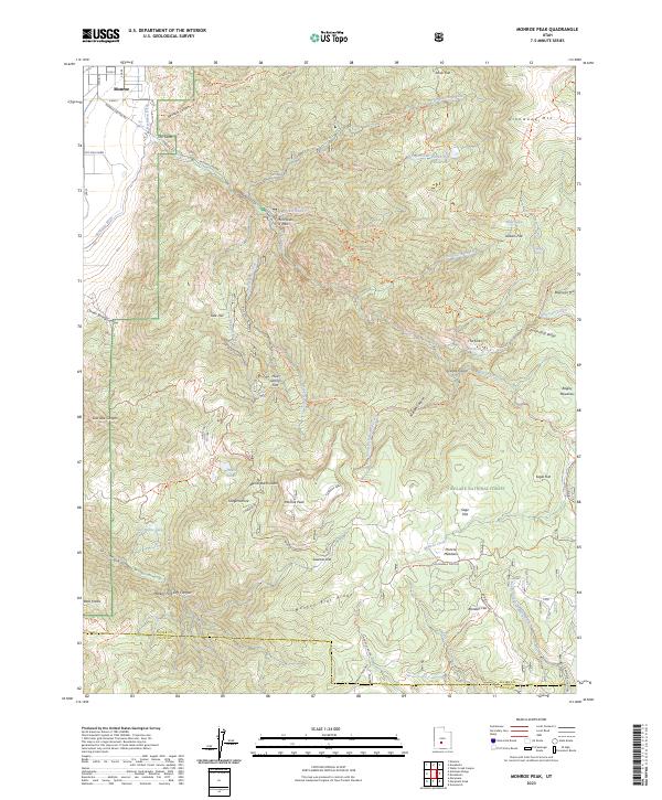
2023 Monroe Peak
Sevier County, UT
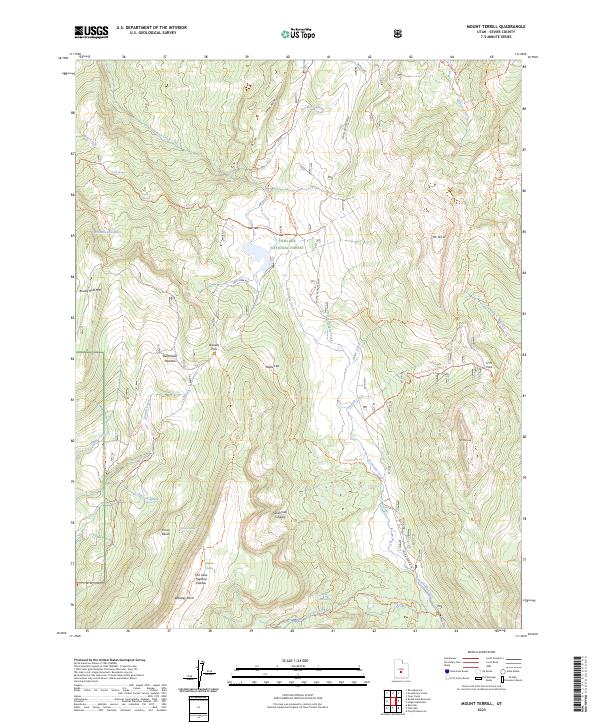
2023 Mount Terrill
Sevier County, UT
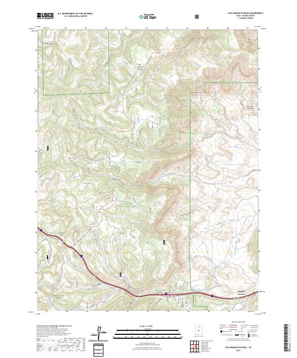
2023 Old Woman Plateau
Sevier County, UT
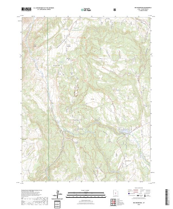
2023 Rex Reservoir
Sevier County, UT
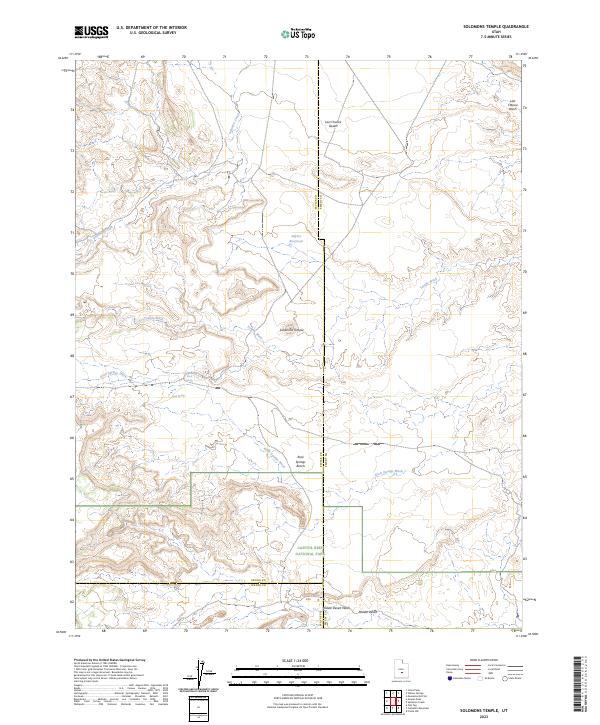
2023 Solomons Temple
Sevier County, UT
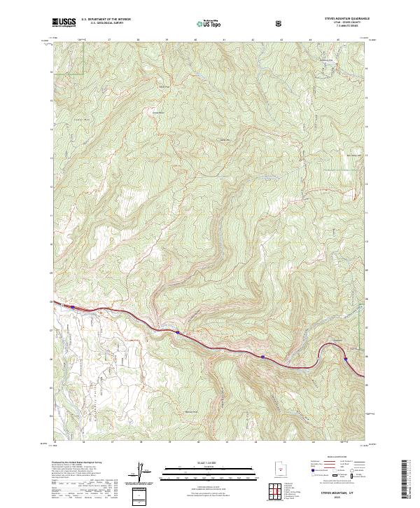
2023 Steves Mountain
Sevier County, UT
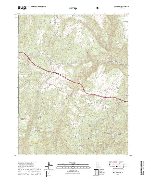
2023 Trail Mountain
Sevier County, UT
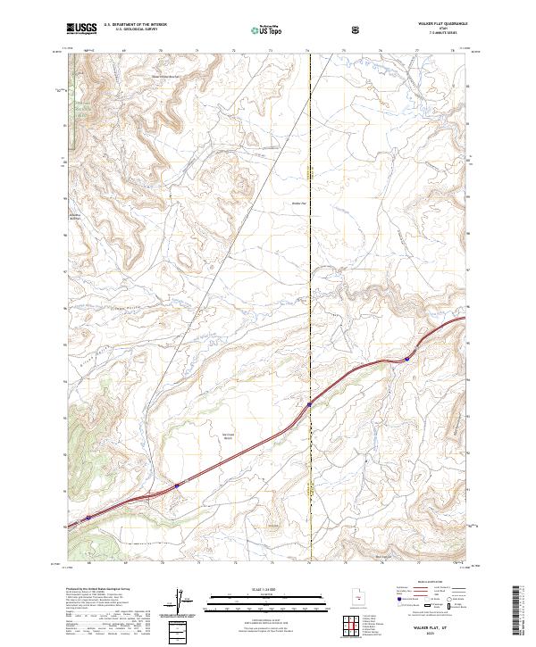
2023 Walker Flat
Sevier County, UT
2023 Water Creek Canyon
Sevier County, UT
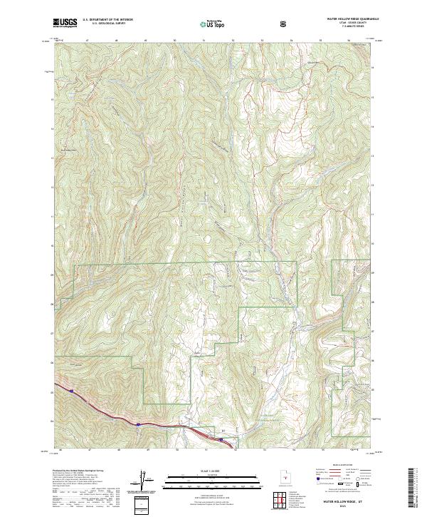
2023 Water Hollow Ridge
Sevier County, UT
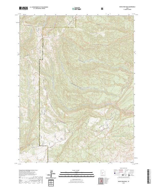
2023 White Pine Peak
Sevier County, UT
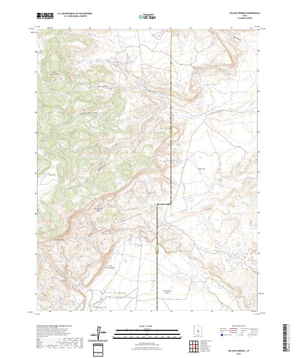
2023 Willow Springs
Sevier County, UT
2023 Yogo Creek
Sevier County, UT