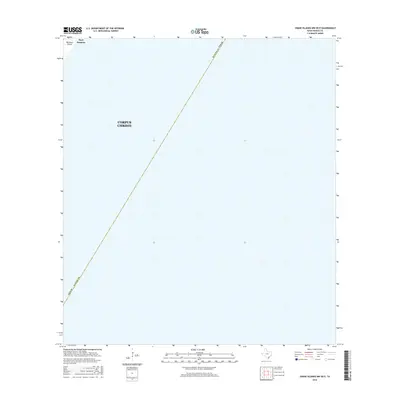
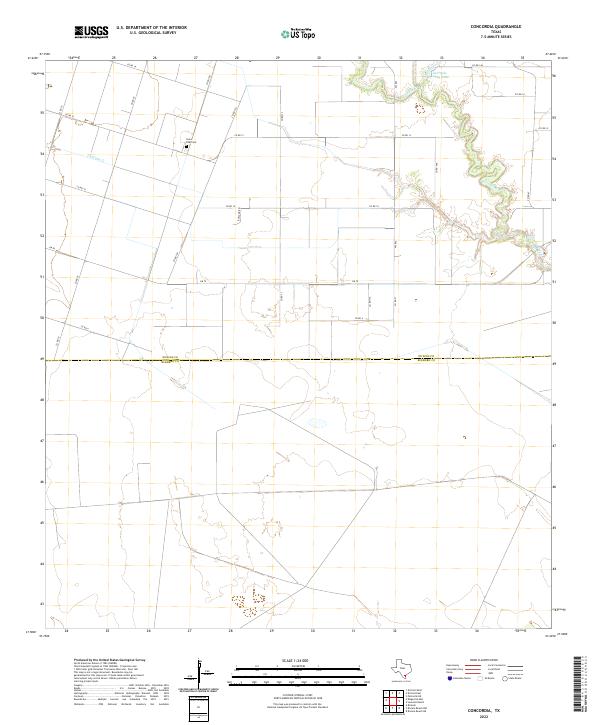
2025 Map of Crane Islands NW OE E
USGS Topo · Published 2025About this map
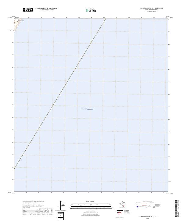
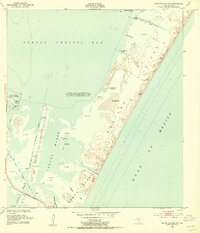
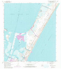
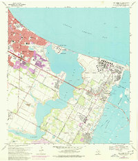
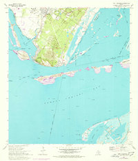
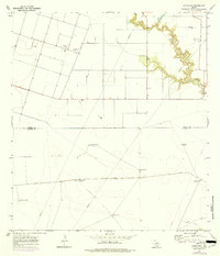
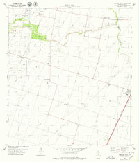
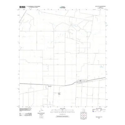
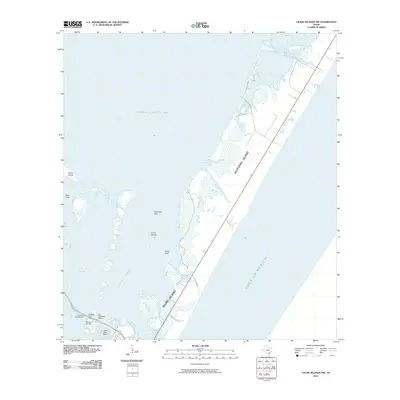
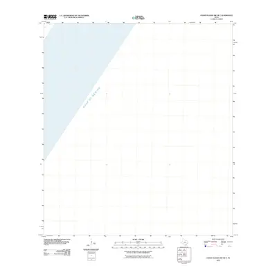
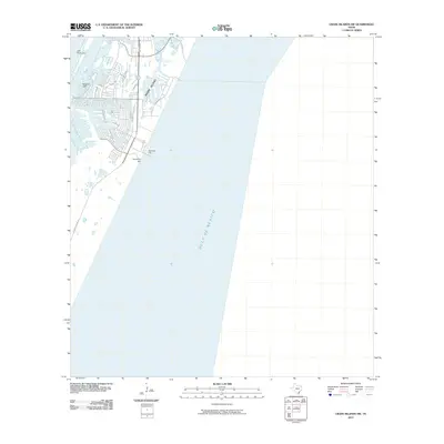
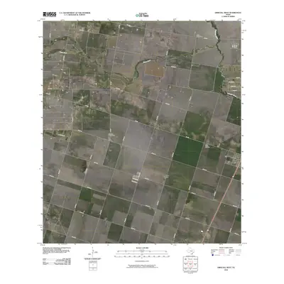
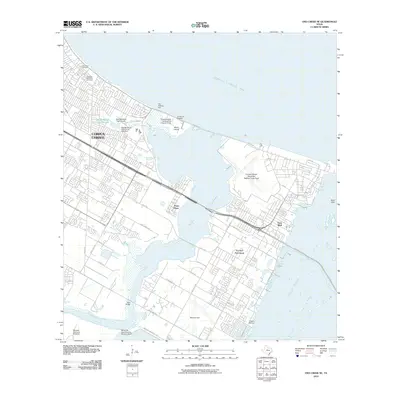
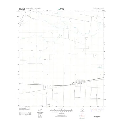
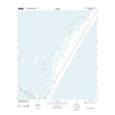
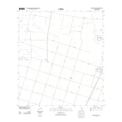
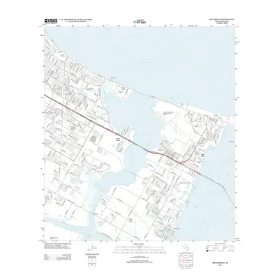
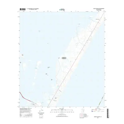
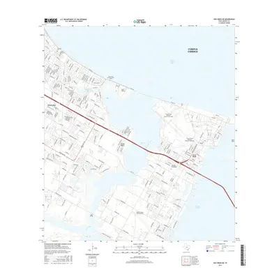
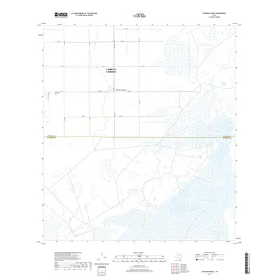
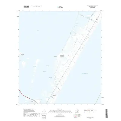
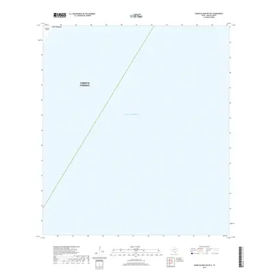
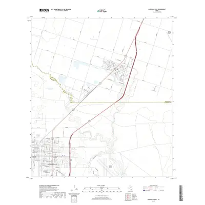
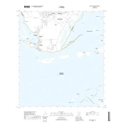
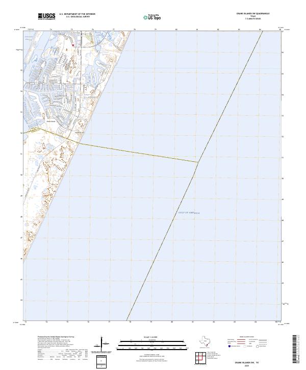
Mustang Island defines the western edge of this coastal survey, where the barrier island landform transitions into the open expanse of the Gulf of America. This specific sheet, produced by the U.S. Geological Survey, focuses almost exclusively on the maritime environment and the delicate boundary between the Texas shoreline and the sea. The sparse terrestrial data reflects the low-lying, shifting nature of the island terrain in this portion of Nueces County. Researchers and maritime historians can examine the precise coastal coordinates and the bathymetric orientation of the Gulf waters as they were mapped in the mid-2020s, providing a reference point for shoreline change and barrier island stability.
Find a feature on this map
2 named features on this map. Tap any name to fly to it.
Don’t see what you’re looking for? This feature index may not catch every label — zoom into the map to look around manually.
Map Details
Editions of this 2025 Crane Islands NW OE E Map
This is the sole edition of this map. No revisions or reprints were ever made.
Historical Maps of Corpus Christi Through Time
107 maps found
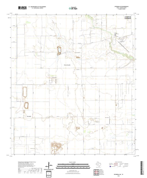
1924 Petronilla
Nueces County, TX
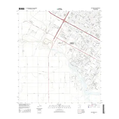
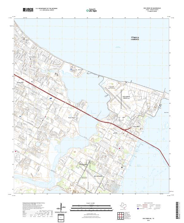
1925 Oso Creek
Nueces County, TX
1951 Crane Islands
Nueces County, TX
1951 Crane Islands NW
Nueces County, TX
1951 Crane Islands SW
Nueces County, TX
1951 Oso Creek NE
Nueces County, TX
1951 Oso Creek
Nueces County, TX
1951 Oso Creek NW
Nueces County, TX
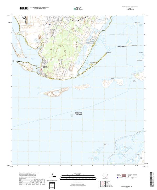
1954 Port Ingleside
Nueces County, TX
1968 Crane Islands NW
Nueces County, TX
1968 Crane Islands SW
Nueces County, TX
1968 Oso Creek NE
Nueces County, TX
1968 Oso Creek NW
Nueces County, TX
1968 Port Ingleside
Nueces County, TX
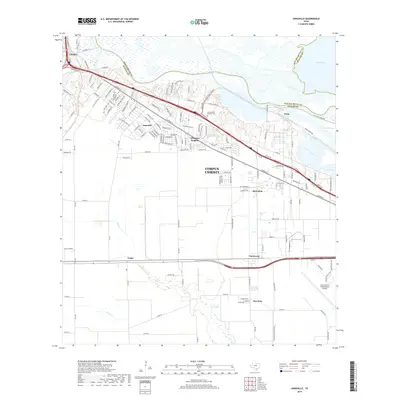
1969 Annaville
Nueces County, TX

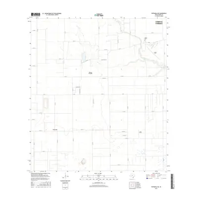
1969 Chapman Ranch
Nueces County, TX
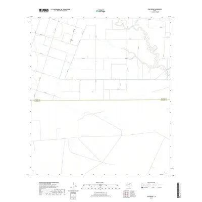
1969 Concordia
Nueces County, TX
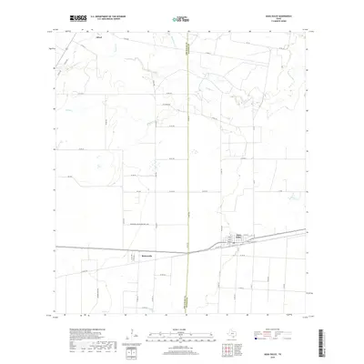
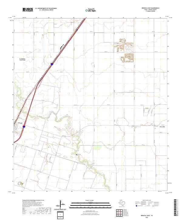
1969 Driscoll East
Nueces County, TX
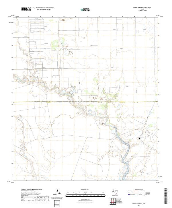
1969 Laureles Ranch
Nueces County, TX
1969 Petronila NE
Nueces County, TX
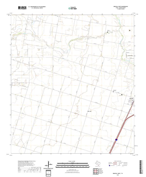
1978 Driscoll West
Nueces County, TX
1979 Agua Dulce
Nueces County, TX
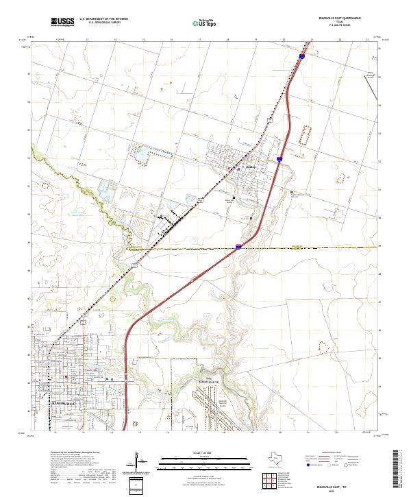
1979 Kingsville East
Nueces County, TX
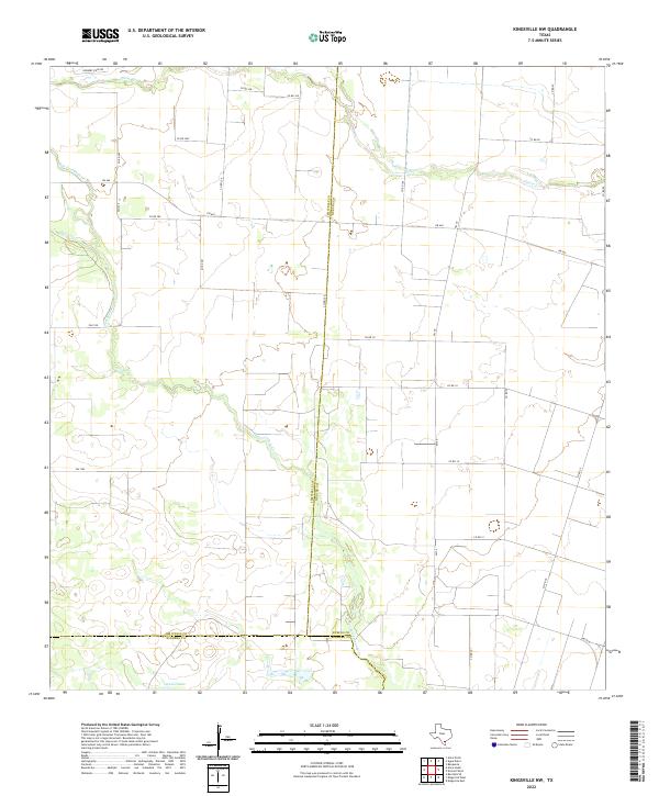
1979 Kingsville NW
Nueces County, TX
2010 Agua Dulce
Nueces County, TX
2010 Annaville
Nueces County, TX
2010 Chapman Ranch
Nueces County, TX
2010 Concordia
Nueces County, TX
2010 Crane Islands NW
Nueces County, TX
2010 Crane Islands NW OE E
Nueces County, TX
2010 Crane Islands SW
Nueces County, TX
2010 Driscoll East
Nueces County, TX
2010 Driscoll West
Nueces County, TX
2010 Kingsville East
Nueces County, TX
2010 Kingsville NW
Nueces County, TX
2010 Laureles Ranch
Nueces County, TX
2010 Oso Creek NE
Nueces County, TX
2010 Oso Creek NW
Nueces County, TX
2010 Petronila NE
Nueces County, TX
2010 Port Ingleside
Nueces County, TX
2013 Agua Dulce
Nueces County, TX
2013 Annaville
Nueces County, TX
2013 Chapman Ranch
Nueces County, TX
2013 Concordia
Nueces County, TX
2013 Crane Islands NW
Nueces County, TX
2013 Crane Islands NW OE E
Nueces County, TX
2013 Crane Islands SW
Nueces County, TX
2013 Driscoll East
Nueces County, TX
2013 Driscoll West
Nueces County, TX
2013 Kingsville East
Nueces County, TX
2013 Kingsville NW
Nueces County, TX
2013 Laureles Ranch
Nueces County, TX
2013 Oso Creek NE
Nueces County, TX

2013 Oso Creek NW
Nueces County, TX
2013 Petronila NE
Nueces County, TX
2013 Port Ingleside
Nueces County, TX
2016 Agua Dulce
Nueces County, TX
2016 Annaville
Nueces County, TX
2016 Chapman Ranch
Nueces County, TX
2016 Concordia
Nueces County, TX
2016 Crane Islands NW
Nueces County, TX
2016 Crane Islands NW OE E
Nueces County, TX
2016 Crane Islands SW
Nueces County, TX
2016 Driscoll East
Nueces County, TX
2016 Driscoll West
Nueces County, TX
2016 Kingsville East
Nueces County, TX
2016 Kingsville NW
Nueces County, TX
2016 Laureles Ranch
Nueces County, TX
2016 Oso Creek NE
Nueces County, TX
2016 Oso Creek NW
Nueces County, TX
2016 Petronila NE
Nueces County, TX
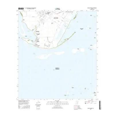
2016 Port Ingleside
Nueces County, TX
2019 Agua Dulce
Nueces County, TX
2019 Annaville
Nueces County, TX
2019 Chapman Ranch
Nueces County, TX
2019 Concordia
Nueces County, TX
2019 Crane Islands NW
Nueces County, TX
2019 Crane Islands NW OE E
Nueces County, TX
2019 Crane Islands SW
Nueces County, TX
2019 Driscoll East
Nueces County, TX
2019 Driscoll West
Nueces County, TX
2019 Kingsville East
Nueces County, TX

2019 Kingsville NW
Nueces County, TX
2019 Laureles Ranch
Nueces County, TX

2019 Oso Creek NE
Nueces County, TX
2019 Oso Creek NW
Nueces County, TX
2019 Petronila NE
Nueces County, TX
2019 Port Ingleside
Nueces County, TX
2022 Agua Dulce
Nueces County, TX
2022 Annaville
Nueces County, TX
2022 Chapman Ranch
Nueces County, TX
2022 Concordia
Nueces County, TX
2022 Crane Islands NW
Nueces County, TX
2022 Crane Islands NW OE E
Nueces County, TX
2022 Crane Islands SW
Nueces County, TX
2022 Driscoll East
Nueces County, TX
2022 Driscoll West
Nueces County, TX
2022 Kingsville East
Nueces County, TX
2022 Kingsville NW
Nueces County, TX
2022 Laureles Ranch
Nueces County, TX
2022 Oso Creek NE
Nueces County, TX
2022 Petronila NE
Nueces County, TX
2022 Port Ingleside
Nueces County, TX
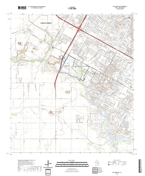
2023 Oso Creek NW
Nueces County, TX
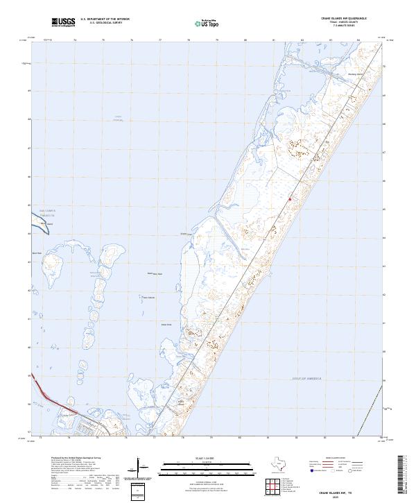
2025 Crane Islands NW
Nueces County, TX
2025 Crane Islands NW OE E
Nueces County, TX
2025 Crane Islands SW
Nueces County, TX