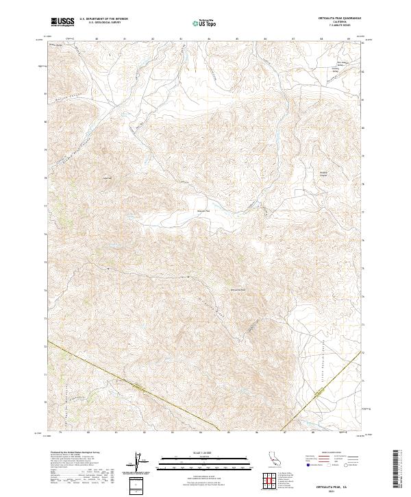
2021 Map of Ortigalita Peak
USGS Topo · Published 2021About this map
Ortigalita Peak and the high elevations of the Diablo Range define this landscape where Merced, San Benito, and Fresno counties meet. This terrain is marked by a complex system of drainages, including the perennial and seasonal flows of Piedra Azul Cr and Ortigalita Creek, which carve deep passages such as Molina Canyon and Piedra Azul Canyon. Cattle ranching and land management are evident through the network of private tracks like Mc Creery Ranch Rd and Paul Negra Rd. The geography transitions from the elevated reaches of the Las Aguilas Mountains in the south down toward the Wisenor Flat and the edges of the San Joaquin Valley in the northeast. Water sources such as Piedra Azul Spring and Carranza Spring provided vital points of interest for early surveyors and land users in this arid, high-country environment.
Find a feature on this map
36 named features on this map. Tap any name to fly to it.
Don’t see what you’re looking for? This feature index may not catch every label — zoom into the map to look around manually.
Map Details
Editions of this 2021 Ortigalita Peak Map
This is the sole edition of this map. No revisions or reprints were ever made.
Other maps of this area

1913 · Panoche
USGS Topo · 1:125,000

1919 · San Benito
USGS Topo · 1:62,500

1920 · Carrisalito Spring
USGS Topo · 1:31,680

1921 · Laguna Seca Ranch
USGS Topo · 1:31,680

1922 · Charleston School
USGS Topo · 1:31,680

1922 · Quien Sabe
USGS Topo · 1:62,500

1922 · Ortigalita
USGS Topo · 1:31,680

1923 · Laguna Seca Ranch
USGS Topo · 1:31,680

1931 · San Benito
USGS Topo · 1:62,500

1940 · Quien Sabe
USGS Topo · 1:62,500