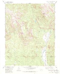
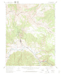
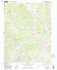
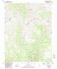
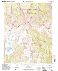
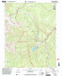
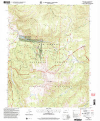
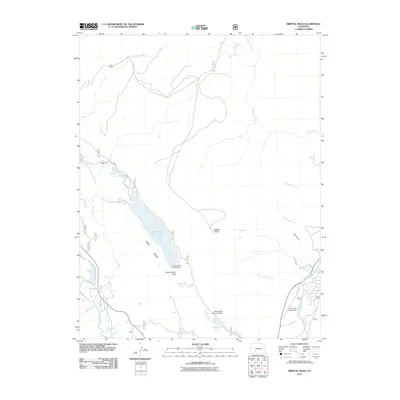
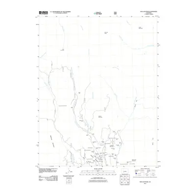
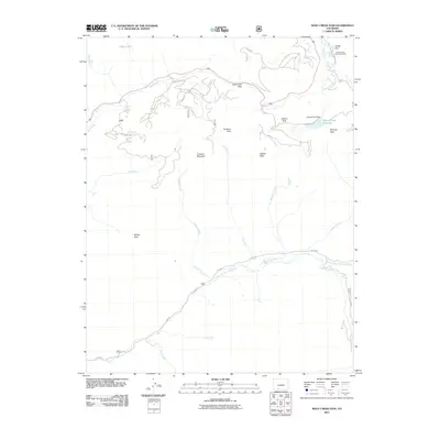
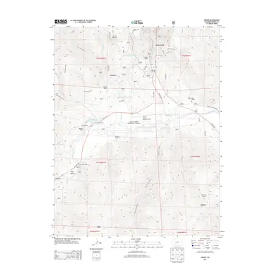
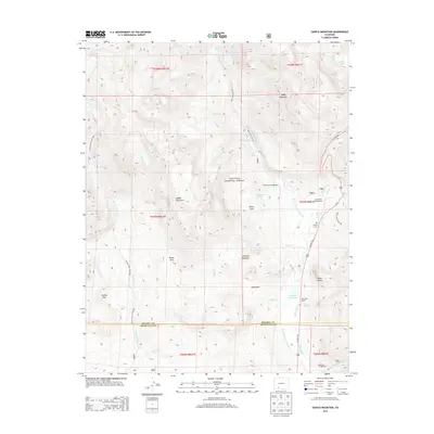
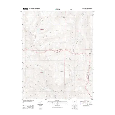
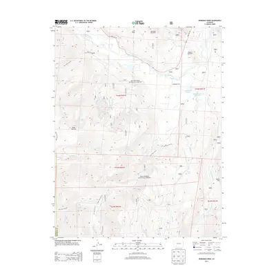
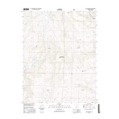
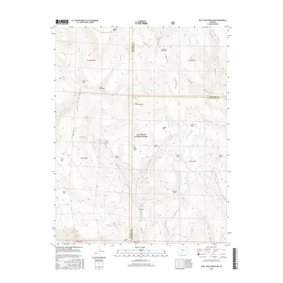
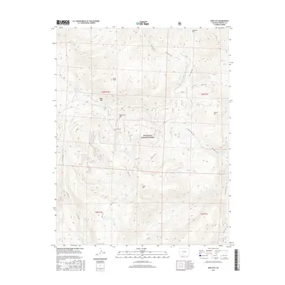
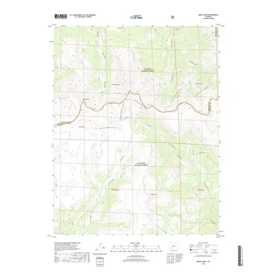
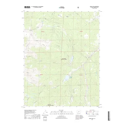
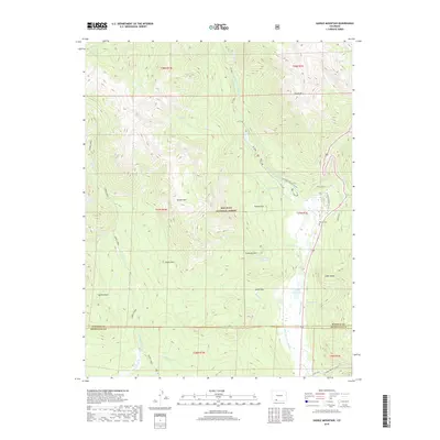
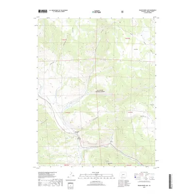
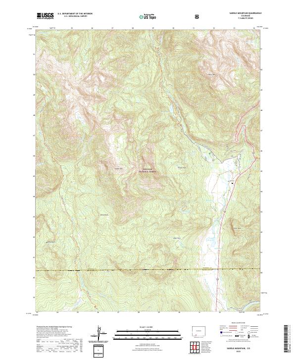
1984 Map of Saddle Mountain
USGS Topo · Published 1984About this map
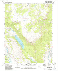
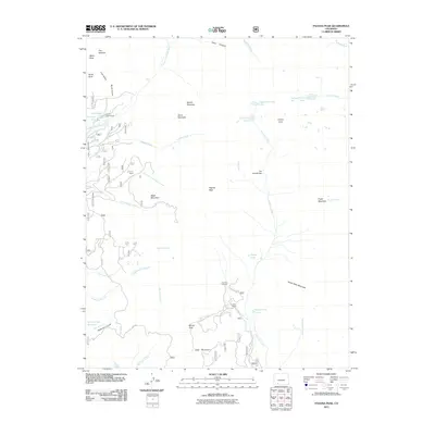
The West Fork San Juan River and its numerous tributaries carve through this high-elevation landscape of the San Juan National Forest. During the mid-1980s, the area reflects a balance between conservation and historic extraction, with the Weminuche Wilderness protected alongside legacy sites like Blacks Mine. A network of pack trails facilitates access to remote spots such as Poison Park and Allen Park, while water management is evident at the T Lazy T Reservoir and the private Rod and Gun Club Lake. The presence of the Mc Coy Cem near the river valley provides a poignant connection to the early residents of this mountainous region. The convergence of the West Fork San Juan River and the East Fork San Juan River in the south highlights the importance of these waterways to the regional geography.
Find a feature on this map
41 named features on this map. Tap any name to fly to it.
Don’t see what you’re looking for? This feature index may not catch every label — zoom into the map to look around manually.
Map Details
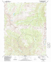
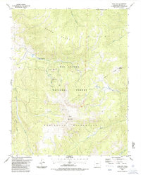
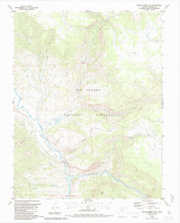
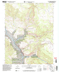
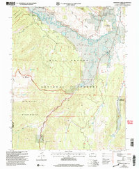
Editions of this 1984 Saddle Mountain Map
2 editions found
Historical Maps of Mineral County Through Time
105 maps found
1914 Creede
Mineral County, CO
1916 Creede
Mineral County, CO
1957 Spar City
Mineral County, CO
1959 Creede
Mineral County, CO
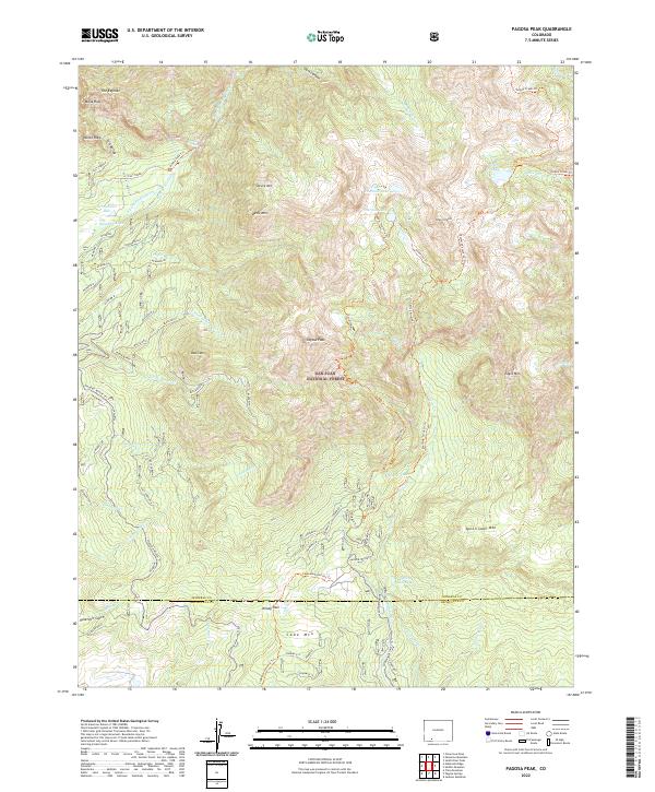
1964 Pagosa Peak
Mineral County, CO
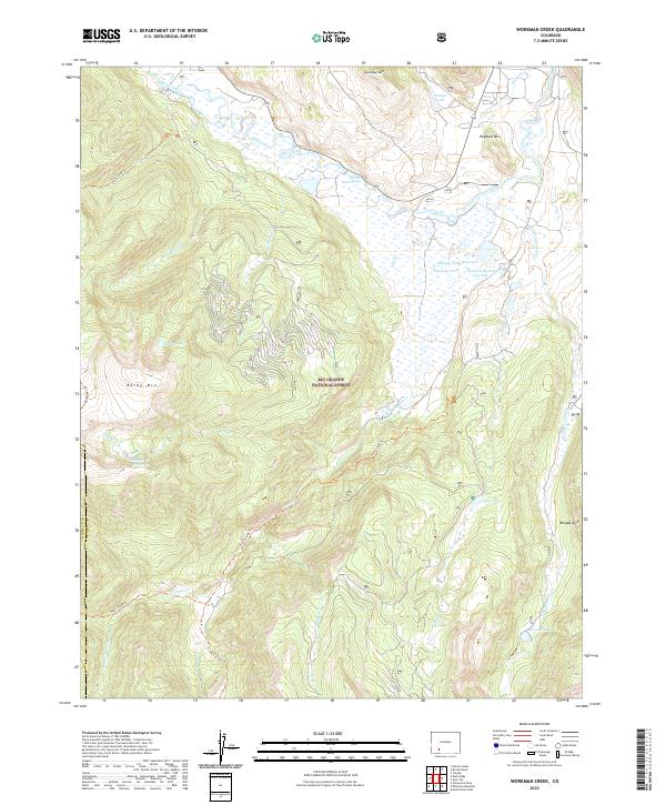
1964 Workman Creek
Mineral County, CO
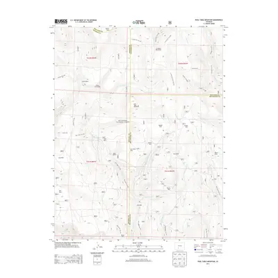
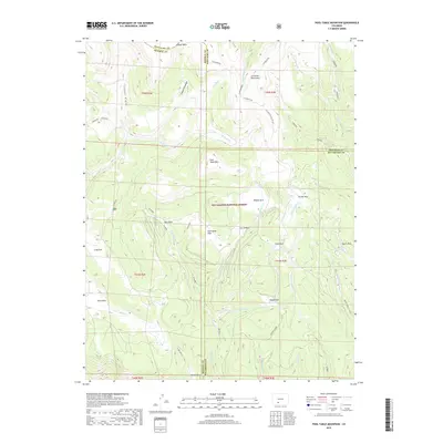
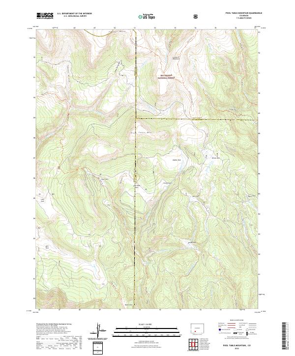
1967 Pool Table Mountain
Mineral County, CO
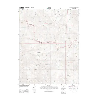
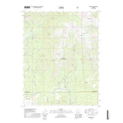
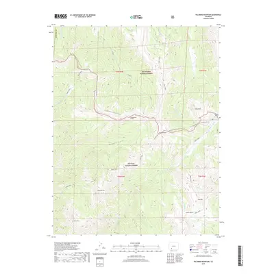
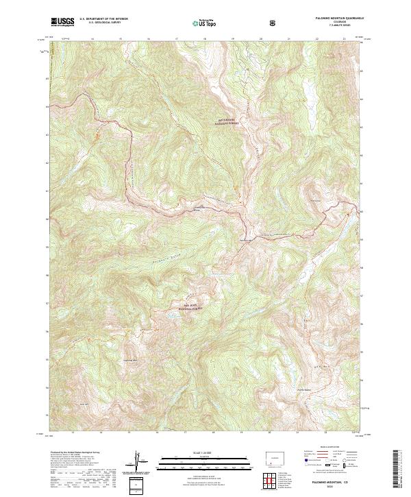
1973 Palomino Mountain
Mineral County, CO
1984 Saddle Mountain
Mineral County, CO
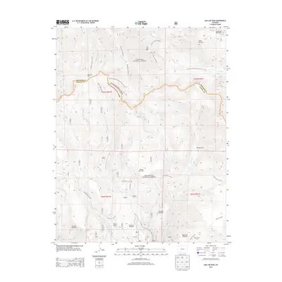
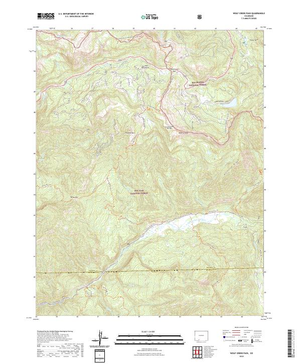
1984 Wolf Creek Pass
Mineral County, CO
1986 Baldy Cinco
Mineral County, CO
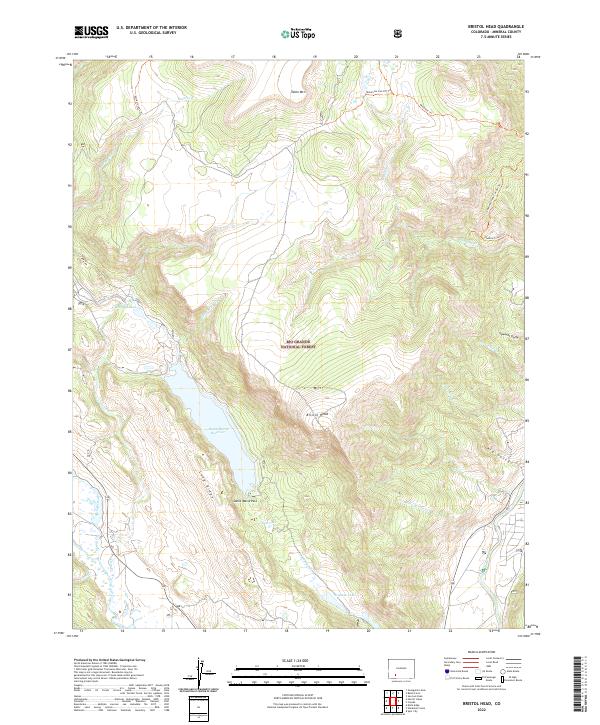
1986 Bristol Head
Mineral County, CO
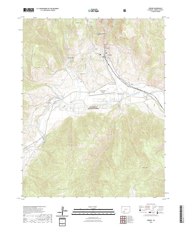
1986 Creede
Mineral County, CO
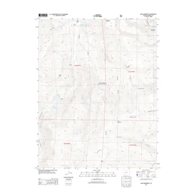
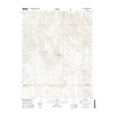
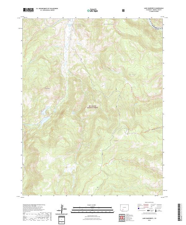
1986 Lake Humphreys
Mineral County, CO
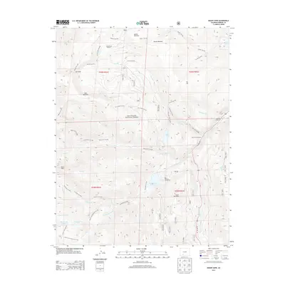
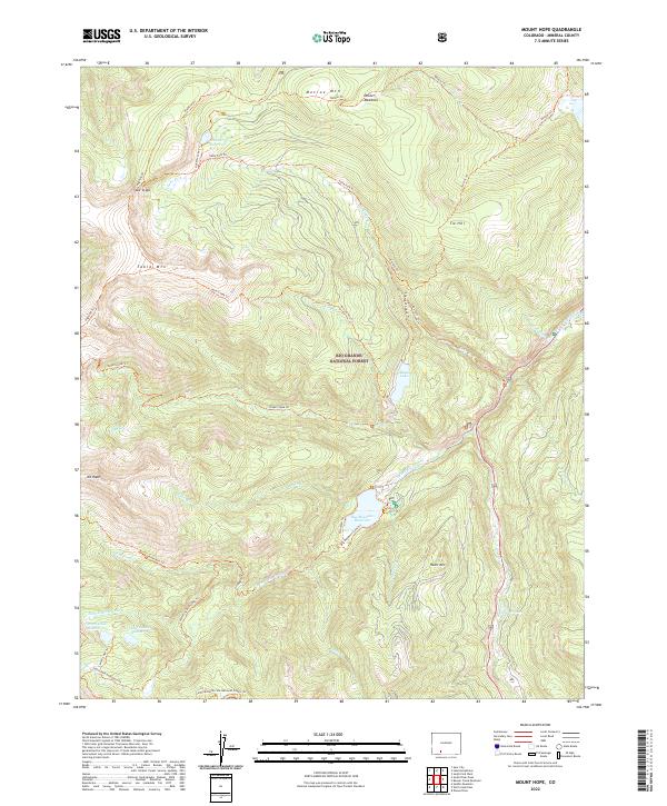
1986 Mount Hope
Mineral County, CO
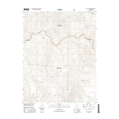
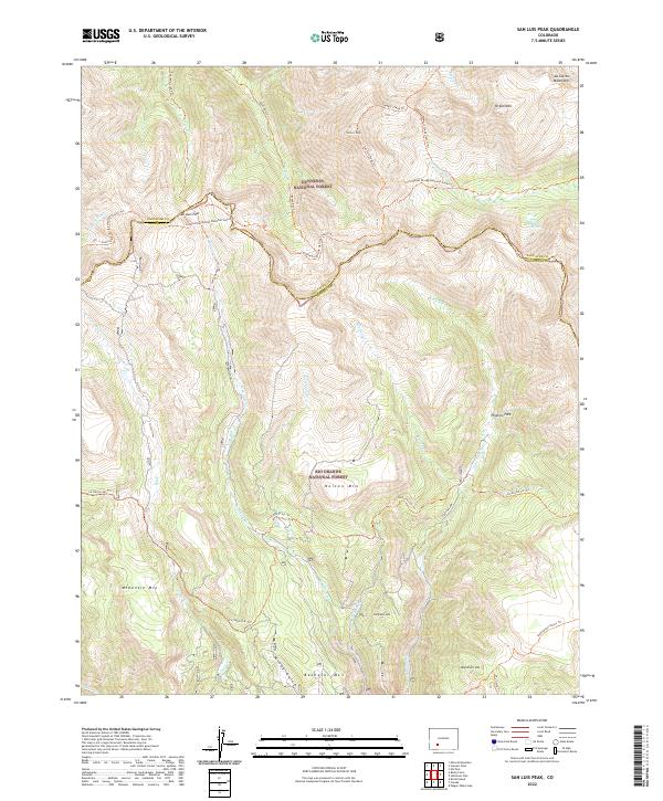
1986 San Luis Peak
Mineral County, CO
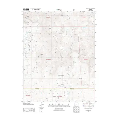
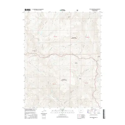
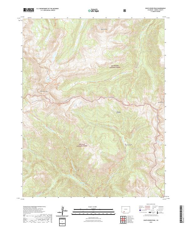
1986 South River Peak
Mineral County, CO
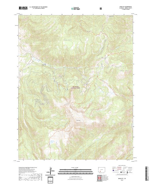
1986 Spar City
Mineral County, CO
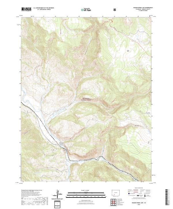
1986 Wagon Wheel Gap
Mineral County, CO
2001 Baldy Cinco
Mineral County, CO
2001 Bristol Head
Mineral County, CO
2001 Creede
Mineral County, CO
2001 Lake Humphreys
Mineral County, CO
2001 Mount Hope
Mineral County, CO
2001 Palomino Mountain
Mineral County, CO
2001 San Luis Peak
Mineral County, CO
2001 South River Peak
Mineral County, CO
2001 Spar City
Mineral County, CO
2001 Wagon Wheel Gap
Mineral County, CO
2001 Workman Creek
Mineral County, CO
2011 Baldy Cinco
Mineral County, CO
2011 Bristol Head
Mineral County, CO
2011 Creede
Mineral County, CO
2011 Lake Humphreys
Mineral County, CO
2011 Mount Hope
Mineral County, CO
2011 Pagosa Peak
Mineral County, CO
2011 Palomino Mountain
Mineral County, CO
2011 Pool Table Mountain
Mineral County, CO
2011 Saddle Mountain
Mineral County, CO
2011 San Luis Peak
Mineral County, CO
2011 South River Peak
Mineral County, CO
2011 Spar City
Mineral County, CO
2011 Wagon Wheel Gap
Mineral County, CO
2011 Wolf Creek Pass
Mineral County, CO
2011 Workman Creek
Mineral County, CO
2013 Baldy Cinco
Mineral County, CO
2013 Bristol Head
Mineral County, CO
2013 Creede
Mineral County, CO
2013 Lake Humphreys
Mineral County, CO
2013 Mount Hope
Mineral County, CO
2013 Pagosa Peak
Mineral County, CO
2013 Palomino Mountain
Mineral County, CO
2013 Pool Table Mountain
Mineral County, CO
2013 Saddle Mountain
Mineral County, CO
2013 San Luis Peak
Mineral County, CO
2013 South River Peak
Mineral County, CO
2013 Spar City
Mineral County, CO
2013 Wagon Wheel Gap
Mineral County, CO
2013 Wolf Creek Pass
Mineral County, CO
2013 Workman Creek
Mineral County, CO
2016 Baldy Cinco
Mineral County, CO
2016 Bristol Head
Mineral County, CO
2016 Creede
Mineral County, CO
2016 Lake Humphreys
Mineral County, CO
2016 Mount Hope
Mineral County, CO
2016 Pagosa Peak
Mineral County, CO
2016 Palomino Mountain
Mineral County, CO
2016 Pool Table Mountain
Mineral County, CO
2016 Saddle Mountain
Mineral County, CO
2016 San Luis Peak
Mineral County, CO
2016 South River Peak
Mineral County, CO
2016 Spar City
Mineral County, CO
2016 Wagon Wheel Gap
Mineral County, CO
2016 Wolf Creek Pass
Mineral County, CO
2016 Workman Creek
Mineral County, CO
2019 Baldy Cinco
Mineral County, CO
2019 Bristol Head
Mineral County, CO
2019 Creede
Mineral County, CO
2019 Lake Humphreys
Mineral County, CO
2019 Mount Hope
Mineral County, CO
2019 Pagosa Peak
Mineral County, CO
2019 Palomino Mountain
Mineral County, CO
2019 Pool Table Mountain
Mineral County, CO
2019 Saddle Mountain
Mineral County, CO
2019 San Luis Peak
Mineral County, CO
2019 South River Peak
Mineral County, CO
2019 Spar City
Mineral County, CO
2019 Wagon Wheel Gap
Mineral County, CO
2019 Wolf Creek Pass
Mineral County, CO
2019 Workman Creek
Mineral County, CO
2022 Baldy Cinco
Mineral County, CO
2022 Bristol Head
Mineral County, CO
2022 Creede
Mineral County, CO
2022 Lake Humphreys
Mineral County, CO
2022 Mount Hope
Mineral County, CO
2022 Pagosa Peak
Mineral County, CO
2022 Palomino Mountain
Mineral County, CO
2022 Pool Table Mountain
Mineral County, CO
2022 Saddle Mountain
Mineral County, CO
2022 San Luis Peak
Mineral County, CO
2022 South River Peak
Mineral County, CO
2022 Spar City
Mineral County, CO
2022 Wagon Wheel Gap
Mineral County, CO
2022 Wolf Creek Pass
Mineral County, CO
2022 Workman Creek
Mineral County, CO