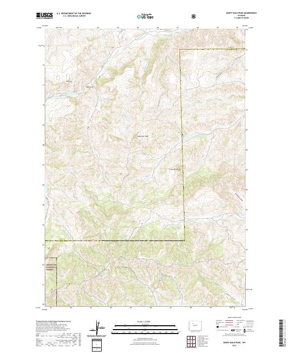
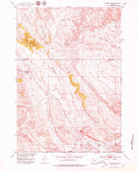
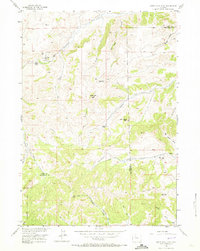
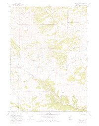
2021 Map of Soapy Dale Peak
USGS Topo · Published 2021About this map
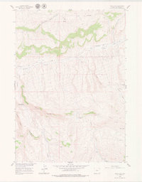
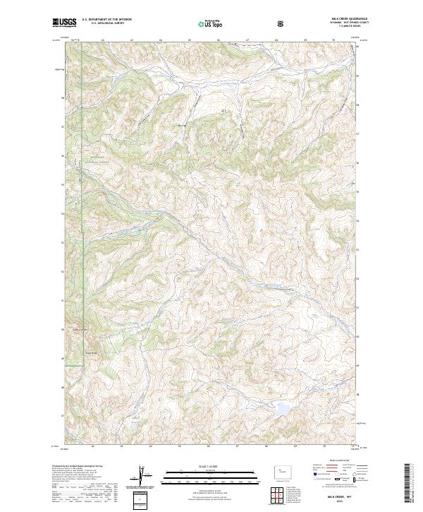
Soapy Dale Peak and Leon Baird Peak dominate the topography of this high country where Park and Hot Springs counties meet. The landscape is characterized by a network of drainage systems, including the westward flow of Gooseberry Cr and the deeply incised Red Canyon. Significant portions of the southwestern area are managed as part of the Shoshone National Forest, indicating a transition from open range to protected mountain terrain. Historic land use is suggested by the presence of Sawmill Rd near Red Cliff, likely reflecting the region's early timber or ranching access routes. Navigational landmarks like Wall Rock and the small Mossy Pond provide specific reference points within the complex ridges and draws that define this section of the Absaroka foothills.
Find a feature on this map
31 named features on this map. Tap any name to fly to it.
Don’t see what you’re looking for? This feature index may not catch every label — zoom into the map to look around manually.
Map Details
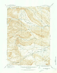
Editions of this 2021 Soapy Dale Peak Map
This is the sole edition of this map. No revisions or reprints were ever made.
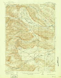
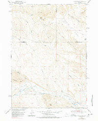
Historical Maps of Park County Through Time
79 maps found
1913 Grass Creek Basin
Hot Springs County, WY

1914 Blue Mesa
Hot Springs County, WY
1915 Grass Creek Basin
Hot Springs County, WY

1916 Blue Mesa
Hot Springs County, WY
1951 Gillies Draw
Hot Springs County, WY
1951 Hillberry Rim
Hot Springs County, WY
1952 Bull Mountain
Hot Springs County, WY

1952 Kates Basin
Hot Springs County, WY

1952 Rathbun Ranch
Hot Springs County, WY
1952 Sheep Ridge
Hot Springs County, WY

1956 Adam Weiss Peak
Hot Springs County, WY
1956 Milk Creek
Hot Springs County, WY
1956 Soapy Dale Peak
Hot Springs County, WY
1956 Twentyone Creek
Hot Springs County, WY
1957 Rathbun Ranch
Hot Springs County, WY

1960 Blue Hill
Hot Springs County, WY
1960 Coyote Hill
Hot Springs County, WY
1960 Devil Slide
Hot Springs County, WY

1960 Packsaddle Creek
Hot Springs County, WY

1960 Red Hole
Hot Springs County, WY
1960 Wedding Of The Waters
Hot Springs County, WY

1965 Anchor Reservoir
Hot Springs County, WY

1965 Arapahoe Ranch
Hot Springs County, WY
1965 Eagle Nest Ranch
Hot Springs County, WY

1965 Embar
Hot Springs County, WY

1965 Nostrum Mountain
Hot Springs County, WY
1965 Potato Butte
Hot Springs County, WY

1965 Rattlesnake Gulch
Hot Springs County, WY

1965 Thompson Reservoirs
Hot Springs County, WY
1967 Willow Creek
Hot Springs County, WY
1969 Cottonwood Peak
Hot Springs County, WY
1969 Twin Peaks
Hot Springs County, WY

1985 Blue Mesa West
Hot Springs County, WY

1985 Cedar Mountain
Hot Springs County, WY

1985 Crater Sink
Hot Springs County, WY

1985 Gloin Reservoir
Hot Springs County, WY

1985 Grass Creek
Hot Springs County, WY

1985 Hamilton Dome
Hot Springs County, WY

1985 Little Sand Draw
Hot Springs County, WY

1985 Red Ridge
Hot Springs County, WY

1991 Cottonwood Peak
Hot Springs County, WY

1991 Milk Creek
Hot Springs County, WY

1991 Soapy Dale Peak
Hot Springs County, WY

1991 Twin Peaks
Hot Springs County, WY
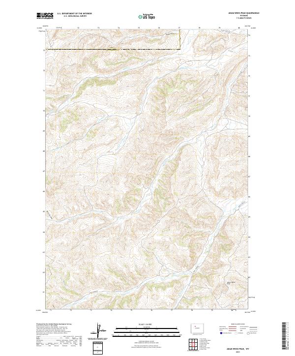
2021 Adam Weiss Peak
Hot Springs County, WY
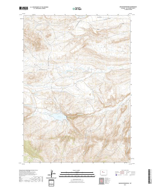
2021 Anchor Reservoir
Hot Springs County, WY
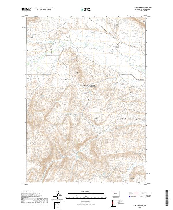
2021 Arapahoe Ranch
Hot Springs County, WY
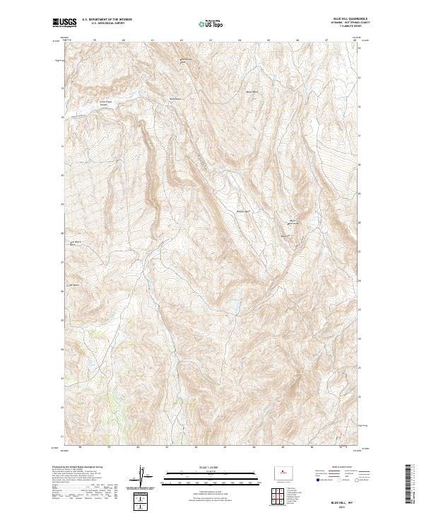
2021 Blue Hill
Hot Springs County, WY

2021 Blue Mesa West
Hot Springs County, WY
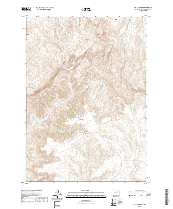
2021 Bull Mountain
Hot Springs County, WY
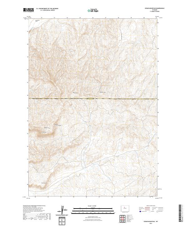
2021 Cedar Mountain
Hot Springs County, WY
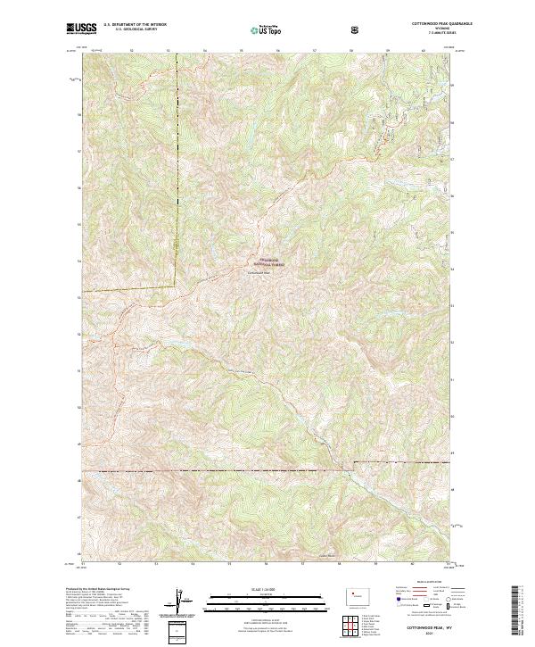
2021 Cottonwood Peak
Hot Springs County, WY
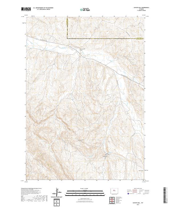
2021 Coyote Hill
Hot Springs County, WY
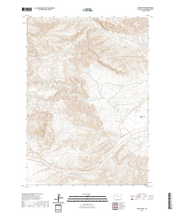
2021 Crater Sink
Hot Springs County, WY
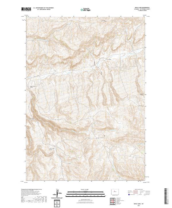
2021 Devil Slide
Hot Springs County, WY
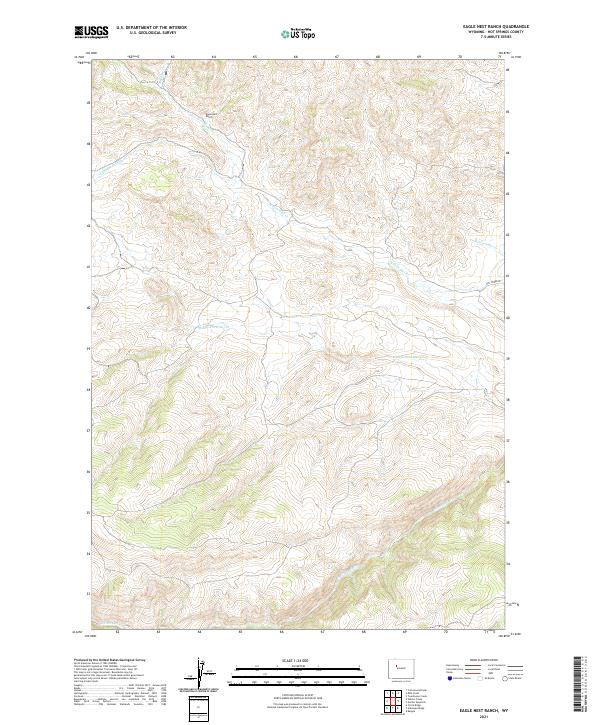
2021 Eagle Nest Ranch
Hot Springs County, WY
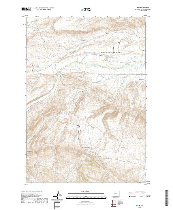
2021 Embar
Hot Springs County, WY
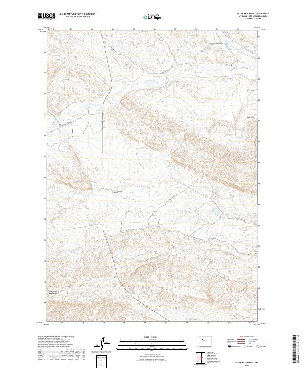
2021 Gloin Reservoir
Hot Springs County, WY

2021 Grass Creek
Hot Springs County, WY

2021 Hamilton Dome
Hot Springs County, WY
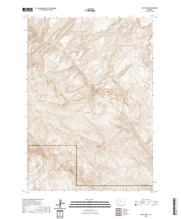
2021 Kates Basin
Hot Springs County, WY
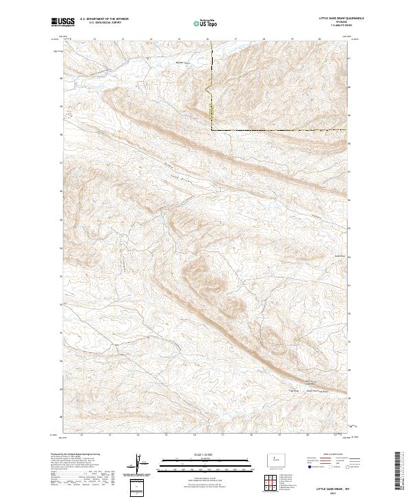
2021 Little Sand Draw
Hot Springs County, WY
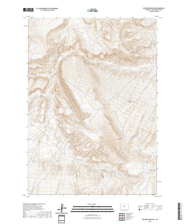
2021 Nostrum Mountain
Hot Springs County, WY
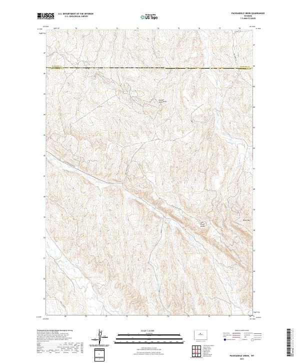
2021 Packsaddle Creek
Hot Springs County, WY
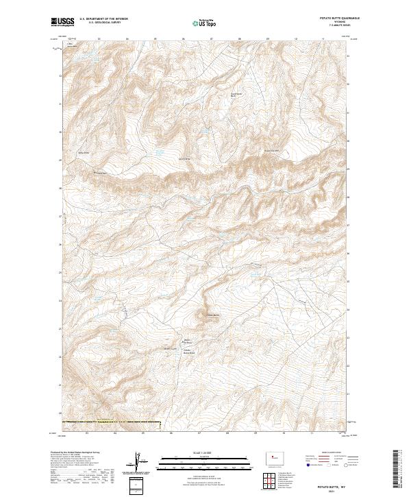
2021 Potato Butte
Hot Springs County, WY
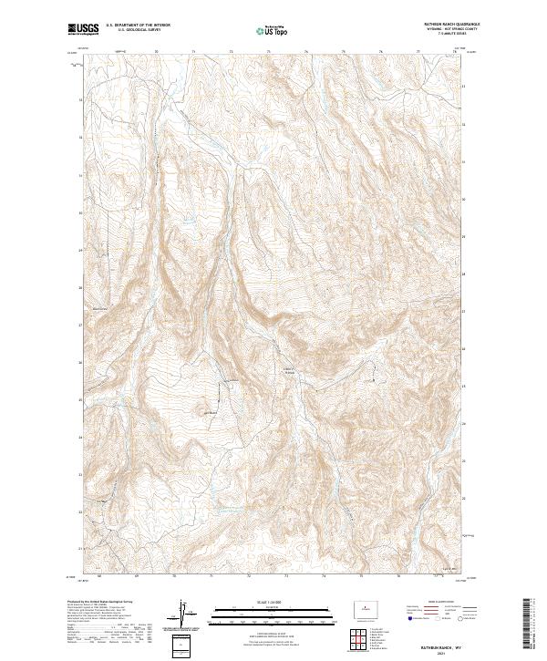
2021 Rathbun Ranch
Hot Springs County, WY
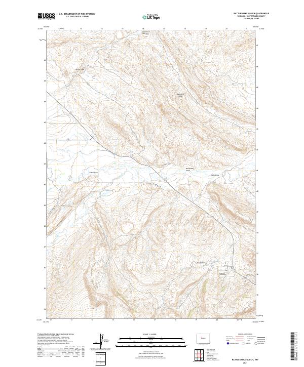
2021 Rattlesnake Gulch
Hot Springs County, WY
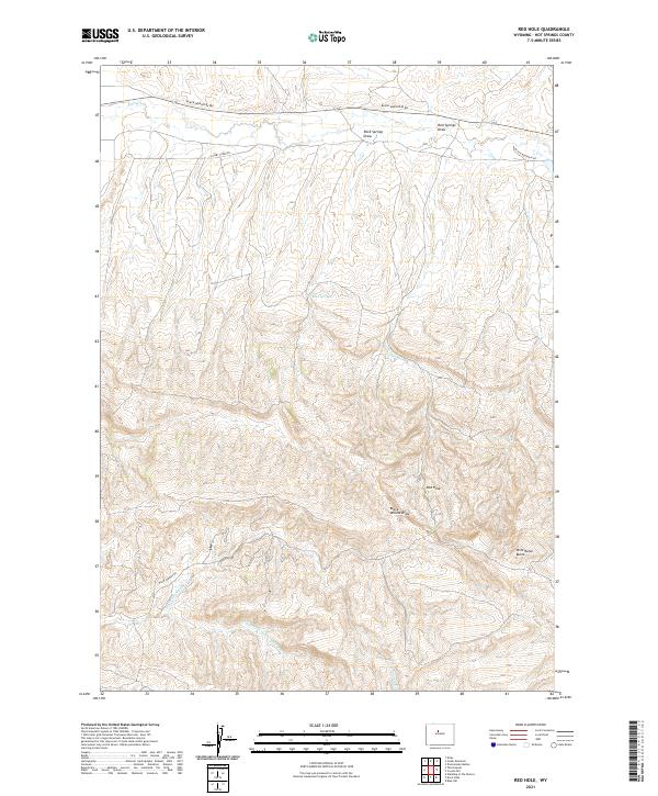
2021 Red Hole
Hot Springs County, WY
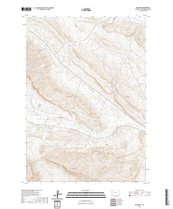
2021 Red Ridge
Hot Springs County, WY
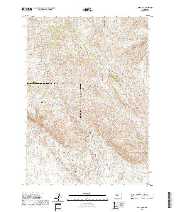
2021 Sheep Ridge
Hot Springs County, WY
2021 Soapy Dale Peak
Hot Springs County, WY
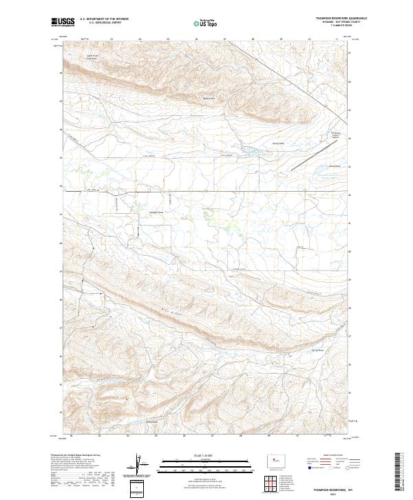
2021 Thompson Reservoirs
Hot Springs County, WY
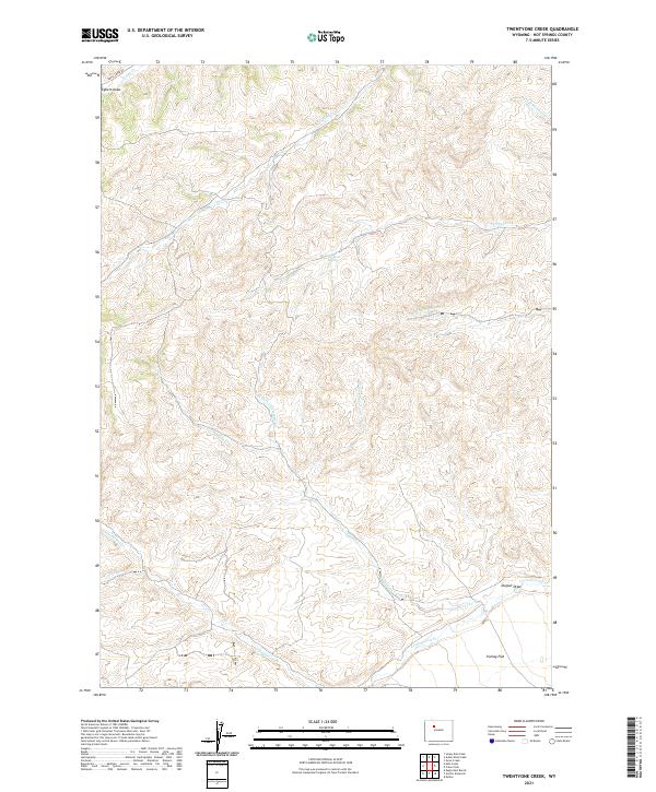
2021 Twentyone Creek
Hot Springs County, WY
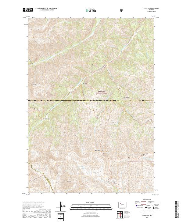
2021 Twin Peaks
Hot Springs County, WY
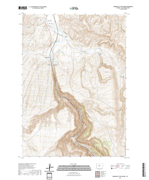
2021 Wedding of the Waters
Hot Springs County, WY
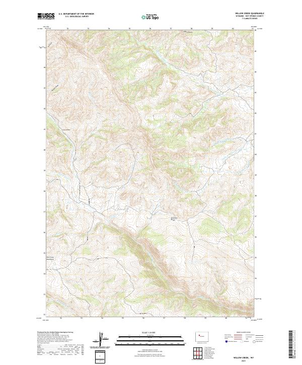
2021 Willow Creek
Hot Springs County, WY
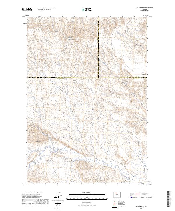
2023 Gillies Draw
Hot Springs County, WY

2023 Hillberry Rim
Hot Springs County, WY
2023 Milk Creek
Hot Springs County, WY