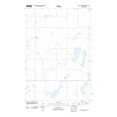
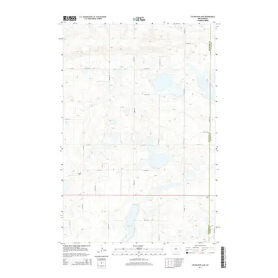
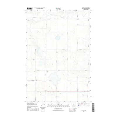
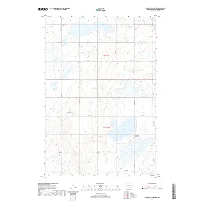
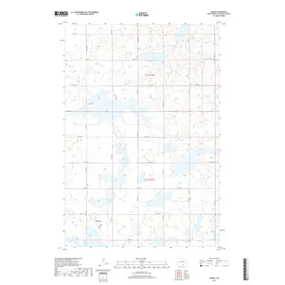
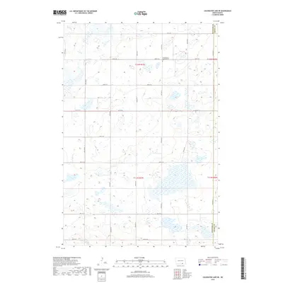
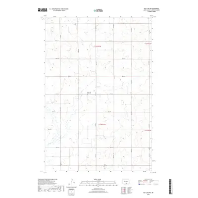
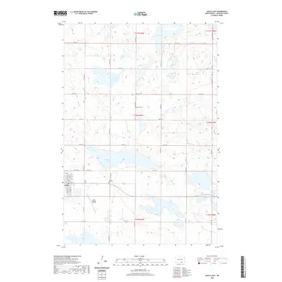
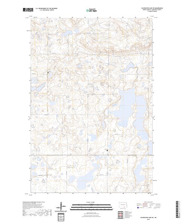
2024 Map of Coldwater Lake
USGS Topo · Published 2024About this map
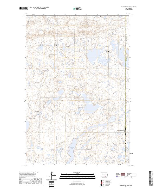
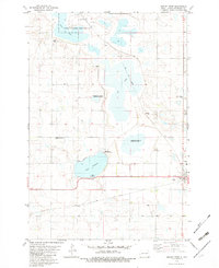
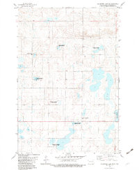
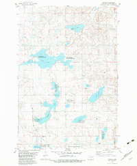
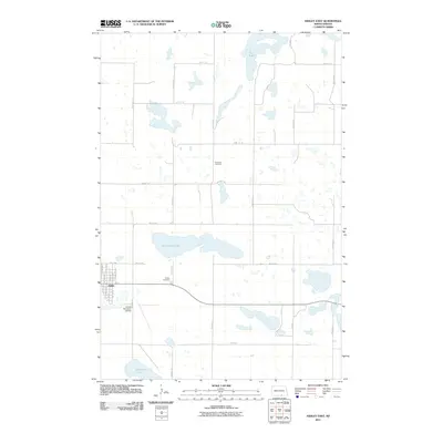
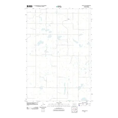
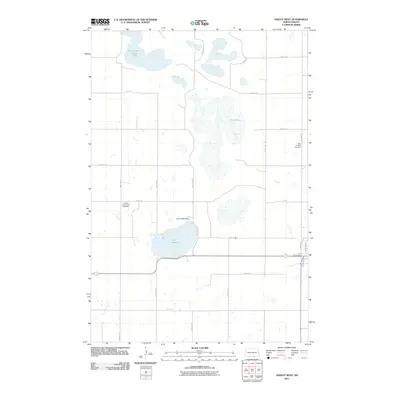
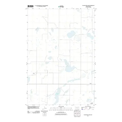
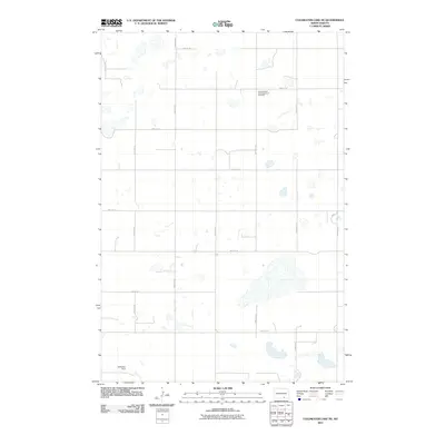
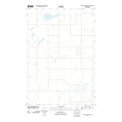
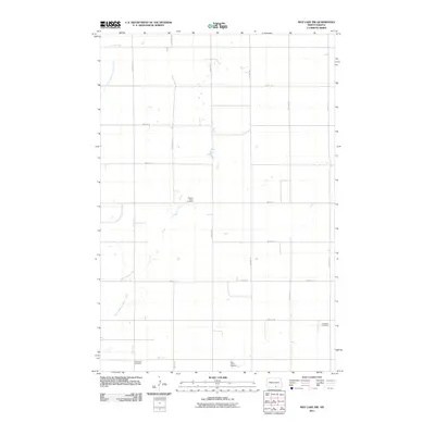
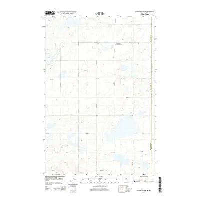
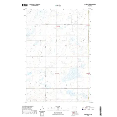
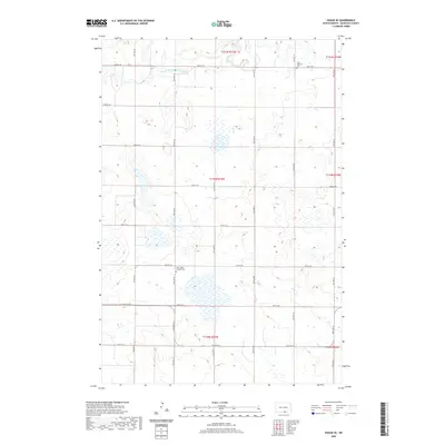
Coteau du Missouri forms the backdrop for this landscape along the border of McIntosh and Dickey counties. The terrain is defined by the numerous glacial wetlands and prairie potholes that characterize the Mcintosh County Waterfowl Production Area and the Dickey County Waterfowl Production Area. At the center of the sheet lies Coldwater Lake, a significant water body in this prairie environment.
Find a feature on this map
30 named features on this map. Tap any name to fly to it.
Don’t see what you’re looking for? This feature index may not catch every label — zoom into the map to look around manually.
Map Details
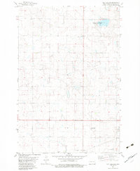
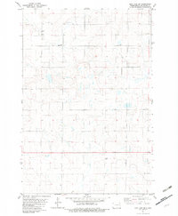
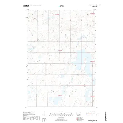
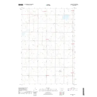
Editions of this 2024 Coldwater Lake Map
This is the sole edition of this map. No revisions or reprints were ever made.
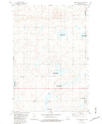
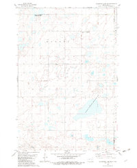
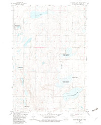
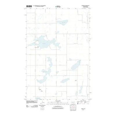
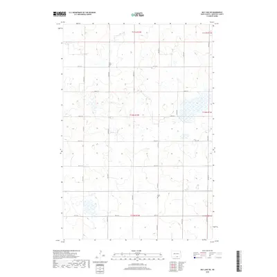
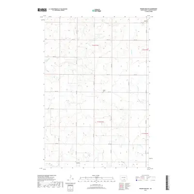
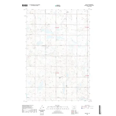
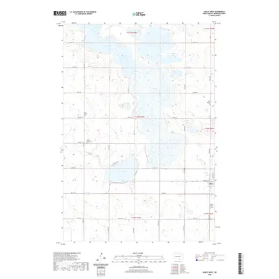
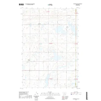
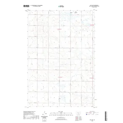
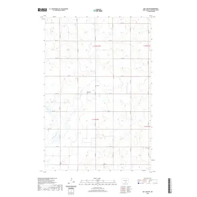
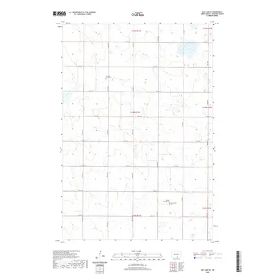
Historical Maps of German Township Through Time
83 maps found
1980 Hague SE
McIntosh County, ND
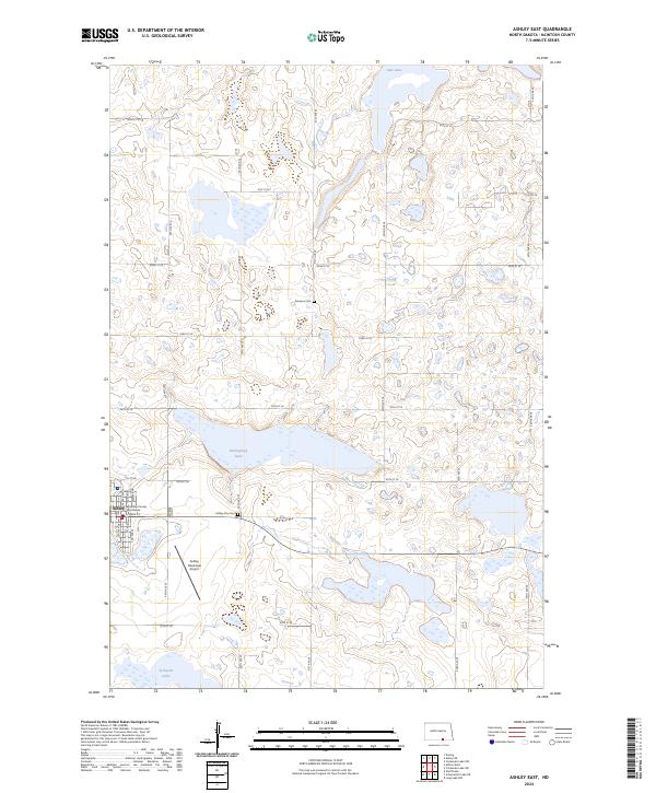
1982 Ashley East
McIntosh County, ND
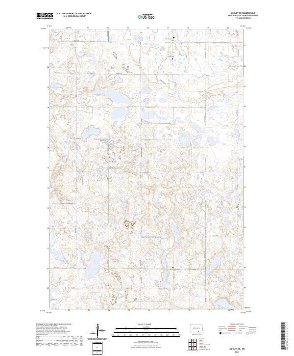
1982 Ashley NE
McIntosh County, ND
1982 Ashley West
McIntosh County, ND
1982 Coldwater Lake
McIntosh County, ND
1982 Coldwater Lake NE
McIntosh County, ND
1982 Coldwater Lake NW
McIntosh County, ND
1982 Coldwater Lake SW
McIntosh County, ND
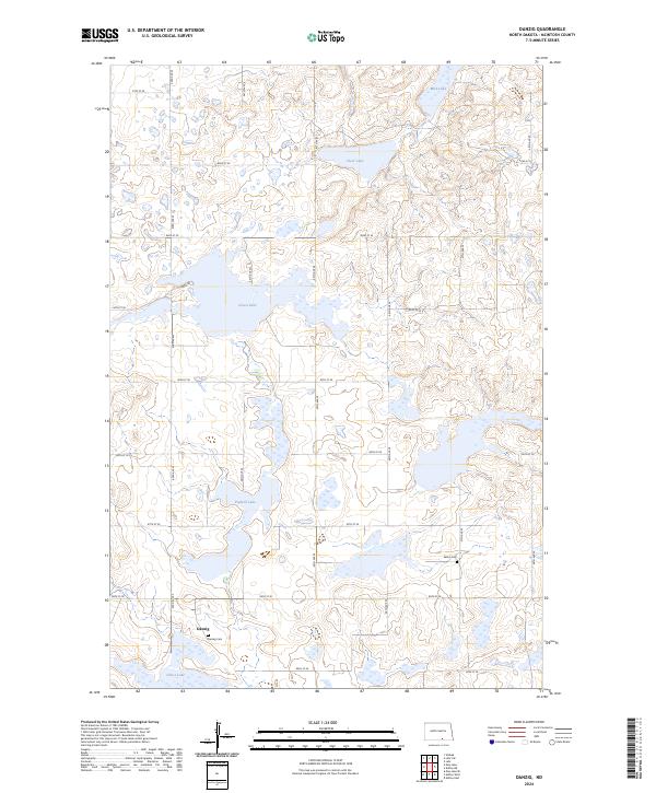
1982 Danzig
McIntosh County, ND
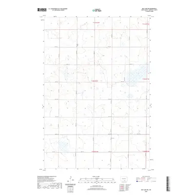
1982 May Lake
McIntosh County, ND
1982 May Lake NW
McIntosh County, ND
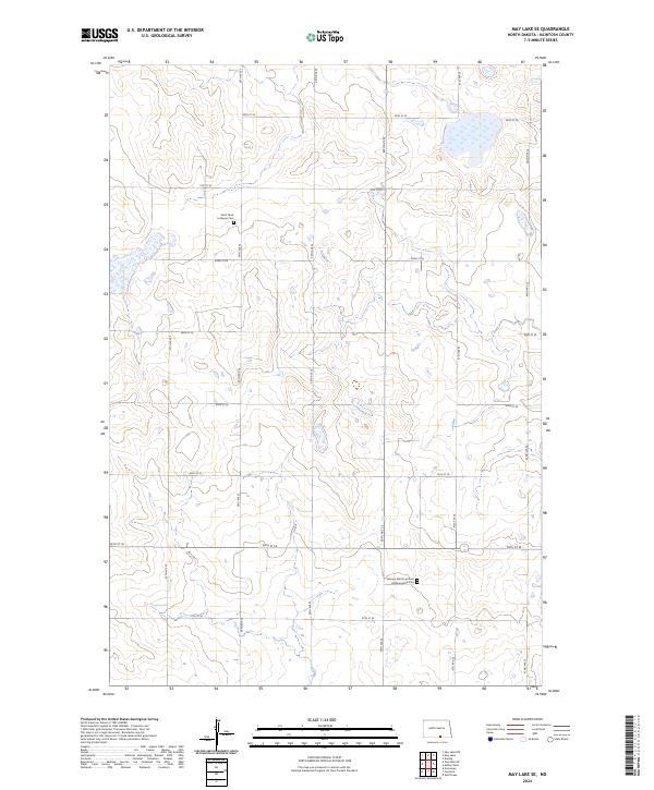
1982 May Lake SE
McIntosh County, ND
1982 May Lake SW
McIntosh County, ND
2011 Ashley East
McIntosh County, ND
2011 Ashley NE
McIntosh County, ND
2011 Ashley West
McIntosh County, ND
2011 Coldwater Lake
McIntosh County, ND
2011 Coldwater Lake NE
McIntosh County, ND
2011 Coldwater Lake NW
McIntosh County, ND
2011 Coldwater Lake SW
McIntosh County, ND
2011 Danzig
McIntosh County, ND
2011 Hague SE
McIntosh County, ND
2011 May Lake
McIntosh County, ND
2011 May Lake NW
McIntosh County, ND
2011 May Lake SE
McIntosh County, ND
2011 May Lake SW
McIntosh County, ND
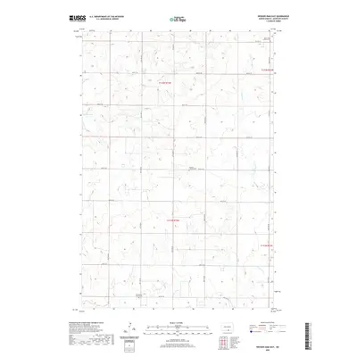
2011 Weisser Dam East
McIntosh County, ND
2014 Ashley East
McIntosh County, ND
2014 Ashley NE
McIntosh County, ND
2014 Ashley West
McIntosh County, ND
2014 Coldwater Lake
McIntosh County, ND
2014 Coldwater Lake NE
McIntosh County, ND
2014 Coldwater Lake NW
McIntosh County, ND
2014 Coldwater Lake SW
McIntosh County, ND
2014 Danzig
McIntosh County, ND
2014 Hague SE
McIntosh County, ND
2014 May Lake
McIntosh County, ND
2014 May Lake NW
McIntosh County, ND
2014 May Lake SE
McIntosh County, ND
2014 May Lake SW
McIntosh County, ND
2014 Weisser Dam East
McIntosh County, ND
2017 Ashley NE
McIntosh County, ND
2017 Coldwater Lake NW
McIntosh County, ND
2017 Danzig
McIntosh County, ND
2018 Ashley East
McIntosh County, ND
2018 Ashley West
McIntosh County, ND
2018 Coldwater Lake
McIntosh County, ND
2018 Coldwater Lake NE
McIntosh County, ND
2018 Coldwater Lake SW
McIntosh County, ND
2018 Hague SE
McIntosh County, ND
2018 May Lake
McIntosh County, ND
2018 May Lake NW
McIntosh County, ND
2018 May Lake SE
McIntosh County, ND
2018 May Lake SW
McIntosh County, ND
2018 Weisser Dam East
McIntosh County, ND
2020 Ashley East
McIntosh County, ND
2020 Ashley NE
McIntosh County, ND
2020 Ashley West
McIntosh County, ND
2020 Coldwater Lake
McIntosh County, ND
2020 Coldwater Lake NE
McIntosh County, ND
2020 Coldwater Lake NW
McIntosh County, ND
2020 Coldwater Lake SW
McIntosh County, ND
2020 Danzig
McIntosh County, ND
2020 Hague SE
McIntosh County, ND
2020 May Lake
McIntosh County, ND
2020 May Lake NW
McIntosh County, ND
2020 May Lake SE
McIntosh County, ND
2020 May Lake SW
McIntosh County, ND
2020 Weisser Dam East
McIntosh County, ND
2024 Ashley East
McIntosh County, ND
2024 Ashley NE
McIntosh County, ND
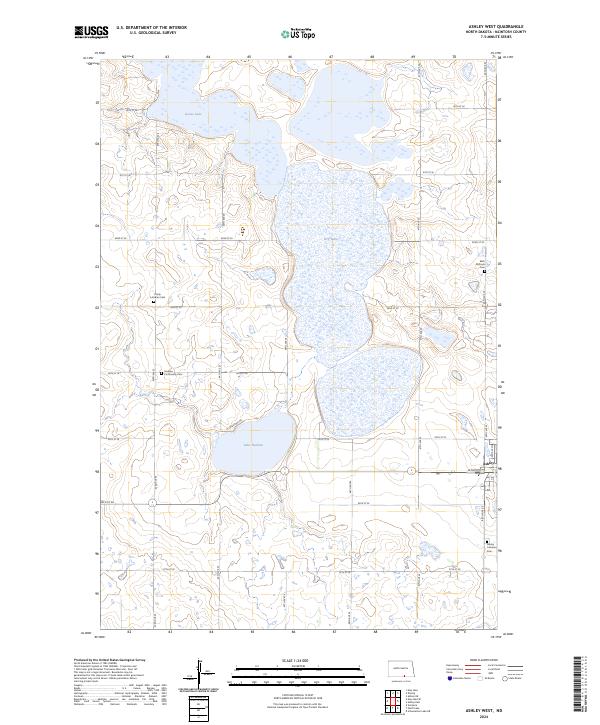
2024 Ashley West
McIntosh County, ND
2024 Coldwater Lake
McIntosh County, ND
2024 Coldwater Lake NE
McIntosh County, ND
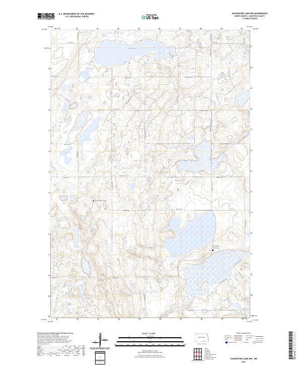
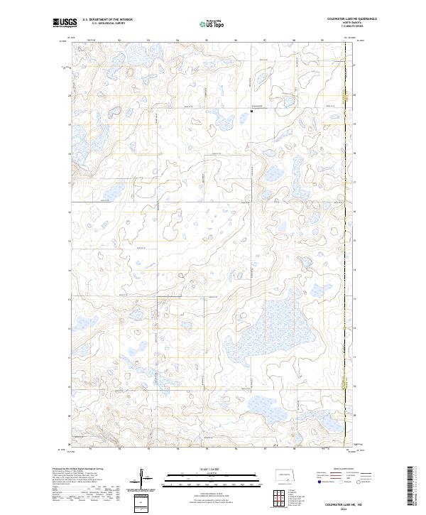
2024 Coldwater Lake NW
McIntosh County, ND
2024 Coldwater Lake SW
McIntosh County, ND
2024 Danzig
McIntosh County, ND
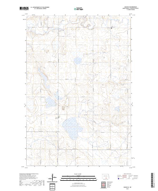
2024 Hague SE
McIntosh County, ND
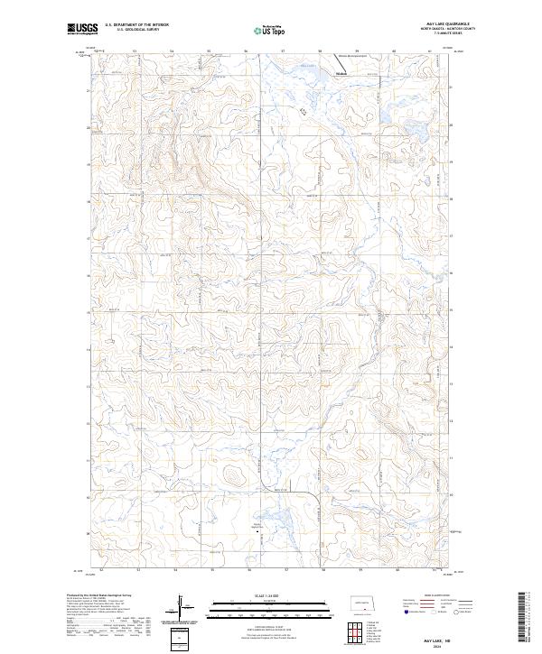
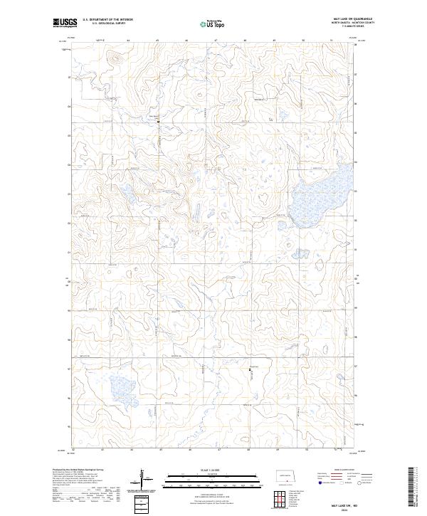
2024 May Lake
McIntosh County, ND
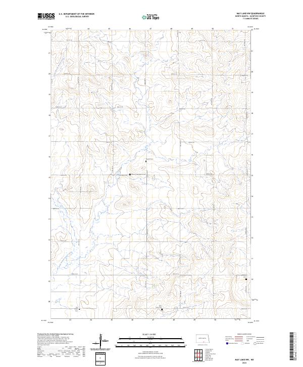
2024 May Lake NW
McIntosh County, ND
2024 May Lake SE
McIntosh County, ND
2024 May Lake SW
McIntosh County, ND
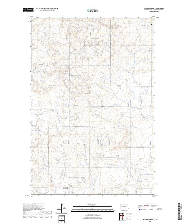
2024 Weisser Dam East
McIntosh County, ND
Featured Locations
- Dickey County, ND
- McIntosh County, ND
- Albertha Township, ND
- Spring Valley Township, ND
- German Township, ND