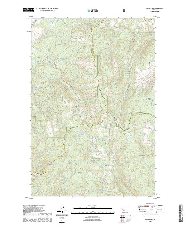
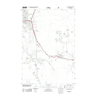
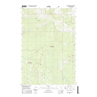
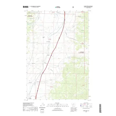
2024 Map of Dickie Peak
USGS Topo · Published 2024About this map
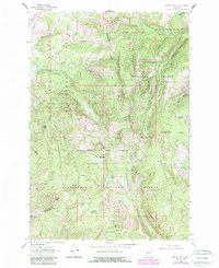
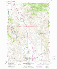
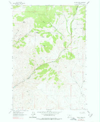
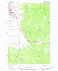
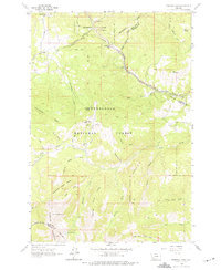
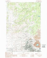
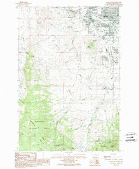
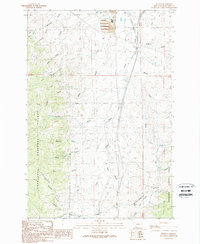
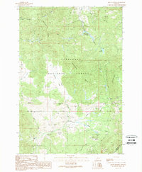
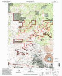
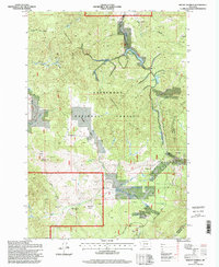
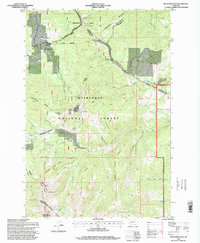
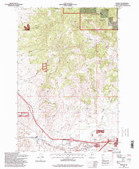
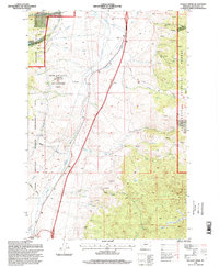
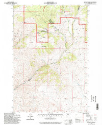
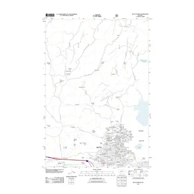
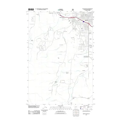
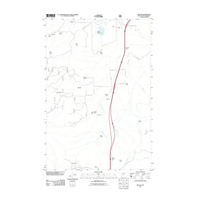
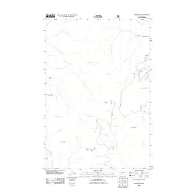
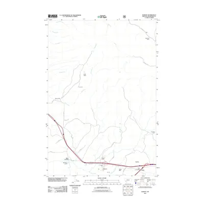
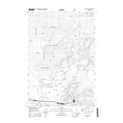
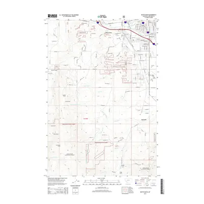
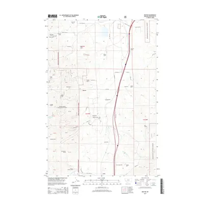
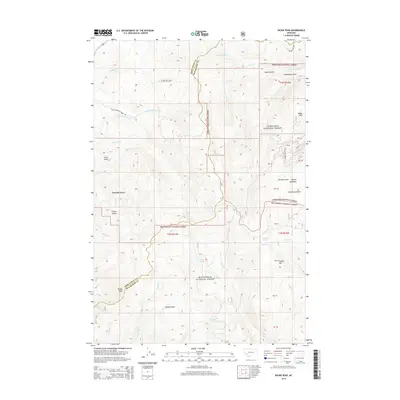
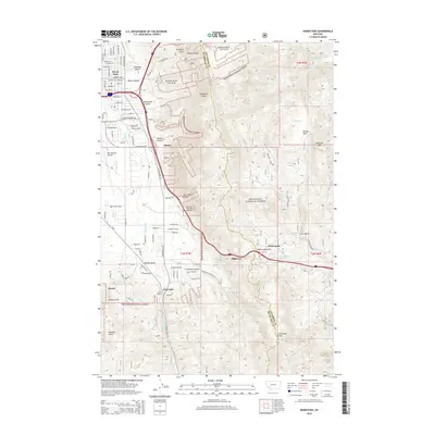
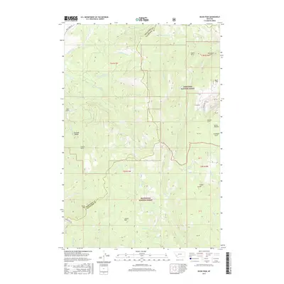
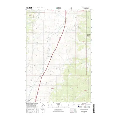
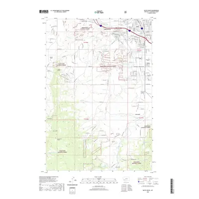
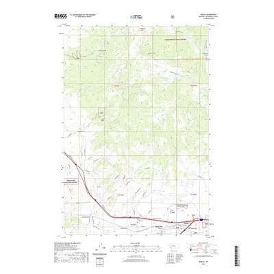
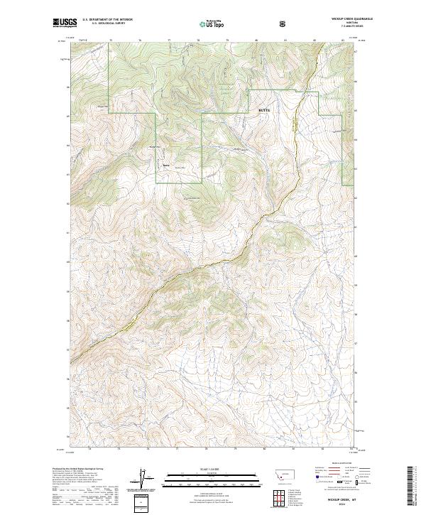
Dickie Peak and Johnson Peak dominate the high-altitude terrain along the border of Deer Lodge and Silver Bow counties in this contemporary Montana survey. The landscape is defined by the sharp ridges and deep gulches of the Deerlodge National Forest and Beaverhead National Forest. This era shows the modern routing of the Continental Divide National Scenic Trail as it snakes through the mountains, crossing near French Town and Butte. Water sources are vital features in this dry, high-elevation environment, with named points like Larkspur Spring, Fish Lake, and Mud Lake providing critical landmarks. The map also traces the drainage networks of American Creek and German Gulch, which have historically shaped the settlement patterns and industrial access in this corner of the Rockies.
Find a feature on this map
47 named features on this map. Tap any name to fly to it.
Don’t see what you’re looking for? This feature index may not catch every label — zoom into the map to look around manually.
Map Details
Editions of this 2024 Dickie Peak Map
This is the sole edition of this map. No revisions or reprints were ever made.
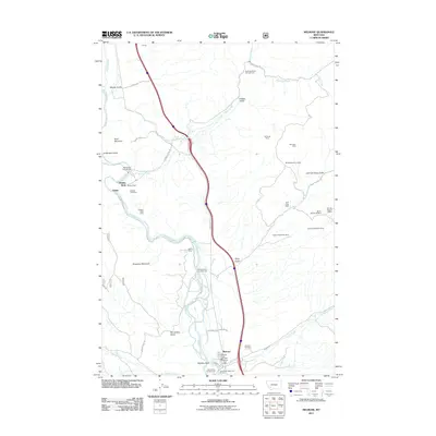
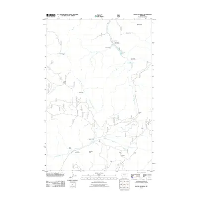
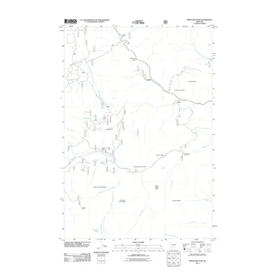
Historical Maps of Butte Through Time
86 maps found
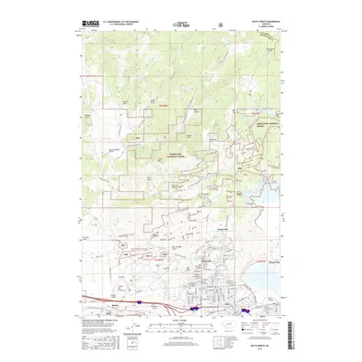
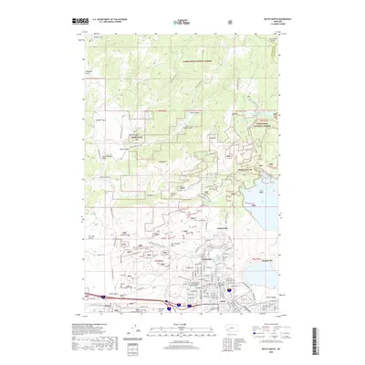
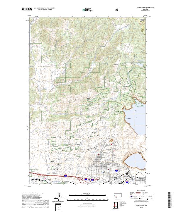
1959 Butte North
Silver Bow County, MT
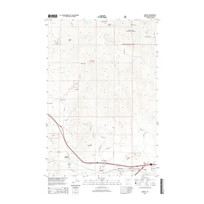
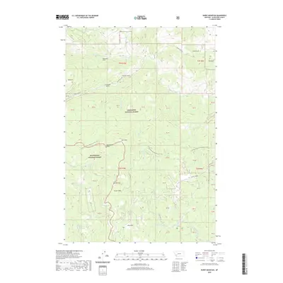
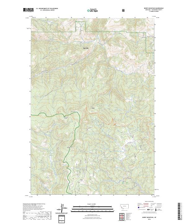
1961 Burnt Mountain
Silver Bow County, MT
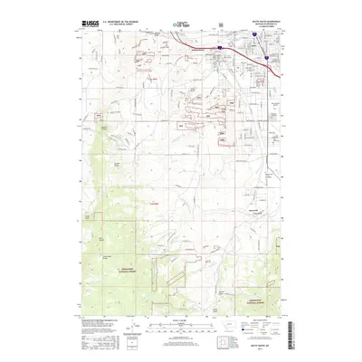
1961 Butte South
Silver Bow County, MT
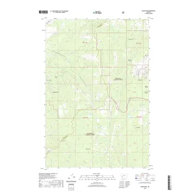
1961 Dickie Peak
Silver Bow County, MT
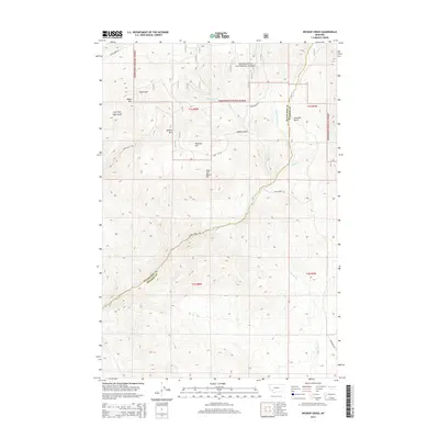
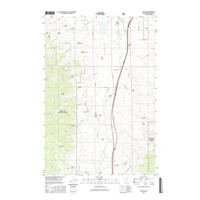
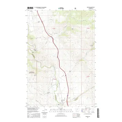
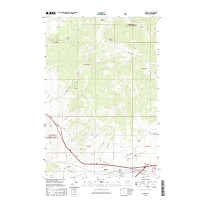
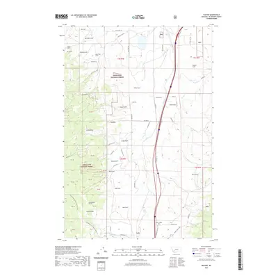
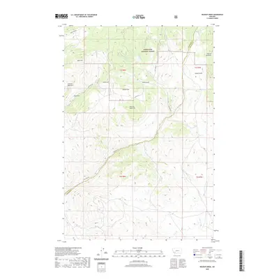
1961 Melrose
Silver Bow County, MT
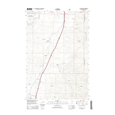
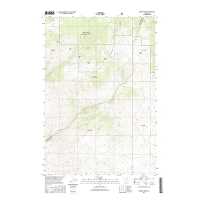
1961 Wickiup Creek
Silver Bow County, MT
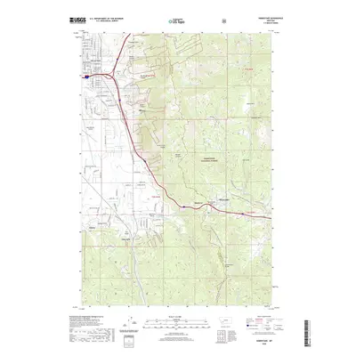
1963 Homestake
Silver Bow County, MT
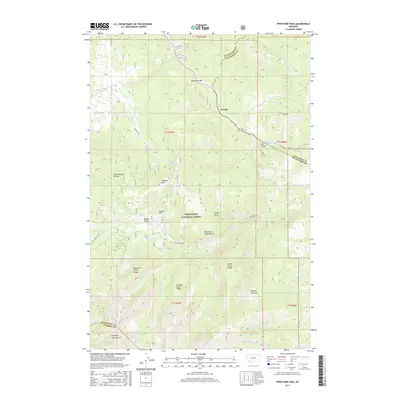
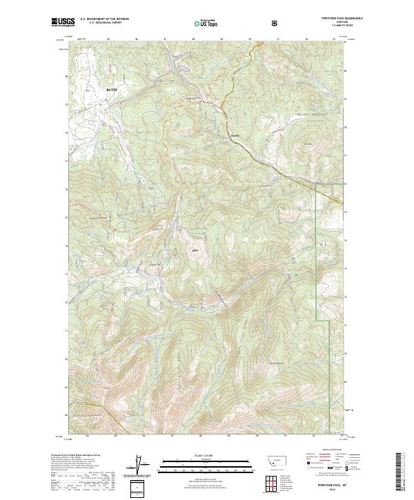
1963 Pipestone Pass
Silver Bow County, MT
1989 Butte North
Silver Bow County, MT
1989 Butte South
Silver Bow County, MT
1989 Buxton
Silver Bow County, MT
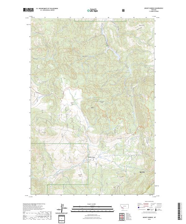
1989 Mount Humbug
Silver Bow County, MT
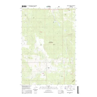
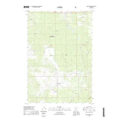
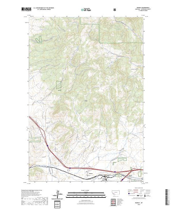
1989 Ramsay
Silver Bow County, MT
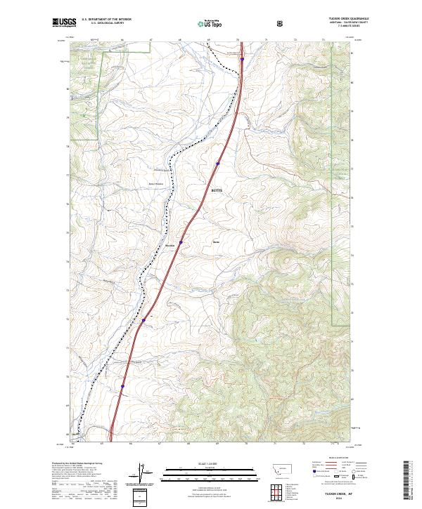
1989 Tucker Creek
Silver Bow County, MT
1996 Burnt Mountain
Silver Bow County, MT
1996 Butte North
Silver Bow County, MT
1996 Butte South
Silver Bow County, MT
1996 Buxton
Silver Bow County, MT
1996 Homestake
Silver Bow County, MT
1996 Mount Humbug
Silver Bow County, MT
1996 Pipestone Pass
Silver Bow County, MT
1996 Ramsay
Silver Bow County, MT
1996 Tucker Creek
Silver Bow County, MT
1996 Wickiup Creek
Silver Bow County, MT
1997 Dickie Peak
Silver Bow County, MT
1997 Melrose
Silver Bow County, MT
2011 Burnt Mountain
Silver Bow County, MT
2011 Butte North
Silver Bow County, MT
2011 Butte South
Silver Bow County, MT
2011 Buxton
Silver Bow County, MT
2011 Dickie Peak
Silver Bow County, MT
2011 Homestake
Silver Bow County, MT
2011 Melrose
Silver Bow County, MT
2011 Mount Humbug
Silver Bow County, MT
2011 Pipestone Pass
Silver Bow County, MT
2011 Ramsay
Silver Bow County, MT
2011 Tucker Creek
Silver Bow County, MT
2011 Wickiup Creek
Silver Bow County, MT
2014 Burnt Mountain
Silver Bow County, MT
2014 Butte North
Silver Bow County, MT
2014 Butte South
Silver Bow County, MT
2014 Buxton
Silver Bow County, MT
2014 Dickie Peak
Silver Bow County, MT
2014 Homestake
Silver Bow County, MT
2014 Melrose
Silver Bow County, MT
2014 Mount Humbug
Silver Bow County, MT
2014 Pipestone Pass
Silver Bow County, MT
2014 Ramsay
Silver Bow County, MT
2014 Tucker Creek
Silver Bow County, MT
2014 Wickiup Creek
Silver Bow County, MT
2017 Burnt Mountain
Silver Bow County, MT
2017 Butte North
Silver Bow County, MT
2017 Butte South
Silver Bow County, MT
2017 Buxton
Silver Bow County, MT
2017 Dickie Peak
Silver Bow County, MT

2017 Homestake
Silver Bow County, MT
2017 Melrose
Silver Bow County, MT
2017 Mount Humbug
Silver Bow County, MT
2017 Pipestone Pass
Silver Bow County, MT
2017 Ramsay
Silver Bow County, MT
2017 Tucker Creek
Silver Bow County, MT
2017 Wickiup Creek
Silver Bow County, MT
2020 Burnt Mountain
Silver Bow County, MT
2020 Butte North
Silver Bow County, MT
2020 Butte South
Silver Bow County, MT
2020 Buxton
Silver Bow County, MT
2020 Dickie Peak
Silver Bow County, MT
2020 Homestake
Silver Bow County, MT
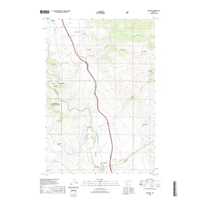
2020 Melrose
Silver Bow County, MT
2020 Mount Humbug
Silver Bow County, MT
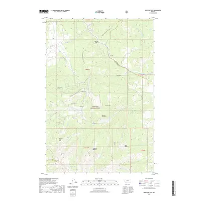
2020 Pipestone Pass
Silver Bow County, MT
2020 Ramsay
Silver Bow County, MT
2020 Tucker Creek
Silver Bow County, MT
2020 Wickiup Creek
Silver Bow County, MT
2024 Burnt Mountain
Silver Bow County, MT
2024 Butte North
Silver Bow County, MT
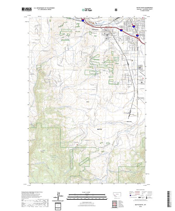
2024 Butte South
Silver Bow County, MT
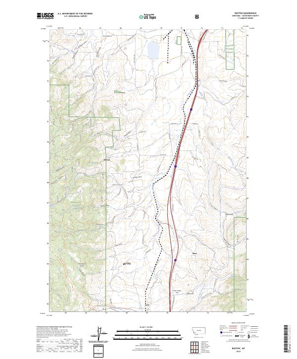
2024 Buxton
Silver Bow County, MT
2024 Dickie Peak
Silver Bow County, MT
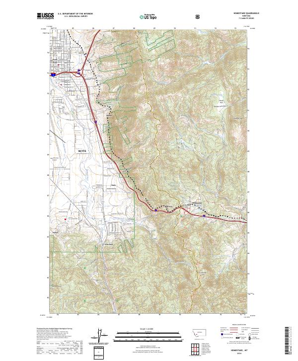
2024 Homestake
Silver Bow County, MT
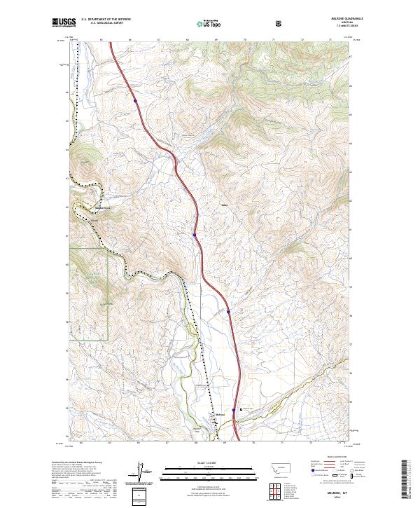
2024 Melrose
Silver Bow County, MT
2024 Mount Humbug
Silver Bow County, MT
2024 Pipestone Pass
Silver Bow County, MT
2024 Ramsay
Silver Bow County, MT
2024 Tucker Creek
Silver Bow County, MT
2024 Wickiup Creek
Silver Bow County, MT