
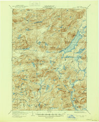
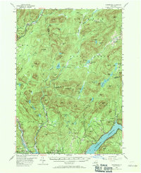
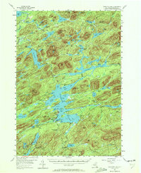
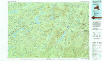
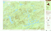
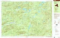
2023 Map of Hope Falls
USGS Topo · Published 2023About this map
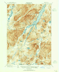
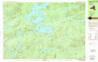
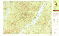
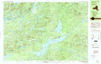
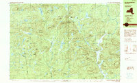
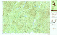
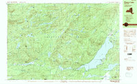
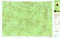
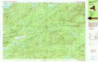
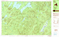
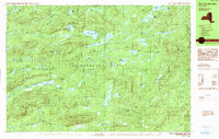
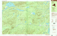
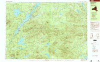
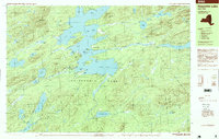
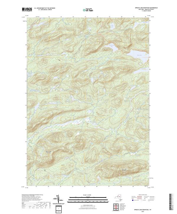
The Sacandaga River and East Stony Creek carve through this high-elevation landscape within the Adirondack Park Preserve, where the settlement of Maple Grove sits near the southern boundary. This terrain is defined by a dense network of peaks including Buck Mountain, Pine Mountain, and Gene Edwards Mountain, connected by a web of trails such as the Wilcox Lake - Willis Lake Trl and East Stony Creek Trl. Genealogical interest is found in local landmarks like Wadsworth Cem and Willard Cem, which remain as markers of the area's early residency.
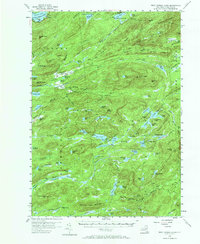
Find a feature on this map
61 named features on this map. Tap any name to fly to it.
Don’t see what you’re looking for? This feature index may not catch every label — zoom into the map to look around manually.
Map Details
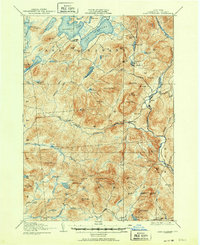
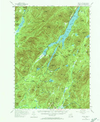
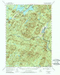
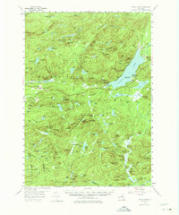
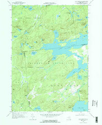
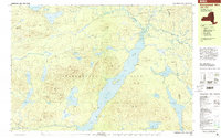
Editions of this 2023 Hope Falls Map
This is the sole edition of this map. No revisions or reprints were ever made.
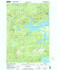
Historical Maps of Maple Grove Through Time
81 maps found

1899 Indian Lake
Hamilton County, NY

1900 Canada Lake
Hamilton County, NY
1902 Indian Lake
Hamilton County, NY
1903 Blue Mountain
Hamilton County, NY
1903 Raquette Lake
Hamilton County, NY
1903 West Canada Lakes
Hamilton County, NY

1904 Piseco Lake
Hamilton County, NY
1906 Piseco Lake
Hamilton County, NY
1907 Lake Pleasant
Hamilton County, NY

1908 Piseco Lake
Hamilton County, NY
1910 Stony Creek
Hamilton County, NY
1954 Blue Mountain
Hamilton County, NY
1954 Harrisburg
Hamilton County, NY
1954 Indian Lake
Hamilton County, NY
1954 Lake Pleasant
Hamilton County, NY
1954 Piseco Lake
Hamilton County, NY
1954 Raquette Lake
Hamilton County, NY
1954 West Canada Lakes
Hamilton County, NY
1968 Wolf Mountain
Hamilton County, NY
1979 Kempshall Mtn
Hamilton County, NY
1985 Raquette Lake
Hamilton County, NY
1989 Blue Mtn Lake
Hamilton County, NY
1989 Deerland
Hamilton County, NY
1989 Forked Lake
Hamilton County, NY
1989 Raquette Lake
Hamilton County, NY
1990 Indian Lake
Hamilton County, NY
1990 Little Tupper Lake
Hamilton County, NY
1990 Morehouse Mountain
Hamilton County, NY
1990 Page Mountain
Hamilton County, NY
1990 Piseco Lake
Hamilton County, NY
1990 Three Ponds Mountain
Hamilton County, NY
1990 Wakely Mountain
Hamilton County, NY
1990 Wells
Hamilton County, NY
1990 West Canada Lakes
Hamilton County, NY
1997 Blue Mtn Lake
Hamilton County, NY
1997 Deerland
Hamilton County, NY
1997 Forked Lake
Hamilton County, NY
1997 Indian Lake
Hamilton County, NY
1997 Page Mountain
Hamilton County, NY
1997 Piseco Lake
Hamilton County, NY
1997 Raquette Lake
Hamilton County, NY
1997 Three Ponds Mountain
Hamilton County, NY
1997 Wakely Mountain
Hamilton County, NY
1997 Wells
Hamilton County, NY
1997 West Canada Lakes
Hamilton County, NY
1999 Kempshall Mtn
Hamilton County, NY
1999 Little Tupper Lake
Hamilton County, NY
1999 Wolf Mountain
Hamilton County, NY
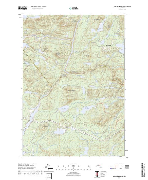
2023 Bad Luck Mountain
Hamilton County, NY
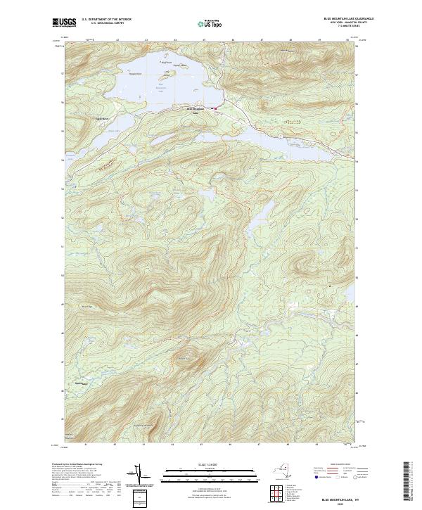
2023 Blue Mountain Lake
Hamilton County, NY

2023 Brandreth Lake
Hamilton County, NY

2023 Cathead Mountain
Hamilton County, NY

2023 Deerland
Hamilton County, NY
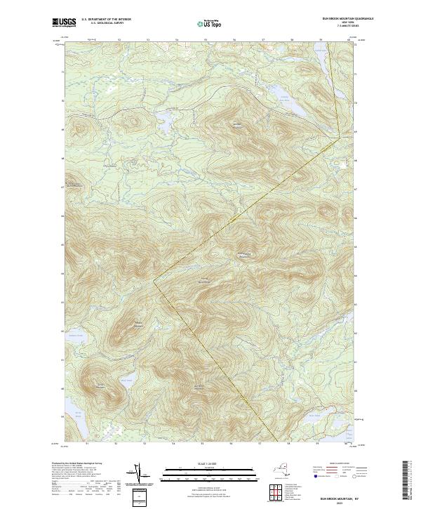
2023 Dun Brook Mountain
Hamilton County, NY

2023 Forked Lake
Hamilton County, NY

2023 Grampus Lake
Hamilton County, NY

2023 Griffin
Hamilton County, NY

2023 Hoffmeister
Hamilton County, NY
2023 Hope Falls
Hamilton County, NY

2023 Indian Lake
Hamilton County, NY

2023 Kempshall Mountain
Hamilton County, NY

2023 Kunjamuk River
Hamilton County, NY

2023 Lake Pleasant
Hamilton County, NY
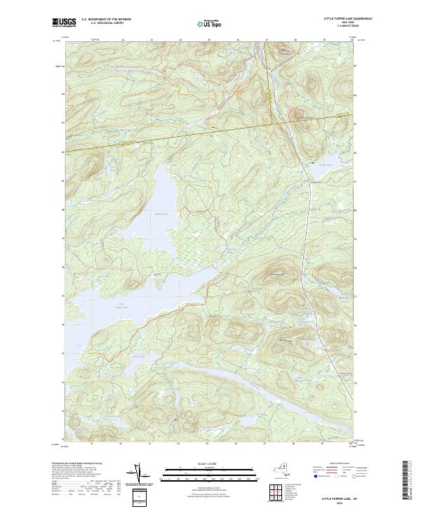
2023 Little Tupper Lake
Hamilton County, NY

2023 Morehouse Lake
Hamilton County, NY

2023 Mount Tom
Hamilton County, NY

2023 Nehasane Lake
Hamilton County, NY

2023 Page Mountain
Hamilton County, NY

2023 Piseco Lake
Hamilton County, NY

2023 Raquette Lake
Hamilton County, NY

2023 Rock Lake
Hamilton County, NY

2023 Sabattis
Hamilton County, NY

2023 Sargent Ponds
Hamilton County, NY

2023 Snowy Mountain
Hamilton County, NY

2023 Spruce Lake
Hamilton County, NY
2023 Spruce Lake Mountain
Hamilton County, NY

2023 Tomany Mountain
Hamilton County, NY

2023 Wakely Mountain
Hamilton County, NY

2023 Wells
Hamilton County, NY

2023 Whitehouse
Hamilton County, NY

2023 Wolf Mountain
Hamilton County, NY