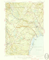
1944 Map of Kennebunk
USGS Topo · Published 1944About this map
Kennebunk and its surrounding coastal villages are shown here just as the United States entered the second World War, following a 1941 survey. The landscape is defined by the Mousam River and Kennebunk River as they flow toward the Atlantic Ocean, supporting a historic milling economy evidenced by sites like Alfred Mills, Days Mill, and Bartlett Mills. The interior is dotted with numbered rural schools, such as School No 14 and School No 7, while the rail corridor of the Boston and Maine cuts through the region, connecting hubs like North Berwick and Kennebunk.
Find a feature on this map
95 named features on this map. Tap any name to fly to it.
Don’t see what you’re looking for? This feature index may not catch every label — zoom into the map to look around manually.
Map Details
Editions of this 1944 Kennebunk Map
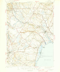
2 editions found
Other maps of this area

1891 · Portland
USGS Topo · 1:62,500

1891 · Biddeford
USGS Topo · 1:62,500

1891 · Berwick
USGS Topo · 1:62,500

1891 · Kennebunk
USGS Topo · 1:62,500

1891 · Buxton
USGS Topo · 1:62,500

1891 · Newfield
USGS Topo · 1:62,500

1892 · Buxton
USGS Topo · 1:62,500

1893 · Kennebunk
USGS Topo · 1:62,500

1893 · Dover
USGS Topo · 1:62,500

1893 · Berwick
USGS Topo · 1:62,500