2023 Map of Optimo
USGS Topo · Published 2023About this map
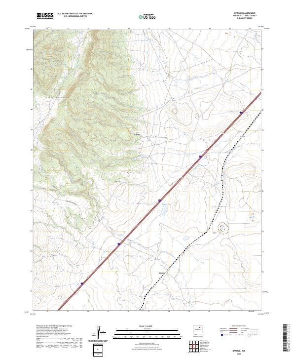
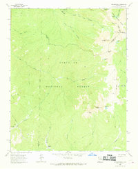
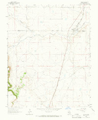
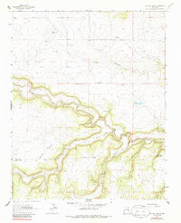
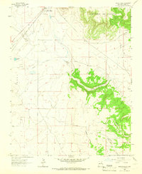
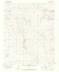
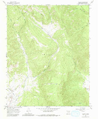
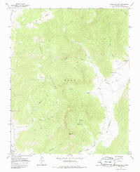
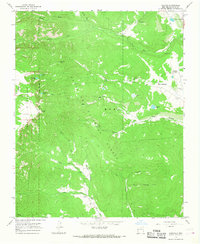
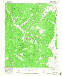
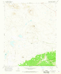
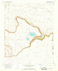
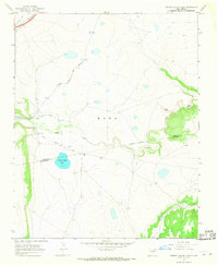
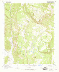
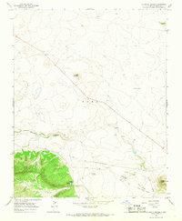
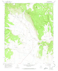
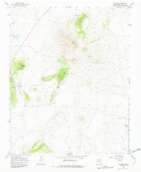
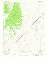
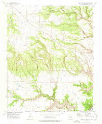
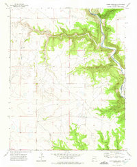
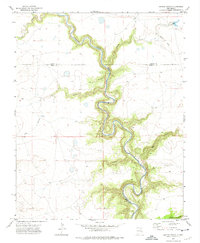
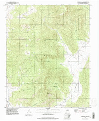
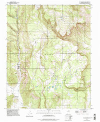
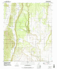
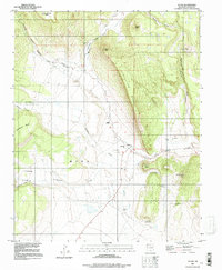
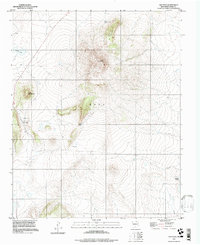
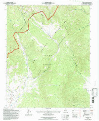
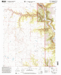
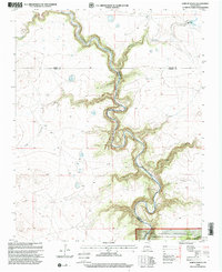
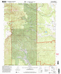
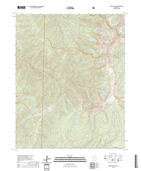
The Turkey Mountains dominate the western horizon of this Mora County landscape, their elevated terrain dropping sharply into a plains environment defined by intermittent drainage systems. The settlement of Optimo sits at a crossroads in the southern portion of the sheet, while the locality of Ciruela is positioned further north near the mountain foothills. This area is characterized by a network of seasonal watercourses, including Arroyo Tierra Blanca, Arroyo Chorro, and Ciruela Creek, which channel runoff from the high ground toward the basin floor. Human activity is largely structured around the transit corridor cutting diagonally across the quadrangle, with secondary access provided by routes such as Christmas Ranch Rd. Notable water features include Calleys Lake, a significant catchment point in an otherwise arid stretch of the high plains east of the mountains.
Find a feature on this map
9 named features on this map. Tap any name to fly to it.
Don’t see what you’re looking for? This feature index may not catch every label — zoom into the map to look around manually.
Map Details
Editions of this 2023 Optimo Map
This is the sole edition of this map. No revisions or reprints were ever made.
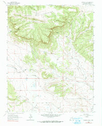
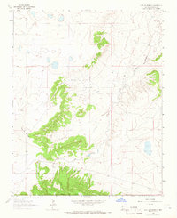
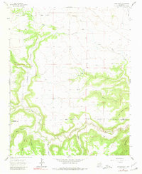
Historical Maps of Optimo Through Time
74 maps found
1963 Fort Union
Mora County, NM
1963 Loma Parda
Mora County, NM
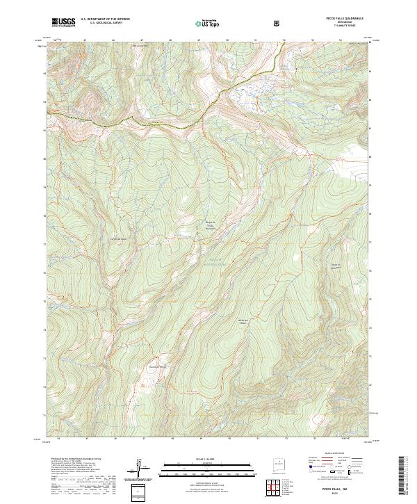
1963 Pecos Falls
Mora County, NM

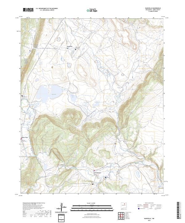
1963 Rainsville
Mora County, NM
1963 Truchas Peak
Mora County, NM
1964 Alamosa Creek
Mora County, NM
1964 Alto De Hormiga
Mora County, NM
1964 Canon Ancho
Mora County, NM
1964 Colmor
Mora County, NM
1964 Frutosa Lake
Mora County, NM
1964 Mogote Hills
Mora County, NM
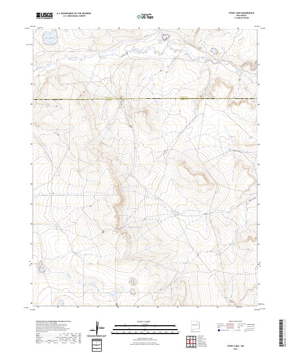
1964 Stony Lake
Mora County, NM
1965 Chacon
Mora County, NM
1965 Comanche Peak
Mora County, NM
1965 Gascon
Mora County, NM
1965 Holman
Mora County, NM
1966 Cerro Negro
Mora County, NM
1966 Charette Lake
Mora County, NM
1966 Cherry Valley Lake
Mora County, NM
1966 Guadalupita
Mora County, NM
1966 La Chata Crater
Mora County, NM
1966 Lucero
Mora County, NM
1966 Maxson Crater
Mora County, NM
1966 Mora Ranch
Mora County, NM
1966 Ocate
Mora County, NM
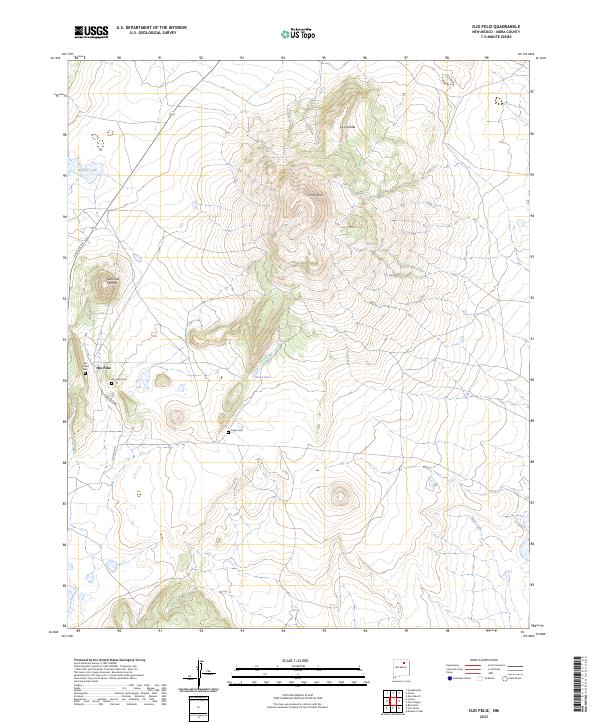
1966 Ojo Feliz
Mora County, NM
1966 Optimo
Mora County, NM
1971 Alamito
Mora County, NM
1971 Canon Las Cuevas
Mora County, NM
1972 Canon Colorado
Mora County, NM
1972 Jaritas Ranch
Mora County, NM
1994 Comanche Peak
Mora County, NM
1994 Guadalupita
Mora County, NM
1994 Lucero
Mora County, NM
1994 Ocate
Mora County, NM
1994 Ojo Feliz
Mora County, NM
1995 Chacon
Mora County, NM
1995 Holman
Mora County, NM
1995 Pecos Falls
Mora County, NM
1995 Truchas Peak
Mora County, NM
1998 Canon Colorado
Mora County, NM
1998 Jaritas Ranch
Mora County, NM
2002 Gascon
Mora County, NM
2023 Alamito
Mora County, NM
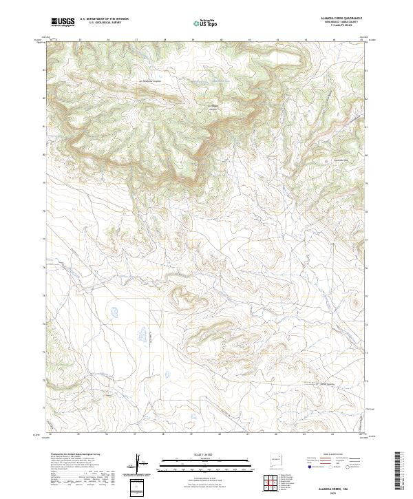
2023 Alamosa Creek
Mora County, NM
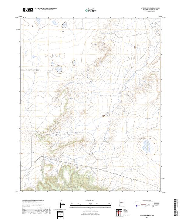
2023 Alto De Hormiga
Mora County, NM
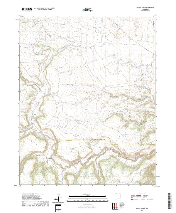
2023 Canon Ancho
Mora County, NM
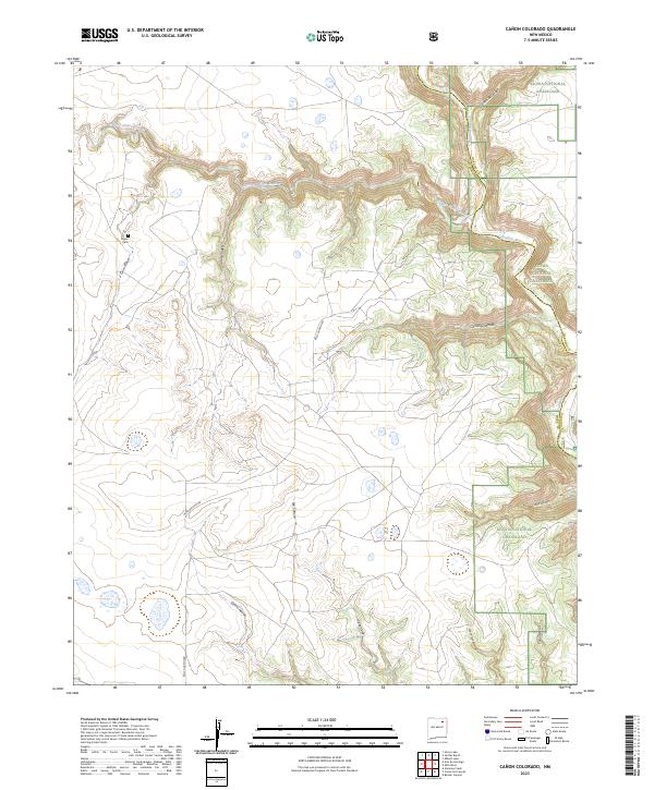
2023 Canon Colorado
Mora County, NM
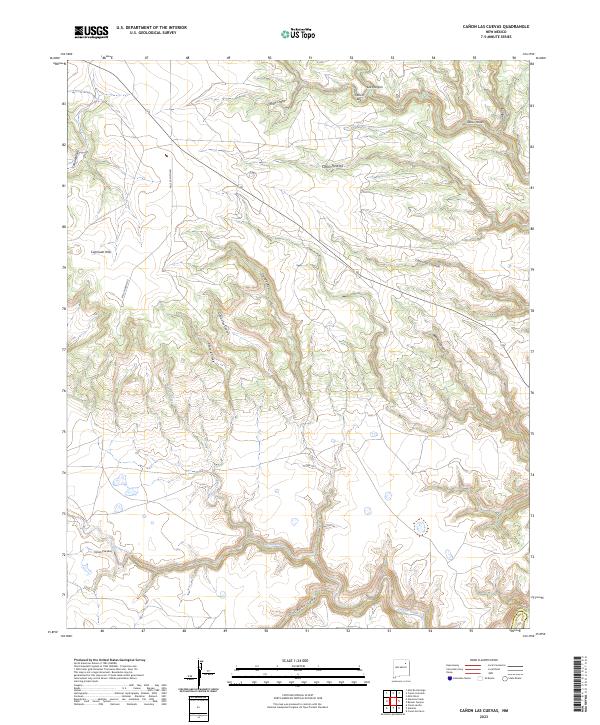
2023 Canon Las Cuevas
Mora County, NM
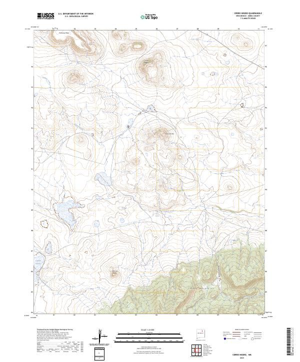
2023 Cerro Negro
Mora County, NM
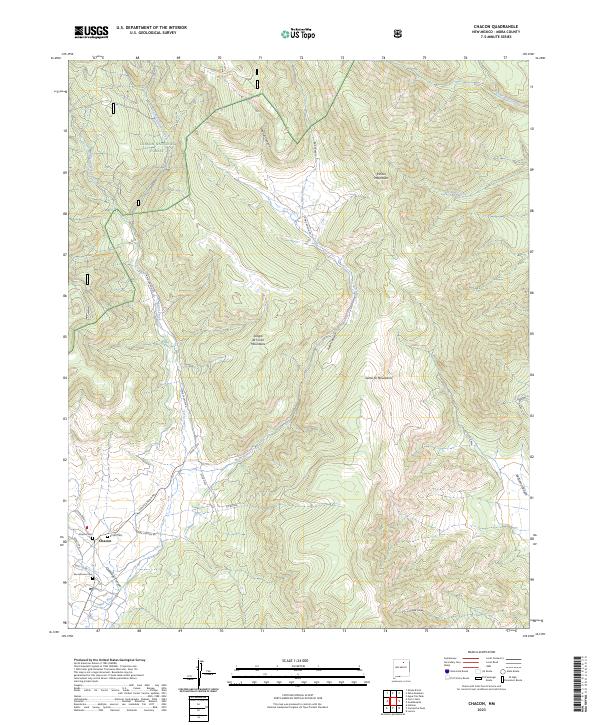
2023 Chacon
Mora County, NM
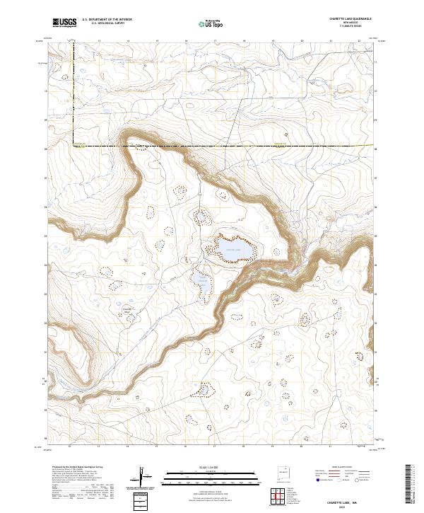
2023 Charette Lake
Mora County, NM
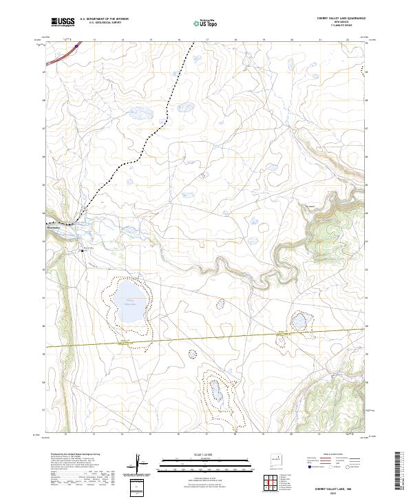
2023 Cherry Valley Lake
Mora County, NM
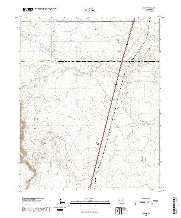
2023 Colmor
Mora County, NM
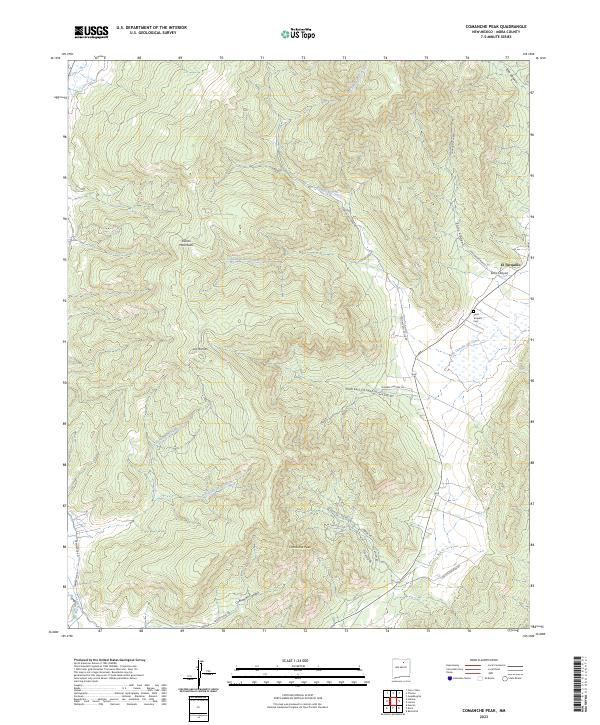
2023 Comanche Peak
Mora County, NM
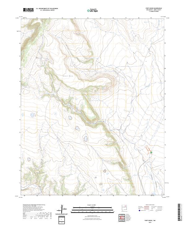
2023 Fort Union
Mora County, NM
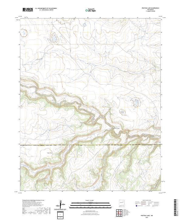
2023 Frutosa Lake
Mora County, NM
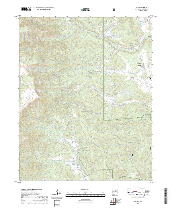
2023 Gascon
Mora County, NM
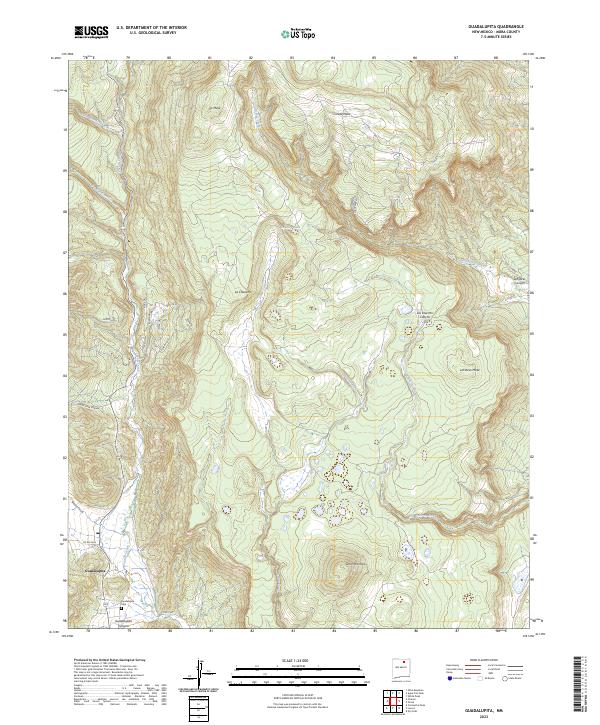
2023 Guadalupita
Mora County, NM
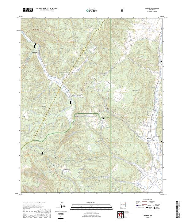
2023 Holman
Mora County, NM
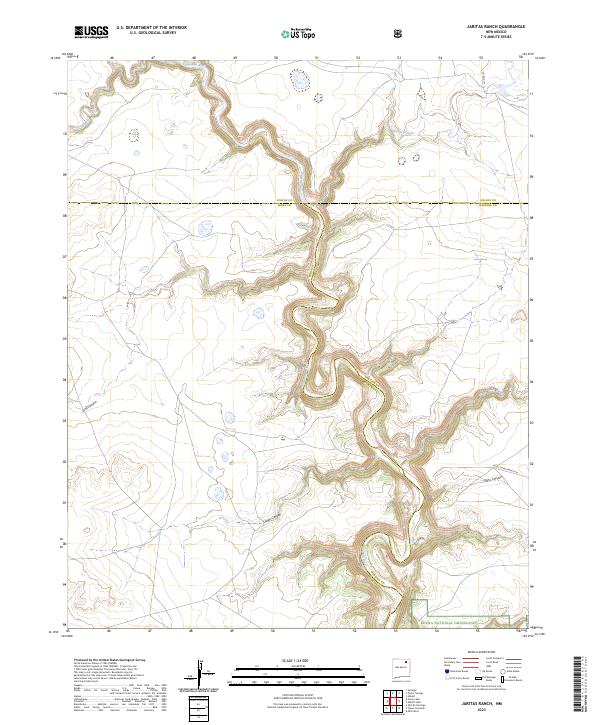
2023 Jaritas Ranch
Mora County, NM
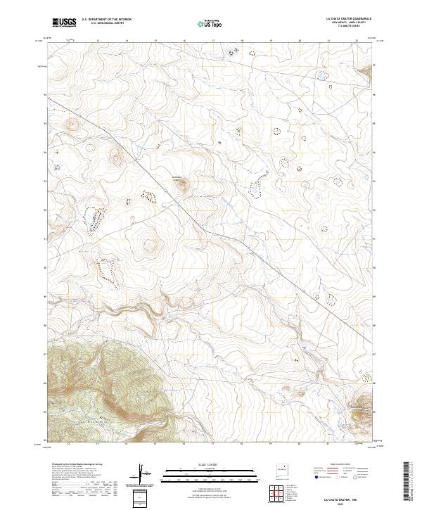
2023 La Chata Crater
Mora County, NM
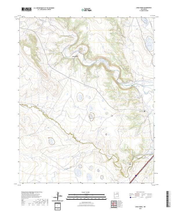
2023 Loma Parda
Mora County, NM
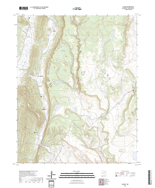
2023 Lucero
Mora County, NM
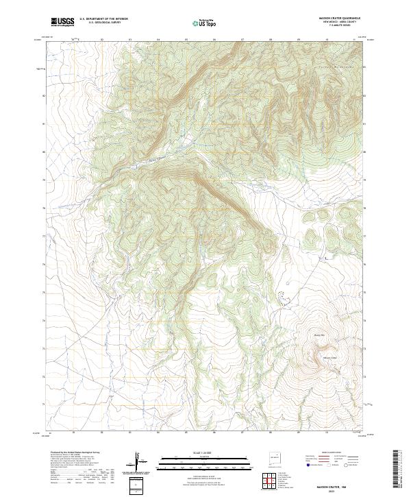
2023 Maxson Crater
Mora County, NM
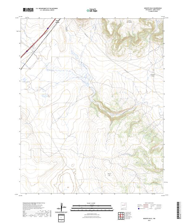
2023 Mogote Hills
Mora County, NM
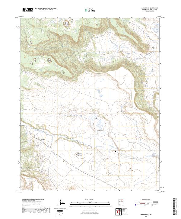
2023 Mora Ranch
Mora County, NM
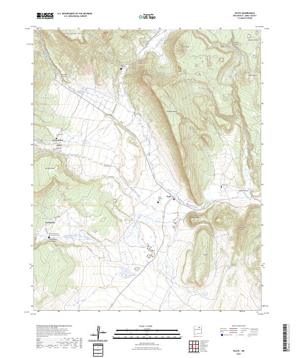
2023 Ocate
Mora County, NM
2023 Ojo Feliz
Mora County, NM
2023 Optimo
Mora County, NM
2023 Pecos Falls
Mora County, NM
2023 Rainsville
Mora County, NM
2023 Stony Lake
Mora County, NM
2023 Truchas Peak
Mora County, NM