
1937 Map of Berwick
USGS Topo · Published 1937About this map
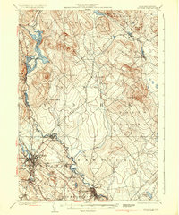
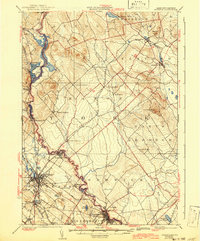
The Salmon Falls River serves as a natural boundary between Maine and New Hampshire on this 1930s-era study, defining the corridor where industrial hubs like Rochester and Somersworth developed. The landscape is marked by a transition from the mill towns of the river valley to the upland ridges of Milton Ridge and Pine Hill. Local transportation networks are highly detailed, showing the Portland and Rochester Railroad cutting through the center of Lebanon, while the Maine Central RR and Boston and Maine RR connect the manufacturing centers.
Find a feature on this map
62 named features on this map. Tap any name to fly to it.
Don’t see what you’re looking for? This feature index may not catch every label — zoom into the map to look around manually.
Map Details
Editions of this 1937 Berwick Map
3 editions found
Other maps of this area

1891 · Berwick
USGS Topo · 1:62,500

1891 · Kennebunk
USGS Topo · 1:62,500

1891 · Buxton
USGS Topo · 1:62,500

1891 · Newfield
USGS Topo · 1:62,500

1892 · Buxton
USGS Topo · 1:62,500

1893 · Kennebunk
USGS Topo · 1:62,500

1893 · Dover
USGS Topo · 1:62,500

1893 · Berwick
USGS Topo · 1:62,500

1893 · York
USGS Topo · 1:62,500

1893 · Buxton
USGS Topo · 1:62,500