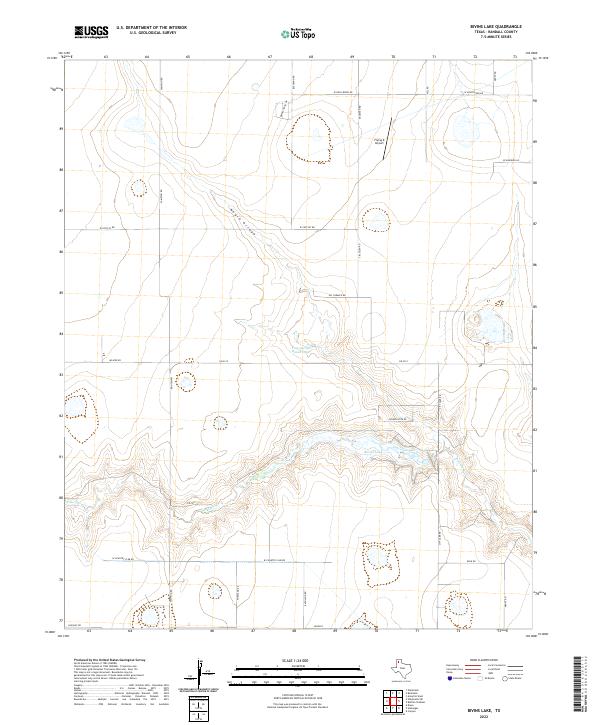
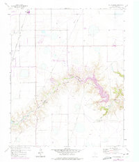
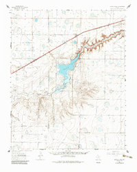
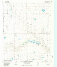
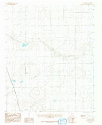
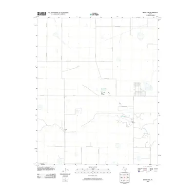
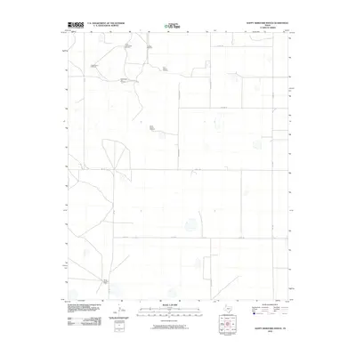
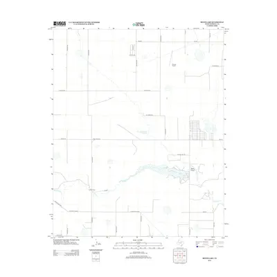
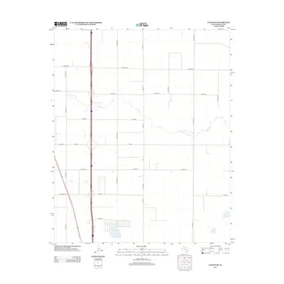
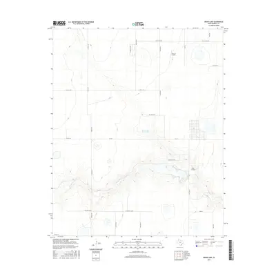
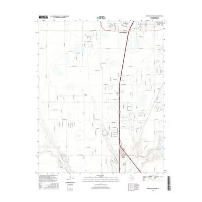
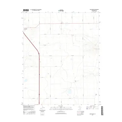
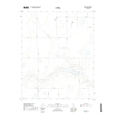
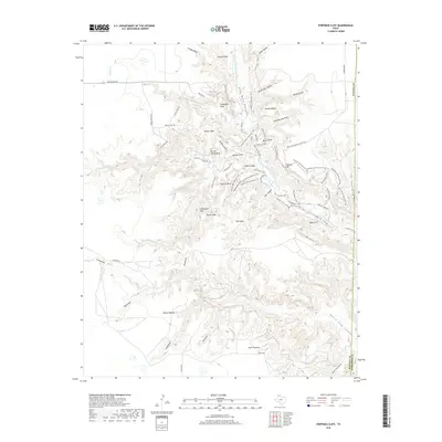
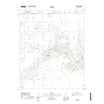
2022 Map of Bivins Lake
USGS Topo · Published 2022About this map
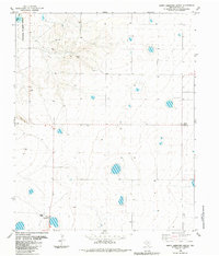
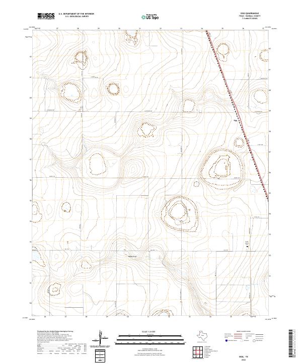
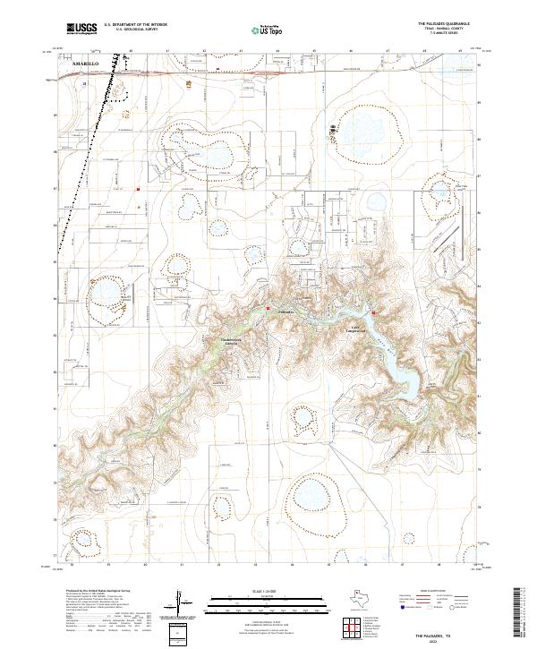
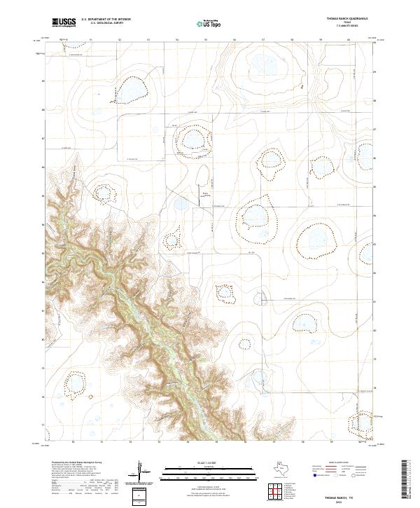
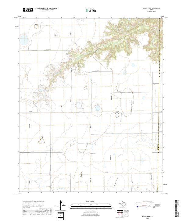
Palo Duro Creek carves a deep, winding path through this portion of Randall County, creating a distinct topographical break in the High Plains. The waterway is punctuated by Bivins Lake, a central feature that anchors the surrounding ranching and residential landscape. To the north, the Negro Arroyo drains into the lower elevations, while Tom Gerald Ranch Lake serves as another significant water resource on this private ranchland. The mapping of the area in 2022 shows a network of rural roads such as Fm 2219 and W Country Club Rd that connect modern developments and ranch headquarters. Near the southern edge, the settlement area of Hunsley sits just above the breaks, while the Flying K Airport provides a localized aviation landmark amidst the cattle country and canyons.
Find a feature on this map
26 named features on this map. Tap any name to fly to it.
Don’t see what you’re looking for? This feature index may not catch every label — zoom into the map to look around manually.
Map Details
Editions of this 2022 Bivins Lake Map
This is the sole edition of this map. No revisions or reprints were ever made.
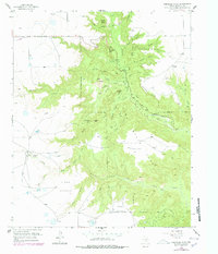
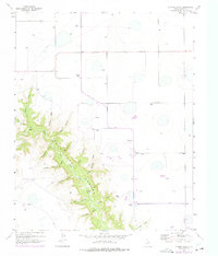
Historical Maps of Randall County Through Time
61 maps found
1956 Fortress Cliff
Randall County, TX
1956 Thomas Ranch
Randall County, TX
1960 Buffalo Stadium
Randall County, TX
1960 The Palisades
Randall County, TX
1961 Buffalo Lake
Randall County, TX
1984 Bivins Lake
Randall County, TX
1984 Canyon SE
Randall County, TX
1984 Happy Hereford Ranch
Randall County, TX
1984 Nance Ranch
Randall County, TX
1984 Ogg
Randall County, TX
1984 Wesley Point
Randall County, TX
2010 Bivins Lake
Randall County, TX
2010 Buffalo Stadium
Randall County, TX
2010 Canyon SE
Randall County, TX
2010 Fortress Cliff
Randall County, TX
2010 Happy Hereford Ranch
Randall County, TX
2010 Nance Ranch
Randall County, TX
2010 Ogg
Randall County, TX
2010 The Palisades
Randall County, TX
2010 Thomas Ranch
Randall County, TX
2010 Wesley Point
Randall County, TX
2012 Bivins Lake
Randall County, TX
2012 Buffalo Stadium
Randall County, TX
2012 Canyon SE
Randall County, TX

2012 Fortress Cliff
Randall County, TX
2012 Happy Hereford Ranch
Randall County, TX
2012 Nance Ranch
Randall County, TX
2012 Ogg
Randall County, TX
2012 Thomas Ranch
Randall County, TX
2012 Wesley Point
Randall County, TX
2013 The Palisades
Randall County, TX
2016 Bivins Lake
Randall County, TX
2016 Buffalo Stadium
Randall County, TX
2016 Canyon SE
Randall County, TX
2016 Fortress Cliff
Randall County, TX
2016 Happy Hereford Ranch
Randall County, TX
2016 Nance Ranch
Randall County, TX
2016 Ogg
Randall County, TX
2016 The Palisades
Randall County, TX
2016 Thomas Ranch
Randall County, TX
2016 Wesley Point
Randall County, TX
2019 Bivins Lake
Randall County, TX
2019 Buffalo Stadium
Randall County, TX
2019 Canyon SE
Randall County, TX
2019 Fortress Cliff
Randall County, TX
2019 Happy Hereford Ranch
Randall County, TX
2019 Nance Ranch
Randall County, TX
2019 Ogg
Randall County, TX
2019 The Palisades
Randall County, TX
2019 Thomas Ranch
Randall County, TX
2019 Wesley Point
Randall County, TX
2022 Bivins Lake
Randall County, TX
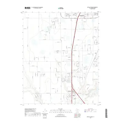
2022 Buffalo Stadium
Randall County, TX
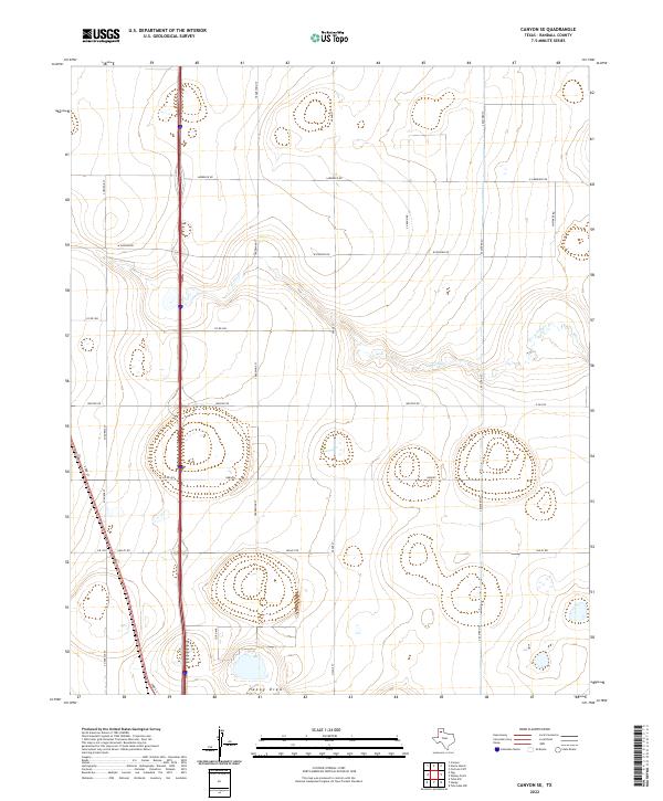
2022 Canyon SE
Randall County, TX
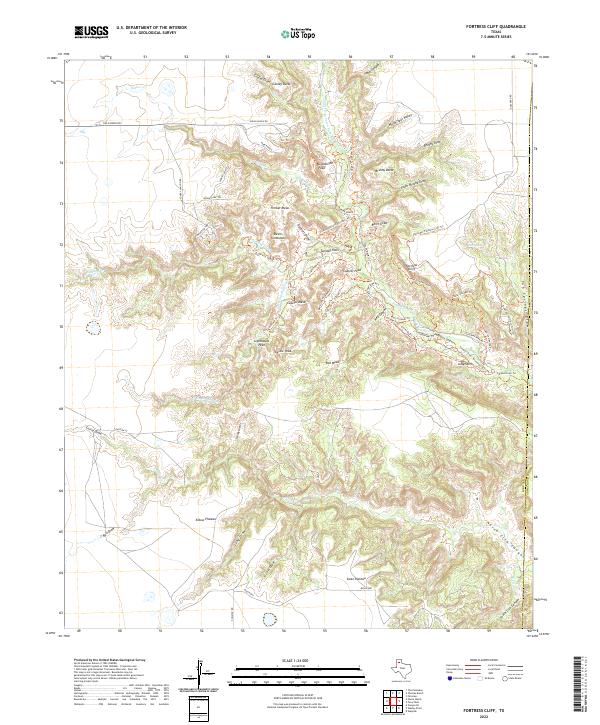
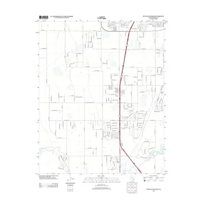
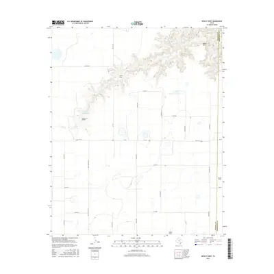
2022 Fortress Cliff
Randall County, TX
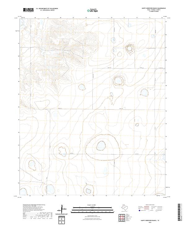
2022 Happy Hereford Ranch
Randall County, TX
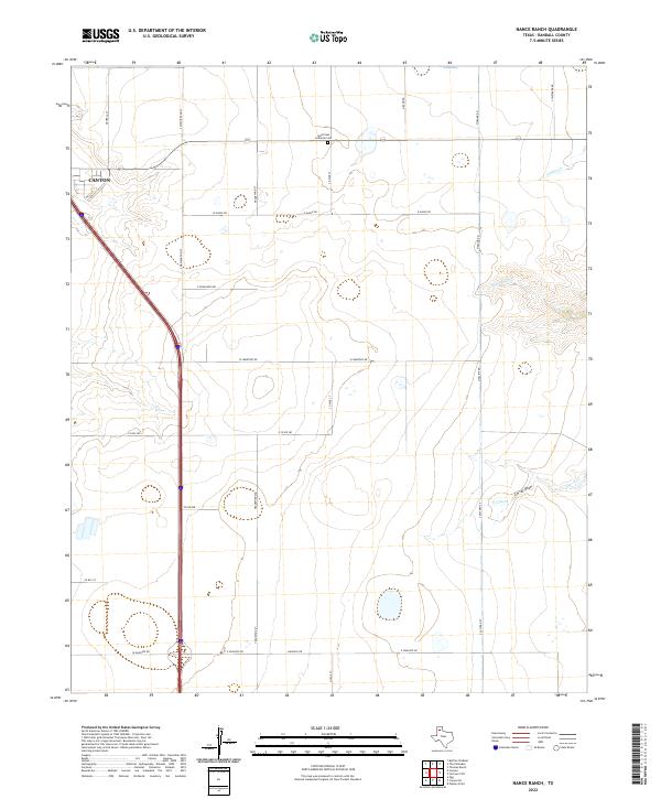
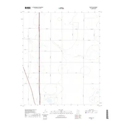
2022 Nance Ranch
Randall County, TX
2022 Ogg
Randall County, TX
2022 The Palisades
Randall County, TX
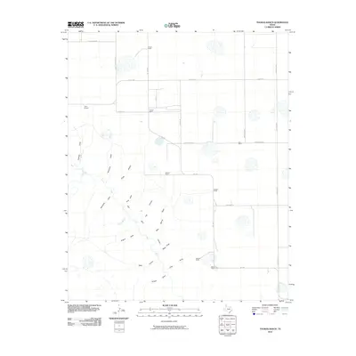
2022 Thomas Ranch
Randall County, TX
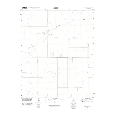
2022 Wesley Point
Randall County, TX