2024 Map of Pickardville
USGS Topo · Published 2024About this map
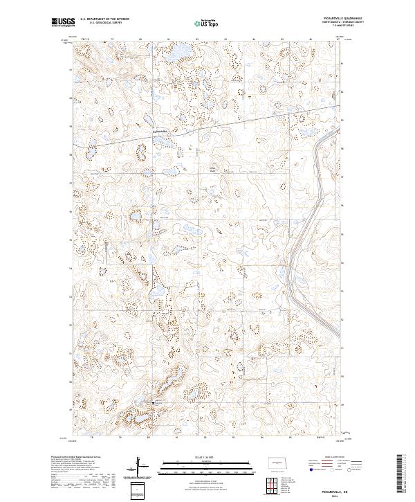
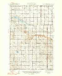
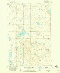
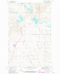
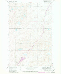
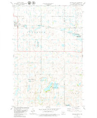
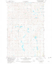
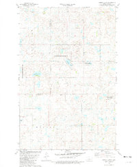
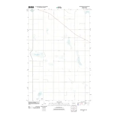
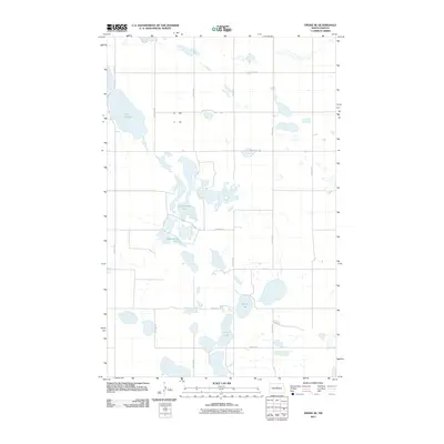
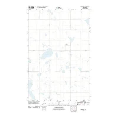
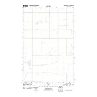
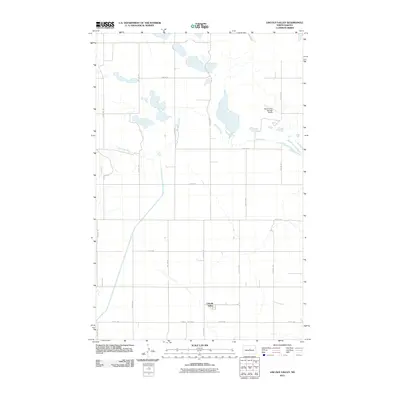
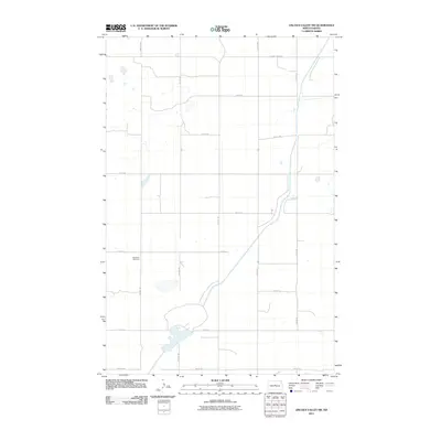
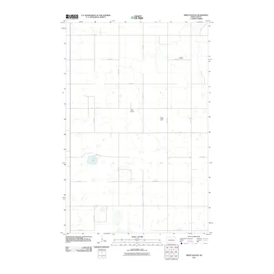
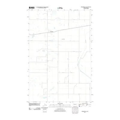
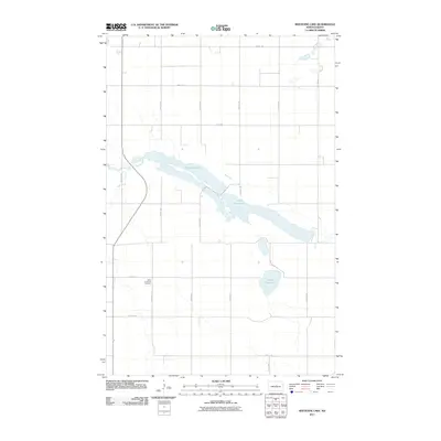
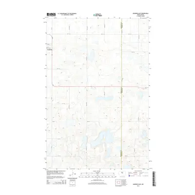
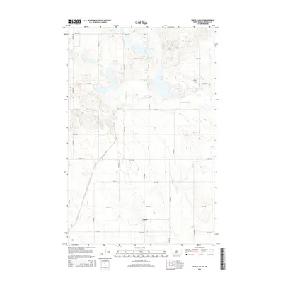
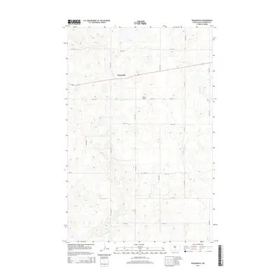
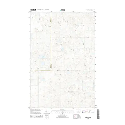
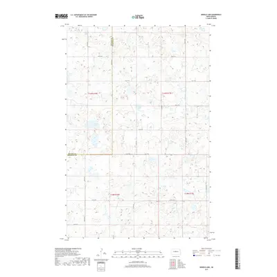
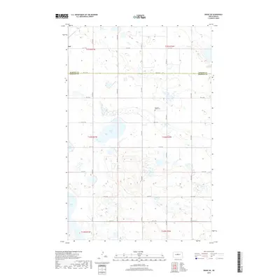
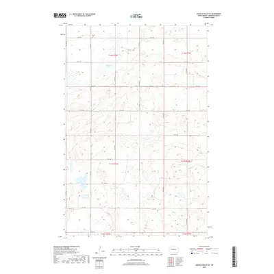
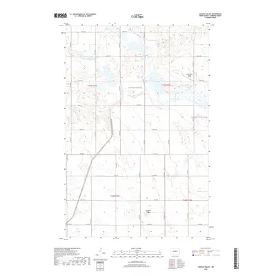
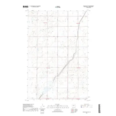
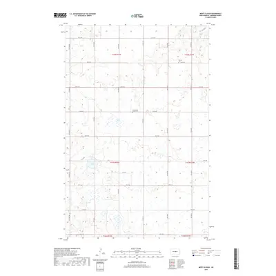
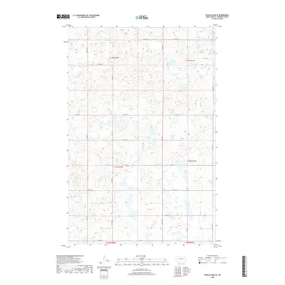
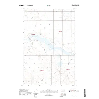
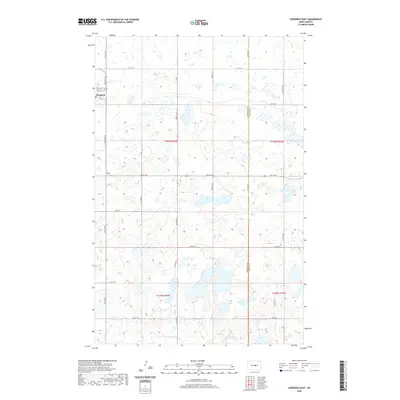
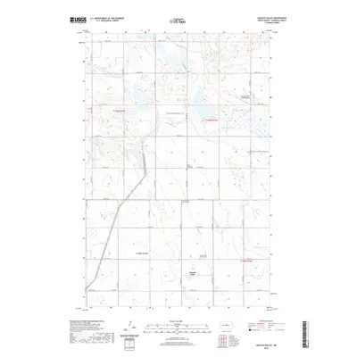
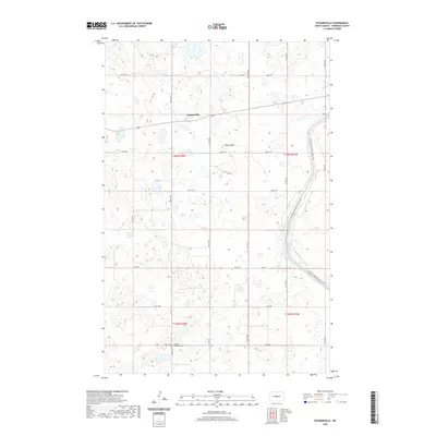
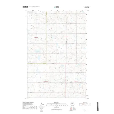
Pickardville sits at the heart of this Sheridan County landscape, where the prairie is defined by a dense network of seasonal wetlands and glacial depressions. This modern survey illustrates the persistent agricultural grid of the region, anchored by the Edgmont Township Cem to the south. The most prominent modern engineering feature is the McClusky Canal, which cuts a distinct path through the eastern sections of the quadrangle. This water infrastructure, alongside the Sheridan County Waterfowl Production Area, highlights the intersection of land management and natural prairie pothole ecosystems. For those traversing the area on foot, the North Country National Scenic Trl parallels the canal, providing a recreational corridor through the rolling terrain of Klinks Slope and the surrounding farmland.
Find a feature on this map
32 named features on this map. Tap any name to fly to it.
Don’t see what you’re looking for? This feature index may not catch every label — zoom into the map to look around manually.
Map Details
Editions of this 2024 Pickardville Map
This is the sole edition of this map. No revisions or reprints were ever made.
Historical Maps of Pickardville Through Time
103 maps found
1945 Pelican Lake
Sheridan County, ND
1946 Sheyenne Lake
Sheridan County, ND
1947 Lincoln Valley
Sheridan County, ND

1947 Pelican Lake
Sheridan County, ND
1947 Sheyenne Lake
Sheridan County, ND
1950 Sheyenne Lake NE
Sheridan County, ND
1950 Sheyenne Lake
Sheridan County, ND

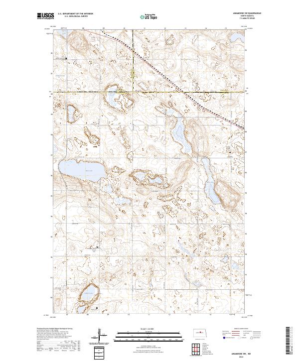
1951 Anamoose SW
Sheridan County, ND
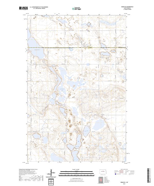
1958 Drake SE
Sheridan County, ND
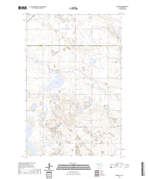
1958 Drake SW
Sheridan County, ND
1959 Pickardville
Sheridan County, ND
1960 Lincoln Valley NW
Sheridan County, ND
1960 Lincoln Valley SE
Sheridan County, ND
1960 Lincoln Valley
Sheridan County, ND
1960 Lincoln Valley SW
Sheridan County, ND
1974 Pelican Lake NE
Sheridan County, ND
1974 Pelican Lake SE
Sheridan County, ND
1978 Goodrich East
Sheridan County, ND
1978 Goodrich West
Sheridan County, ND
1978 Mertz Slough
Sheridan County, ND
1978 Pony Gulch
Sheridan County, ND
1981 Pelican Lake SE
Sheridan County, ND
1981 Siebold Lake
Sheridan County, ND
2011 Anamoose SW
Sheridan County, ND
2011 Drake SE
Sheridan County, ND
2011 Drake SW
Sheridan County, ND
2011 Goodrich East
Sheridan County, ND
2011 Goodrich West
Sheridan County, ND
2011 Lincoln Valley NW
Sheridan County, ND
2011 Lincoln Valley SE
Sheridan County, ND
2011 Lincoln Valley
Sheridan County, ND
2011 Lincoln Valley SW
Sheridan County, ND
2011 Mertz Slough
Sheridan County, ND
2011 Pelican Lake SE
Sheridan County, ND
2011 Pickardville
Sheridan County, ND
2011 Pony Gulch
Sheridan County, ND
2011 Sheyenne Lake NE
Sheridan County, ND
2011 Sheyenne Lake
Sheridan County, ND
2011 Siebold Lake
Sheridan County, ND

2014 Anamoose SW
Sheridan County, ND
2014 Drake SE
Sheridan County, ND
2014 Drake SW
Sheridan County, ND
2014 Goodrich East
Sheridan County, ND
2014 Goodrich West
Sheridan County, ND
2014 Lincoln Valley NW
Sheridan County, ND
2014 Lincoln Valley SE
Sheridan County, ND
2014 Lincoln Valley
Sheridan County, ND
2014 Lincoln Valley SW
Sheridan County, ND
2014 Mertz Slough
Sheridan County, ND
2014 Pelican Lake SE
Sheridan County, ND
2014 Pickardville
Sheridan County, ND
2014 Pony Gulch
Sheridan County, ND
2014 Sheyenne Lake NE
Sheridan County, ND
2014 Sheyenne Lake
Sheridan County, ND
2014 Siebold Lake
Sheridan County, ND
2017 Siebold Lake
Sheridan County, ND
2018 Anamoose SW
Sheridan County, ND
2018 Drake SE
Sheridan County, ND
2018 Drake SW
Sheridan County, ND
2018 Goodrich East
Sheridan County, ND
2018 Goodrich West
Sheridan County, ND
2018 Lincoln Valley NW
Sheridan County, ND
2018 Lincoln Valley SE
Sheridan County, ND
2018 Lincoln Valley
Sheridan County, ND
2018 Lincoln Valley SW
Sheridan County, ND
2018 Mertz Slough
Sheridan County, ND
2018 Pelican Lake SE
Sheridan County, ND
2018 Pickardville
Sheridan County, ND
2018 Pony Gulch
Sheridan County, ND
2018 Sheyenne Lake NE
Sheridan County, ND
2018 Sheyenne Lake
Sheridan County, ND
2020 Anamoose SW
Sheridan County, ND
2020 Drake SE
Sheridan County, ND
2020 Drake SW
Sheridan County, ND
2020 Goodrich East
Sheridan County, ND
2020 Goodrich West
Sheridan County, ND
2020 Lincoln Valley NW
Sheridan County, ND
2020 Lincoln Valley SE
Sheridan County, ND
2020 Lincoln Valley
Sheridan County, ND
2020 Lincoln Valley SW
Sheridan County, ND
2020 Mertz Slough
Sheridan County, ND
2020 Pelican Lake SE
Sheridan County, ND
2020 Pickardville
Sheridan County, ND
2020 Pony Gulch
Sheridan County, ND
2020 Sheyenne Lake NE
Sheridan County, ND
2020 Sheyenne Lake
Sheridan County, ND
2020 Siebold Lake
Sheridan County, ND
2024 Anamoose SW
Sheridan County, ND
2024 Drake SE
Sheridan County, ND
2024 Drake SW
Sheridan County, ND
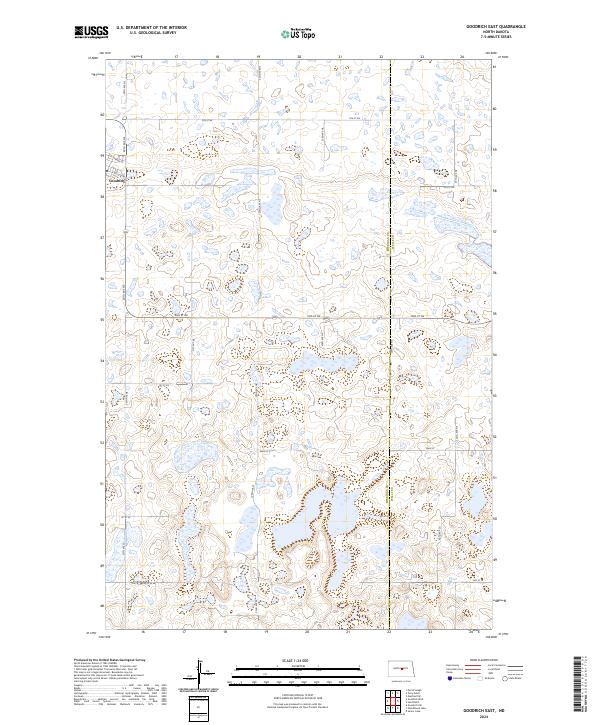
2024 Goodrich East
Sheridan County, ND
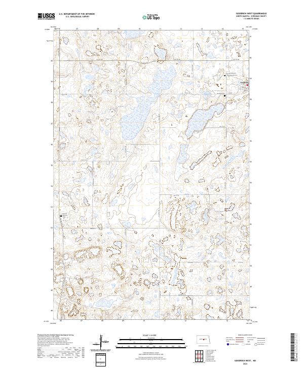
2024 Goodrich West
Sheridan County, ND
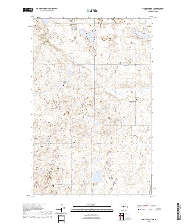
2024 Lincoln Valley NW
Sheridan County, ND
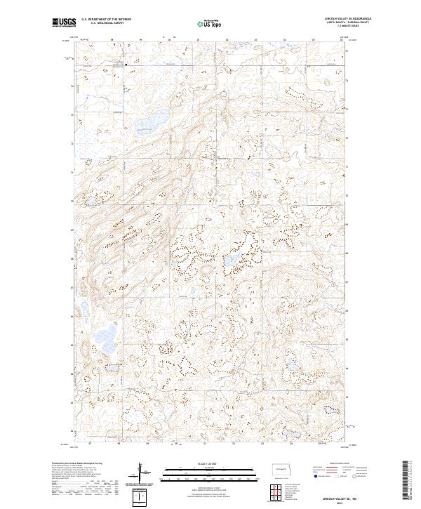
2024 Lincoln Valley SE
Sheridan County, ND
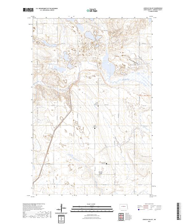
2024 Lincoln Valley
Sheridan County, ND
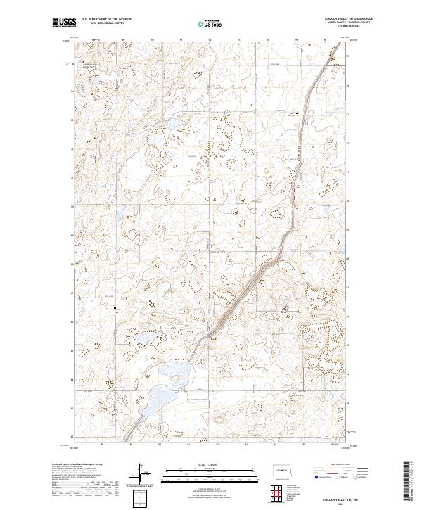
2024 Lincoln Valley SW
Sheridan County, ND
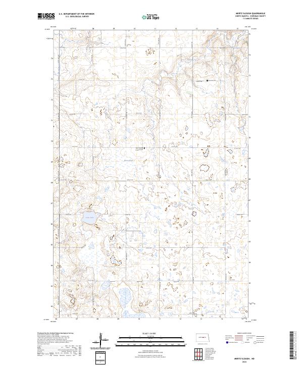
2024 Mertz Slough
Sheridan County, ND
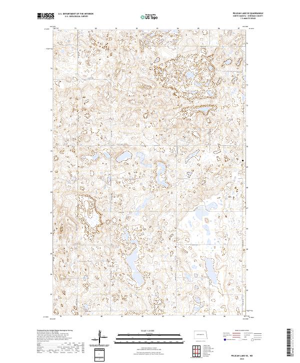
2024 Pelican Lake SE
Sheridan County, ND
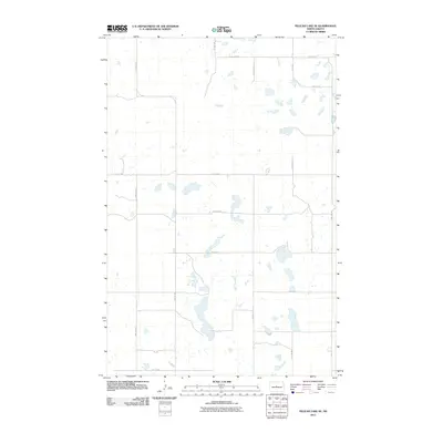
2024 Pickardville
Sheridan County, ND
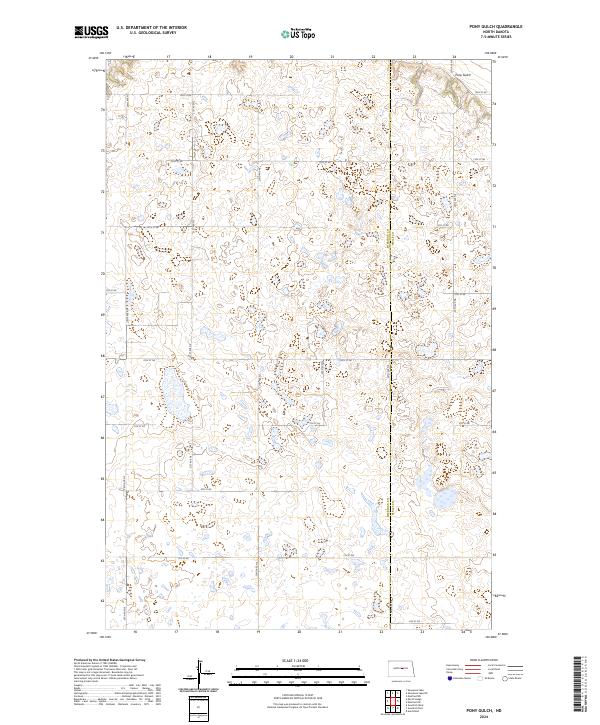
2024 Pony Gulch
Sheridan County, ND
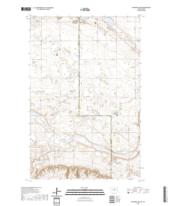
2024 Sheyenne Lake NE
Sheridan County, ND
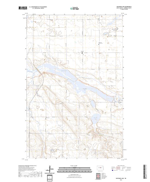
2024 Sheyenne Lake
Sheridan County, ND
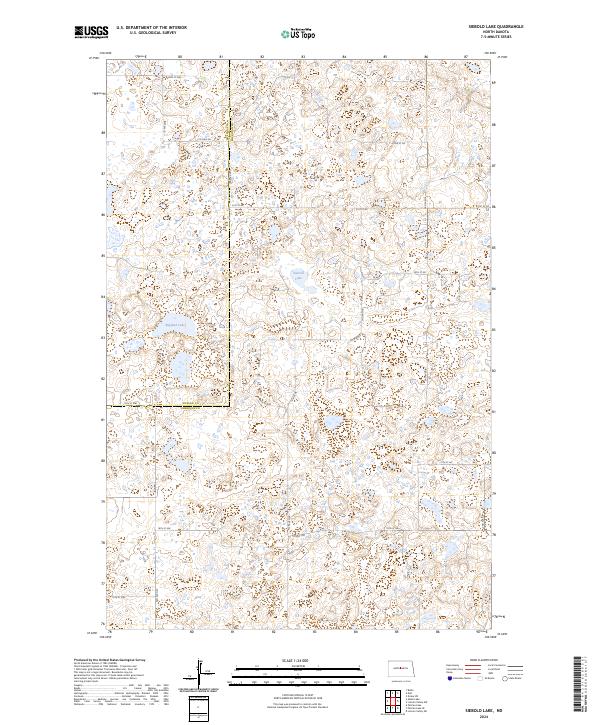
2024 Siebold Lake
Sheridan County, ND