
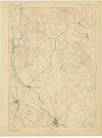
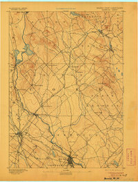
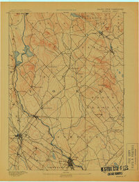
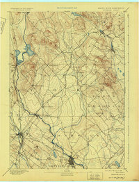
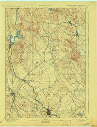
1893 Map of Berwick
USGS Topo · Published 1893About this map
The Salmon Falls River serves as the prominent natural boundary between Maine and New Hampshire, defining the western edge of this 1880s landscape. Industrial and agricultural life centers on the river's path, with Great Falls and Berwick forming a significant junction of commerce and transit. Further north, the settlement of Lebanon is divided into distinct hamlets, including North Lebanon, Center Lebanon, and East Lebanon, reflecting the decentralized nature of rural life before the era of modern consolidation.
Find a feature on this map
44 named features on this map. Tap any name to fly to it.
Don’t see what you’re looking for? This feature index may not catch every label — zoom into the map to look around manually.
Map Details
Editions of this 1893 Berwick Map
6 editions found
Other maps of this area

1891 · Berwick
USGS Topo · 1:62,500

1891 · Kennebunk
USGS Topo · 1:62,500

1891 · Buxton
USGS Topo · 1:62,500

1891 · Newfield
USGS Topo · 1:62,500

1892 · Buxton
USGS Topo · 1:62,500

1893 · Kennebunk
USGS Topo · 1:62,500

1893 · Dover
USGS Topo · 1:62,500

1893 · York
USGS Topo · 1:62,500

1893 · Buxton
USGS Topo · 1:62,500

1893 · Newfield
USGS Topo · 1:62,500