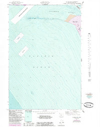
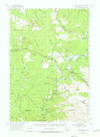
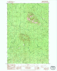
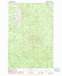
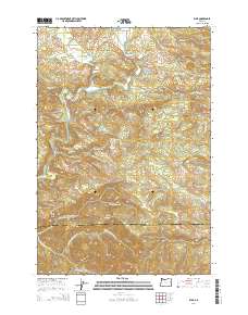
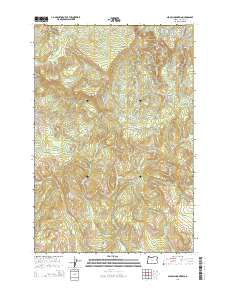
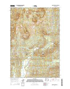
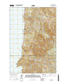
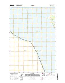
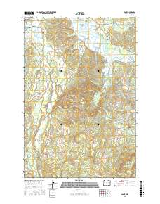
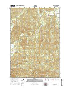
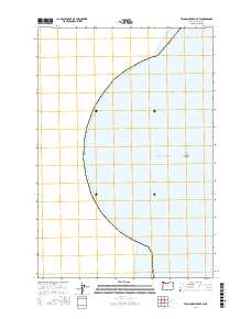
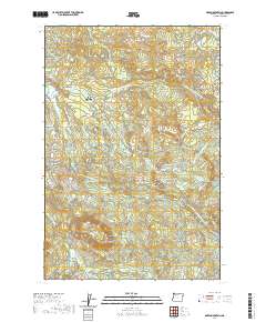
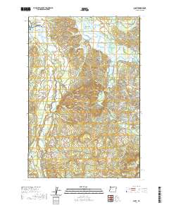
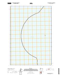
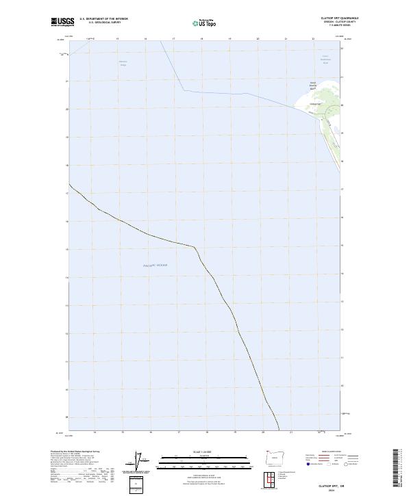
1951 Map of Clatsop Spit
USGS Topo · Published 1984About this map
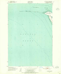
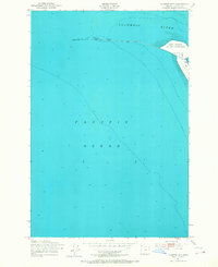
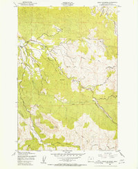
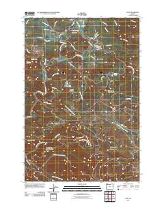
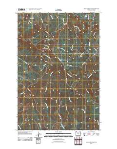
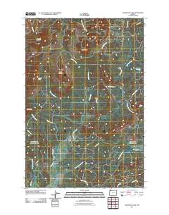
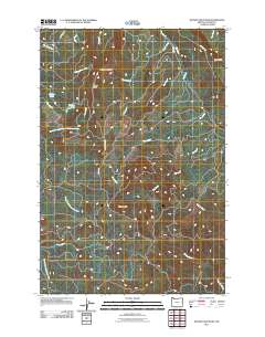
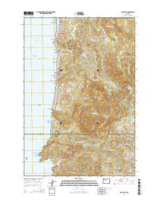
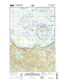
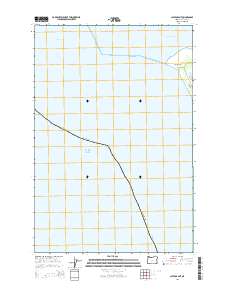
Fort Stevens State Park anchors the shoreline where the Columbia River meets the Pacific Ocean. This bathymetric study documents the shifting sands and strategic maritime infrastructure of Clatsop Spit during the mid-20th century, with late-century revisions tracking changes to the river's entrance. The inclusion of a Submerged Breakwater and a massive Jetty highlights the ongoing engineering efforts to maintain safe passage for vessels entering the river. Near the spit's edge, noted Ruins and the enclosed Jetty Lagoon hint at the area's long military and maritime history. Detailed depth contours and designated Dump Sites reflect the industrial and navigational demands of the Columbia Bar, a waterway defined by its complex currents and sediment movement.
Find a feature on this map
13 named features on this map. Tap any name to fly to it.
Don’t see what you’re looking for? This feature index may not catch every label — zoom into the map to look around manually.
Map Details
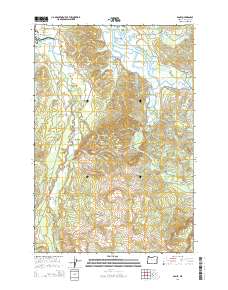
Editions of this 1951 Clatsop Spit Map
3 editions found
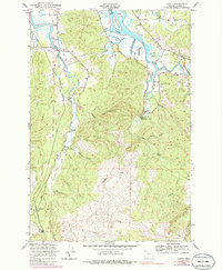
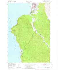
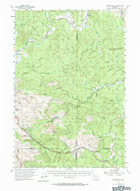
Historical Maps of Clatsop County Through Time
108 maps found

1939 Saddle Mountain
Clatsop County, OR

1940 Cape Falcon
Clatsop County, OR

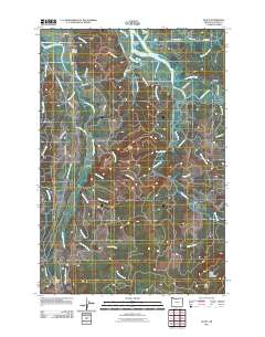
1941 Keasey
Clatsop County, OR

1943 Keasey
Clatsop County, OR

1943 Saddle Mtn.
Clatsop County, OR
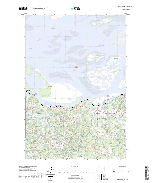
1949 Cathlamet Bay
Clatsop County, OR
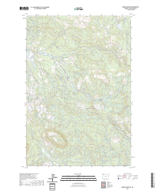
1949 Green Mountain
Clatsop County, OR
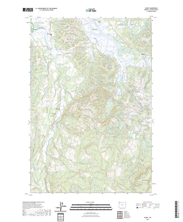
1949 Olney
Clatsop County, OR
1949 Tillamook Head
Clatsop County, OR
1951 Clatsop Spit
Clatsop County, OR
1955 Birkenfeld
Clatsop County, OR
1955 Saddle Mountain
Clatsop County, OR
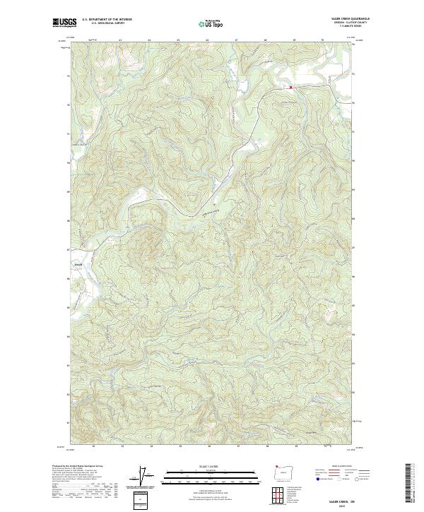
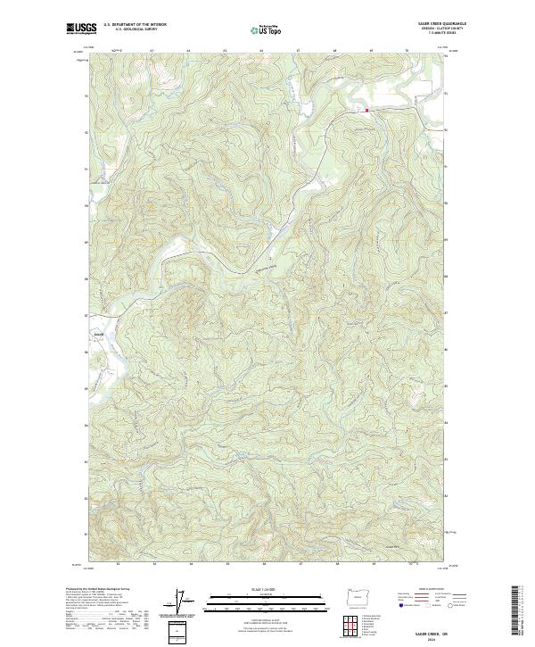
1979 Sager Creek
Clatsop County, OR
1979 Sunset Spring
Clatsop County, OR

1984 Elsie
Clatsop County, OR
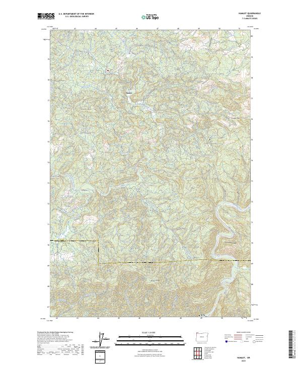
1984 Hamlet
Clatsop County, OR
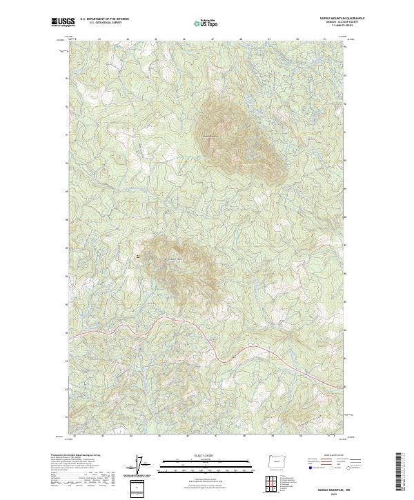
1984 Saddle Mtn
Clatsop County, OR

1984 Vinemaple
Clatsop County, OR
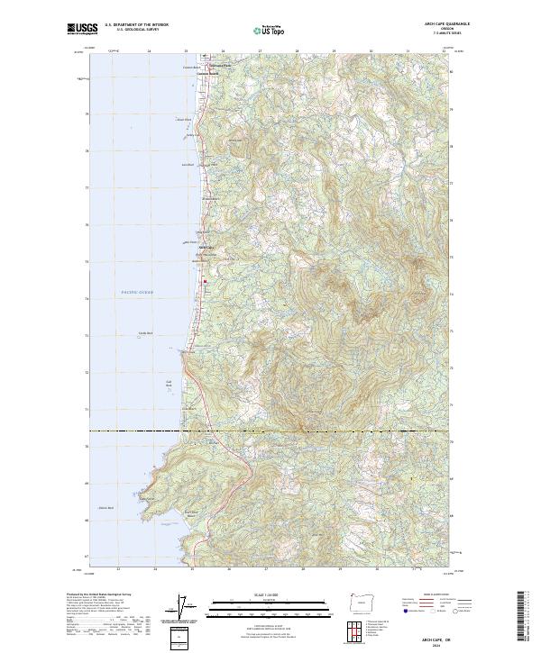
1985 Arch Cape
Clatsop County, OR
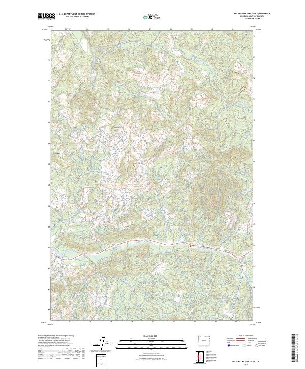
1985 Necanicum Junction
Clatsop County, OR
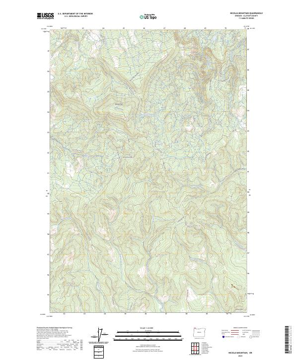
1985 Nicolai Mtn
Clatsop County, OR

1985 Soapstone Lake
Clatsop County, OR
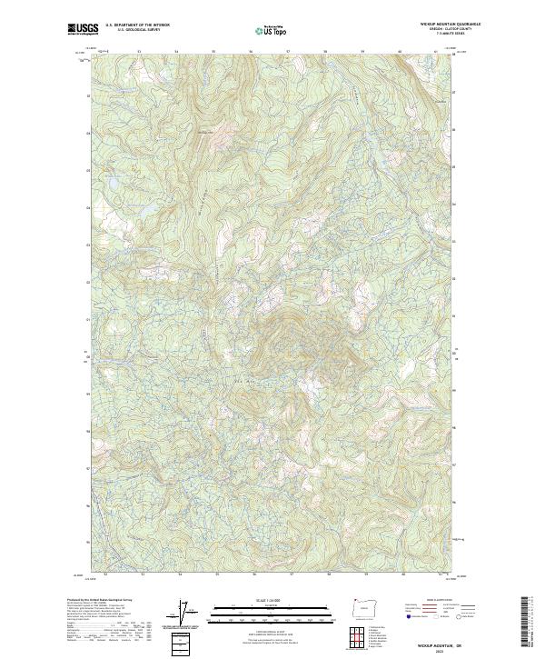
1985 Wickiup Mtn
Clatsop County, OR
2011 Arch Cape
Clatsop County, OR
2011 Cathlamet Bay
Clatsop County, OR
2011 Clatsop Spit
Clatsop County, OR
2011 Elsie
Clatsop County, OR
2011 Green Mountain
Clatsop County, OR
2011 Hamlet
Clatsop County, OR
2011 Necanicum Junction
Clatsop County, OR
2011 Nicolai Mountain
Clatsop County, OR
2011 Olney
Clatsop County, OR
2011 Saddle Mountain
Clatsop County, OR
2011 Sager Creek
Clatsop County, OR
2011 Soapstone Lake
Clatsop County, OR
2011 Sunset Spring
Clatsop County, OR
2011 Tillamook Head
Clatsop County, OR
2011 Vinemaple
Clatsop County, OR
2011 Wickiup Mountain
Clatsop County, OR
2014 Arch Cape
Clatsop County, OR
2014 Cathlamet Bay
Clatsop County, OR
2014 Clatsop Spit
Clatsop County, OR
2014 Elsie
Clatsop County, OR
2014 Green Mountain
Clatsop County, OR
2014 Hamlet
Clatsop County, OR
2014 Necanicum Junction
Clatsop County, OR
2014 Nicolai Mountain
Clatsop County, OR
2014 Olney
Clatsop County, OR
2014 Saddle Mountain
Clatsop County, OR
2014 Sager Creek
Clatsop County, OR
2014 Soapstone Lake
Clatsop County, OR
2014 Sunset Spring
Clatsop County, OR
2014 Tillamook Head
Clatsop County, OR
2014 Tillamook Head OE W
Clatsop County, OR
2014 Vinemaple
Clatsop County, OR
2014 Wickiup Mountain
Clatsop County, OR
2017 Arch Cape
Clatsop County, OR
2017 Cathlamet Bay
Clatsop County, OR
2017 Clatsop Spit
Clatsop County, OR
2017 Elsie
Clatsop County, OR
2017 Green Mountain
Clatsop County, OR
2017 Hamlet
Clatsop County, OR
2017 Necanicum Junction
Clatsop County, OR
2017 Nicolai Mountain
Clatsop County, OR
2017 Olney
Clatsop County, OR
2017 Saddle Mountain
Clatsop County, OR
2017 Sager Creek
Clatsop County, OR
2017 Soapstone Lake
Clatsop County, OR
2017 Sunset Spring
Clatsop County, OR
2017 Tillamook Head
Clatsop County, OR
2017 Tillamook Head OE W
Clatsop County, OR
2017 Vinemaple
Clatsop County, OR
2017 Wickiup Mountain
Clatsop County, OR

2020 Arch Cape
Clatsop County, OR
2020 Cathlamet Bay
Clatsop County, OR

2020 Clatsop Spit
Clatsop County, OR

2020 Elsie
Clatsop County, OR
2020 Green Mountain
Clatsop County, OR
2020 Hamlet
Clatsop County, OR
2020 Necanicum Junction
Clatsop County, OR
2020 Nicolai Mountain
Clatsop County, OR
2020 Olney
Clatsop County, OR
2020 Saddle Mountain
Clatsop County, OR
2020 Sager Creek
Clatsop County, OR

2020 Soapstone Lake
Clatsop County, OR

2020 Sunset Spring
Clatsop County, OR
2020 Tillamook Head
Clatsop County, OR
2020 Tillamook Head OE W
Clatsop County, OR
2020 Vinemaple
Clatsop County, OR
2020 Wickiup Mountain
Clatsop County, OR
2023 Elsie
Clatsop County, OR
2023 Hamlet
Clatsop County, OR
2023 Nicolai Mountain
Clatsop County, OR
2023 Saddle Mountain
Clatsop County, OR
2023 Sager Creek
Clatsop County, OR
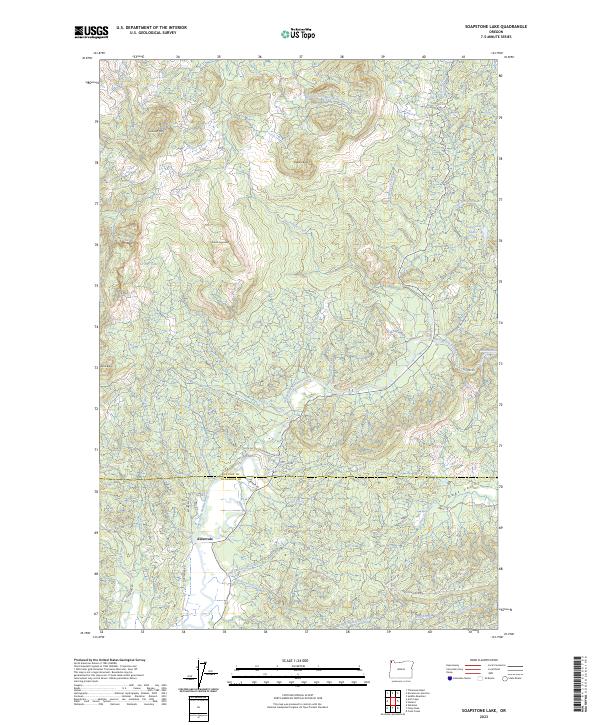
2023 Soapstone Lake
Clatsop County, OR
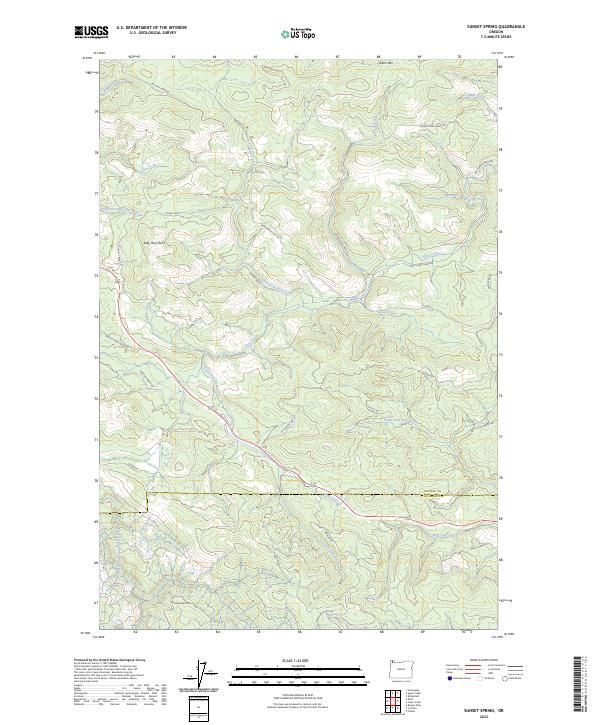
2023 Sunset Spring
Clatsop County, OR
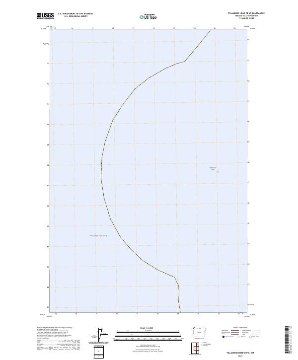
2023 Tillamook Head OE W
Clatsop County, OR
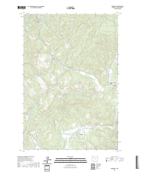
2023 Vinemaple
Clatsop County, OR
2023 Wickiup Mountain
Clatsop County, OR
2024 Arch Cape
Clatsop County, OR
2024 Cathlamet Bay
Clatsop County, OR
2024 Clatsop Spit
Clatsop County, OR
2024 Green Mountain
Clatsop County, OR
2024 Necanicum Junction
Clatsop County, OR
2024 Olney
Clatsop County, OR
2024 Sager Creek
Clatsop County, OR

2024 Tillamook Head
Clatsop County, OR