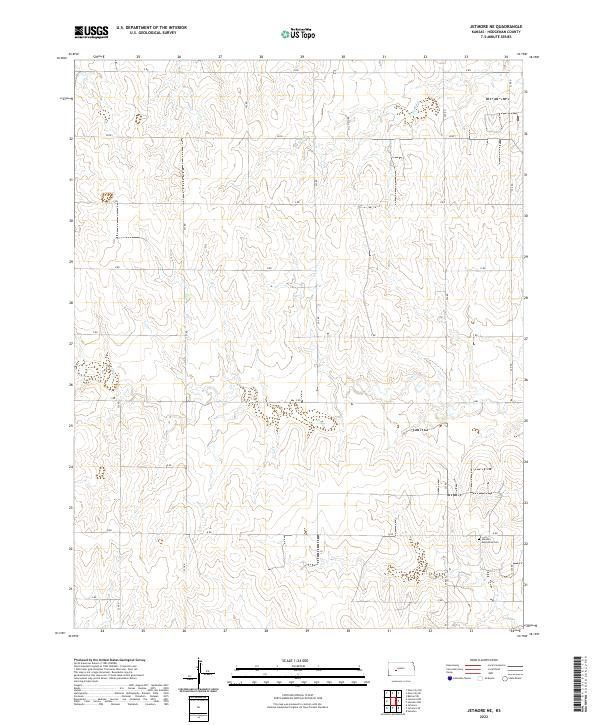
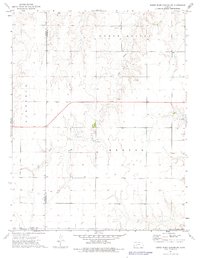
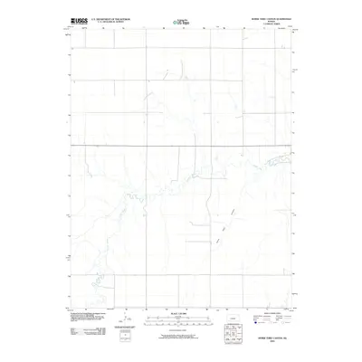
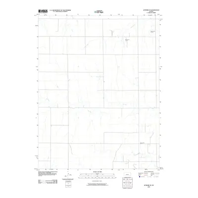
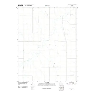
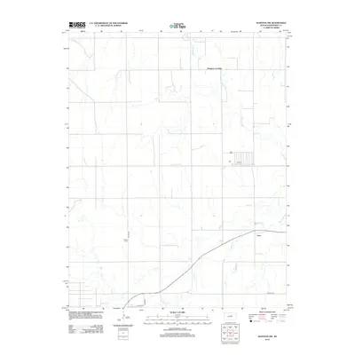
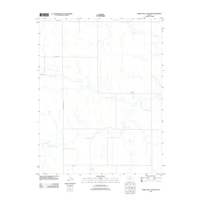
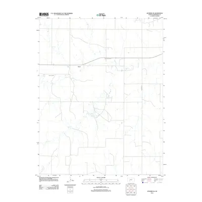
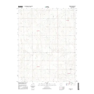
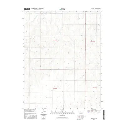
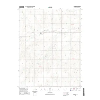
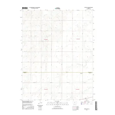
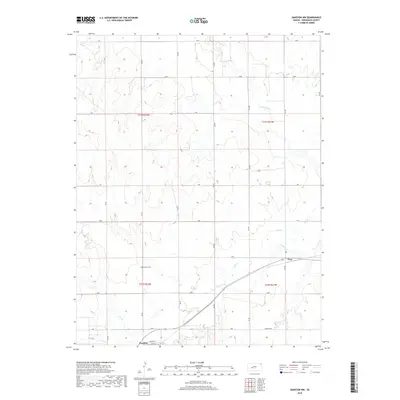
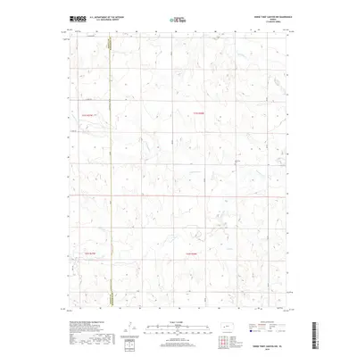
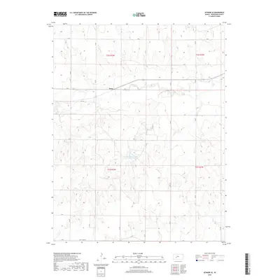
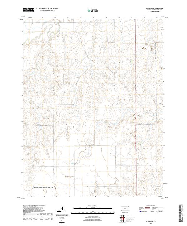
2022 Map of Jetmore NE
USGS Topo · Published 2022About this map
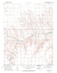
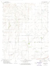
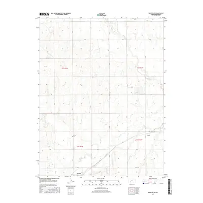
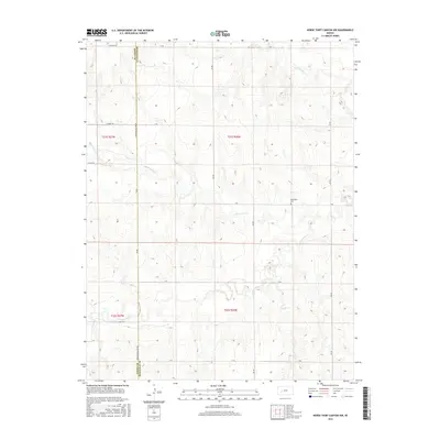
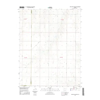
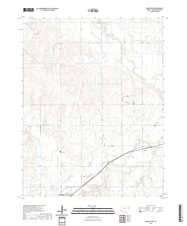
The Hanston Mennonite Cem serves as a prominent historical anchor in this section of Hodgeman County, marking the cultural and familial legacy of the local farming community. The landscape is defined by the gentle drainage patterns of Sand Cr in the northeast and Dry Cr further south, which cut through the high plains terrain. This 2022 survey illustrates a rigid, systematic grid of rural transit, where roads are identified simply by alphabetical markers such as X Rd, V Rd, and Q Rd. This nomenclature reflects the orderly township and range divisions of the Public Land Survey System, specifically within t21s r23w and surrounding sections. The concentration of these labeled section roads highlights the persistent agricultural structure of the region, where the placement of cemeteries and watercourses often dictated the earliest patterns of settlement and land use.
Find a feature on this map
16 named features on this map. Tap any name to fly to it.
Don’t see what you’re looking for? This feature index may not catch every label — zoom into the map to look around manually.
Map Details
Editions of this 2022 Jetmore NE Map
This is the sole edition of this map. No revisions or reprints were ever made.
Historical Maps of Hodgeman County Through Time
86 maps found

1892 Ness
Hodgeman County, KS
1894 Ness
Hodgeman County, KS
1968 Dodge City NE
Hodgeman County, KS

1968 Dodge City NW
Hodgeman County, KS
1970 Hanston NW
Hodgeman County, KS
1970 Horse Thief Canyon
Hodgeman County, KS
1970 Jetmore NE
Hodgeman County, KS

1970 Jetmore NW
Hodgeman County, KS
1970 Jetmore SE
Hodgeman County, KS
1972 Hanston SE
Hodgeman County, KS
1972 Offerle NW
Hodgeman County, KS
1972 Spearville NE
Hodgeman County, KS
1972 Spearville NW
Hodgeman County, KS
1974 Horse Thief Canyon NE
Hodgeman County, KS

1974 Horse Thief Canyon NW
Hodgeman County, KS
1974 Horse Thief Canyon SW
Hodgeman County, KS
2009 Dodge City NE
Hodgeman County, KS

2009 Dodge City NW
Hodgeman County, KS
2009 Hanston NW
Hodgeman County, KS
2009 Hanston SE
Hodgeman County, KS
2009 Horse Thief Canyon
Hodgeman County, KS
2009 Horse Thief Canyon NE
Hodgeman County, KS
2009 Horse Thief Canyon NW
Hodgeman County, KS
2009 Horse Thief Canyon SW
Hodgeman County, KS
2009 Jetmore NE
Hodgeman County, KS
2009 Jetmore NW
Hodgeman County, KS
2009 Jetmore SE
Hodgeman County, KS
2009 Offerle NW
Hodgeman County, KS
2009 Spearville NE
Hodgeman County, KS
2009 Spearville NW
Hodgeman County, KS
2012 Dodge City NE
Hodgeman County, KS
2012 Dodge City NW
Hodgeman County, KS
2012 Hanston NW
Hodgeman County, KS
2012 Hanston SE
Hodgeman County, KS
2012 Horse Thief Canyon
Hodgeman County, KS
2012 Horse Thief Canyon NE
Hodgeman County, KS
2012 Horse Thief Canyon NW
Hodgeman County, KS
2012 Horse Thief Canyon SW
Hodgeman County, KS
2012 Jetmore NE
Hodgeman County, KS
2012 Jetmore NW
Hodgeman County, KS
2012 Jetmore SE
Hodgeman County, KS
2012 Offerle NW
Hodgeman County, KS
2012 Spearville NE
Hodgeman County, KS
2012 Spearville NW
Hodgeman County, KS
2015 Hanston NW
Hodgeman County, KS
2015 Hanston SE
Hodgeman County, KS
2015 Horse Thief Canyon
Hodgeman County, KS
2015 Horse Thief Canyon NE
Hodgeman County, KS
2015 Horse Thief Canyon NW
Hodgeman County, KS
2015 Horse Thief Canyon SW
Hodgeman County, KS
2015 Jetmore NE
Hodgeman County, KS
2015 Jetmore NW
Hodgeman County, KS
2015 Jetmore SE
Hodgeman County, KS
2015 Spearville NW
Hodgeman County, KS
2016 Dodge City NE
Hodgeman County, KS
2016 Dodge City NW
Hodgeman County, KS
2016 Offerle NW
Hodgeman County, KS
2016 Spearville NE
Hodgeman County, KS
2018 Dodge City NE
Hodgeman County, KS
2018 Dodge City NW
Hodgeman County, KS
2018 Hanston NW
Hodgeman County, KS
2018 Hanston SE
Hodgeman County, KS
2018 Horse Thief Canyon
Hodgeman County, KS
2018 Horse Thief Canyon NE
Hodgeman County, KS
2018 Horse Thief Canyon NW
Hodgeman County, KS
2018 Horse Thief Canyon SW
Hodgeman County, KS
2018 Jetmore NE
Hodgeman County, KS
2018 Jetmore NW
Hodgeman County, KS
2018 Jetmore SE
Hodgeman County, KS
2018 Offerle NW
Hodgeman County, KS
2018 Spearville NE
Hodgeman County, KS
2018 Spearville NW
Hodgeman County, KS
2022 Dodge City NE
Hodgeman County, KS
2022 Dodge City NW
Hodgeman County, KS
2022 Hanston NW
Hodgeman County, KS
2022 Hanston SE
Hodgeman County, KS
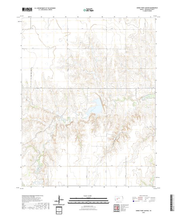
2022 Horse Thief Canyon
Hodgeman County, KS
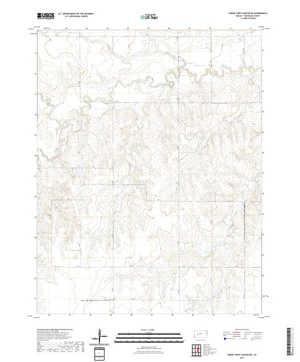
2022 Horse Thief Canyon NE
Hodgeman County, KS
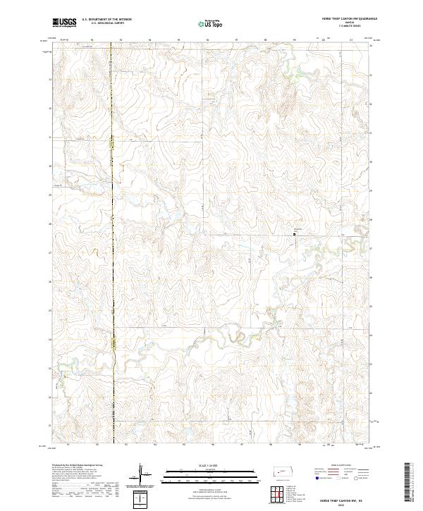
2022 Horse Thief Canyon NW
Hodgeman County, KS
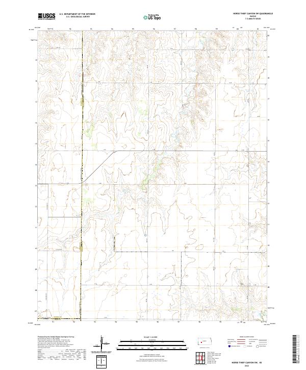
2022 Horse Thief Canyon SW
Hodgeman County, KS
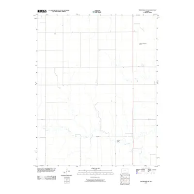
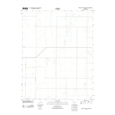
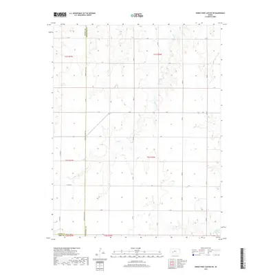
2022 Jetmore NE
Hodgeman County, KS
2022 Jetmore NW
Hodgeman County, KS
2022 Jetmore SE
Hodgeman County, KS
2022 Offerle NW
Hodgeman County, KS
2022 Spearville NE
Hodgeman County, KS
2022 Spearville NW
Hodgeman County, KS