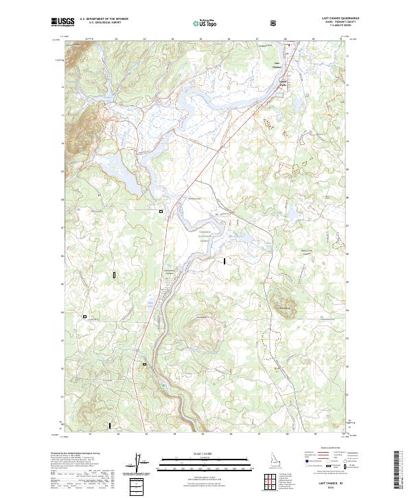
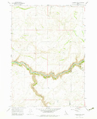
2024 Map of Last Chance
USGS Topo · Published 2024About this map
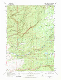
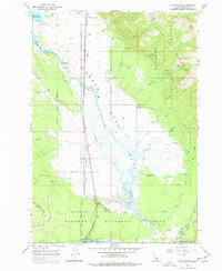
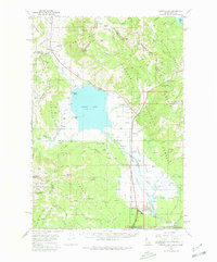
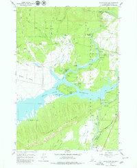
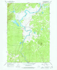
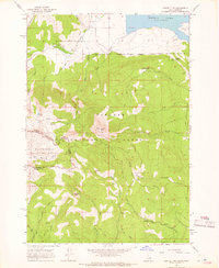
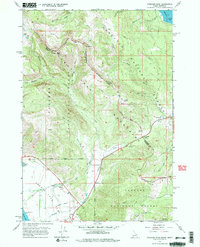
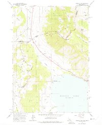
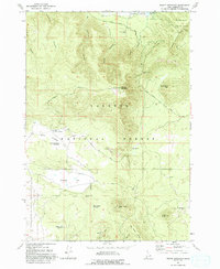
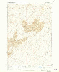
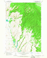
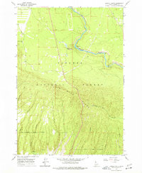
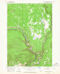
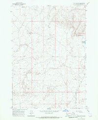
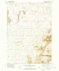
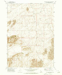
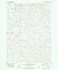
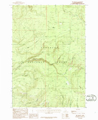
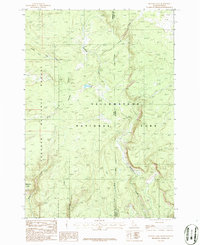
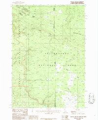
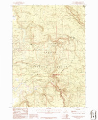
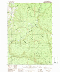
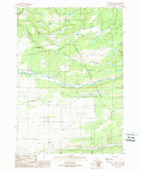
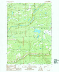
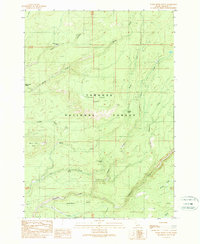
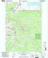
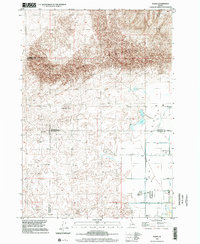
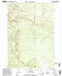
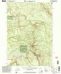
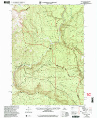
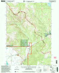
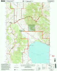
Island Park and the small community of Last Chance occupy a unique geological position within the massive Island Park Caldera. This volcanic landscape is defined by the winding course of Henry's Fork, which flows past landmarks like Swan Lake and through the Targhee National Forest. The map documents a complex network of forest access and recreation paths, including the Mesa Falls Scenic Byway and several family-named or ranch-related trails such as the Big Bend Loop Trl and Bing Lempke (North Gate) Trl.
Find a feature on this map
54 named features on this map. Tap any name to fly to it.
Don’t see what you’re looking for? This feature index may not catch every label — zoom into the map to look around manually.
Map Details
Editions of this 2024 Last Chance Map
This is the sole edition of this map. No revisions or reprints were ever made.
Historical Maps of Island Park Through Time
72 maps found
1950 St Anthony
Fremont County, ID
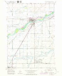
1951 Plano
Fremont County, ID
1957 Buffalo Lake
Fremont County, ID
1957 Warm River Butte
Fremont County, ID
1964 Big Springs
Fremont County, ID
1964 Dubois SE
Fremont County, ID
1964 Hatchery Butte
Fremont County, ID
1964 Henrys Lake
Fremont County, ID
1964 Island Park Dam
Fremont County, ID
1964 Last Chance
Fremont County, ID
1964 Sawtell PK
Fremont County, ID
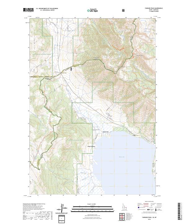
1964 Targhee Pass
Fremont County, ID
1964 Targhee Peak
Fremont County, ID
1965 Bishop Mountain
Fremont County, ID
1965 Black Knoll
Fremont County, ID
1965 Blue Creek Reservoir
Fremont County, ID
1965 Crystal Butte
Fremont County, ID
1965 Icehouse Creek
Fremont County, ID
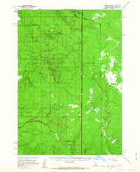
1965 Lemon Lake
Fremont County, ID
1965 Linderman Dam
Fremont County, ID
1965 Lookout Butte
Fremont County, ID
1965 Snake River Butte
Fremont County, ID
1965 Split Butte
Fremont County, ID
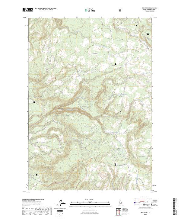
1972 Big Grassy Ridge
Fremont County, ID
1972 Big Grassy Ridge SE
Fremont County, ID
1972 Split Rock
Fremont County, ID
1986 Big Grassy
Fremont County, ID
1986 Buffalo Lake
Fremont County, ID
1986 Buffalo Lake NE
Fremont County, ID
1986 Latham Spring
Fremont County, ID
1986 Reas Pass
Fremont County, ID
1989 Porcupine Lake
Fremont County, ID
1989 Sheep Falls
Fremont County, ID
1989 Warm River Butte
Fremont County, ID
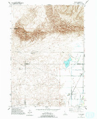
1997 Sawtell Peak
Fremont County, ID
1998 Plano
Fremont County, ID
2000 Buffalo Lake NE
Fremont County, ID
2000 Latham Spring
Fremont County, ID
2000 Reas Pass
Fremont County, ID
2000 Targhee Pass
Fremont County, ID
2000 Targhee Peak
Fremont County, ID
2023 Big Grassy
Fremont County, ID
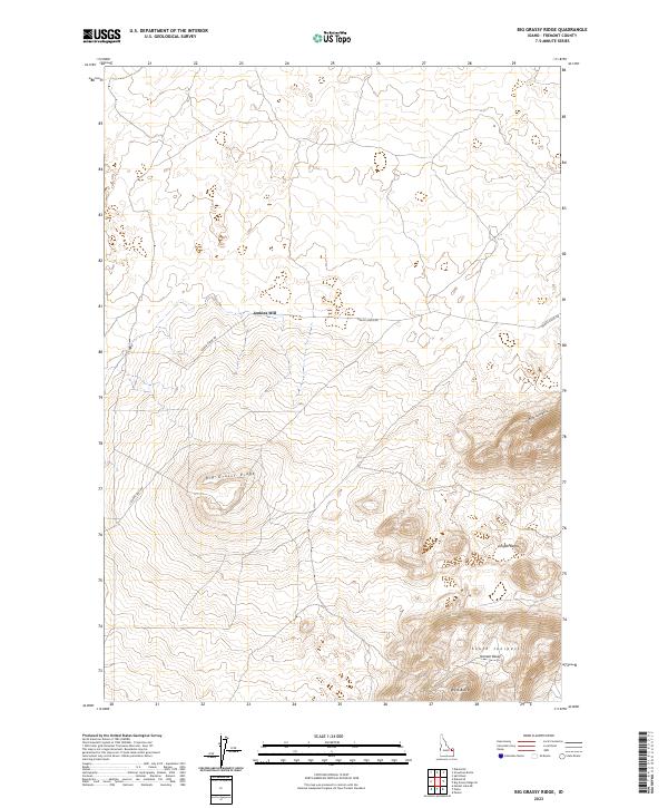
2023 Big Grassy Ridge
Fremont County, ID
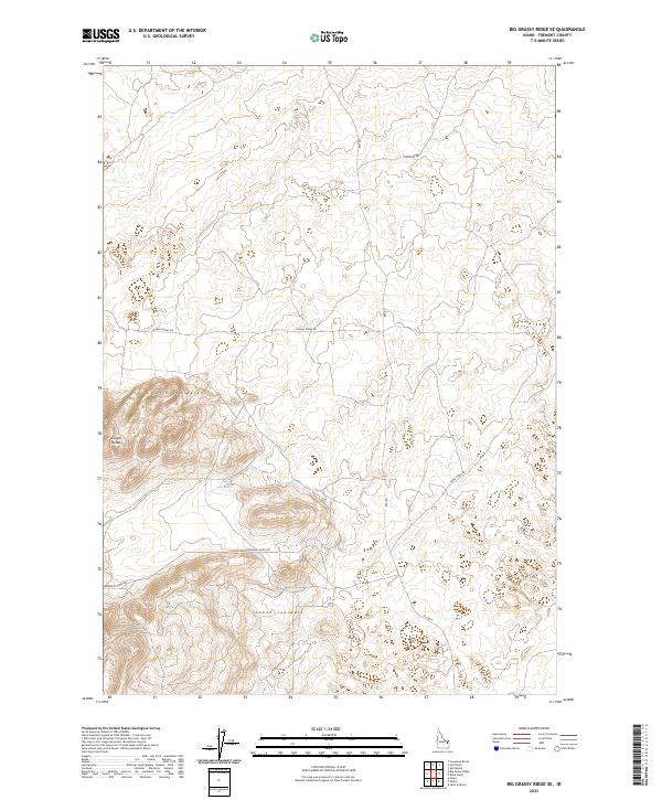
2023 Big Grassy Ridge SE
Fremont County, ID
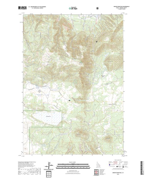
2023 Bishop Mountain
Fremont County, ID
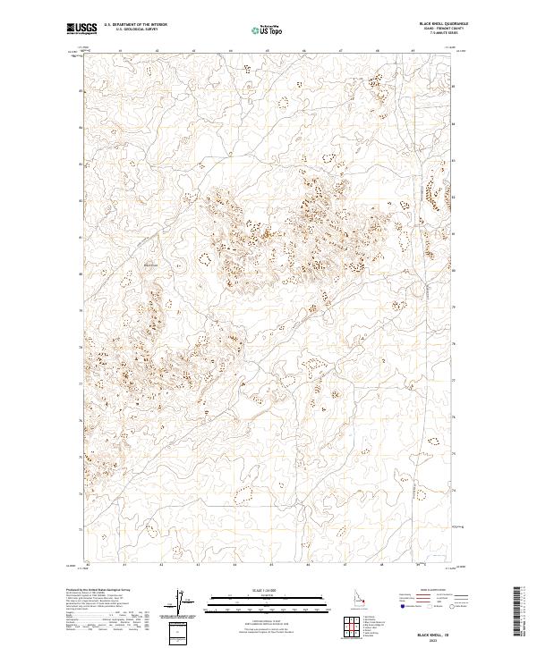
2023 Black Knoll
Fremont County, ID
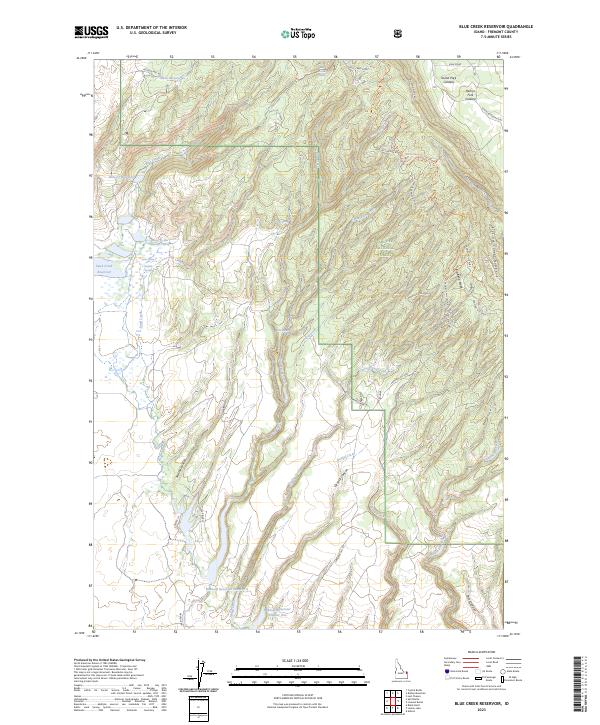
2023 Blue Creek Reservoir
Fremont County, ID
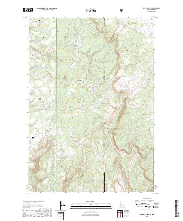
2023 Buffalo Lake
Fremont County, ID
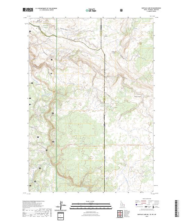
2023 Buffalo Lake NE
Fremont County, ID
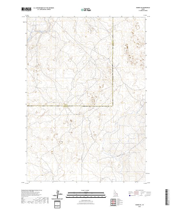
2023 Dubois SE
Fremont County, ID
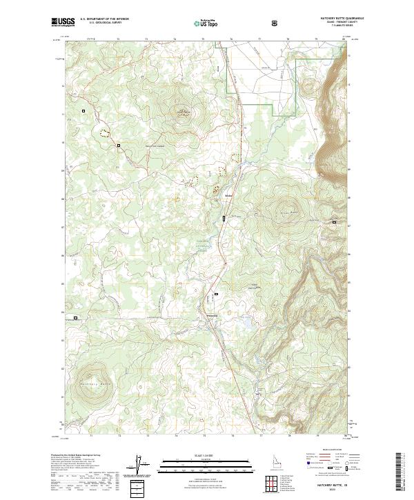
2023 Hatchery Butte
Fremont County, ID
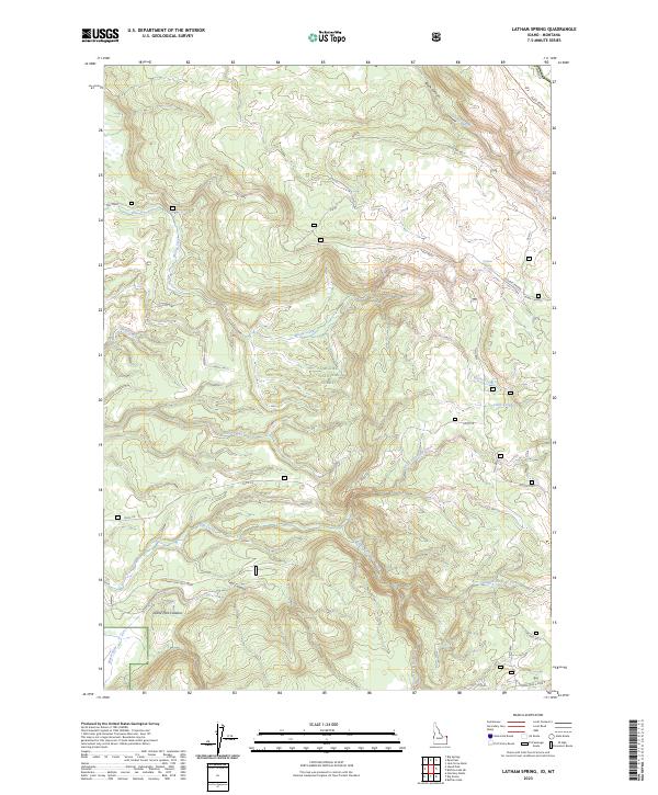
2023 Latham Spring
Fremont County, ID
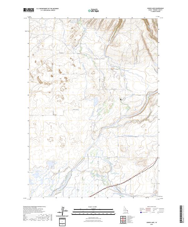
2023 Lemon Lake
Fremont County, ID
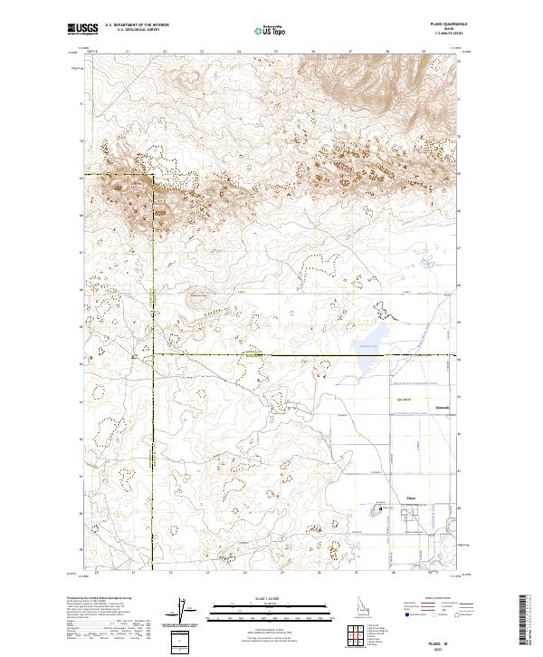
2023 Plano
Fremont County, ID
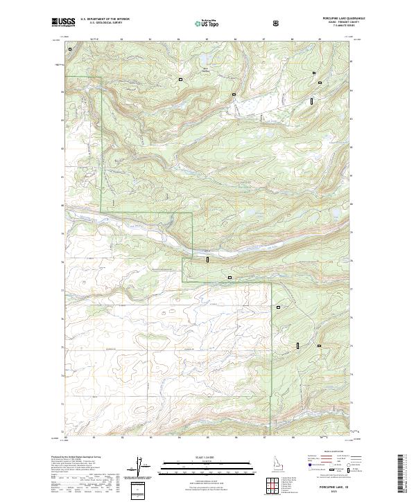
2023 Porcupine Lake
Fremont County, ID
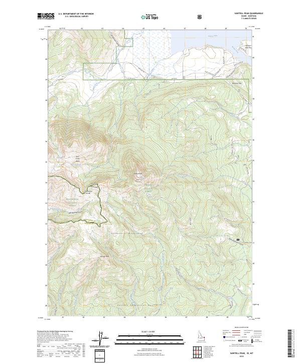
2023 Sawtell Peak
Fremont County, ID
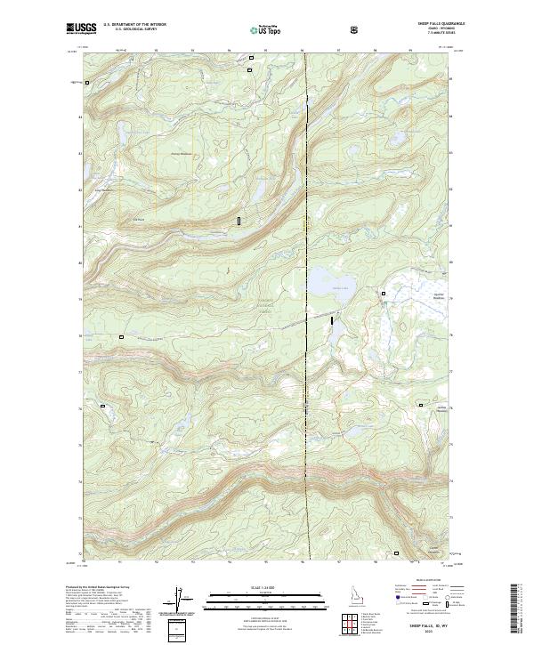
2023 Sheep Falls
Fremont County, ID
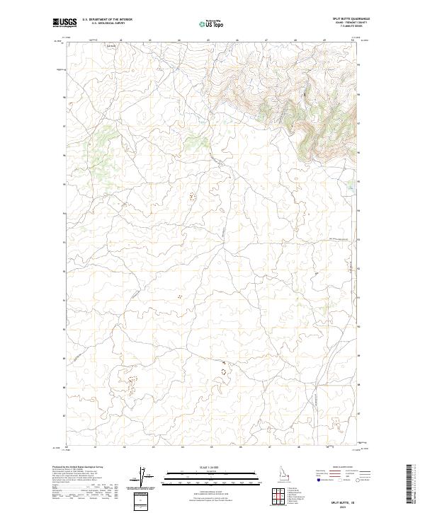
2023 Split Butte
Fremont County, ID
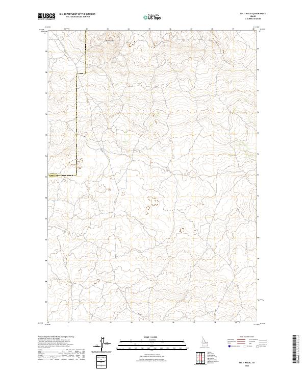
2023 Split Rock
Fremont County, ID
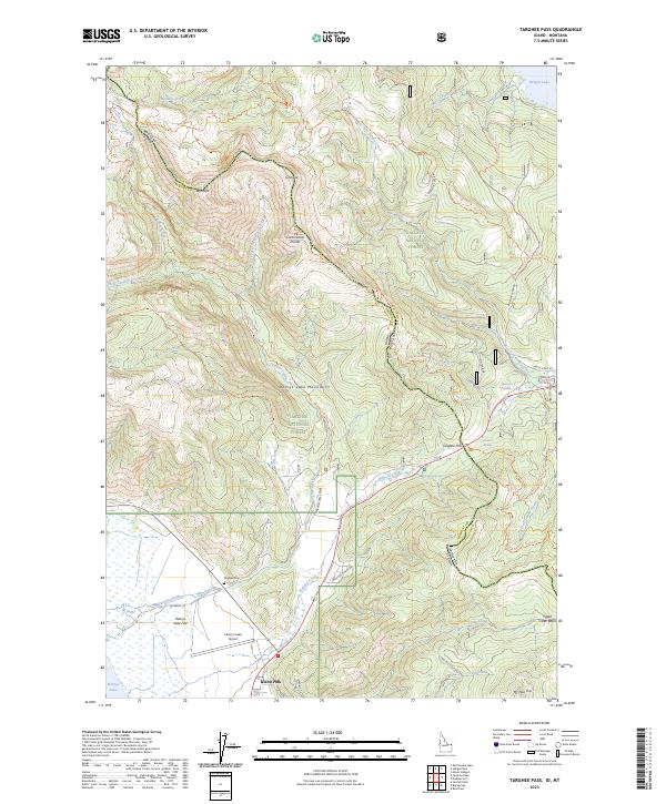
2023 Targhee Pass
Fremont County, ID
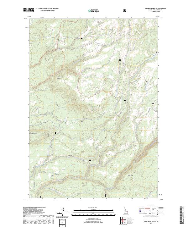
2023 Warm River Butte
Fremont County, ID
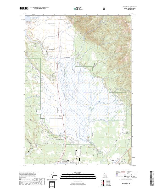
2024 Big Springs
Fremont County, ID
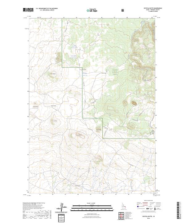
2024 Crystal Butte
Fremont County, ID
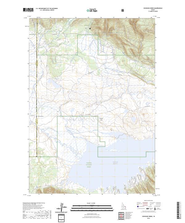
2024 Icehouse Creek
Fremont County, ID
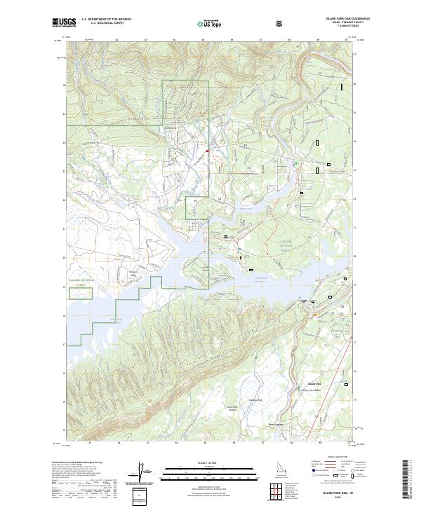
2024 Island Park Dam
Fremont County, ID
2024 Last Chance
Fremont County, ID
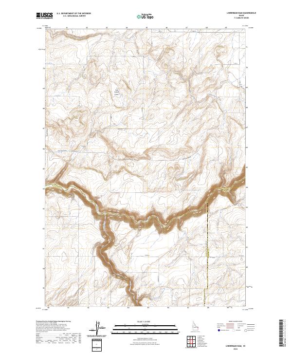
2024 Linderman Dam
Fremont County, ID
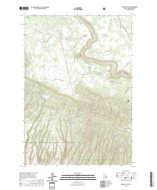
2024 Lookout Butte
Fremont County, ID
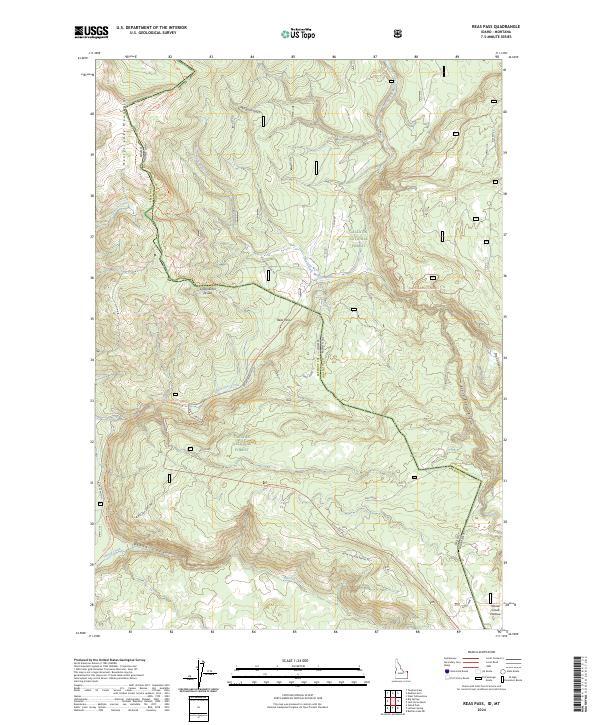
2024 Reas Pass
Fremont County, ID
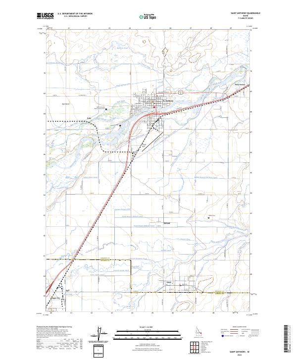
2024 Saint Anthony
Fremont County, ID
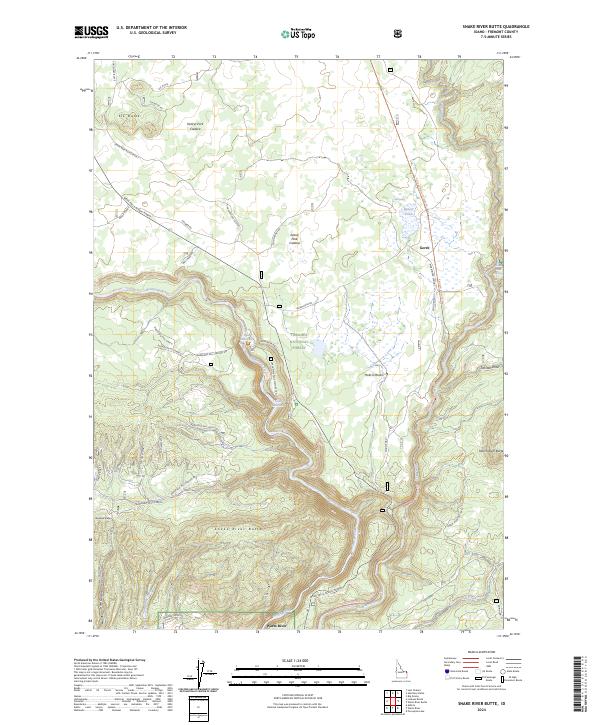
2024 Snake River Butte
Fremont County, ID
2024 Targhee Peak
Fremont County, ID