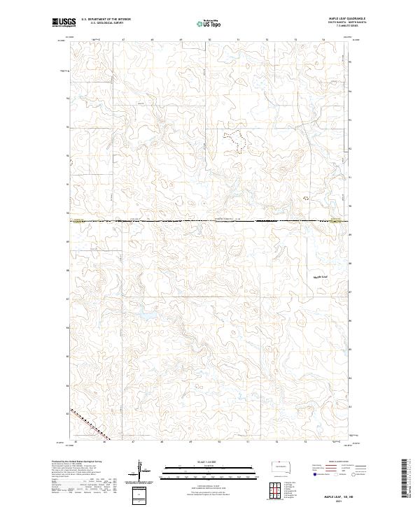
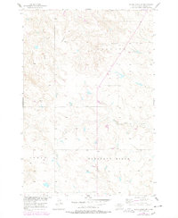
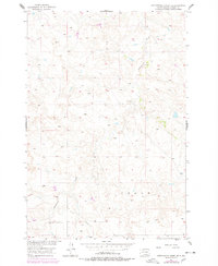
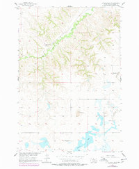
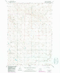
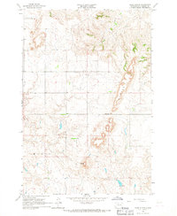
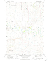
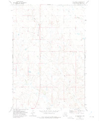
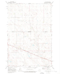
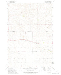
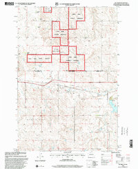
2021 Map of Maple Leaf
USGS Topo · Published 2021This historical map portrays the area of Maple Leaf in 2021, primarily covering Corson County as well as portions of North Dakota. Featuring a scale of 1:24000, this map provides a highly detailed snapshot of the terrain, roads, buildings, counties, and historical landmarks in the Maple Leaf region at the time. Published in 2021, it is the sole known edition of this map.
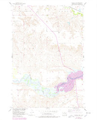
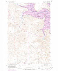
Map Details
Editions of this 2021 Maple Leaf Map
This is the sole edition of this map. No revisions or reprints were ever made.
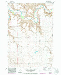
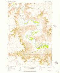
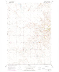
Historical Maps of Sioux County Through Time
91 maps found
1956 Black Horse
Corson County, SD
1956 Black Horse NE
Corson County, SD
1956 Black Horse SE
Corson County, SD
1956 Black Horse SW
Corson County, SD
1956 Bullhead SW
Corson County, SD
1956 Cottonwood Creek NE
Corson County, SD
1956 Cottonwood Creek NW
Corson County, SD
1956 Cottonwood Creek SE
Corson County, SD
1956 Cottonwood Creek SW
Corson County, SD
1956 Little Eagle NW
Corson County, SD
1956 Little Eagle SE
Corson County, SD
1956 Little Eagle SW
Corson County, SD
1956 Miscol
Corson County, SD
1956 Miscol NE
Corson County, SD
1956 Miscol SE
Corson County, SD
1956 Miscol SW
Corson County, SD
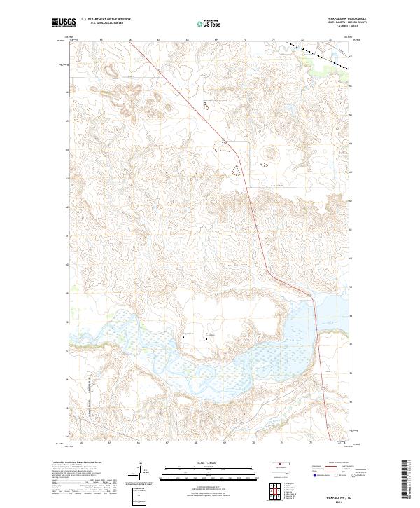
1956 Wakpala NW
Corson County, SD
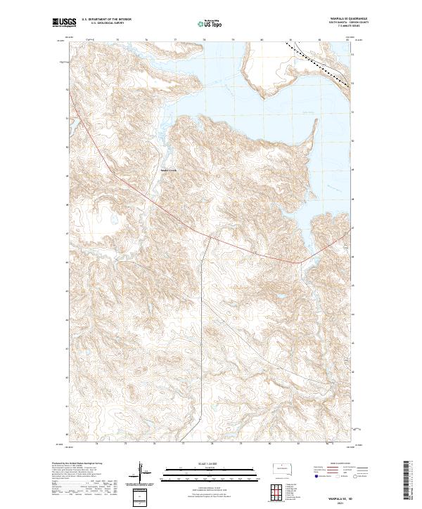
1956 Wakpala SE
Corson County, SD
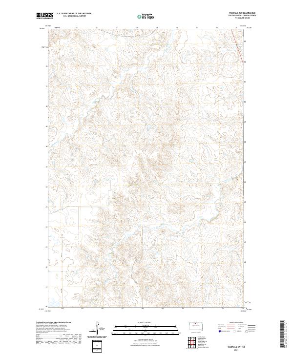
1956 Wakpala SW
Corson County, SD
1966 Kline Buttes
Corson County, SD

1966 Mahto
Corson County, SD
1966 Mahto NE
Corson County, SD

1966 Mahto NW
Corson County, SD

1966 McLaughlin NE
Corson County, SD
1967 Mobridge NW
Corson County, SD

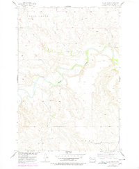
1971 Maple Leaf
Corson County, SD

1971 McLaughlin SW
Corson County, SD
1972 Black Horse Butte
Corson County, SD
1972 Black Horse Butte NE
Corson County, SD
1972 Black Horse Butte NW
Corson County, SD
1972 Hump Butte
Corson County, SD
1972 Keldron
Corson County, SD
1972 McIntosh SE
Corson County, SD
1972 McIntosh SW
Corson County, SD
1972 Morristown SE
Corson County, SD
1972 Skull Butte
Corson County, SD
1972 Tatanka Lake
Corson County, SD

1972 Thunder Hawk
Corson County, SD
1972 Thunder Hawk SE
Corson County, SD
1972 Thunder Hawk SW
Corson County, SD
1972 Twin Butte
Corson County, SD
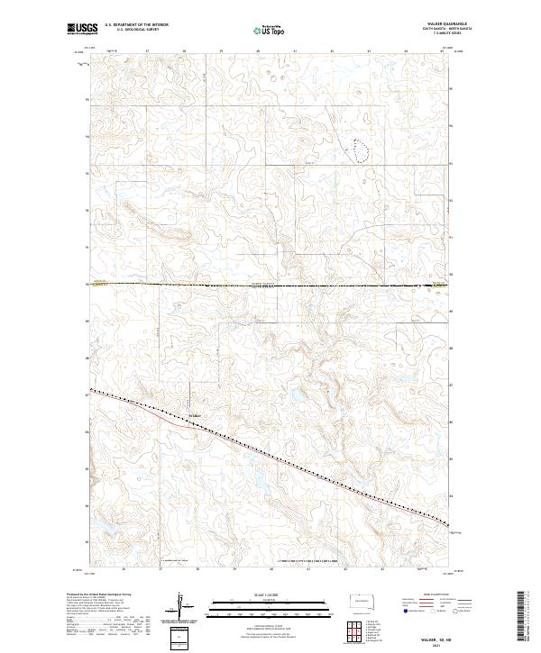
1972 Walker
Corson County, SD
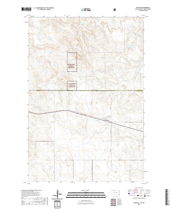
1972 Watauga
Corson County, SD
1998 Black Horse Butte
Corson County, SD
1998 Black Horse Butte NW
Corson County, SD
1998 Keldron
Corson County, SD
1998 Twin Butte
Corson County, SD
1998 Watauga
Corson County, SD
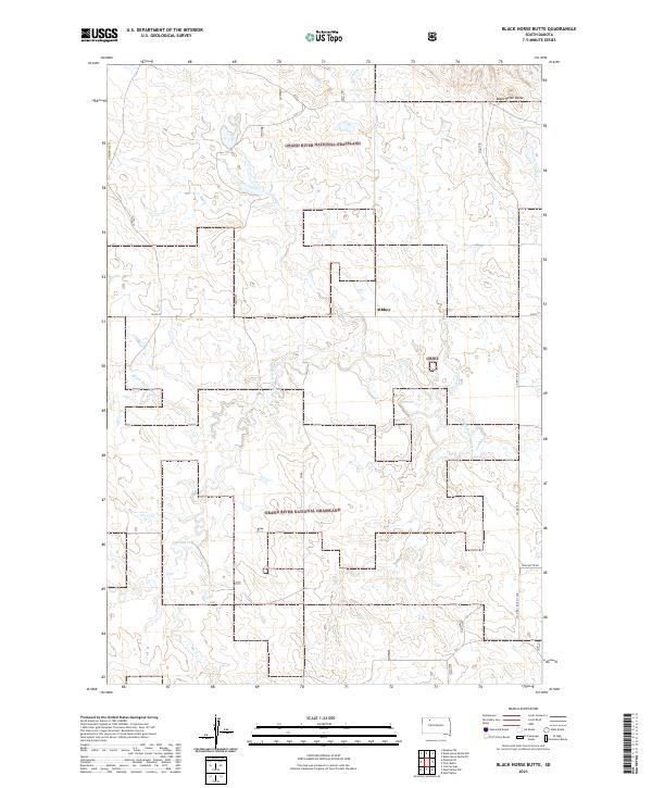
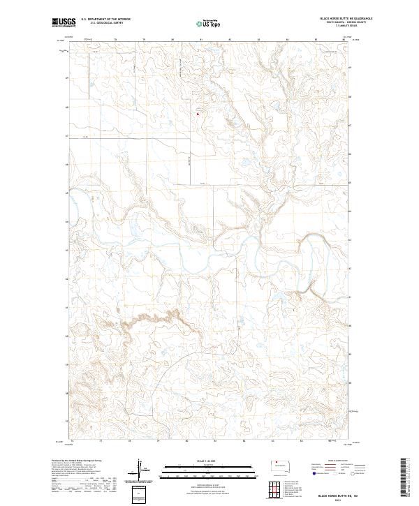
2021 Black Horse Butte
Corson County, SD
2021 Black Horse Butte NE
Corson County, SD
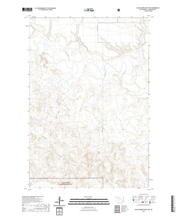
2021 Black Horse Butte NW
Corson County, SD
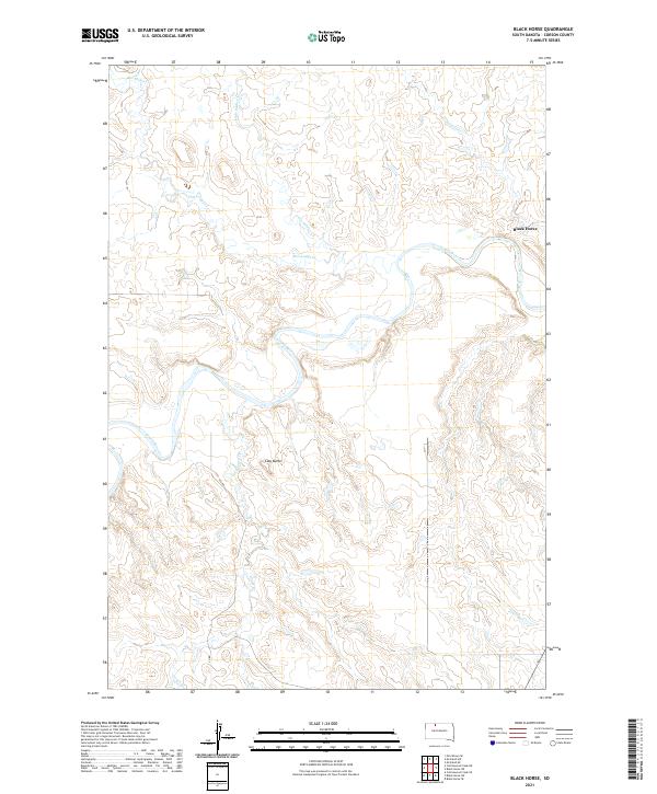
2021 Black Horse
Corson County, SD
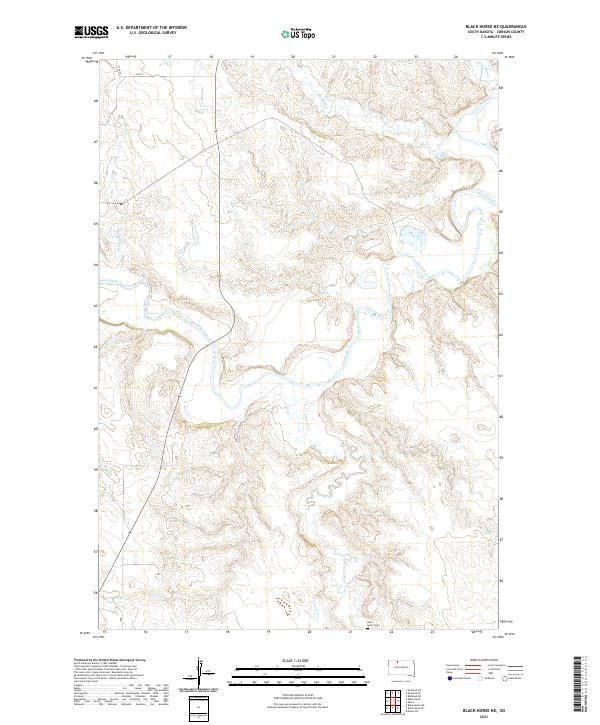
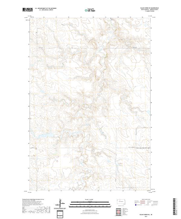
2021 Black Horse NE
Corson County, SD
2021 Black Horse SE
Corson County, SD
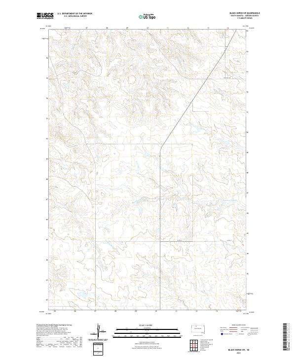
2021 Black Horse SW
Corson County, SD
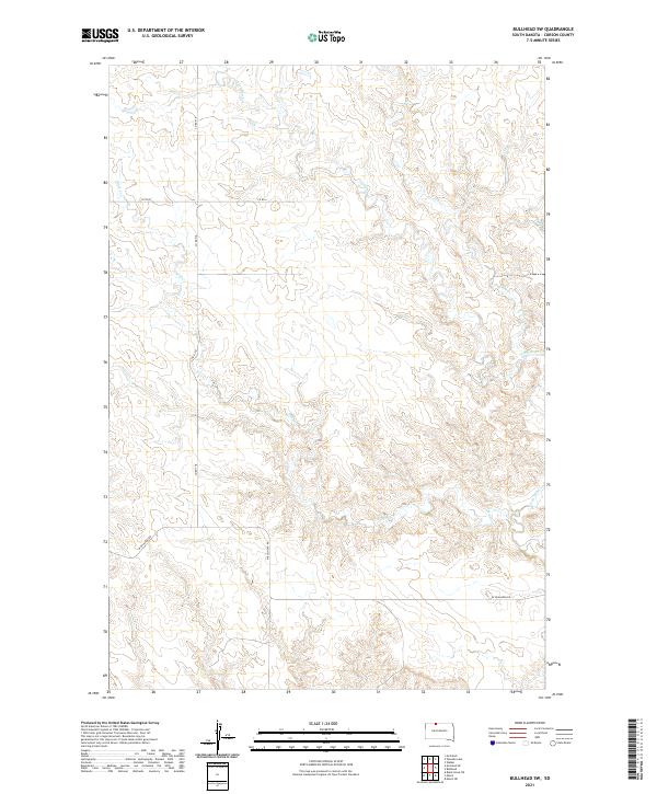
2021 Bullhead SW
Corson County, SD
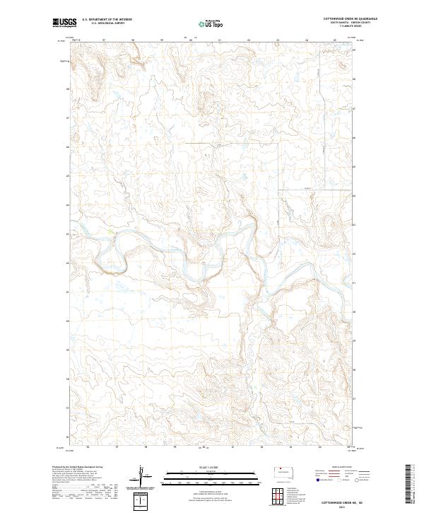
2021 Cottonwood Creek NE
Corson County, SD
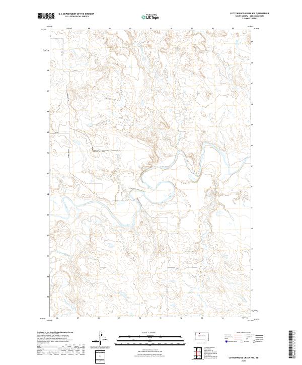
2021 Cottonwood Creek NW
Corson County, SD
2021 Cottonwood Creek SE
Corson County, SD
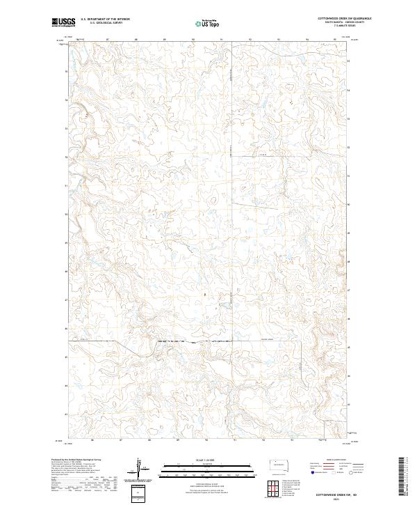
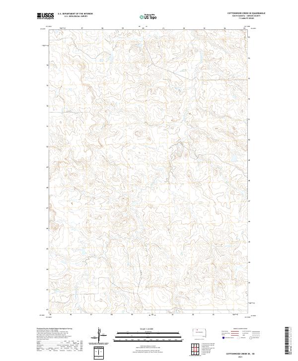
2021 Cottonwood Creek SW
Corson County, SD
2021 Hump Butte
Corson County, SD
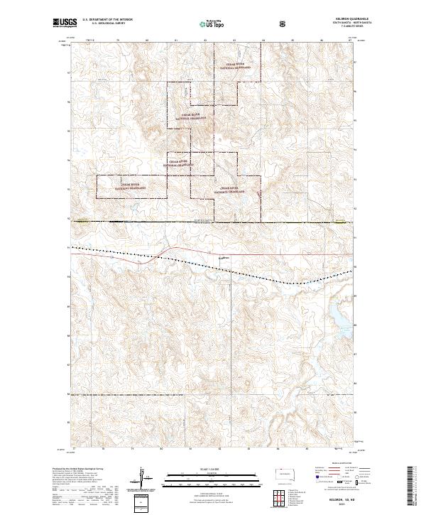
2021 Keldron
Corson County, SD
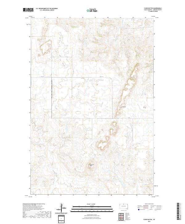
2021 Kline Buttes
Corson County, SD
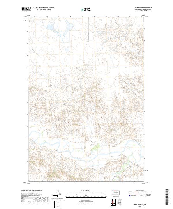
2021 Little Eagle NW
Corson County, SD
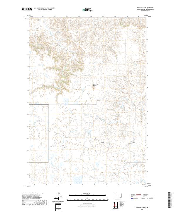
2021 Little Eagle SE
Corson County, SD
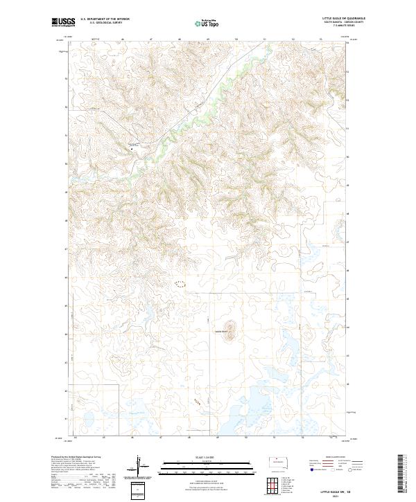
2021 Little Eagle SW
Corson County, SD
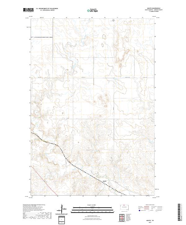
2021 Mahto
Corson County, SD
2021 Mahto NE
Corson County, SD
2021 Mahto NW
Corson County, SD
2021 Maple Leaf
Corson County, SD
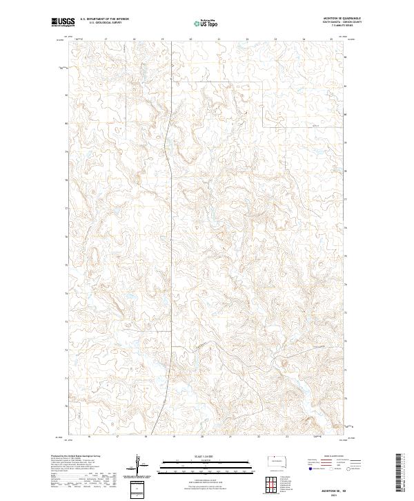
2021 McIntosh SE
Corson County, SD
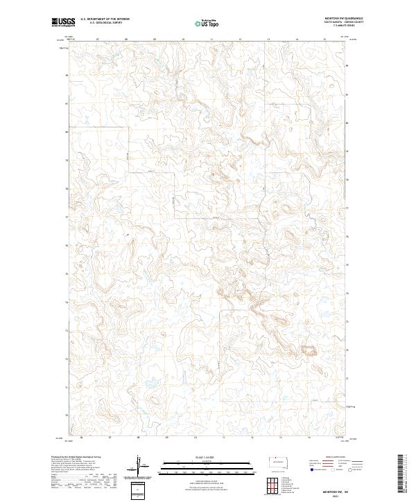
2021 McIntosh SW
Corson County, SD
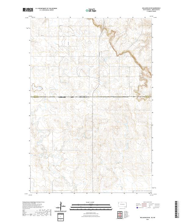
2021 McLaughlin NE
Corson County, SD
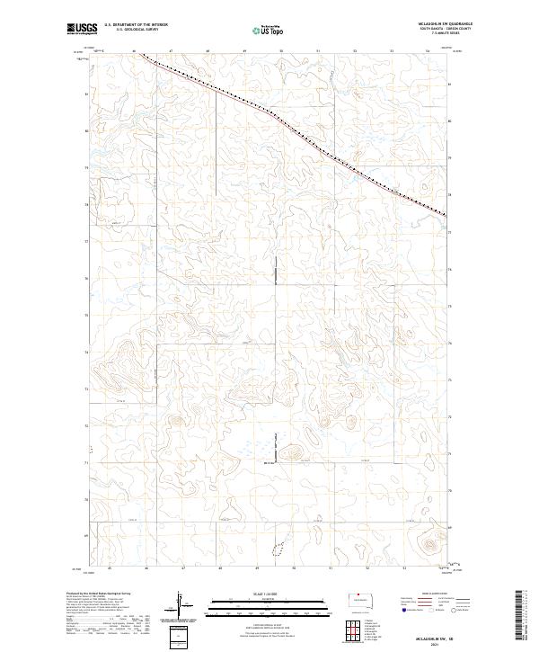
2021 McLaughlin SW
Corson County, SD
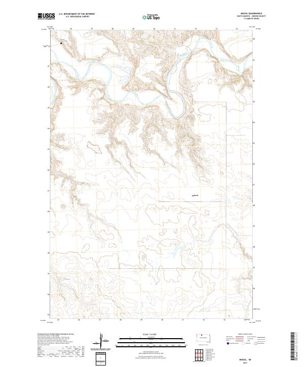
2021 Miscol
Corson County, SD
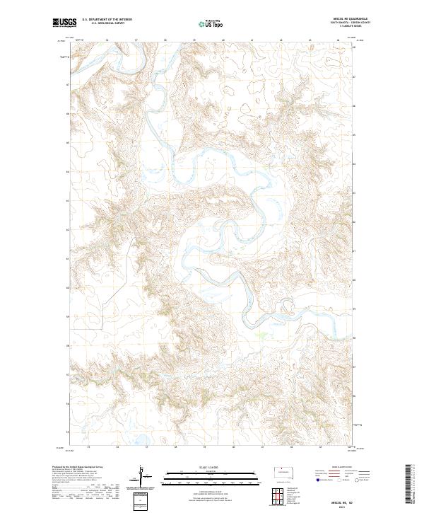
2021 Miscol NE
Corson County, SD
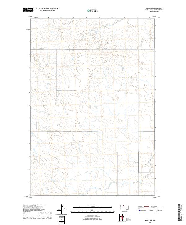
2021 Miscol SE
Corson County, SD
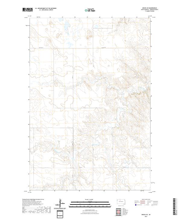
2021 Miscol SW
Corson County, SD
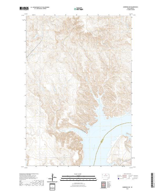
2021 Mobridge NW
Corson County, SD
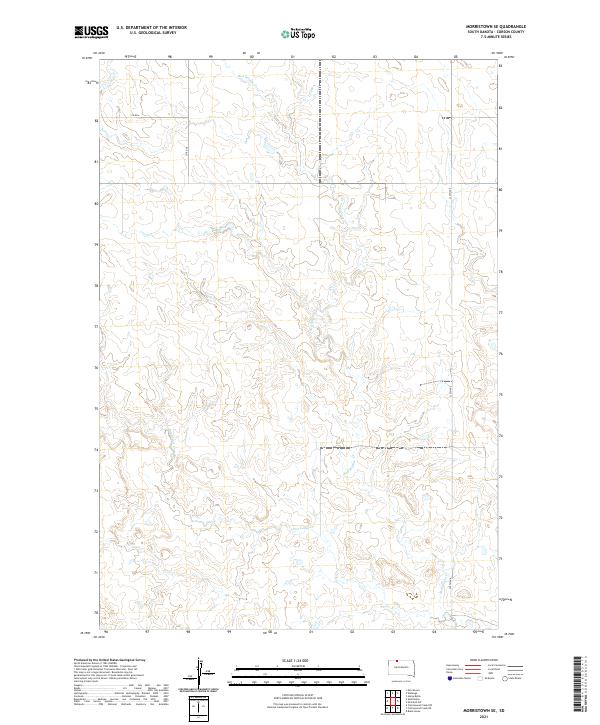
2021 Morristown SE
Corson County, SD
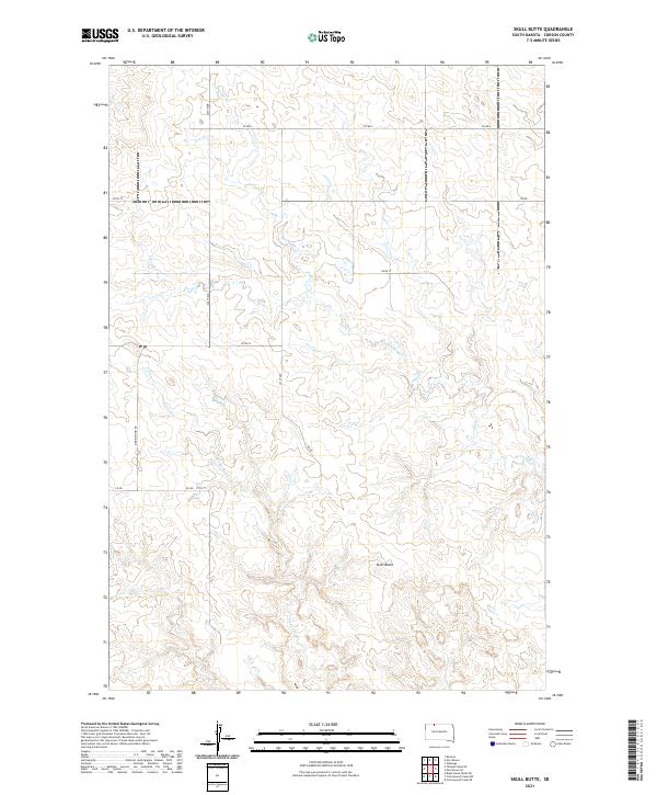
2021 Skull Butte
Corson County, SD
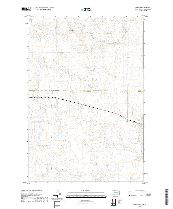
2021 Tatanka Lake
Corson County, SD
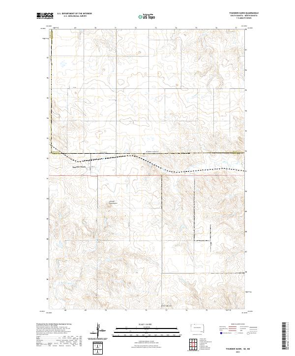
2021 Thunder Hawk
Corson County, SD
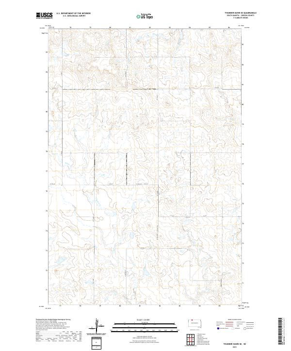
2021 Thunder Hawk SE
Corson County, SD
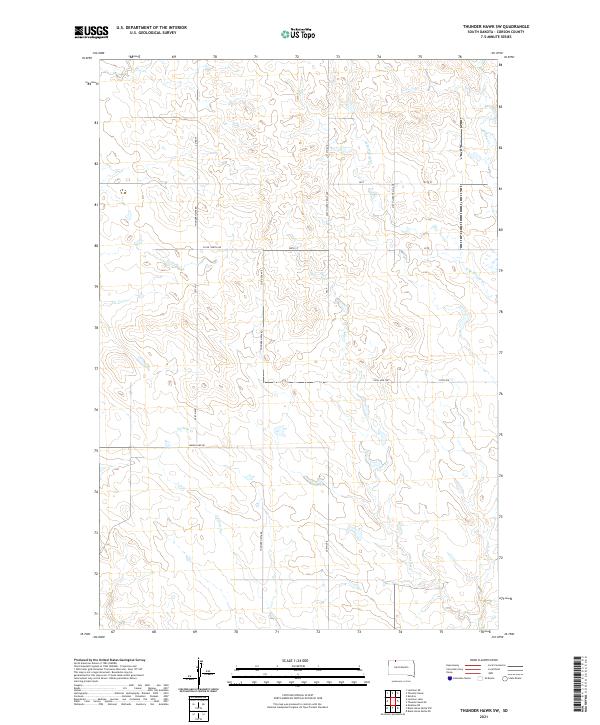
2021 Thunder Hawk SW
Corson County, SD
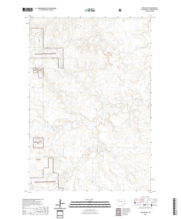
2021 Twin Butte
Corson County, SD
2021 Wakpala NW
Corson County, SD
2021 Wakpala SE
Corson County, SD
2021 Wakpala SW
Corson County, SD
2021 Walker
Corson County, SD
2021 Watauga
Corson County, SD
Featured Locations
- Rock Creek District, SD
- McLaughlin, SD
- Fort Yates District, ND
- Porcupine District, ND
- Maple Leaf, McLaughlin