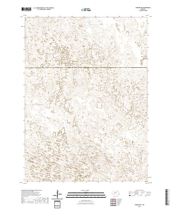
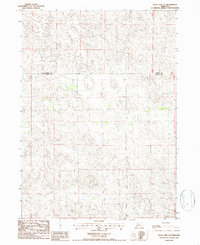
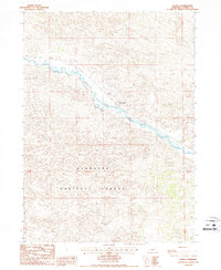
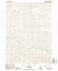
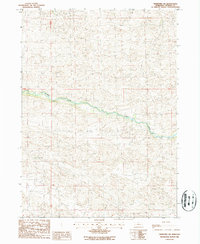
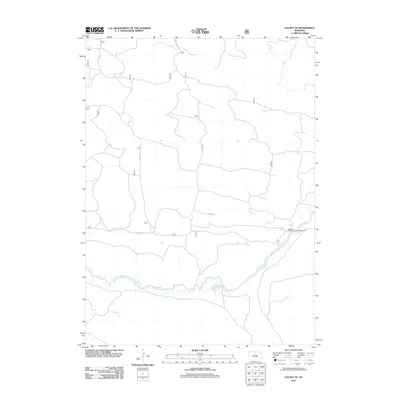
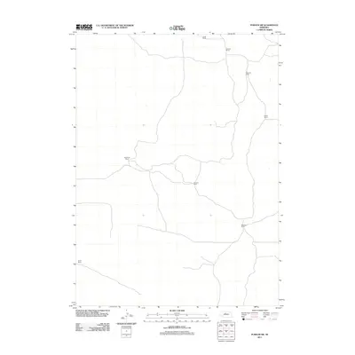
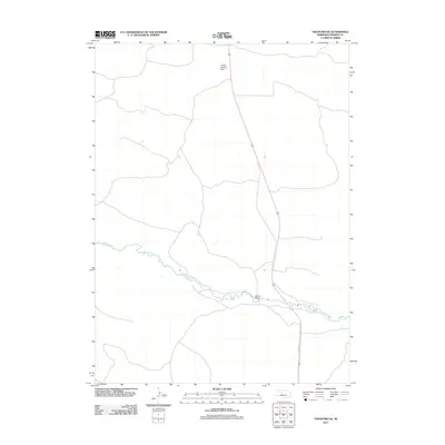
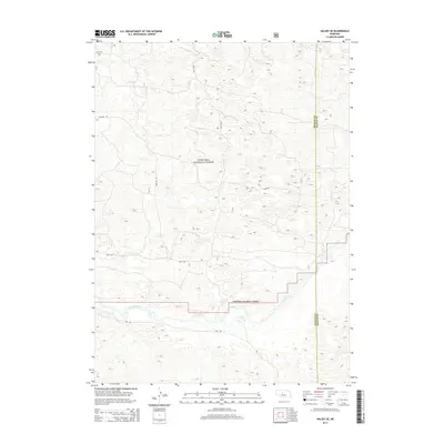
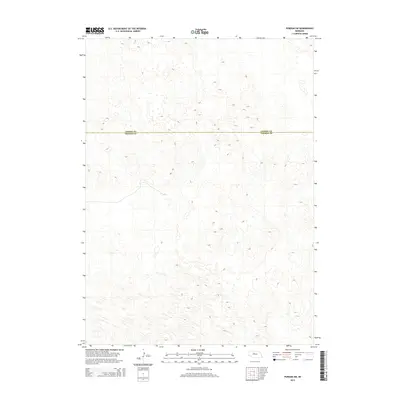
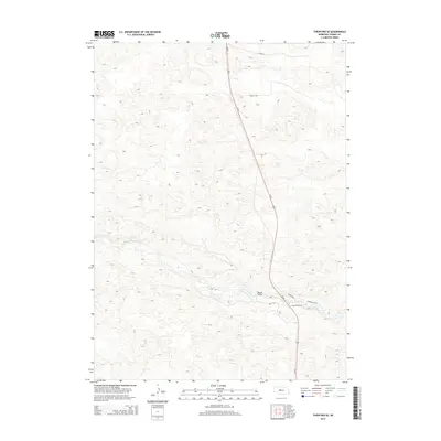
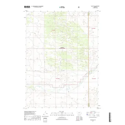
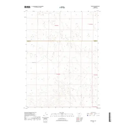
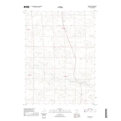
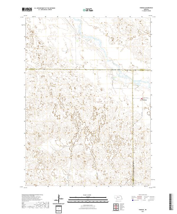
2021 Map of Purdum SW
USGS Topo · Published 2021About this map
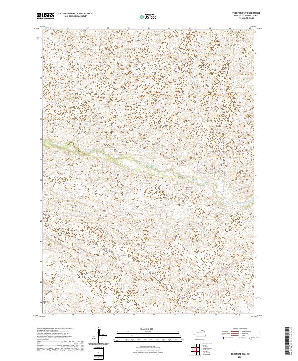
The county line between Cherry Co and Thomas Co bisects this section of the Nebraska Sandhills. The landscape is defined by the Public Land Survey System grid, specifically sections within t25n r27w, t25n r26w, t24n r27w, and t24n r26w. Human infrastructure is sparse in this undulating terrain, primarily represented by the presence of E Antelope Valley Rd, which provides access through the northern Thomas County area. This survey reveals a landscape largely dedicated to ranching and open range, where the lack of traditional settlements highlights the vast, unpopulated nature of the high plains in the early twenty-first century.
Find a feature on this map
7 named features on this map. Tap any name to fly to it.
Don’t see what you’re looking for? This feature index may not catch every label — zoom into the map to look around manually.
Map Details
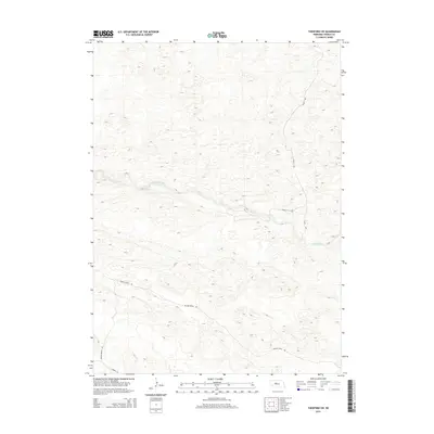
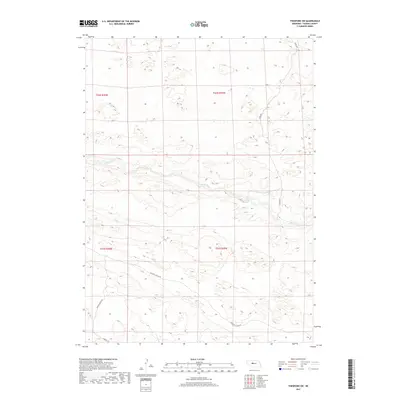
Editions of this 2021 Purdum SW Map
This is the sole edition of this map. No revisions or reprints were ever made.
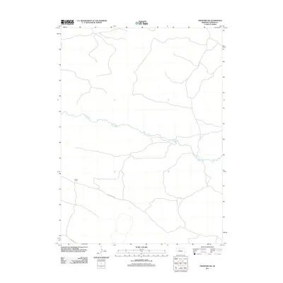
Historical Maps of Cherry County Through Time
61 maps found
1985 Dismal River
Thomas County, NE
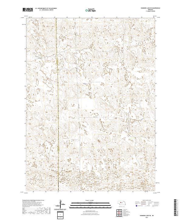
1985 Shimmins Lake NE
Thomas County, NE
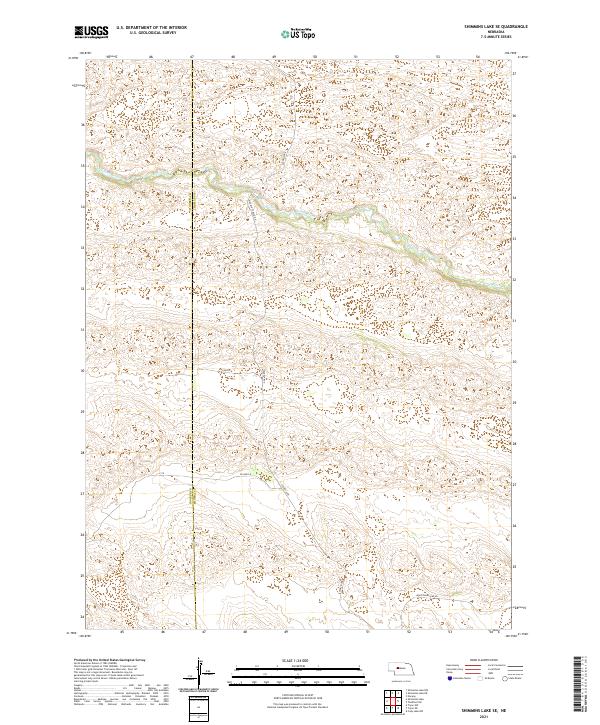
1985 Shimmins Lake SE
Thomas County, NE
1986 Duck Lake SE
Thomas County, NE
1986 Duck Lake SW
Thomas County, NE
1986 Halsey SE
Thomas County, NE
1986 Halsey SW
Thomas County, NE
1986 Natick
Thomas County, NE
1986 Norway
Thomas County, NE
1986 Purdum SW
Thomas County, NE
1986 Purdum
Thomas County, NE
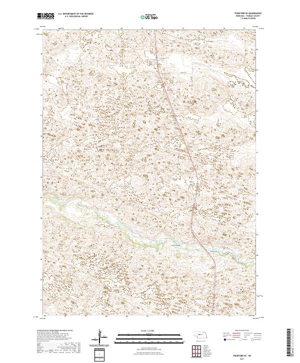
1986 Thedford SE
Thomas County, NE
1986 Thedford SW
Thomas County, NE
2011 Duck Lake SE
Thomas County, NE
2011 Duck Lake SW
Thomas County, NE
2011 Halsey SE
Thomas County, NE
2011 Halsey SW
Thomas County, NE
2011 Natick
Thomas County, NE
2011 Norway
Thomas County, NE
2011 Purdum SW
Thomas County, NE
2011 Purdum
Thomas County, NE
2011 Shimmins Lake NE
Thomas County, NE
2011 Shimmins Lake SE
Thomas County, NE
2011 Thedford SE
Thomas County, NE
2011 Thedford SW
Thomas County, NE
2014 Duck Lake SE
Thomas County, NE
2014 Duck Lake SW
Thomas County, NE
2014 Halsey SE
Thomas County, NE
2014 Halsey SW
Thomas County, NE
2014 Natick
Thomas County, NE
2014 Norway
Thomas County, NE
2014 Purdum SW
Thomas County, NE
2014 Purdum
Thomas County, NE
2014 Shimmins Lake NE
Thomas County, NE
2014 Shimmins Lake SE
Thomas County, NE
2014 Thedford SE
Thomas County, NE
2014 Thedford SW
Thomas County, NE
2017 Duck Lake SE
Thomas County, NE
2017 Duck Lake SW
Thomas County, NE
2017 Halsey SE
Thomas County, NE
2017 Halsey SW
Thomas County, NE
2017 Natick
Thomas County, NE
2017 Norway
Thomas County, NE
2017 Purdum SW
Thomas County, NE
2017 Purdum
Thomas County, NE
2017 Shimmins Lake NE
Thomas County, NE
2017 Shimmins Lake SE
Thomas County, NE
2017 Thedford SE
Thomas County, NE
2017 Thedford SW
Thomas County, NE
2021 Duck Lake SE
Thomas County, NE
2021 Duck Lake SW
Thomas County, NE
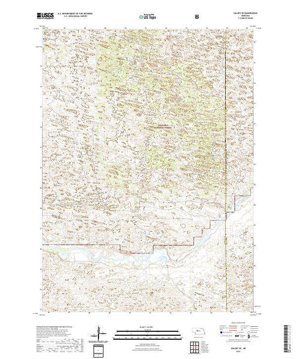
2021 Halsey SE
Thomas County, NE
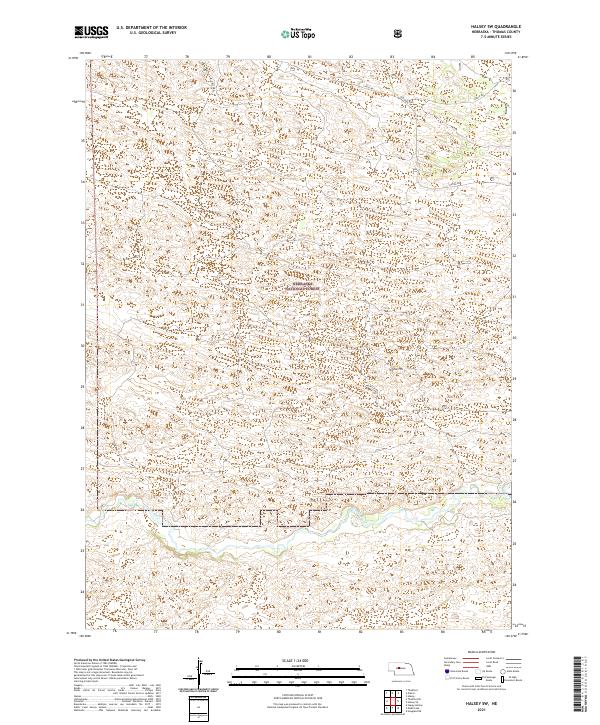
2021 Halsey SW
Thomas County, NE
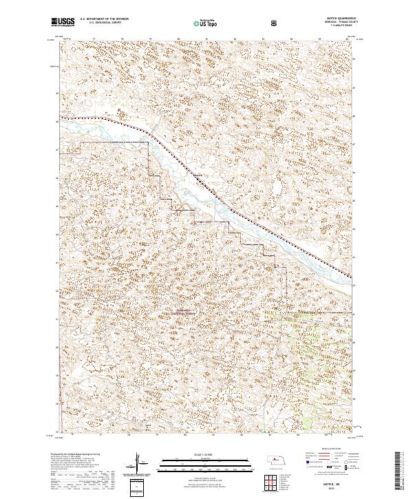
2021 Natick
Thomas County, NE
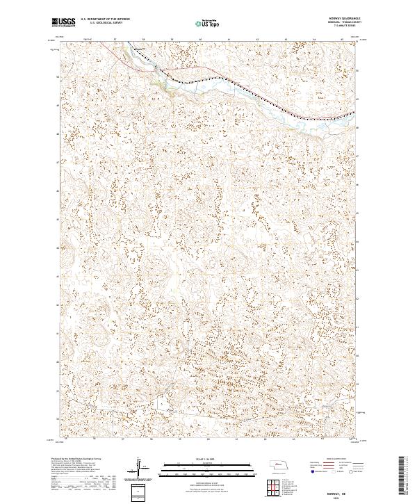
2021 Norway
Thomas County, NE
2021 Purdum SW
Thomas County, NE
2021 Purdum
Thomas County, NE
2021 Shimmins Lake NE
Thomas County, NE
2021 Shimmins Lake SE
Thomas County, NE
2021 Thedford SE
Thomas County, NE
2021 Thedford SW
Thomas County, NE