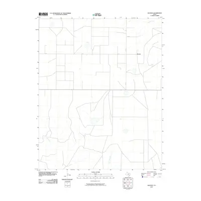
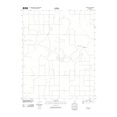
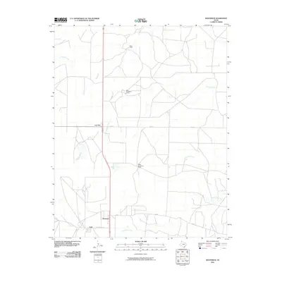
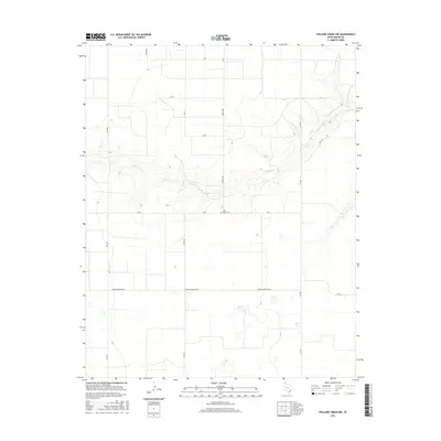
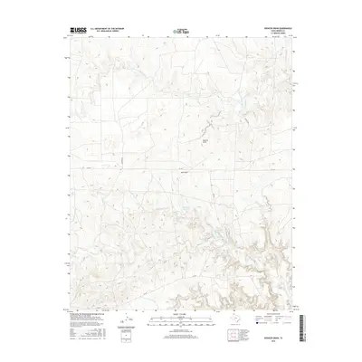
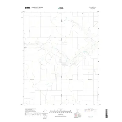
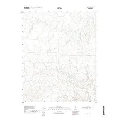
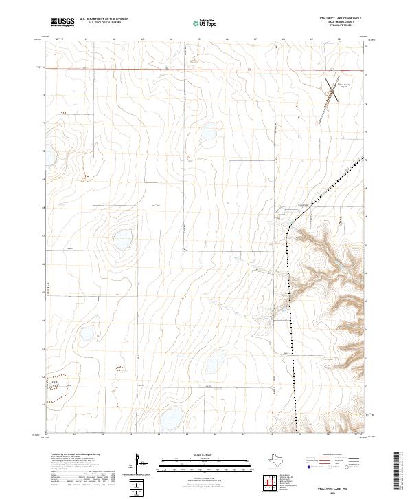
2022 Map of Stallwitz Lake NE
USGS Topo · Published 2022About this map
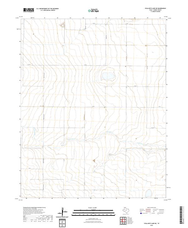
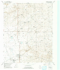
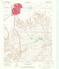
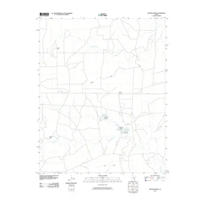
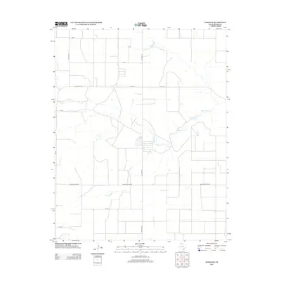
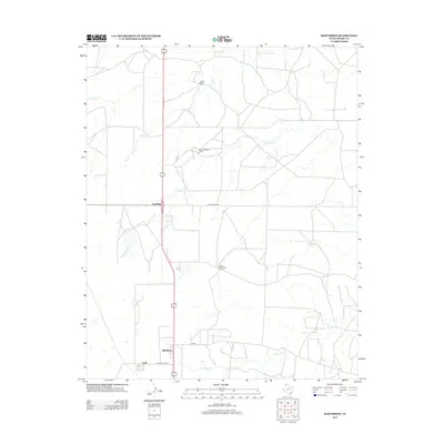
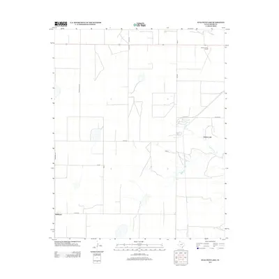
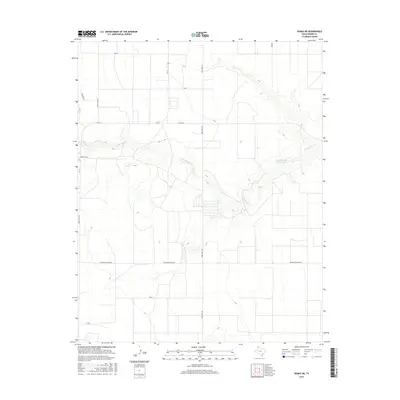
The northern Panhandle plains are defined here by the winding course of S Palo Duro Cr, which cuts through the high Moore County tableland. This 2022 survey captures a rural landscape where traditional ranching and farming divisions remain clearly delineated by an extensive network of local roads. These thoroughfares, including Buddy Kline Rd and Starkey Rd, track across the open terrain, connecting isolated homesteads and industrial points. The topographical layout emphasizes the subtle drainage patterns of the region, where seasonal water flow and localized basins interrupt the broad, flat expanses between Miles Rd and Perry Rd. It is a portrait of modern Texas land use, showing how the grid of local infrastructure adapts to the natural carved-out pathway of the creek.
Find a feature on this map
12 named features on this map. Tap any name to fly to it.
Don’t see what you’re looking for? This feature index may not catch every label — zoom into the map to look around manually.
Map Details
Editions of this 2022 Stallwitz Lake NE Map
This is the sole edition of this map. No revisions or reprints were ever made.
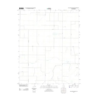
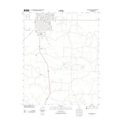
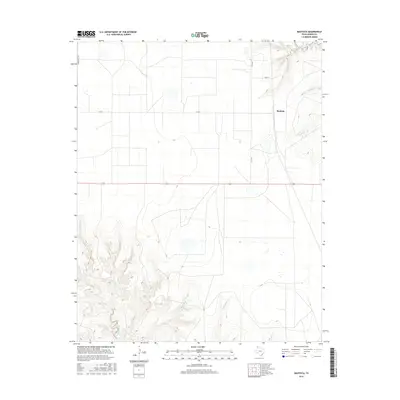
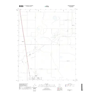
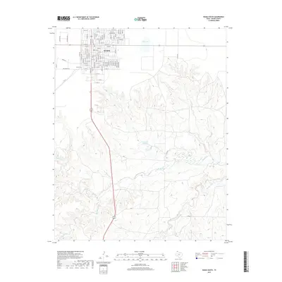
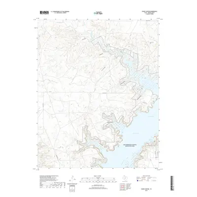
Historical Maps of Moore County Through Time
74 maps found
1923 Sierra Madera
Moore County, TX
1936 Fourways
Moore County, TX
1953 Evans Canyon
Moore County, TX
1953 Masterson
Moore County, TX
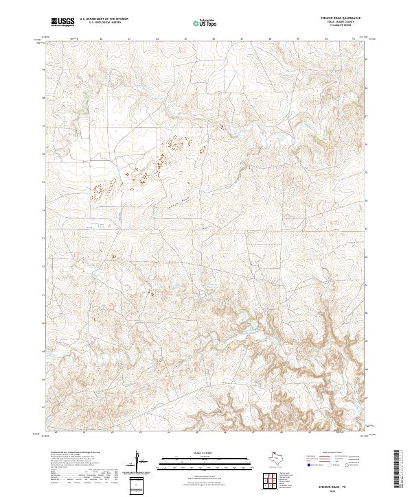
1953 Spencer Draw
Moore County, TX
1963 Stallwitz Lake
Moore County, TX
1965 Dumas North
Moore County, TX
1965 Dumas South
Moore County, TX
1965 Stallwitz Lake NE
Moore County, TX
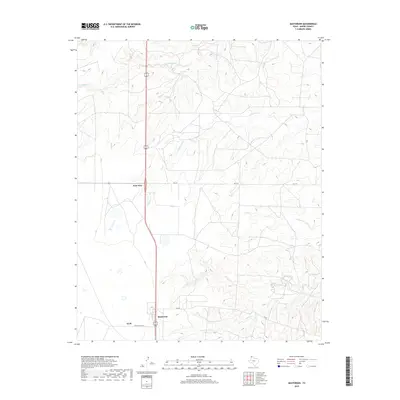
1971 Bautista
Moore County, TX
1972 Dumas NE
Moore County, TX
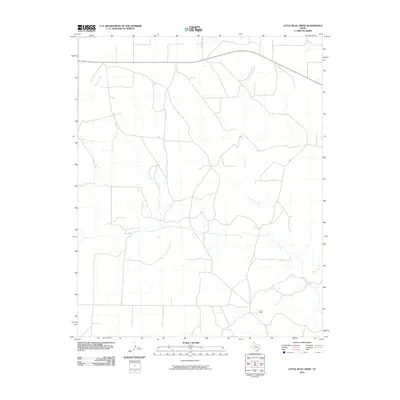
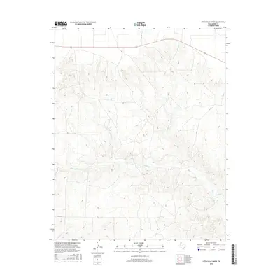
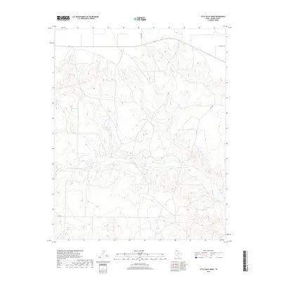
1972 Little Blue Creek
Moore County, TX
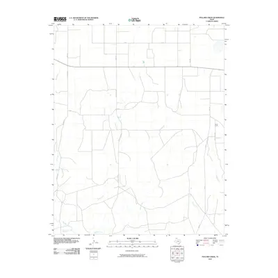
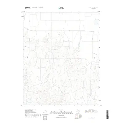
1972 Pollard Creek
Moore County, TX
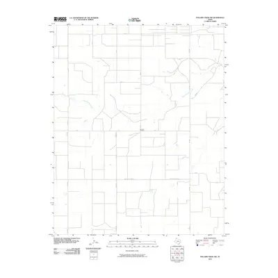
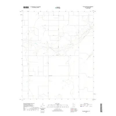
1972 Pollard Creek NW
Moore County, TX
2010 Bautista
Moore County, TX
2010 Dumas NE
Moore County, TX
2010 Dumas North
Moore County, TX
2010 Dumas South
Moore County, TX
2010 Evans Canyon
Moore County, TX
2010 Little Blue Creek
Moore County, TX
2010 Masterson
Moore County, TX
2010 Pollard Creek
Moore County, TX
2010 Pollard Creek NW
Moore County, TX
2010 Spencer Draw
Moore County, TX
2010 Stallwitz Lake
Moore County, TX
2010 Stallwitz Lake NE
Moore County, TX
2012 Bautista
Moore County, TX
2012 Dumas NE
Moore County, TX
2012 Dumas North
Moore County, TX
2012 Evans Canyon
Moore County, TX
2012 Little Blue Creek
Moore County, TX
2012 Masterson
Moore County, TX
2012 Pollard Creek
Moore County, TX
2012 Pollard Creek NW
Moore County, TX
2012 Spencer Draw
Moore County, TX
2012 Stallwitz Lake
Moore County, TX
2012 Stallwitz Lake NE
Moore County, TX
2013 Dumas South
Moore County, TX
2016 Bautista
Moore County, TX
2016 Dumas NE
Moore County, TX
2016 Dumas North
Moore County, TX
2016 Dumas South
Moore County, TX
2016 Evans Canyon
Moore County, TX
2016 Little Blue Creek
Moore County, TX
2016 Masterson
Moore County, TX
2016 Pollard Creek
Moore County, TX
2016 Pollard Creek NW
Moore County, TX
2016 Spencer Draw
Moore County, TX
2016 Stallwitz Lake
Moore County, TX
2016 Stallwitz Lake NE
Moore County, TX
2019 Bautista
Moore County, TX
2019 Dumas NE
Moore County, TX
2019 Dumas North
Moore County, TX
2019 Dumas South
Moore County, TX
2019 Evans Canyon
Moore County, TX
2019 Little Blue Creek
Moore County, TX
2019 Masterson
Moore County, TX
2019 Pollard Creek
Moore County, TX
2019 Pollard Creek NW
Moore County, TX
2019 Spencer Draw
Moore County, TX
2019 Stallwitz Lake
Moore County, TX
2019 Stallwitz Lake NE
Moore County, TX
2022 Bautista
Moore County, TX
2022 Dumas NE
Moore County, TX
2022 Dumas North
Moore County, TX
2022 Dumas South
Moore County, TX
2022 Evans Canyon
Moore County, TX
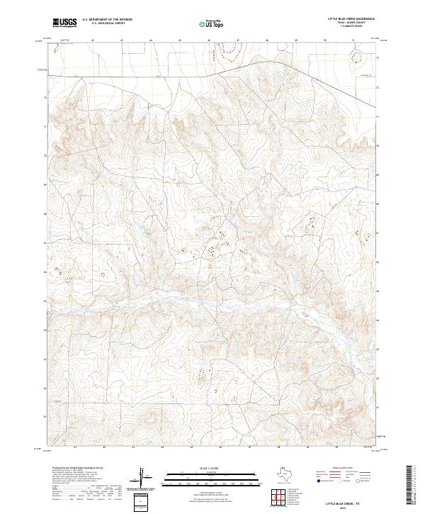
2022 Little Blue Creek
Moore County, TX
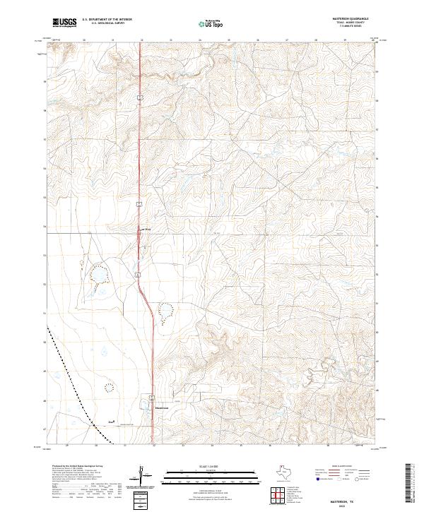
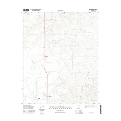
2022 Masterson
Moore County, TX
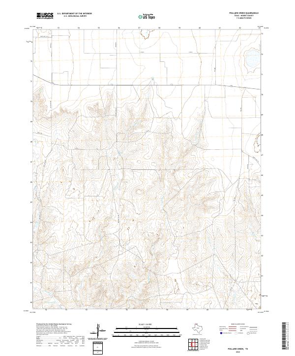
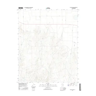
2022 Pollard Creek
Moore County, TX
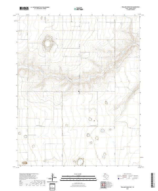
2022 Pollard Creek NW
Moore County, TX
2022 Spencer Draw
Moore County, TX
2022 Stallwitz Lake
Moore County, TX
2022 Stallwitz Lake NE
Moore County, TX