2024 Map of Forest Park
USGS Topo · Published 2024About this map
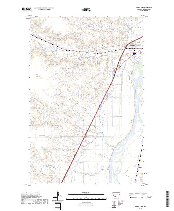
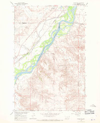
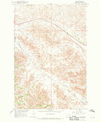
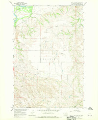
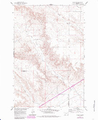
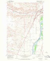
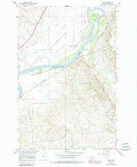
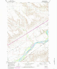
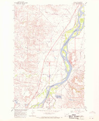
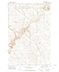
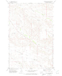
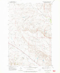
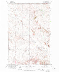
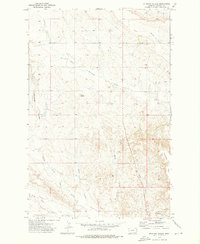
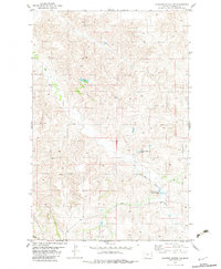
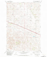
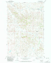
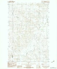
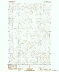
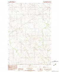
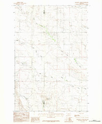
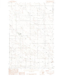
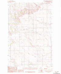
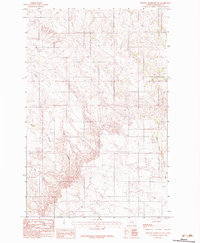
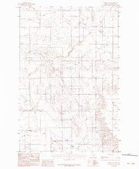
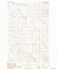
The Yellowstone River corridor dominates this map of eastern Montana, where the interplay between upland plateaus and river bottomlands defines the local geography. The community of West Glendive sits at the northern edge, bordered by the residential pocket of Forest Park. To the south, the settlement of Colgate marks the lower reaches of the river valley. A significant engineering feature, the Main Siphon Canal, cuts a straight line across the landscape, crossing both Sand Creek and the drainage of Whooppup Creek. This infrastructure serves the agricultural lands near the river, while the higher terrain to the west is characterized by broad areas like Pleasant View Flat. Local history is anchored by the Dawson Memorial Cem, situated near the confluence of Upper Sevenmile Creek and the main river valley.
Find a feature on this map
31 named features on this map. Tap any name to fly to it.
Don’t see what you’re looking for? This feature index may not catch every label — zoom into the map to look around manually.
Map Details
Editions of this 2024 Forest Park Map
This is the sole edition of this map. No revisions or reprints were ever made.
Historical Maps of Forest Park Through Time
83 maps found
1966 Allard Ranch
Dawson County, MT
1966 Intake
Dawson County, MT
1966 Intake NW
Dawson County, MT
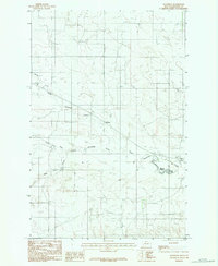
1966 Kolberg Ranch
Dawson County, MT
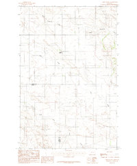
1966 Savage SW
Dawson County, MT
1967 Allard
Dawson County, MT
1967 Belle Prairie
Dawson County, MT
1967 Fallon NE
Dawson County, MT
1967 Forest Park
Dawson County, MT
1967 Hoyt
Dawson County, MT
1967 Marsh
Dawson County, MT
1967 Stipek
Dawson County, MT
1967 Twin Forks Reservoir
Dawson County, MT
1967 Upper Magpie Reservoir
Dawson County, MT
1972 Butler Table
Dawson County, MT
1972 Clay Butte
Dawson County, MT
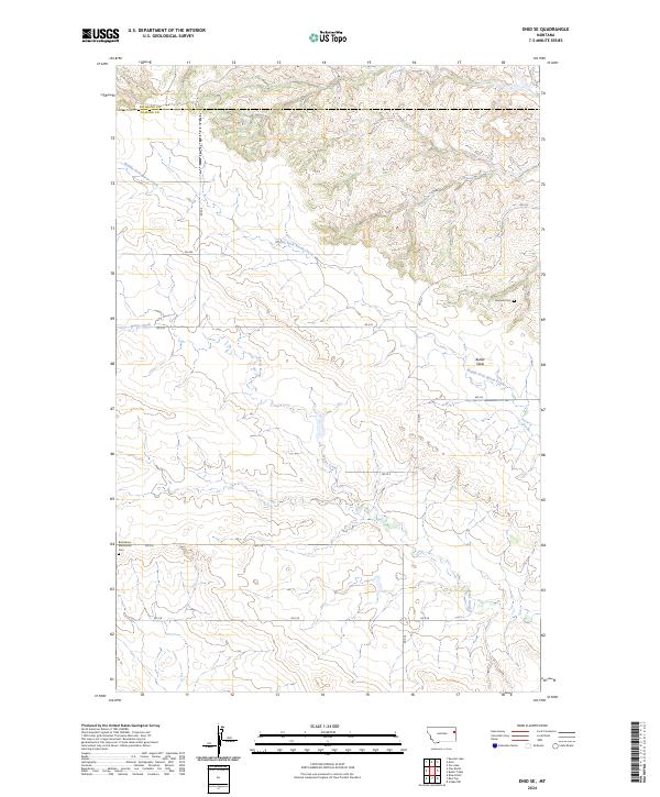
1972 Enid SE
Dawson County, MT
1972 Morgan Creek School
Dawson County, MT
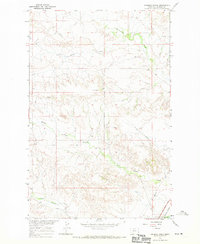
1972 Pleasant View
Dawson County, MT
1972 Poverty Flat East
Dawson County, MT
1972 Poverty Flat West
Dawson County, MT
1972 Red Top
Dawson County, MT
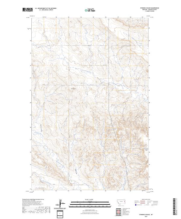
1972 Stinking Coulee
Dawson County, MT
1982 Cluster Buttes NW
Dawson County, MT
1982 Cluster Buttes SW
Dawson County, MT
1982 Hodges
Dawson County, MT
1983 Buffalo Creek NE
Dawson County, MT
1983 Buffalo Creek SE
Dawson County, MT
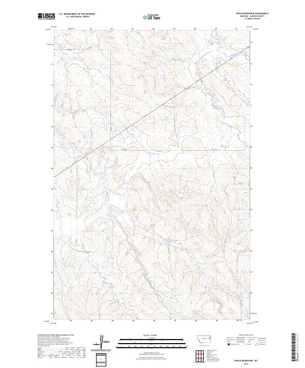
1983 Circle Reservoir
Dawson County, MT
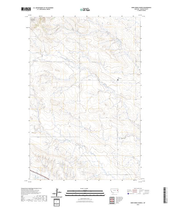
1983 Deer Creek Church
Dawson County, MT
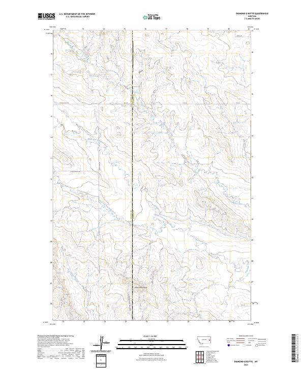
1983 Diamond G Butte
Dawson County, MT
1983 Johnson Reservoir
Dawson County, MT
1983 Johnson Reservoir NE
Dawson County, MT
1983 Johnson Reservoir NW
Dawson County, MT
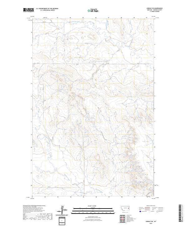
1983 Lindsay SW
Dawson County, MT
1983 Olson Coulee North
Dawson County, MT
1983 Olson Coulee South
Dawson County, MT
1983 Richey NW
Dawson County, MT
1983 Richey SE
Dawson County, MT
1983 Union School
Dawson County, MT
1983 Woodrow
Dawson County, MT
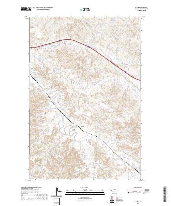
2024 Allard
Dawson County, MT
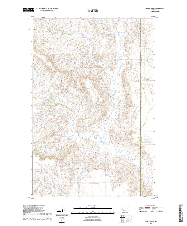
2024 Allard Ranch
Dawson County, MT
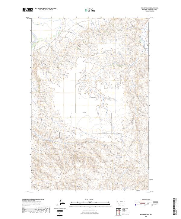
2024 Belle Prairie
Dawson County, MT
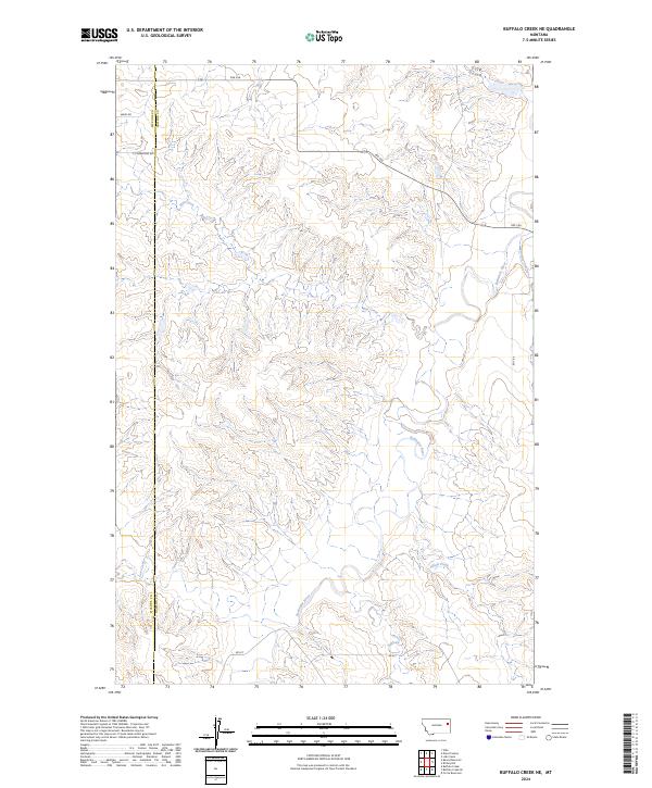
2024 Buffalo Creek NE
Dawson County, MT
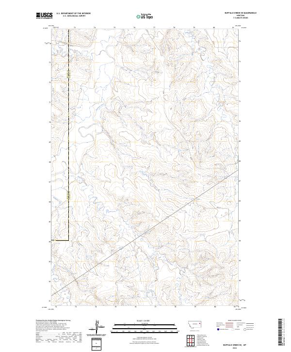
2024 Buffalo Creek SE
Dawson County, MT
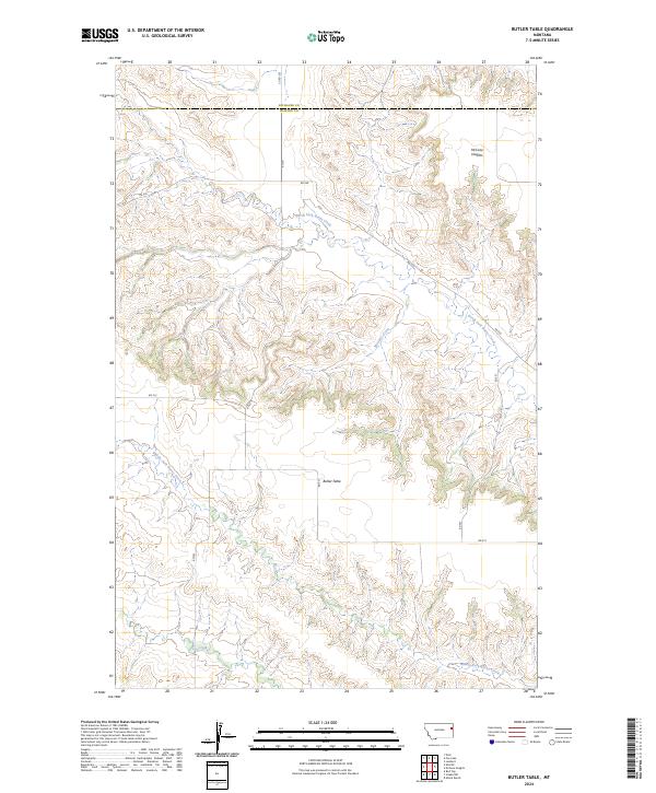
2024 Butler Table
Dawson County, MT
2024 Circle Reservoir
Dawson County, MT
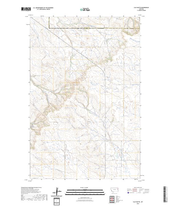
2024 Clay Butte
Dawson County, MT
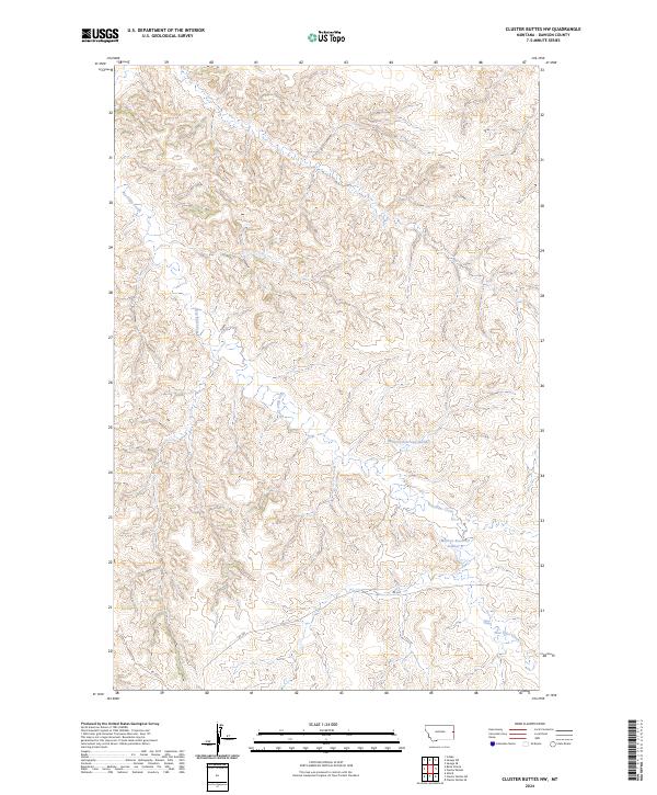
2024 Cluster Buttes NW
Dawson County, MT
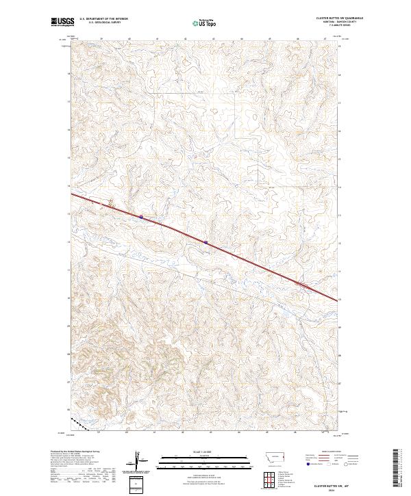
2024 Cluster Buttes SW
Dawson County, MT
2024 Deer Creek Church
Dawson County, MT
2024 Diamond G Butte
Dawson County, MT
2024 Enid SE
Dawson County, MT
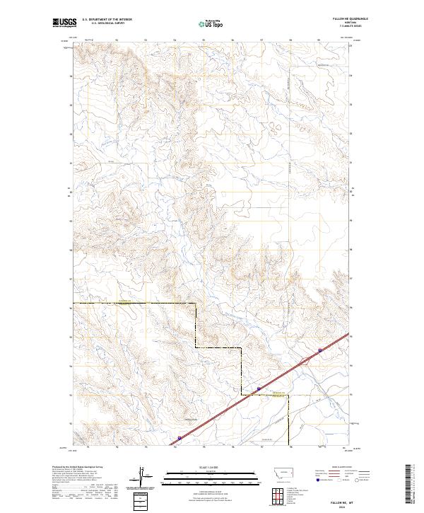
2024 Fallon NE
Dawson County, MT
2024 Forest Park
Dawson County, MT
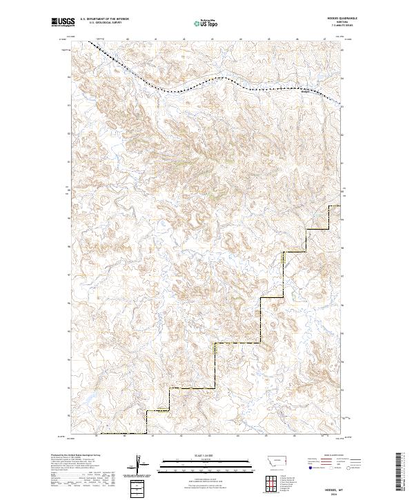
2024 Hodges
Dawson County, MT
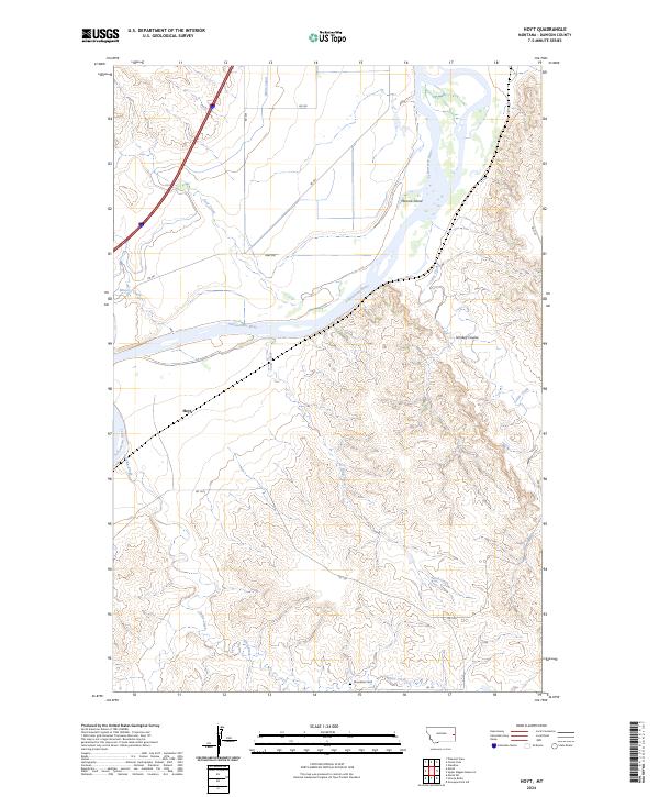
2024 Hoyt
Dawson County, MT
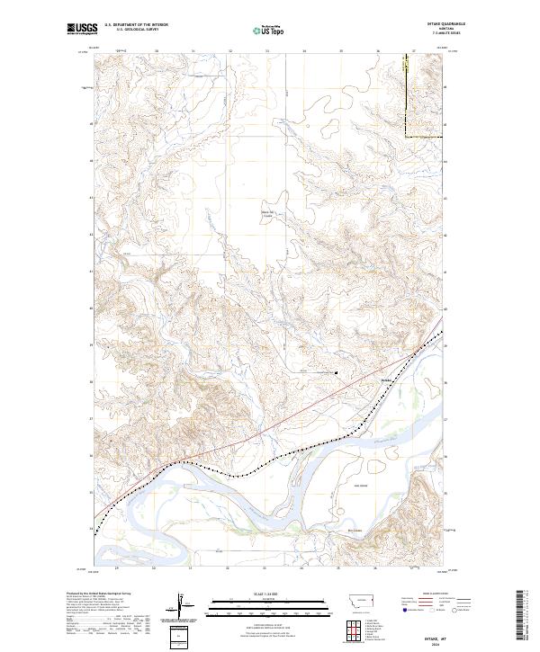
2024 Intake
Dawson County, MT
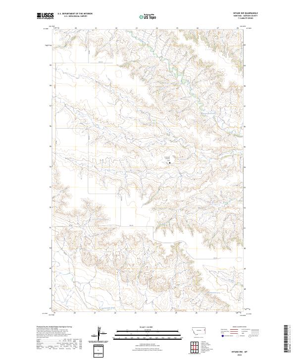
2024 Intake NW
Dawson County, MT
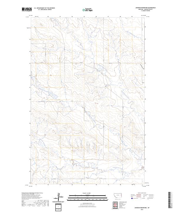
2024 Johnson Reservoir
Dawson County, MT
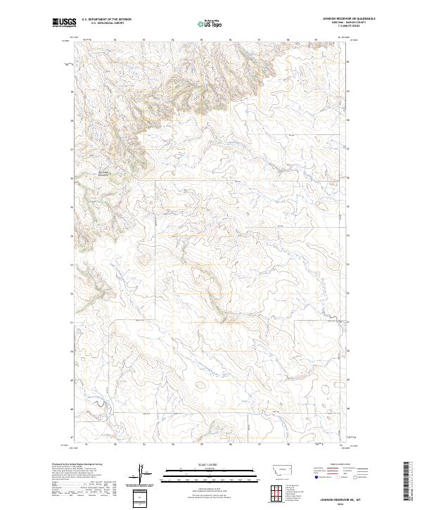
2024 Johnson Reservoir NE
Dawson County, MT
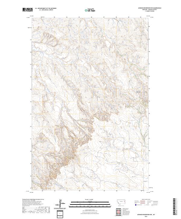
2024 Johnson Reservoir NW
Dawson County, MT
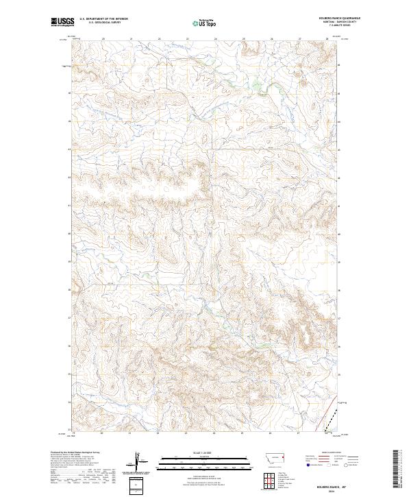
2024 Kolberg Ranch
Dawson County, MT
2024 Lindsay SW
Dawson County, MT
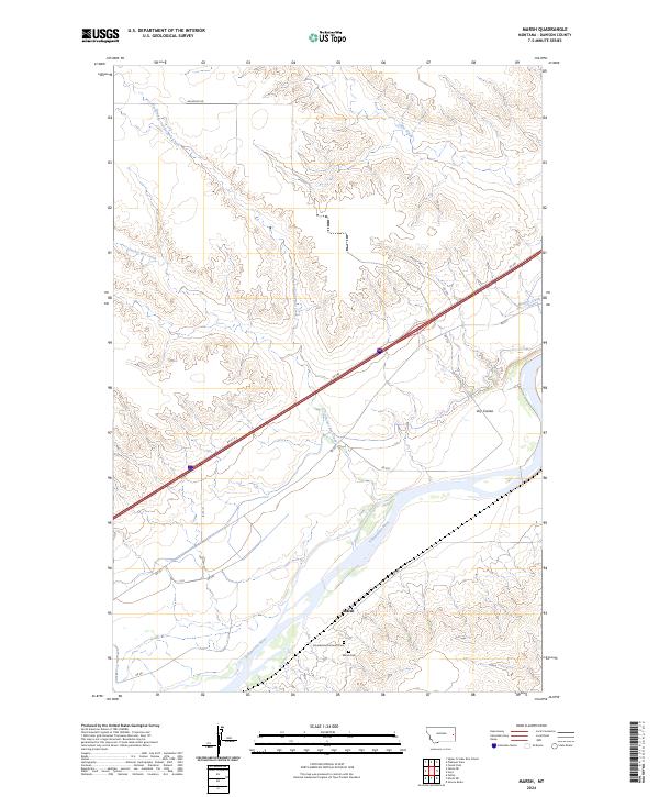
2024 Marsh
Dawson County, MT
2024 Morgan Creek School
Dawson County, MT
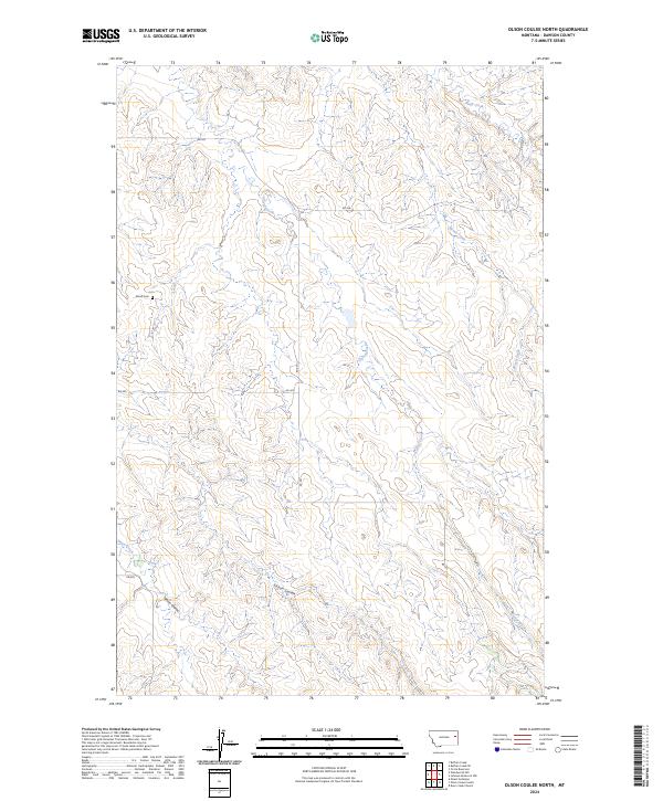
2024 Olson Coulee North
Dawson County, MT
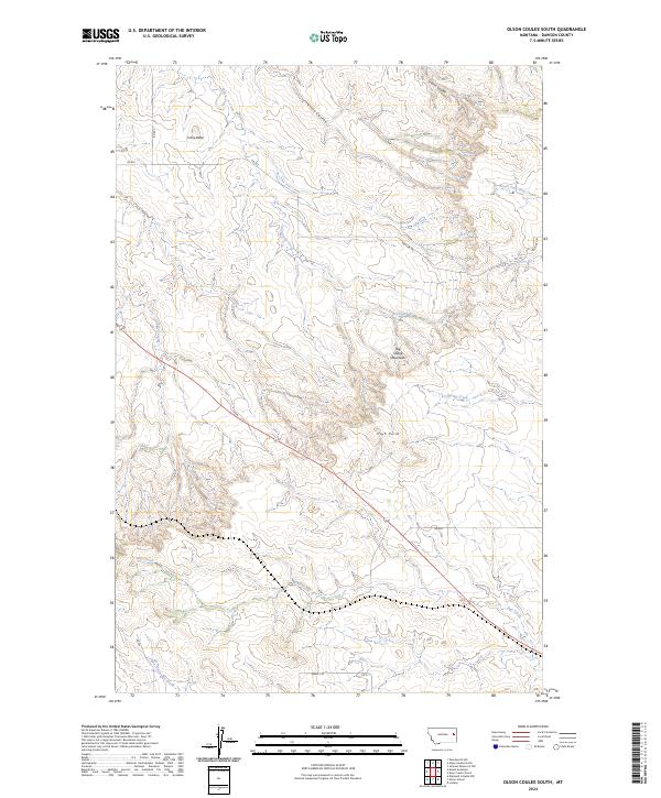
2024 Olson Coulee South
Dawson County, MT
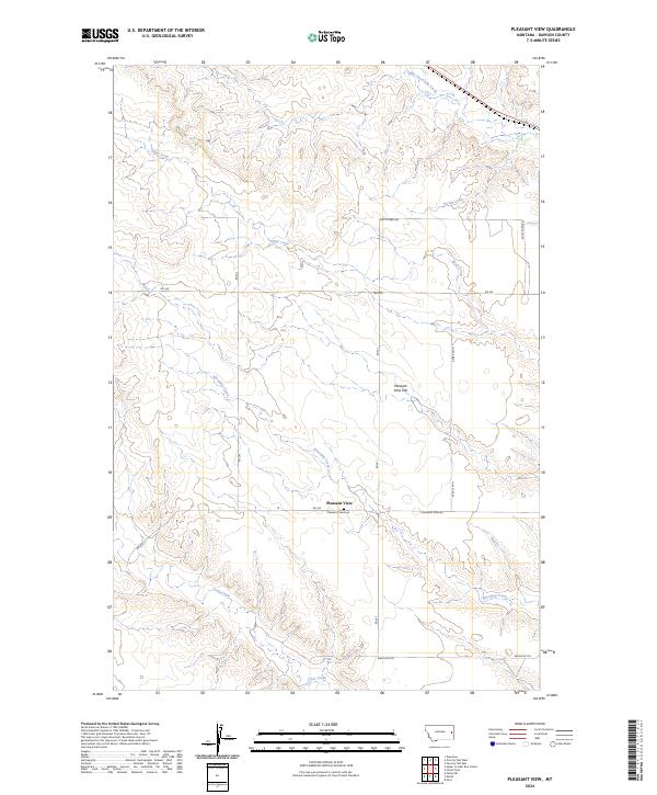
2024 Pleasant View
Dawson County, MT
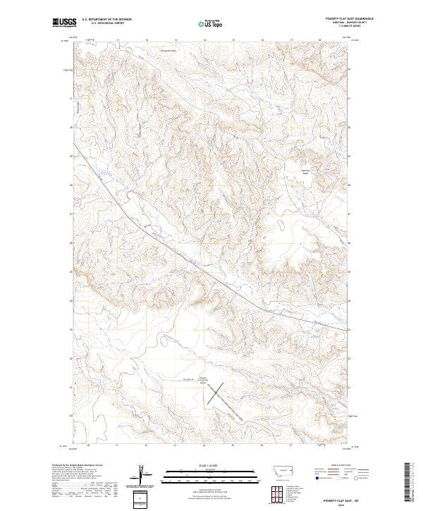
2024 Poverty Flat East
Dawson County, MT
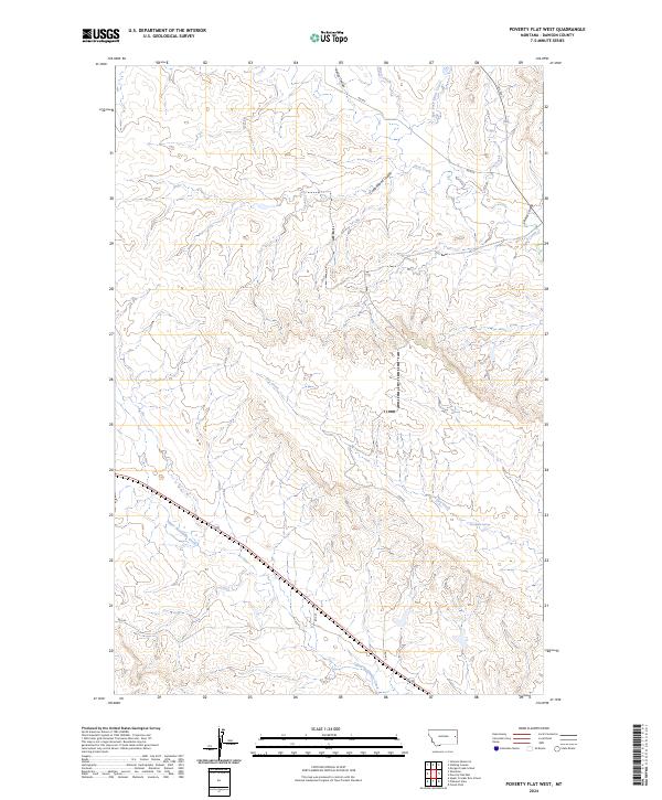
2024 Poverty Flat West
Dawson County, MT
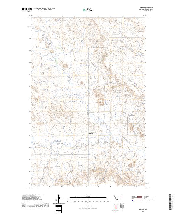
2024 Red Top
Dawson County, MT
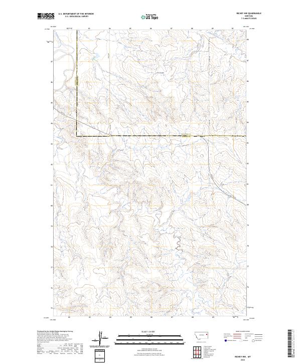
2024 Richey NW
Dawson County, MT
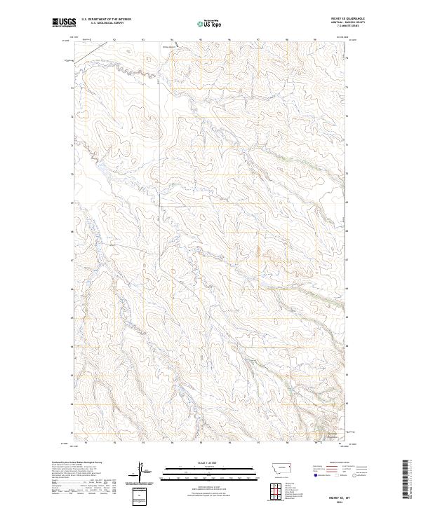
2024 Richey SE
Dawson County, MT
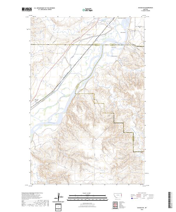
2024 Savage SW
Dawson County, MT
2024 Stinking Coulee
Dawson County, MT
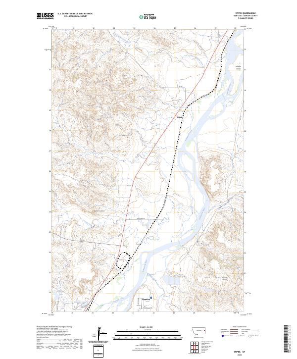
2024 Stipek
Dawson County, MT
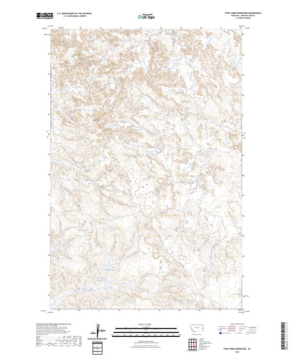
2024 Twin Forks Reservoir
Dawson County, MT
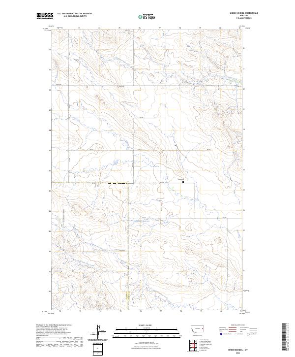
2024 Union School
Dawson County, MT
2024 Upper Cracker Box School
Dawson County, MT
2024 Upper Magpie Reservoir
Dawson County, MT
2024 Woodrow
Dawson County, MT