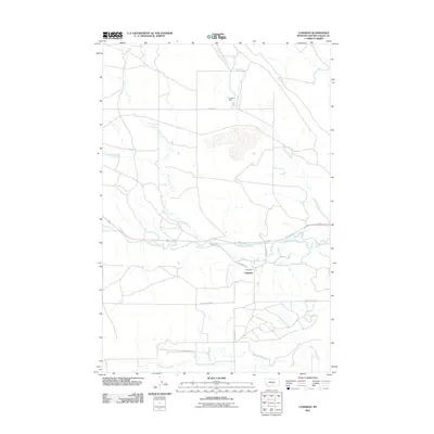
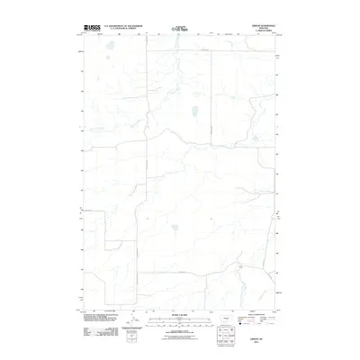
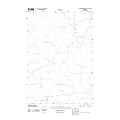
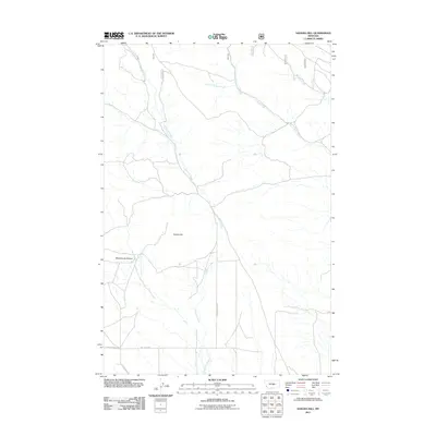
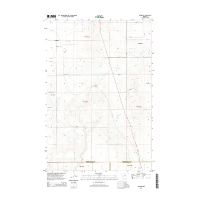
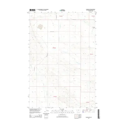
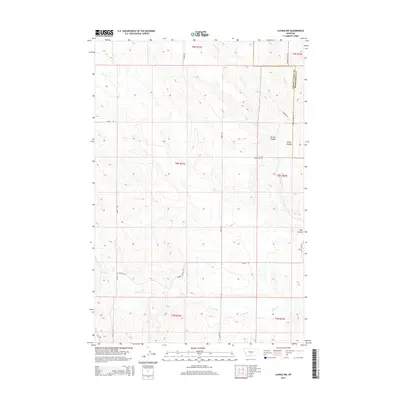
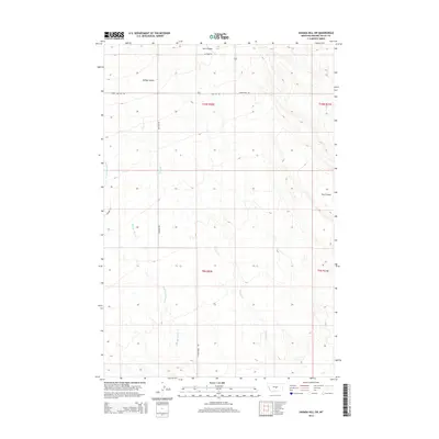
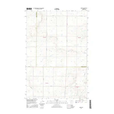
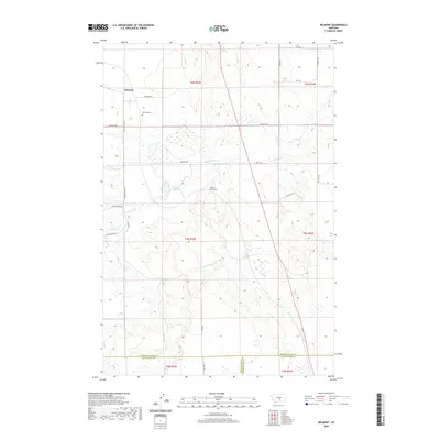
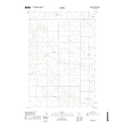
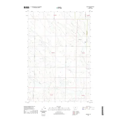
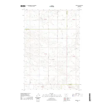
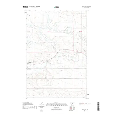
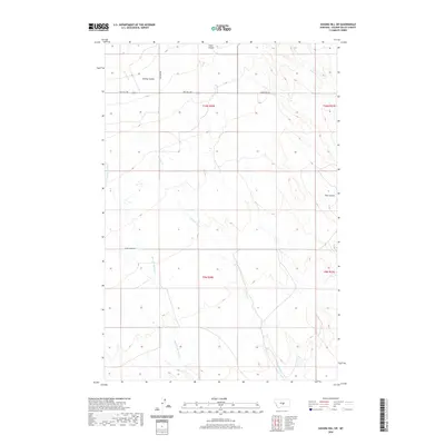
2024 Map of Lavina NW
USGS Topo · Published 2024About this map
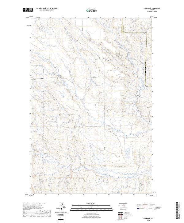
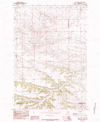
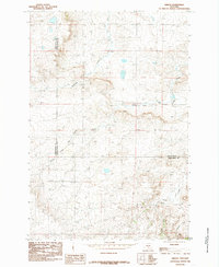
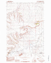
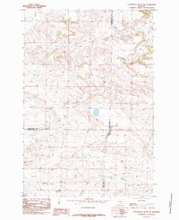
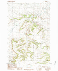
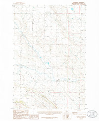
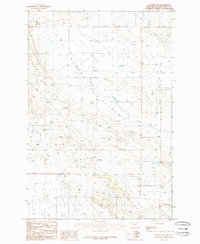
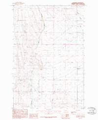
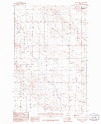
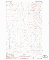
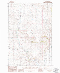
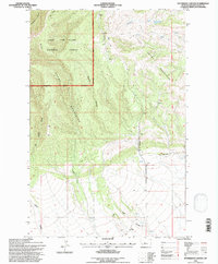
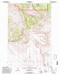
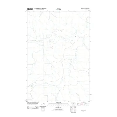
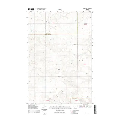
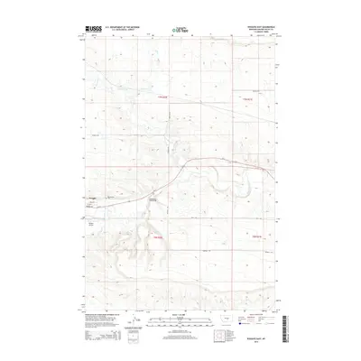
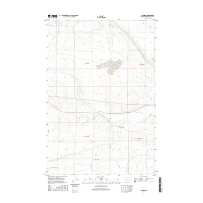
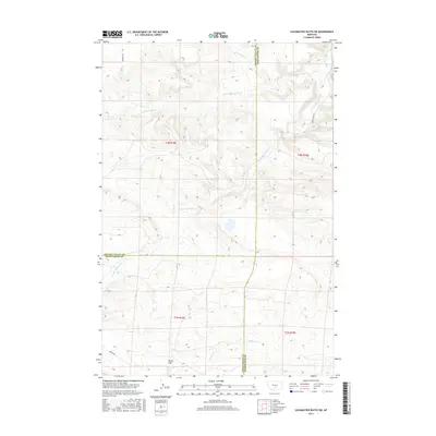
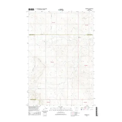
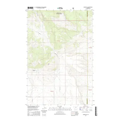
The boundary line between Golden Valley and Musselshell counties defines the eastern edge of this Central Montana landscape. The terrain is characterized by a series of distinct drainage patterns and coulees that cut through the high plains, including Spring Coulee and Twin Coulee. These features represent the typical rangeland topography of the region, where seasonal water flow has carved deep relief into the soil. Transport and access are provided by a network of rural routes such as Emory Rd and Middle Rd, which follow the section lines of the Public Land Survey System. The presence of Currant Creek and Cameron Creek suggests the vital importance of water sources in this arid environment, likely serving local ranching operations and native wildlife near the Timber Buttes Rd corridor.
Find a feature on this map
13 named features on this map. Tap any name to fly to it.
Don’t see what you’re looking for? This feature index may not catch every label — zoom into the map to look around manually.
Map Details
Editions of this 2024 Lavina NW Map
This is the sole edition of this map. No revisions or reprints were ever made.
Historical Maps of Musselshell County Through Time
135 maps found
1979 Belmont
Golden Valley County, MT
1979 Lavina NW
Golden Valley County, MT
1980 Broadview NE
Golden Valley County, MT
1985 Eagle Point
Golden Valley County, MT
1985 Gibson
Golden Valley County, MT
1985 Locomotive Butte
Golden Valley County, MT
1985 Locomotive Butte SW
Golden Valley County, MT
1985 Mount Sinai
Golden Valley County, MT
1985 O'Brien Hill
Golden Valley County, MT
1985 Progress
Golden Valley County, MT
1986 Cushman
Golden Valley County, MT
1986 Cushman NE
Golden Valley County, MT
1986 Cushman NW
Golden Valley County, MT
1986 Green Ashley Gulch
Golden Valley County, MT
1986 Patterson Canyon
Golden Valley County, MT
1986 Rothiemay
Golden Valley County, MT
1986 Ryegate East
Golden Valley County, MT
1986 Ryegate West
Golden Valley County, MT
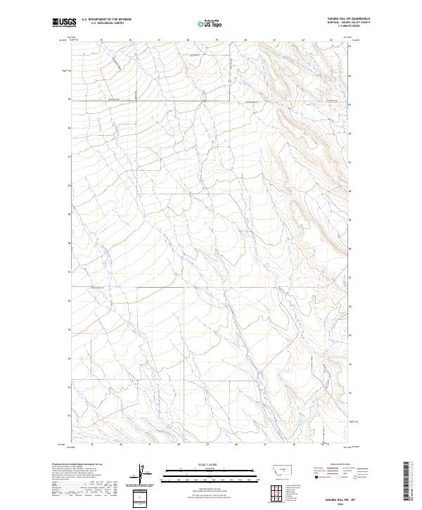
1986 Sahara Hill
Golden Valley County, MT
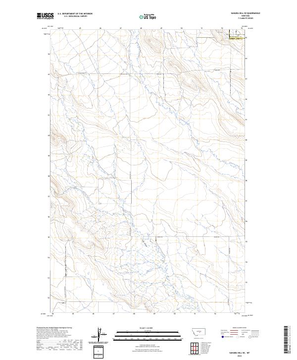
1986 Sahara Hill SE
Golden Valley County, MT
1986 Sahara Hill SW
Golden Valley County, MT
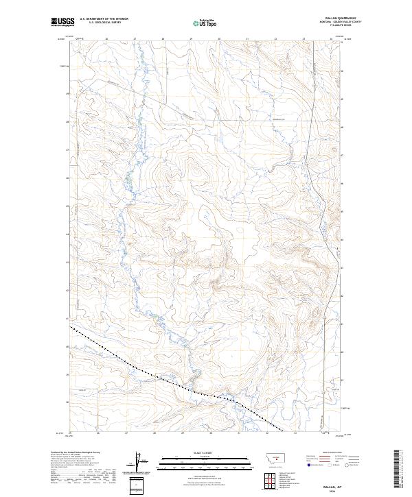
1986 Wallum
Golden Valley County, MT
1995 Green Ashley Gulch
Golden Valley County, MT
1995 Patterson Canyon
Golden Valley County, MT
1995 Sahara Hill
Golden Valley County, MT
2011 Belmont
Golden Valley County, MT
2011 Broadview NE
Golden Valley County, MT
2011 Cushman
Golden Valley County, MT
2011 Cushman NE
Golden Valley County, MT
2011 Cushman NW
Golden Valley County, MT
2011 Eagle Point
Golden Valley County, MT
2011 Gibson
Golden Valley County, MT
2011 Green Ashly Gulch
Golden Valley County, MT
2011 Lavina NW
Golden Valley County, MT
2011 Locomotive Butte
Golden Valley County, MT
2011 Locomotive Butte SW
Golden Valley County, MT
2011 Mount Sinai
Golden Valley County, MT
2011 O'Brien Hill
Golden Valley County, MT
2011 Patterson Canyon
Golden Valley County, MT
2011 Progress
Golden Valley County, MT
2011 Rothiemay
Golden Valley County, MT
2011 Ryegate East
Golden Valley County, MT
2011 Ryegate West
Golden Valley County, MT
2011 Sahara Hill
Golden Valley County, MT
2011 Sahara Hill SE
Golden Valley County, MT
2011 Sahara Hill SW
Golden Valley County, MT
2011 Wallum
Golden Valley County, MT
2014 Belmont
Golden Valley County, MT
2014 Broadview NE
Golden Valley County, MT
2014 Cushman
Golden Valley County, MT
2014 Cushman NE
Golden Valley County, MT
2014 Cushman NW
Golden Valley County, MT
2014 Eagle Point
Golden Valley County, MT
2014 Gibson
Golden Valley County, MT
2014 Green Ashly Gulch
Golden Valley County, MT
2014 Lavina NW
Golden Valley County, MT
2014 Locomotive Butte
Golden Valley County, MT
2014 Locomotive Butte SW
Golden Valley County, MT
2014 Mount Sinai
Golden Valley County, MT
2014 O'Brien Hill
Golden Valley County, MT
2014 Patterson Canyon
Golden Valley County, MT
2014 Progress
Golden Valley County, MT
2014 Rothiemay
Golden Valley County, MT
2014 Ryegate East
Golden Valley County, MT
2014 Ryegate West
Golden Valley County, MT
2014 Sahara Hill
Golden Valley County, MT
2014 Sahara Hill SE
Golden Valley County, MT
2014 Sahara Hill SW
Golden Valley County, MT
2014 Wallum
Golden Valley County, MT
2017 Belmont
Golden Valley County, MT
2017 Broadview NE
Golden Valley County, MT
2017 Cushman
Golden Valley County, MT
2017 Cushman NE
Golden Valley County, MT
2017 Cushman NW
Golden Valley County, MT
2017 Eagle Point
Golden Valley County, MT
2017 Gibson
Golden Valley County, MT
2017 Green Ashly Gulch
Golden Valley County, MT
2017 Lavina NW
Golden Valley County, MT
2017 Locomotive Butte
Golden Valley County, MT
2017 Locomotive Butte SW
Golden Valley County, MT
2017 Mount Sinai
Golden Valley County, MT
2017 O'Brien Hill
Golden Valley County, MT
2017 Patterson Canyon
Golden Valley County, MT
2017 Progress
Golden Valley County, MT
2017 Rothiemay
Golden Valley County, MT
2017 Ryegate East
Golden Valley County, MT
2017 Ryegate West
Golden Valley County, MT
2017 Sahara Hill
Golden Valley County, MT
2017 Sahara Hill SE
Golden Valley County, MT
2017 Sahara Hill SW
Golden Valley County, MT
2017 Wallum
Golden Valley County, MT
2020 Belmont
Golden Valley County, MT
2020 Broadview NE
Golden Valley County, MT
2020 Cushman
Golden Valley County, MT
2020 Cushman NE
Golden Valley County, MT
2020 Cushman NW
Golden Valley County, MT
2020 Eagle Point
Golden Valley County, MT
2020 Gibson
Golden Valley County, MT
2020 Green Ashly Gulch
Golden Valley County, MT
2020 Lavina NW
Golden Valley County, MT
2020 Locomotive Butte
Golden Valley County, MT
2020 Locomotive Butte SW
Golden Valley County, MT
2020 Mount Sinai
Golden Valley County, MT
2020 O'Brien Hill
Golden Valley County, MT
2020 Patterson Canyon
Golden Valley County, MT
2020 Progress
Golden Valley County, MT
2020 Rothiemay
Golden Valley County, MT
2020 Ryegate East
Golden Valley County, MT
2020 Ryegate West
Golden Valley County, MT
2020 Sahara Hill
Golden Valley County, MT
2020 Sahara Hill SE
Golden Valley County, MT
2020 Sahara Hill SW
Golden Valley County, MT
2020 Wallum
Golden Valley County, MT
2024 Belmont
Golden Valley County, MT
2024 Broadview NE
Golden Valley County, MT
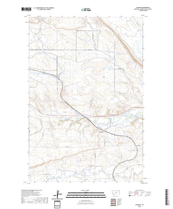
2024 Cushman
Golden Valley County, MT
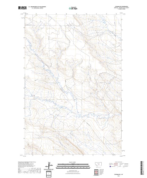
2024 Cushman NE
Golden Valley County, MT
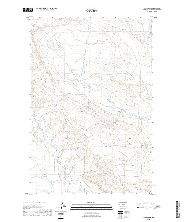
2024 Cushman NW
Golden Valley County, MT
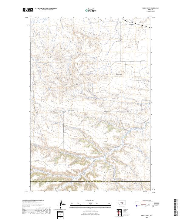
2024 Eagle Point
Golden Valley County, MT
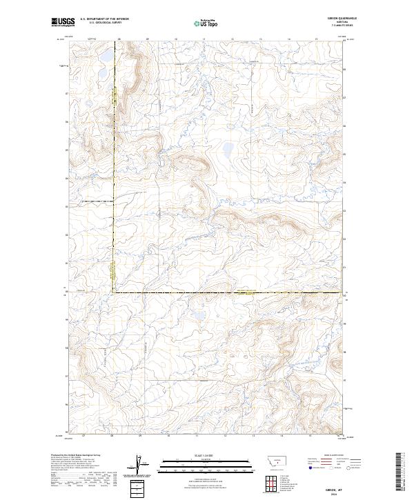
2024 Gibson
Golden Valley County, MT
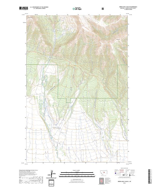
2024 Green Ashly Gulch
Golden Valley County, MT
2024 Lavina NW
Golden Valley County, MT
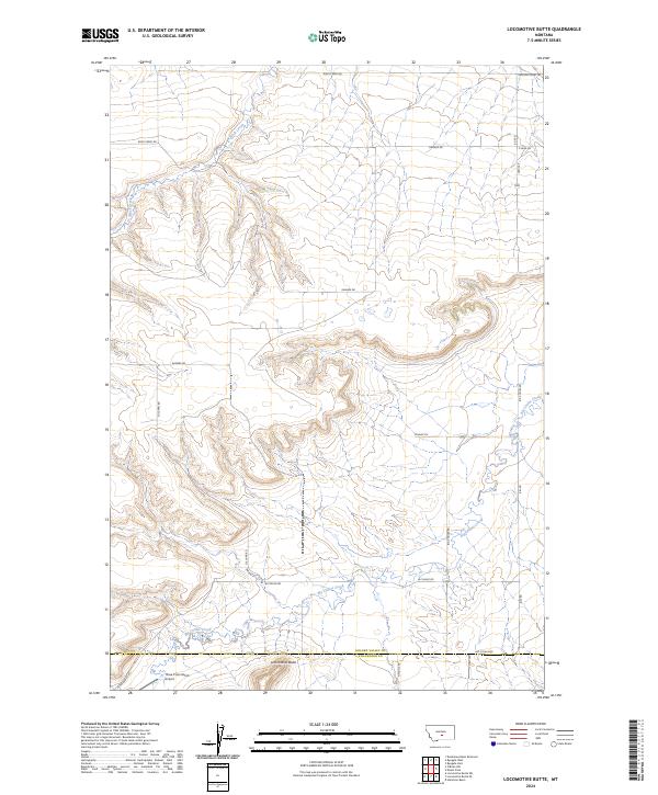
2024 Locomotive Butte
Golden Valley County, MT
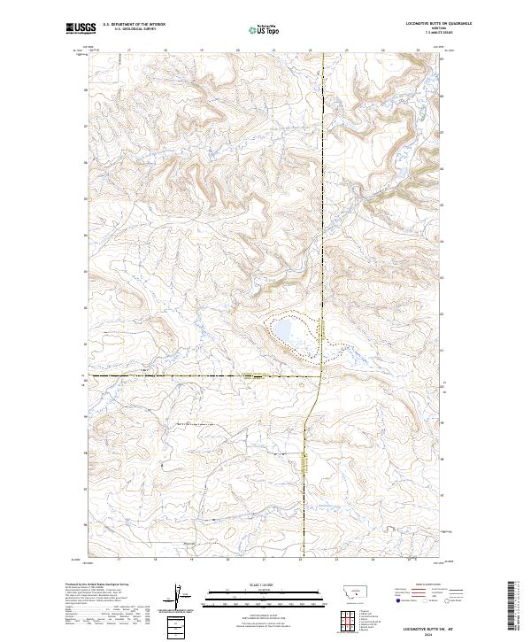
2024 Locomotive Butte SW
Golden Valley County, MT
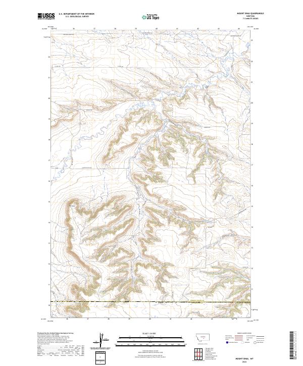
2024 Mount Sinai
Golden Valley County, MT
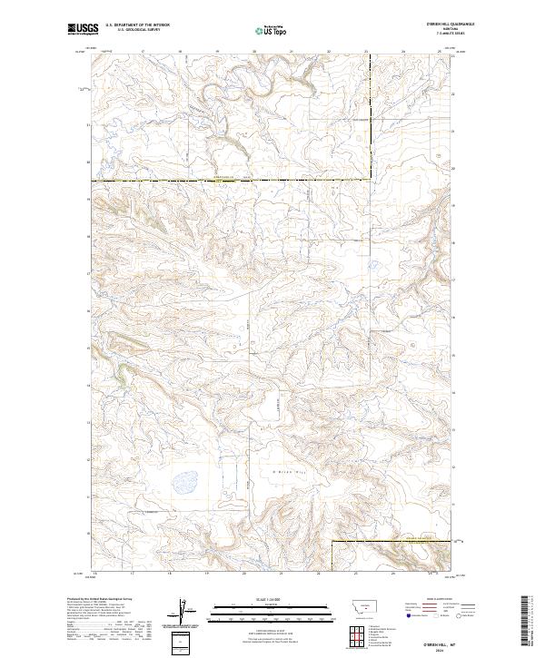
2024 O'Brien Hill
Golden Valley County, MT
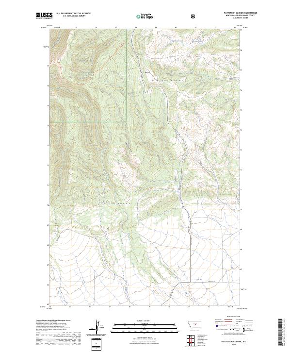
2024 Patterson Canyon
Golden Valley County, MT
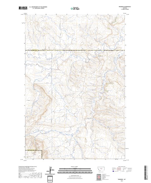
2024 Progress
Golden Valley County, MT
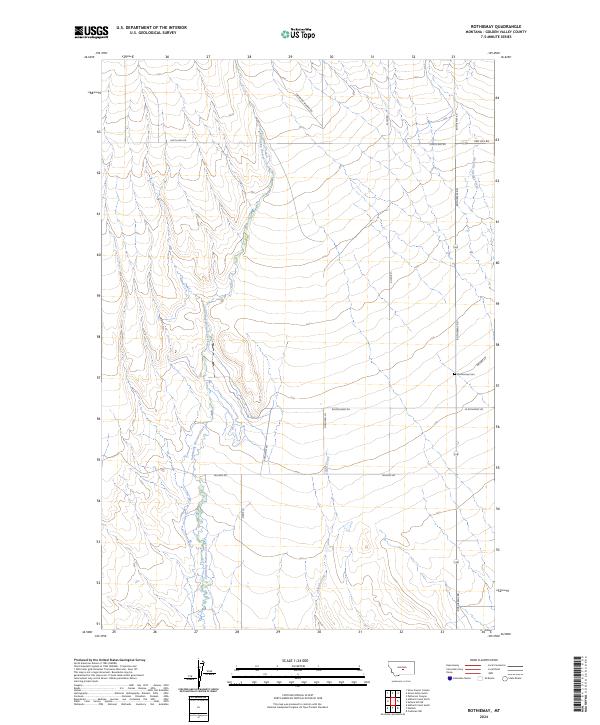
2024 Rothiemay
Golden Valley County, MT
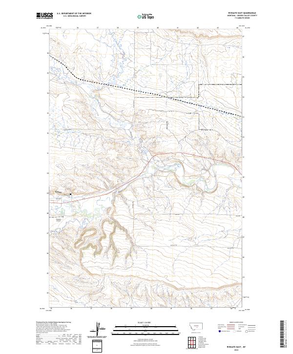
2024 Ryegate East
Golden Valley County, MT
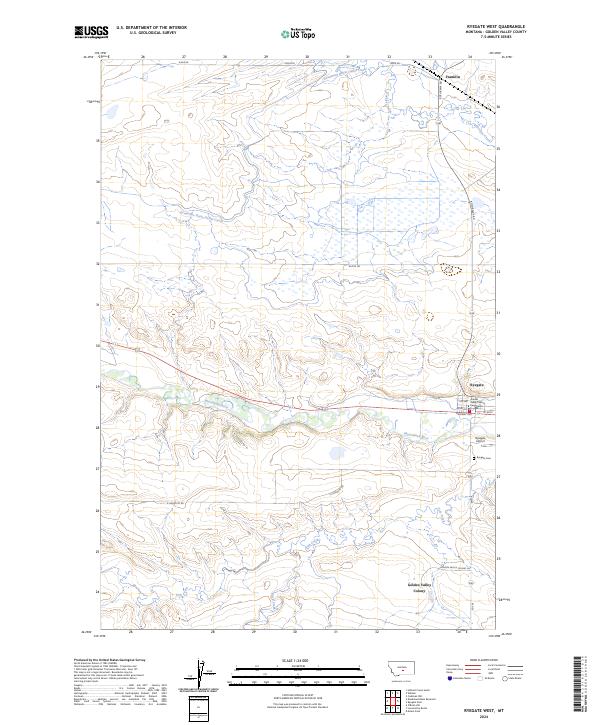
2024 Ryegate West
Golden Valley County, MT
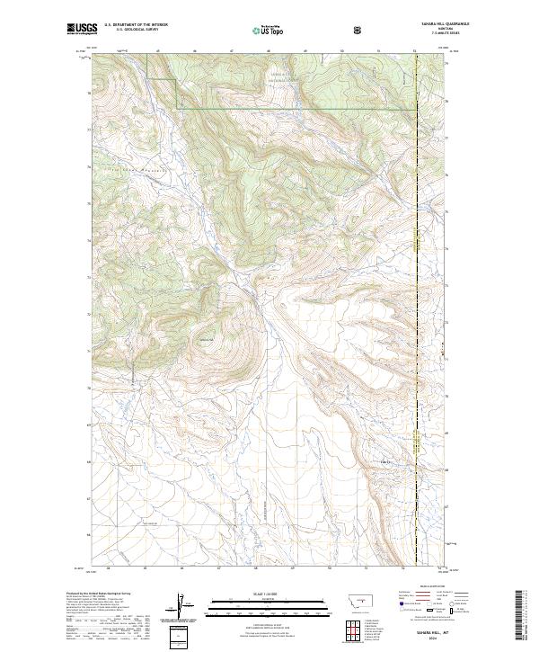
2024 Sahara Hill
Golden Valley County, MT
2024 Sahara Hill SE
Golden Valley County, MT
2024 Sahara Hill SW
Golden Valley County, MT
2024 Wallum
Golden Valley County, MT