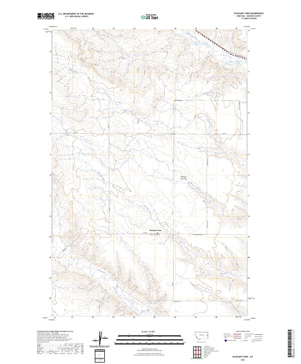
2024 Map of Pleasant View
USGS Topo · Published 2024About this map
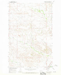
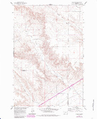
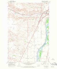
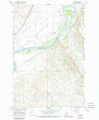
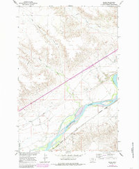
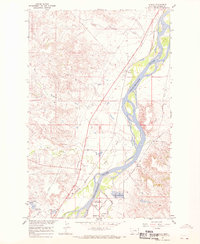
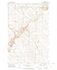
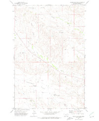
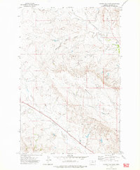
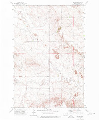
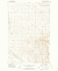
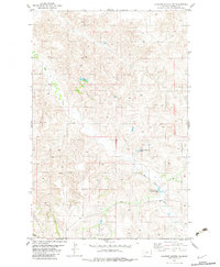
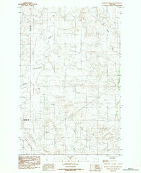
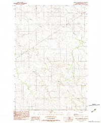
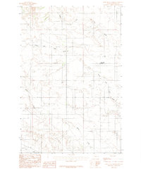
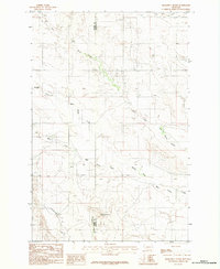
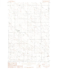
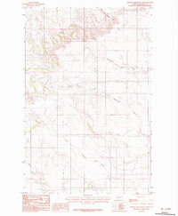
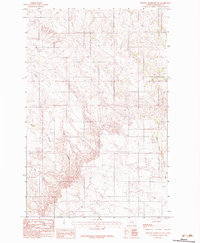
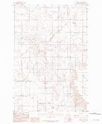
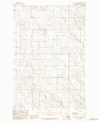
Pleasant View sits at the heart of this Montana landscape, surrounded by the distinctive topography of Pleasant View Flat. The area is defined by a dense network of drainage systems, with Whoopup Creek and Clear Creek winding through the southern sections, while Sand Creek and Upper Sevenmile Creek carve through the north. This 2024 survey reflects the modern agricultural and rural layout of Dawson County, showing how historical property lines and township boundaries like t15n r54e have shaped the placement of local thoroughfares.
Find a feature on this map
22 named features on this map. Tap any name to fly to it.
Don’t see what you’re looking for? This feature index may not catch every label — zoom into the map to look around manually.
Map Details
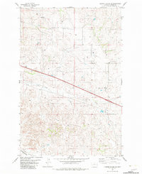
Editions of this 2024 Pleasant View Map
This is the sole edition of this map. No revisions or reprints were ever made.
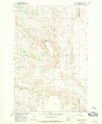
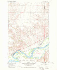
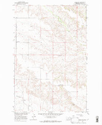
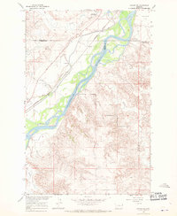
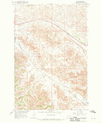
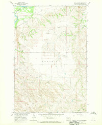
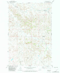
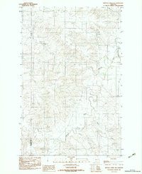
Historical Maps of Pleasant View Through Time
83 maps found
1966 Allard Ranch
Dawson County, MT
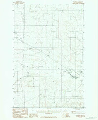
1966 Intake
Dawson County, MT
1966 Intake NW
Dawson County, MT
1966 Kolberg Ranch
Dawson County, MT
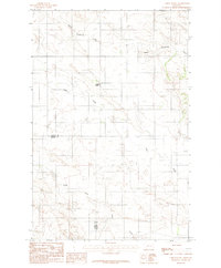
1966 Savage SW
Dawson County, MT
1967 Allard
Dawson County, MT
1967 Belle Prairie
Dawson County, MT
1967 Fallon NE
Dawson County, MT
1967 Forest Park
Dawson County, MT
1967 Hoyt
Dawson County, MT
1967 Marsh
Dawson County, MT
1967 Stipek
Dawson County, MT
1967 Twin Forks Reservoir
Dawson County, MT
1967 Upper Magpie Reservoir
Dawson County, MT
1972 Butler Table
Dawson County, MT
1972 Clay Butte
Dawson County, MT
1972 Enid SE
Dawson County, MT
1972 Morgan Creek School
Dawson County, MT
1972 Pleasant View
Dawson County, MT
1972 Poverty Flat East
Dawson County, MT
1972 Poverty Flat West
Dawson County, MT
1972 Red Top
Dawson County, MT
1972 Stinking Coulee
Dawson County, MT
1982 Cluster Buttes NW
Dawson County, MT
1982 Cluster Buttes SW
Dawson County, MT
1982 Hodges
Dawson County, MT
1983 Buffalo Creek NE
Dawson County, MT
1983 Buffalo Creek SE
Dawson County, MT
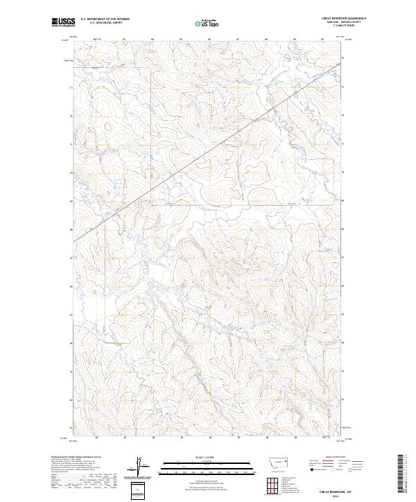
1983 Circle Reservoir
Dawson County, MT
1983 Deer Creek Church
Dawson County, MT
1983 Diamond G Butte
Dawson County, MT
1983 Johnson Reservoir
Dawson County, MT
1983 Johnson Reservoir NE
Dawson County, MT
1983 Johnson Reservoir NW
Dawson County, MT
1983 Lindsay SW
Dawson County, MT
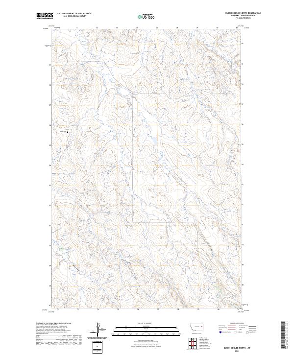
1983 Olson Coulee North
Dawson County, MT
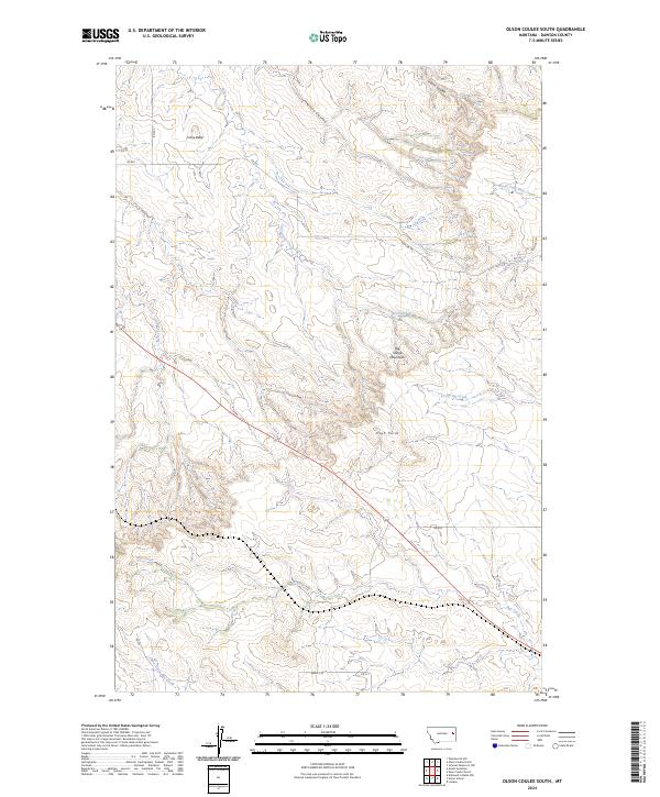
1983 Olson Coulee South
Dawson County, MT
1983 Richey NW
Dawson County, MT
1983 Richey SE
Dawson County, MT
1983 Union School
Dawson County, MT
1983 Woodrow
Dawson County, MT
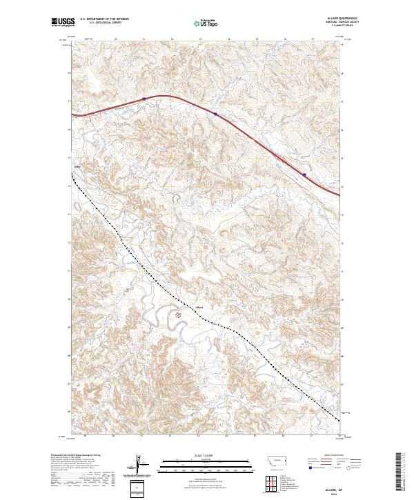
2024 Allard
Dawson County, MT
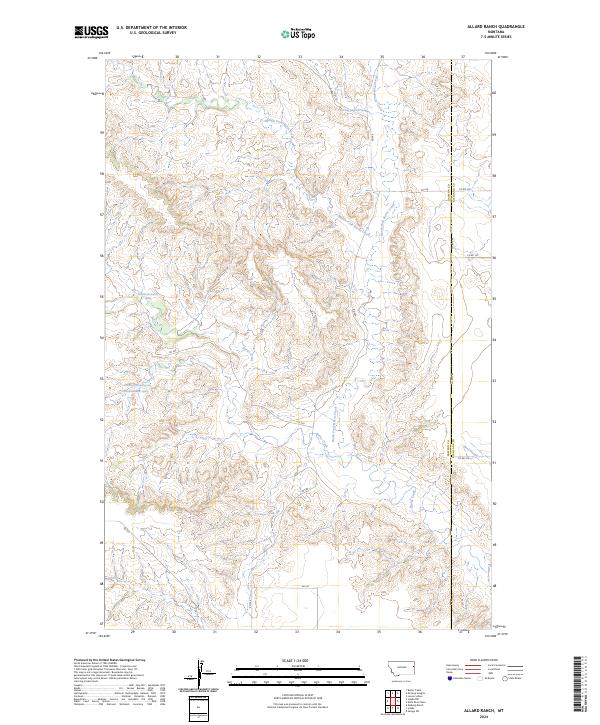
2024 Allard Ranch
Dawson County, MT
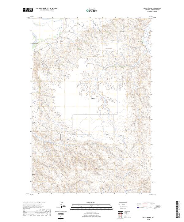
2024 Belle Prairie
Dawson County, MT
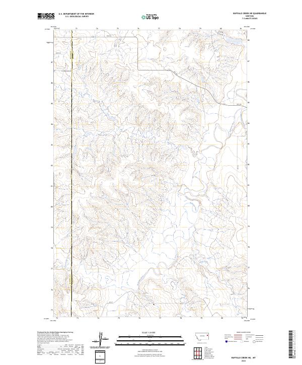
2024 Buffalo Creek NE
Dawson County, MT
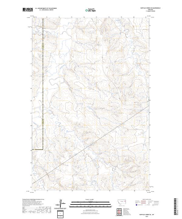
2024 Buffalo Creek SE
Dawson County, MT
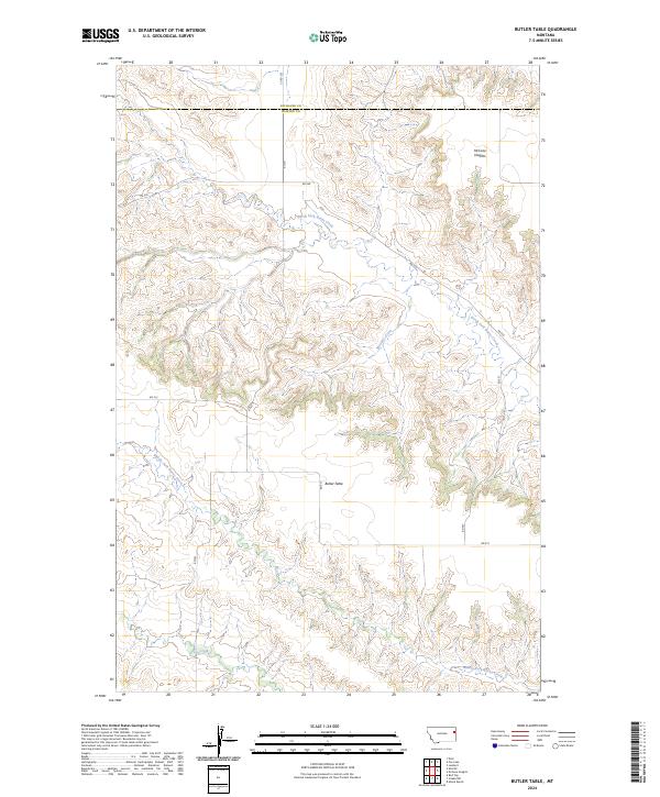
2024 Butler Table
Dawson County, MT
2024 Circle Reservoir
Dawson County, MT
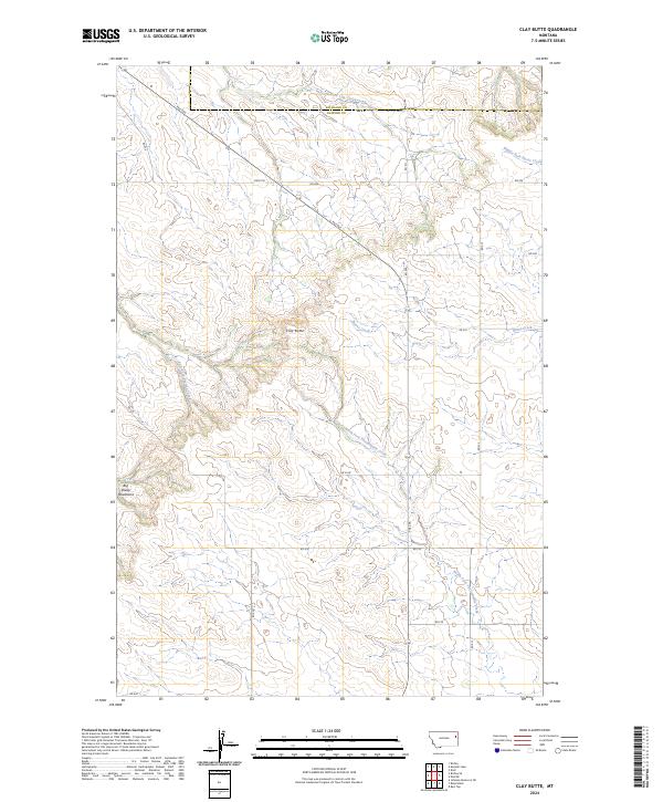
2024 Clay Butte
Dawson County, MT
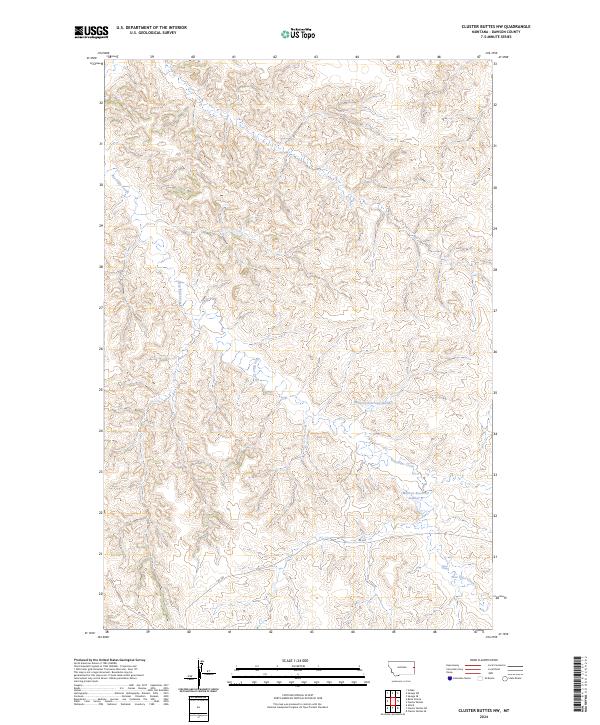
2024 Cluster Buttes NW
Dawson County, MT
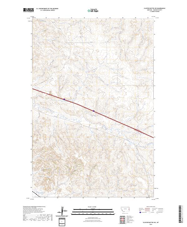
2024 Cluster Buttes SW
Dawson County, MT
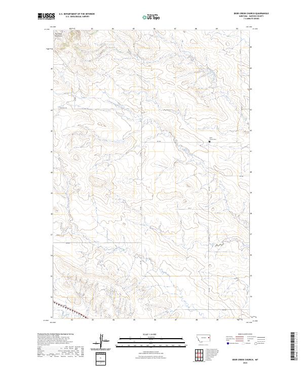
2024 Deer Creek Church
Dawson County, MT
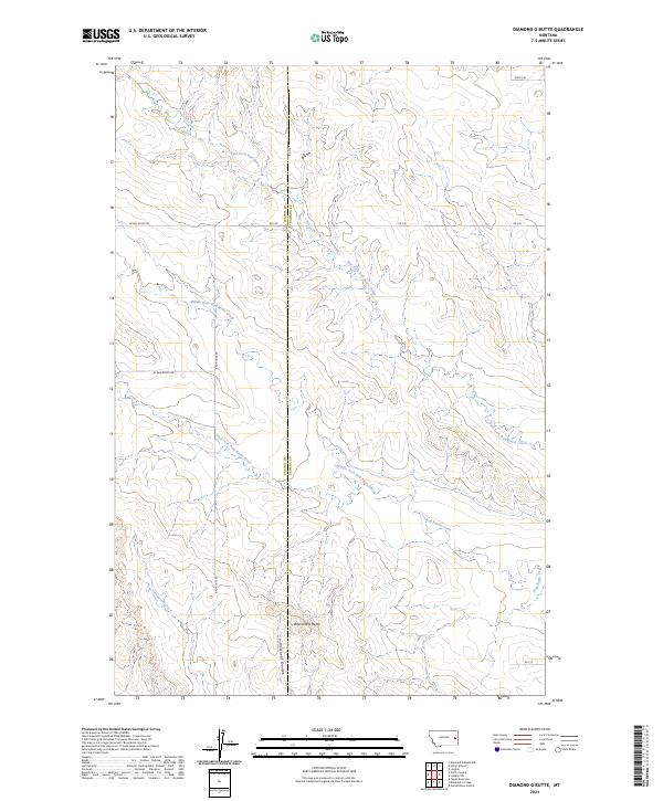
2024 Diamond G Butte
Dawson County, MT
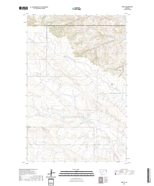
2024 Enid SE
Dawson County, MT
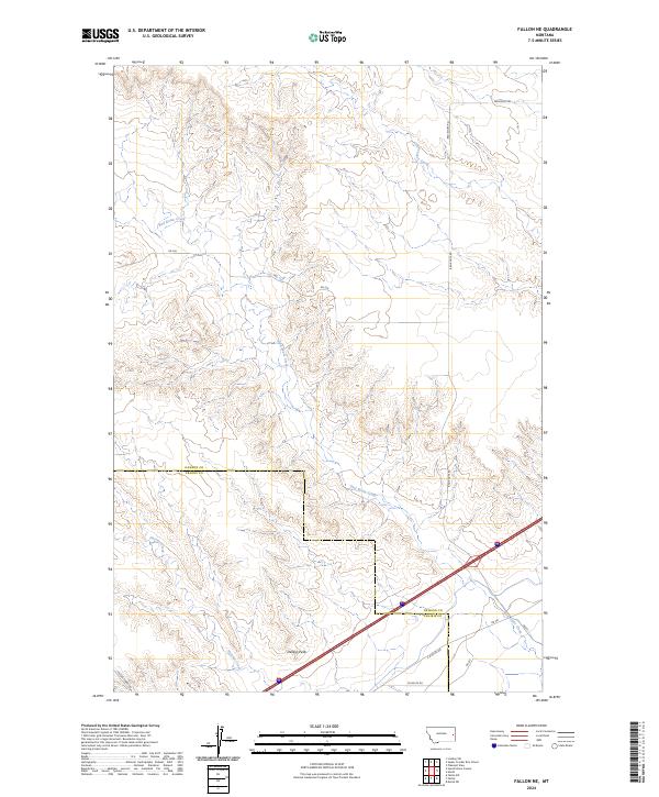
2024 Fallon NE
Dawson County, MT
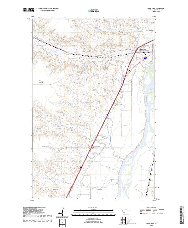
2024 Forest Park
Dawson County, MT
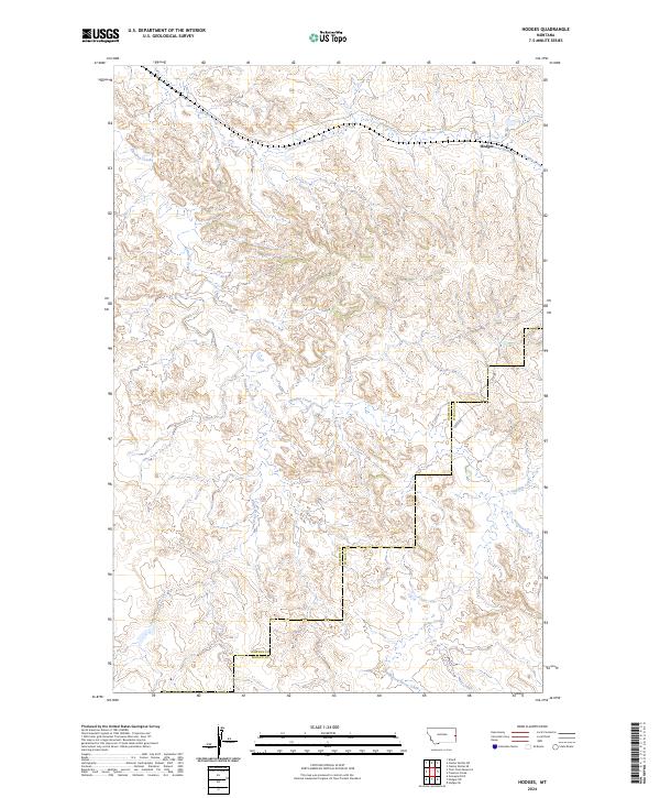
2024 Hodges
Dawson County, MT
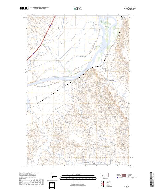
2024 Hoyt
Dawson County, MT
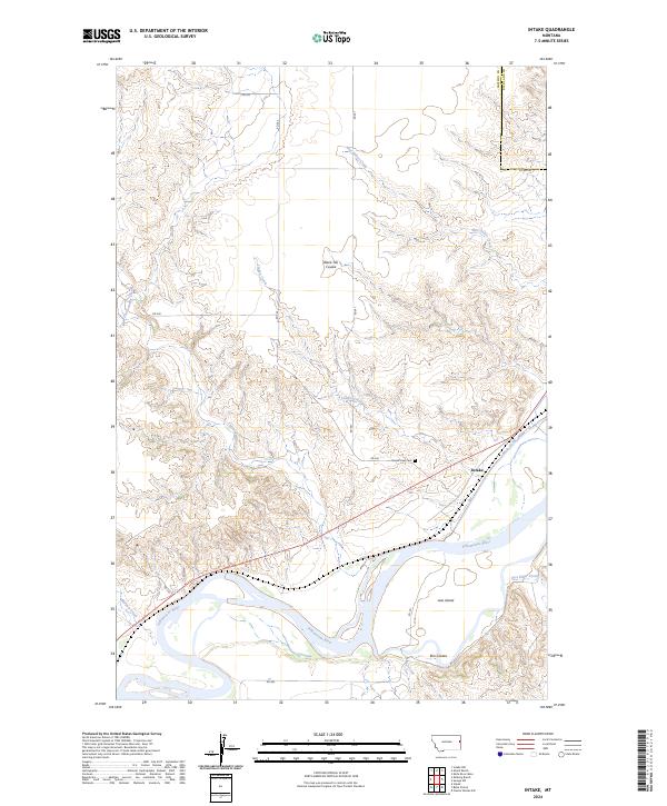
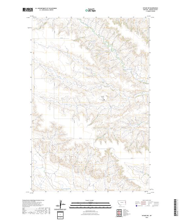
2024 Intake
Dawson County, MT
2024 Intake NW
Dawson County, MT
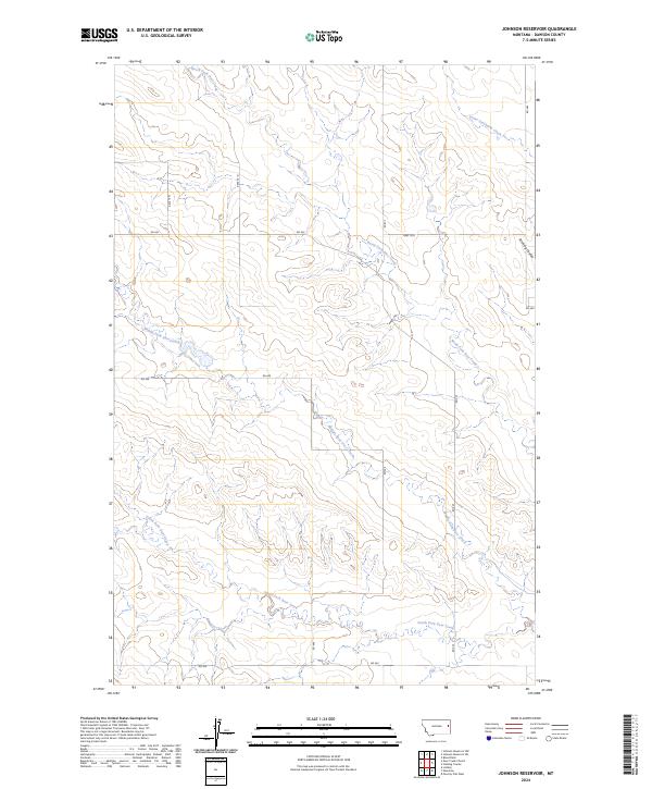
2024 Johnson Reservoir
Dawson County, MT
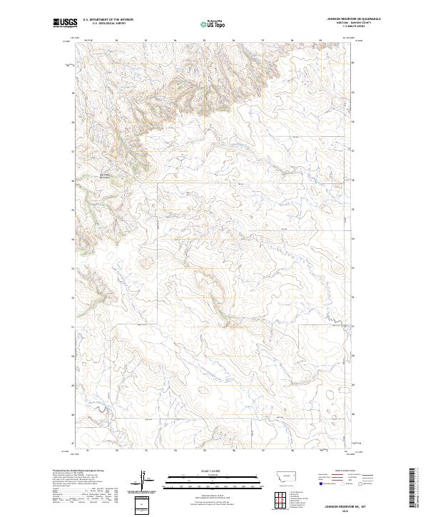
2024 Johnson Reservoir NE
Dawson County, MT
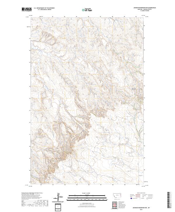
2024 Johnson Reservoir NW
Dawson County, MT
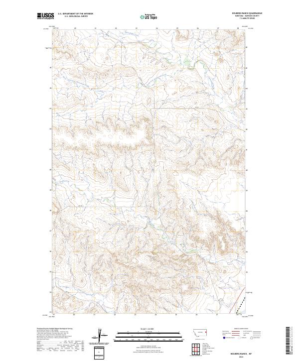
2024 Kolberg Ranch
Dawson County, MT
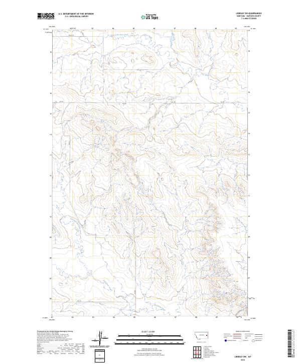
2024 Lindsay SW
Dawson County, MT
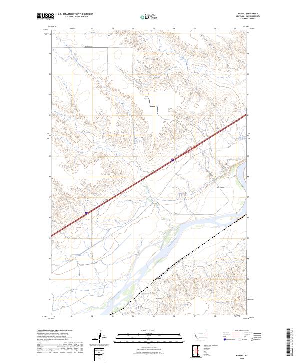
2024 Marsh
Dawson County, MT
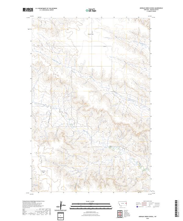
2024 Morgan Creek School
Dawson County, MT
2024 Olson Coulee North
Dawson County, MT
2024 Olson Coulee South
Dawson County, MT
2024 Pleasant View
Dawson County, MT
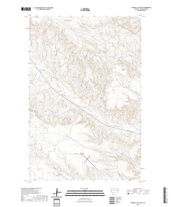
2024 Poverty Flat East
Dawson County, MT
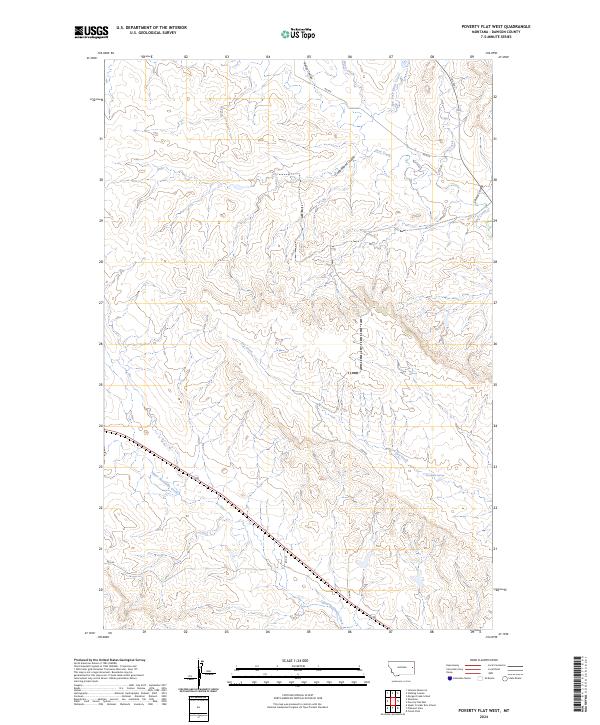
2024 Poverty Flat West
Dawson County, MT
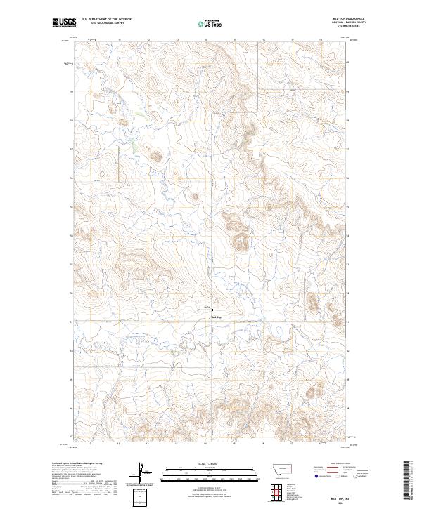
2024 Red Top
Dawson County, MT
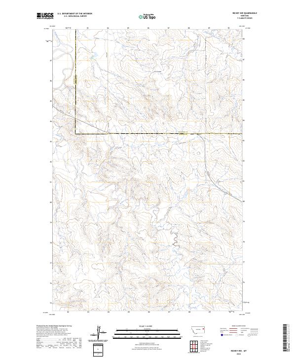
2024 Richey NW
Dawson County, MT
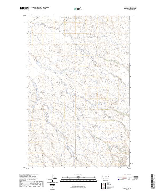
2024 Richey SE
Dawson County, MT
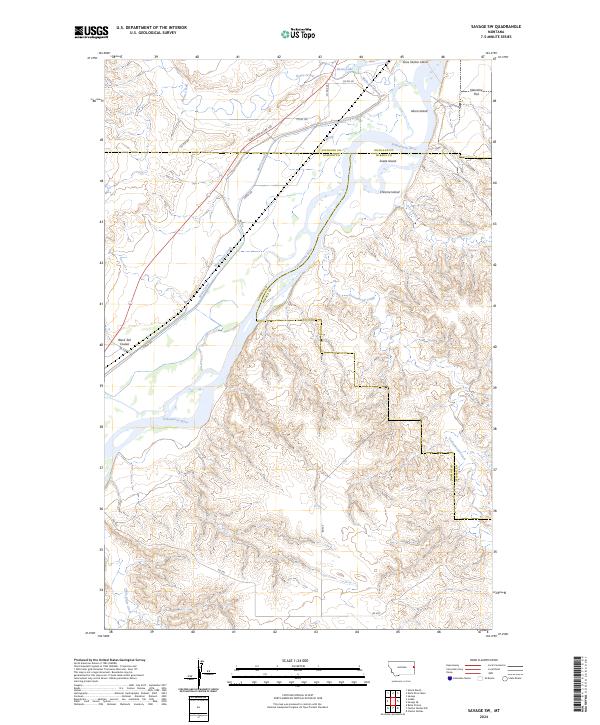
2024 Savage SW
Dawson County, MT
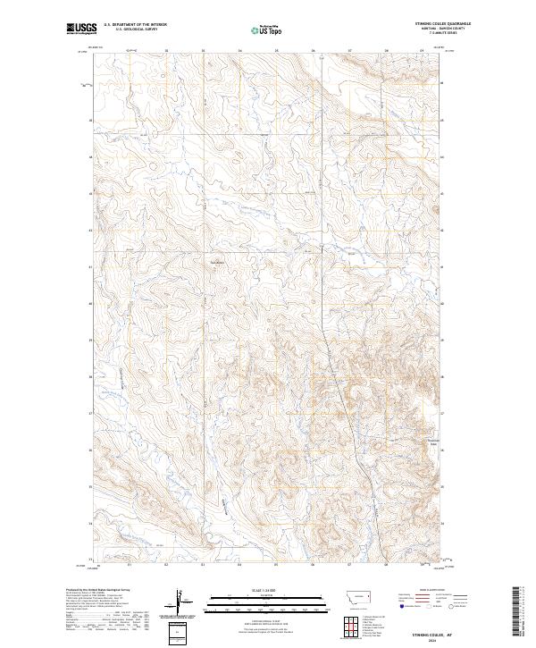
2024 Stinking Coulee
Dawson County, MT
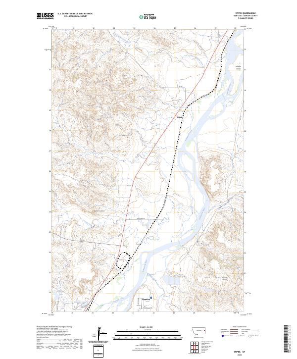
2024 Stipek
Dawson County, MT
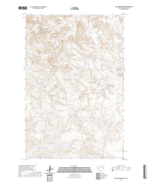
2024 Twin Forks Reservoir
Dawson County, MT
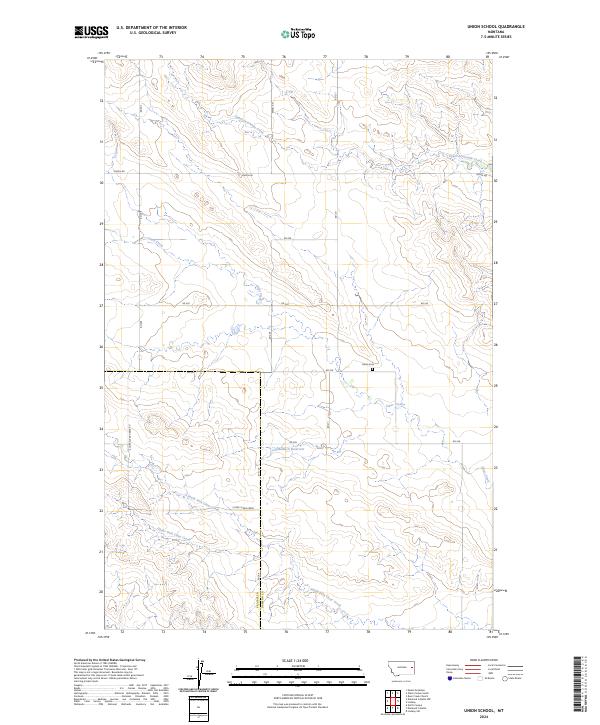
2024 Union School
Dawson County, MT
2024 Upper Cracker Box School
Dawson County, MT
2024 Upper Magpie Reservoir
Dawson County, MT
2024 Woodrow
Dawson County, MT