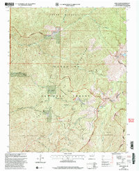
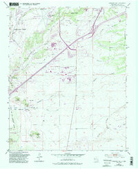
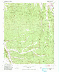
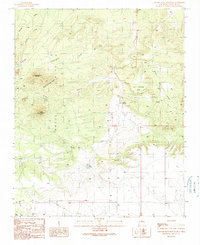
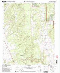
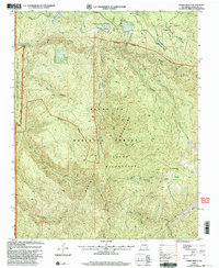
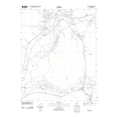
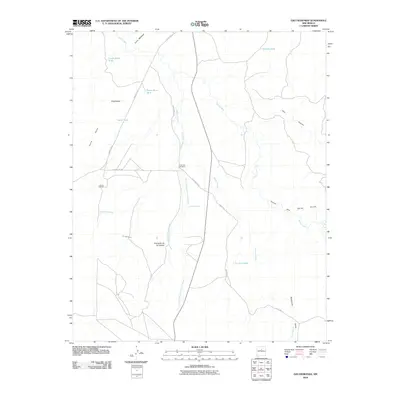
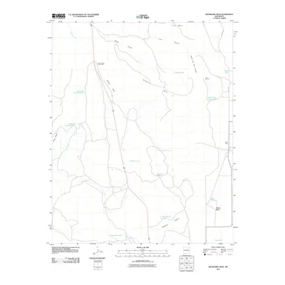
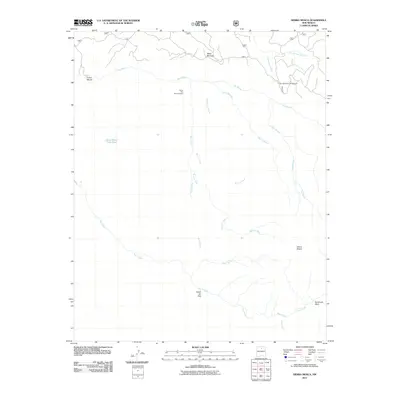
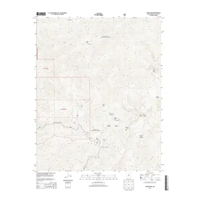
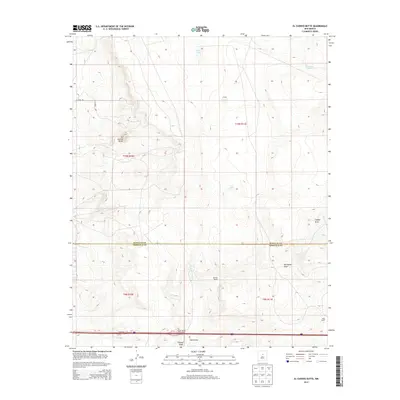
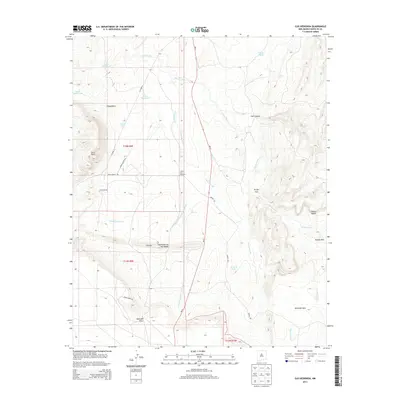
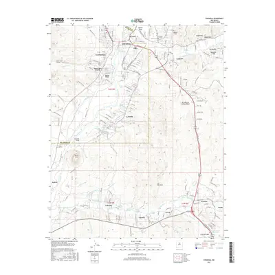
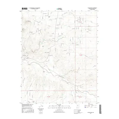
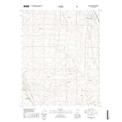
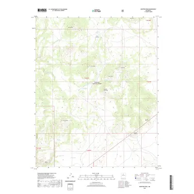
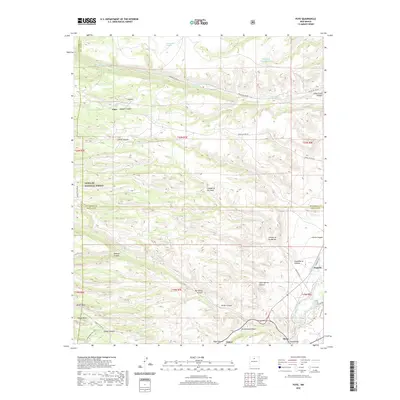
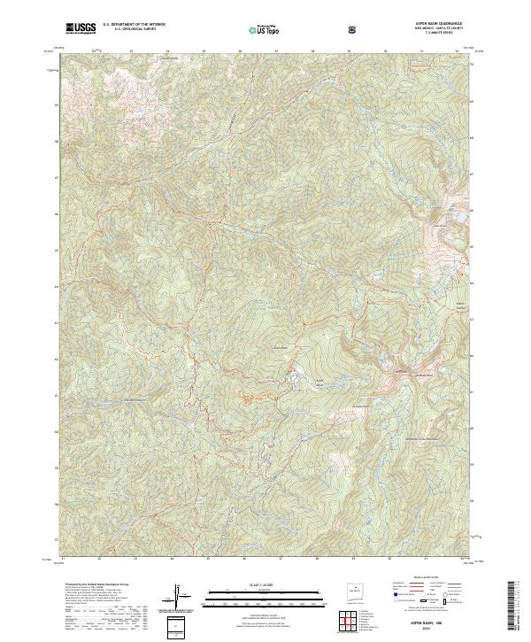
2002 Map of Aspen Basin
USGS Topo · Published 2003About this map
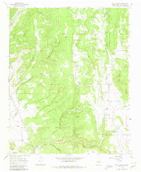
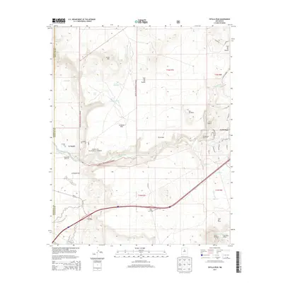
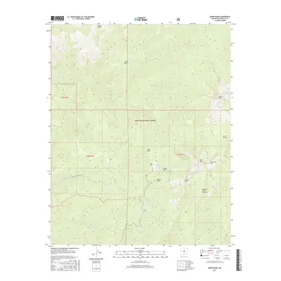
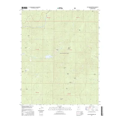
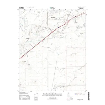
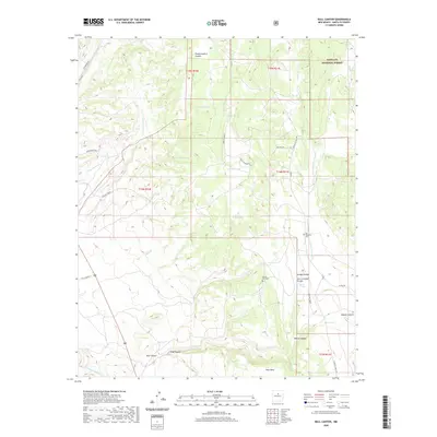
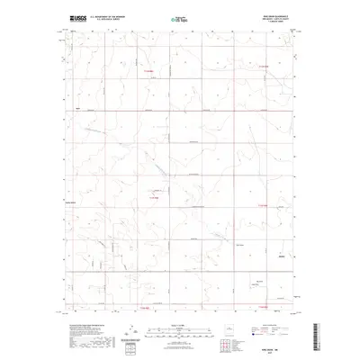
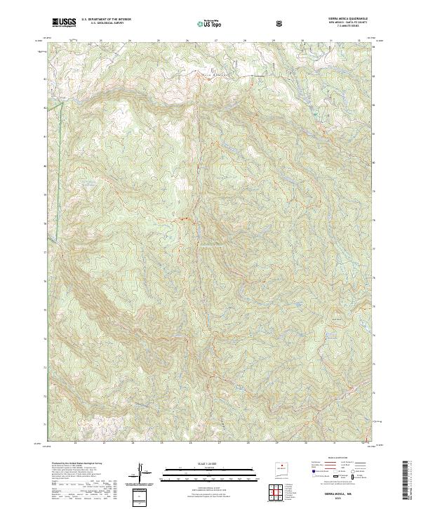
Santa Fe Mountains define this high-altitude landscape where the Santa Fe National Forest meets the protected reaches of the Pecos Wilderness. The map highlights a complex network of recreational and historical boundaries, including the Juan de Gabaldon Grant and the Nambe Indian Reservation Boundary. High peaks such as Santa Fe Baldy and Lake Peak tower over glacial features like Katherine Lake and Nambe Lake. Evidence of earlier land use appears at Aspen Ranch (Aband), while modern recreation is represented by the Santa Fe Ski Basin and the Norski Cross-Country Ski Track. This edition shows how the headwaters of the Santa Fe River and Tesuque Creek drain the western slopes, with several established paths like the Windsor Trail and Bear Wallow Trail connecting the ridges and canyons.
Find a feature on this map
40 named features on this map. Tap any name to fly to it.
Don’t see what you’re looking for? This feature index may not catch every label — zoom into the map to look around manually.
Map Details
Editions of this 2002 Aspen Basin Map
This is the sole edition of this map. No revisions or reprints were ever made.
Historical Maps of Santa Fe County Through Time
128 maps found
1892 Santa Clara
Santa Fe County, NM

1951 Turquoise Hill
Santa Fe County, NM
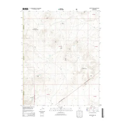
1952 Montoso Peak
Santa Fe County, NM
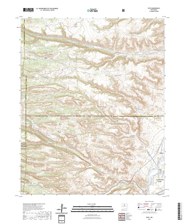
1952 Puye
Santa Fe County, NM
1952 Turquoise Hill
Santa Fe County, NM
1953 Aspen Basin
Santa Fe County, NM
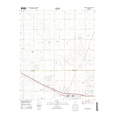
1953 Espanola
Santa Fe County, NM
1953 Espanola
Santa Fe County, NM
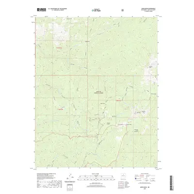
1953 Horcado Ranch
Santa Fe County, NM
1953 Mc Clure Reservoir
Santa Fe County, NM
1953 Sierra Mosca
Santa Fe County, NM
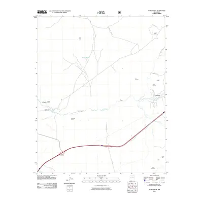
1953 Tetilla Peak
Santa Fe County, NM
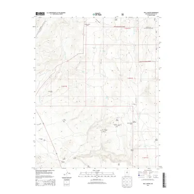
1966 Bull Canyon
Santa Fe County, NM
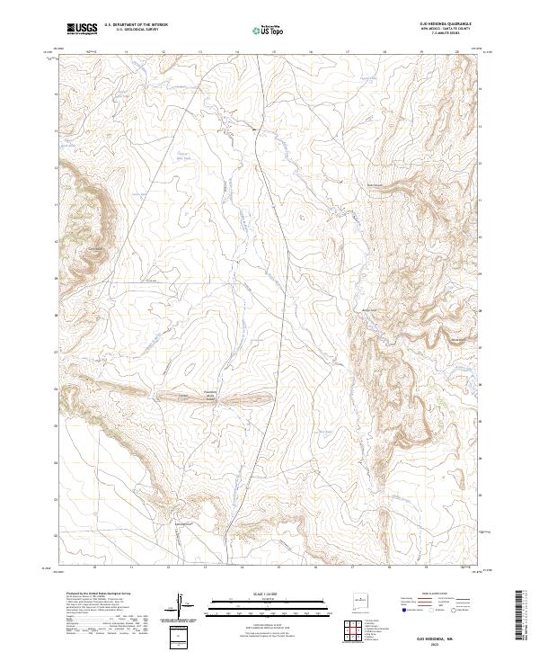
1966 Ojo Hedionda
Santa Fe County, NM
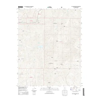
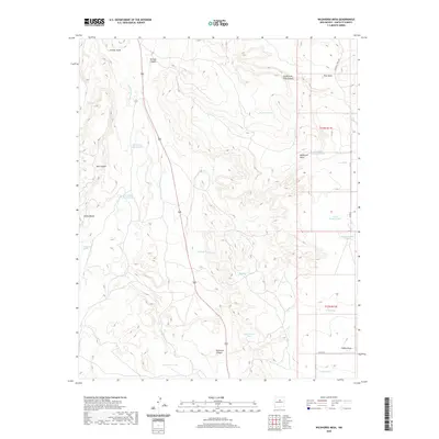
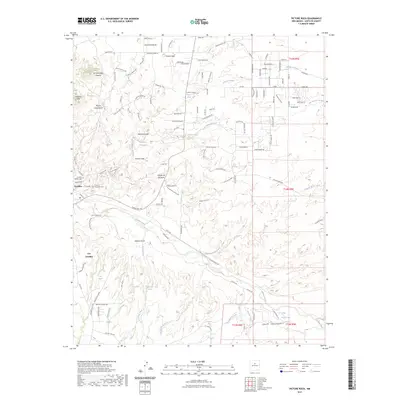
1966 Wildhorse Mesa
Santa Fe County, NM

1984 Espanola
Santa Fe County, NM
1986 King Draw
Santa Fe County, NM
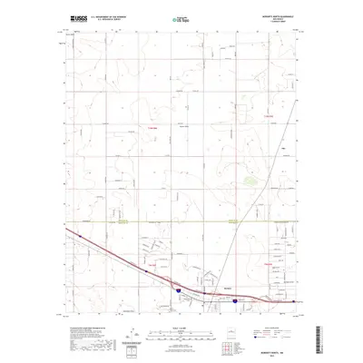
1986 Moriarty North
Santa Fe County, NM
1990 Captain Davis Mountain
Santa Fe County, NM

1990 El Cuervo Butte
Santa Fe County, NM

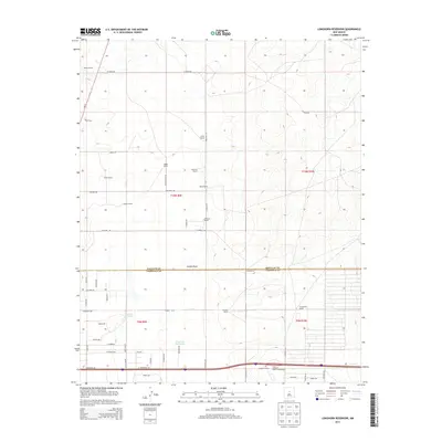
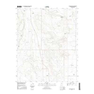
1990 Longhorn Reservoir
Santa Fe County, NM
1990 Picture Rock
Santa Fe County, NM
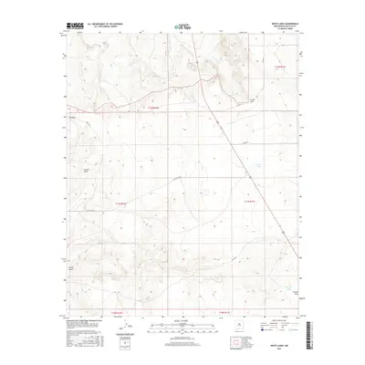
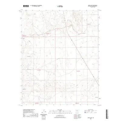
1990 White Lakes
Santa Fe County, NM
2002 Aspen Basin
Santa Fe County, NM
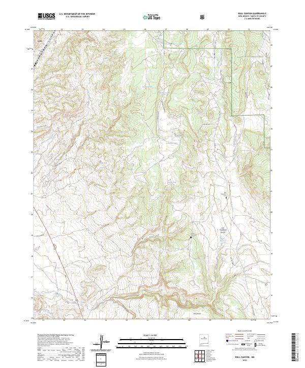
2002 Bull Canyon
Santa Fe County, NM

2002 Espanola
Santa Fe County, NM
2002 Horcado Ranch
Santa Fe County, NM
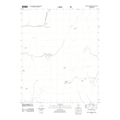
2002 Mc Clure Reservoir
Santa Fe County, NM
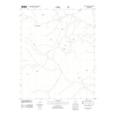
2002 Montoso Peak
Santa Fe County, NM

2002 Puye
Santa Fe County, NM
2002 Sierra Mosca
Santa Fe County, NM
2002 Tetilla Peak
Santa Fe County, NM

2002 Turquoise Hill
Santa Fe County, NM
2010 Captain Davis Mountain
Santa Fe County, NM
2010 El Cuervo Butte
Santa Fe County, NM
2010 Espanola
Santa Fe County, NM
2010 King Draw
Santa Fe County, NM
2010 Longhorn Reservoir
Santa Fe County, NM
2010 Moriarty North
Santa Fe County, NM
2010 Ojo Hedionda
Santa Fe County, NM
2010 Picture Rock
Santa Fe County, NM
2010 Turquoise Hill
Santa Fe County, NM
2010 White Lakes
Santa Fe County, NM
2010 Wildhorse Mesa
Santa Fe County, NM
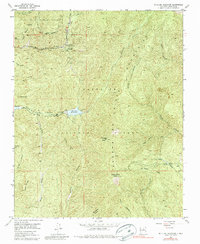
2011 Aspen Basin
Santa Fe County, NM
2011 Bull Canyon
Santa Fe County, NM
2011 Horcado Ranch
Santa Fe County, NM
2011 McClure Reservoir
Santa Fe County, NM
2011 Montoso Peak
Santa Fe County, NM
2011 Puye
Santa Fe County, NM
2011 Sierra Mosca
Santa Fe County, NM
2011 Tetilla Peak
Santa Fe County, NM
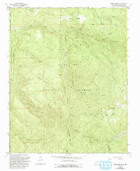
2013 Aspen Basin
Santa Fe County, NM
2013 Bull Canyon
Santa Fe County, NM
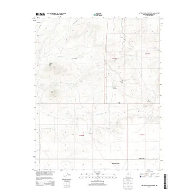
2013 Captain Davis Mountain
Santa Fe County, NM
2013 El Cuervo Butte
Santa Fe County, NM
2013 Espanola
Santa Fe County, NM
2013 Horcado Ranch
Santa Fe County, NM
2013 King Draw
Santa Fe County, NM
2013 Longhorn Reservoir
Santa Fe County, NM
2013 McClure Reservoir
Santa Fe County, NM
2013 Montoso Peak
Santa Fe County, NM
2013 Moriarty North
Santa Fe County, NM
2013 Ojo Hedionda
Santa Fe County, NM
2013 Picture Rock
Santa Fe County, NM
2013 Puye
Santa Fe County, NM
2013 Sierra Mosca
Santa Fe County, NM
2013 Tetilla Peak
Santa Fe County, NM
2013 Turquoise Hill
Santa Fe County, NM
2013 White Lakes
Santa Fe County, NM
2013 Wildhorse Mesa
Santa Fe County, NM
2017 Aspen Basin
Santa Fe County, NM
2017 Bull Canyon
Santa Fe County, NM
2017 Captain Davis Mountain
Santa Fe County, NM
2017 El Cuervo Butte
Santa Fe County, NM
2017 Espanola
Santa Fe County, NM
2017 Horcado Ranch
Santa Fe County, NM
2017 King Draw
Santa Fe County, NM
2017 Longhorn Reservoir
Santa Fe County, NM
2017 McClure Reservoir
Santa Fe County, NM
2017 Montoso Peak
Santa Fe County, NM
2017 Moriarty North
Santa Fe County, NM
2017 Ojo Hedionda
Santa Fe County, NM
2017 Picture Rock
Santa Fe County, NM
2017 Puye
Santa Fe County, NM
2017 Sierra Mosca
Santa Fe County, NM
2017 Tetilla Peak
Santa Fe County, NM
2017 Turquoise Hill
Santa Fe County, NM
2017 White Lakes
Santa Fe County, NM
2017 Wildhorse Mesa
Santa Fe County, NM
2020 Aspen Basin
Santa Fe County, NM
2020 Bull Canyon
Santa Fe County, NM
2020 Captain Davis Mountain
Santa Fe County, NM
2020 El Cuervo Butte
Santa Fe County, NM
2020 Espanola
Santa Fe County, NM
2020 Horcado Ranch
Santa Fe County, NM
2020 King Draw
Santa Fe County, NM
2020 Longhorn Reservoir
Santa Fe County, NM
2020 McClure Reservoir
Santa Fe County, NM
2020 Montoso Peak
Santa Fe County, NM
2020 Moriarty North
Santa Fe County, NM
2020 Ojo Hedionda
Santa Fe County, NM
2020 Picture Rock
Santa Fe County, NM
2020 Puye
Santa Fe County, NM
2020 Sierra Mosca
Santa Fe County, NM
2020 Tetilla Peak
Santa Fe County, NM
2020 Turquoise Hill
Santa Fe County, NM
2020 White Lakes
Santa Fe County, NM
2020 Wildhorse Mesa
Santa Fe County, NM
2023 Aspen Basin
Santa Fe County, NM
2023 Bull Canyon
Santa Fe County, NM
2023 Captain Davis Mountain
Santa Fe County, NM
2023 El Cuervo Butte
Santa Fe County, NM
2023 Espanola
Santa Fe County, NM
2023 Horcado Ranch
Santa Fe County, NM
2023 King Draw
Santa Fe County, NM
2023 Longhorn Reservoir
Santa Fe County, NM
2023 McClure Reservoir
Santa Fe County, NM
2023 Montoso Peak
Santa Fe County, NM
2023 Moriarty North
Santa Fe County, NM
2023 Ojo Hedionda
Santa Fe County, NM
2023 Picture Rock
Santa Fe County, NM
2023 Puye
Santa Fe County, NM
2023 Sierra Mosca
Santa Fe County, NM
2023 Tetilla Peak
Santa Fe County, NM
2023 Turquoise Hill
Santa Fe County, NM
2023 White Lakes
Santa Fe County, NM
2023 Wildhorse Mesa
Santa Fe County, NM