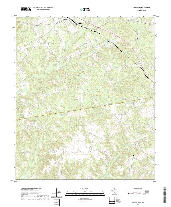
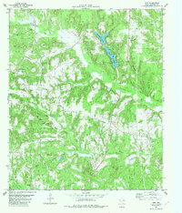
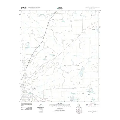
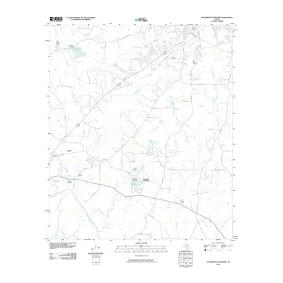
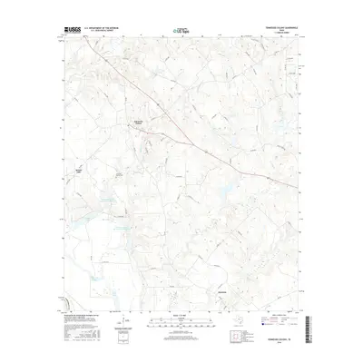
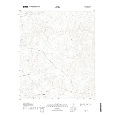
2022 Map of Elkhart Creek
USGS Topo · Published 2022About this map
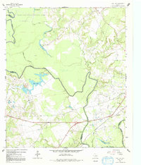
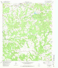
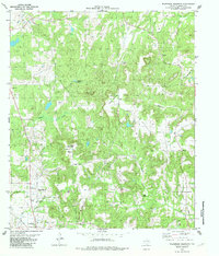
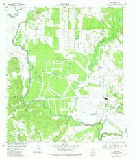
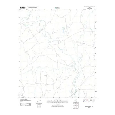
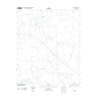
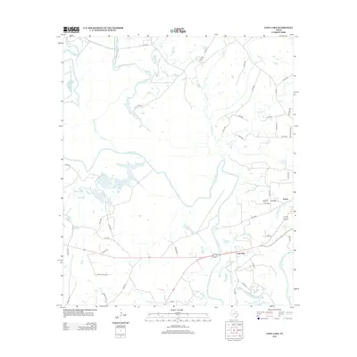
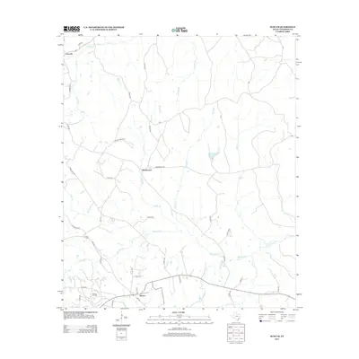
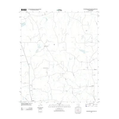
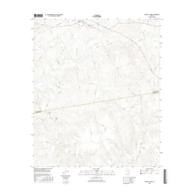
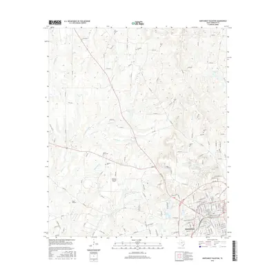
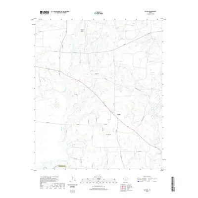
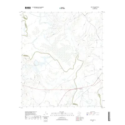
Elkhart sits at the northern edge of this landscape, where the local road network transitions into the wooded creek bottoms of East Texas. The terrain is defined by the extensive drainage systems of Box Cr and Big Elkhart Creek, which converge as they flow toward the southwest. For genealogists and local historians, the map is particularly useful for locating family burial grounds including Pilgrim Cem, Woodard Cem, Anthim Cem, and Parker Cem, often situated on higher ground above the seasonally wet tributaries. The southern half of the map marks the county line between Anderson Co and Houston Co, a boundary that intersects Elkhart Creek Springs. This modern survey details the persistent rural character of the region, documenting numerous county roads that continue to follow the natural contours of the various creek branches.
Find a feature on this map
66 named features on this map. Tap any name to fly to it.
Don’t see what you’re looking for? This feature index may not catch every label — zoom into the map to look around manually.
Map Details
Editions of this 2022 Elkhart Creek Map
This is the sole edition of this map. No revisions or reprints were ever made.
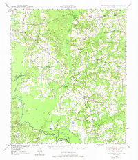
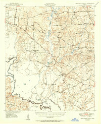
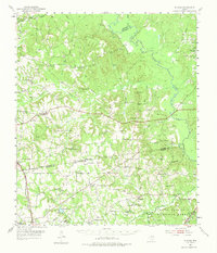
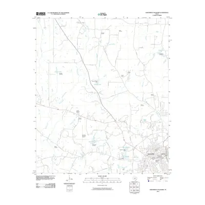
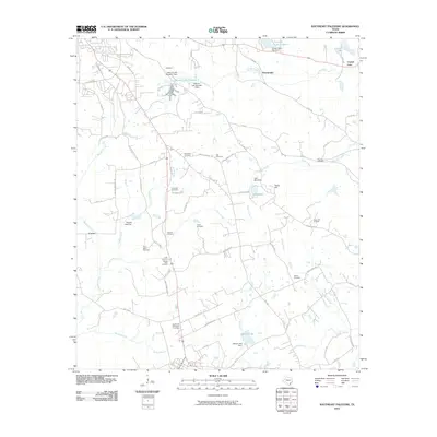
Historical Maps of Elkhart Through Time
93 maps found
1949 Tennessee Colony
Anderson County, TX
1950 Tennessee Colony
Anderson County, TX
1952 Slocum
Anderson County, TX
1964 Long Lake
Anderson County, TX
1982 Blackfoot
Anderson County, TX
1982 Cayuga
Anderson County, TX
1982 Denson Springs
Anderson County, TX
1982 Elkhart Creek
Anderson County, TX
1982 Indian Lake
Anderson County, TX
1982 Northeast Palestine
Anderson County, TX
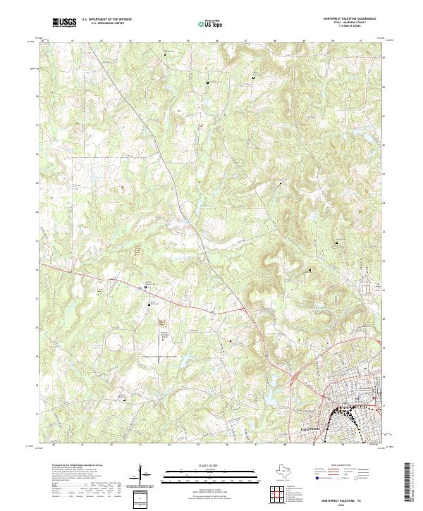
1982 Northwest Palestine
Anderson County, TX
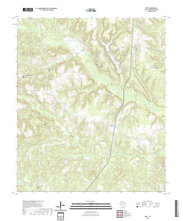
1982 Pert
Anderson County, TX
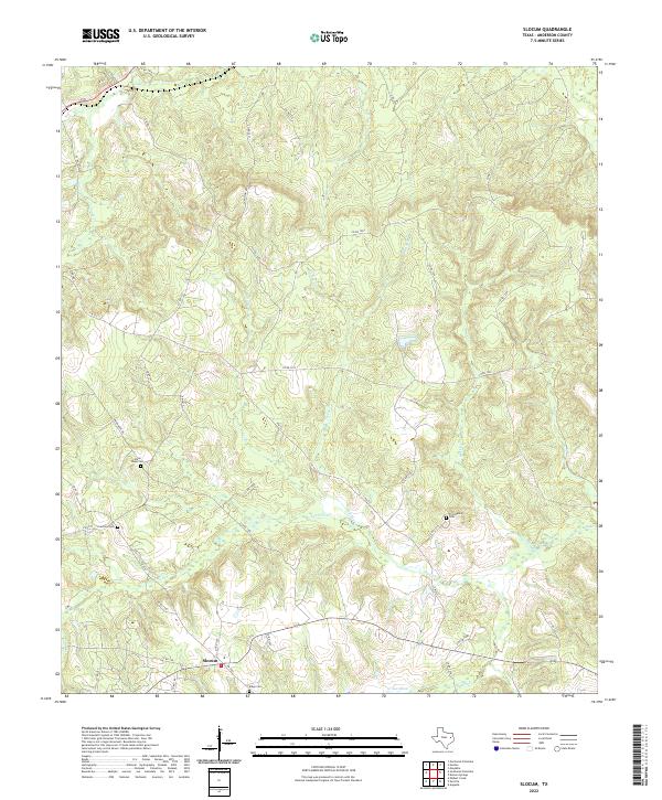
1982 Slocum
Anderson County, TX
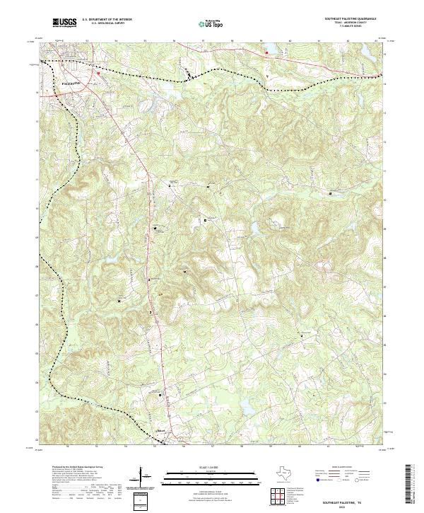
1982 Southeast Palestine
Anderson County, TX
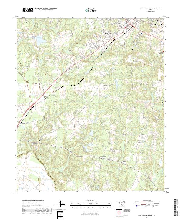
1982 Southwest Palestine
Anderson County, TX

1982 Tennessee Colony
Anderson County, TX
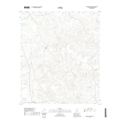
1982 Wilkerson Mountain
Anderson County, TX
1982 Yard
Anderson County, TX
2010 Blackfoot
Anderson County, TX
2010 Cayuga
Anderson County, TX
2010 Denson Springs
Anderson County, TX
2010 Elkhart Creek
Anderson County, TX
2010 Indian Lake
Anderson County, TX
2010 Long Lake
Anderson County, TX
2010 Northeast Palestine
Anderson County, TX
2010 Northwest Palestine
Anderson County, TX
2010 Pert
Anderson County, TX

2010 Slocum
Anderson County, TX
2010 Southeast Palestine
Anderson County, TX
2010 Southwest Palestine
Anderson County, TX
2010 Tennessee Colony
Anderson County, TX
2010 Wilkerson Mountain
Anderson County, TX

2010 Yard
Anderson County, TX
2013 Blackfoot
Anderson County, TX
2013 Cayuga
Anderson County, TX
2013 Denson Springs
Anderson County, TX
2013 Elkhart Creek
Anderson County, TX
2013 Indian Lake
Anderson County, TX
2013 Long Lake
Anderson County, TX
2013 Northeast Palestine
Anderson County, TX
2013 Northwest Palestine
Anderson County, TX
2013 Pert
Anderson County, TX
2013 Slocum
Anderson County, TX
2013 Southeast Palestine
Anderson County, TX
2013 Southwest Palestine
Anderson County, TX
2013 Tennessee Colony
Anderson County, TX
2013 Wilkerson Mountain
Anderson County, TX

2013 Yard
Anderson County, TX
2016 Blackfoot
Anderson County, TX
2016 Cayuga
Anderson County, TX
2016 Denson Springs
Anderson County, TX
2016 Elkhart Creek
Anderson County, TX
2016 Indian Lake
Anderson County, TX
2016 Long Lake
Anderson County, TX
2016 Northeast Palestine
Anderson County, TX
2016 Northwest Palestine
Anderson County, TX
2016 Pert
Anderson County, TX

2016 Slocum
Anderson County, TX
2016 Southeast Palestine
Anderson County, TX
2016 Southwest Palestine
Anderson County, TX
2016 Tennessee Colony
Anderson County, TX
2016 Wilkerson Mountain
Anderson County, TX
2016 Yard
Anderson County, TX
2019 Blackfoot
Anderson County, TX
2019 Cayuga
Anderson County, TX
2019 Denson Springs
Anderson County, TX
2019 Elkhart Creek
Anderson County, TX
2019 Indian Lake
Anderson County, TX
2019 Long Lake
Anderson County, TX
2019 Northeast Palestine
Anderson County, TX
2019 Northwest Palestine
Anderson County, TX
2019 Pert
Anderson County, TX
2019 Slocum
Anderson County, TX
2019 Southeast Palestine
Anderson County, TX
2019 Southwest Palestine
Anderson County, TX
2019 Tennessee Colony
Anderson County, TX
2019 Wilkerson Mountain
Anderson County, TX
2019 Yard
Anderson County, TX
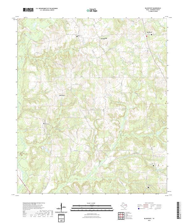
2022 Blackfoot
Anderson County, TX
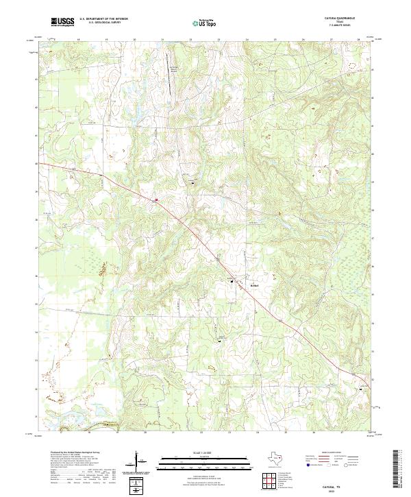
2022 Cayuga
Anderson County, TX
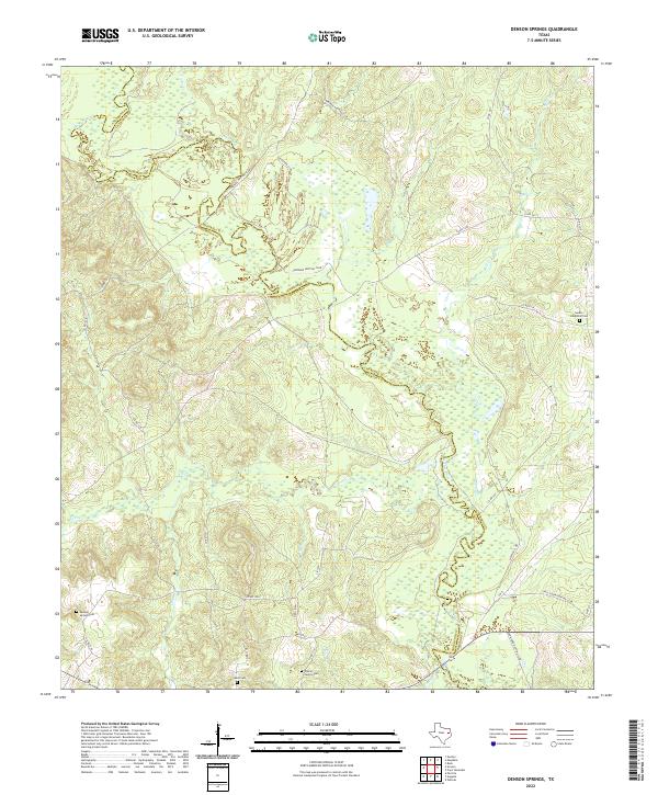
2022 Denson Springs
Anderson County, TX
2022 Elkhart Creek
Anderson County, TX
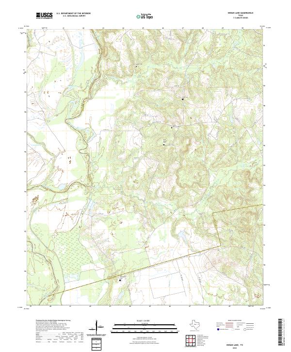
2022 Indian Lake
Anderson County, TX
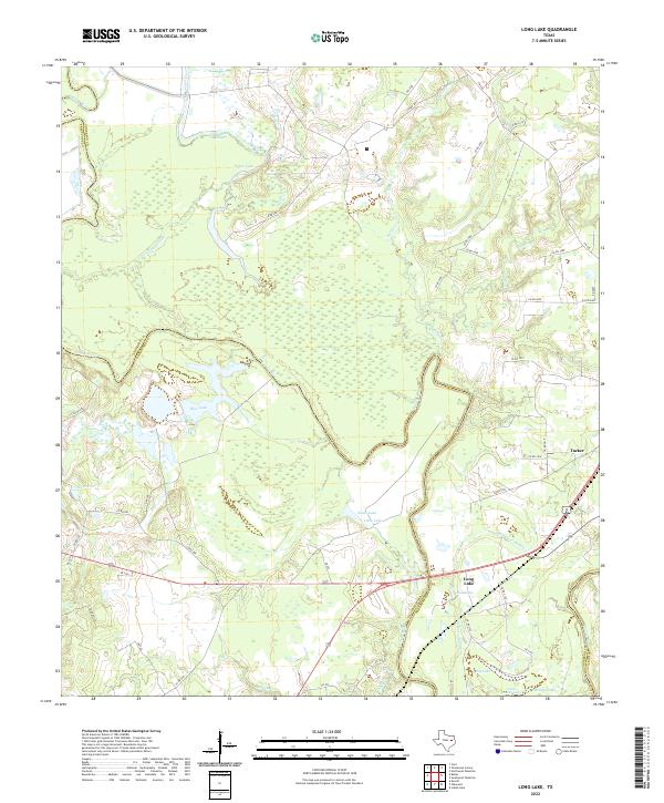
2022 Long Lake
Anderson County, TX
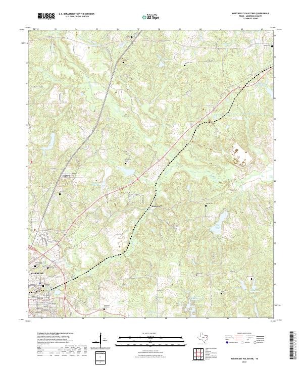
2022 Northeast Palestine
Anderson County, TX
2022 Northwest Palestine
Anderson County, TX
2022 Pert
Anderson County, TX
2022 Slocum
Anderson County, TX
2022 Southeast Palestine
Anderson County, TX
2022 Southwest Palestine
Anderson County, TX
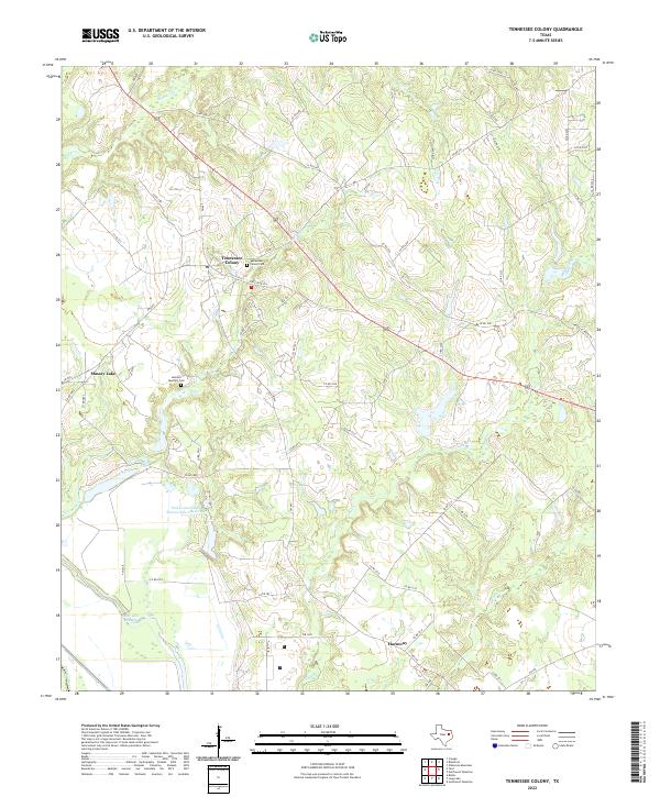
2022 Tennessee Colony
Anderson County, TX
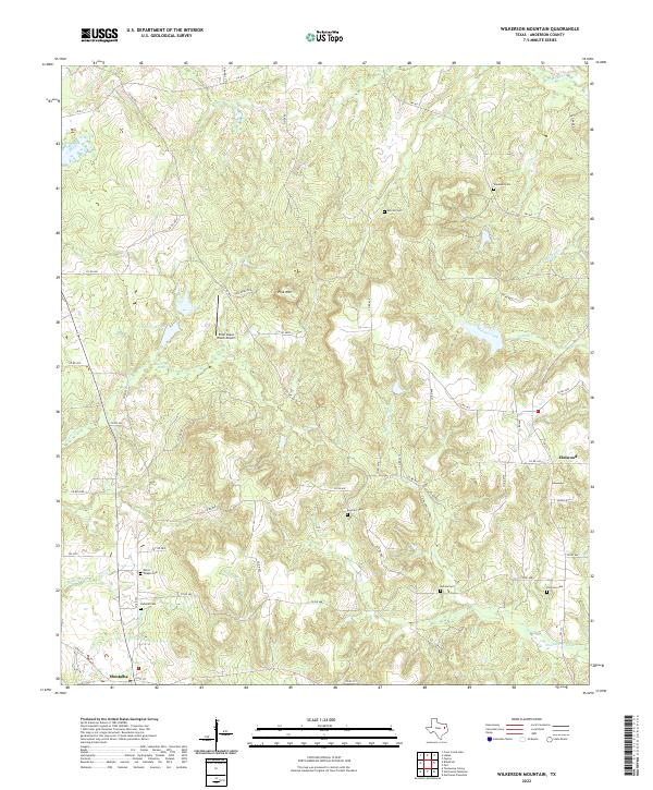
2022 Wilkerson Mountain
Anderson County, TX
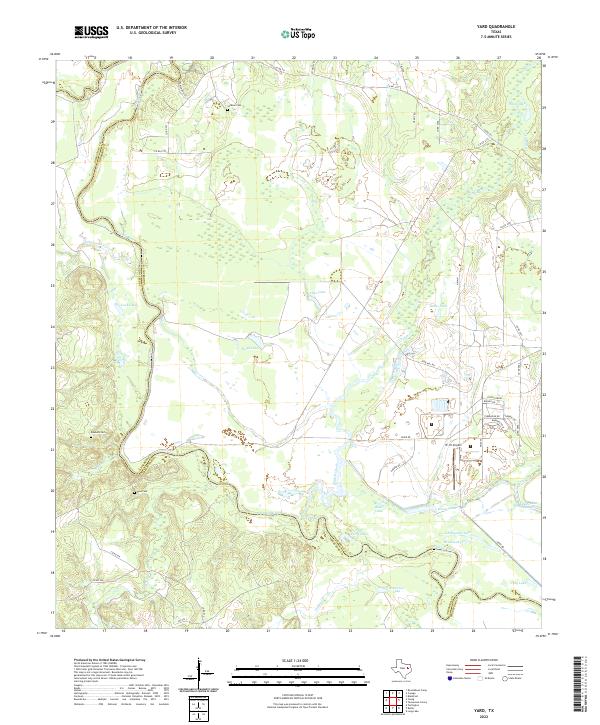
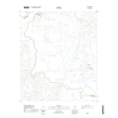
2022 Yard
Anderson County, TX