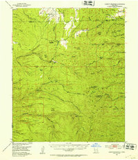
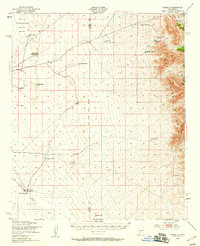
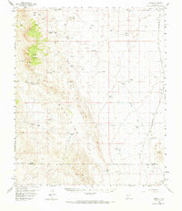
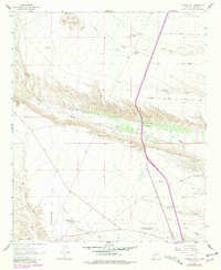
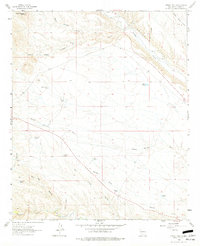
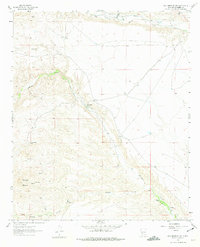
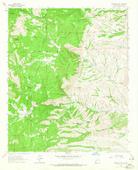
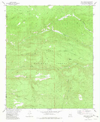
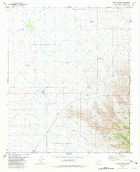
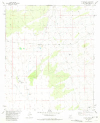
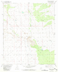
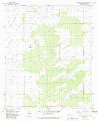
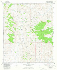
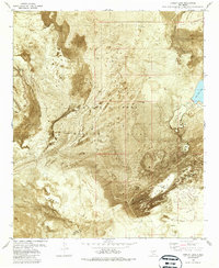
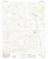
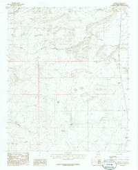
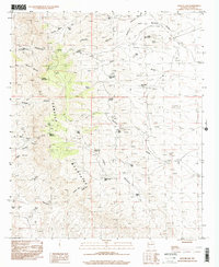
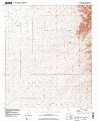
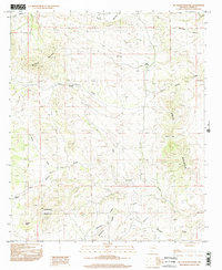
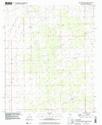
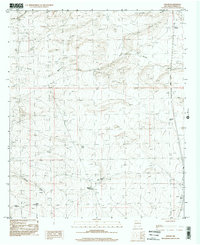
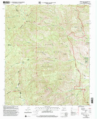
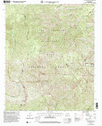
1949 Map of Lookout Mountain
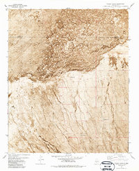
USGS Topo · Published 1953This historical map portrays the area of Lookout Mountain in 1949, primarily covering Sierra County as well as portions of Catron County. Featuring a scale of 1:62500, this map provides a highly detailed snapshot of the terrain, roads, buildings, counties, and historical landmarks in the Lookout Mountain region at the time. Published in 1953, it is one of 3 known editions of this map due to revisions or reprints.
Find a feature on this map
85 named features on this map. Tap any name to fly to it.
Don’t see what you’re looking for? This feature index may not catch every label — zoom into the map to look around manually.
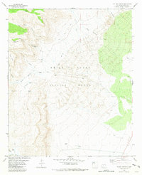
Map Details
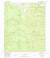
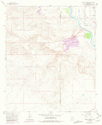
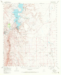
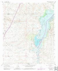
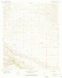
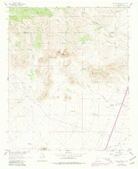
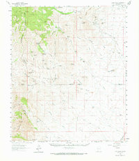
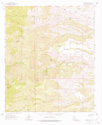
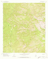
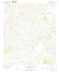
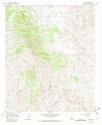
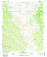
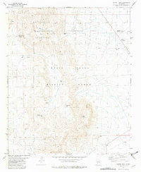
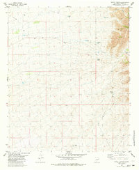
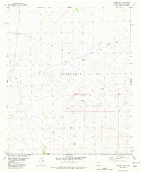
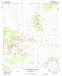
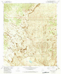
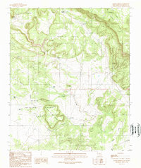
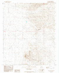
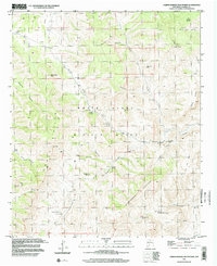
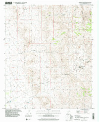
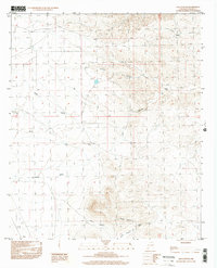
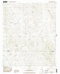
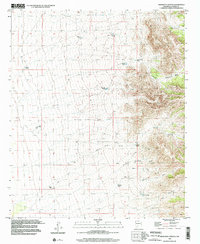
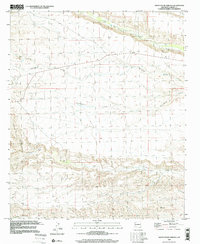
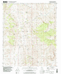
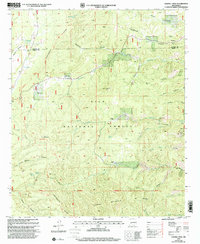
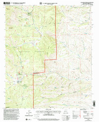
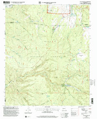
Editions of this 1949 Lookout Mountain Map
Historical Maps of Catron County Through Time
113 maps found

1916 Salinas Peak
Sierra County, NM

1947 Capitol Peak
Sierra County, NM
1948 Black Top Mountain
Sierra County, NM

1948 Chicken Well
Sierra County, NM

1948 Lumley Lake
Sierra County, NM

1948 Malpais Well
Sierra County, NM
1948 Salinas Peak
Sierra County, NM
1948 Sowell
Sierra County, NM
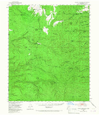
1949 Lookout Mountain
Sierra County, NM
1958 Arroyo Cuervo
Sierra County, NM
1959 Engle
Sierra County, NM
1959 Upham
Sierra County, NM
1961 Black Bluffs
Sierra County, NM
1961 Clark Spring Canyon
Sierra County, NM
1961 Crocker
Sierra County, NM

1961 Cuchillo
Sierra County, NM
1961 Huerfano Hill
Sierra County, NM
1961 Lava
Sierra County, NM
1961 Monticello
Sierra County, NM
1961 Nutt
Sierra County, NM
1961 Priest Tank
Sierra County, NM
1961 Romero Canyon
Sierra County, NM
1961 Saladone Tank
Sierra County, NM
1961 Sierra Fijardo
Sierra County, NM

1961 Skute Stone Arroyo
Sierra County, NM
1961 Williamsburg NW
Sierra County, NM
1962 Lake Valley
Sierra County, NM
1963 Apache Peak
Sierra County, NM

1963 Bell Mountain
Sierra County, NM
1963 Reeds Peak
Sierra County, NM
1963 Sugarloaf Peak
Sierra County, NM
1963 Thumb Tank Peak
Sierra County, NM

1963 Victoria Park
Sierra County, NM
1965 Chise
Sierra County, NM
1965 Iron Mountain
Sierra County, NM

1965 Jaralosa Mountain
Sierra County, NM
1981 Baily Points
Sierra County, NM

1981 Big Gyp Mountain
Sierra County, NM
1981 Capitol Peak
Sierra County, NM
1981 Dugout Canyon
Sierra County, NM

1981 Fairview Mountain
Sierra County, NM
1981 Fairview Well
Sierra County, NM
1981 Fence Canyon
Sierra County, NM
1981 Fuller Ranch
Sierra County, NM
1981 Hardscrabble Mountains
Sierra County, NM

1981 Hembrillo Basin
Sierra County, NM
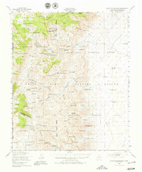
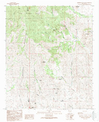
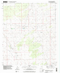
1981 Lookout Mountain
Sierra County, NM
1981 Polecat Tank
Sierra County, NM
1981 Prisor Hill
Sierra County, NM

1981 Prisor Well
Sierra County, NM

1981 Salinas Peak NW
Sierra County, NM
1981 Salinas Peak
Sierra County, NM
1981 Sawmill Peak
Sierra County, NM
1981 Shannon Canyon NW
Sierra County, NM
1981 Shannon Canyon
Sierra County, NM
1981 Sheep Mountain
Sierra County, NM
1981 Strawberry Peak
Sierra County, NM
1981 Sulphur Pass
Sierra County, NM

1981 Taylor Peak
Sierra County, NM
1981 Tip Top Canyon
Sierra County, NM
1981 Upham Hills
Sierra County, NM
1982 Lumley Lake NW
Sierra County, NM
1982 Lumley Lake
Sierra County, NM
1982 Tucson Spring
Sierra County, NM
1985 Alivio
Sierra County, NM
1985 Apache Gap
Sierra County, NM
1985 Cutter
Sierra County, NM

1985 Engle
Sierra County, NM
1985 Mc Clede Mountain
Sierra County, NM
1985 McLeod Tank
Sierra County, NM

1985 Palomas Gap
Sierra County, NM
1985 P A Mountain
Sierra County, NM
1985 Upham
Sierra County, NM
1989 Apache Gap
Sierra County, NM
1989 Jug Canyon
Sierra County, NM

1989 Lake Valley
Sierra County, NM
1989 White Rock Mountain
Sierra County, NM

1995 Jaralosa Mountain
Sierra County, NM

1995 Monticello
Sierra County, NM

1995 Sierra Fijardo
Sierra County, NM

1996 Alivio
Sierra County, NM
1996 Apache Gap
Sierra County, NM
1996 Arroyo Cuervo
Sierra County, NM
1996 Crocker
Sierra County, NM
1996 Cutter
Sierra County, NM
1996 Dugout Canyon
Sierra County, NM

1996 Engle
Sierra County, NM
1996 Hardscrabble Mountains
Sierra County, NM
1996 Hembrillo Basin
Sierra County, NM
1996 Jug Canyon
Sierra County, NM

1996 Lake Valley
Sierra County, NM
1996 Mc Clede Mountain
Sierra County, NM
1996 McLeod Tank
Sierra County, NM

1996 Palomas Gap
Sierra County, NM
1996 Polecat Tank
Sierra County, NM
1996 Prisor Hill
Sierra County, NM

1996 Prisor Well
Sierra County, NM
1996 Shannon Canyon NW
Sierra County, NM
1996 Shannon Canyon
Sierra County, NM
1996 Skute Stone Arroyo
Sierra County, NM
1996 Sulphur Pass
Sierra County, NM

1996 Upham Hills
Sierra County, NM
1996 Upham
Sierra County, NM
1999 Baily Points
Sierra County, NM

1999 Iron Mountain
Sierra County, NM
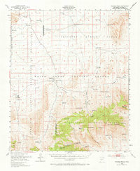
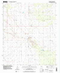
1999 Lookout Mountain
Sierra County, NM
1999 P A Mountain
Sierra County, NM
1999 Reeds Peak
Sierra County, NM
1999 Sawmill Peak
Sierra County, NM
1999 Sugarloaf Peak
Sierra County, NM
1999 Taylor Peak
Sierra County, NM
1999 Victorio Park
Sierra County, NM
1999 White Rock Mountain
Sierra County, NM