
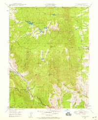
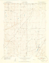
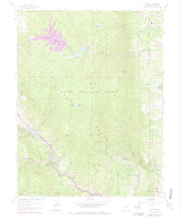
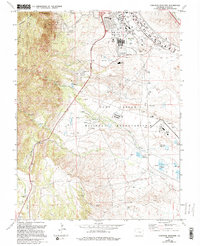
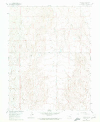
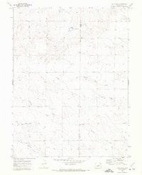
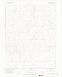
2022 Map of Mount Big Chief
USGS Topo · Published 2022About this map
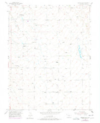
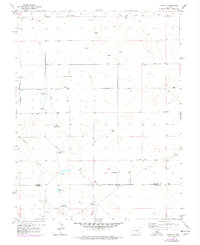
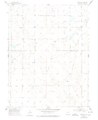
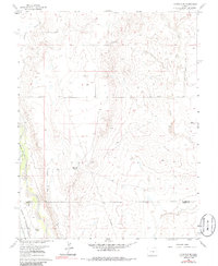
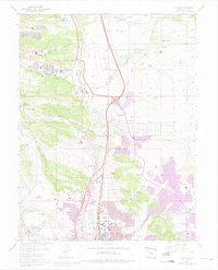
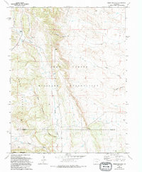
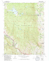
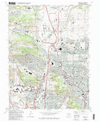
Rosemont and Duffield sit within a high-elevation landscape where the boundaries of El Paso, Teller, and Fremont counties meet. This terrain, largely protected within the Pike National Forest, is defined by significant summits including Mt Big Chief and the prominent Cheyenne Mtn. The hydrology of the area is complex, with Little Fountain Cr and East Beaver Creek draining the slopes of McKinley Peak and Mt Vigil.
Find a feature on this map
56 named features on this map. Tap any name to fly to it.
Don’t see what you’re looking for? This feature index may not catch every label — zoom into the map to look around manually.
Map Details
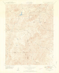
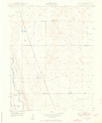
Editions of this 2022 Mount Big Chief Map
This is the sole edition of this map. No revisions or reprints were ever made.
Historical Maps of Duffield Through Time
89 maps found

1893 Big Springs
El Paso County, CO
1948 Cascade
El Paso County, CO

1948 Cheyenne Mountain
El Paso County, CO

1948 Falcon
El Paso County, CO

1948 Falcon
El Paso County, CO

1948 Falcon NW
El Paso County, CO

1948 Fountain SE
El Paso County, CO
1948 Mount Big Chief
El Paso County, CO

1948 Mount Big Chief
El Paso County, CO

1948 Pikeview
El Paso County, CO

1948 Timber Mountain
El Paso County, CO

1949 Buttes
El Paso County, CO

1949 Cheyenne Mountain
El Paso County, CO

1949 Corral Bluffs
El Paso County, CO

1949 Mount Big Chief
El Paso County, CO

1949 Pikeview
El Paso County, CO
1949 Timber Mountain
El Paso County, CO

1950 Cascade
El Paso County, CO
1950 Elsmere
El Paso County, CO
1950 Falcon NW
El Paso County, CO

1950 Fountain NE
El Paso County, CO
1950 Fountain SE
El Paso County, CO
1950 Manitou
El Paso County, CO

1951 Falcon
El Paso County, CO

1951 Mount Big Chief
El Paso County, CO
1954 Eastonville
El Paso County, CO
1954 Haegler Ranch
El Paso County, CO
1954 Hanover
El Paso County, CO
1954 Hanover NW
El Paso County, CO

1961 Buttes
El Paso County, CO
1961 Cascade
El Paso County, CO
1961 Cheyenne Mountain
El Paso County, CO
1961 Corral Bluffs
El Paso County, CO
1961 Elsmere
El Paso County, CO
1961 Falcon
El Paso County, CO

1961 Falcon NW
El Paso County, CO
1961 Fountain NE
El Paso County, CO
1961 Fountain SE
El Paso County, CO

1961 Mount Big Chief
El Paso County, CO
1961 Pikeview
El Paso County, CO
1961 Timber Mountain
El Paso County, CO
1970 Alta Vista
El Paso County, CO

1970 Ramah South
El Paso County, CO

1973 Big Springs Ranch
El Paso County, CO

1973 Edison School
El Paso County, CO

1973 Hanover NE
El Paso County, CO

1973 Hanover SE
El Paso County, CO

1973 Holcolm Hills
El Paso County, CO

1973 Holtwold Store
El Paso County, CO

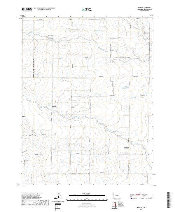
1973 Rush
El Paso County, CO

1973 Rush NW
El Paso County, CO

1973 Truckton
El Paso County, CO
1973 Truckton NE
El Paso County, CO

1973 Truckton SE
El Paso County, CO

1973 Yoder
El Paso County, CO
1986 Cascade
El Paso County, CO
1986 Pikeview
El Paso County, CO

1994 Cascade
El Paso County, CO

1994 Mount Big Chief
El Paso County, CO
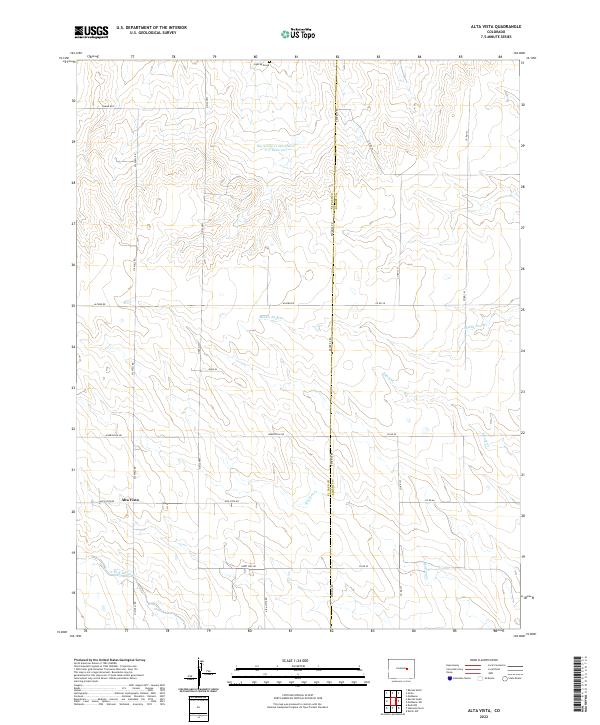
2022 Alta Vista
El Paso County, CO
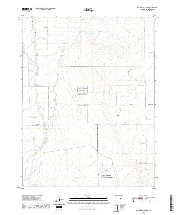
2022 Big Springs Ranch
El Paso County, CO
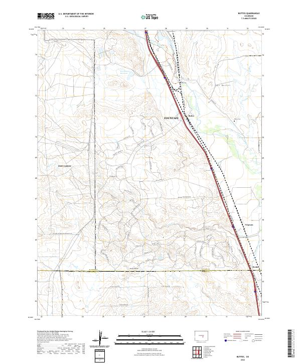
2022 Buttes
El Paso County, CO
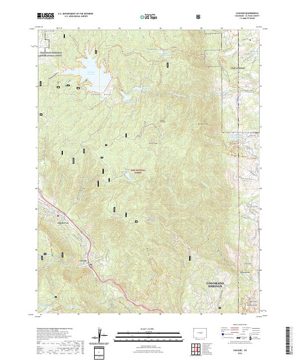
2022 Cascade
El Paso County, CO
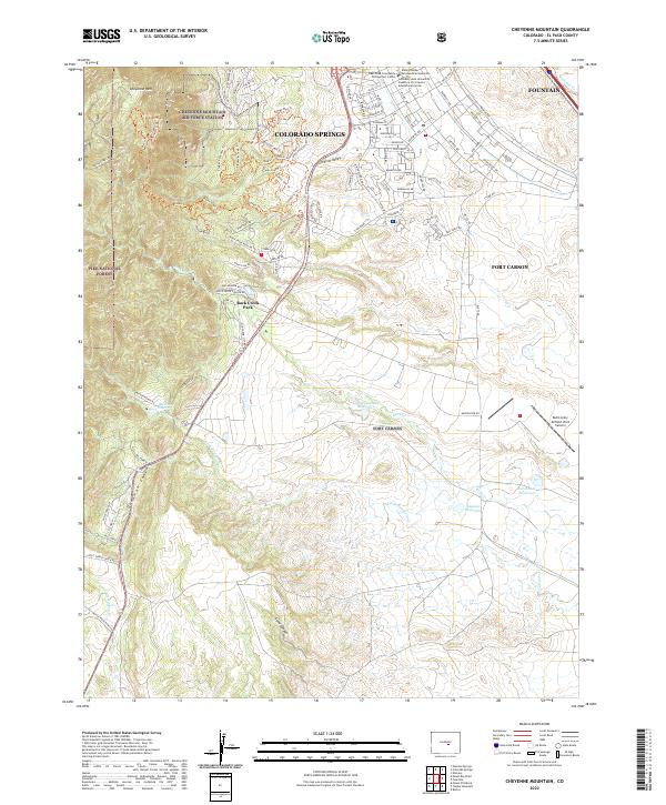
2022 Cheyenne Mountain
El Paso County, CO
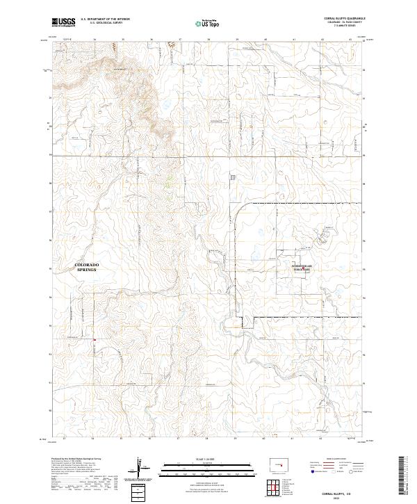
2022 Corral Bluffs
El Paso County, CO
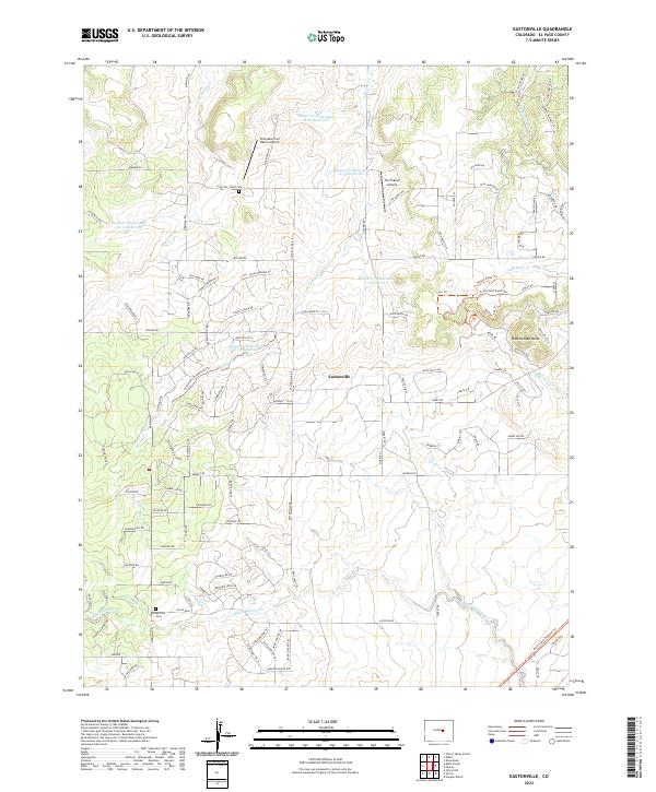
2022 Eastonville
El Paso County, CO
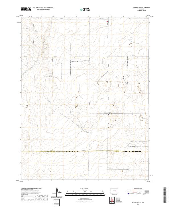
2022 Edison School
El Paso County, CO
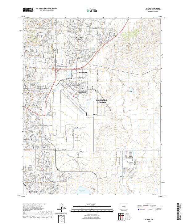
2022 Elsmere
El Paso County, CO
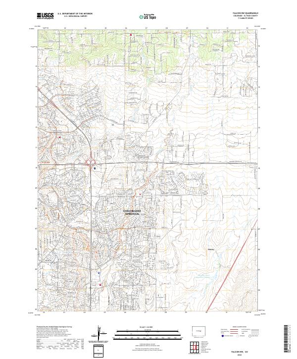
2022 Falcon NW
El Paso County, CO
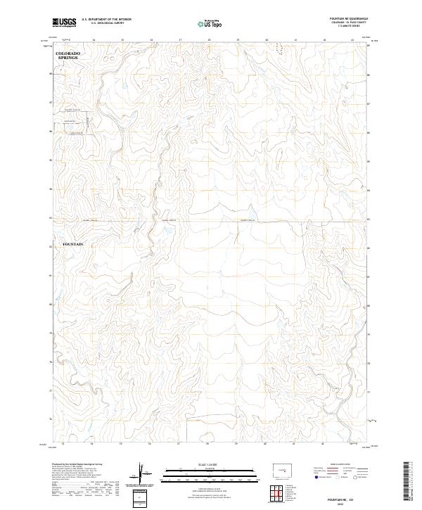
2022 Fountain NE
El Paso County, CO
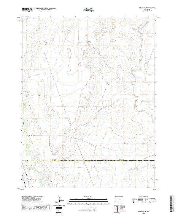
2022 Fountain SE
El Paso County, CO
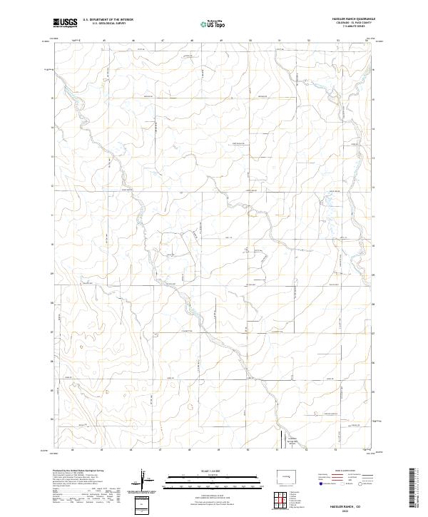
2022 Haegler Ranch
El Paso County, CO
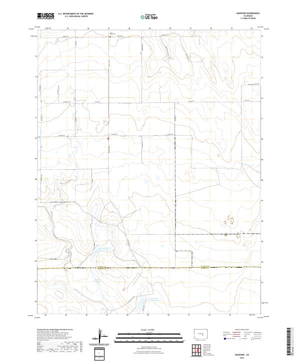
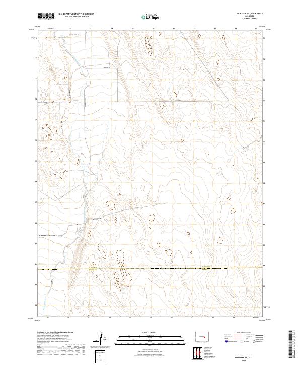
2022 Hanover
El Paso County, CO
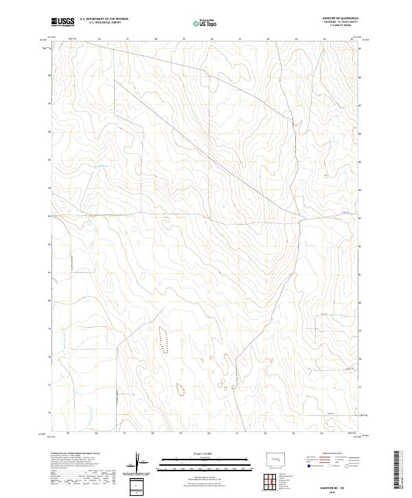
2022 Hanover NE
El Paso County, CO
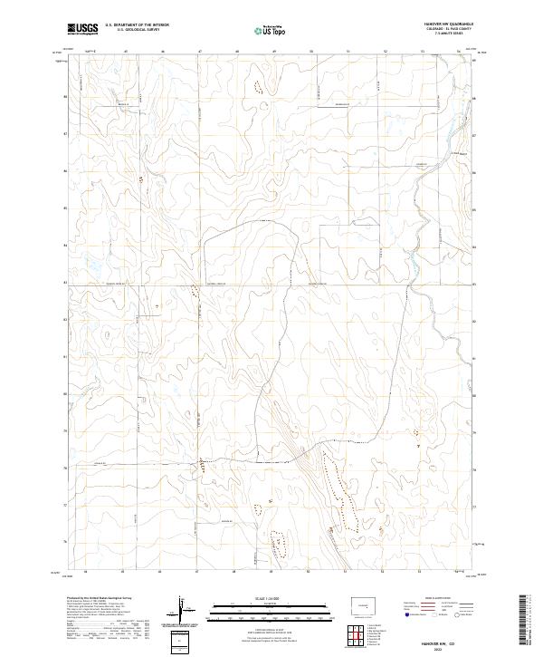
2022 Hanover NW
El Paso County, CO
2022 Hanover SE
El Paso County, CO
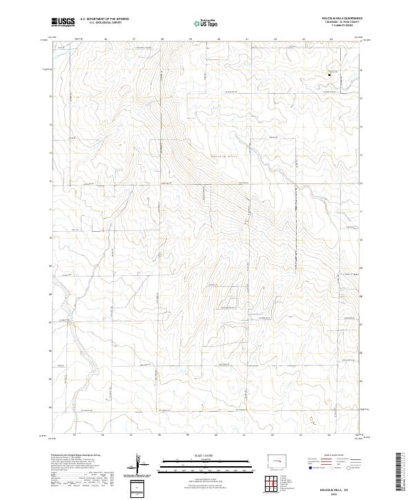
2022 Holcolm Hills
El Paso County, CO
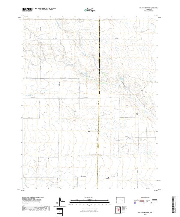
2022 Holtwold Store
El Paso County, CO
2022 Mount Big Chief
El Paso County, CO

2022 Ramah South
El Paso County, CO
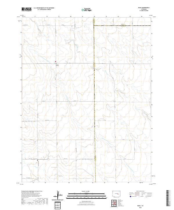
2022 Rush
El Paso County, CO
2022 Rush NW
El Paso County, CO

2022 Timber Mountain
El Paso County, CO
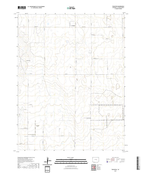
2022 Truckton
El Paso County, CO
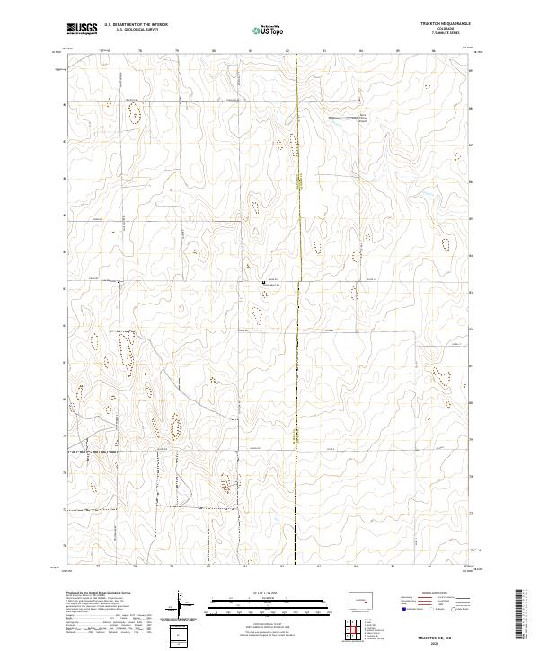
2022 Truckton NE
El Paso County, CO
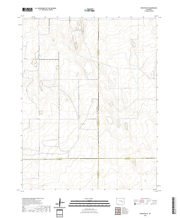
2022 Truckton SE
El Paso County, CO
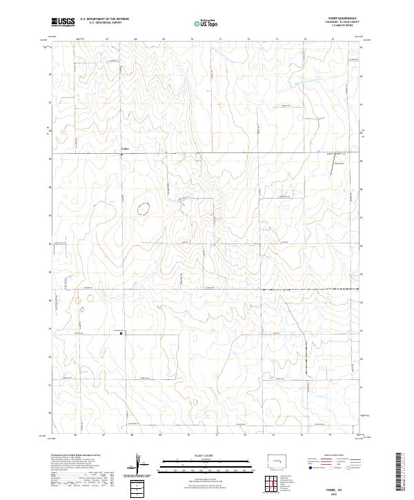
2022 Yoder
El Paso County, CO
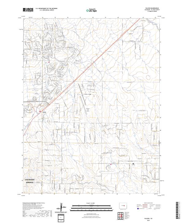
2023 Falcon
El Paso County, CO
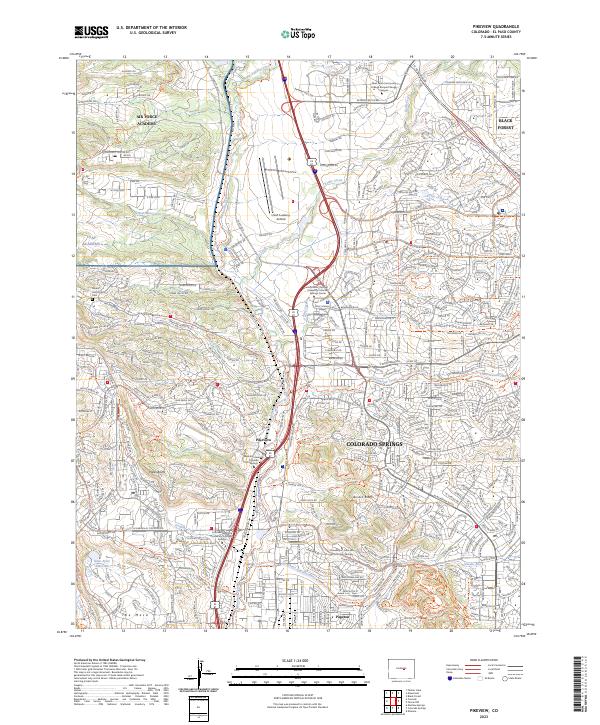
2023 Pikeview
El Paso County, CO