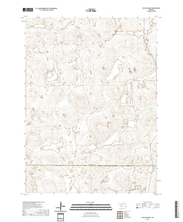
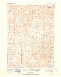
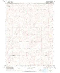
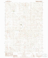
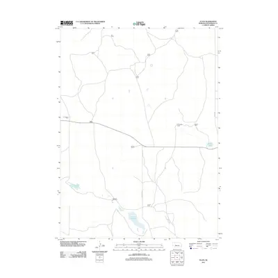
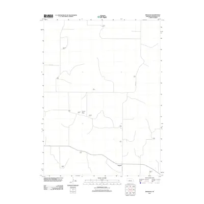
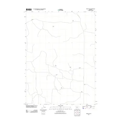
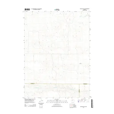
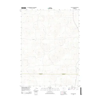
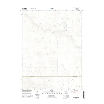
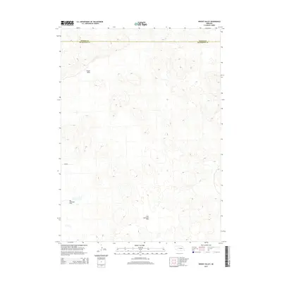
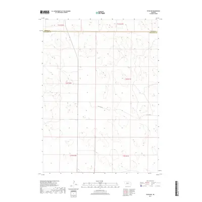
2021 Map of Pullen Ranch
USGS Topo · Published 2021About this map
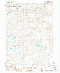
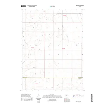
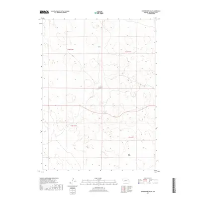
Pullen Ranch occupies a central position in this Nebraska sandhills landscape, representing the enduring pastoral tradition of the region. This 2021 survey shows a sparsely populated area where the primary landmarks are individual ranch holdings and the primitive road network that connects them. The boundary between McPherson Co and Lincoln Co cuts through the southern portion of the quadrangle, marking the transition between these two rural jurisdictions. The terrain is defined by undulating landforms and drainage patterns that dictate the placement of local routes like Griffith Rd and S Tryon Rd. This map provides a contemporary record of land use in a region where large-scale ranching remains the dominant geographic and economic feature.
Find a feature on this map
11 named features on this map. Tap any name to fly to it.
Don’t see what you’re looking for? This feature index may not catch every label — zoom into the map to look around manually.
Map Details
Editions of this 2021 Pullen Ranch Map
This is the sole edition of this map. No revisions or reprints were ever made.
Historical Maps of Lincoln County Through Time
75 maps found
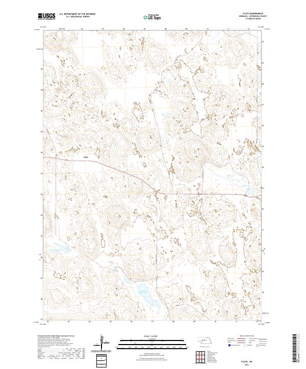
1949 Flats
McPherson County, NE
1949 Wright Valley
McPherson County, NE
1950 Flats
McPherson County, NE
1951 Wright Valley
McPherson County, NE
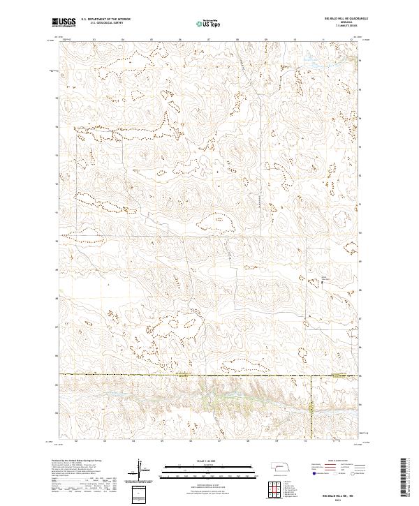
1972 Big Bald Hill NE
McPherson County, NE
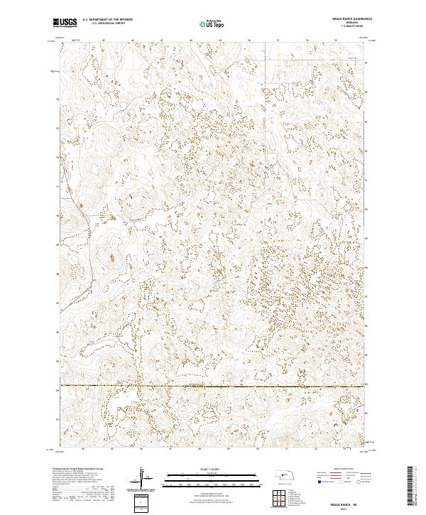
1972 Gragg Ranch
McPherson County, NE
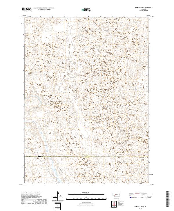
1972 Pierson Ranch
McPherson County, NE
1972 Pullen Ranch
McPherson County, NE
1972 Tin Camp Ranch
McPherson County, NE
1985 Flats
McPherson County, NE
1985 Ringgold
McPherson County, NE
1985 Schneringer Valley
McPherson County, NE
1985 Snyder Lake
McPherson County, NE
1985 Tryon NE
McPherson County, NE
1985 Tryon NW
McPherson County, NE
1985 Whitewater Lake
McPherson County, NE
1985 Wright Valley
McPherson County, NE
1985 Wright Valley NE
McPherson County, NE
2011 Big Bald Hill NE
McPherson County, NE
2011 Flats
McPherson County, NE
2011 Gragg Ranch
McPherson County, NE
2011 Pierson Ranch
McPherson County, NE
2011 Pullen Ranch
McPherson County, NE
2011 Ringgold
McPherson County, NE
2011 Schneringer Valley
McPherson County, NE
2011 Snyder Lake
McPherson County, NE
2011 Tin Camp Ranch
McPherson County, NE
2011 Tryon NE
McPherson County, NE

2011 Tryon NW
McPherson County, NE
2011 Whitewater Lake
McPherson County, NE
2011 Wright Valley
McPherson County, NE
2011 Wright Valley NE
McPherson County, NE
2014 Big Bald Hill NE
McPherson County, NE
2014 Flats
McPherson County, NE
2014 Gragg Ranch
McPherson County, NE
2014 Pierson Ranch
McPherson County, NE
2014 Pullen Ranch
McPherson County, NE
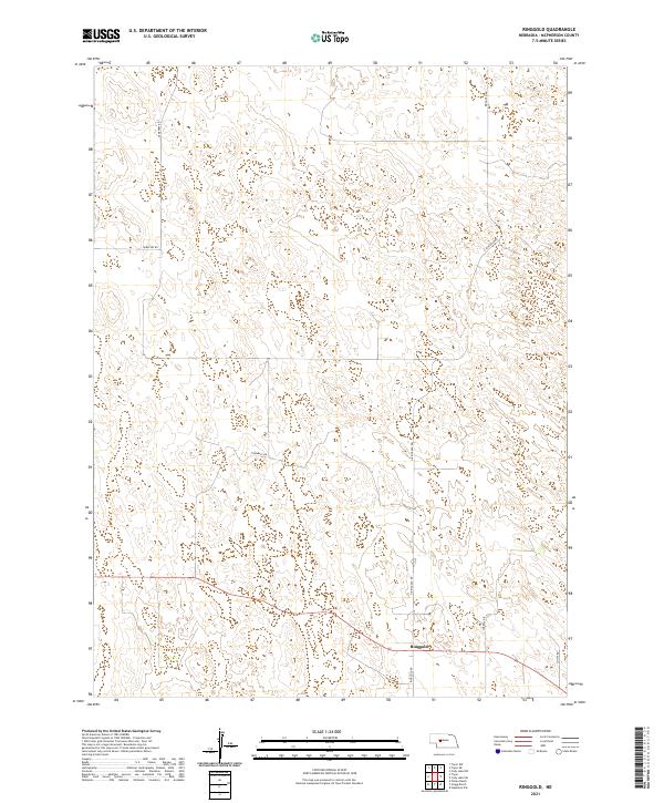
2014 Ringgold
McPherson County, NE
2014 Schneringer Valley
McPherson County, NE
2014 Snyder Lake
McPherson County, NE
2014 Tin Camp Ranch
McPherson County, NE
2014 Tryon NE
McPherson County, NE
2014 Tryon NW
McPherson County, NE
2014 Whitewater Lake
McPherson County, NE
2014 Wright Valley
McPherson County, NE
2014 Wright Valley NE
McPherson County, NE
2017 Big Bald Hill NE
McPherson County, NE
2017 Flats
McPherson County, NE
2017 Gragg Ranch
McPherson County, NE
2017 Pierson Ranch
McPherson County, NE
2017 Pullen Ranch
McPherson County, NE
2017 Ringgold
McPherson County, NE
2017 Schneringer Valley
McPherson County, NE
2017 Snyder Lake
McPherson County, NE
2017 Tin Camp Ranch
McPherson County, NE
2017 Tryon NE
McPherson County, NE
2017 Tryon NW
McPherson County, NE
2017 Whitewater Lake
McPherson County, NE
2017 Wright Valley
McPherson County, NE
2017 Wright Valley NE
McPherson County, NE
2021 Big Bald Hill NE
McPherson County, NE
2021 Flats
McPherson County, NE
2021 Gragg Ranch
McPherson County, NE
2021 Pierson Ranch
McPherson County, NE
2021 Pullen Ranch
McPherson County, NE
2021 Ringgold
McPherson County, NE
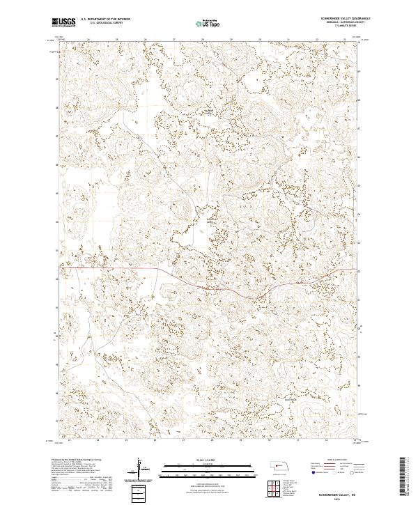
2021 Schneringer Valley
McPherson County, NE
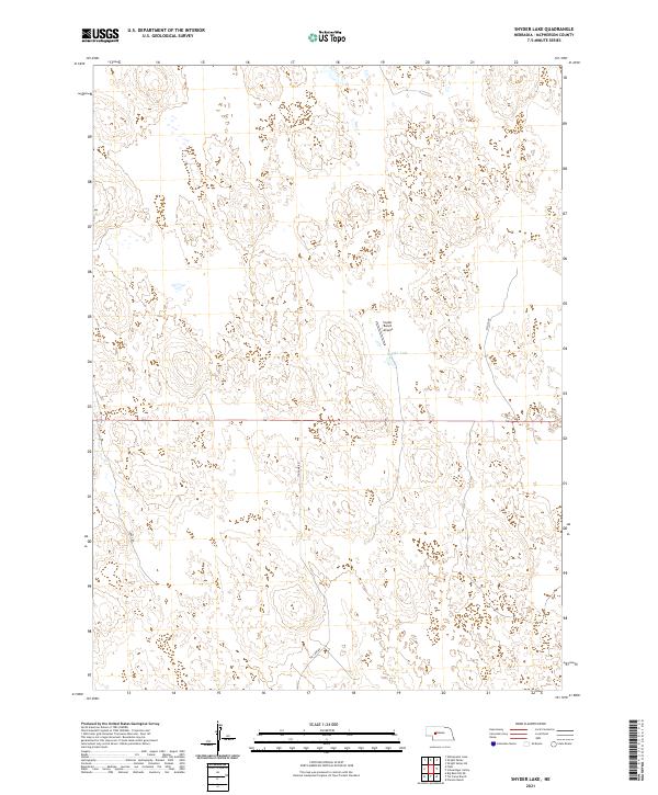
2021 Snyder Lake
McPherson County, NE
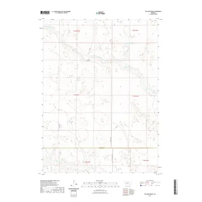
2021 Tin Camp Ranch
McPherson County, NE
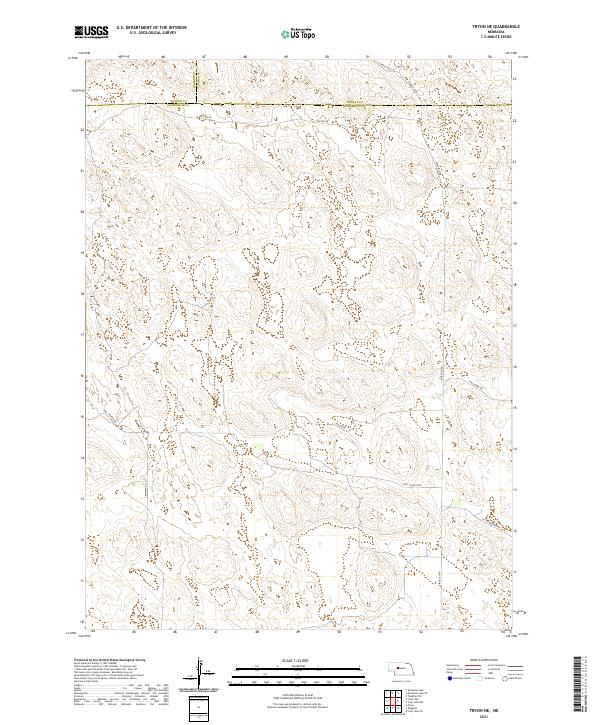
2021 Tryon NE
McPherson County, NE
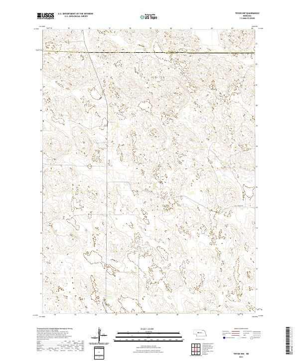
2021 Tryon NW
McPherson County, NE
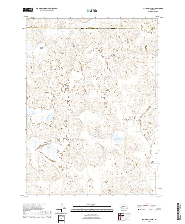
2021 Whitewater Lake
McPherson County, NE
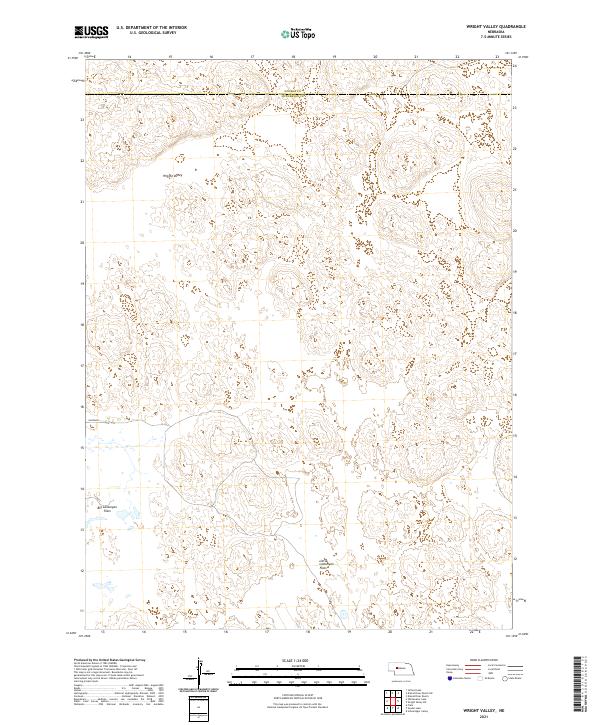
2021 Wright Valley
McPherson County, NE
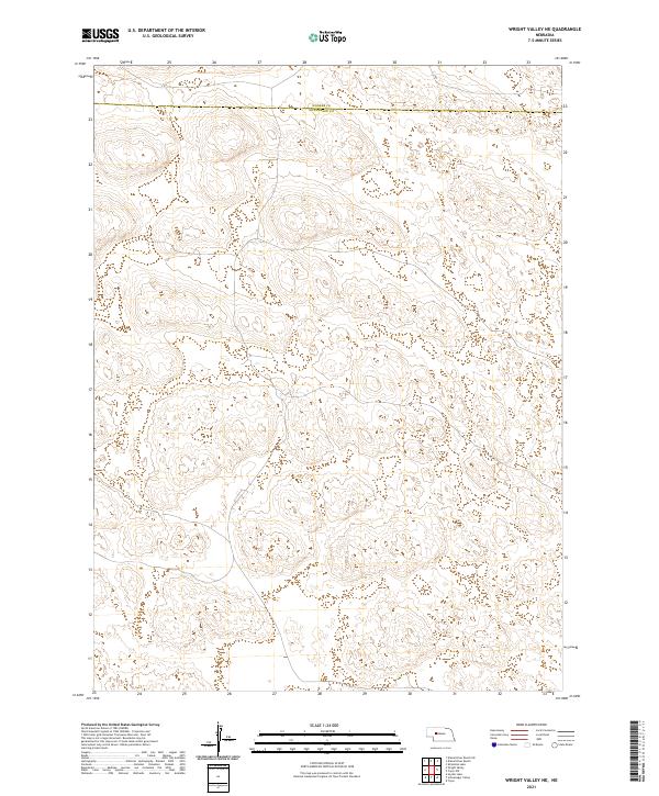
2021 Wright Valley NE
McPherson County, NE
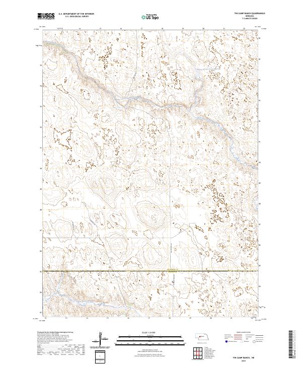
2023 Tin Camp Ranch
McPherson County, NE