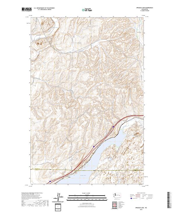
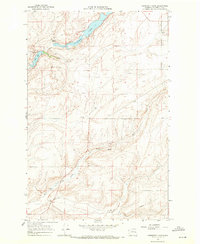
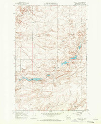
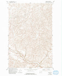
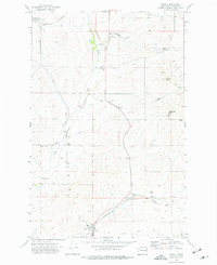
2023 Map of Sprague Lake
USGS Topo · Published 2023About this map
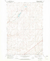
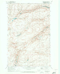
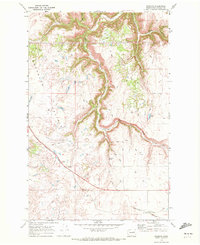
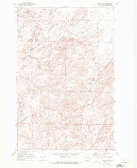
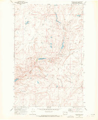
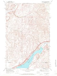
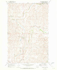
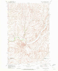
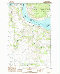
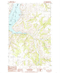
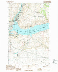
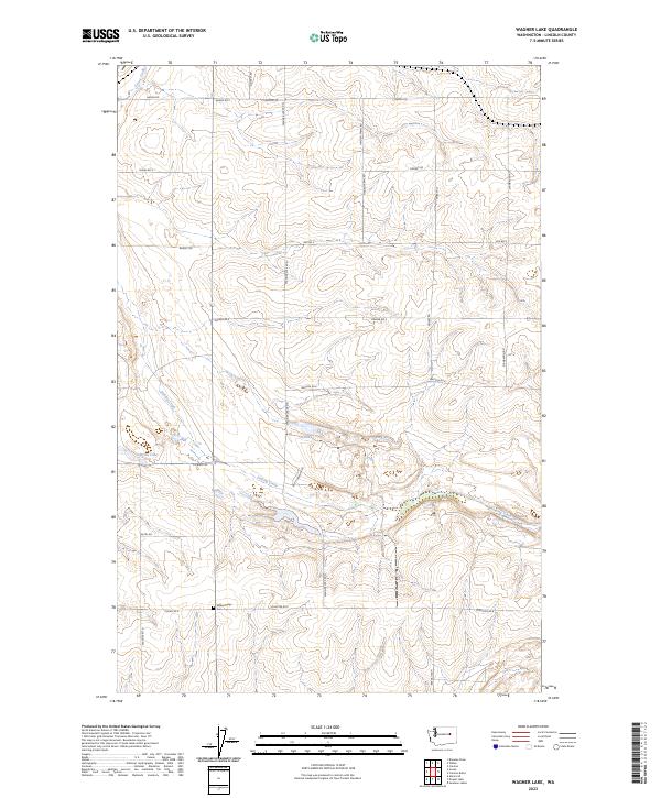
Sprague Lake dominates the southern reaches of this landscape where the borders of Lincoln and Adams counties meet. The settlement of Pifer sits along the northern shore, positioned where the transport corridor of modern highways and local routes like Bob Lee Rd intersect with the water. The terrain is defined by a network of drainage systems, including the westward-flowing Crab Creek and its tributaries, Lords Creek and Sheep Creek, which carve through the distinct scabland topography of the region.
Find a feature on this map
33 named features on this map. Tap any name to fly to it.
Don’t see what you’re looking for? This feature index may not catch every label — zoom into the map to look around manually.
Map Details
Editions of this 2023 Sprague Lake Map
This is the sole edition of this map. No revisions or reprints were ever made.
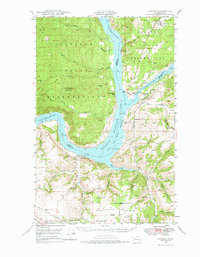
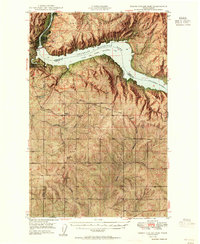
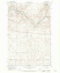
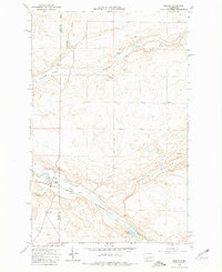
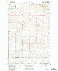
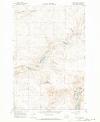
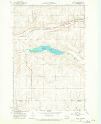
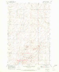
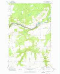
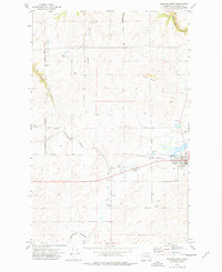
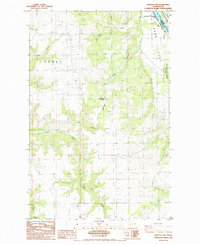
Historical Maps of Pifer Through Time
80 maps found
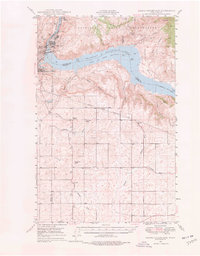
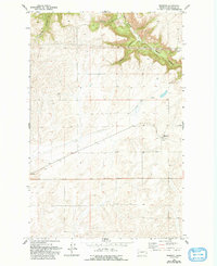
1948 Grand Coulee Dam
Lincoln County, WA
1948 Lincoln
Lincoln County, WA
1950 Grand Coulee Dam
Lincoln County, WA

1950 Lincoln
Lincoln County, WA
1968 Coffeepot Lake
Lincoln County, WA
1968 Irby
Lincoln County, WA
1968 Marlin
Lincoln County, WA
1968 Marlin SW
Lincoln County, WA
1968 Pacific Lake
Lincoln County, WA
1968 Sullivan Lake
Lincoln County, WA
1968 Sylvan Lake
Lincoln County, WA
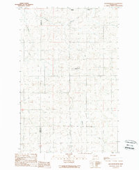
1969 Almira SE
Lincoln County, WA
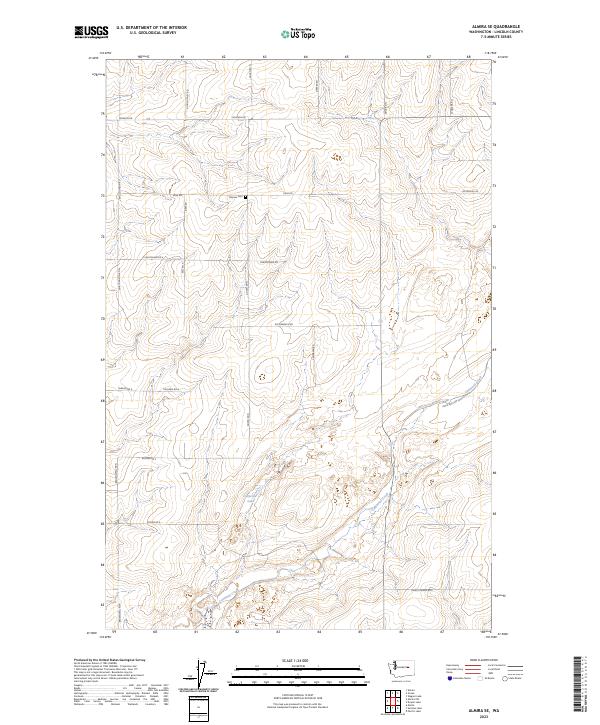
1969 Almira SW
Lincoln County, WA
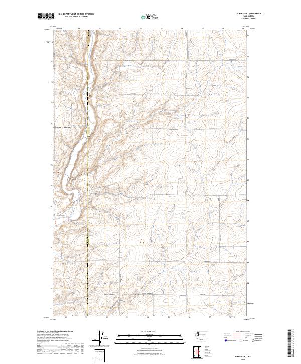
1969 Bluestem
Lincoln County, WA
1969 Cormana Lake
Lincoln County, WA
1969 Creston Butte
Lincoln County, WA
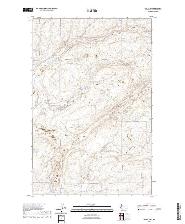
1969 Draper Lake
Lincoln County, WA
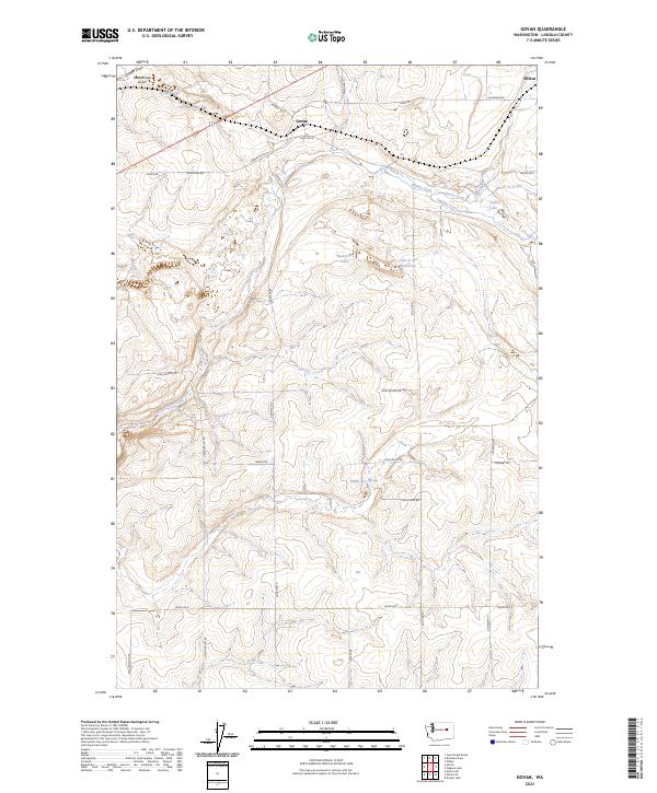
1969 Govan
Lincoln County, WA
1969 Harrington SE
Lincoln County, WA
1969 Lamona
Lincoln County, WA
1969 Lords Valley
Lincoln County, WA
1969 Mondovi
Lincoln County, WA
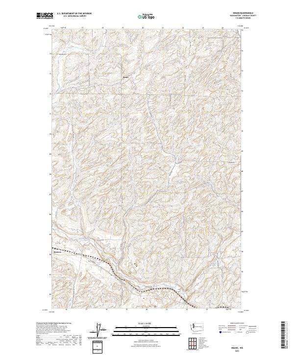
1969 Omans
Lincoln County, WA
1969 Rocklyn
Lincoln County, WA
1969 Rocklyn SE
Lincoln County, WA
1969 Rocklyn SW
Lincoln County, WA
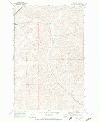
1969 Sprague Lake
Lincoln County, WA
1969 Sprague Lake NE
Lincoln County, WA
1969 Sprague Lake SW
Lincoln County, WA
1969 Swanson Lakes
Lincoln County, WA
1969 Telford
Lincoln County, WA
1969 Wagner Lake
Lincoln County, WA
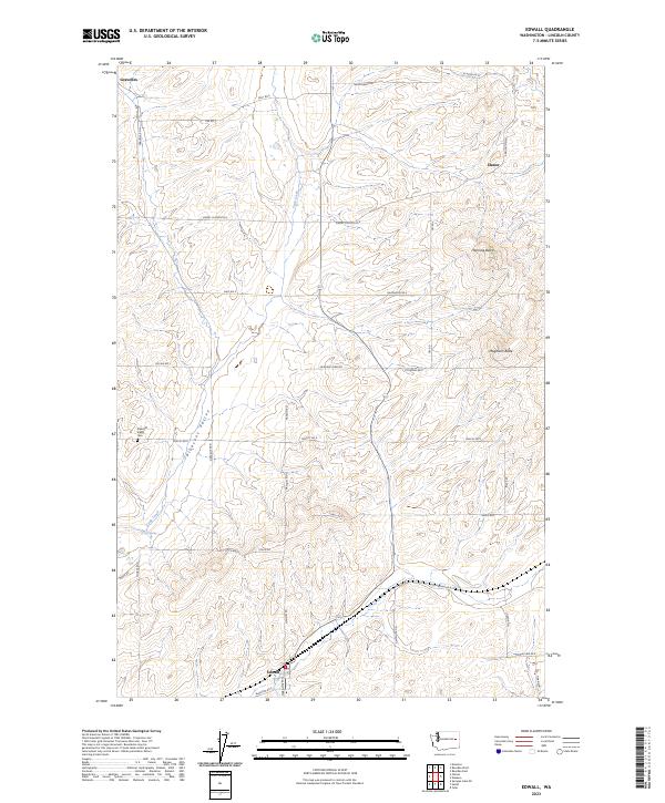
1973 Edwall
Lincoln County, WA
1973 Little Falls
Lincoln County, WA
1973 Reardan West
Lincoln County, WA

1980 Sassin
Lincoln County, WA
1985 Inkster Lake
Lincoln County, WA
1985 Lincoln
Lincoln County, WA
1985 Olsen Canyon
Lincoln County, WA
1989 Broadax Draw
Lincoln County, WA
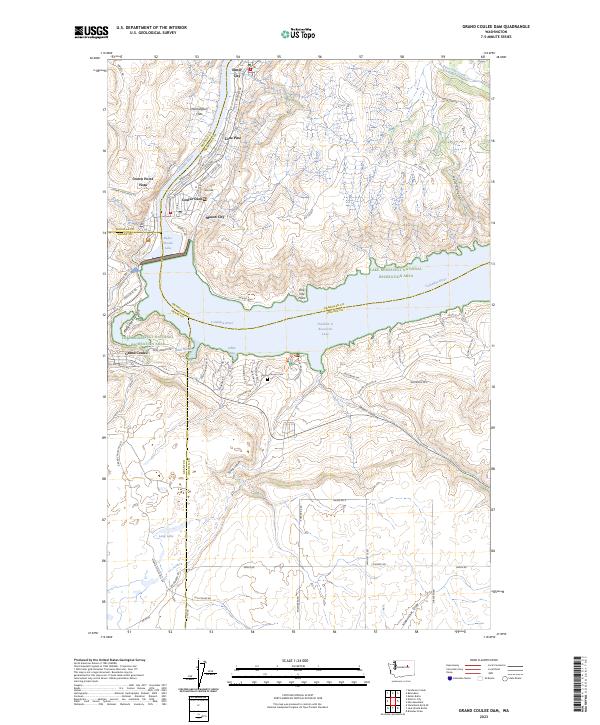
1989 Grand Coulee Dam
Lincoln County, WA
1989 Jack Woods Butte
Lincoln County, WA
2023 Almira SE
Lincoln County, WA
2023 Almira SW
Lincoln County, WA
2023 Bluestem
Lincoln County, WA
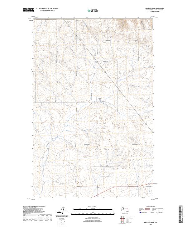
2023 Broadax Draw
Lincoln County, WA
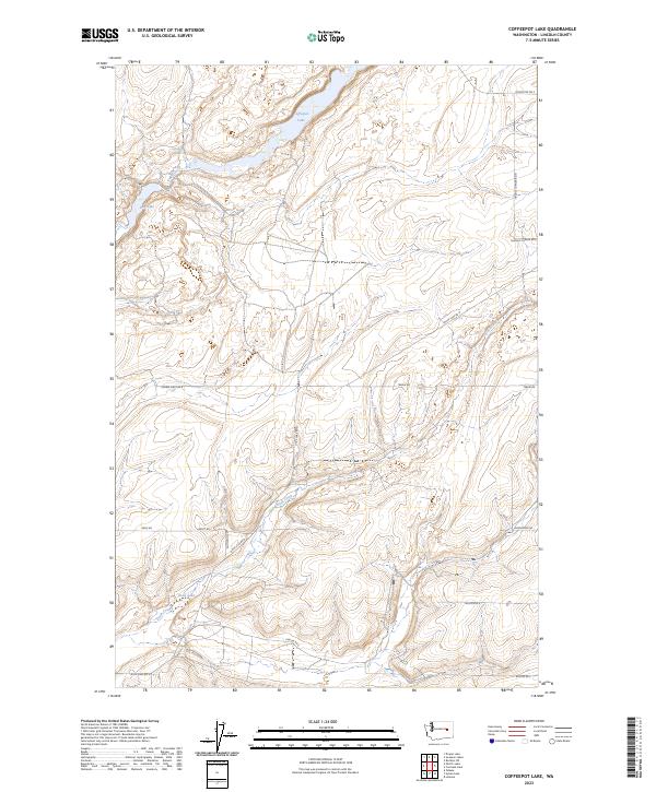
2023 Coffeepot Lake
Lincoln County, WA
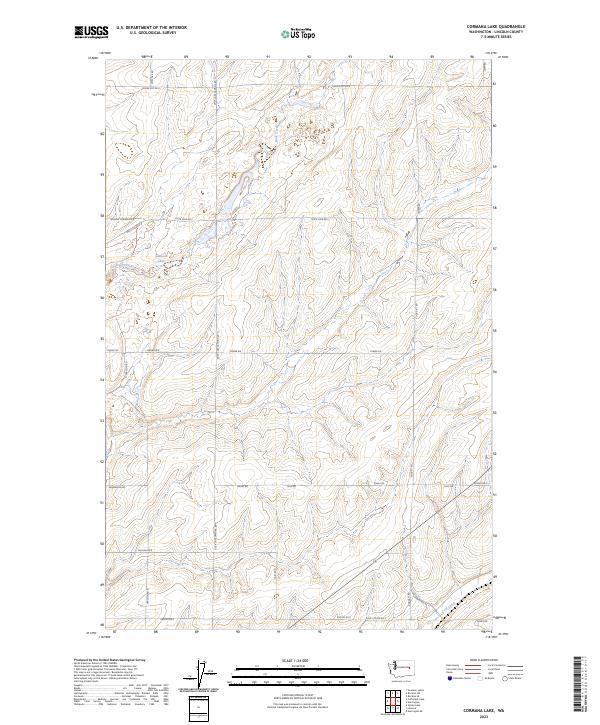
2023 Cormana Lake
Lincoln County, WA
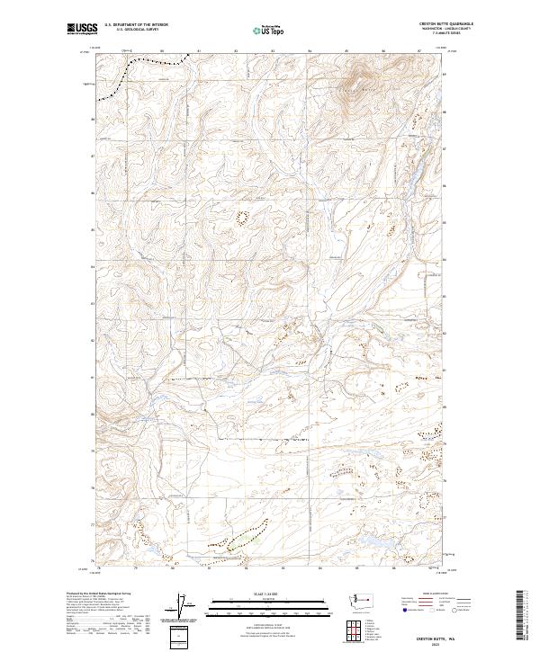
2023 Creston Butte
Lincoln County, WA
2023 Draper Lake
Lincoln County, WA
2023 Edwall
Lincoln County, WA
2023 Govan
Lincoln County, WA
2023 Grand Coulee Dam
Lincoln County, WA
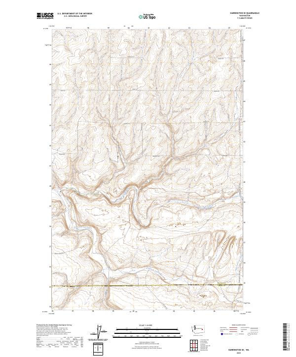
2023 Harrington SE
Lincoln County, WA
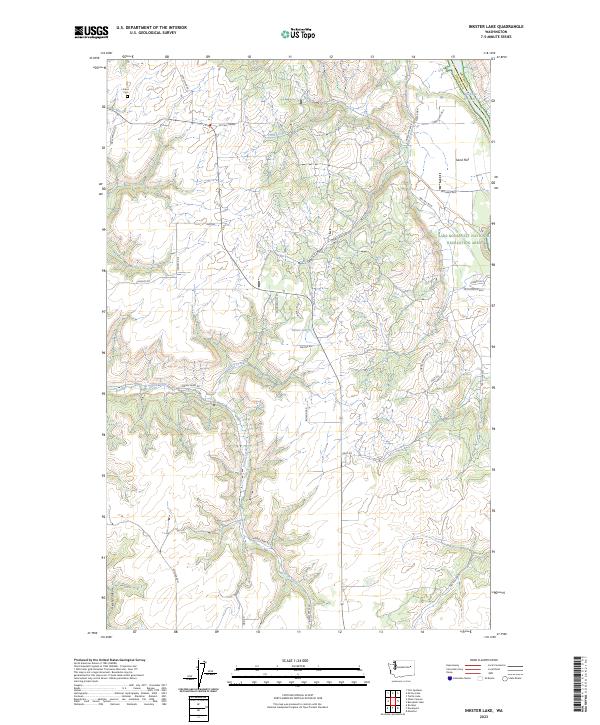
2023 Inkster Lake
Lincoln County, WA
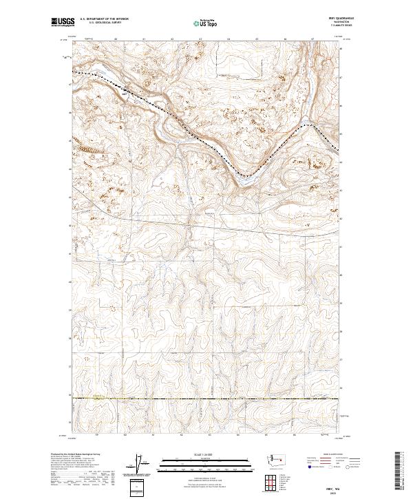
2023 Irby
Lincoln County, WA
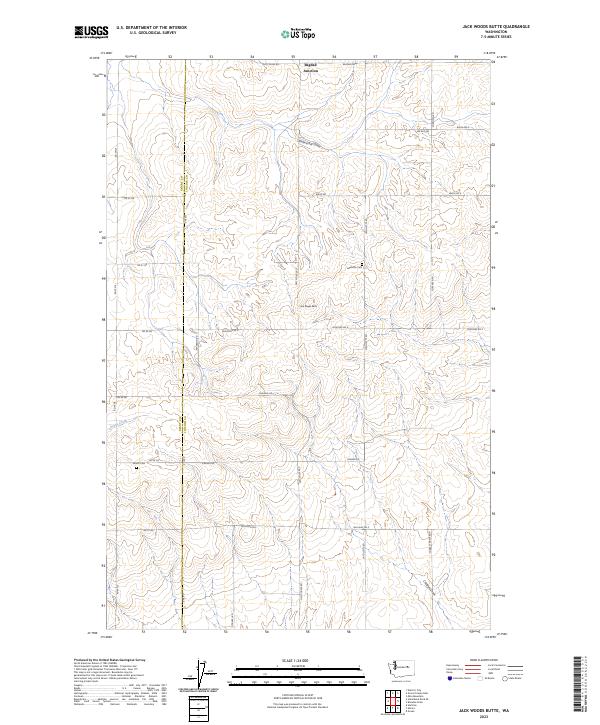
2023 Jack Woods Butte
Lincoln County, WA
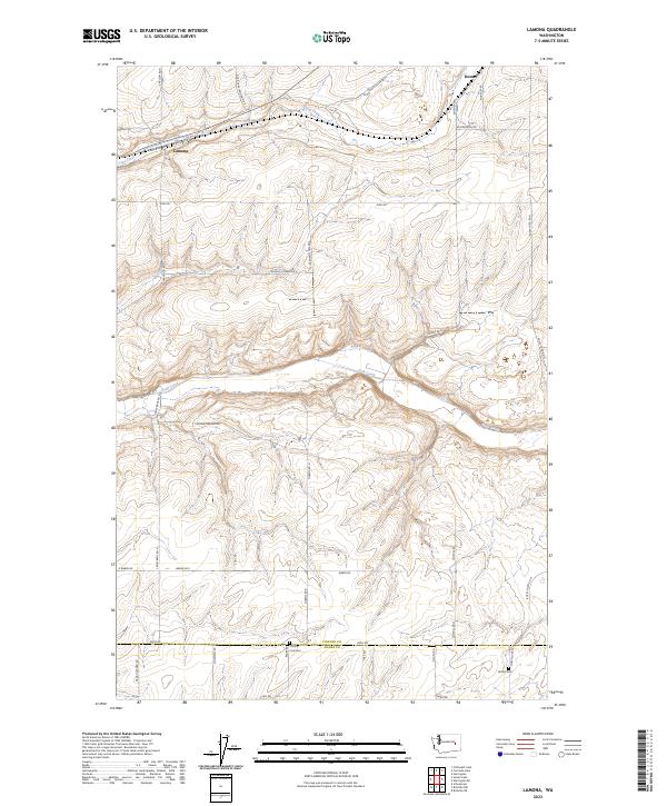
2023 Lamona
Lincoln County, WA
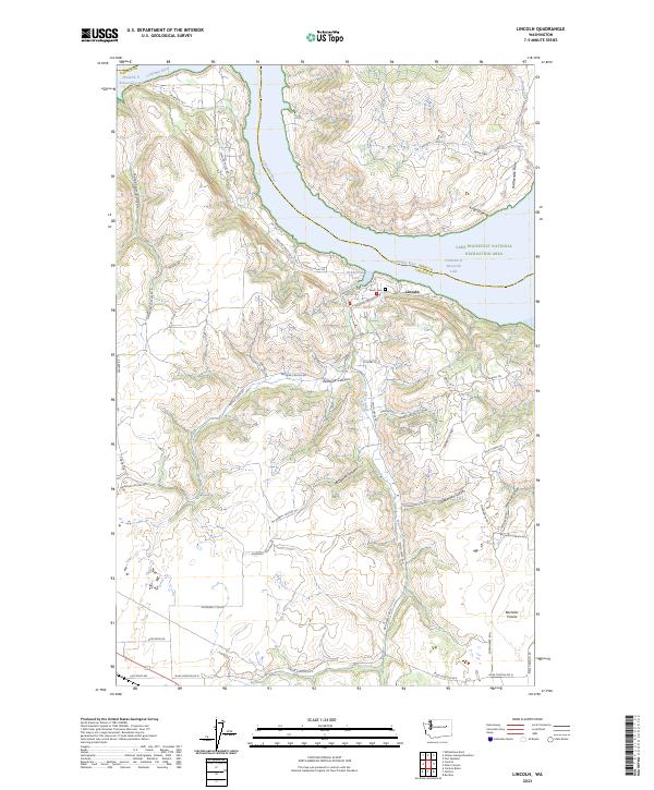
2023 Lincoln
Lincoln County, WA
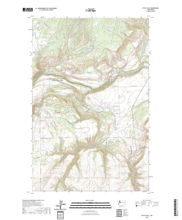
2023 Little Falls
Lincoln County, WA
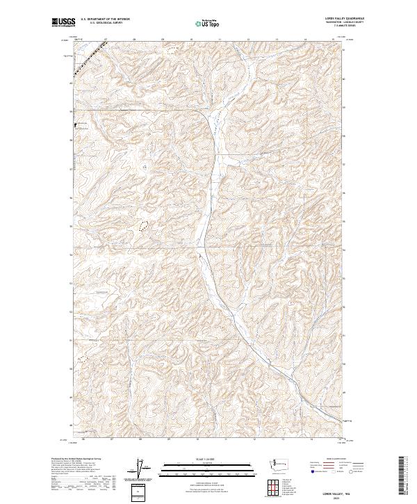
2023 Lords Valley
Lincoln County, WA
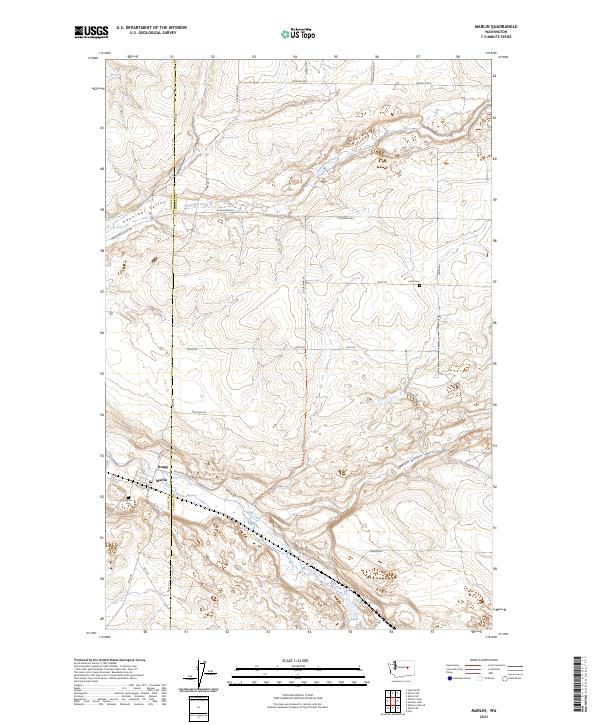
2023 Marlin
Lincoln County, WA
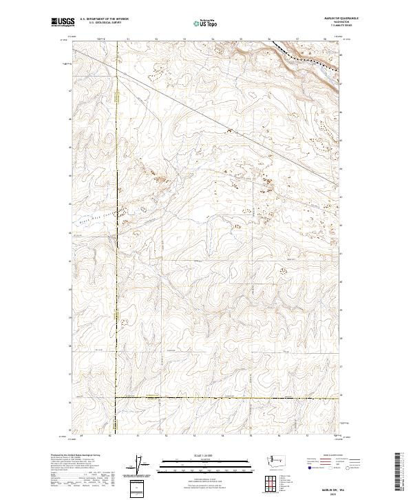
2023 Marlin SW
Lincoln County, WA
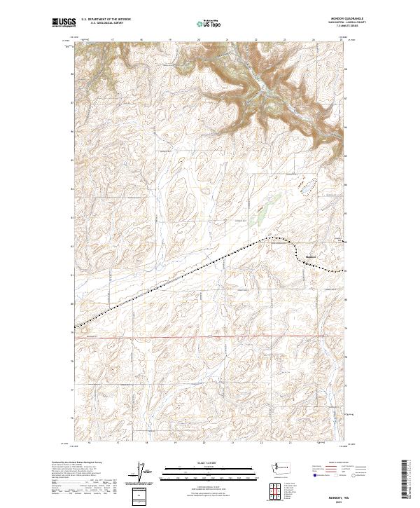
2023 Mondovi
Lincoln County, WA
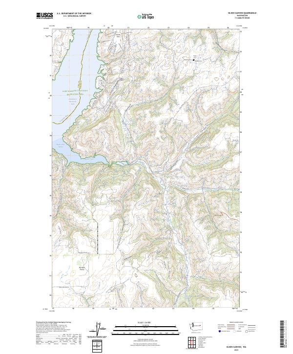
2023 Olsen Canyon
Lincoln County, WA
2023 Omans
Lincoln County, WA
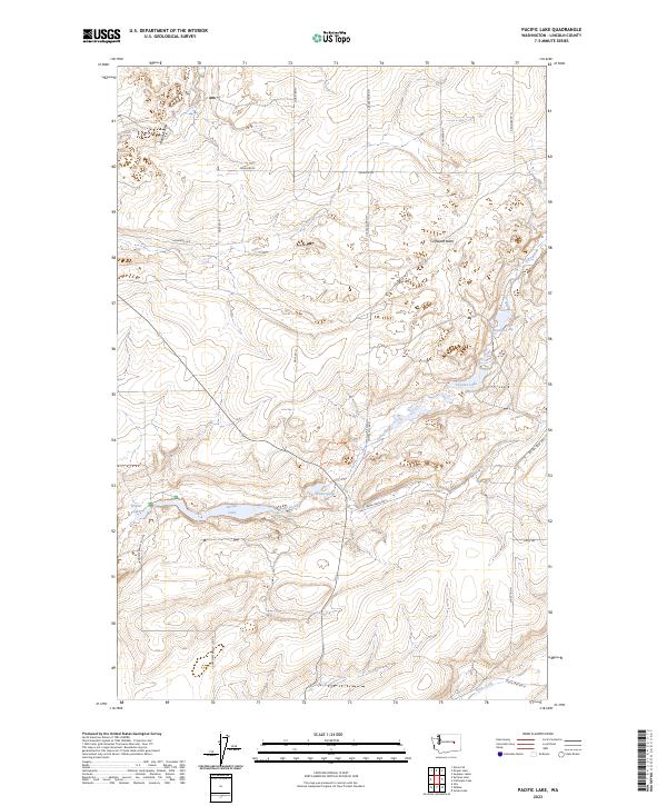
2023 Pacific Lake
Lincoln County, WA

2023 Reardan West
Lincoln County, WA
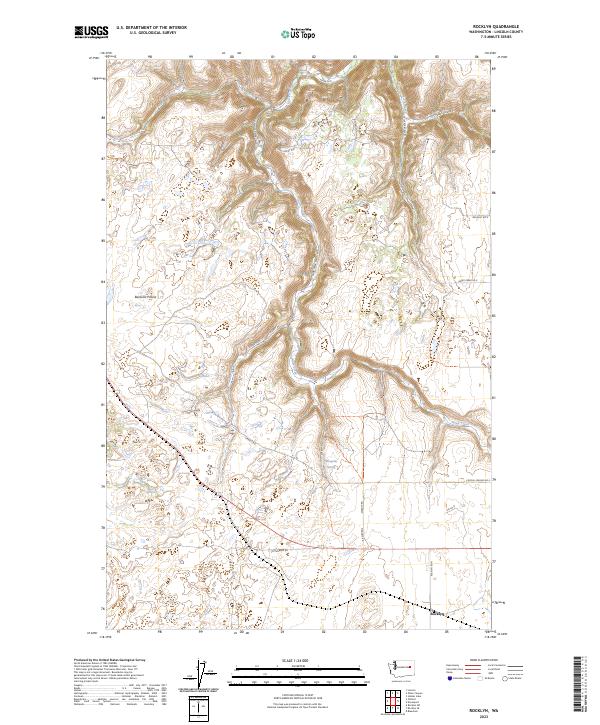
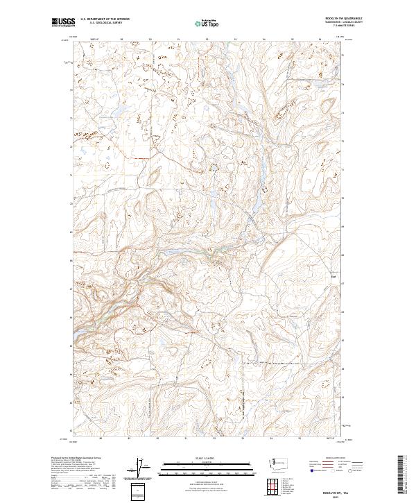
2023 Rocklyn
Lincoln County, WA
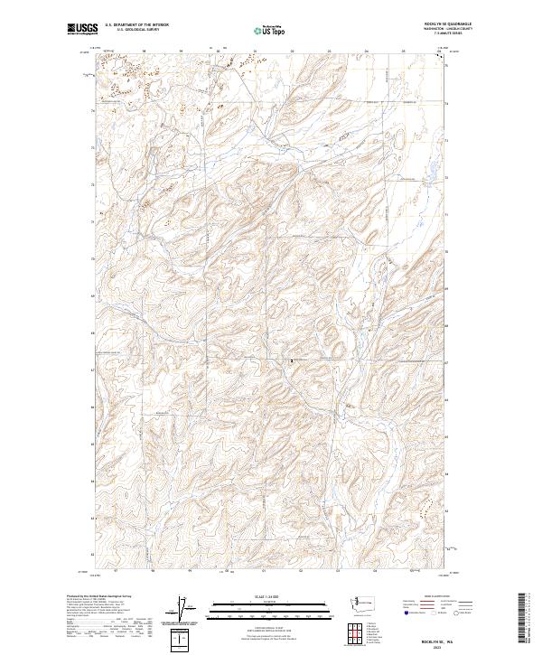
2023 Rocklyn SE
Lincoln County, WA
2023 Rocklyn SW
Lincoln County, WA
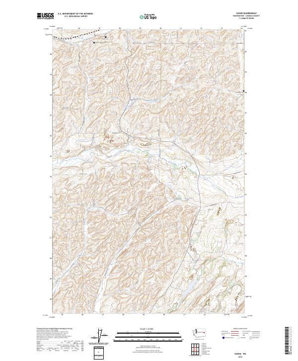
2023 Sassin
Lincoln County, WA
2023 Sprague Lake
Lincoln County, WA
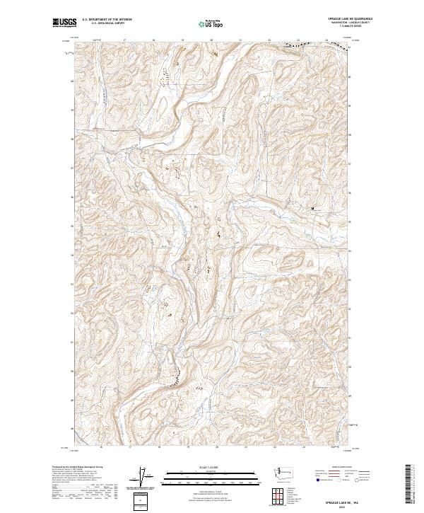
2023 Sprague Lake NE
Lincoln County, WA
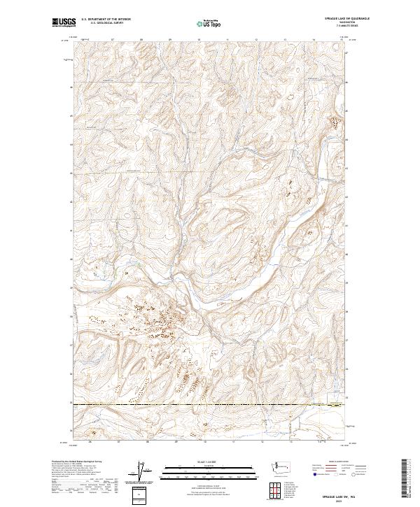
2023 Sprague Lake SW
Lincoln County, WA
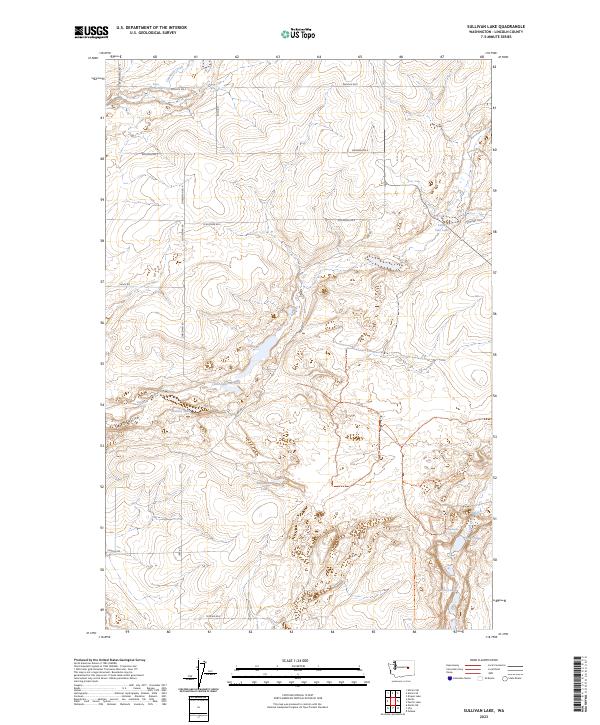
2023 Sullivan Lake
Lincoln County, WA
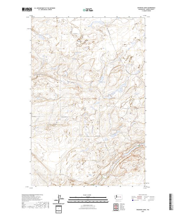
2023 Swanson Lakes
Lincoln County, WA
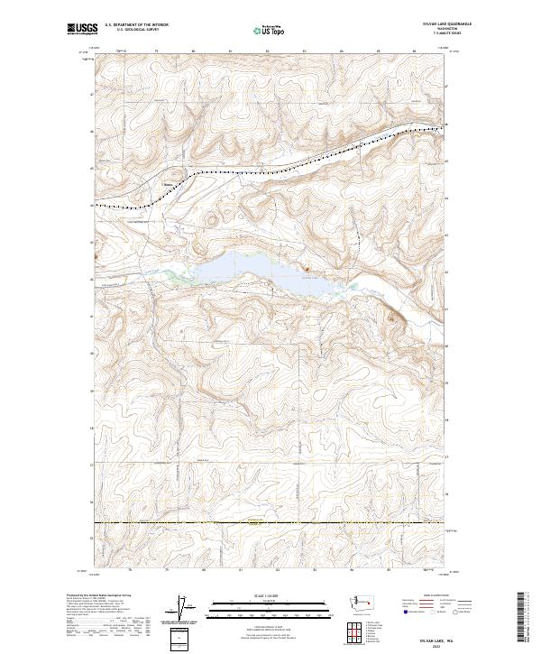
2023 Sylvan Lake
Lincoln County, WA
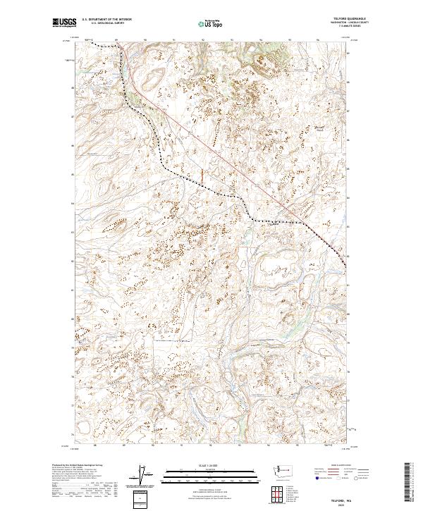
2023 Telford
Lincoln County, WA
2023 Wagner Lake
Lincoln County, WA