
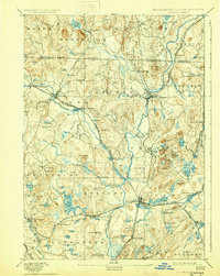
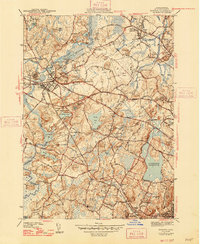
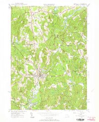
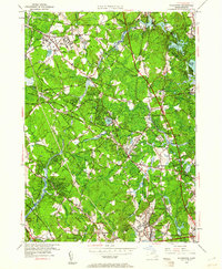
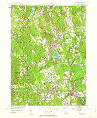
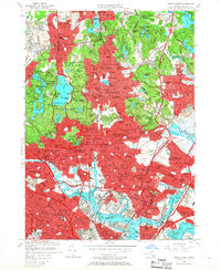
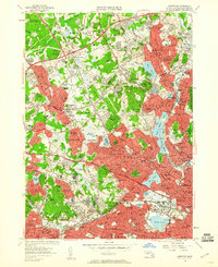
1977 Map of Boston North
USGS Topo · Published 1980About this map
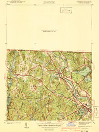
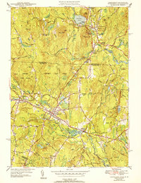
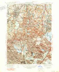
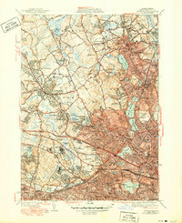
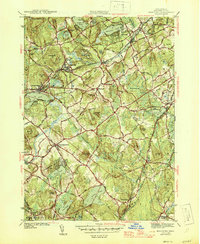
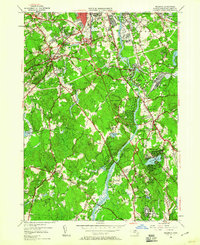
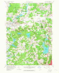
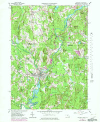
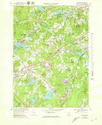
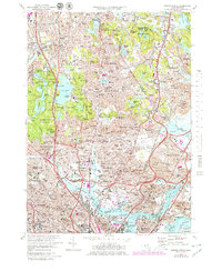
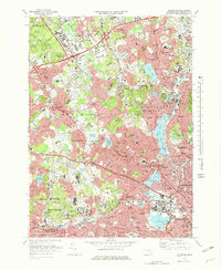
The Mystic River serves as the central artery of this orthophotoquad, which captures the densely developed urban corridor north of Boston in the late 1970s. Unlike traditional line-drawn maps, this aerial imagery reveals the true density of neighborhoods in Somerville and Cambridge, showing the closely packed residential blocks and industrial zones that define the region. The view extends from the residential streets of Melrose and Malden in the north down to the piers and waterfront infrastructure of Boston Harbor. This specific survey, produced by the Department of the Interior, provides researchers with an exact visual record of the region's mid-century urban planning, including the complex highway and rail networks cutting through Everett and Chelsea just before the major redevelopment projects of the late 20th century.
Find a feature on this map
11 named features on this map. Tap any name to fly to it.
Don’t see what you’re looking for? This feature index may not catch every label — zoom into the map to look around manually.
Map Details
Editions of this 1977 Boston North Map
This is the sole edition of this map. No revisions or reprints were ever made.
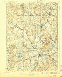
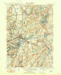
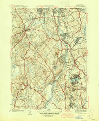
Historical Maps of Boston Through Time
90 maps found
1893 Groton
Middlesex County, MA

1931 Groton
Middlesex County, MA

1935 Ayer
Middlesex County, MA

1935 Groton
Middlesex County, MA
1936 Groton
Middlesex County, MA
1939 Ayer
Middlesex County, MA

1940 Tyngsoboro
Middlesex County, MA

1940 Westford
Middlesex County, MA
1941 Billerica
Middlesex County, MA

1941 Holliston
Middlesex County, MA
1941 Tyngsboro
Middlesex County, MA

1941 Westford
Middlesex County, MA

1942 Billerica
Middlesex County, MA

1942 Holliston
Middlesex County, MA

1942 Tyngsboro
Middlesex County, MA

1943 Boston North
Middlesex County, MA
1943 Concord
Middlesex County, MA
1943 Hudson
Middlesex County, MA

1943 Maynard
Middlesex County, MA
1943 Natick
Middlesex County, MA

1944 Lexington
Middlesex County, MA

1944 Pepperell
Middlesex County, MA
1944 Townsend
Middlesex County, MA

1944 Wilmington
Middlesex County, MA

1946 Ashby
Middlesex County, MA
1946 Boston North
Middlesex County, MA
1946 Lexington
Middlesex County, MA

1946 Tyngsboro
Middlesex County, MA
1946 Westford
Middlesex County, MA

1949 Boston North
Middlesex County, MA

1950 Ashby
Middlesex County, MA

1950 Ayer
Middlesex County, MA
1950 Billerica
Middlesex County, MA
1950 Concord
Middlesex County, MA

1950 Hudson
Middlesex County, MA
1950 Maynard
Middlesex County, MA
1950 Natick
Middlesex County, MA
1950 Pepperell
Middlesex County, MA
1950 Townsend
Middlesex County, MA
1950 Tyngsboro
Middlesex County, MA
1950 Westford
Middlesex County, MA
1950 Wilmington
Middlesex County, MA
1953 Holliston
Middlesex County, MA
1956 Boston North
Middlesex County, MA
1956 Lexington
Middlesex County, MA
1958 Concord
Middlesex County, MA
1958 Natick
Middlesex County, MA

1965 Ashby
Middlesex County, MA
1965 Billerica
Middlesex County, MA
1965 Maynard
Middlesex County, MA
1965 Pepperell
Middlesex County, MA

1965 Townsend
Middlesex County, MA
1965 Wilmington
Middlesex County, MA
1966 Ayer
Middlesex County, MA
1966 Hudson
Middlesex County, MA
1966 Westford
Middlesex County, MA
1969 Holliston
Middlesex County, MA
1970 Concord
Middlesex County, MA
1970 Natick
Middlesex County, MA
1971 Boston North
Middlesex County, MA
1971 Lexington
Middlesex County, MA

1975 Townsend
Middlesex County, MA
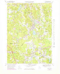
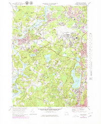
1977 Boston North
Middlesex County, MA

1977 Concord
Middlesex County, MA

1977 Holliston
Middlesex County, MA

1977 Hudson
Middlesex County, MA

1977 Lexington
Middlesex County, MA

1977 Maynard
Middlesex County, MA

1977 Natick
Middlesex County, MA

1977 Wilmington
Middlesex County, MA
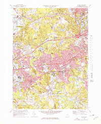
1985 Boston North
Middlesex County, MA

1987 Billerica
Middlesex County, MA
1987 Maynard
Middlesex County, MA

1987 Reading
Middlesex County, MA

1988 Ayer
Middlesex County, MA

1988 Townsend
Middlesex County, MA

2024 Ashby
Middlesex County, MA
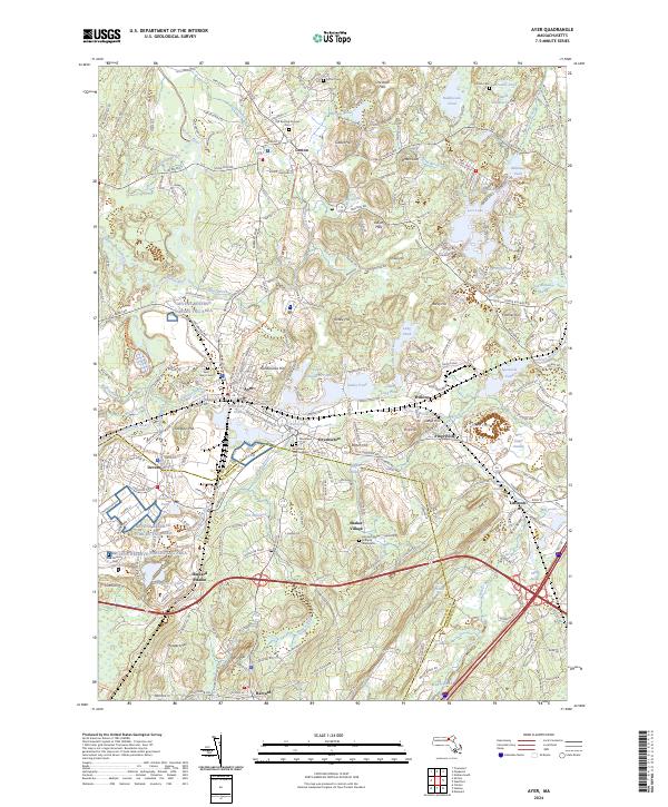
2024 Ayer
Middlesex County, MA

2024 Billerica
Middlesex County, MA

2024 Boston North
Middlesex County, MA

2024 Concord
Middlesex County, MA
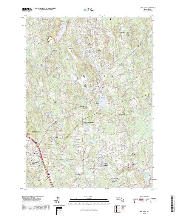
2024 Holliston
Middlesex County, MA

2024 Hudson
Middlesex County, MA

2024 Lexington
Middlesex County, MA

2024 Maynard
Middlesex County, MA
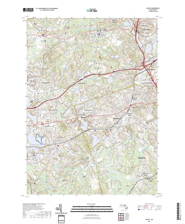
2024 Natick
Middlesex County, MA
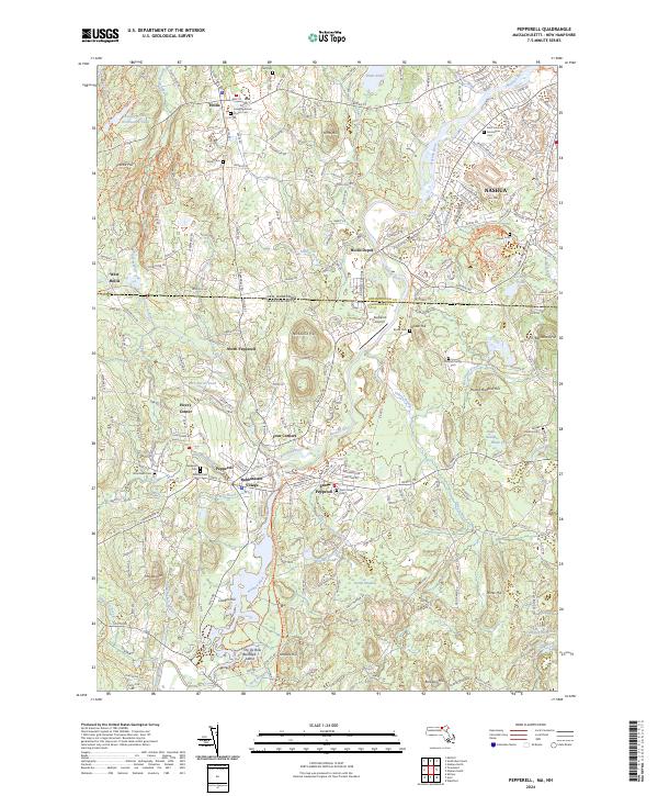
2024 Pepperell
Middlesex County, MA

2024 Townsend
Middlesex County, MA

2024 Westford
Middlesex County, MA

2024 Wilmington
Middlesex County, MA